|
|
Essex
Essex on Wikipedia.
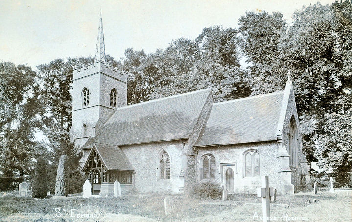
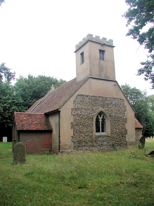
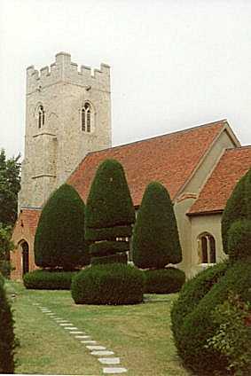
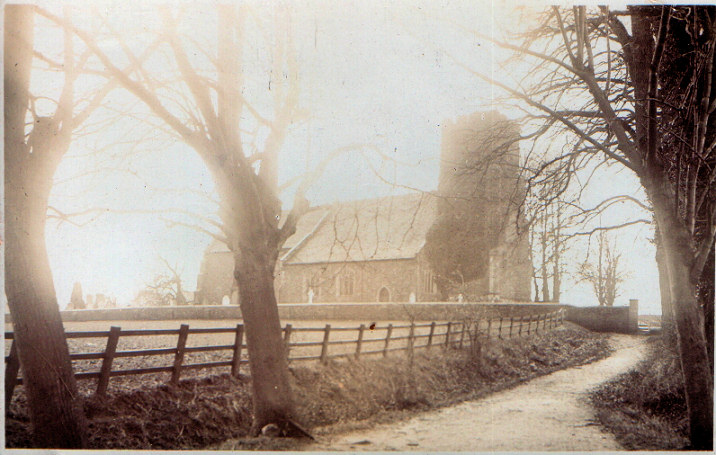
Abbess Roding, St. Edmund. TL 5717 1144. From an old postcard (franked 1911) in Reg Dosell's
Collection. Modern Streetviews are much impeded by vegetation, but there's
a good photo on the
grade II listing.
Link.
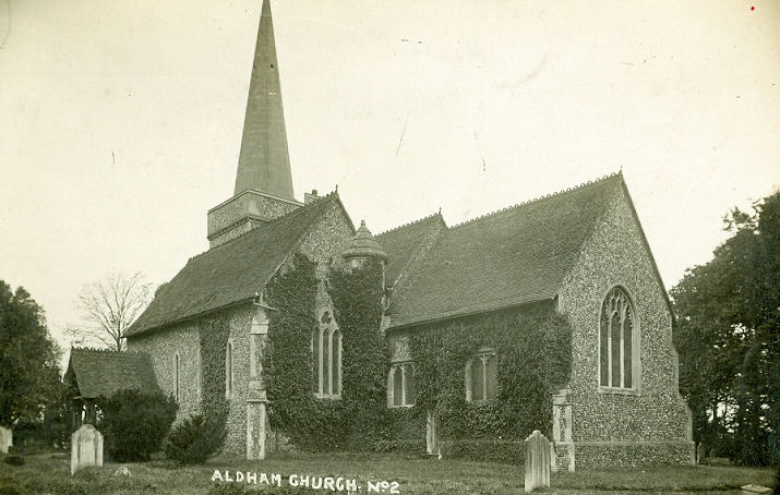
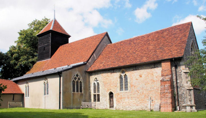
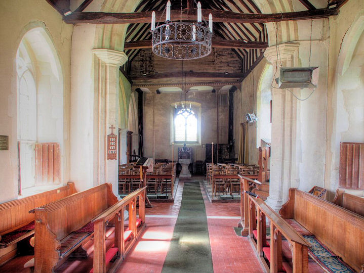
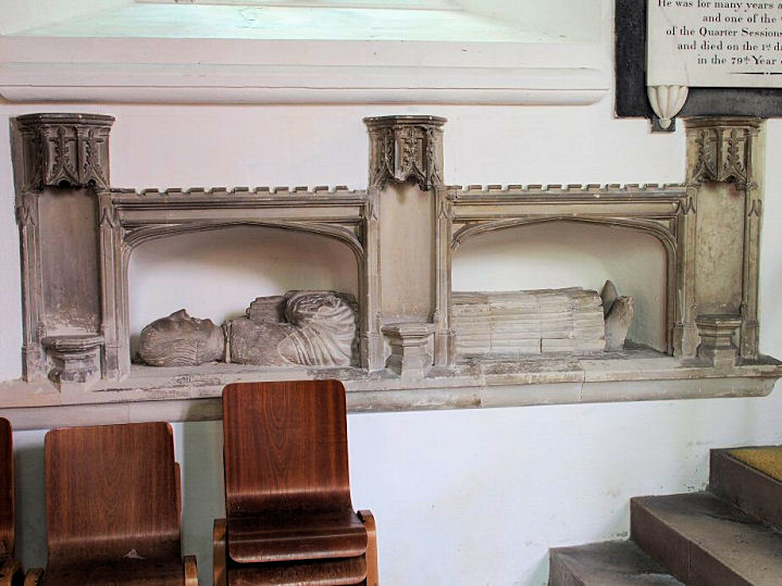
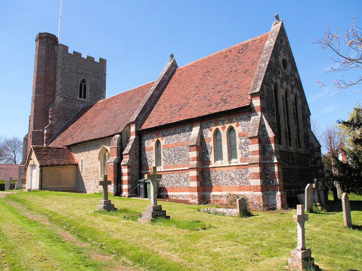
Aldham, St. Margaret and St. Catherine.
TL 9176 2585. From an old postcard in Reg Dosell's Collection. A
2009 Streetview.
Link.
Grade II* listed, wherein it's dated to 1854. O.S. maps mark, at
Churchouse Farm, to the S.W. of the village,
Church (Site of). The
grade II listing for the farmhouse itself says that the vanished
church was also dedicated to St. Margaret and St. Catherine. This
source says
that much of the material from the old church was re-used in the
building of the new church. It stood in the field seen by
Streetview in
2019. TL 9067 2537.
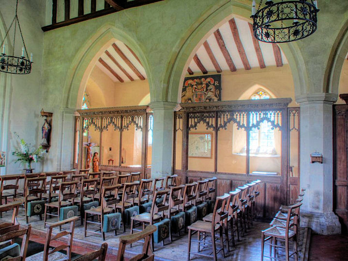
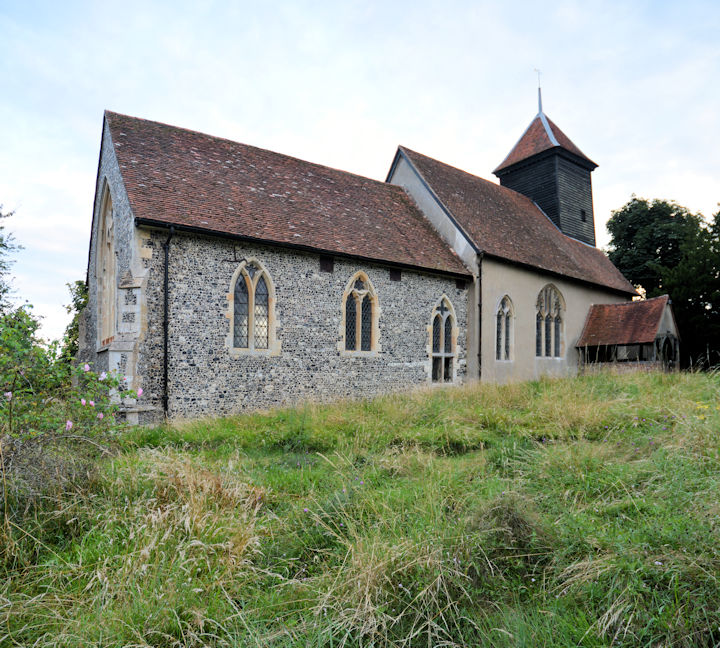
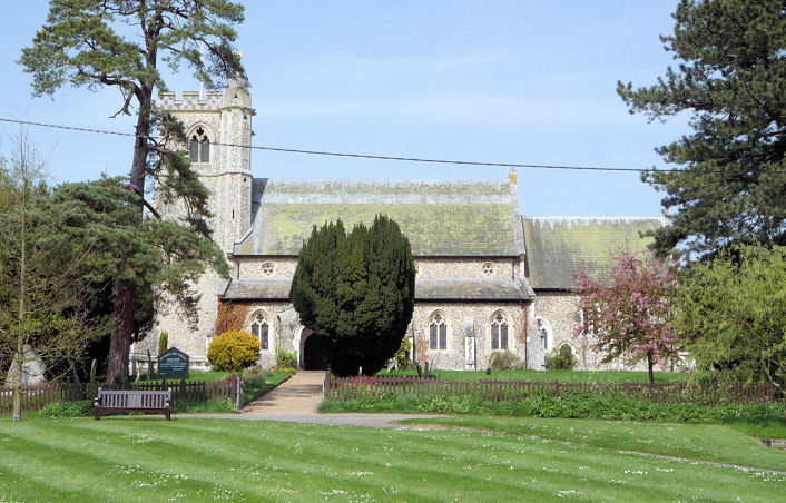
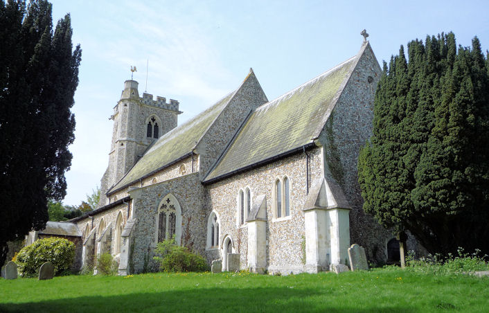
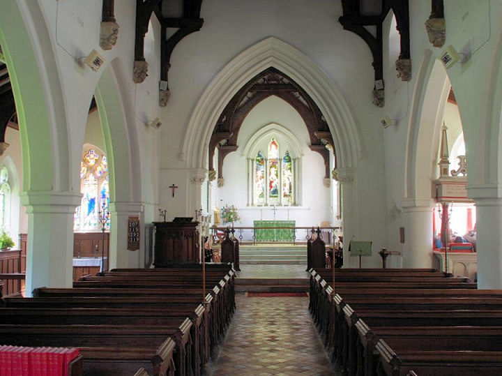
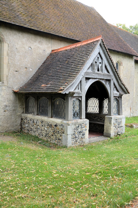
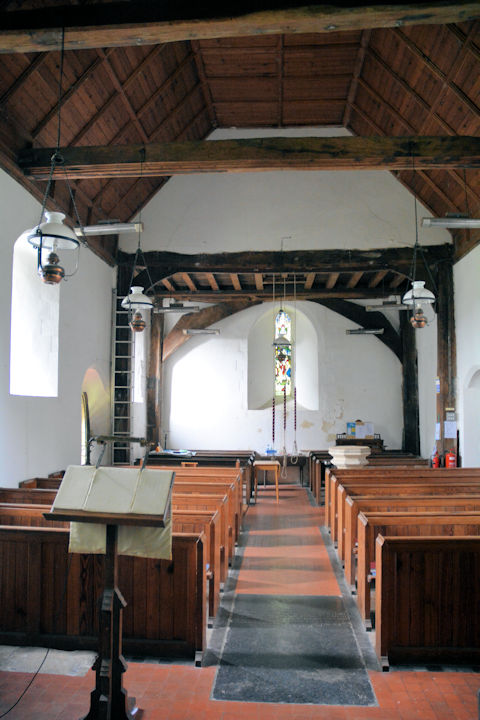
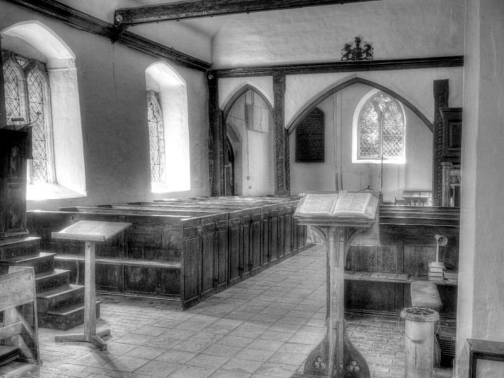
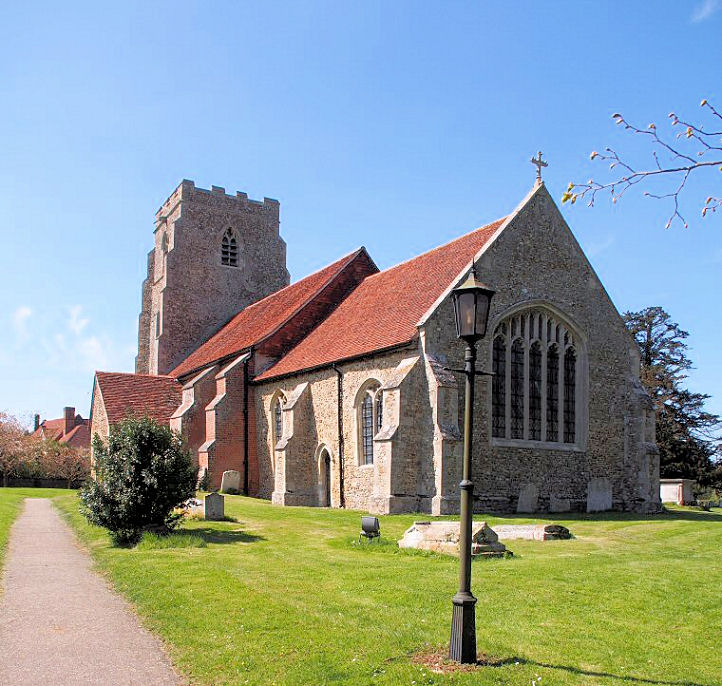
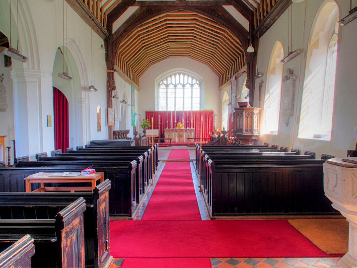
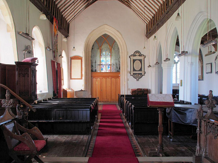
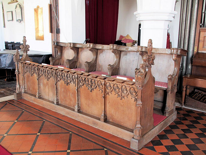
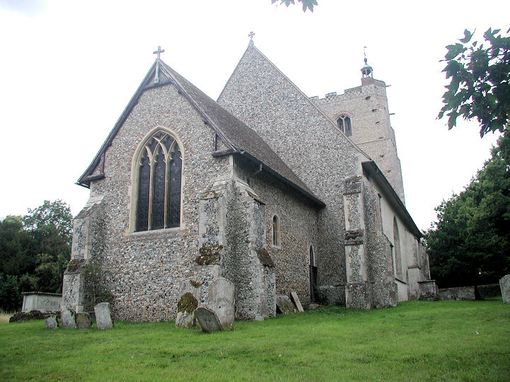
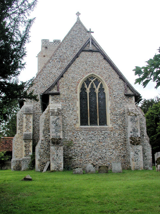
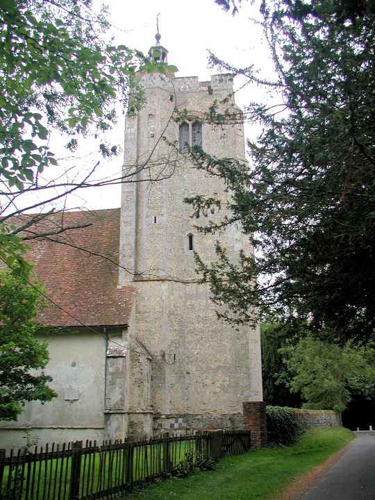
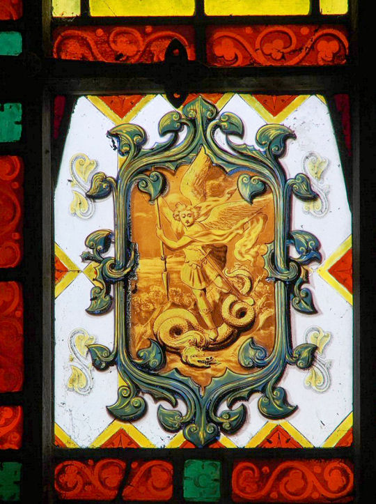
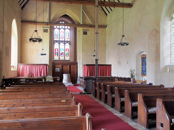
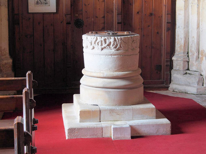
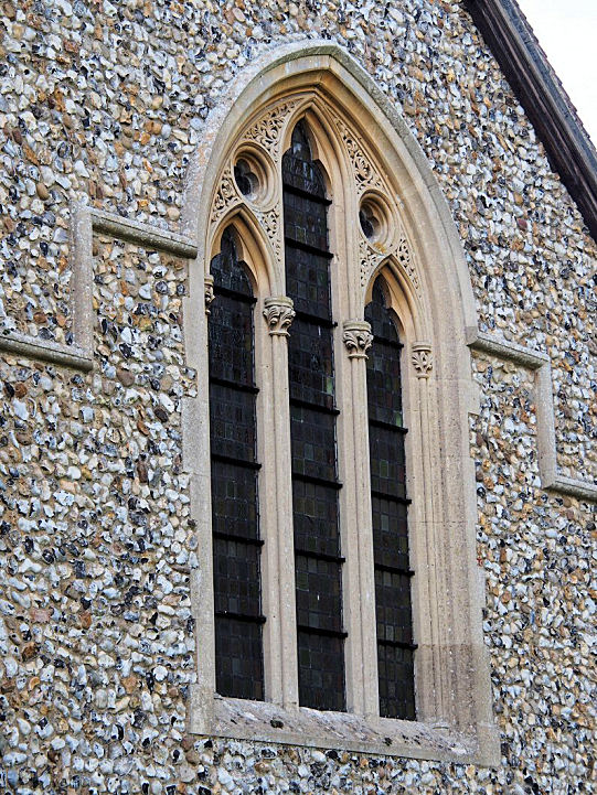
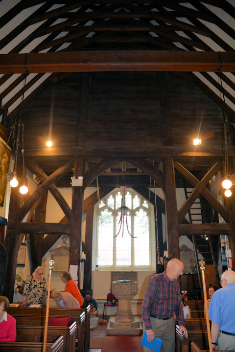
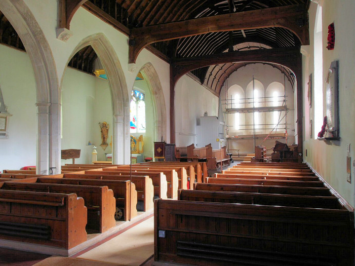
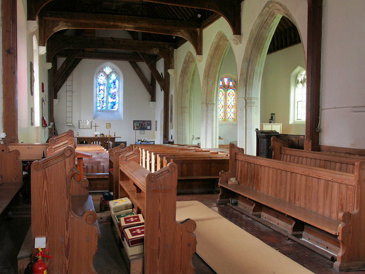
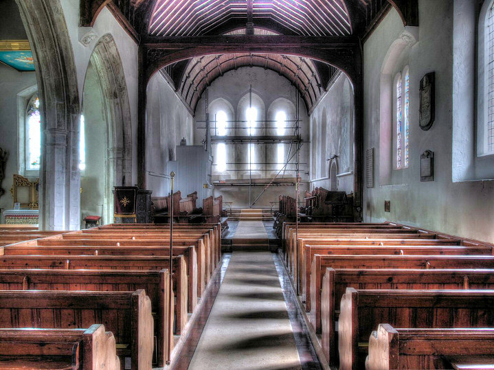
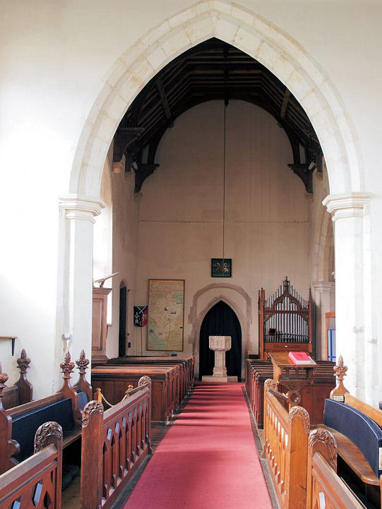
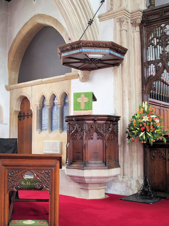
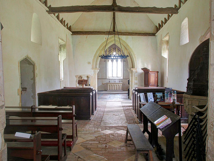
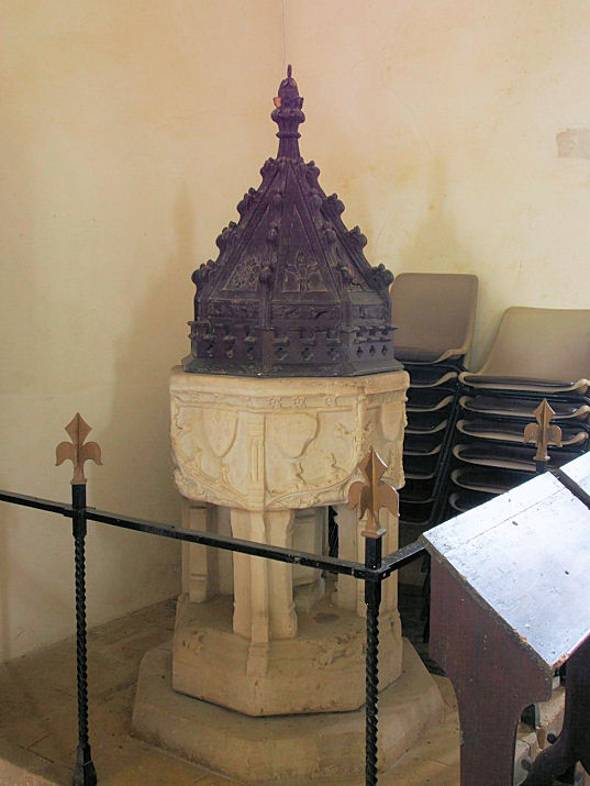
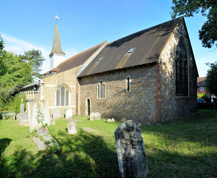
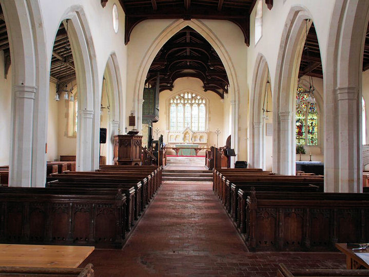
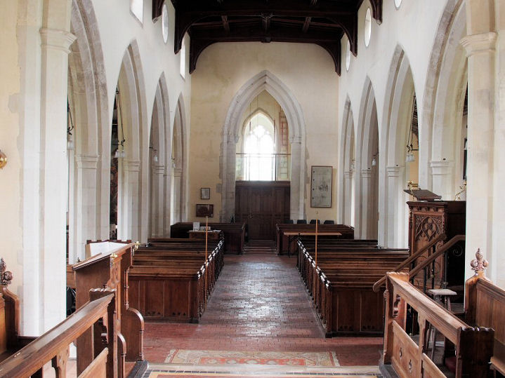
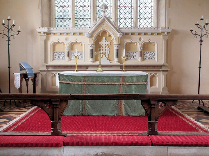
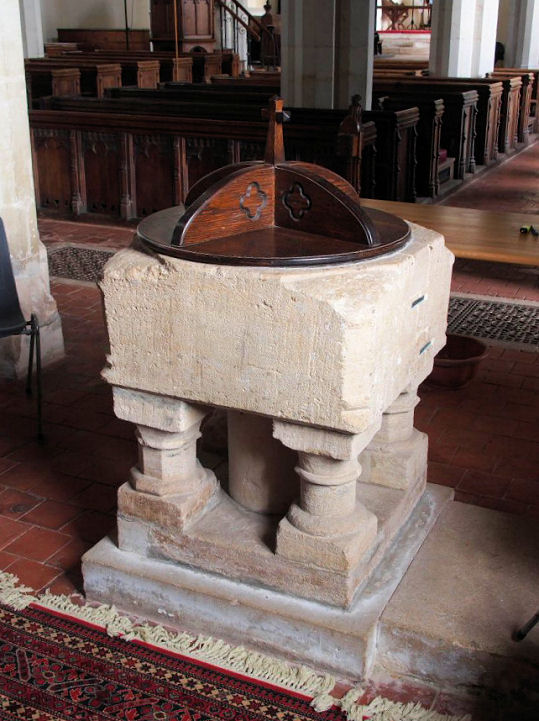
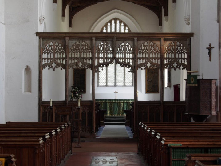
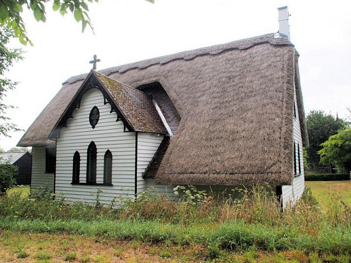
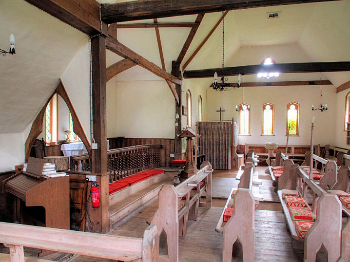
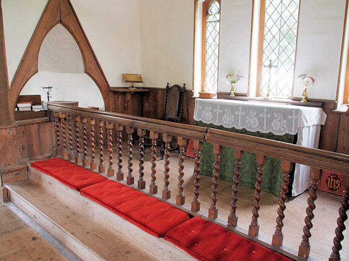
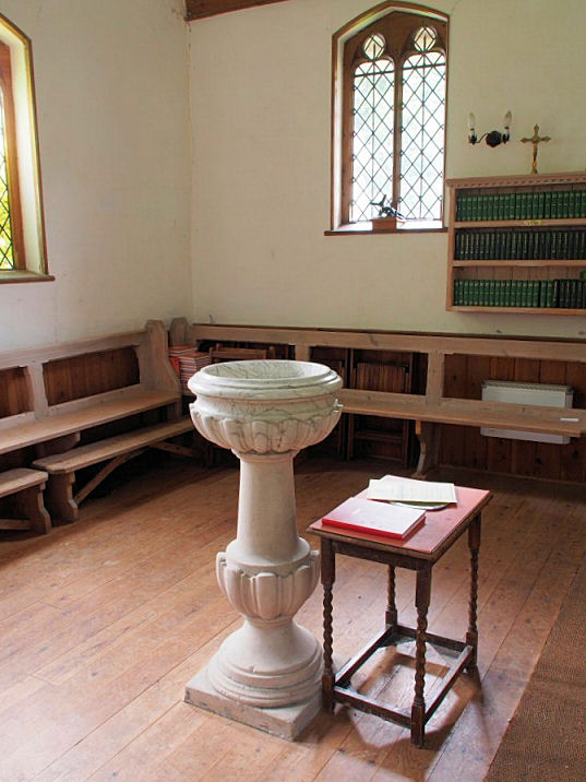
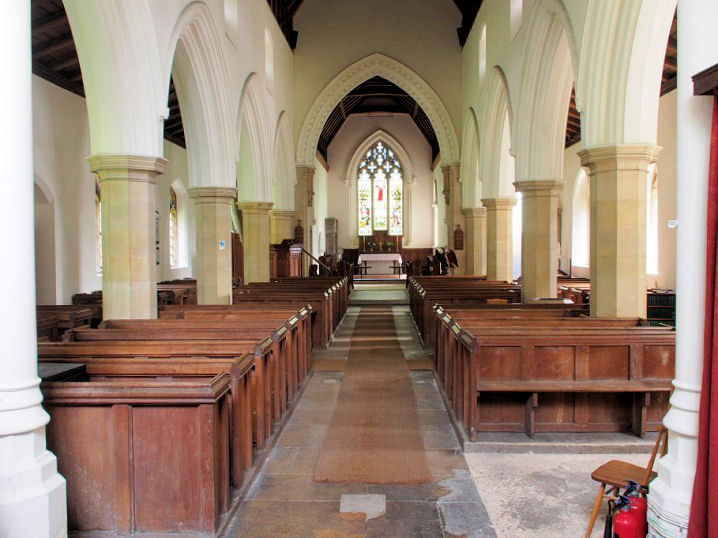
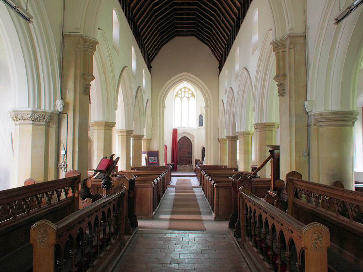
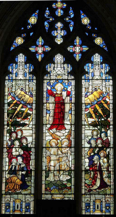
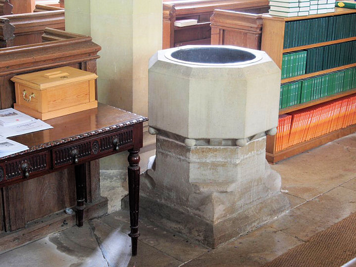
Alphamstone, St. Barnabas. Three interiors - 1,
2, 3, a
window, and the font.
TL 8787 3546. All © Chris Stafford (2013).
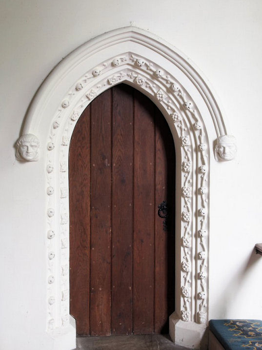
Another view, and the
porch, both ©
Karel Kuča (2024).
Link.
Grade I listed.
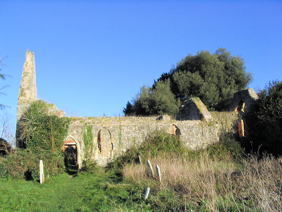
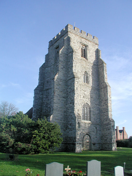
Alresford,
the ruins of St. Peter, which was burnt down in a fire in 1971, stand to the
S.W. of the village. The churchyard is still in
use. TM 0649 2067. © Les Needham.
Grade II listed. The church was replaced by St. Andrew and St. Peter
on St. Andrew's Close. TM 0681 2122. © Les Needham.
Link.
Arkesden, St. Mary the Virgin.
Older maps label it as St. Margaret.
Another view. TL 4822 3460. Both © Barry
Mace. A window,
interior view, a selection
of the many fine monuments - 1,
2,
3, and the
font, all
© Chris Stafford (2013).
Link.
Grade II* listed. A former
Wesleyan Methodist Chapel stands a little
way west of the village, at Hampits, at TL 4783 3465. Converted into a
house, it can be seen on a
Streeview from 2019.
Ashen, St. Augustine of Canterbury.
TL 7473 4231. © Chris Stafford (2013).
Facebook.
Grade I listed.
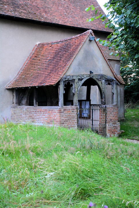
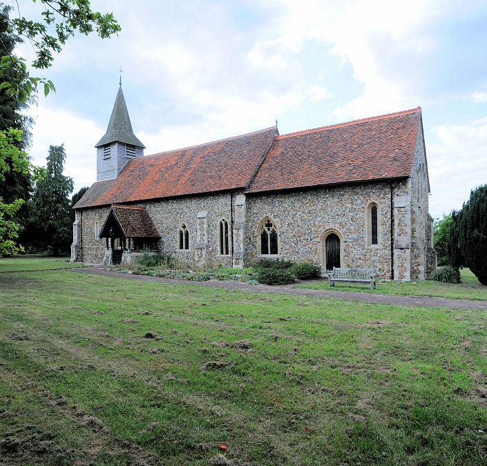
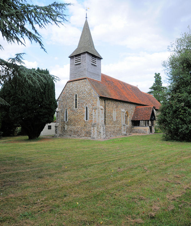
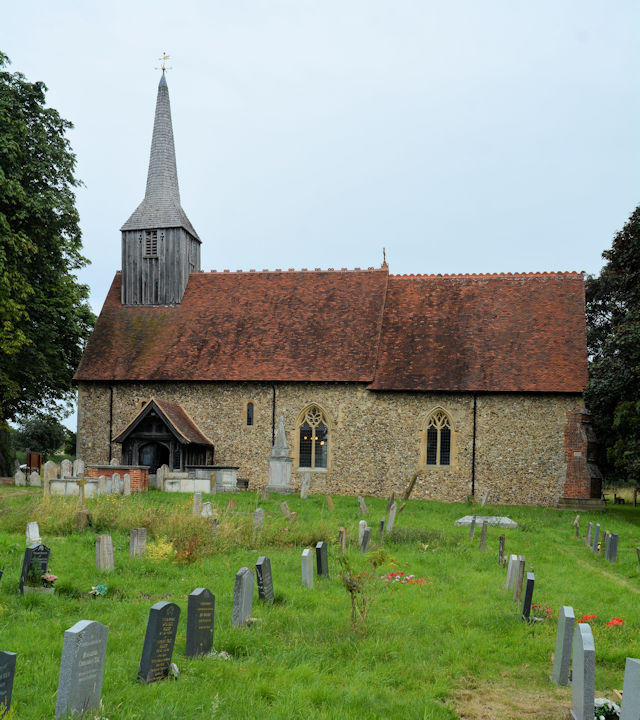
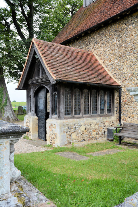
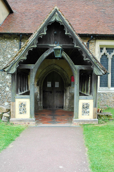
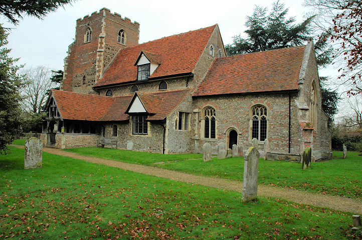
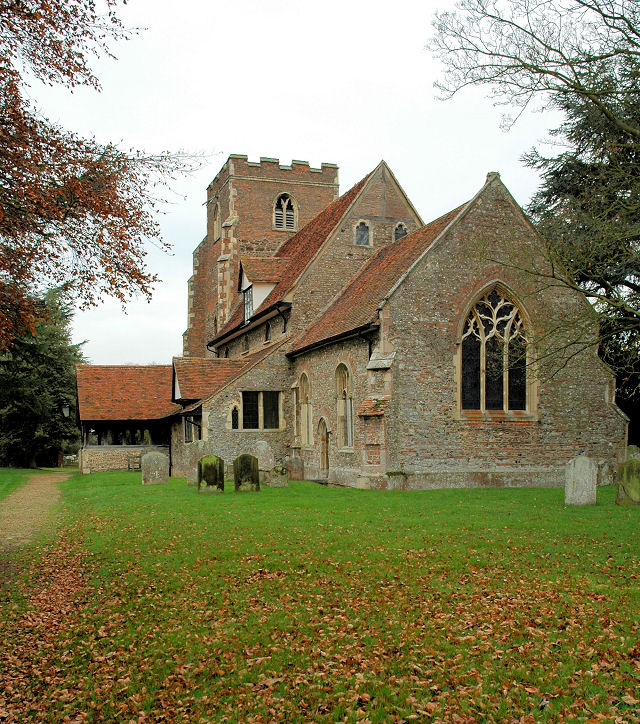
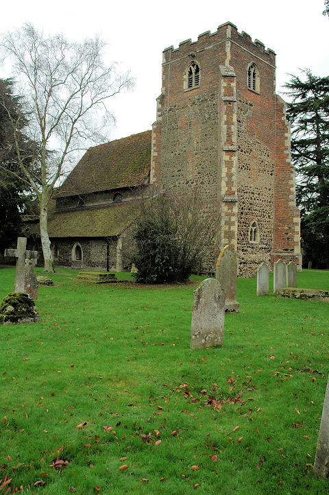
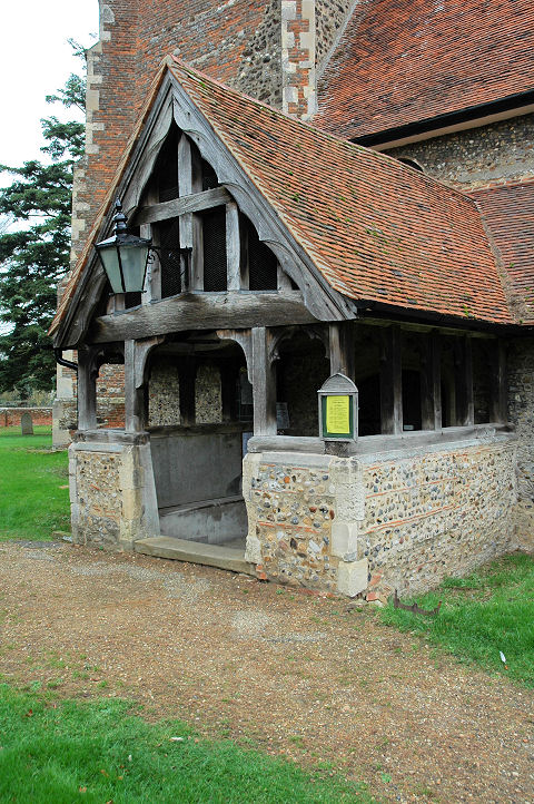
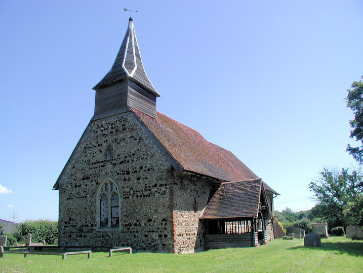
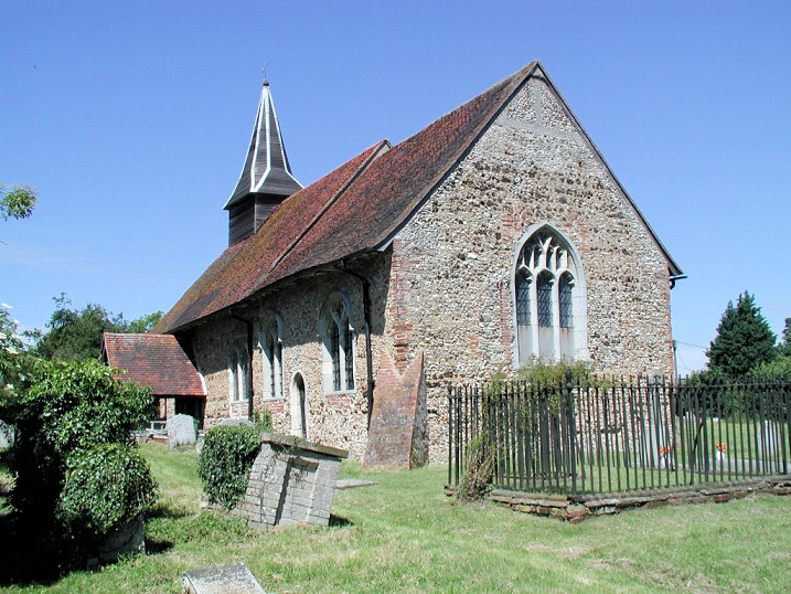
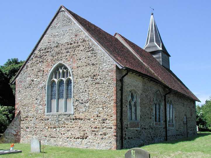
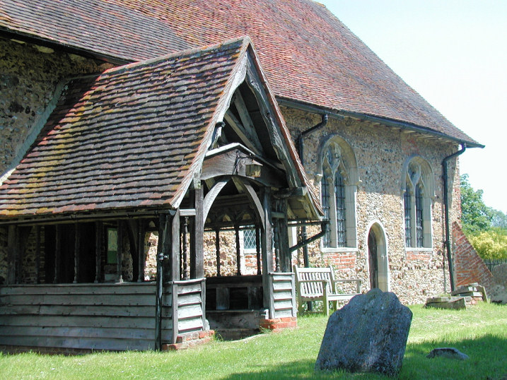
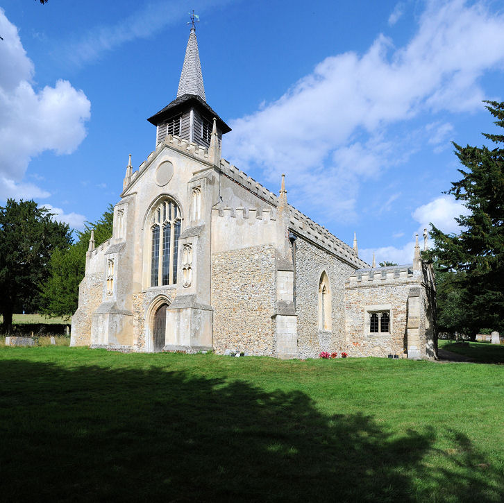
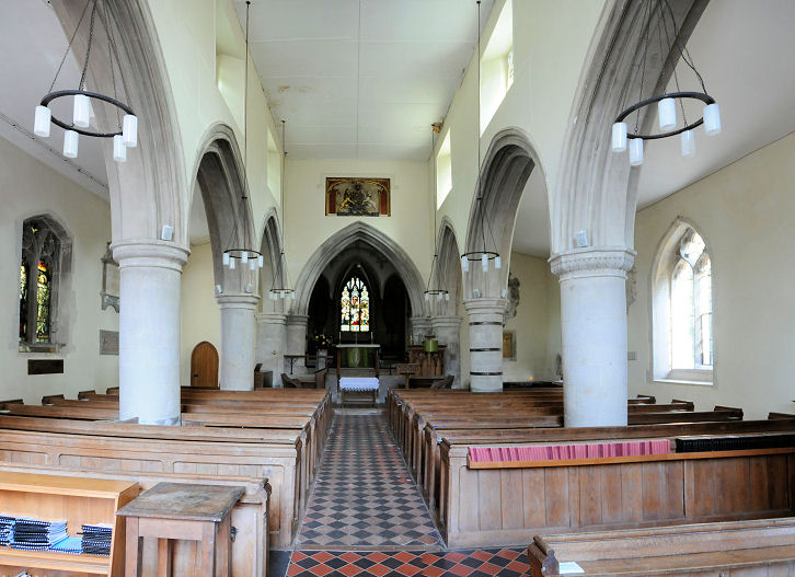
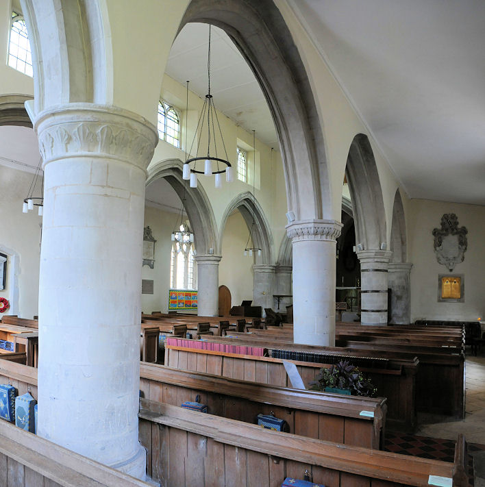
Aythorpe Roding, St. Mary
the Virgin. Another view, the
lych-gate,
porch, and the
interior. TL 5843 1535. All ©
Karel Kuča (2024).
Link.
Grade II* listed.
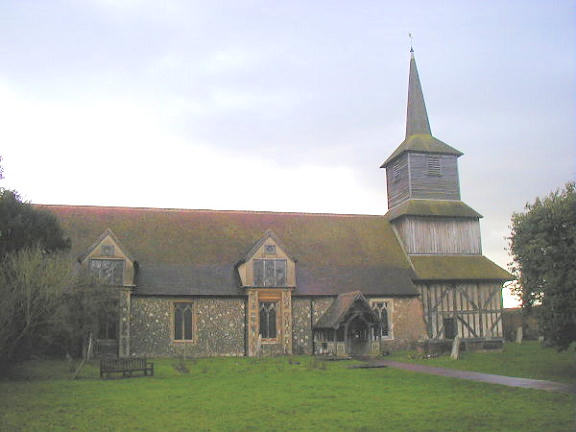
Barling Magna, All Saints. TQ 9320 8971.
© Julieanne Savage.
Link.
Grade II* listed. See
here for related listed features.
Basildon.
Belchamp Otten, St.
Ethelbert and All Saints. Three additional views -
1,
2,
3. TL 8033 4176. All © Roger Heap (2015).
The porch doorway, two interior
views - 1,
2, the
altar, and the
font,
all © Chris Stafford (2013).
Link.
Grade I listed.
A churchyard tomb is also listed, as
grade II. An Independent Chapel (later Congregational) is
labelled on old O.S. maps at TL 8009 4168. It pre-dates the earliest map
available to me (surveyed in 1876), and seems to have been closed before 1957. The site of
the chapel and adjoining burial ground, which has been redeveloped for housing,
can be seen in this 2009
Streetview. I've been unable to find a photo or any other substantial
information about this chapel. An 1831 directory, quoted
here,
mentions Albright's Chapel, "long since
demolished", but I haven't been able to locate its site.
Belchamp St. Paul, St. Andrew,
which stands about a mile N.N.E. of the village, at TL 7983 4346. Three interior
views - 1,
2,
3, the
altar, one of the many fine
bench-ends, and the
font. All
© Chris Stafford (2013).
Link.
Grade I listed. For related listed features see
here.
Belchamp Walter, St. Mary the Virgin. Three additional views -
1,
2,
3. TL 8273 4069. All © Roger Heap
(2015). The church has some good
wall paintings; the interior,
a window detail, and the
font, all
© Chris Stafford (2013).
Link.
Grade I listed.
For related listed features see
here.
Berden, St. Nicholas.
Another view, a
fine window, two interior views -
1,
2, and the
font. TL 4677 2963. All © Chris
Stafford (2013). Link.
Grade I listed. The 6" O.S. map of 1881
marks a Wesleyan Methodist Chapel on Ginns Road at TL 4694 2985.
The latest map to show it which I can
find is dated 1960. A map of 1978 shows a Hall on the same site,
and it can be seen here on a
Streetview of 2009. It seems to have roughly the same footprint, so perhaps all
or part of the chapel survives, in what is now the village hall.
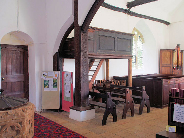
Birdbrook, St. Augustine.
Another view. TL 7067 4115. Both Karel
Kuča (2019). More photos are available
here and
here.
Grade II* listed.
Black Notley, St. Peter and St.
Paul, the porch and the
interior. TL 7615 2072. All © Karel Kuča (2024).
Link.
Grade II* listed. A churchyard monument and a tomb are also listed
here. A map of 1897 shows a Mission Room at TL
7698 2039. Today it's
Cornerstone Church (2024 Streetview).
Link.
Blackmore, the Priory Church of St.
Lawrence. TL 6031 0161. © Alan Wilson. Two
more views - 1,
2, the
porch, and two views of the
interior - 1,
2, all © Karel Kuča (2007).
Link.
Grade I listed. See
here for related listed features. The Baptist
Church, on The Green, as seen by Streetview in 2021. Although it looks
fairly recent, an
old postcard from circa 1908 shows it looking essentially the same.
This
source dates it (or a predecessor on the same site) to 1841. TL 6049 0185.
Link.
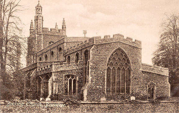
Bocking, St. Mary the Virgin at
Bocking Churchstreet. TL 7568 2568. From an old postcard in Geoff Watt's
Collection. As can be seen from the church website,
the tower finials have been reduced or removed since this postcard was
published.
Grade I listed. The churchyard wall is also listed, as
grade II*. Bocking
U.R.C. on Church Street, as seen by Streetview in 2024. It's dated 1862, as
Congregational. TL 7617 2605.
Link. The cemetery on Church Lane, just south of the
village, has a Mortuary Chapel. It survives, but it
can't be seen on Streetview - a photo is available
here. A large scale map of 1897 shows that it's a double mortuary chapel,
with separate chapels for CoE and Nonconformists. TL 7582 2526. A map
revised in 1919 shows R.C. Church and
adjacent Convent on Broad Road at TL 7630 2435. It survives (2024
Streetview) and its
Wikipedia article calls it Chapel of the Immaculate Conception,
Franciscan Convent, and dates it to 1898-9.
Grade II listed. The convent is also listed, also at
grade II.
Borley, dedication unknown. TL 8474
4306. © Mark Turbott. Another view, and the
tower and porch, both © Chris Stafford (2013).
Link.
Grade I listed.
Bowers Gifford,
St. Margaret of Antioch, a little way south of the
village. TQ 7559 8725. © Mark Summers. Two additional views
1, 2, both © William Metcalfe.
The porch, ©
Karel Kuča (2024). This church has also appeared in the "Unknown" section, original entry as
follows - "John James has an old family photo, and the people in
the photo all lived in Monmouthshire, in the Abertillery/Llanhilleth area. My appreciation to Greg Mishevski and Brian Curtis for the identification, and for not being
misled by the Welsh clue! Link.
Grade II* listed.
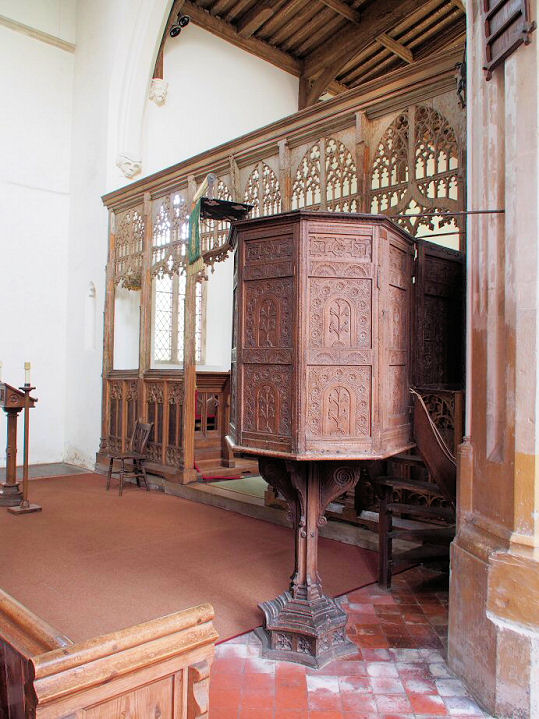
Boxted, St. Peter. Two more views -
1, 2,
the porch,
interior,
altar, the stone
pulpit and the
font. TL 9983 3323. All © Karel Kuča
(2007). Link.
Grade I listed. About a mile to the S.S.E. of the village on Chapel Road
stands a former
Wesleyan Methodist Chapel (2022 Streetview). It pre-dates a map of
1880, and was still active at least into the 1950's - this
source provides dates of 1831-2019. TM 0034 3140.
Bradwell-juxta-Coggeshall, Holy Trinity,
at Bradwell Hall, S.E. of the village. Two further views - 1,
2, and the wooden porch.
TL 8178 2215. All © Roger Heap (2012).
Link.
Grade I listed.
In the village proper is a former 20th century
Congregational Chapel,
seen by Streetview in 2009, when it looks as if conversion works were just
underway. The National Archives reference documents pertaining to this church
for the years 1922-1996. TL 8056 2296.
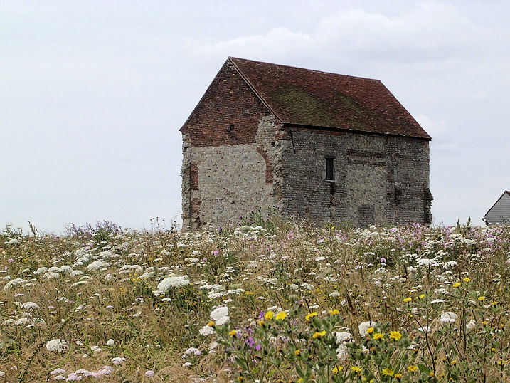
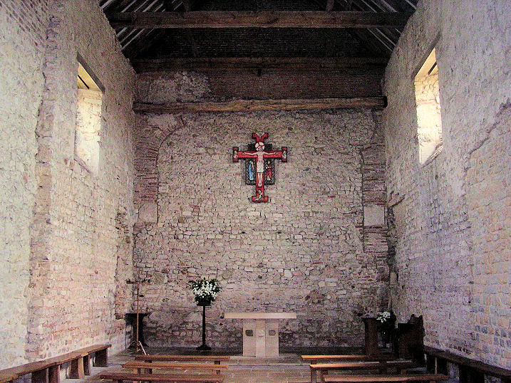
Bradwell-on-Sea,
St. Peter-on-the-Wall. This is a remarkable survival
(the nave of a once-larger church), dating from the 7th century, and is in
regular use. Interior view. TM 0309
0816. Both © Iris Maeers.
Link1.
Link2. Grade I listed.
St Thomas the Apostle. TM 0042 0684. © Tim Flitcroft (2014).
Link.
Grade II* listed.
For related listed features see
here. A Primitive Methodist Chapel used to
stand on the south side of Waterside Road in the hamlet of Bradwell
Quay, now Bradwell Waterside. It had been built no later than 1881. The
house on its site was seen by
Streetview in
2024. If the Chapel is the one mentioned
here then it had closed before 1940. Certainly, mid-20th century
maps no longer indicate a place of worship here. TL 9960 0784.
Brentwood.
Broxted, St. Mary the Virgin. Three interior views - 1,
2, 3, a side chapel, the
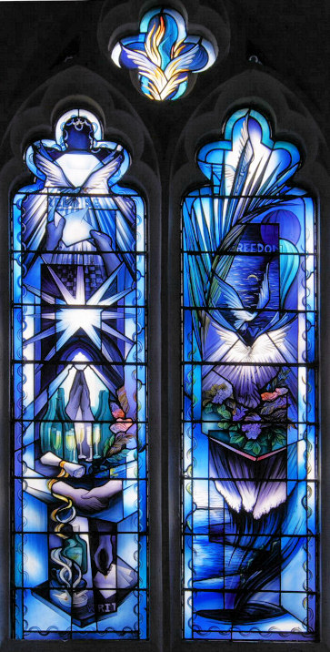
fine flat-carved pulpit, and a modern font. Two windows commemorate the
travails of the hostage John McCarthy - a mostly grey one "Hostage", and a mostly blue one "Freedom".
TL 5784 2738. All © Chris Stafford (2012). Two additional views -
1, 2,
and another
interior, all © Karel Kuča (2019).
Link.
Grade II* listed. Nearly 2 miles to the S.S.W., at the hamlet of Chapel End
is the former
Ebenezer Chapel
(2023 Streetview). It shows on a map of 1881, where it's labelled as
Congregational, and the building has a worn date-stone, perhaps for 1852
or 1862. It went out of use in the middle of the last century. TL 5647
2491.
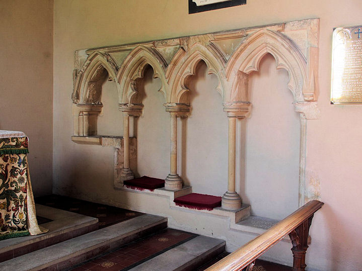
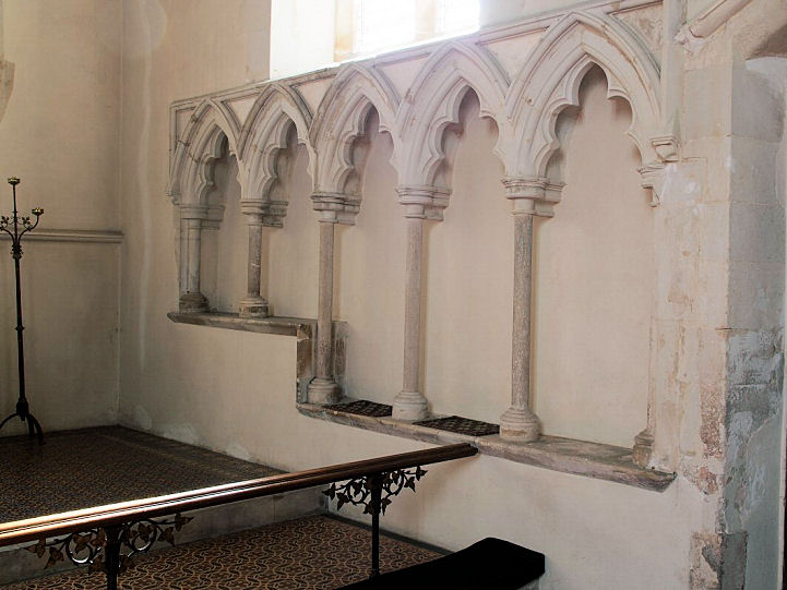
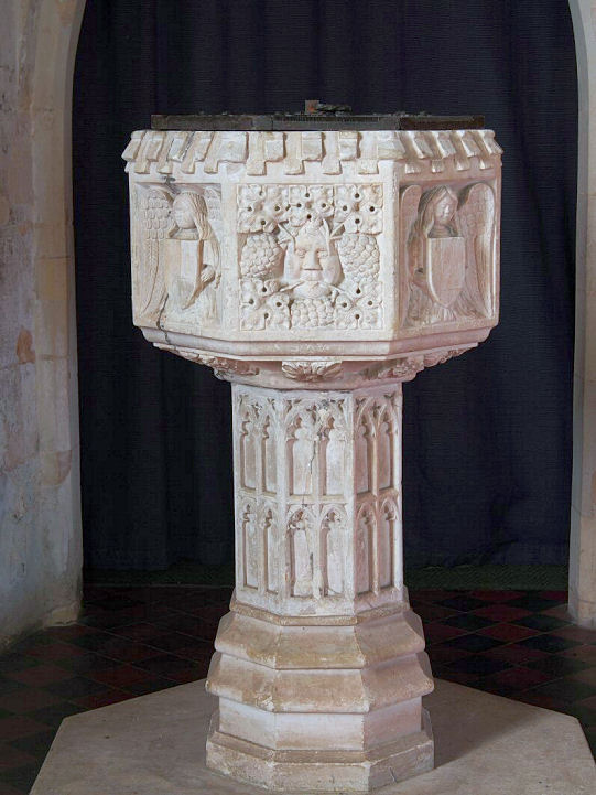
Bulmer, St. Andrew. The porch, two of the
interior - 1,
2,
sedilia, and the splendid
font (dated to ca. 1500 in the
appended listing). TL 8434 4011. All © Chris
Stafford (2013). An old image of
this church (from Brian Curtis's collection) had languished for a long time in
the "Unknown" section, and finally solved by Greg Mishevski, who also offered
some confirmatory views -
1, 2.
Number 1 is most useful - see in particular the door and two windows to its
left. Link.
Grade I listed. The churchyard war memorial is also listed, as
grade II. Older O.S. maps mark an
Independent/Congregational Chapel on The Street, at TL 8418
4025. Seen by Streetview in
2018, it's dated here
(quoting from an old directory) to 1873 - this link wasn't working when tested
in 2025.
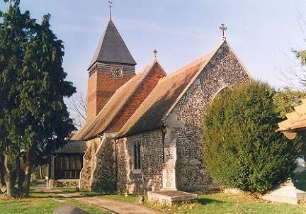
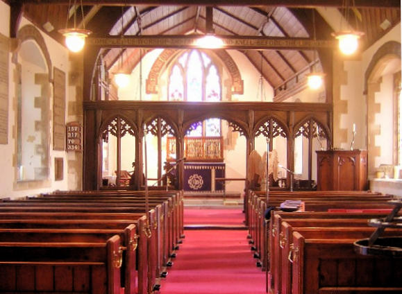
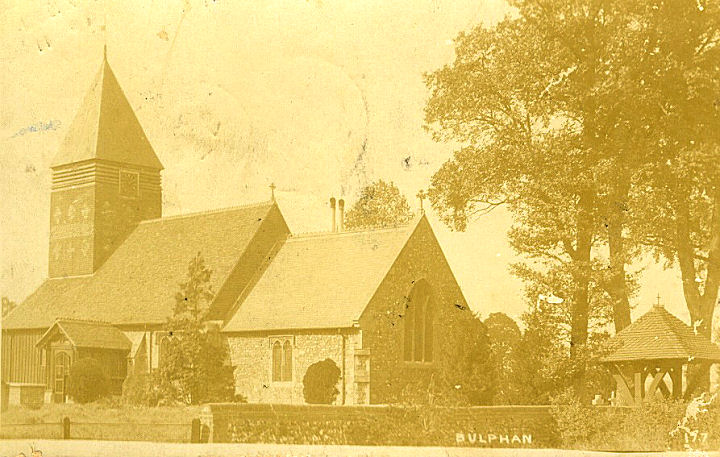
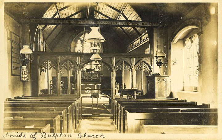
Bulphan, St. Mary the Virgin.
Interior view. TQ 6368 8583. Both © Dave Westrap. Two old postcard views,
exterior (franked 1907) and interior (of approximately the same date), both from Dave Westrap's Collection.
Four more views - 1,
2, 3,
4, and the
porch, all © Karel Kuča (2024).
Link.
Grade I listed. The war memorial in the churchyard is also listed, as
grade II.
Zion Hall Mission (Gospel Hall) on
Church Road. TQ 6388
8586. © Dave Westrap.
Link.
Burnham-on-Crouch, St. Mary the Virgin.
TQ 9487 9703. © Bill
McKenzie. Jan Bradley had sent me some scans of old stereoviews.
This one was identified by Phil Draper.
Phil was able to date one of the others as being of pre-1873 vintage, so this
one is probably of a similar date.
Link.
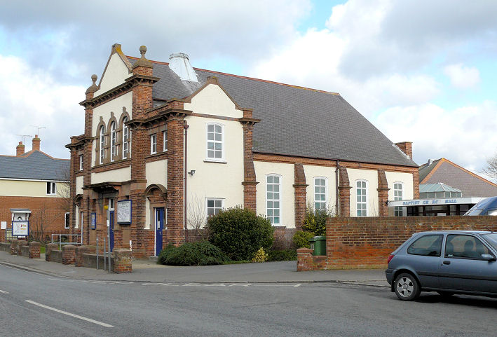
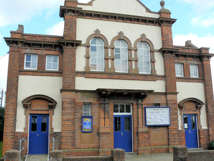
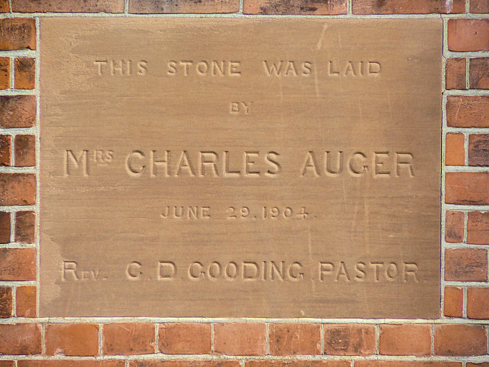
Grade II* listed. Burnham Baptist Church
(1904) on High Street. TQ 9500 9570.
Another view, and the foundation
stone. All © Steve Taylor. Link.
Its likely predecessor shows on a map of 1880 on Belvedere Road, at TQ
9545 9557. The bungalow on its site was seen by
Streetview in
2024. Chapel Studio
(2024 Streetview) on Albert Road is a former
Primitive Methodist Chapel. It's dated
here to 1862-1984. TQ 9509 9595.
Genuki,
quoting from an 1831 directory, states that there was also a Wesleyan
Methodist Chapel here. Still there in 1868, I haven't been able to
locate it. St. Cuthbert (R.C.) is at the
junction of Western Road and Chapel Road, and was seen by
Streetview in
2024. TQ 9515 9588.
Link. An Apostolic Chapel is shown on a
map of 1897, on Providence Road at TQ 9523 9570. It seems to have gone
out of religious use in the middle of the last century. It survives,
presumably in secular use, and was seen by
Streetview in
2024. The cemetery at the northern end of the town on Southminster Road
has a Mortuary
Chapel (2024 Streetview). TQ 9482 9775.
U.R.C. (2024
Streetview) on Station Road. TQ 9491 9617.
Link dates it to 1950,
successor to a Congregational Church of
1862 to 1946, when it was burned down. This stood on High Street, at its
junction with Chapel Road, at TQ 9509 9560.
2024 Streetview
of the site.
Buttsbury (near Ingatestone), St. Mary. Another view,
and the interior. TQ 6638 9862. All © William Metcalfe. Link.
Grade II* listed.
Cambridge Town - see the
Southend page.
Canewdon,
St. Nicholas. Two additional views - 1,
2. TQ 8968 9454. All © Roger Heap (2015).
Link.
Grade II* listed. For related listed features see
here. A map of 1880 shows a Congregational Chapel
about ½ a mile to the east, on Lambourne Hall Road at TQ 9034 9454. Old maps
show it to have been still active in the 1920's, and closed and demolished by
1947. It stood in what is now the area of scrub seen in a
Streetview of 2024. Its
(presumed) successor is on High Street and Canute Close. It was seen by
Streetview in 2009. TQ
9001 9457.
Canvey
Island.
Castle Hedingham, St. Nicholas.
The 6" O.S. map of 1897 says St. Nicholas's Church (Vicarage) on Site of St.
James's Church. A Norman door,
two interior views - 1,
2, the
hammer-beam roof, the very
fine piscina and sedilia
(with much C19/20 restoration, says the
grade I listing),
stoup,
pulpit and the
font. TL 7846 3560. All
© Chris Stafford (2013).
Link.
The War Memorial in the churchyard is
separately listed as
grade II. Old maps show a Congregational Chapel
on Queen Street, at TL 7840 3539. It was seen by
Streetview in 2009. The sign
had gone by 2016, so had presumably closed by then.
Grade II* listed. There was at one time a
Priory (Benedictine Nunnery) to the west of the
village at TL 77790 35560 - grid ref. from this
source, which says that only a small fragment of masonry survives. If the
grid ref. is accurate, the fragment should be somewhere along the left-most
hedge-line - seen by Streetview
in 2021. Large scale O.S. maps also show St. James's
Chapel (Supposed site of) at TL 7875 3553. I haven't been able to
discover anything further.
Chelmsford.
Chickney, St. Mary the Virgin, now in
the care of the Churches Conservation Trust. Its
grade I listing says it is late Saxon.
Another view, the interior, and
the font. TL 5743 2805. All
© Chris Stafford (2012).
Link.
Chipping Ongar,
St. Martin. Another view. TL 5532
0296. Both © Bill
McKenzie. Another view, ©
Karel Kuča (2024).
Link.
Grade I listed. For related listed features see
here. Large scale O.S. maps show a double Mortuary
Chapel in the cemetery on High Street, at TL 5525 0348. In a
Streetview from 2021,
the left (northernmost) chapel is/was CoE, the right Nonconformist.
St. Helen (R.C.) is off High Street. It stands
behind the building seen by
Streetview in 2024. A
photo can be seen on
Geograph. TL 5518 0285. Link.
It's dated on the
history page to 1869.
U.R.C. on Stanley Place, as seen by Streetview in 2024. The original
Independent/Congregational Chapel, at left, is dated in its
grade II listing to circa 1833. TL 5524 0278.
Link.
Chrishall, Holy Trinity, south-east
of the village. TL 4513 3863. © Marion Hall. Two
more views - 1,
2, three of the interior -
1,
2,
3, and the
font, all
© Chris Stafford (2013).
Link.
Grade I listed. The former
Primitive Methodist Chapel
at Crawley End (TL4457 3984), as seen by Streetview in 2019. This
source dates it to 1862, with closure by 2013/14.
Churchend (on Foulness Island), St.
Mary the Virgin. Its
Wikipedia entry says it was closed in 2010. Much of the island is under the Ministry of Defence, so access is
limited. TR 0040 9320. © Julieanne Savage.
Grade II listed - dates it to circa 1853. See
here for related listed features.
Clacton-on-Sea.
Clavering, St. Mary and St. Clement. TL
4708 3181. © Marion Hall. Another view,
the porch,
chancel, a
minstrel, several
memorials, the
pulpit, and the
font, all
© Chris Stafford (2013).
Link.
Grade I listed. Clavering
Christian Centre on Stortford Road, as seen by Streetview in 2009. Older
O.S. maps label it as Congregational. Although not itself listed, the war
memorial in the grounds is, as
grade II. TL 4733 3174. The former Methodist Chapel,
originally Primitive Methodist, at Hill Green. It's dated
here to 1877-8, where it also says that there was a preceding chapel of 1844
- though whether it was on the same site isn't clear. It was seen (distantly) by
Streetview in 2021. TL 4815
3234.
Coggeshall.
Colchester.
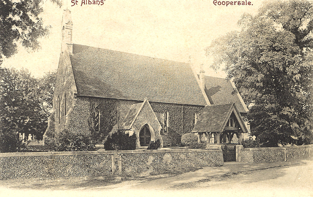
Coopersale, St. Alban the Martyr.
TL 4755 0253. From an old
postcard in Steve Bulman's Collection.
Link.
Grade II listed. Its nearby former Sunday School (now parish rooms,
2020 Streetview) is also
listed, as
grade II, and dated to 1882.
Cornish Hall End, St. John the Evangelist (1841, C).
TL 6835 3649. © Chris Stafford (2013).
Link.
Corringham - see the
Stanford-le-Hope page.
Creeksea, All Saints.
Another view and the
porch. TQ 9305 9689. All © Karel Kuča (2024).
Link.
Grade II listed.
Debden, St. Mary
the Virgin and All Saints. Another view,
and two of the interior - 1,
2. TL 5510 3322. All © Karel Kuča
(2019). Link.
Grade I listed. Debden
Pentecostal Church on Thaxted Road, as seen by Streetview in 2014. TL 5597
3311. Link.
The
history page
dates it to 1996, replacing an earlier structure on the same site, of 1950.
There's a photo on the history page. Old O.S. maps show a
Congregational Chapel on High Street, at TL 5573 3340. It pre-dates a map
of 1897, and survives, converted. It was seen by
Streetview in 2023. It
has a date-stone, perhaps for 1859.
Dedham, St. Mary
the Virgin. TM 0572 3313. © Steve Bulman. Another view of St. Mary, © Judith
Anderson. Interior view, © John Balaam
(2008). Link.
Grade I listed. The
former U.R.C. on Brook Street, now a
craft centre (thanks to Les Needham for advising the former denomination). A map
of 1880 shows it as Independent. TM 0587 3316. ©
Steve Bulman.
Doddinghurst, All
Saints. Two more views - 1,
2, and the
porch. TQ 5892 9900. All © Karel Kuča (2024).
Link.
Grade I listed. St.
Margaret of Scotland (R.C.) on Doddinghurst Road, as seen by Streetview in
2024. TQ 5922 9888.
Link.
Duddenhoe End, The Hamlet
Church. It
was originally a tithe barn, but consecrated in 1859. Another unusual
feature (which obviously wasn't an issue when it was built) is its
orientation, running roughly N-S rather than the traditional E-W. TL
4615 3722. Another view,
two of the interior - 1,
2, and the
font. All
© Chris Stafford
(2013).
Link.
East Horndon, All
Saints, is now in the care of the Churches Conservation Trust, but still holds
occasional services. The graveyard is still in use.
A 2008 Streetview provides
another viewpoint (later views are even more hampered by vegetation). TQ 6355
8952. Photo © Brian Thompson. Additional
information kindly supplied by Linda Golding.
News item
regarding disgraceful events here in 2020.
The
grade II* listing has more photos, and see
here for related listed features.
Eastwood - see the
Southend page.
Elmdon, St. Nicholas. Two more views -
1, 2,
two of the interior - 1,
2, the
East window, a
door with decorative surround, and the
font. TL 4619 3966. All ©
Chris Stafford (2013).
Link.
Grade II* listed. A little over half a mile to the SSW stands
St. Dunstan, at Lofts Hall. Not visible to
Streetview, its
grade II listing describes it as a shell. A photo of it can be seen
here, where
its closure is given as 1928. TL 4638 3873.
Elsenham, St. Mary the Virgin.
Another view, the
porch and its
Norman doorway, the
interior,
pulpit, the lovely
piscina, and the modern
font. TL 5422 2591. All ©
Chris Stafford (2013).
Link.
Grade I listed. Older large scale O.S. maps mark a
Mission Room on High Street, opposite Park Road at TL 5364 2631. Its
site was seen by Streetview
in 2022. A history can be found
here, where it's dated to 1880-1950's, as Quaker. It was subsequently in use
as a club, and was demolished in 1986. Built by 1923, O.S. maps show a
Mortuary Chapel in the cemetery by the railway line
at TL 5356 2644. Aerial views suggest it survives, but Streetview hasn't seen
it, and I haven't been able to find a photo.
Epping, St. John the Baptist (interior).
From an old postcard in Steve Bulman's Collection.
Streetviews provide modern exterior views, in
2024 and
2021. TL 0210.
Link.
Grade II* listed. Life Church Epping (Elim
Pentecostal) meets in Epping Hall on St.
John's Road, and was seen by
Streetview in 2021. TL 4581 0218. The
Quaker Meeting House
(2022 Streetview) is on Hemnall Street, at TL 4626 0232. They have evidently
been here for many decades, as they are shown on a map of 1896, and probably on
one of 1881, where the building is labelled as Meeting Ho.
Link. The
history page says they have
been at the present site since 1850, having had a previous meeting room on an
adjacent site. The (Wesleyan)
Methodist Church (2016
Streetview) is on High Street. As of 2025 Streetview is labelling it as
permanently closed. A
newspaper article dates it to 1887, "on the site of an iron structure". This
comment seems questionable, as a map of 1881 shows no buildings on the site. I
can't find one nearby on the map either. TL 4588 0203.
Epping U.R.C. is on
Lindsey Street, seen by Streetview in 2020.
Link. The history page dates it
to the 1990's, on the site of Independent and Congregational chapels of 1774 and
earlier. Church of the
Immaculate Conception (R.C.) is on Church Hill, and seen by Streetview in
2022. TL 4628 0254. Link,
dated to 1954
here. Duldzin Dragpa
Kadampa Buddhist Centre (2016 Streetview) on Buttercross Lane. TL 4605 0236.
Link. Two
Baptist Chapels are shown on different O.S. maps.
The earlier of 1881 stood on High Street, at circa TL 4570 0175. It has probably
gone - its site being somewhere behind the house and garage seen in a
Streetview from 2024.
The later Baptist shows on maps of 1897 and later on St. John's Road at TL 4584
0225. It too has gone, replaced by housing, seen by
Streetview in 2008. A
Mission Room shows at the end of Clarks Lane and
Hemnall Street, at about TL 4592 0191. A social club (dated 1908) stands on its
site, and it was seen by
Streetview in 2022.
Fairstead,
St. Mary the Virgin. TL 7678 1669. From an old postcard in Geoff Watt's
Collection. A 2023 Streetview provides a
modern view.
Link.
Grade I listed.
Farnham, St. Mary the Virgin.
It's
grade II listing dates it to 1859, built on the foundations of its
predecessor. Three further views - 1,
2, 3.
TL 4814 2480. All
© Chris Stafford (2013).
Link.
Grade II listed. A Mission Hall shows
on early 20th-century maps at Chatter End, at TL 4736 2528. Pre-dating a
map of 1897, it seems to have survived in active use beyond the middle
of the century, and has since been converted (or replaced by?) a
bungalow - 2009
Streetview.
Fobbing - see the
Stanford-le-Hope page.
Foxearth, St. Peter and St. Paul
(C).
Another view. TL 8357 4477. Both ©
Janice Tostevin. Link.
Grade II* listed. A tombstone is also listed, as
grade II. The earliest available map, of 1880, shows a
Congregational Chapel on Mill Road at TL
8347 4460. It seems to have gone out of use in the second quarter of the
last century and subsequently converted -
2023 Streetview.
Frinton.
Fryerning, St. Mary the Virgin. TL
6385 0011. © Alan
Wilson. Link.
Grade I listed.
Mill Green Gospel Hall on Mill
Green Road, photographed in 1993.
TL6389 0102. © Alan Taylor.
Link, and dated on
the history page
to 1902.
Gestingthorpe,
St. Mary the Virgin. Another view,
two of the interior - 1,
2, the
double hammer-beam roof,
sedilia, and a
window. TL 8121 3856. All
© Chris Stafford (2013).
Link.
Grade I listed. Two headstones in the churchyard
are listed separately - they can be found
here.
Great Bardfield, St. Mary the Virgin.
Older maps label it as Holy Trinity. TL 6778 3037. © Chris Stafford (2013).
Link.
Grade I listed.
A former Primitive Methodist
Chapel (2023 Streetview) stands on Bridge Street, at TL 6759 3063. It's
dated 1862, closing (according to this
source) in 1977. There's a Friends' Meeting House
on Brook Street (according to their
website) or High
Street (according to Streetmap). Its
grade II listing dates it to 1806. It was seen by
Streetview in 2023.
Church of the Holy Spirit
(R.C.) on Braintree Road, as seen by Streetview in 2023. TL 6788 3042.
Link.
Great Braxted, All Saints. TL 8509 1544. ©
Karel Kuča (2024).
Link.
Grade II* listed.
Great Dunmow, St. Mary the Virgin.
TL 6295 2296. © Les Needham (2013). Link1.
Link2.
Grade I listed.
A churchyard tomb is listed as
grade II.
Our Lady of St. Anne Line (R.C.) on Mill Lane. TL 6294 2205. © Les Needham
(2013). Link. The U.R.C.
on New Street is labelled on older maps as Congregational.
TL 629 217. © Les Needham (2013). The church was closed in 2024 -
announcement. The Quaker
Meeting House (2010 Streetview) is also on New Street, just a few yards
south of the U.R.C. Link.
Grade II listed, wherein it's dated to 1833.
The Ark Baptist Chapel
is on Angel Lane and was seen by Streetview in 2018. It pre-dates a map of 1881.
Link.
Great Easton, St. John and St. Giles. TL 6075 2547. © Les Needham (2013).
Link.
Grade II* listed.
To the N.E. of the village is the site of a Chapel,
marked but otherwise not identified on O.S. maps at TL 6183 2602. The housing
built on its site was seen by
Streetview in 2023.
Great
Hallingbury, St. Giles. TL 5113 1960. © Robert Mather. An old postcard view, from Reg
Dosell's Collection.
Link.
Grade II* listed.
Great Sampford, St. Michael the
Archangel. Another view, three
interior views - 1,
2,
3, animal column capitals -
1,
2, and the
font. Some
wall paintings survive. TL 6424
3535. All © Chris Stafford (2013).
Link.
Grade I listed. The Baptist
Church is on High Street, and was seen by
Streetview in 2021. TL 6429
3542.
Link. The
About Us
page (no longer available in 2025) dates the church to 1875, successor to an earlier (un-located) chapel
of 1802.
Great Totham, St. Peter, as
seen by Streetview in 2009. TL 8620 1102.
Link1.
Link2.
Grade II* listed. A number of monuments in the
churchyard are listed separately - they can be seen
here. Barn Church
(Evangelical) on Prince of Wales Road. Another view and
the interior. TL 8529 1153.
All © Karel Kuča (2007). In 2025 this is being labelled as "permanently
closed" by Streetview.
Grade II listed.
Willie Almshouses Chapel of
1855, seen by Streetview in 2009. TL 8571 1144.
Grade II listed.
Great Wakering, St. Nicholas. TQ
9496 8755. © Julieanne Savage.
Link.
Grade II* listed. See
here for related listed features. A map of 1880 shows two chapels,
Congregational and Peculiar People. By 1898 the Peculiar People chapel had
presumably gone out of use, as it's no longer labelled, while a Nonconformist
Chapel and a Primitive Methodist had been added. All three survived at least
until a map of 1961. The first Congregational Chapel
stood on the east side Chapel Lane at TQ 9470 8763. The house on its site was
seen by Streetview in
2012. It was later replaced by a new chapel a little to the south and on the
west side of the lane at TQ 9466 8758. The second chapel was seen by
Streetview in 2009, when
it still had signage for U.R.C. It's dated
here to 1822-2006, the dates presumably spanning both chapels. The
Peculiar People Chapel was on Chapel Lane south of
High Street, at about TQ 9466 8750. The chapel (or site of it) is marked by the
half-brick half-rendered building to the left, in a
Streetview from 2023.
This
site has a photo of it (the first photo on the page), but this is its
successor church. It survives on the north side of High Street as
Great Wakering Evangelical
Church (2009 Streetview), and is the Nonconformist Chapel from the 1898 map.
The church
website dates the first chapel to 1845, the second to 1891. The
home page also has a
more recent photo than the Streetview, showing that it has been re-fronted. TQ
9420 8754. The Primitive Methodist Chapel was also
on High Street, or rather set back from it, at TQ 9405 8750. The present
Methodist Church stands on the same site, but by the roadside, and was seen by
Streetview in 2012. It's
dated
here to 1906, the earlier chapel being of 1859. That may survive as one of
the buildings behind the fence seen in a
Streetview from 2012.
Great Warley, Essex - see the
Brentwood page.
Great Yeldham, St. Andrew.
Another view,
and two of the interior -
1,
2. TL 7578 3866. All © Chris
Stafford (2013).
Link.
Grade I listed. Hope Strict Baptist Chapel
stands just off the main road to the south at TL 7615 3789. A photo can be seen
here, wherein it's dated
to 1875.
Greensted, St. Andrew. St.
Andrew. An ancient church, reputedly with surviving Saxon split tree trunk
construction. For more details and history see its
grade I listing. TL 5388 0298. © Bill
McKenzie. Another view, from an old
postcard (franked 1906) in Steve Bulman's Collection. Three more views -
1,
2,
3, two of the interior -
1,
2, and the
East window, all
© Karel Kuča (2007).
Link (see also the
history page).
Hadleigh,
St. James the Less. TQ 8101 8703. From an old postcard, Geoff Watt's Collection.
A 2024 Streetview provides
another view.
Link.
Grade I listed.
Hadleigh Methodist Church (2024 Streetview) is on Chapel Lane. TQ
8056 8720.
Link.
What was probably its predecessor is shown older O.S. maps as a
Wesleyan Methodist Chapel, also on Chapel
Lane, at TQ 8043 8721. The house on its site was seen by
Streetview in
2024. Hadleigh U.R.C. (originally
Congregational) is on Church Road, and was seen by
Streetview in
2024. TQ 8114 8712. Link
dates it to 1904. Of available O.S. maps, only the 1" of 1958 and 1961
show a place of worship on Oak Road South, at TQ 8116 8685. A 2018
news article on the proposed re-opening of the church shows it to
have been an Elim church. The plans appear
not to have been realised, as Streetviews from
2020 and
2024 show the
building to be in commercial use. St. Thomas More
(R.C.) is set back behind other buildings on High Street. In a
Streetview from
2024 only part of it can be seen behind the white-rendered building. TQ
8073 8709. Link. A
Salvation Army Church stands on High
Street, and was seen by
Streetview in
2024. TQ 8069 8713.
Link.
Hadleigh Grace Church (R.C.C.G.) meets at
Hadleigh Junior
School (2024 Streetview) on Church Road. TQ 8127 8702.
Link.
Hadstock, St. Botolph. TL 5588 4474. From an old postcard in Reg Dosell's Collection.
A 2023 Streetview.
Link.
Grade I listed. Older O.S. maps (it pre-dates one of 1880) show a
Congregational Chapel on Bartlow Road at TL
5599 4486. It (converted), or the building which replaced it, was seen
by Streetview in
2023.
Harlow.
Hatfield Broad Oak, St. Mary the Virgin,
which incorporates parts of the priory church. Another view.
TL 5466 1662. Both from old postcards in Reg Dosell's Collection. The
church
website has some good photos, including the interior.
Grade I listed. Part of the churchyard wall is also listed, as
grade II. Immediately to the north of the church is the
site (2009
Streetview) of the priory, of which nothing remains above ground.
Link.
Our Lady of Lourdes (R.C.) on High Street
was originally an Independent/Congregational Chapel, and is dated 1868.
According to this
source, it has been catholic since 1952.
2022 Streetview.
Link.
Henham, St. Mary the Virgin.
Another view, four interior views -
1,
2,
3,
4, an
angel capital, an unusual triangular
monument, and the
font. Some fragments of
wall-painting survive. TL 5444 2859.
All © Chris Stafford (2013).
Link.
Grade I listed. Older maps show that the village
used to have a Congregational Chapel, at TL 5457
2849. This
source,
which includes a photo of the chapel, dates it to 1806, says the final service
was in 1976, and was demolished three years later. Its
site was seen by Streetview
in 2014. The 1" O.S. map of 1956 shows a place of worship south of the village
on Mill Road at TL 5438 2800. It didn't exist in 1920. It was almost certainly
St. Anthony (R.C.), which is mentioned by
Genuki. A house now stands on the site, seen by
Streetview in 2014.
High Ongar,
St. Mary. TL 5652 0377. © Alan Wilson.
Another view, ©
Karel Kuča (2024).
Link.
Grade I listed.
Horndon-on-the-Hill,
St. Peter and St. Paul. TQ 6692 8330. © Brian Thompson. Two views © Roger Heap - 1, 2.
Link.
Grade I listed. The churchyard war memorial is also listed, as
grade II.
Horndon-on-the-Hill Methodist Church (2024 Streetview) is on High
Road, at TQ 6699 8345. It's dated 1890, as Wesleyan.
Link. The Old
Chapel (2009 Streetview) on Hillcrest Road is shown as a place of
worship on mid-20th century maps. I haven't been able to discover
anything further about it. TQ 6640 8348.
Hutton - see the
Brentwood page.
Laindon,
Basildon - see the Basildon page.
Lamarsh, Holy Innocents. TL 8897 3605. From an old postcard in Reg Dosell's Collection, which
was faded, and had to be heavily processed to improve the image quality. A
modern view, the
porch, two views of the interior -
1,
2, a
window detail, and the
font, all
© Chris Stafford (2013). Link.
Grade I listed. Several older O.S. maps show a
Baptist Chapel at TL 8909 3569. It can be seen in a
Streetview from 2009. Is
this the chapel or a newer building on its site?
Langdon Hills, Basildon - see the
Basildon page.
Langford, St. Giles.
Another view. TL 8376 0902. Both © Steve Taylor.
Link.
Grade II* listed.
Langley, St. John the Evangelist (C) on The Causeway. Two additional views - 1,
2. There is a Norman door with simple roll-moulding.
Interior view, through a window. TL
4425 3526. All © Chris Stafford (2013).
Link.
Grade II* listed.
Langley Baptist
Church (2009 Streetview) is on Bull Lane, at TL 4453 3512. It
pre-dates a map of 1881. At Lower Green on Waterwick Hill is a former
Primitive Methodist
Chapel (2023 Streetview). It's dated
here to 1862, with closure by 2007 when it was converted to
residential use. TL 4374 3435.
Lawford, St. Mary. The porch, and an
interior view. TM 0889 3158. All © John Bowdler.
Link.
Grade I listed.
Layer Marney, St. Mary the
Virgin. Another view, three of the
interior - 1,
2,
3, a
wall painting, and two examples
of the fine memorials - 1,
2. TL 9281 1742. All ©
Karel Kuča (2024).
Link.
Grade II listed.
Leigh-on-Sea.
Lindsell, St. Mary the Virgin. Two more
views - 1,
2, the former
anchorite's cell, and three of the
interior - 1,
2,
3. TL 6436 2711. All
© Chris Stafford (2013). Link1.
Link2.
Grade II* listed.
Liston, no dedication or dedication lost (C). Another view, and the
porch. TL 8527 4478. All © Chris Stafford (2013). Link1
(no longer working), suggested the dedication may have been to St. Katherine. Link2.
Grade I listed.
Little Bardfield, St. Katharine. Two
more views - 1,
2, two of the the interior -
1,
2, the
chancel, and the
font. TL 6555 3074. All
© Chris Stafford (2013). Link.
Grade I listed. A monument is separately listed as
grade II.
Little Burstead, St. Mary the
Virgin, in an isolated position south of the village proper.
Another view, and two of the interior
- 1,
2. TQ 6685 9154. All © Karel Kuča (2024).
Link.
Grade II* listed.
Large scale maps show St. Margaret's Farm a little way to the west -
whether this means that the church had previously been dedicated to St.
Margaret, or there was another chapel nearby with this dedication, or it
was so named for some other reason, I don't know.
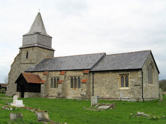
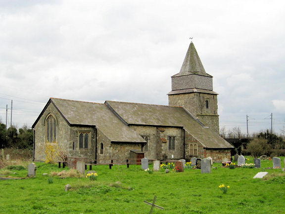
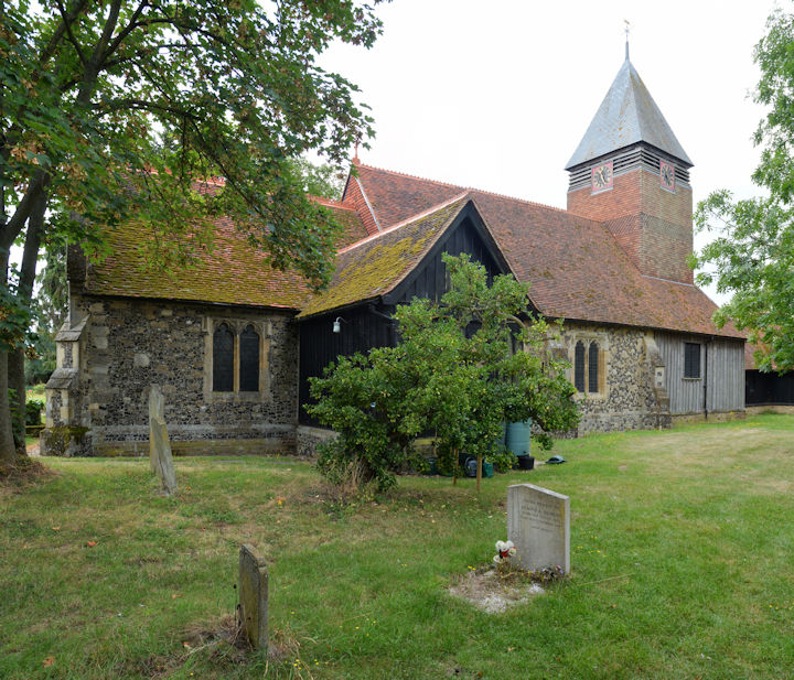
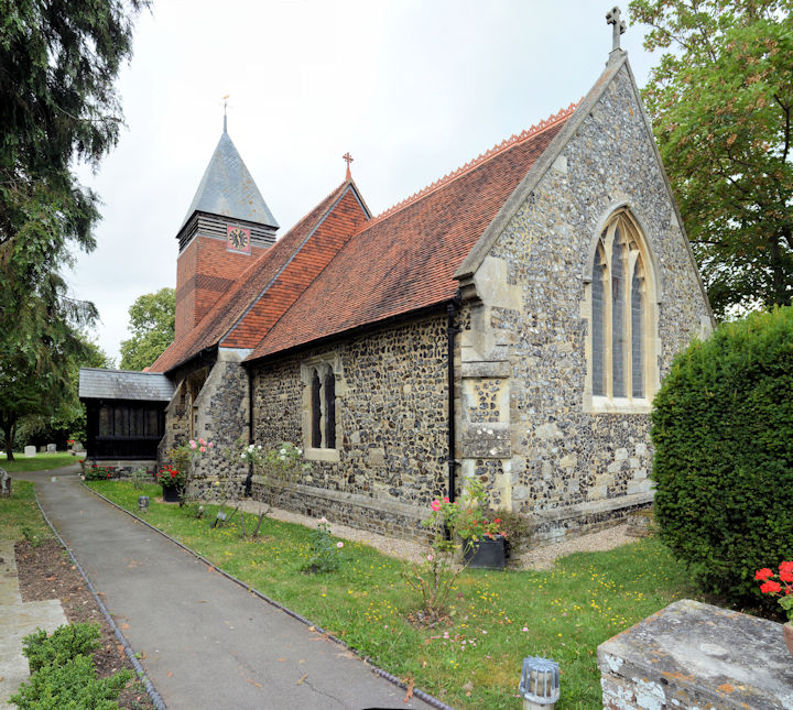
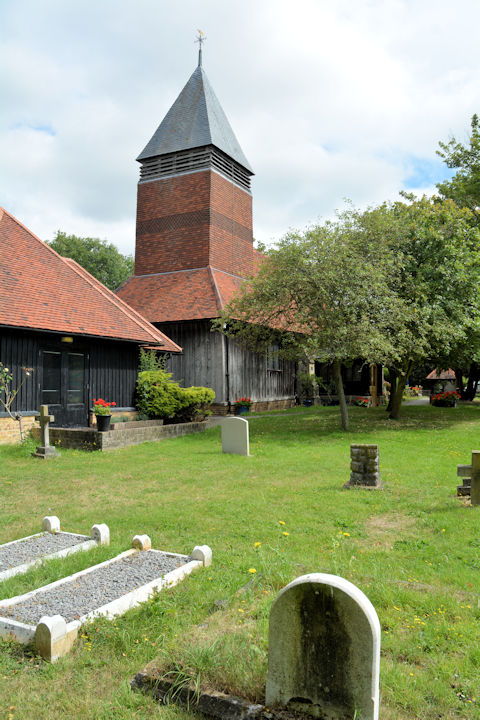
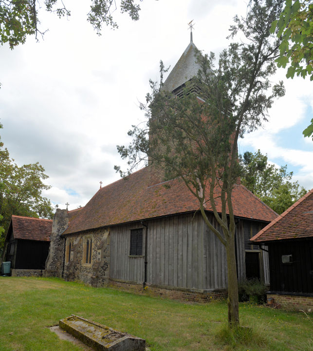
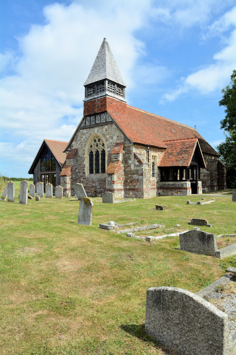
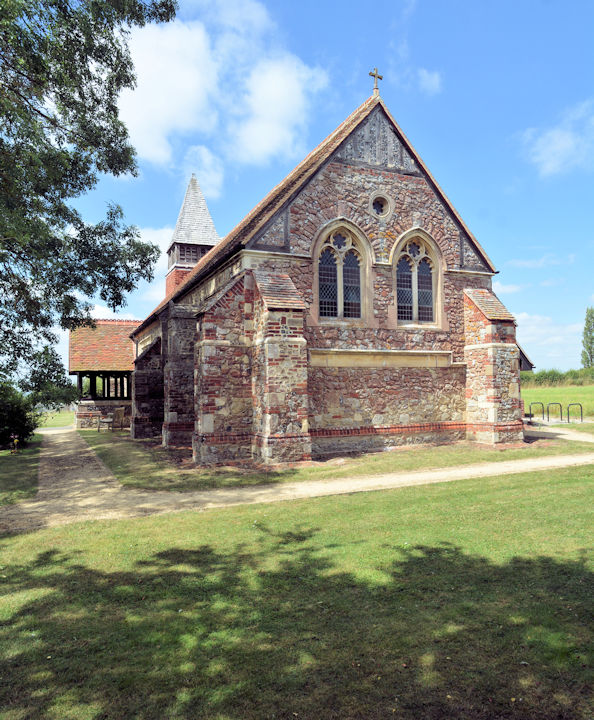
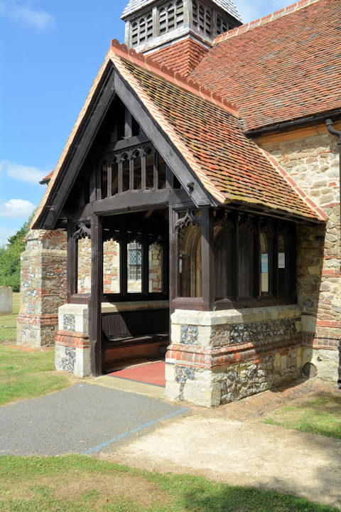
Little Clacton, St. James,
undergoing works. A 2023 Streetview provides
another view. TM 1661
1882. © Karel Kuča (2024).
Link.
Grade II* listed. The village also has a former
Methodist Chapel at TM 1650 1915. It's dated
here to
1851-2013, originally as Wesleyan, and was seen by
Streetview in
2023.
Little Hallingbury, St. Mary.
Another view. TL 5032 1747. Both ©
Karel Kuča (2019).
Link.
Grade II* listed. A churchyard tomb is also listed, as
grade II. A former
Mission Church
(2022 Streetview), dated 1877, stands to the S.W. at Gaston Green, at TL
4986 1696. Mid-20th century maps suggest that it had gone out of use by
then.
Little Totham, All Saints. Two more
views - 1,
2, Norman
doorway, the
interior, a fine
monument, and the
font. TL 8840 1032. All © Karel Kuča
(2007). Link.
Grade I listed.
Little Wakering, St. Mary the
Virgin. TQ 9345 8832.
© Julieanne Savage.
Link.
Little Warley, St.
Peter, as
seen by the Streetview van in 2009. Better images are available on Geograph,
here.
TQ 6044 8864.
Link.
Grade I listed.
Little Yeldham, St. John the Baptist.
Two interior views - 1,
2. TL 7792 3956. All
© Chris Stafford (2013).
Link.
Grade II listed.
Magdalen
Laver, St. Mary Magdalen. Two additional views -
1,
2, and two interiors -
1,
2. TL 5131 0828. All © Karel
Kuča (2007). Link.
Grade II* listed.
Maldon.
Manuden,
St. Mary the Virgin. TL 4910 2666. © Nadine Pedley. Two additional views -
1, 2,
four views of the interior - 1,
2,
3,
4, and the
font. All © Chris Stafford (2013).
Link.
Grade II* listed. Old O.S. maps show a Congregational Chapel (pre-dating one
of 1881), and a Primitive Methodist Chapel (built before 1897). Both are on The
Street, the Congregational at TL 4886 2692, and the P.M. at TL 4870 2702.
Both survive, converted. The
P.M. and Congregational
were both seen by Streetview in 2023. The P.M. is dated
here to 1880, where there are old photos, and also a photo of its
predecessor - this is in fact what is marked on old maps as the Congregational
Chapel, so perhaps it changed hands at some point.
Margaretting, St. Margaret,
south of the village. Two more
views - 1,
2, the
porch and its
door. TL 6650 0043. All © Karel Kuča (2007). Link.
Grade II* listed.
Marks Tey, St. Andrew.
Another view, the
porch, and the
interior. TL 9112 2388. All © Karel
Kuča (2007). Link.
Grade I listed. The Methodist Church stands on
London Road at TL 9211 2381. Seen by
Streetview in 2009, when it
already appears to be in secular use, it
post-dates a map of 1949. Earlier O.S. maps show a Baptist
Chapel on Old London Road at TL 9132 2345, the house on its site (does
anything remain of the chapel?) was seen by
Streetview in 2023. The
chapel had been built before 1876 and was still active in 1896, but had gone out
of use by 1920.
Middleton, All Saints.
TL 8709 3967. Previously in the "Unknown" section, this postcard (franked 1905), is from Judy Flynn's Collection.
Brian Curtis, Simon Davies, Janet Gimber and Greg Mishevski all rapidly identified it, providing
the following information and links. A photo of the
church in 1895 (with less greenery),
and a
drawing
from the 1940's. The spire was subsequently removed in the 1950's, when other
restoration work was carried out.
Church Plans On-line (no longer
available) says that an application for a grant was made in 1951, so the spire was perhaps removed in
the early 1950's. A
modern photo.
Link.
Grade I listed.
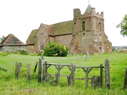
Mistley, Mistley towers, the remains of
Mistley Thorn Church, originally of 1735, later embellished by the towers added
by Robert Adam in the late 1770's, and which remain today. A
display board at the site includes an
illustration of the church in its complete state. The grid reference - TM
1159 3197 - is for the mid-point between the towers. Both © Karel Kuča (2019). Each tower is listed separately at grade I - they can be found
here.
St. Mary and St.
Michael stands a little way S.W. of the ruin, at TM
1138 3177. It was seen by
Streetview in 2021. Another
Streetview, also from 2021.
Link.
Grade II listed. A former Methodist Church
stands on Chapel Cut in New Mistley at TM 1216 3161. Originally Primitive
Methodist, it's dated
here to 1862, where it was said to still be active in 2015, but it has since
closed, as sale notices can be found on-line. It can be seen on a
Streetview from 2009.
Mount Bures, St.
John the Baptist. TL 9045 3248. © Roger Heap.
Link.
Grade I listed. A map of 1881 shows a Baptist Chapel
(General) on Chappel Road at TL 9019 3107. It survives today as
Hope Strict Baptist Chapel,
seen by Streetview in 2023.
Mundon, St. Mary, redundant since 1970. TL
8797 0267. © Iris Maeers. Three more views -
1, 2,
3, and the
porch, all ©
Karel Kuča (2007).
Link.
Grade I listed.
Navestock, St.
Thomas the Apostle. TQ 5405 9837. © Peter Hobday.
Link.
Grade I listed.
Newport,
St. Mary the Virgin. TL 5207 3411. © Marion Hall. Two interior views -
1,
2, the
chancel, the
pulpit and the
font, all
© Chris Stafford (2013).
Link.
Grade I listed. The U.R.C.
on the B1038, as seen by Streetview in 2010. TL 5178 3396.
A
link (no longer available), advised that it was previously a doctor's surgery. Older maps
mark a Congregational Chapel, the predecessor of
the U.R.C., towards the southern end of the village, at TL 5206 3369. The housing built on the site can
be seen in a Streetview from
2019. West of the village, at Bonhunt Farm, is the ancient
St. Helen's Chapel, seen by
Streetview in 2009. Its
Wikipedia entry
says that there is an annual service here. TL 5115 3349.
Grade II listed.
Noak Hill, St. Thomas. TQ 5409 9400. © Peter Hobday.
Link.
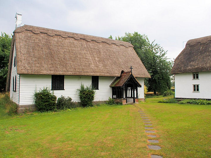
North End, Black Chapel, on Black
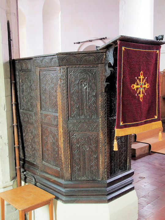
Chapel Lane, a little way S.W. of the hamlet.
Another view, and two of the interior
- 1,
2. TL 6626 1794. All © Karel Kuča
(2007). Link1.
Link2.
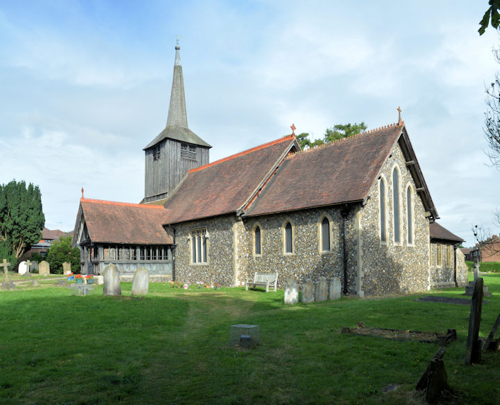
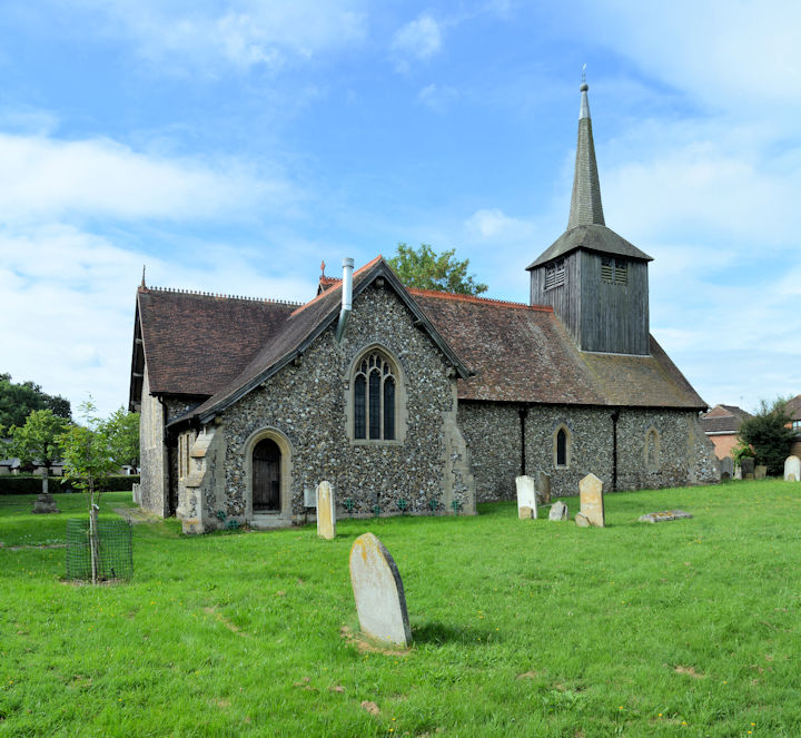
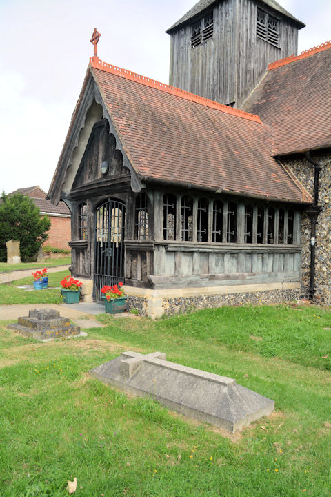
Grade I listed.
North Ockendon, St. Mary Magdalene. TQ 5873
8487. © Peter Hobday. Link.
Grade I listed.
North Shoebury, St. Mary the Virgin. TQ 9291 8615. © Julieanne Savage. An old postcard view, from Reg Dosell's Collection.
Link.
Grade II* listed.
North Stifford, St. Mary the Virgin.
TQ 6045 8031. © Mark
Summers. Link.
Grade I listed.
Orsett, St. Giles
and All Saints. TQ 6443 8197. © Brian Thompson.
Link.
Grade I listed. A churchyard monument is also listed, as
grade II. Older O.S. maps show an
Independent/Congregational Chapel on Rectory Road at TQ 6464
8167. It pre-dates a map of 1873 and was still active into the second
half of the last century. It hasn't survived - the house on its site was
seen by Streetview
in 2024. Wellcome Church meets at
Orsett Churches
Centre (2009 Streetview) on High Street. TQ 6439 8191.
Link.
Ovington, St. Mary (C). Another view.
TL 7632 4256. Both © Chris Stafford (2013).
Link1.
Link2.
Grade II* listed.
A tomb in the churchyard is also listed, at
grade II.
Paglesham,
St. Peter. TQ 9260 9306. © Roger Heap (2015).
Link1.
Link2.
Grade II* listed. A mounting block at an outside corner of the churchyard is
also listed, at
grade II. A map of 1880 shows a Wesleyan Methodist
Chapel on Paglesham Road at TQ 9218 9265. By the time of a map of 1898 it
had changed hands, becoming Congregational. It survived as a place of worship
into the second half of the last century, but has since been demolished.
It stood on what is now a yard for the adjacent house -
2024 Streetview. A new
church was built further east along Paglesham Road at TQ 9264 9250. Not well
seen on Streetview, Geograph has a decent
photo.
Link.
Panfield, St. Mary and St.
Christopher. Another
view. TL 7385 2534. Both © Karel Kuča
(2024). Link1.
Link2.
Grade II* listed - calls it St. Mary the Virgin. About ½ a mile to the west,
set back from Kynaston Road is/was an Independent Chapel,
shown on maps of 1881 and 1897, and just as a place of worship on maps up to at
least 1960. Part of the building can be seen in the background of a
Streetview from 2009.
Pentlow, St. George and St. Gregory.
TL 8126 4616. © Elizabeth Orbell. Two more views -
1, 2,
both © Chris Stafford (2013).
Link1.
Link2.
Grade I listed.
Pitsea, the surviving remains of St.
Michael. TQ 7386 8778. © Mark Summers. A pre-demolition photo can be seen
here.
Grade II listed - says "demolished around 2000". The Church at Gun Hill
(Elim Pentecostal) on London Road was originally Congregational, dated
here to 1884.
TQ 7488 8824. © Mark Summers. Streetview shows that by 2024 it had become known
as Pitsea Elim Church -
Streetview. In 2026 Google maps is showing it as permanently closed,
though its website is still working.
Link.
Prittlewell - see the Southend page.
Quendon, St. Simon & St. Jude (K),
undergoing refurbishment. Another view.
TL 5155 3066. Both © Chris Stafford (2013). Two more views -
1,
2, and the
porch, all © Karel Kuča (2019).
Link.
Grade II* listed.
A little way to the south at Rickling Green is a
Congregational Chapel, pre-dating a map surveyed no later than
1896. It may pre-date one of 1880, as there is a building present on the
site, though it's not labelled. It was still active into the 1950's at
least, but aerial views suggest it's since been demolished. It hasn't
been seen by Streetview. TL 5109 2985.
Radwinter, St.
Mary the Virgin. TL 6063 3728. From an old postcard in Steve Bulman's Collection. The postcard was badly faded,
and has been heavily processed to recover as good an image as possible. Three
modern views - 1,
2,
3, and the
lych-gate, all © Karel Kuča (2019).
Link.
Grade II* listed. Older maps show a
Mission Room to the N.E. of the village, on Ashdon
Road at TL 6119 3769. It, or a later building on the same site, can be seen in a
Streetview from 2011.
Ramsden Bellhouse, St. Mary.
Another view, the wooden
porch, and three views of the
interior - 1,
2,
3. TQ 7192 9427. All © Karel Kuča
(2007). Link.
Grade II* listed.
A Baptist Church stands a
little way north, on Church Road, at TQ 7190 9454. It was seen by
Streetview in 2009.
Link.
Ramsden Crays, St. Mary.
This
source says it was made redundant in 1993 and subsequently converted into a
house. Another view. TL 7080 9336.
Both © Karel Kuča (2024).
Grade II* listed.
Rawreth, St. Nicholas, a re-build of 1882.
TQ 7806 9343. © Brian
Thompson. Link.
Grade II listed.
Rayleigh.
Rivenhall, St. Mary and All Saints on Church Road.
Pevsner says of its stained glass - "The best in Essex". The tower. TL 8279 1779.
Both © Steve Taylor. Link.
Grade I listed. A Congregational Chapel
is shown on O.S. maps of the late 19th century, on London Road, Rivenhall End,
at TL 8405 1658. Still showing as active on a map of 1960, it may have survived
(converted) as one of the buildings seen in a
Streetview from 2010.
Rochford.
Roxwell, St. Michael and All
Angels. Two more views - 1,
2, the
porch and the
interior. TL 6455 0849. All © Karel Kuča (2024).
Link1.
Link2.
Grade II* listed.
Roydon, St. Peter ad Vincula. TL 4079
1027. From an old postcard in Reg Dosell's Collection. A 2023 Streetview
provides a modern view.
Link.
Grade I listed. An Independent Chapel,
pre-dating a map of 1880, stands on Harlow Road. Now
Roydon U.R.C., it was
seen by Streetview in 2023. TL 4126 1006.
Link has several photos, and dates the present building originally to 1851,
later altered and enlarged. Mid 20th century maps show a
place of worship at East End, at TL 4210 1016. I haven't been able to
discover what it was. It was in, or near to, the building seen in a
Streetview from 2009.
Runwell, St. Mary. The
tower, and the
porch. TQ 7536 9440. All © Karel Kuča
(2007). Link.
Grade I listed.
About a mile to the N.N.E. on St. Luke's Way, at TQ 7616 9589, is a
grade II listed Chapel of 1837, part of Runwell
Hospital. It was seen by
Streetview in 2018.
Saffron Walden.
St. Osyth, St. Peter and St. Paul - not well seen by Streetview, but
the church website has a good
photo. TM 1226 1557.
Grade I listed. The gatehouse of the
Augustinian Abbey,
now a private residence. TM 1210 1563. From an old postcard in Steve Bulman's Collection.
Many other fragments of the abbey survive, and many of these are listed - see
here. Wikipedia
article. A former Wesleyan Methodist Chapel
survives (presumably converted) on Chapel Lane, at TM 1242 1556. It had been
built by 1880. It has only been seen by
Streetview once, in
2010, when it was undergoing works. Some small photos can be seen
here,
where it's dated to 1855-2019.
Sewards End (or Sewer End), St. James. Pevsner advises a date of 1847,
as a school chapel (presumably the small building to the right in the photo),
with the small church added in 1870-1.
Interior view (taken through a
window). TL 5697 3814. Both © Chris Stafford (2013).
Link.
Shenfield - see the Brentwood page.
Shoeburyness - see the
Southend page.
Sible Hedingham, St. Peter.
Another view, two of the interior
- 1,
2, a fine
cenotaph supposedly
commemorating Sir
John Hawkwood who is buried in Florence, a
window detail, and the
font. TL 7756 3435. All
© Chris Stafford (2013). Link.
Grade II* listed.
Hedingham Baptist Church
(2021 Streetview) stands on Swan Street. It dates from 1807 (source
- no longer available).
TL 7792 3450. Link.
Another Baptist Church is shown on O.S.
maps less than ½ a mile to the south on Swan Street, at TL 7824 3405.
The source already referred to names it as Rehoboth Strict Baptist
Chapel. Streetview
saw it in 2009. The 1897 O.S. maps marks a
Congl. Chap. a little further south on Swan Street at TL 7828
3382. The same source says that this was originally a Quaker Meeting
House, sold to the Congregationalists in 1833. Now in residential use,
it was seen by
Streetview in 2018. Also on Swan Street was a
Primitive Methodist Chapel, referred to
here as having been founded before 1867. The only available map to
show it is from 1881, where it's just a few yards north of the Baptist
Chapel, at circa TL 7820 3410. It stood where the parking area is in
this 2009 Streetview.
Silver End, St. Francis, on Boars Tye Road. Another view. TL 8106 1969.
Both © Steve Taylor. Link. St. Mary (R.C.) on Sheepcotes Lane.
Another view. TL 8104 1998. Both ©
Steve Taylor.
Link. Silver End Congregational Church on
Silver Street. Another view. TL 8056 1988.
Both © Steve Taylor. Link.
Pevsner dates these churches to 1929-30, 1966 and 1930 respectively.
Silver End Christian Fellowship meets in the
village hall (2023
Streetview) on Broadway. TL 8073 1976.
Facebook.
South Benfleet.
South Hanningfield, St. Peter. TQ
7444 9805. © Karel Kuča (2007).
Link.
Grade II* listed.
South Ockendon.
South Stifford, Bethel Full Gospel Church. © Alan Taylor.
I think this is the same building shown on the earliest Streetviews
(e.g. in 2009)
on London Road at TQ 6008 7797. It had been demolished by 2012, when
housing has been built on its site -
Streetview.
Southchurch - see the
Southend page.
Southend-on-Sea.
Stanford-le-Hope.
Stansted Mountfitchet,
St. Mary the Virgin, which stands to the S.W. of the village. The church has
been redundant since 1990, says Pevsner. Not well seen by Streetview, some
photos can be seen
here. TL 5210 2416.
Wikipedia.
Grade II* listed. St. Thérèse of Lisieux (R.C., 2002)
on High Lane, which Pevsner dates to 2002. An additional
view. TL 5140 2584. Both © Chris Stafford (2013).
Link.
Stansted Quaker Meeting
House is on Chapel Hill, and was seen by Streetview in 2023.
Link. The
history page dates the
present building to 1967, successor to an 18th century building demolished as
unsafe in 1966-7. There are photos of this building. TL 5101 2503. Large scale
O.S. maps show Chapel (Site of) on the
triangular traffic island
(2018 Streetview) at the junction of Cambridge Road with Bentfield Road. I
haven't discovered any further details. TL 5097 2507. Maps from the very end of
the 19th century show a Primitive Methodist Chapel
on Cambridge Road at TL 5128 2556. It survives, and was seen by
Streetview in 2023. It
is probably this chapel which went out of use during or before 1929 - the Quaker
history page already referenced says that the P.M.'s used the Quaker Meeting
House from 1929 onwards "for many years". Stansted Free
Church (Methodist and U.R.C.) is on Chapel Hill, and was seen by
Streetview in 2017. It
had previously been U.R.C., and Congregational before that, and the local
Methodist congregation merged with the U.R.C. here in 2006 (source).
Pevsner provides a date of 1864. TL 5134 2495.
St. John the Evangelist
(2009 Streetview) on St. John's Road and Chapel Hill. TL 5126 2501.
Link.
Grade II listed - dates it to 1889. The churchyard war memorial is also
listed, as
grade II. A commercial
building (2023 Streetview) on the west side of Silver Street is shown on a
map of 1881 as Chapel, and in 1898 as Sunday
School. The commercial interest's
website dates the chapel to 1836 but doesn't say what its affiliations were.
TL 5991 2495.
Steeple, St. Lawrence and All Saints.
TL 9346 0297. From an old postcard in Reg Dosell's Collection. A 2009 Streetview
provides another view.
Link.
Grade II listed - dates it to circa 1884, "re-using some materials from
demolished old church". The site of the Old Church of St.
Lawrence is shown on O.S. maps at TL 9291 0285. Its site lies
within the shrubby area seen by
Streetview in 2024. The
25" O.S. map of 1922 shows Chapel (Peculiar People)
on Maldon Road at TL 9301 0267. Although it had gone out of use no later than
1953, it survives, and was seen by
Streetview in 2024. It's
dated 1877.
Grade II listed. Pre-dating a map of 1881 is an
Independent Chapel on Batt's Road, at TL 9389 0307. It was active into
the 1950's at least, presumably as Congregational or U.R.C. Pevsner dates it to
1857, and it was seen by
Streetview in 2024.
Steeple Bumpstead, St. Mary.
Another view, three of the interior -
1,
2,
3, a
window detail, a
monument, and the
font. TL 6790 4106. All © Chris Stafford (2013). Link.
Grade I listed. A monument in the churchyard is listed separately as
grade II. The Congregational
Church on Chapel Street, as seen by Streetview in 2011. It's dated by
Pevsner to 1883, which, if correct, means it had a predecessor on the same site,
which shows on a map revised no later than 1877. TL 6803 4115.
Link. A
Gospel Hall is shown on an O.S. map of 1960, at TL 6785 4137, on what
today is The Chase. Two garages now stand on the site, seen
here by Streetview in 2009.
Stock, All Saints. TQ 6877 9864. From an old postcard
in Reg Dosell's Collection. Compare with the photo of bomb damage in WWII on this
link.
Three modern views - 1,
2, 3,
the wooden porch, a
door, and two of the interior -
1,
2, all © Karel Kuča (2007).
Link.
Grade I listed. Christ
Church (Evangelical) on High Street, as seen by Streetview in 2021. Older
maps label it as Congregational, and Pevsner dates it to 1887-9. TQ 6892 9883.
Link.
Our Lady and St. Joseph
(R.C.) on Mill Road - seen by Streetview in 2021. What seems to be the same
building is marked on older maps as a school - Pevsner confirms this, dating the
school to 1890-1, church from 1937. TQ 6913 9874.
Link. What is likely to have been its predecessor can be seen on a map of
1922 - R.C. Church - at Lilystone hall south of the village at TQ 6853
9834. Nothing useful can be seen on Streetview because of roadside vegetation,
but this
source includes a photo of it. Lilystone Hall is
grade II listed, but the entry makes no mention of the church. A map of 1881
shows a Chapel set back from Mill Road at TQ 6905
9883. It seems to have gone out of use by 1897. The road called Bakers
Field has since been built, and the chapel, had it survived, would have stood at
about where the road makes a dog-leg to the right, seen in a
Streetview from 2024. I
haven't been able to discover anything about it.
Stondon Massey, St.
Peter and St. Paul, N.W. of the village proper. Three more views -
1,
2,
3, and the
porch. TL 5726 0159. All © Karel Kuča (2024).
Link.
Grade I listed.
Strethall, St. Mary the Virgin. TL
4854 3982. © Marion Hall. Link.
Grade I listed.
Thaxted, St. John the Baptist, Our Lady and St. Laurence. TL 6103 3101. From an old postcard in
Christopher Skottowe's Collection. A modern view, and the porch, both ©
Les Needham (2013). Another view, ©
Karel Kuča (2007). Link.
Grade I listed.
U.R.C. on Bolford Street, which was
originally Congregational. Pevsner dates it to the late 18th century, with later
enlargements. TL 6087 3096. © Les Needham (2013).
Link.
Baptist Church (1833) on Park Street. TL 6122 3079. © Les Needham (2013).
Link.
Grade II listed.
A map of 1881 shows another Baptist Church, on
Dunmow Road, at TL 6142 3059.
The Chapel House (2023
Streetview) stands on the site today - it's not obvious whether anything of the
chapel survives. Pevsner mentions yet another former
Baptist Chapel, of 1813, this one surviving (at the time Pevsner was
writing) as part of a factory on Mill End.
2021 Streetview. TL 6136
3078. The building is
grade II listed - it makes no mention of it having been a chapel.
Theydon Mount, St. Michael the
Archangel. TQ 4927 9923. © William Metcalfe.
Link.
Grade I listed. A churchyard tombstone is also listed, as
grade II.
Thorpe Bay - see the
Southend page.
Thorpe-le-Soken, St. Michael.
Another view. TM 1792 2230.
Link.
Grade II* listed. The
Baptist Church stands well back
from the High Street. It's dated by Pevsner to circa 1802.TM 1798 2239.
Link.
Grade II listed. All © Karel Kuča (2007). The
village also has a former Methodist Church, on
Landermere Road. Originally Primitive Methodist, it's dated
here to 1867-2002, and was seen by
Streetview in 2017. TM 1804
2236.
Thundersley.
Tillingham, St. Nicholas. TL 9933 0383.
© Tony Preston. The 1881 O.S. map shows an astonishing four chapels in what was
a rather small village. The most southerly was Chapel
(Peculiar People) on the west side of South Street at TL 9930 0353. By
2009 the building on the site sported a sign saying
Chapel House
(Streetview). Next north was a Primitive Methodist Chapel,
set well back from the road, at TL 9924 0349. Demolished at some point, it's
dated
here to the 1860's, closing by 1940. Had it survived it would have
stood on the left hand side of Chapel Lane seen in a
Streetview from 2024.
The same view also shows the next, an Independent Chapel,
which was still active into the second half of the last century. TL 9929
0353. Further north still, then east along Marsh Road, was a
Baptist Chapel. Gone, it has been replaced by
housing (2024
Streetview). It had been closed and demolished no later than 1953. TL 9946 0374.
By 1898 another two chapels had been built, both on South Street. A building on
the site of the more northerly of the two was being demolished at the time of
the first Streetview
visit in 2009, though whether this was the chapel isn't obvious. TL 9932 0348.
The Peculiar People" Chapel,
presumably successor to the Chapel (Peculiar People)
already mentioned, is the more southerly. TL 9934 0341. ©
Iris
Maeers.
Tilty, St. Mary the Virgin. TL 5998 2651. © Les Needham (2013).
Another two views - 1,
2, the
porch, the interior, and the
font, all © Karel Kuča (2019).
Link.
Grade I listed.
The scant remains of Tilty Abbey stand to the north
of the church. Not visible on Streetview, a photo and history are available
here.
TL 6002 2666.
Grade II listed.
Toppesfield, St. Margaret of Antioch.
Wooden porch. TL 7396 3744. Both
© Steve Taylor. Link.
Grade I listed. O.S. maps from 1881 to 1960 (the latest available on-line)
show a Congregational Chapel, a little way west of
the church, at TL 7381 3743. It survives (converted) as
Chapel House, seen by
Streetview in 2023.
Ulting,
All Saints. Two more views - 1,
2. TL 8013 0877. All ©
Karel Kuča (2024).
Link.
Grade II* listed. A churchyard tombstone is also listed, as
grade II.
Upshire, St. Thomas.
Another view. TL
4157 0100. Both © Karel Kuča (2024).
Link.
Grade II* listed. The
history page
dates it to 1901-2, and says that prior to the building of the church,
services were held in the local school. The only nearby school is shown
on O.S. maps east of the church, at TL 4165 0098. Demolished, a
house now stands
on its site (2021 Streetview).
Vange - see the Basildon page.
Waltham Abbey.
Walton-on-the-Naze.
Warley - see Great Warley on the
Brentwood page.
Wennington, St. Mary and St. Peter. TQ 5398
8095. © Peter Hobday. Link.
Grade II* listed.
West Bergholt, St. Mary Old Church - no
longer in use (redundant in 1975), and now in the care of the
Churches Conservation Trust. TL 9529 2808. © Roger Heap.
Grade I listed.
St. Mary (the new church) is on New
Church Road, and dated by Pevsner to 1903-4.
Another view. TL 9613 2780. Both © Roger Heap (2011).
Link (for both
churches). The former
Methodist Church (TL 9614 2757, 2010 Streetview) on Chapel Lane and Chapel
Road closed in 2018 (source).
It was originally Primitive Methodist, dated
here to 1878 close to the site of its predecessor of 1838. The predecessor
is shown on a map of 1881 on Chapel Road at TL 9597 2743. The building on the
site today was seen by
Streetview in 2024 - does anything of the chapel survive? There used to be a
small Mission Room on New Church Road, just a few
yards south of the later (new) St. Mary at TL 9616 2775. Built by 1896, was it
the predecessor of St. Mary? Its site (between the houses) was seen by
Streetview in 2023.
West Hanningfield, St. Mary and
St. Edward. Another view. TQ 7350
9982. Both © William Metcalfe. Another
view, © Karel Kuča (2007).
Link.
Grade II* listed. An O.S. map of 1957 shows a place of worship at TQ 7255
9981. I haven't been able to discover what it was. As a small scale map it's
difficult to be precise about where it stood, but it looks as if the wooden
building seen here in a
Streetview of 2009 could be it (or on the site of it). It's recently been
demolished.
West Horndon, St.
Francis, as seen by the Streetview van in 2024.
TQ 6248 8842. Link.
Westcliff on Sea - see the
Southend page.
Wicken Bonhunt, St. Margaret.
Another view, three interiors -
1,
2, 3, the
pulpit and the font. TL
4989 3335. All ©
Chris Stafford (2013). Link.
Grade II* listed.
Wickham Bishops, St. Bartholomew.
Another view. TL 8371 1205. Both © Steve
Taylor (2010). Link.
Grade II listed.
Wickham St. Pauls, All Saints (K),
to the north of the village proper.
Four further views - 1,
2,
3, 4.
TL 82713713. All © Roger Heap. Link.
Grade II* listed. In the village itself there used to be a
Primitive Methodist Chapel, off School Road, and
pre-dating a map of 1880. Still active into the second half of the last century,
it was closed and demolished at some point. What I suspect was the gated access
path to it was seen by
Streetview in 2011. TL 8304 3643.
Widdington, St. Mary the Virgin. Three
interior views - 1,
2,
3, a carved
capital, a
window, the
piscina, and the
font. TL 5397 3178. All
© Chris Stafford (2013). Link.
Grade II* listed. Older O.S. maps mark a
Congregational Chapel on High Street at TL 5386 3168. It pre-dates a map
of 1881, and was still active into the mid-20th century at least. Ash Tree
Cottage now stands on the site, and it was seen by
Streetview in 2014.
Witham.
Wivenhoe, St. Mary the Virgin. TM 0390
2151. © Les Needham. Link.
Grade II* listed. The churchyard war memorial is also listed, as
grade II. The Methodist
Church (2023 Streetview) is on The Avenue, at TM 0392 2215.
Link. It's
dated
here to 1901 as Wesleyan, successor to an earlier wooden chapel of 1871 on
Chapel Road (there is an illustration of it). It shows on old maps at TM 0384
2165, and the St. John's Ambulance building on its site was seen by
Streetview in 2009. The
Mortuary Chapel in the cemetery on Belle Vue Road
was seen by Streetview
in 2023. TM 0425 2229. The
Congregational Church (2021 Streetview) on High Street is dated
here to 1962-3. It also mentions two predecessors, both on West Street, of
1805 and 1846. The latter is an imposing building, seen by
Streetview in 2023. TM
0379 2153.
Grade II listed.
Wix, St. Mary the Virgin. Some O.S. maps
label it as St. Michael. Another view,
and the bell-cage. TM 1635 2903. All
© Karel Kuča
(2007). Link1.
Link2.
Grade II listed. Google Streetmap aerial view shows a MCC Wix Methodist
Community Church, and a link to a site that doesn't mention it. Another
source says that it was for sale at some point. Seen by
Streetview in 2021, the sign
to the left of the big window says "Plymouth Brethren". Have they acquired the church recently? TM 1603 2838. Older O.S. maps show a
Wesleyan Methodist Chapel on Harwich Road at
TM 1664 2850. The building
on the site (Streetview 2021) appears to be a barn or shed, but does anything of
the chapel survive? There was also a Primitive Methodist
Chapel west of the village on Colchester Road at TM 1483 2783. It
pre-dates a map of 1898. It stood just past the driveway seen in a
Streetview from 2021.
Woodham Mortimer, St. Margaret,
on Maldon Road. Another view. TL
8228 0523. Both © Steve Taylor (2011).
Link,
Grade II listed. A churchyard monument is also listed, as
grade II.
Wormingford, St. Andrew.
Another view. TL 9329 3224. Both © Roger Heap.
Link.
Grade I listed.
Wrabness, All Saints. Three more views -
1,
2, 3, and the
font.
The
bell-cage is separately listed as
grade II. TM 1742 3188. All © Karel Kuča
(2007). Link.
Grade II* listed. About ¾ of a mile south of the church is the site of a
Wesleyan Methodist Chapel.
Whether the building on the site (Streetview
in 2009) is the converted chapel, or a later building, is unclear. It pre-dates
a map of 1897, and ceases to be marked as a place of worship in the mid-20th
century. TM 1740 3058. Another Chapel, now
converted, stands nearby at TM 1750 3077. Seen by
Streetview in 2021, it was
Wesleyan, so likely to have been successor to the previous entry. The National
Archives
references documents pertaining to the Wrabness Wesleyan Chapel for the
years circa 1845-1993; 1845 must relate to the building of the first chapel,
and 1993 to the closure of the second.
Writtle, All Saints. TL 6776 0614. ©
Geoff Watt. Another view, and the
interior, both
© Karel Kuča
(2007).
Link.
Grade II* listed.
U.R.C. (originally Congregational) on
The Green. The church
website advises of the closure of the church in 2019. Both © Geoff Watt.
|
|
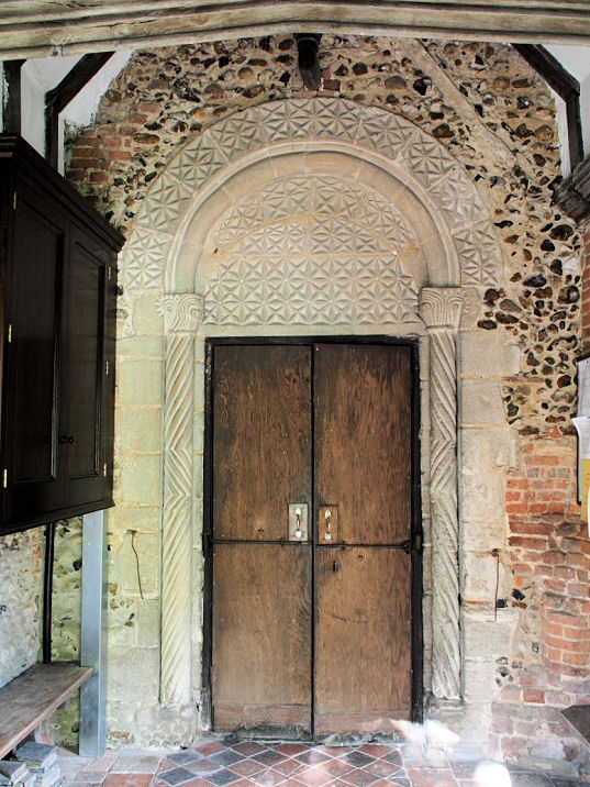
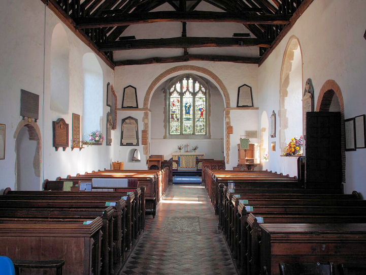
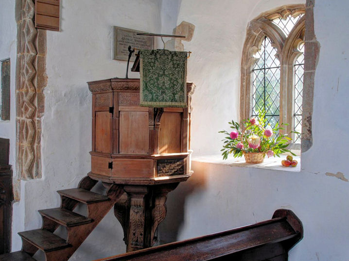
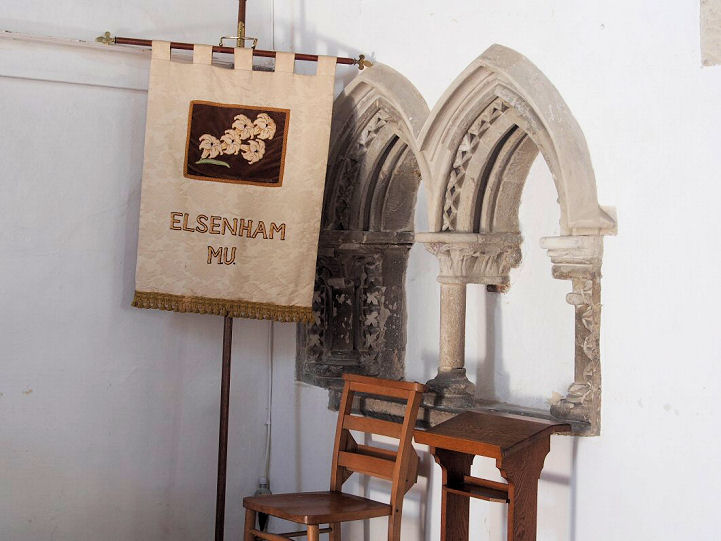
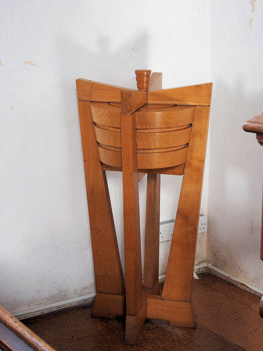
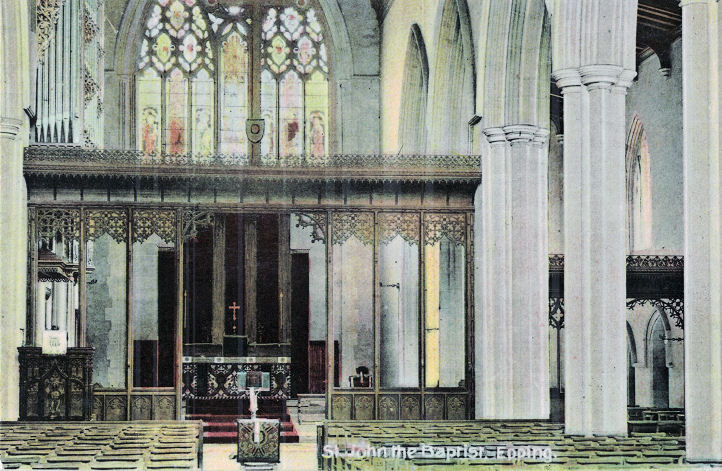
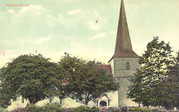
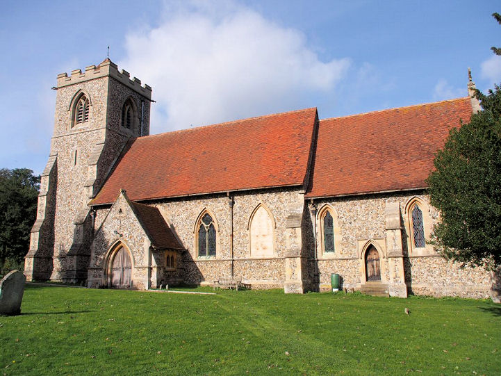
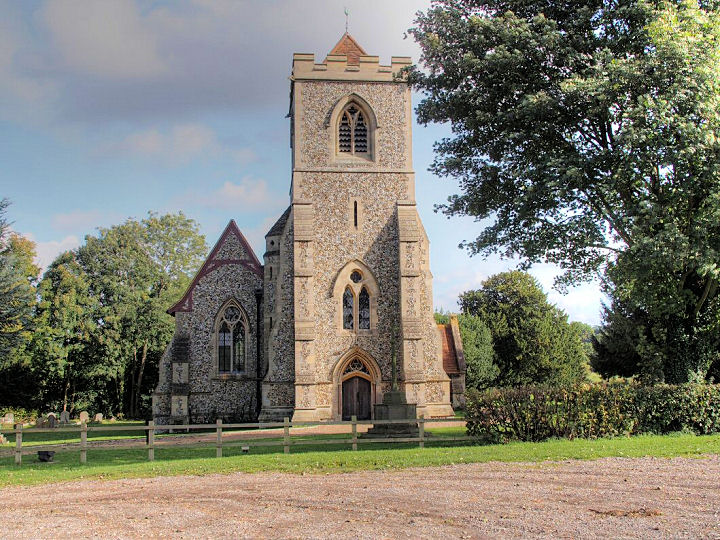
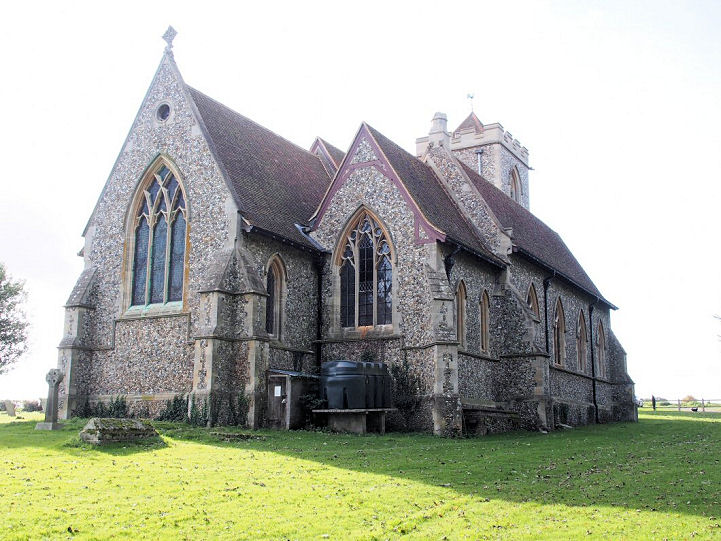
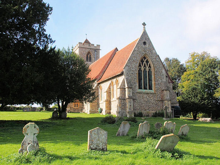
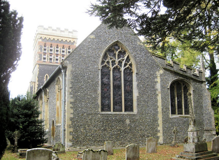
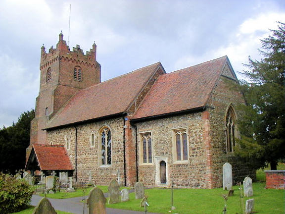
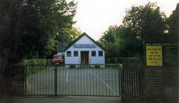
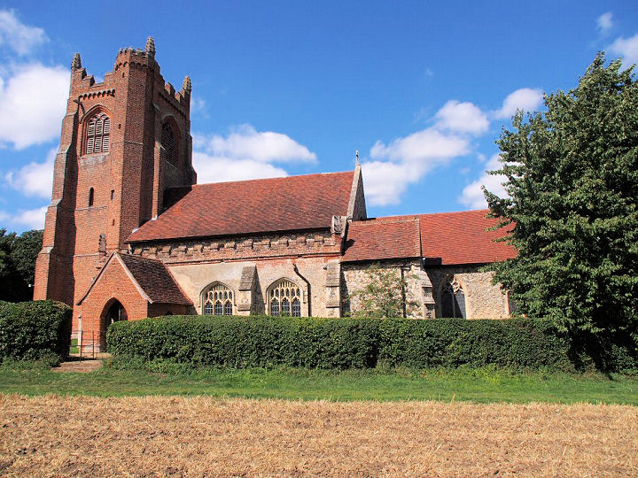
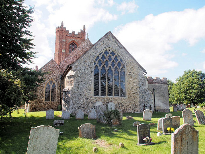
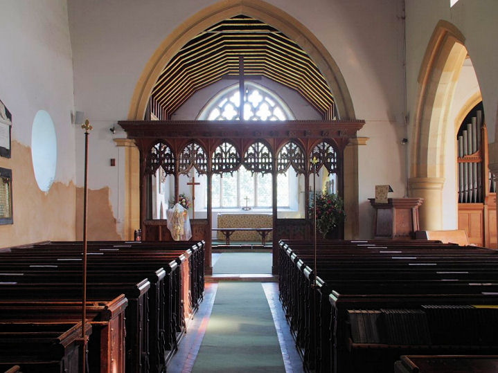
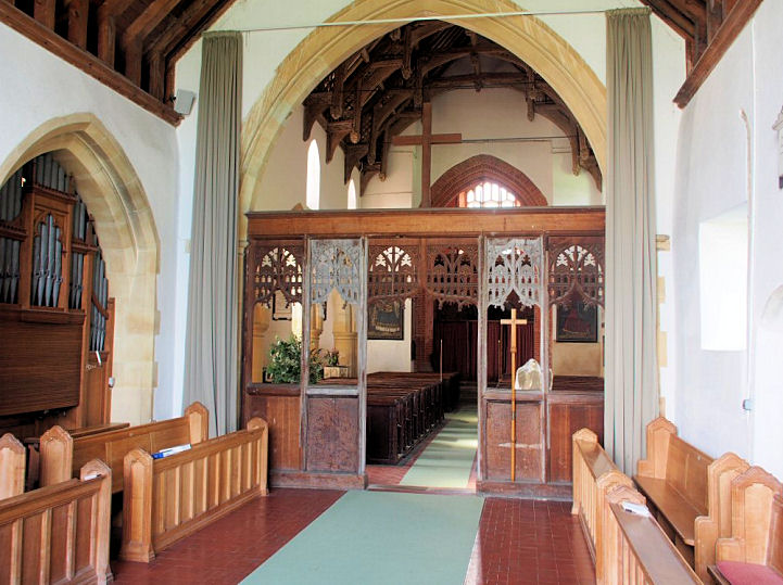
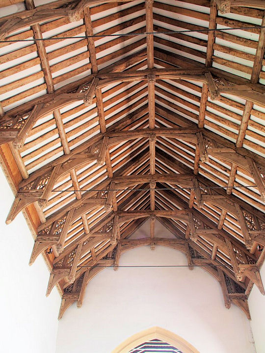
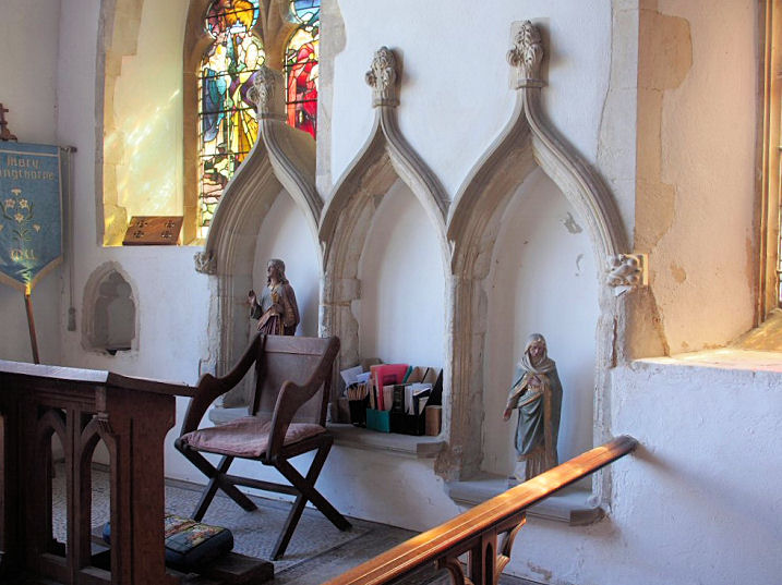
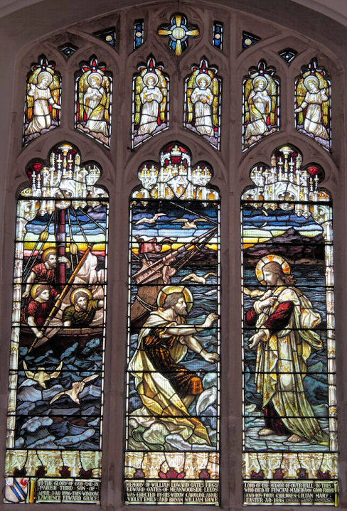
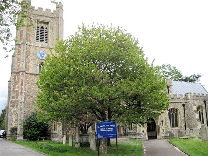
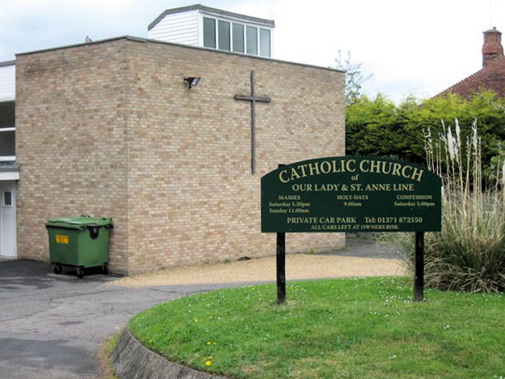
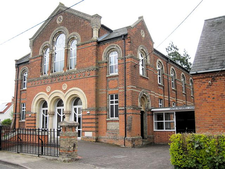
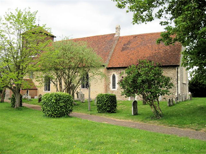
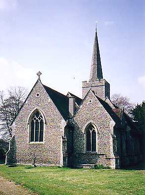
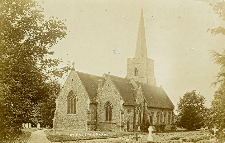
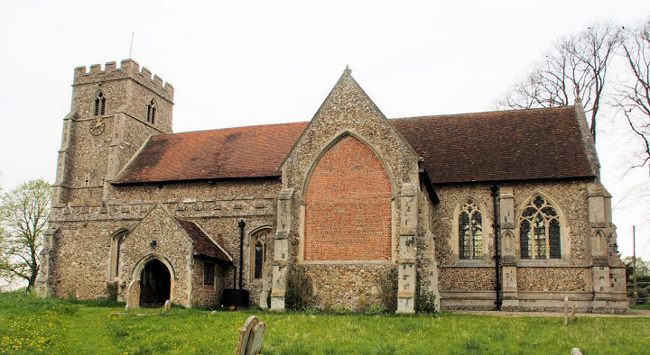
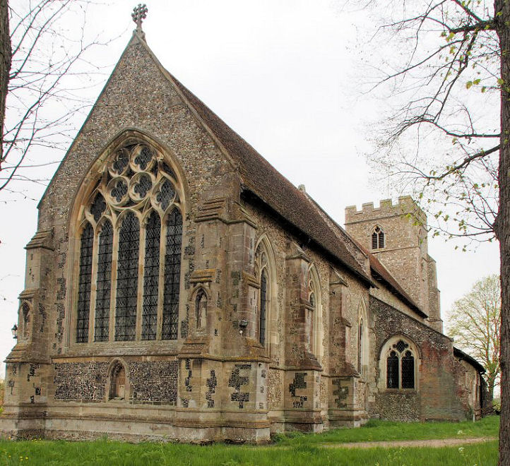
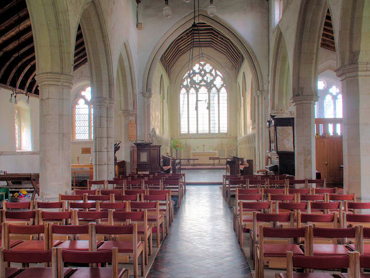
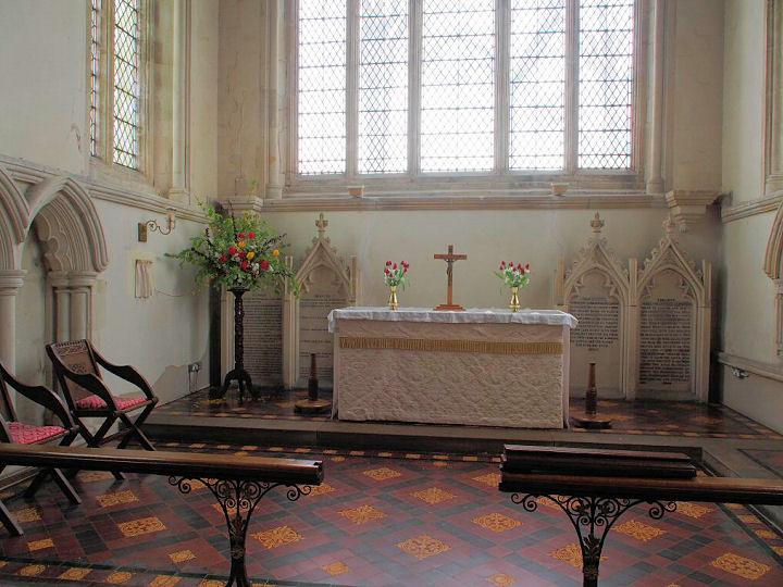
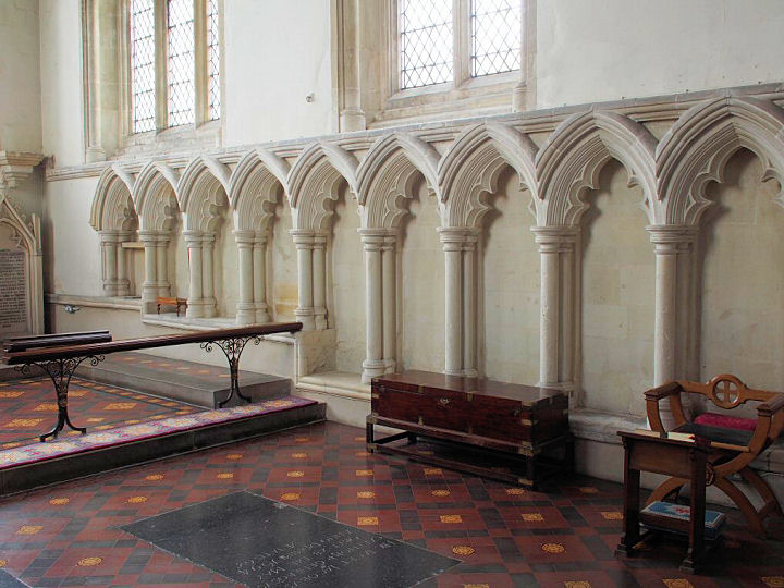
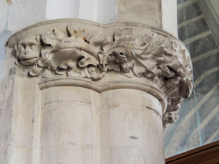
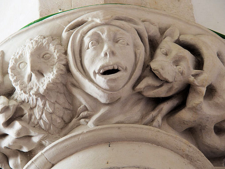
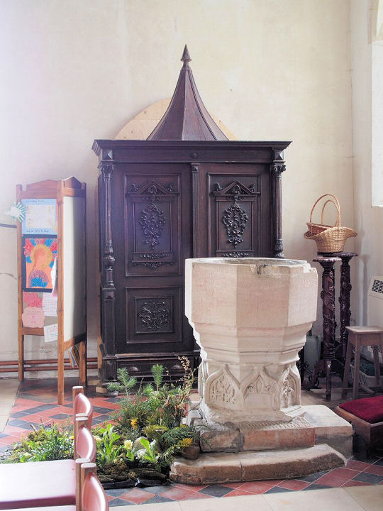
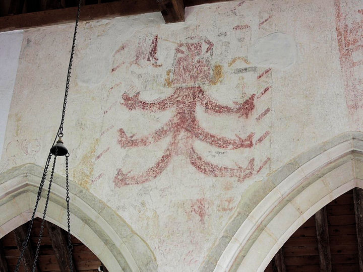
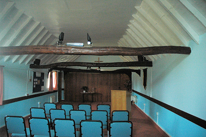
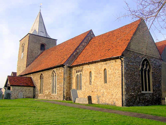
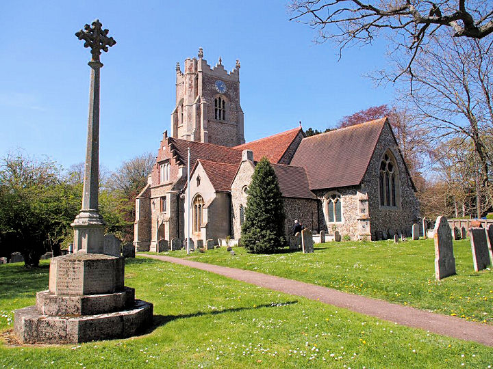
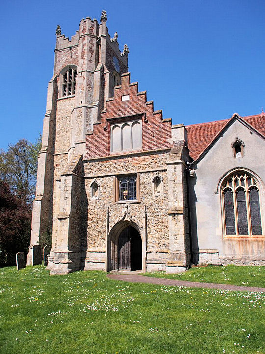
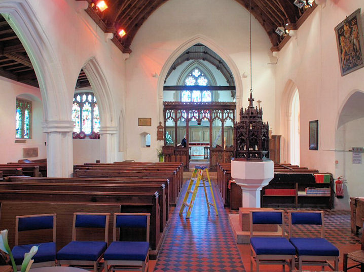
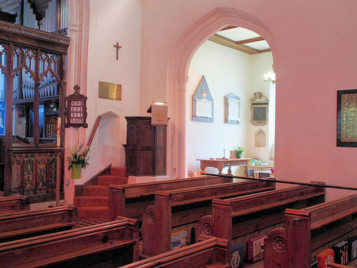
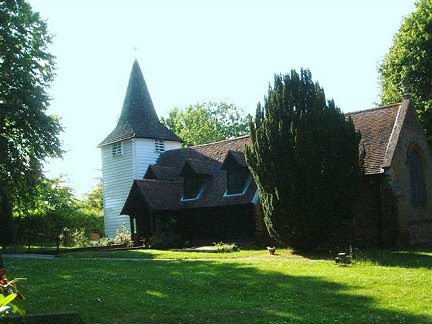
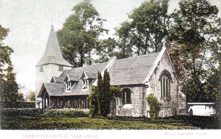
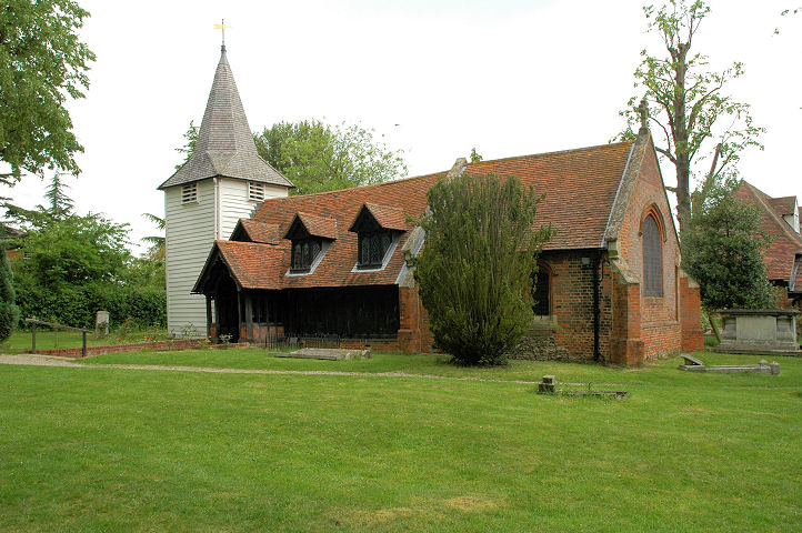
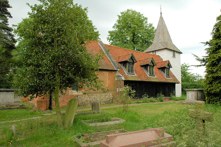
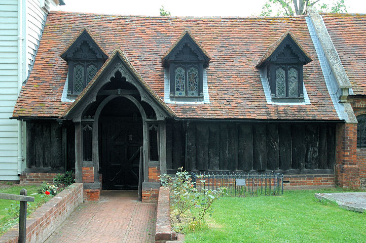
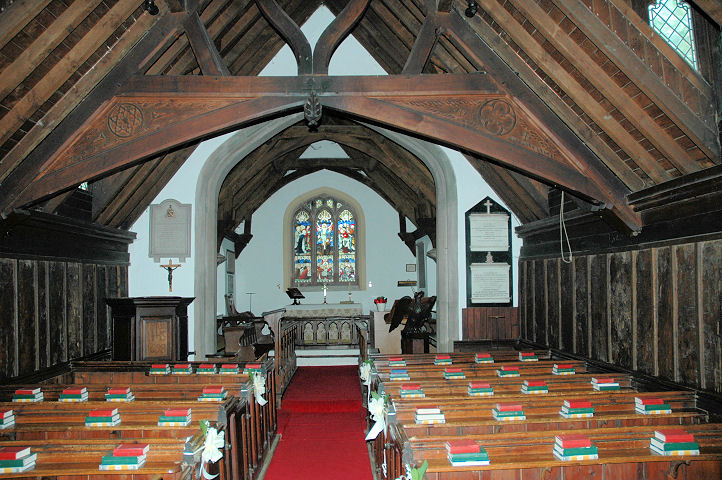
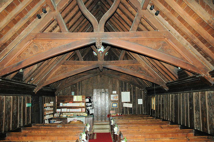
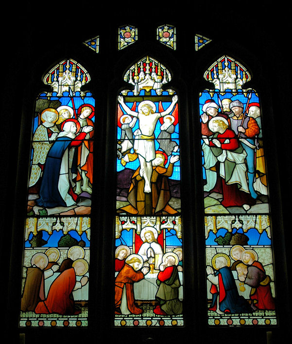
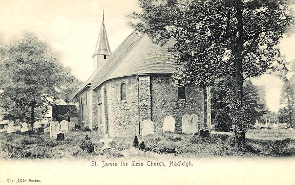
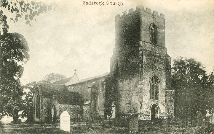
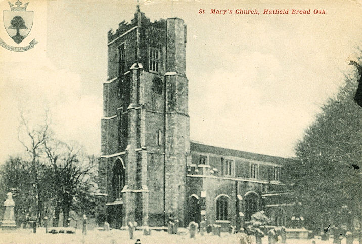
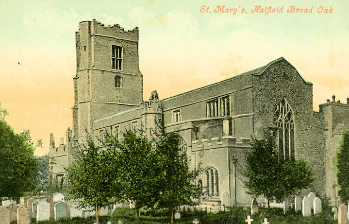
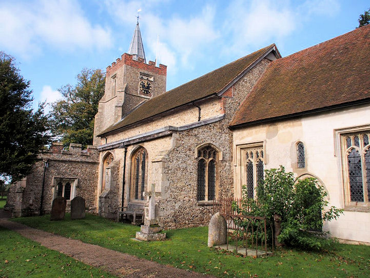
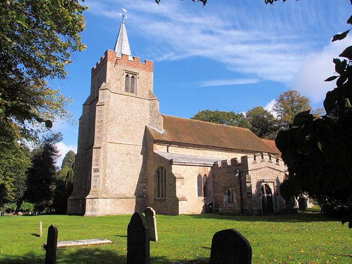
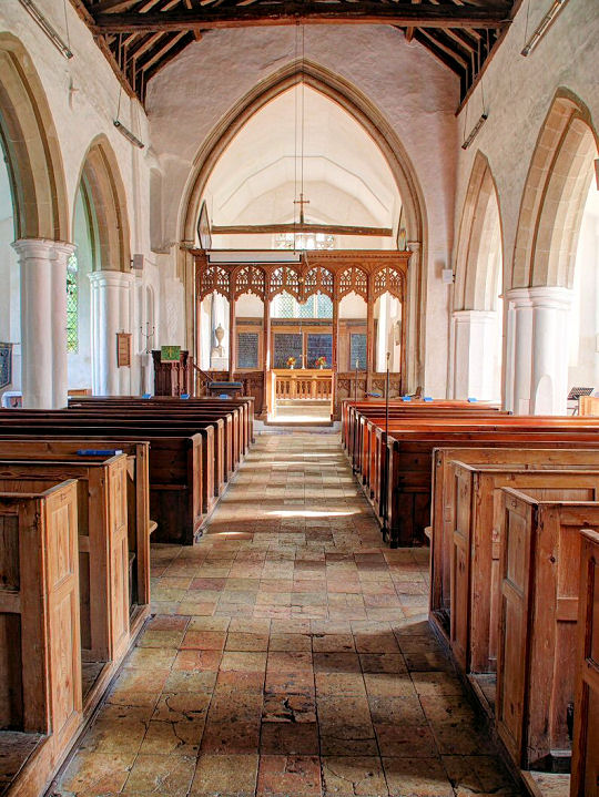
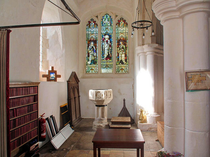
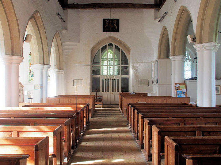
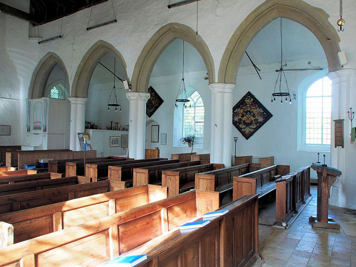
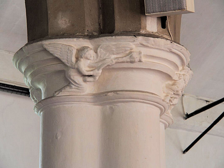
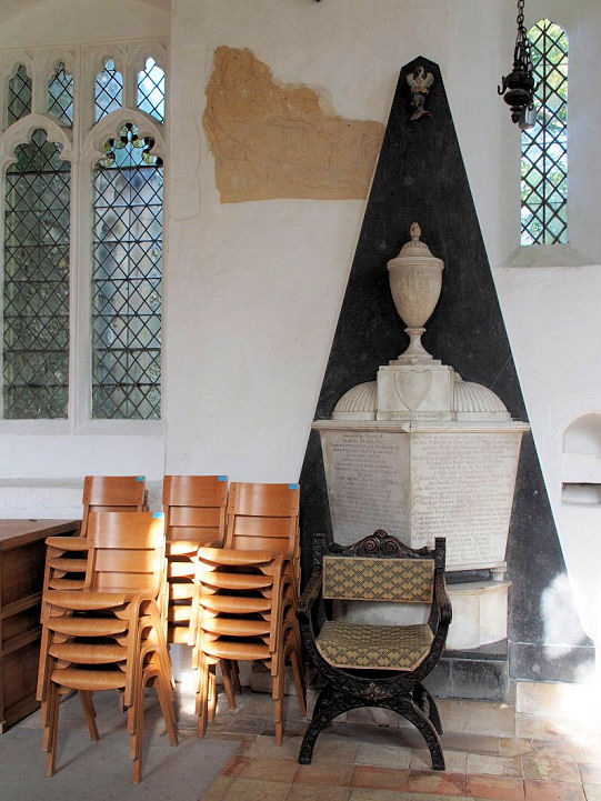
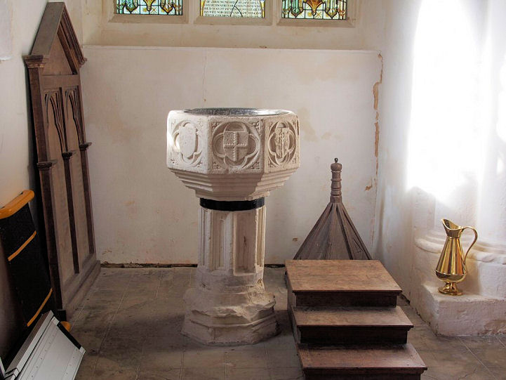
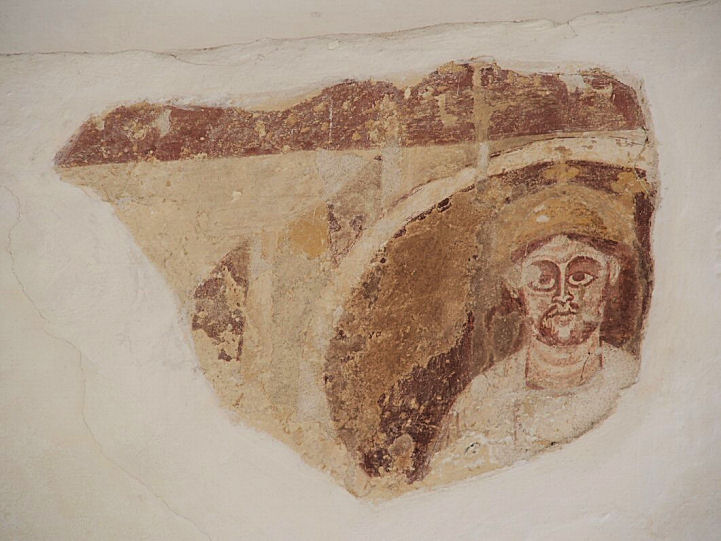
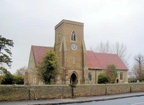
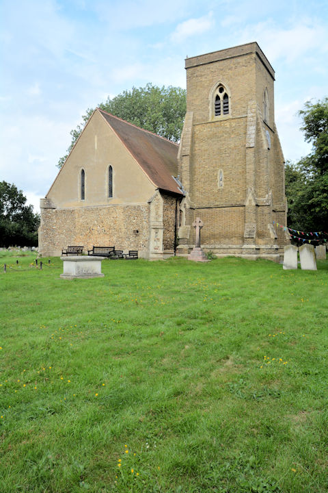
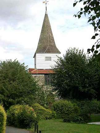
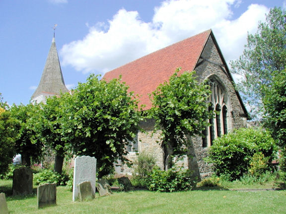
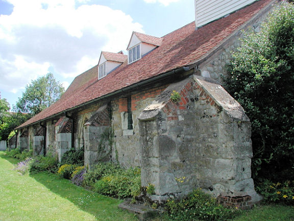
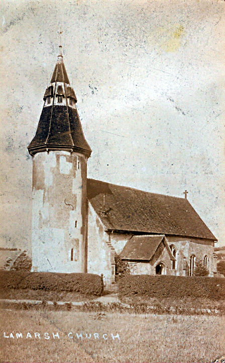
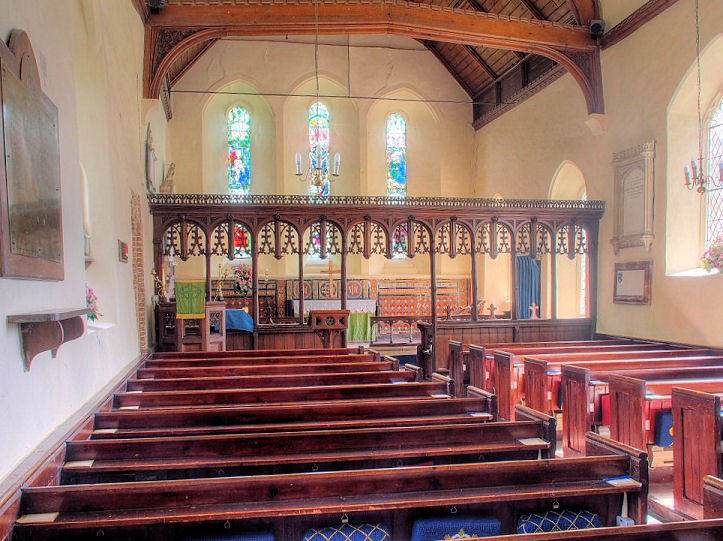
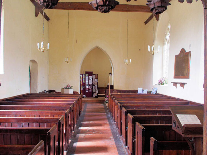
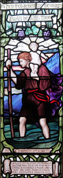
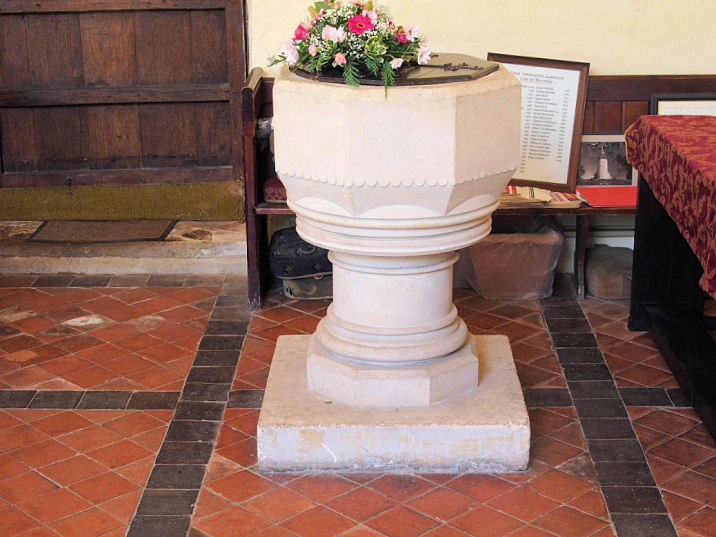
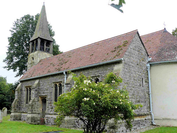
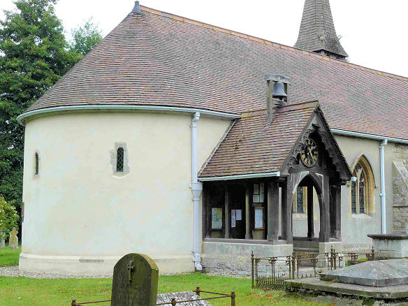
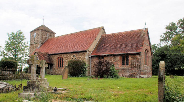
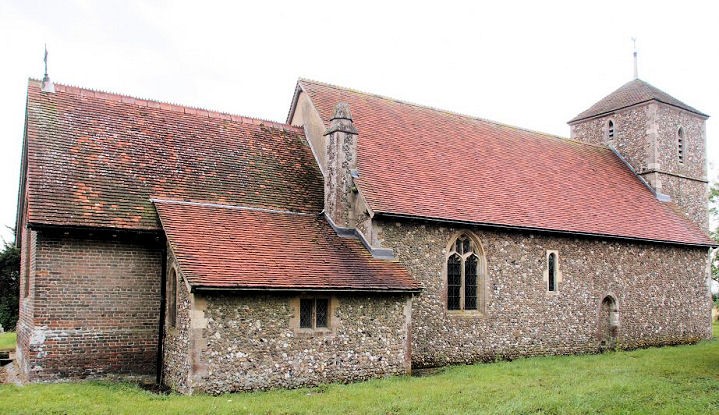
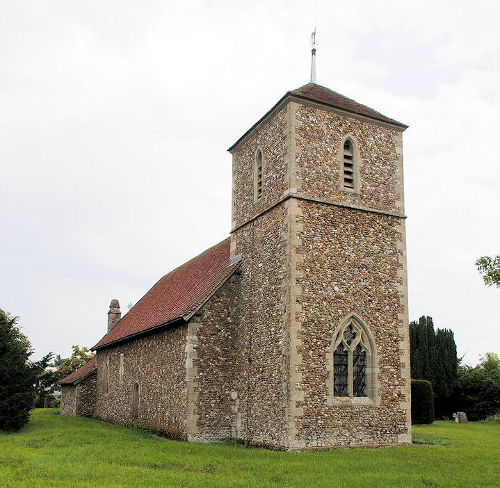
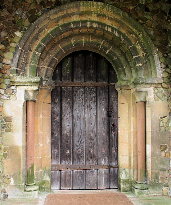
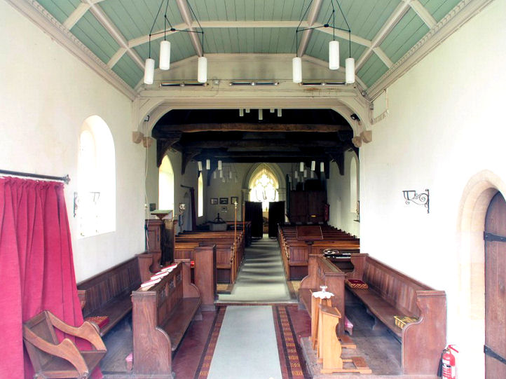
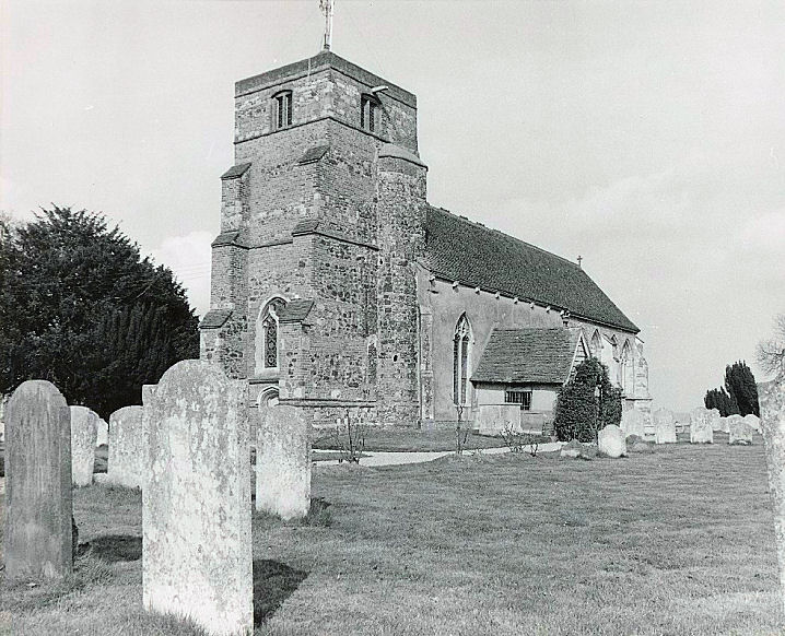
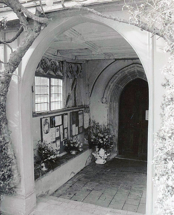
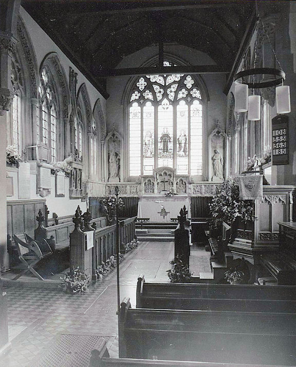
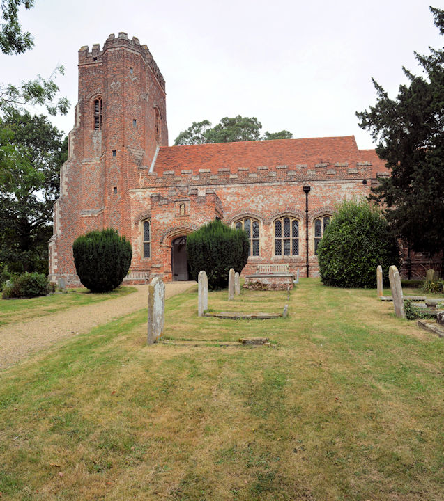
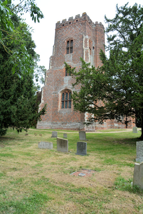
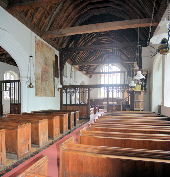
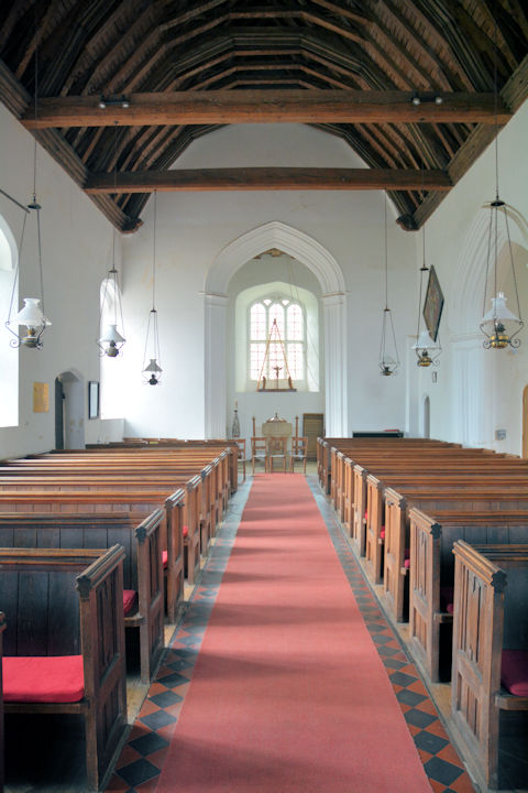
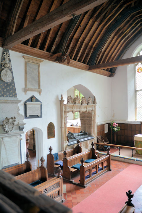
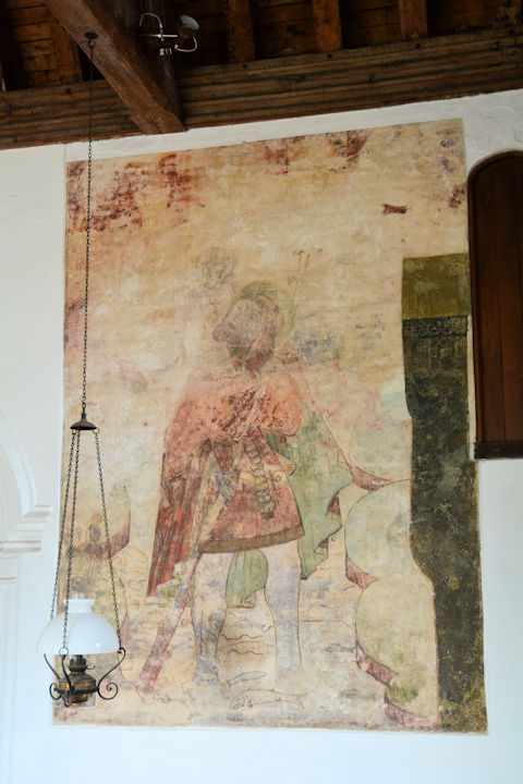
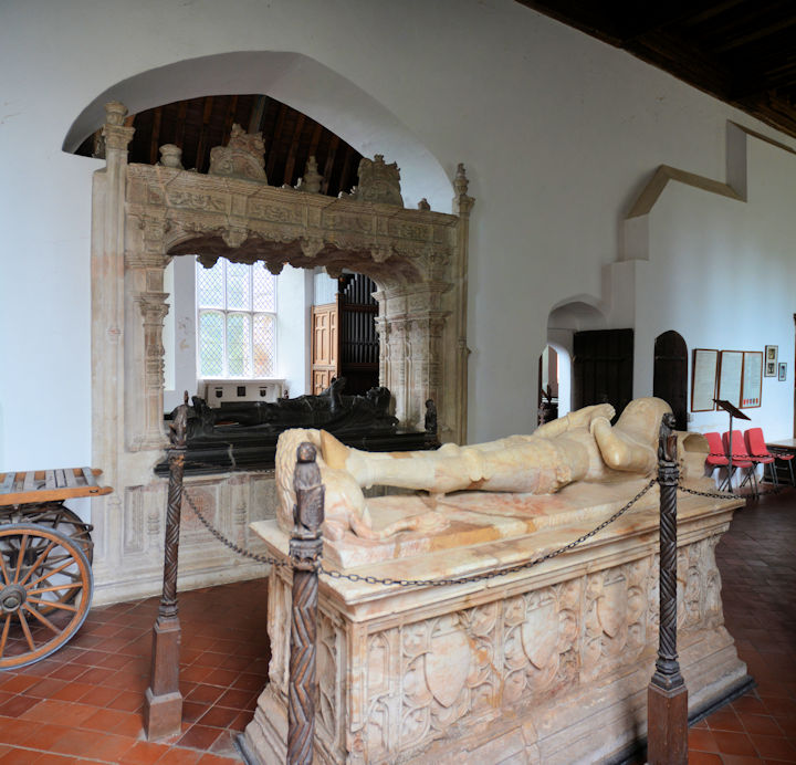
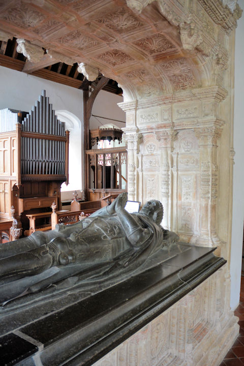
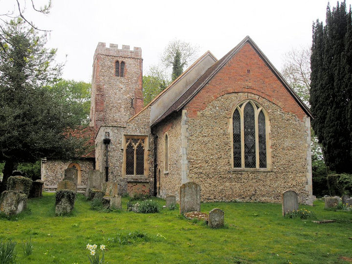
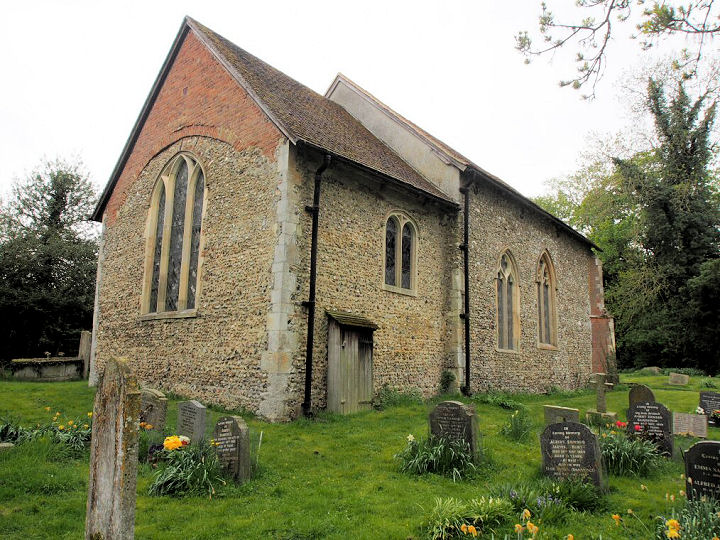
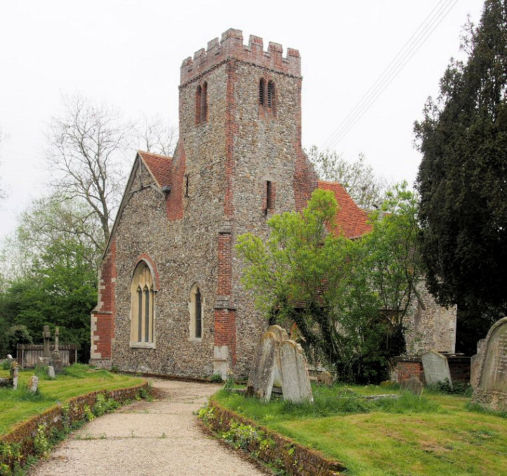
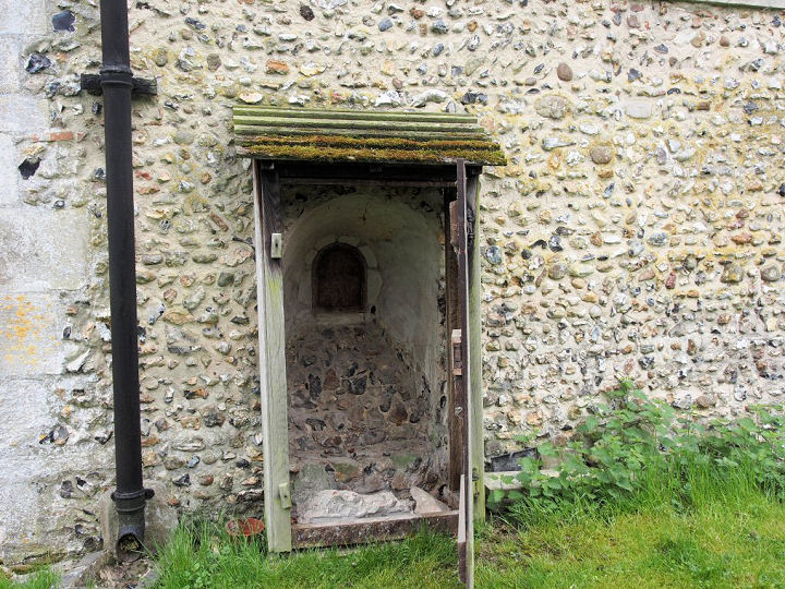
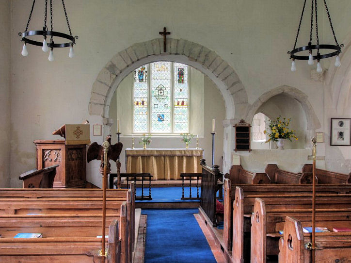
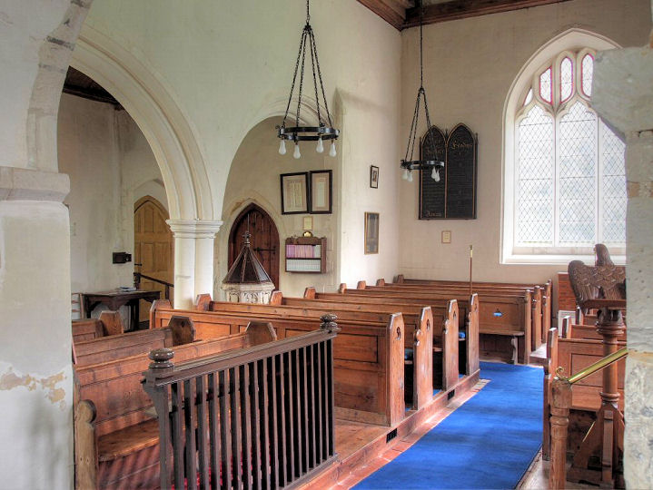
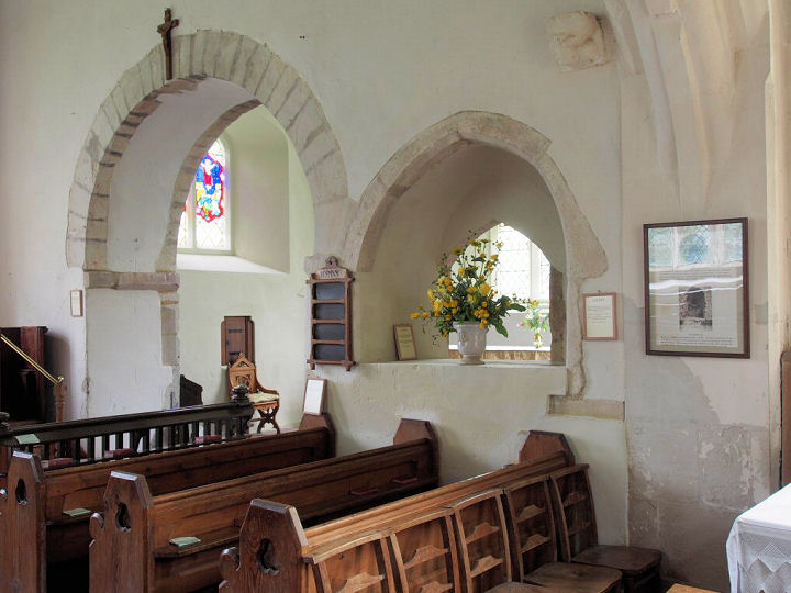
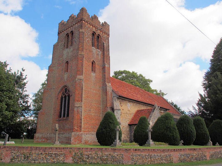
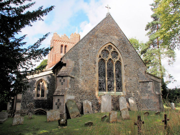
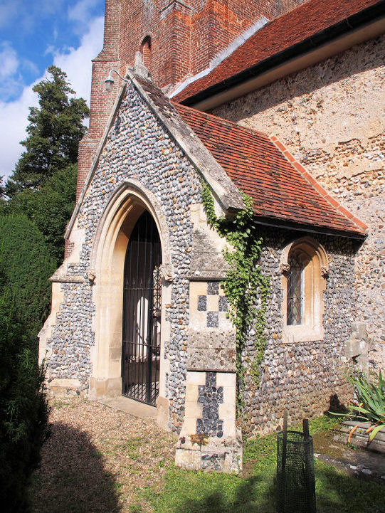
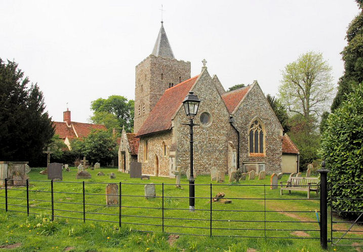
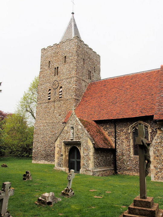
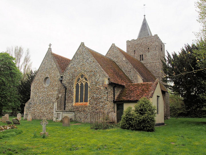
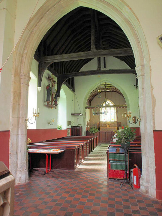
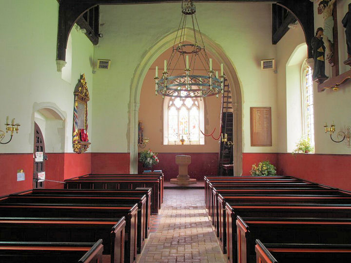
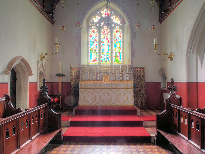
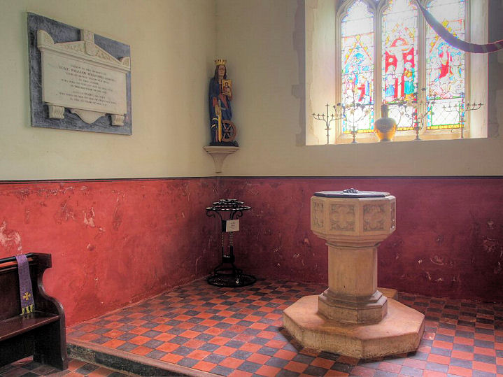
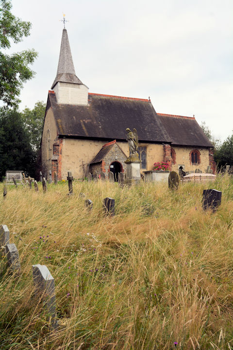
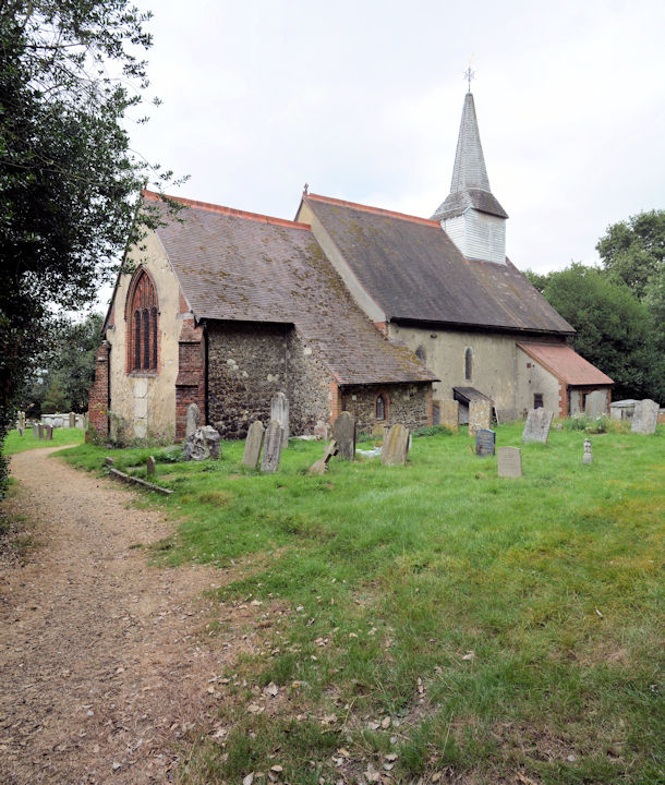
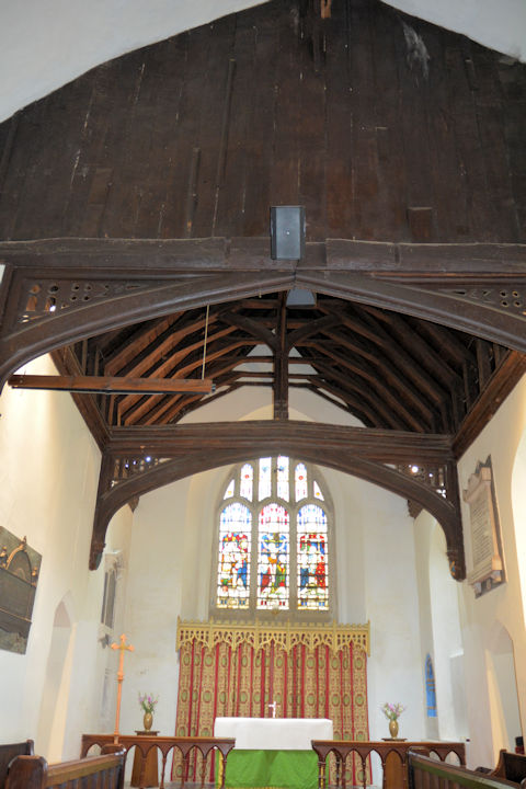
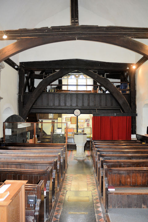
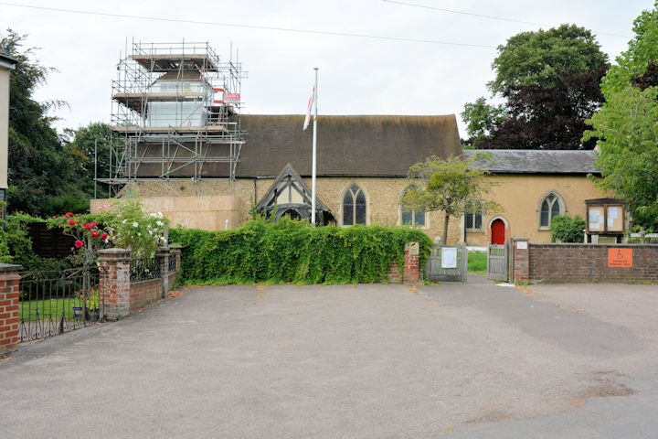
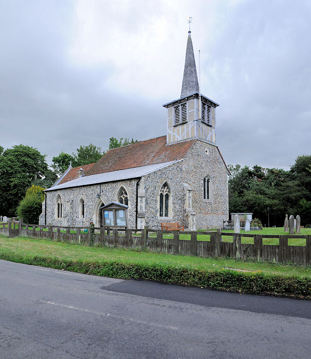
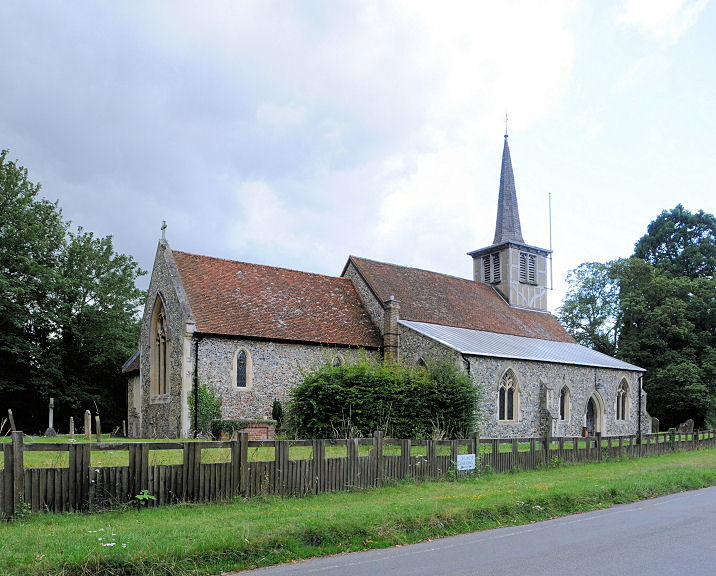
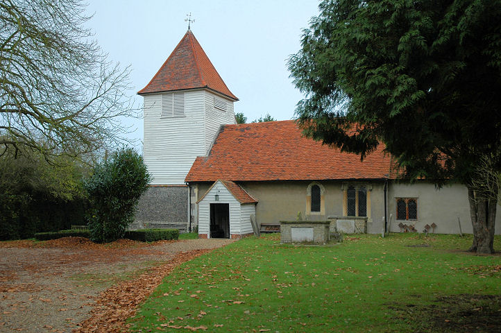
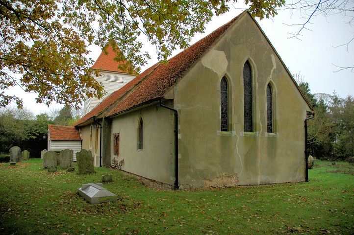
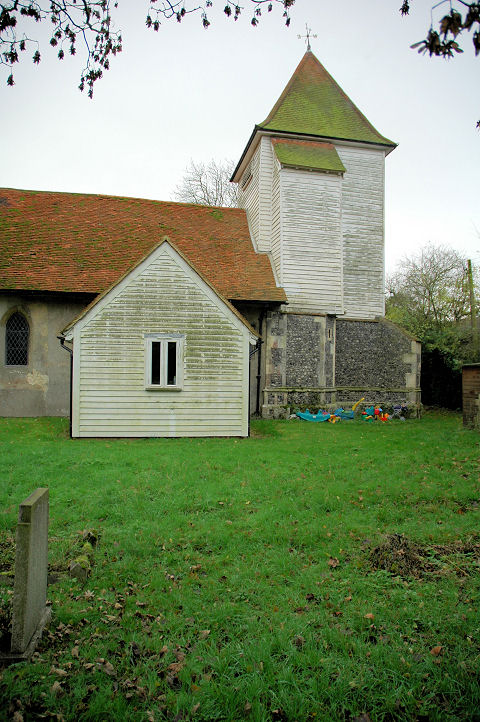
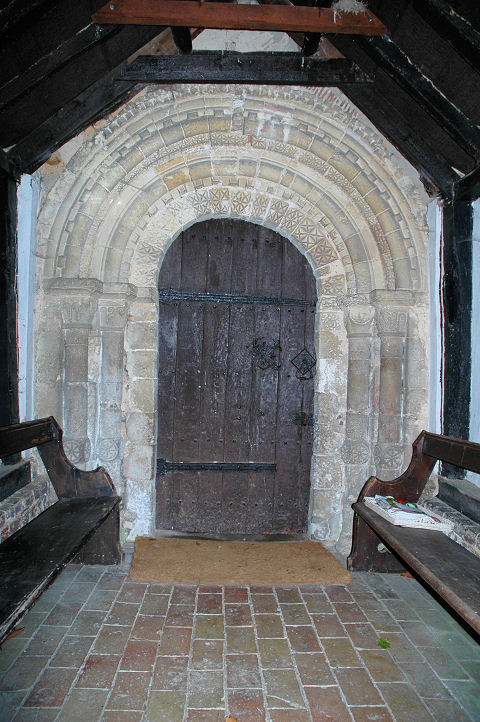
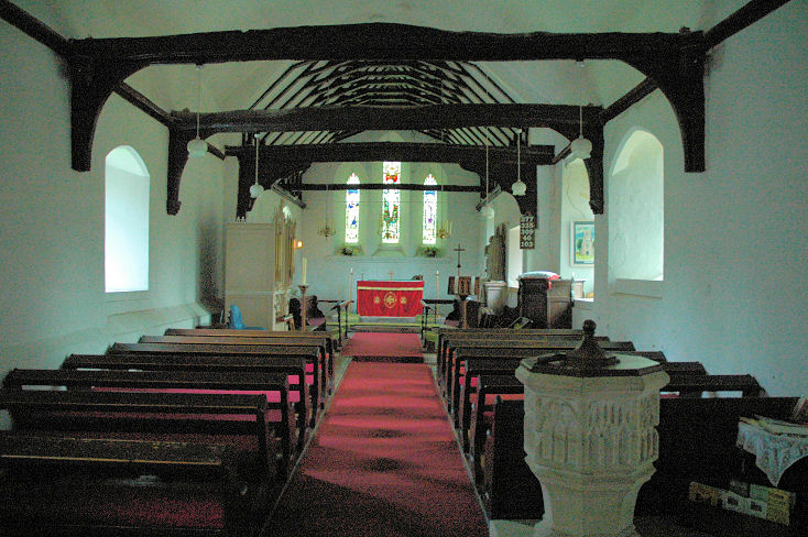
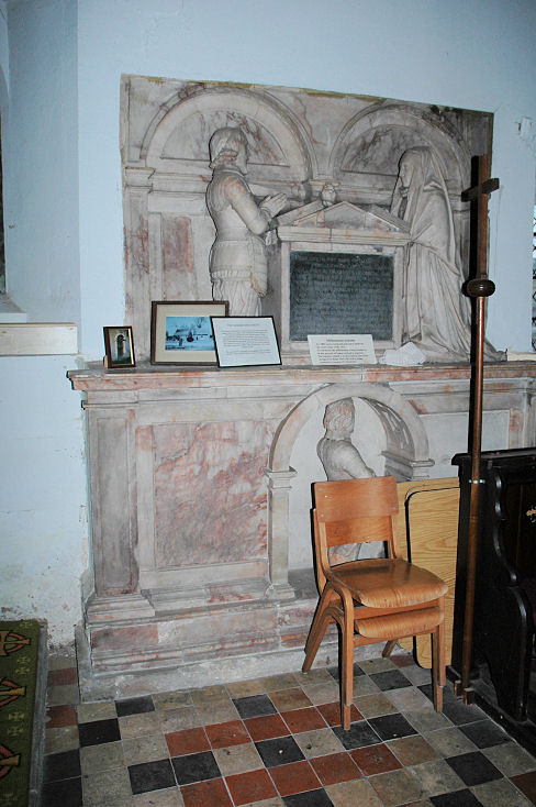
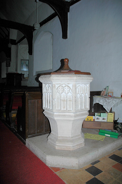
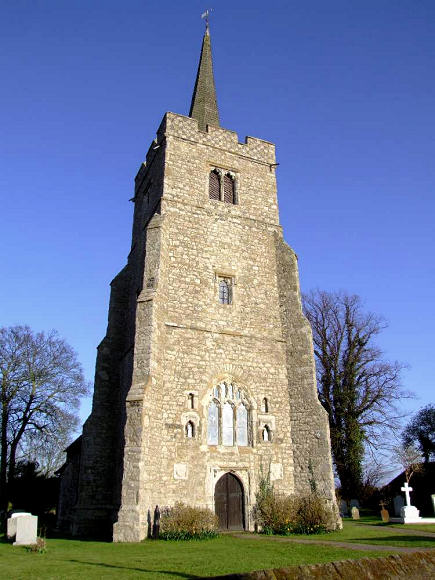
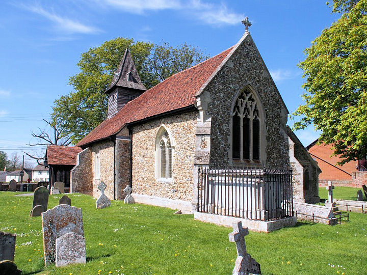
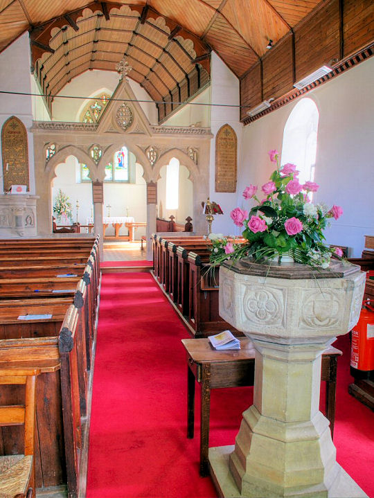
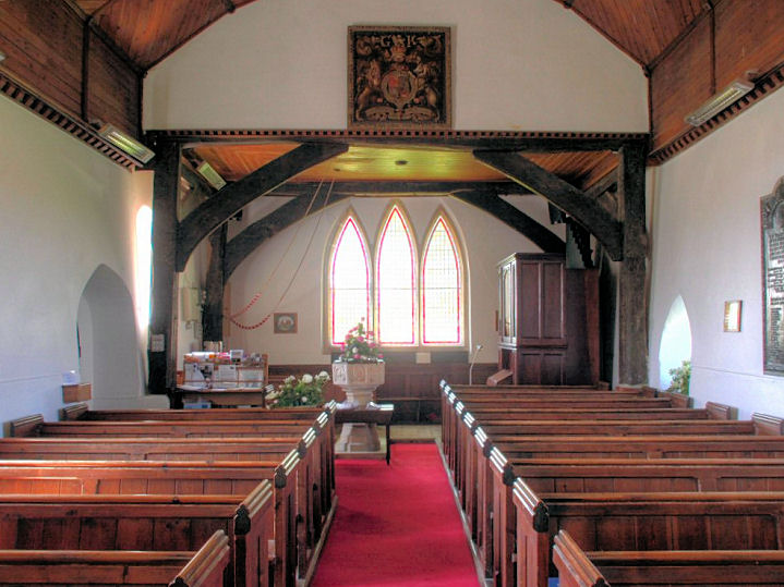
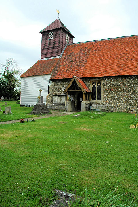
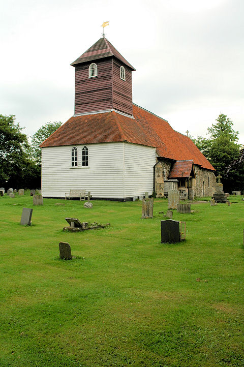
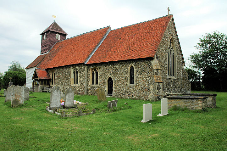
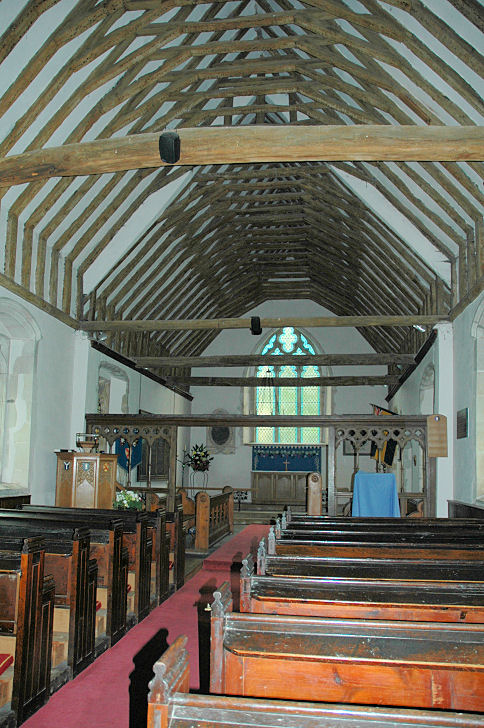
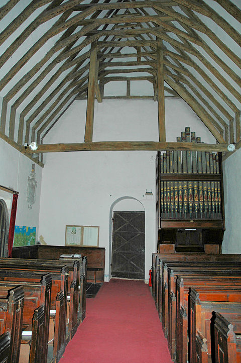
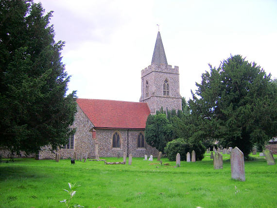
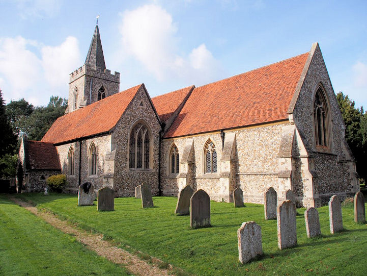
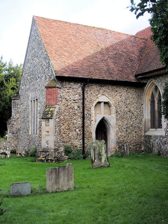
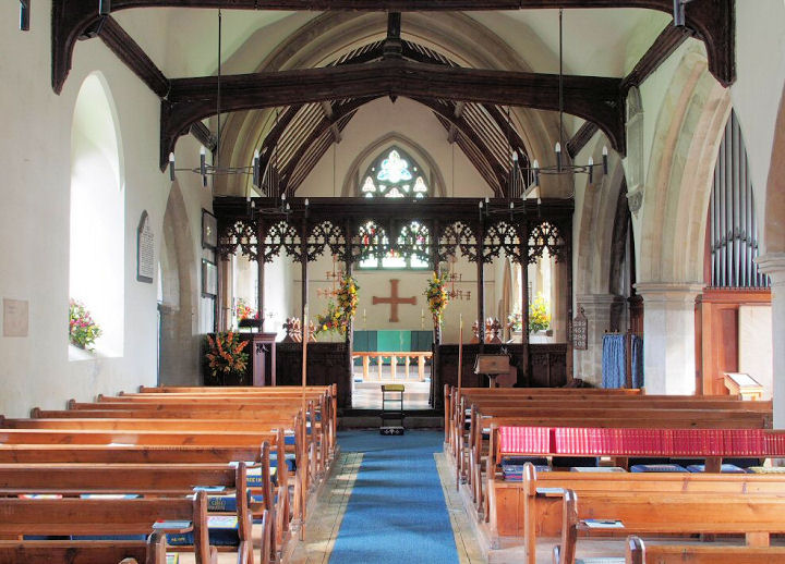
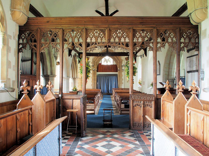
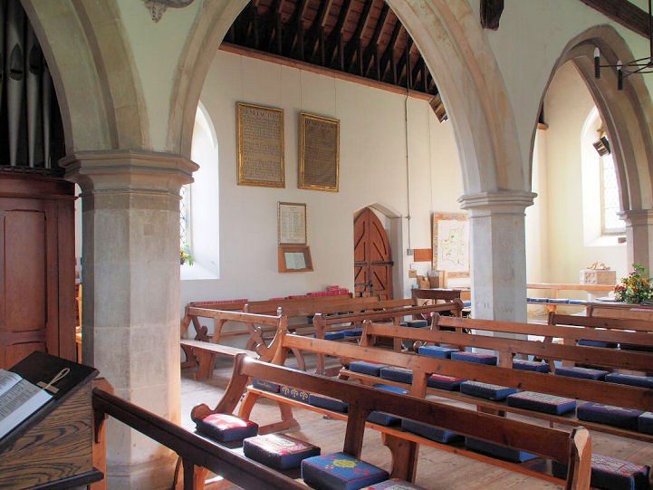
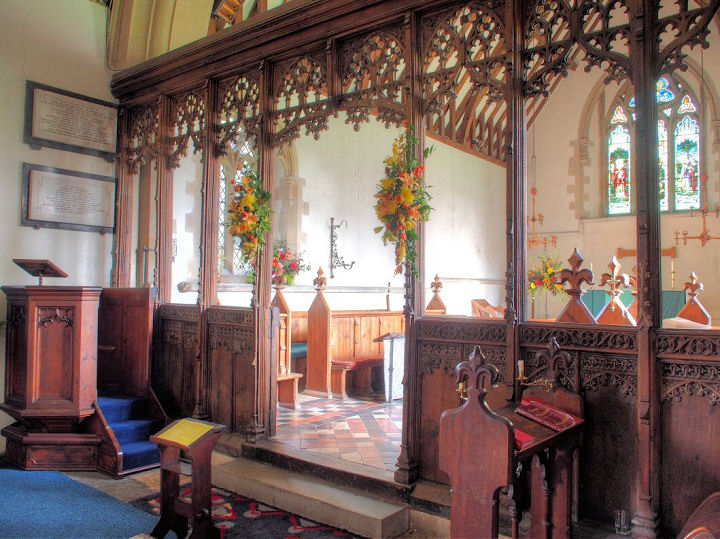
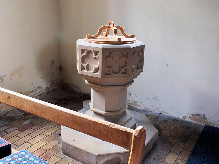
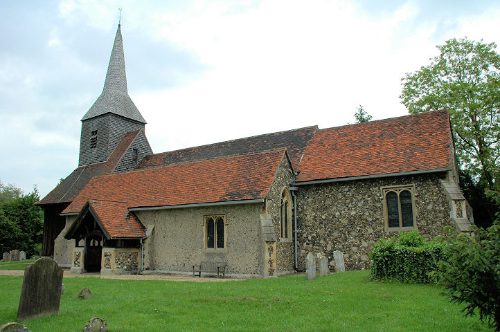
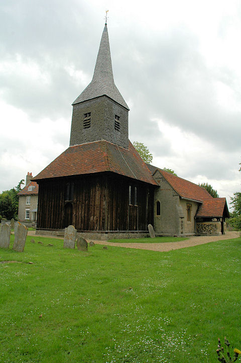
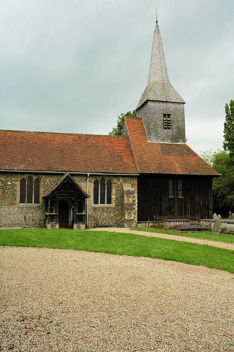
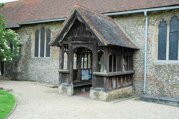
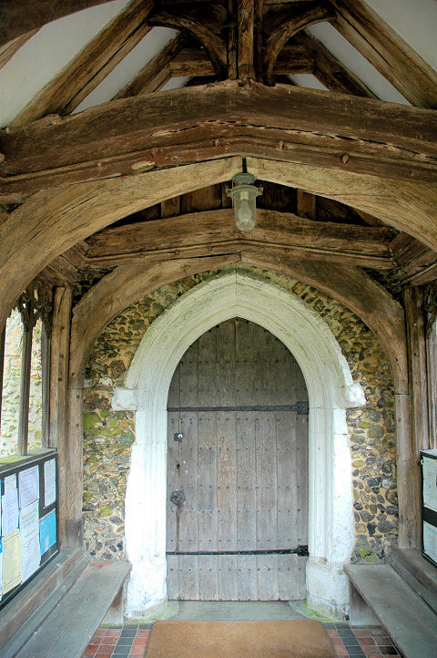
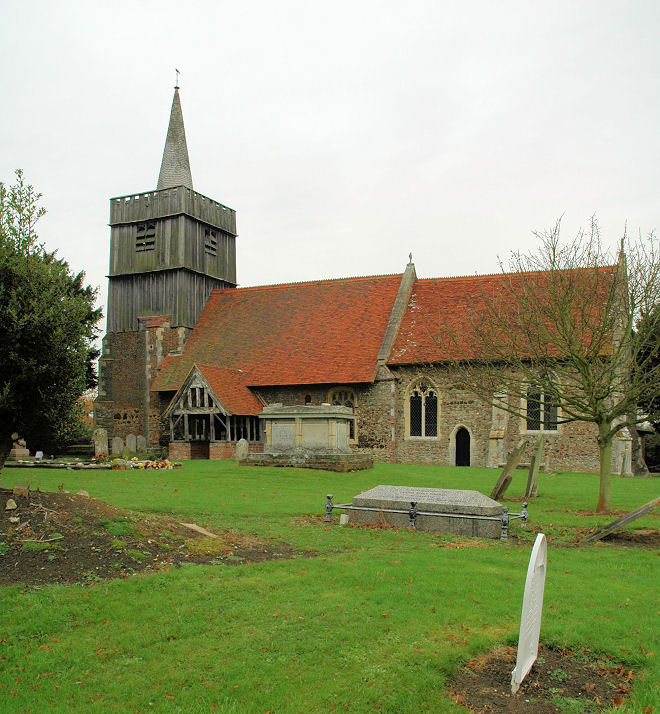
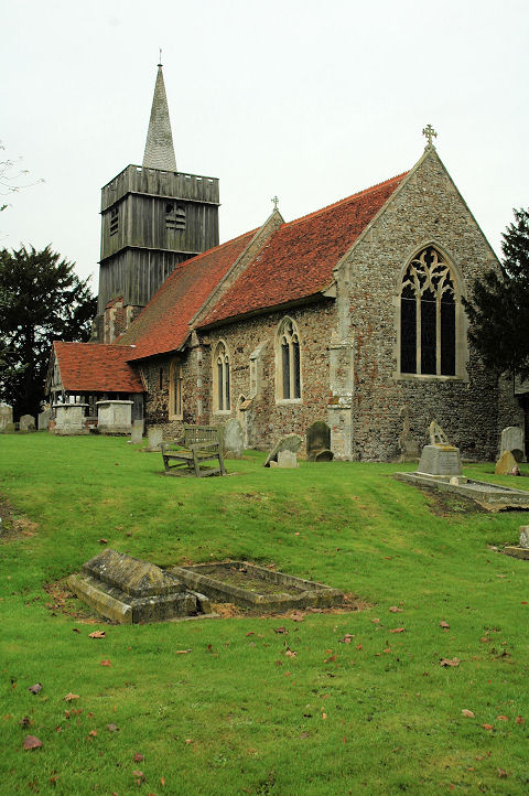
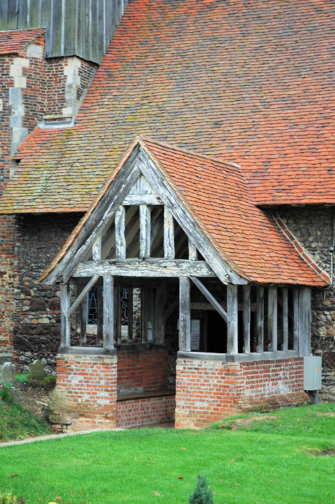
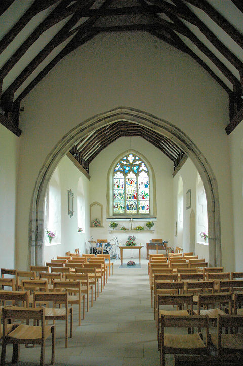
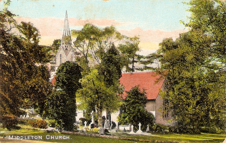
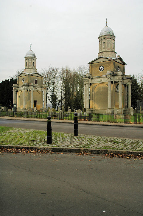
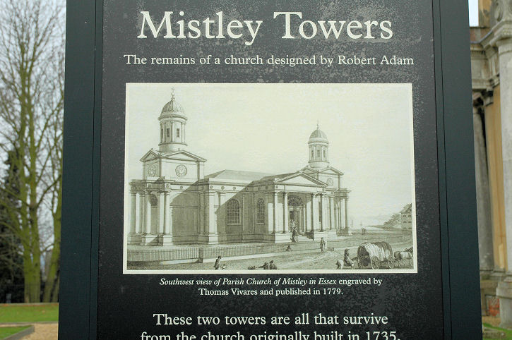
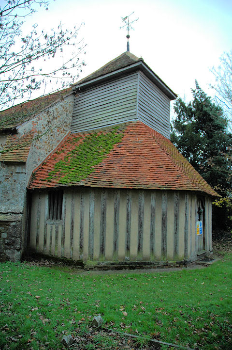
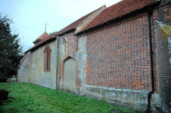
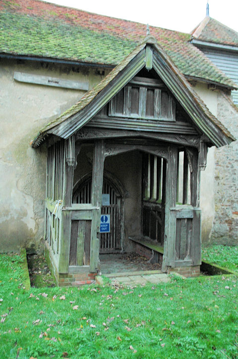
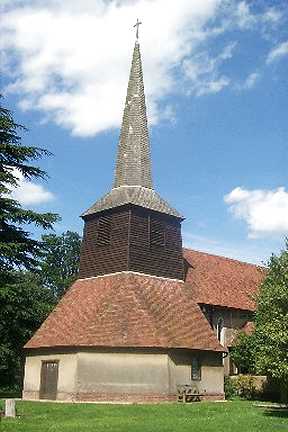
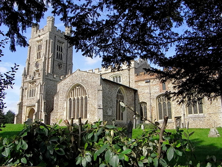
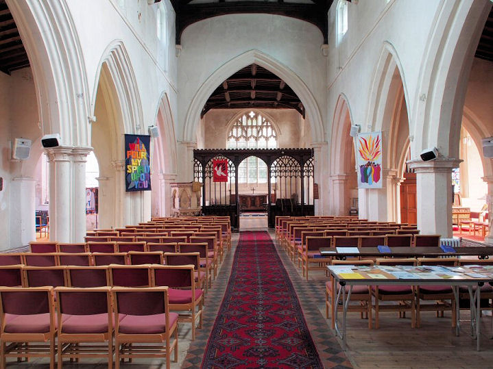
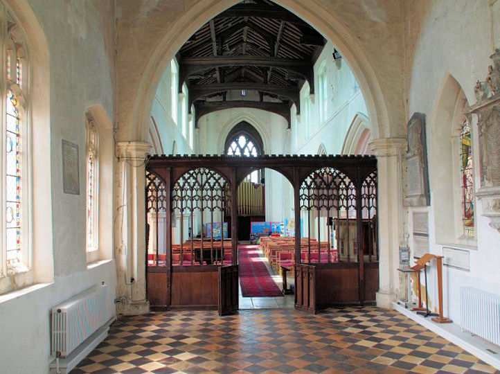
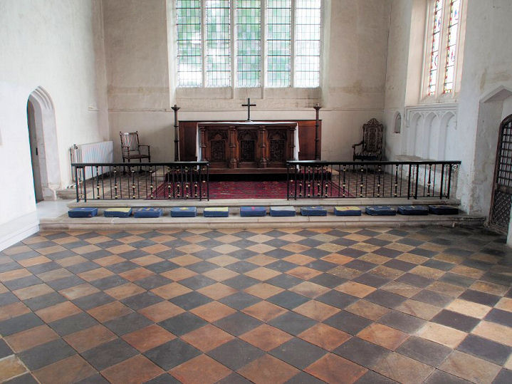
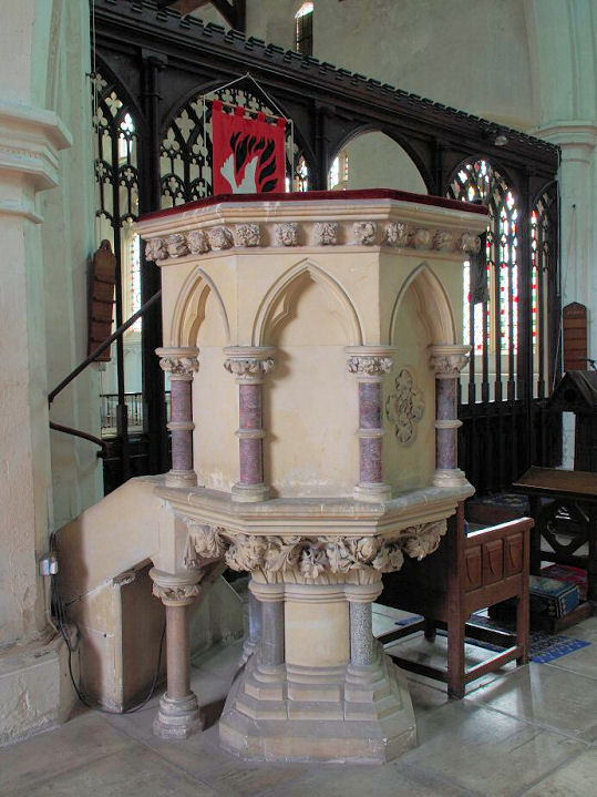
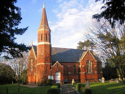
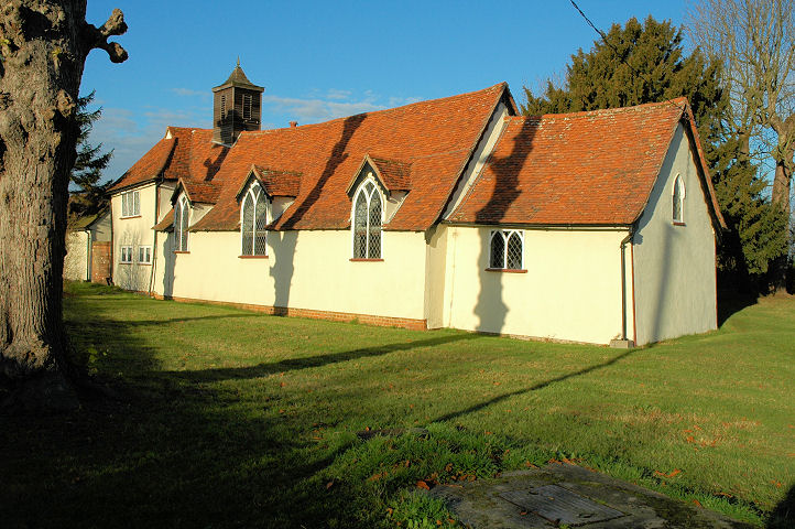
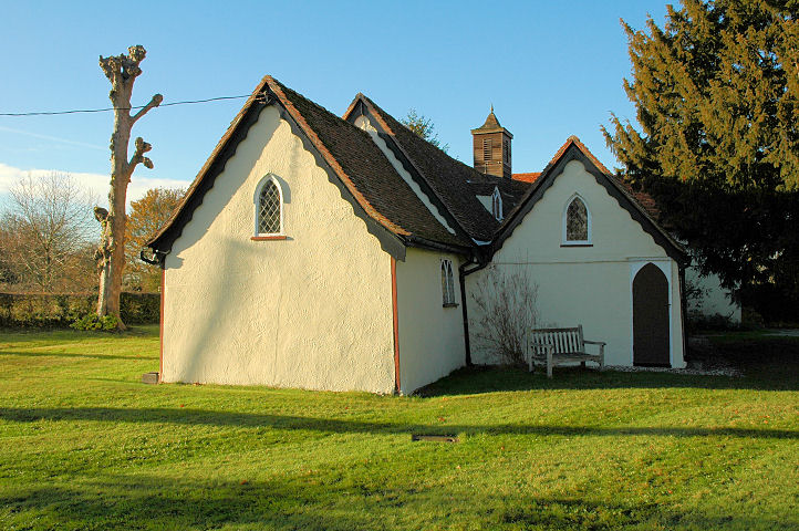
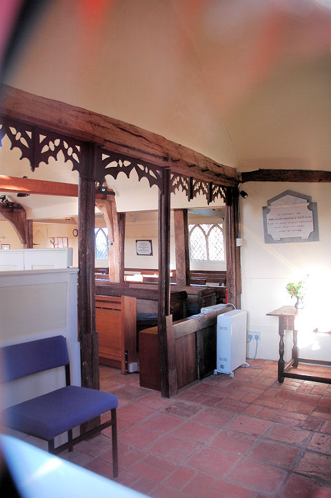
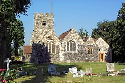
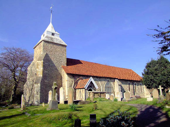
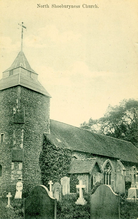
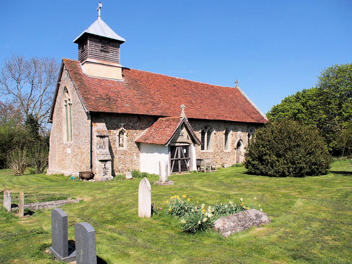
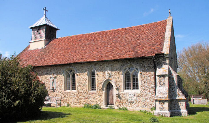
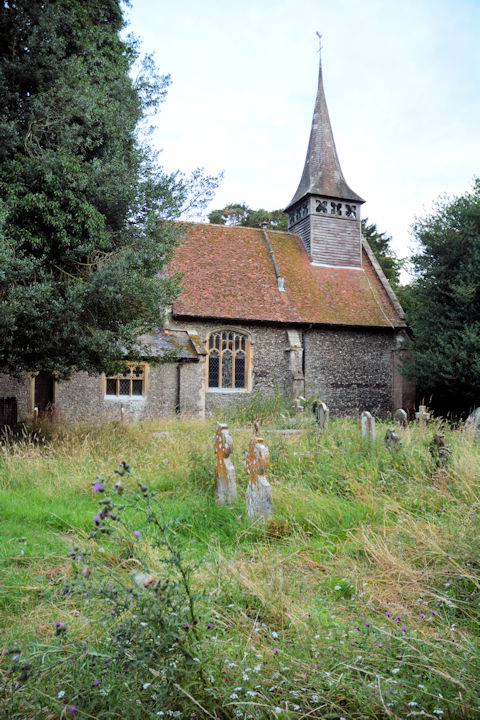
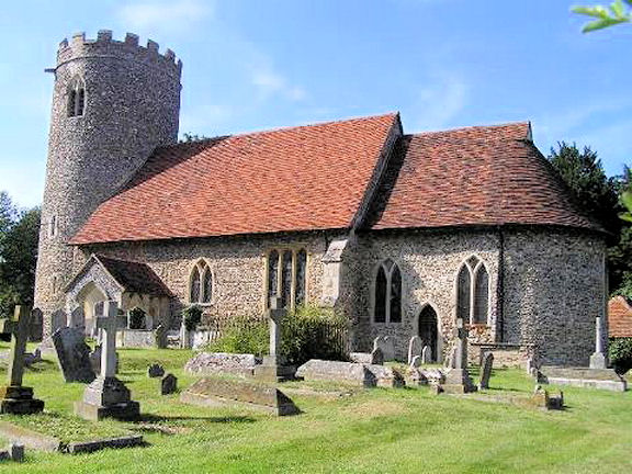
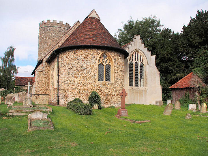
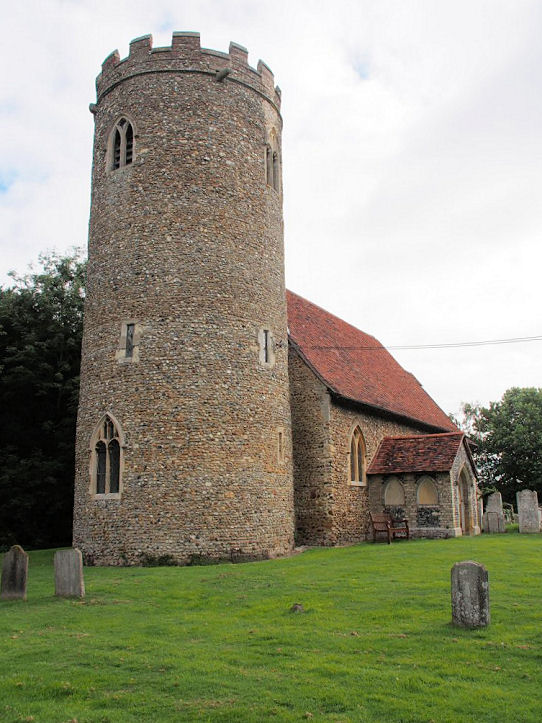
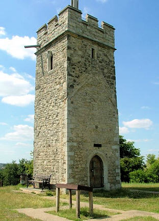
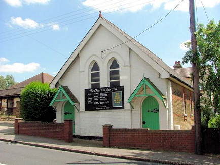
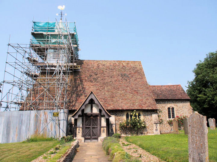
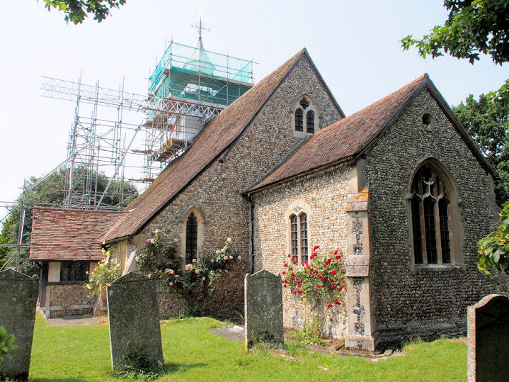
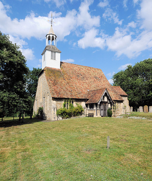
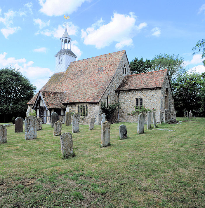
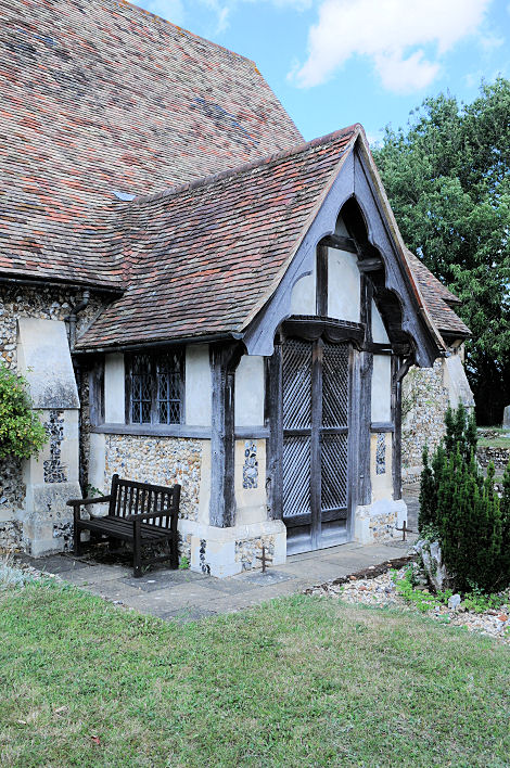
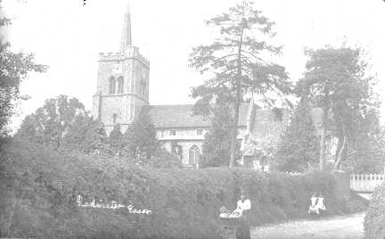
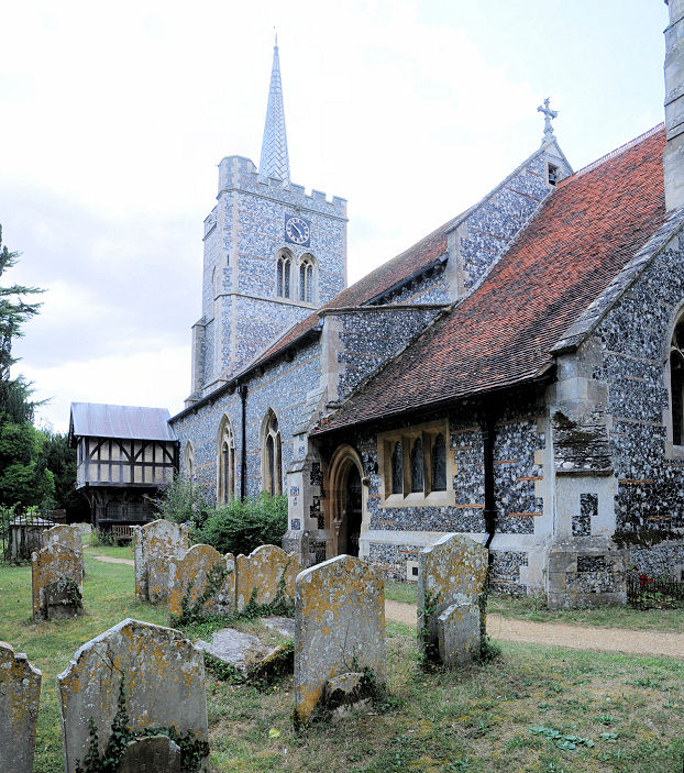
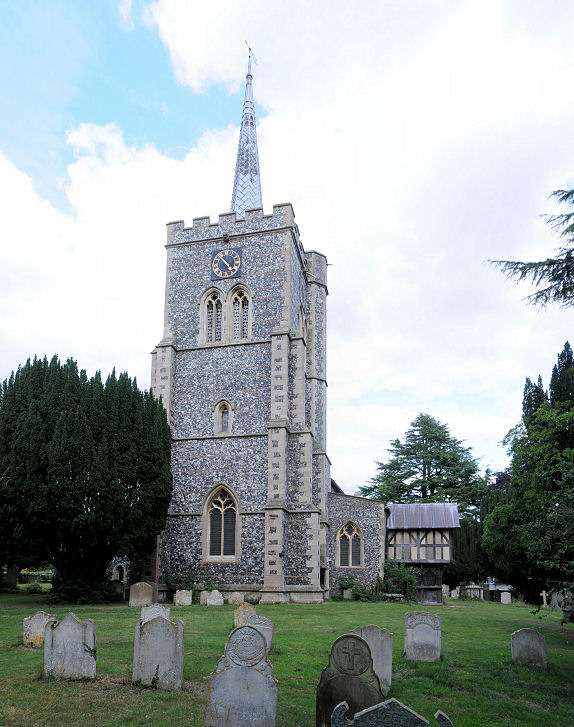
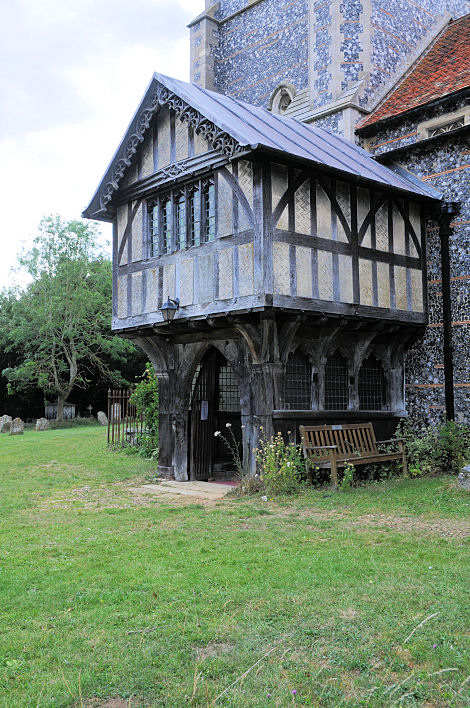
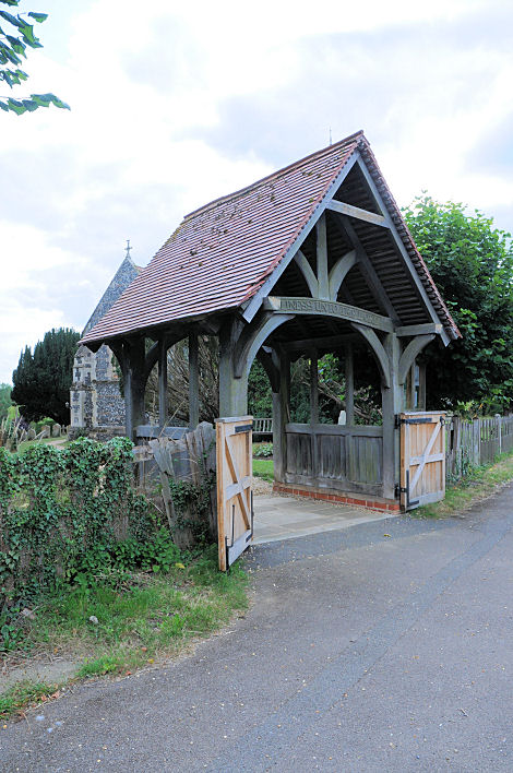
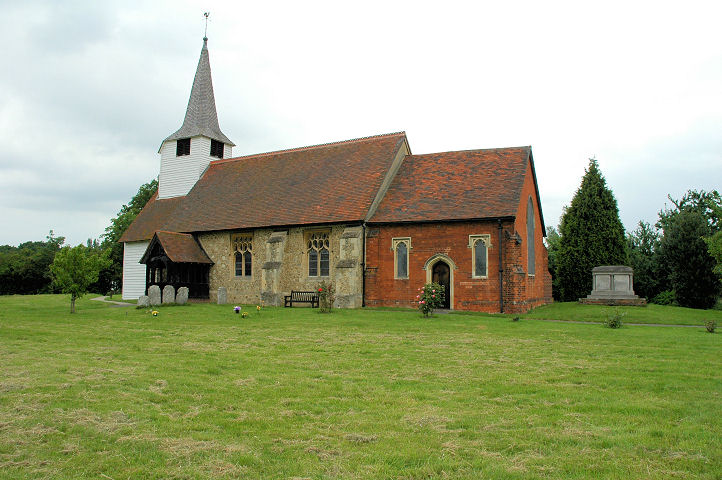
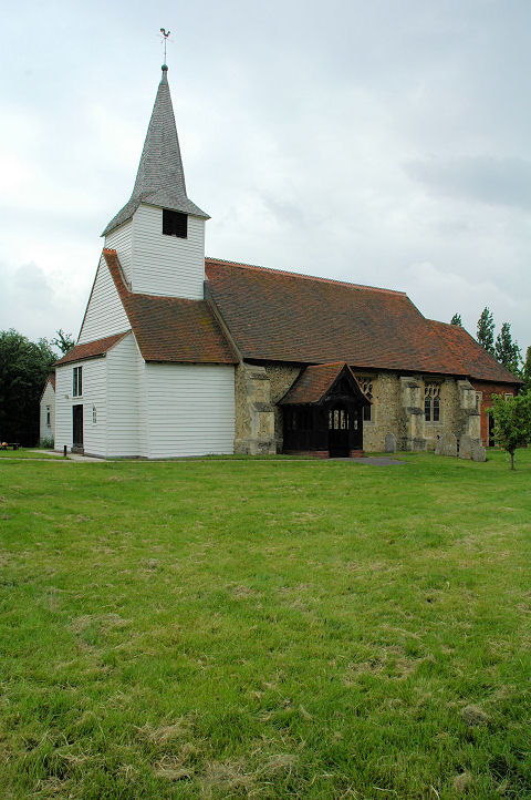
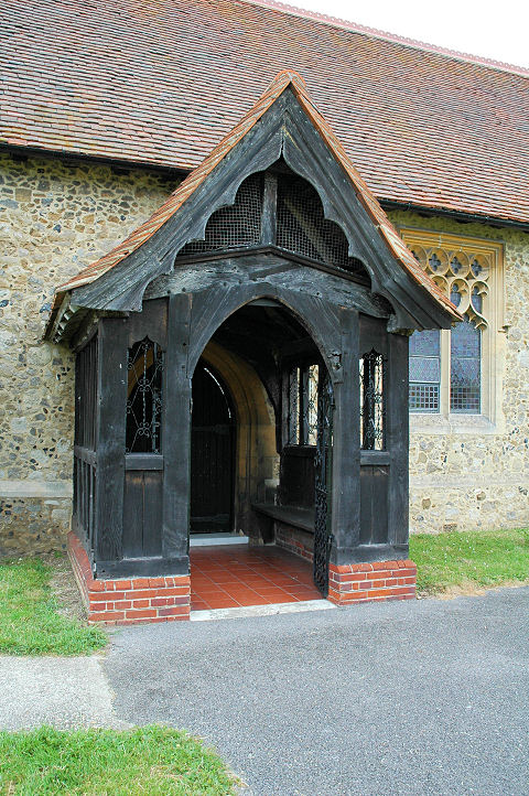
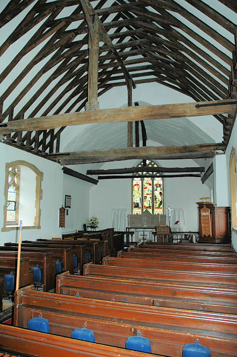
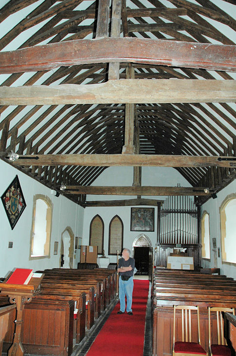
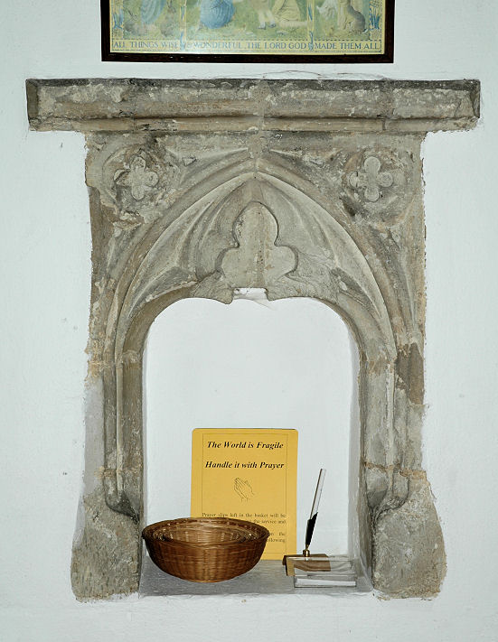
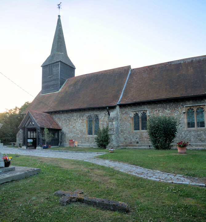
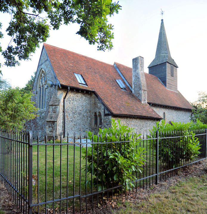
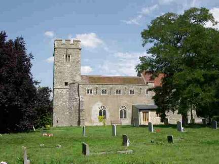
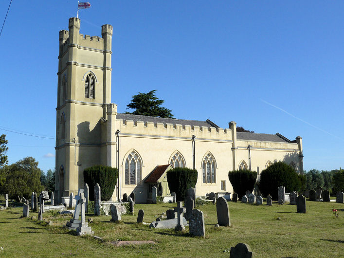
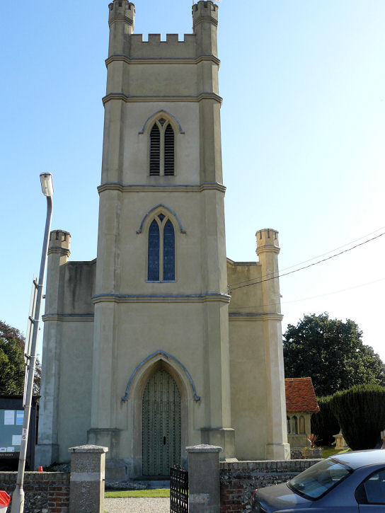
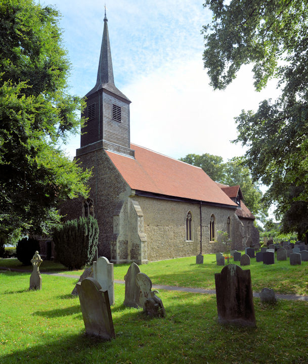
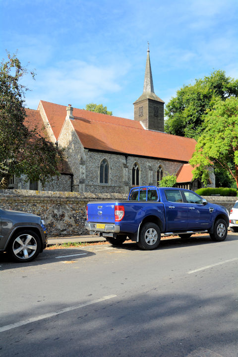
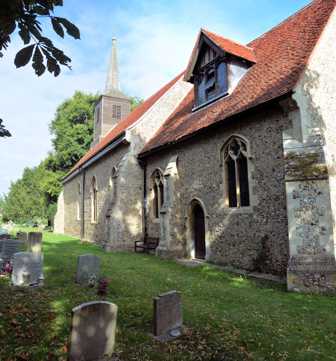
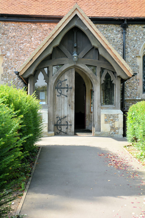
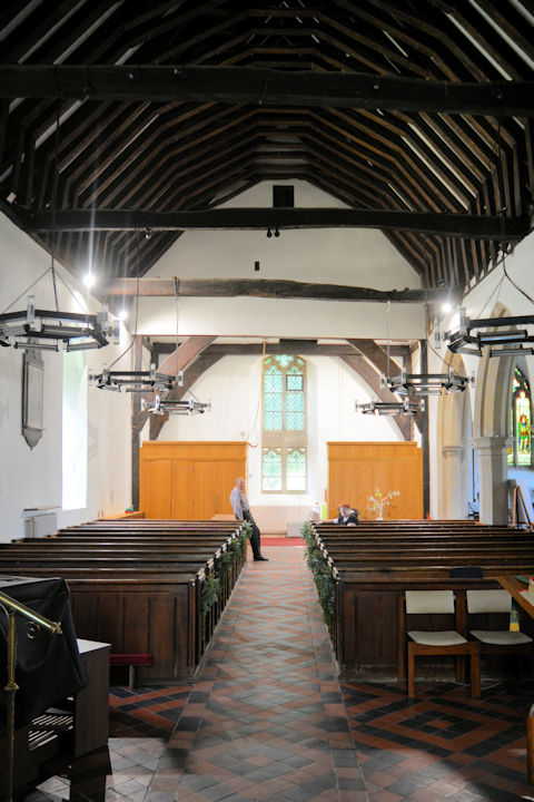
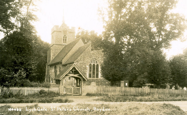
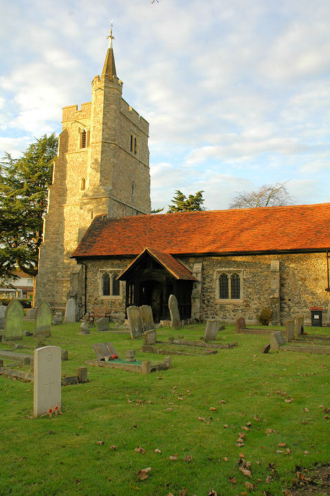
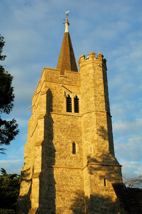
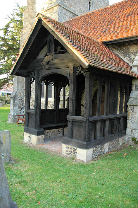
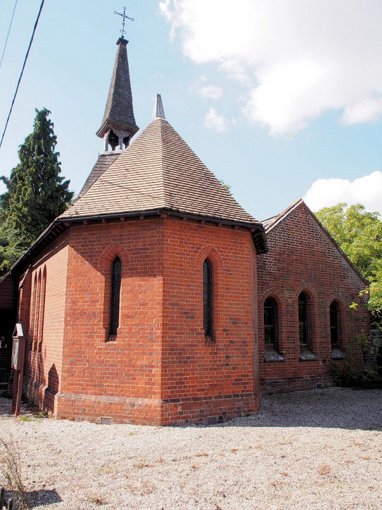
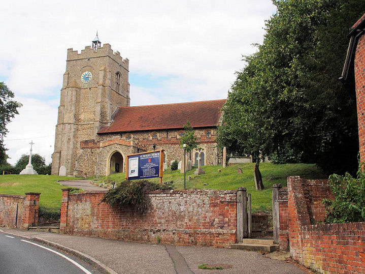
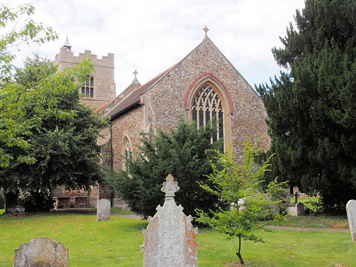
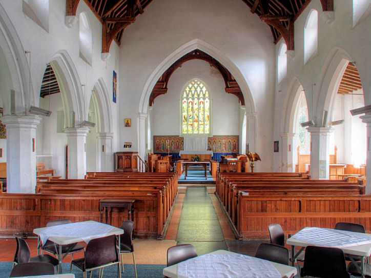
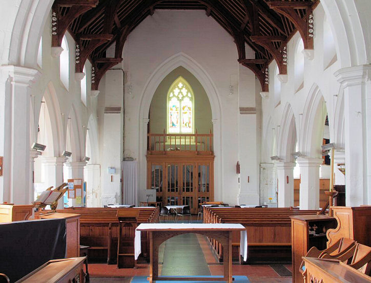
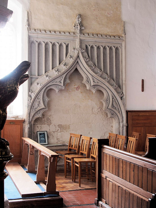
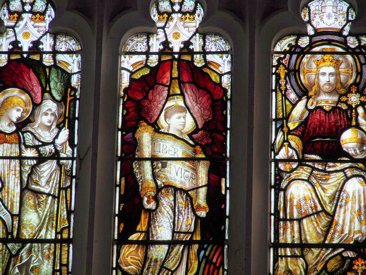
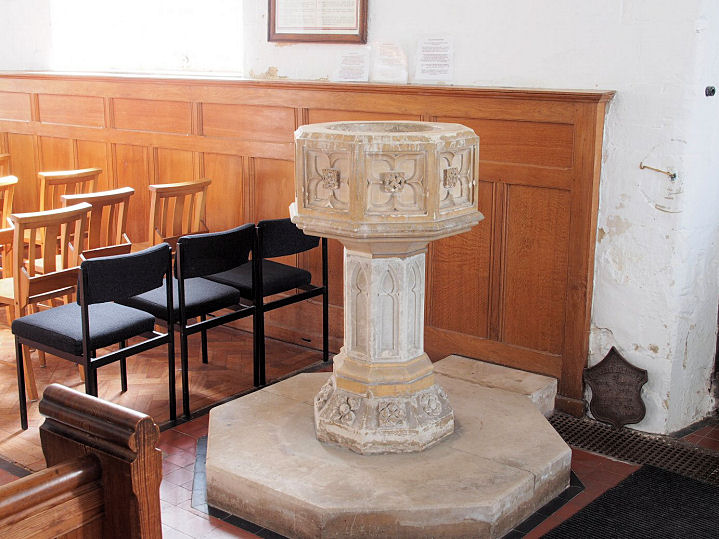
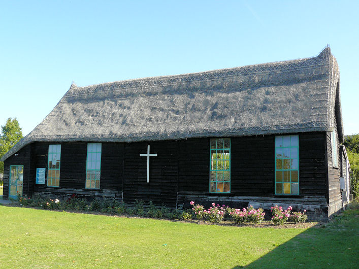
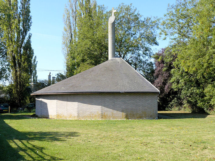
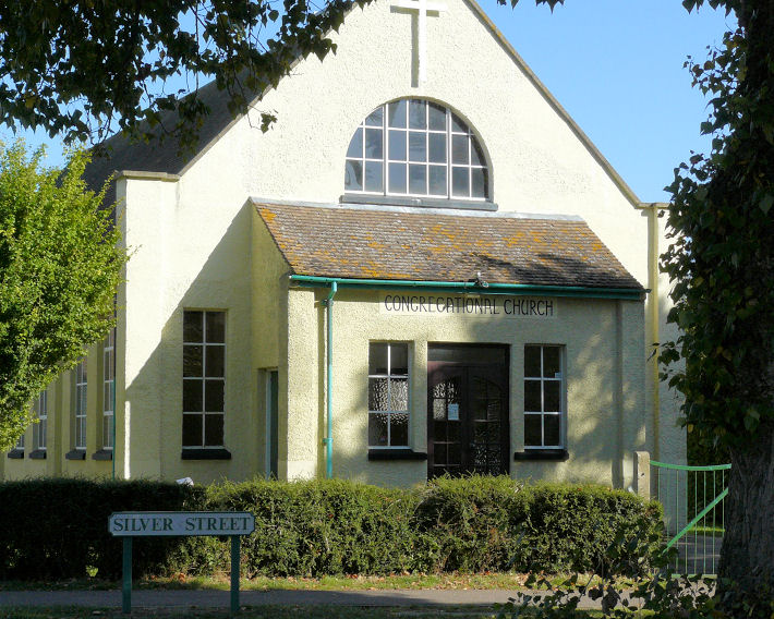
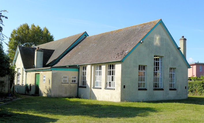
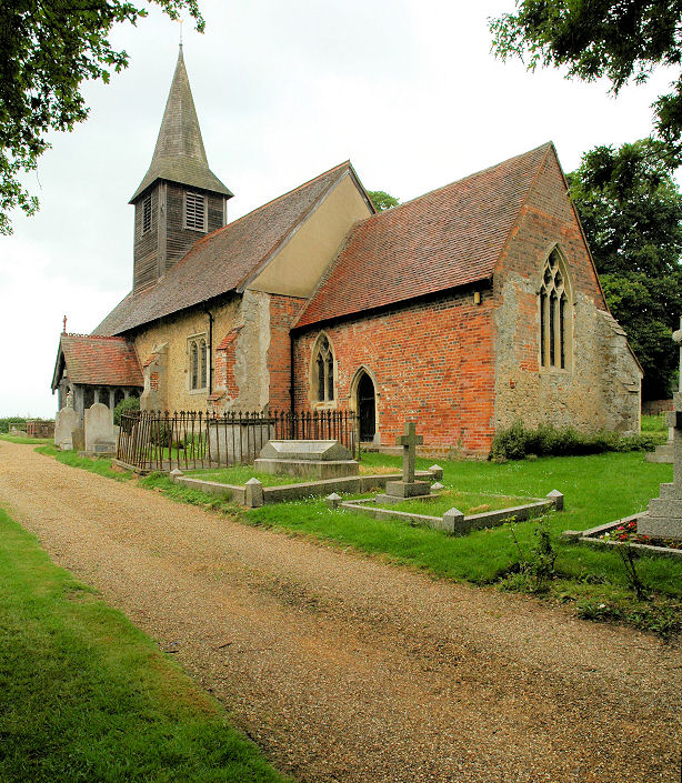
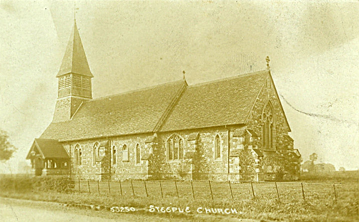
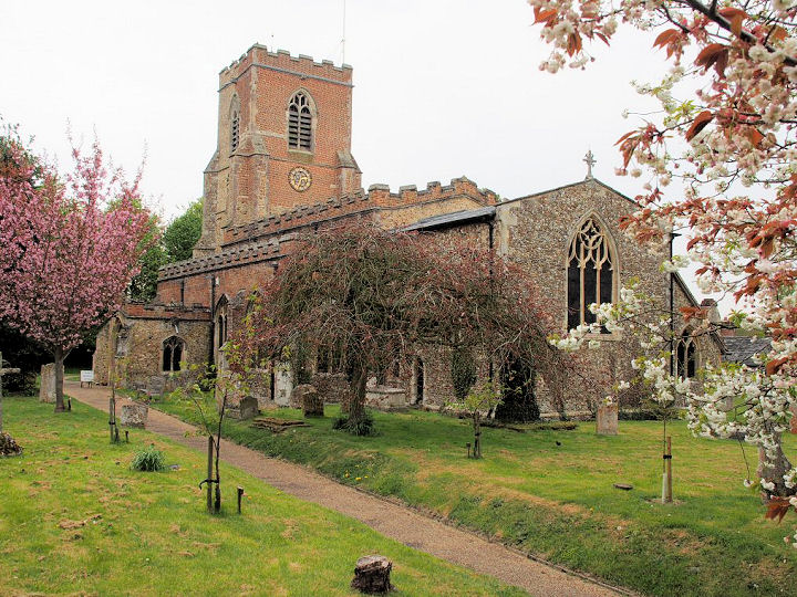
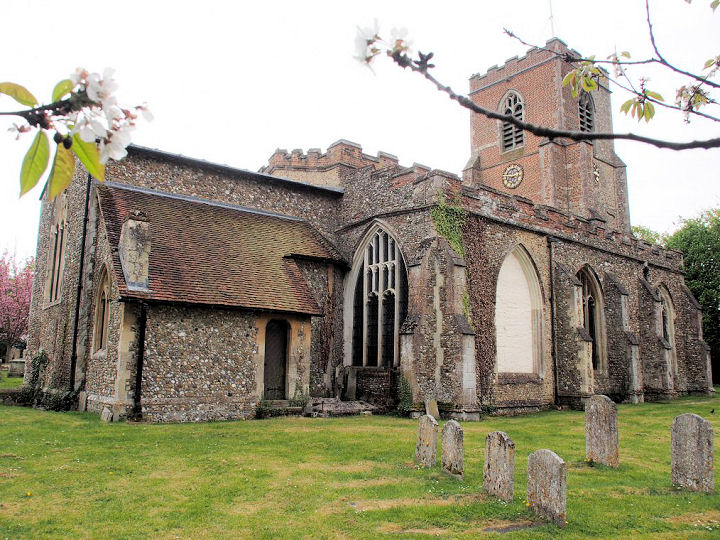
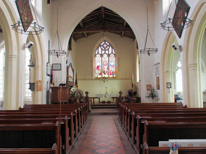
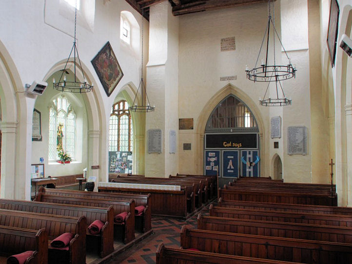
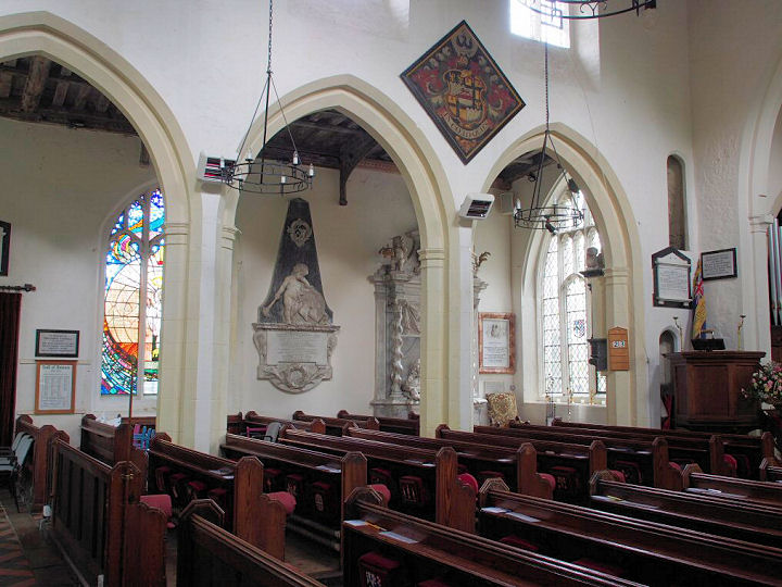
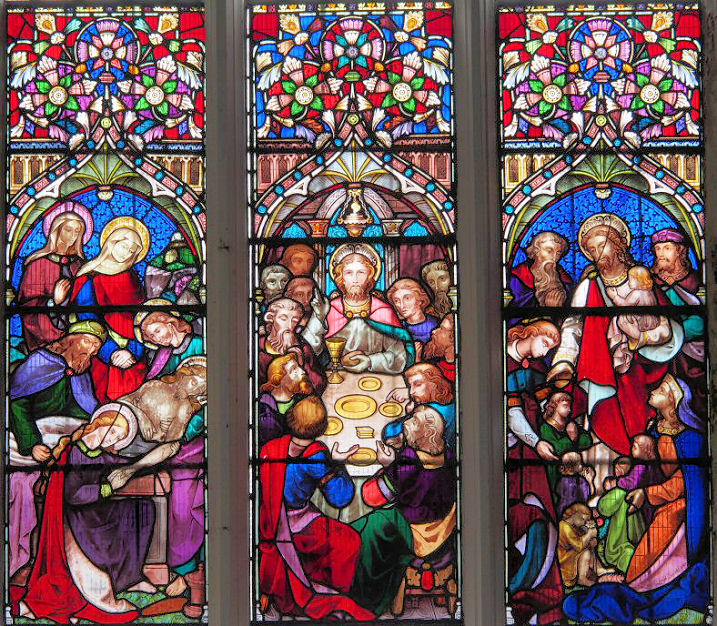
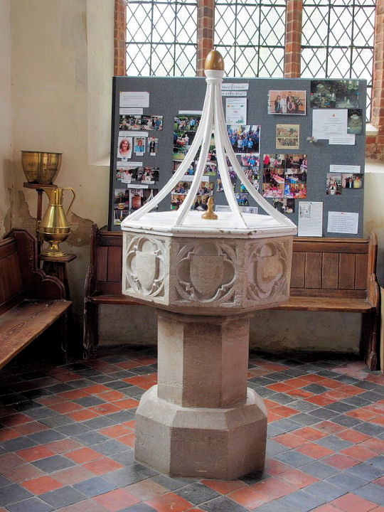
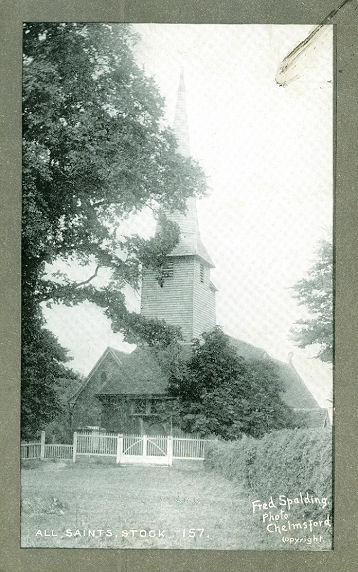
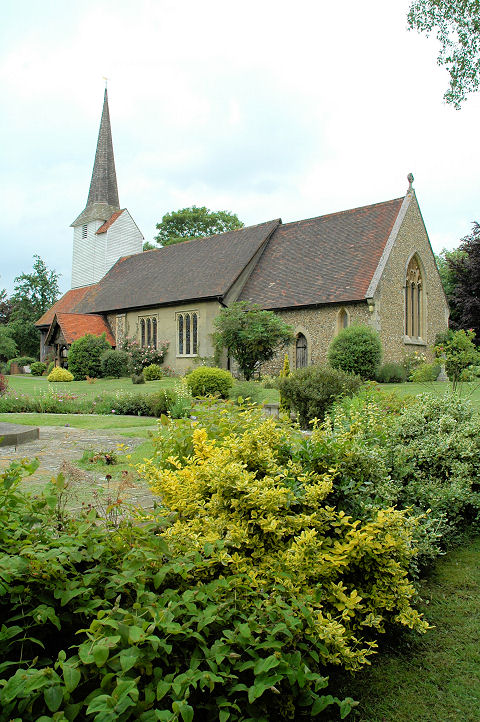
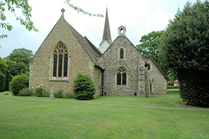
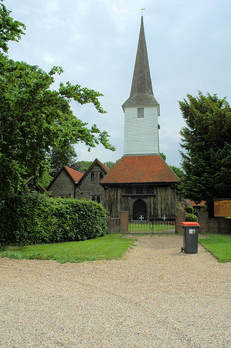
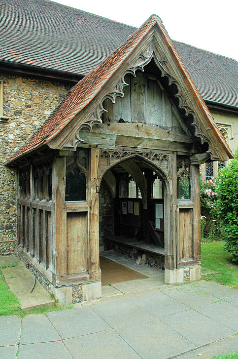
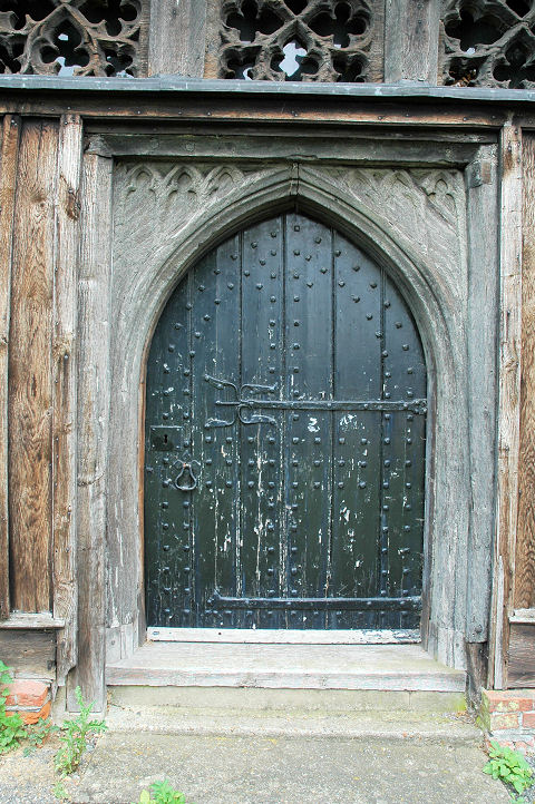
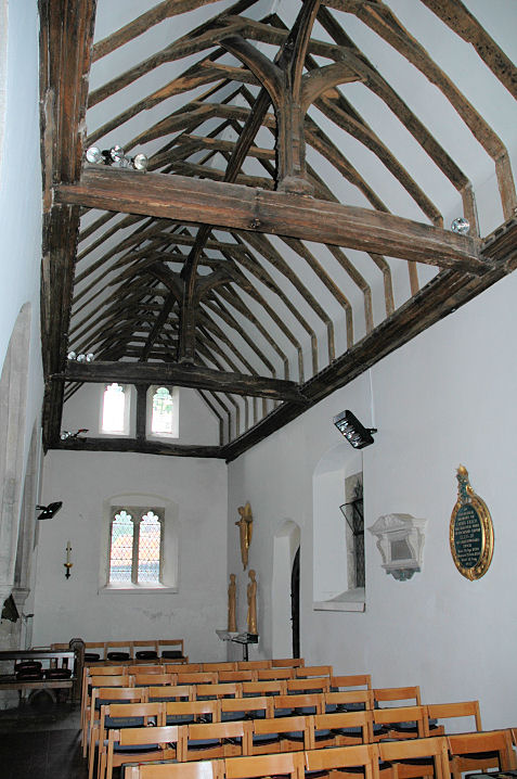
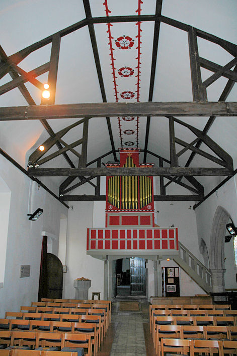
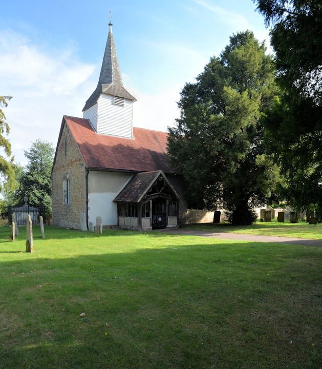
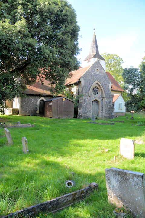
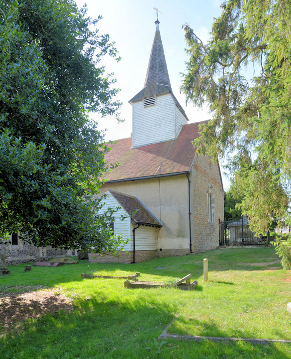
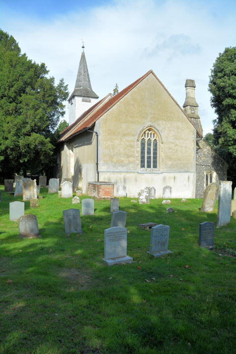
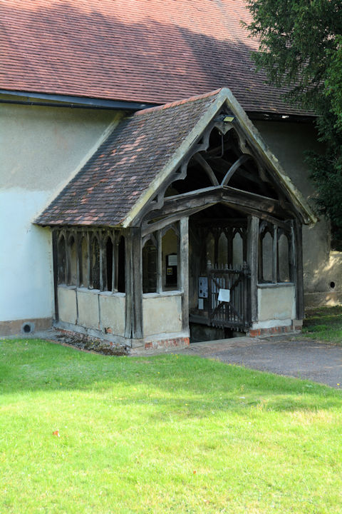
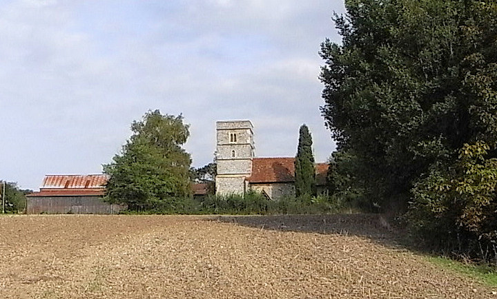
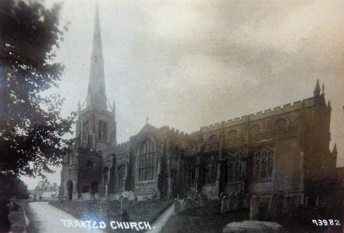
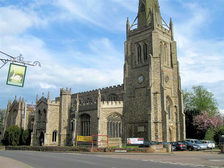
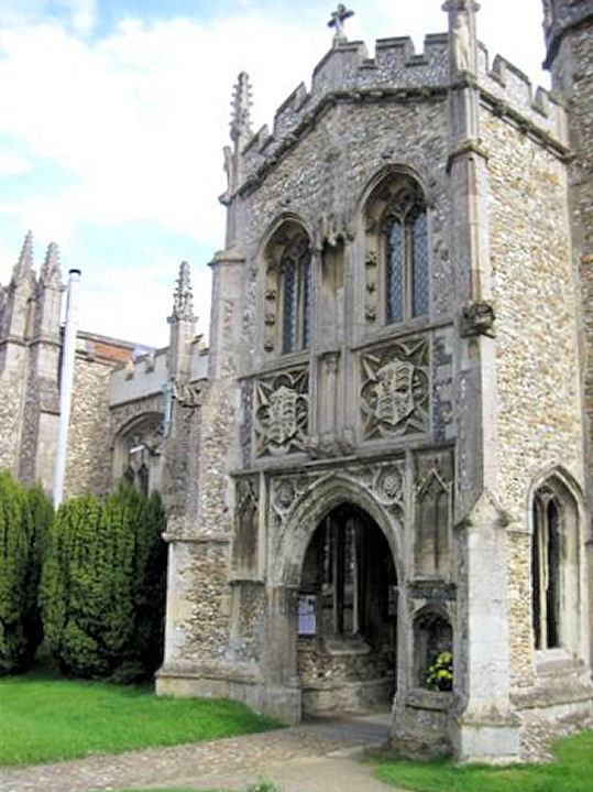
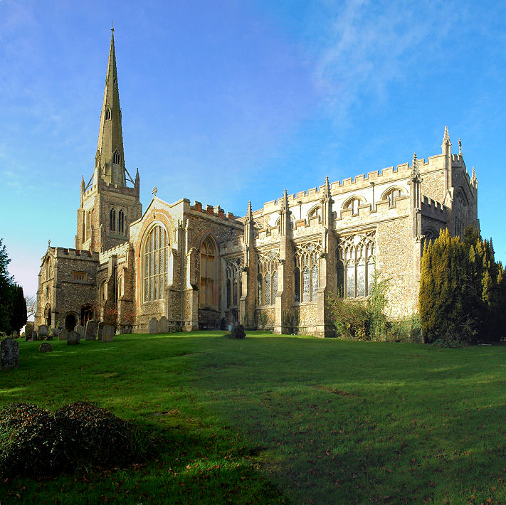
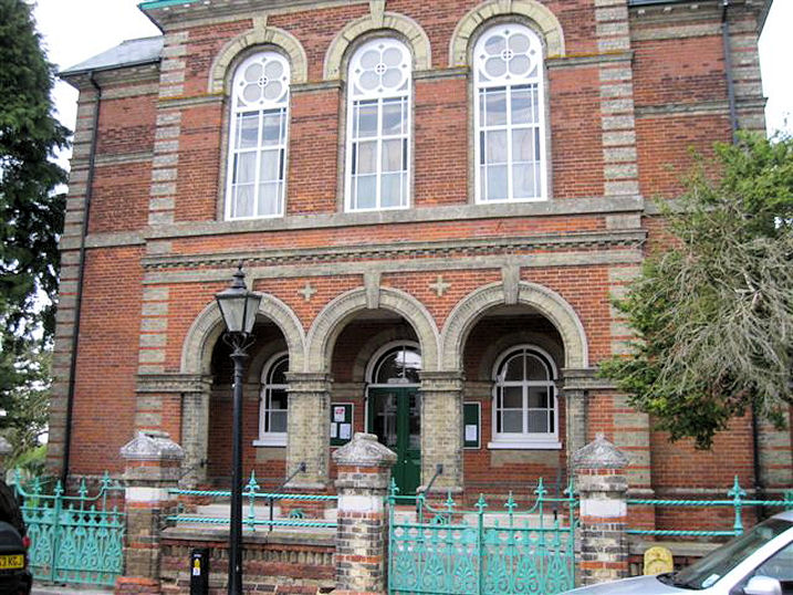
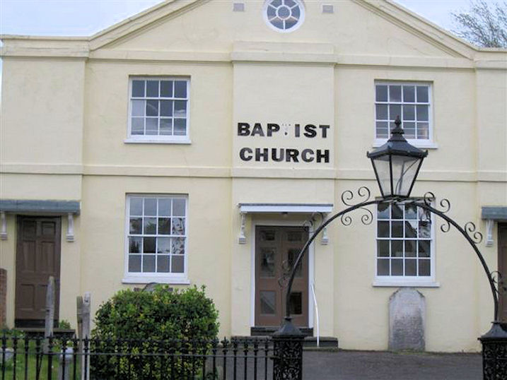
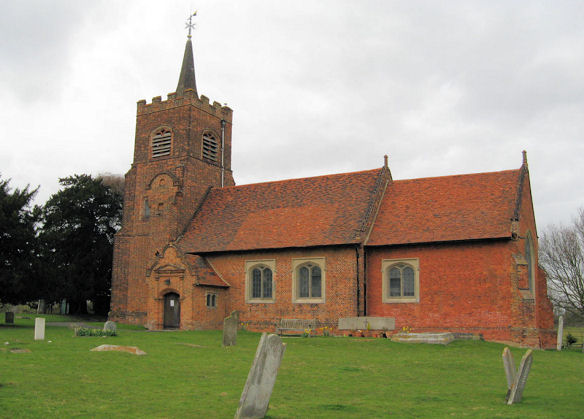
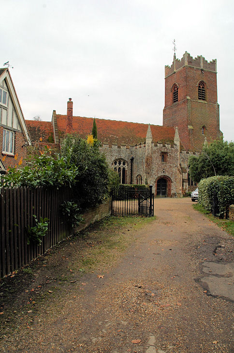
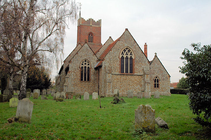
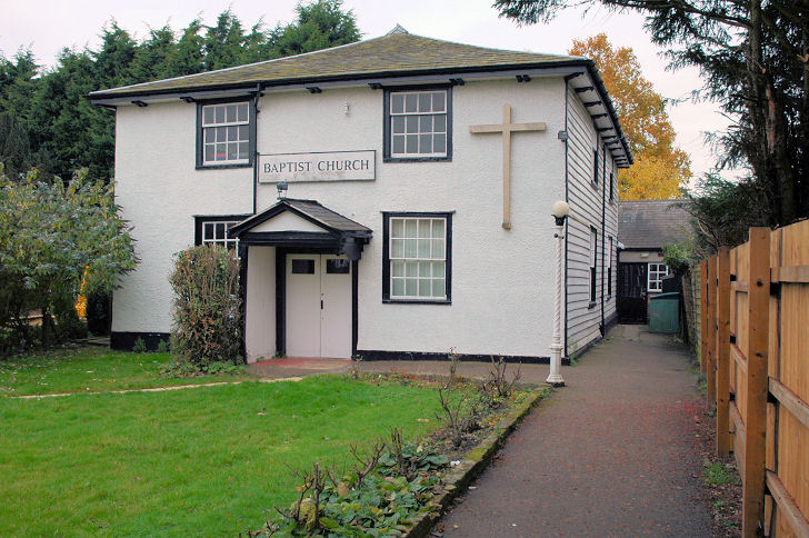
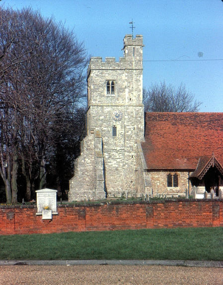
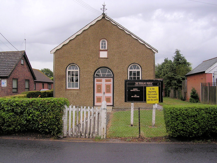
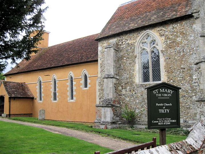
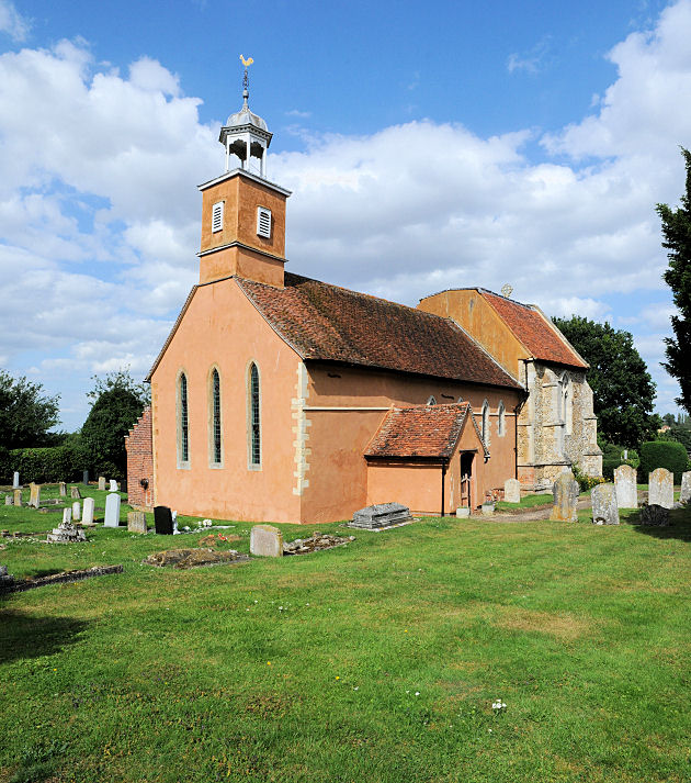
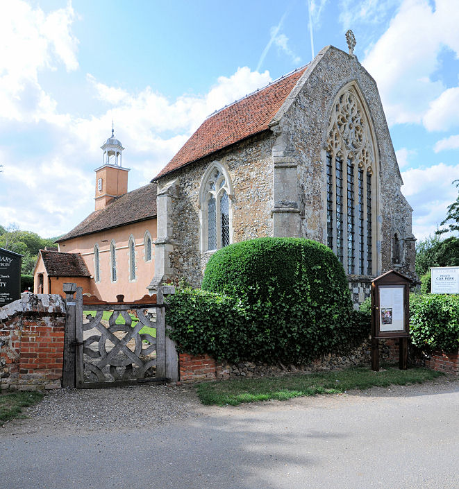
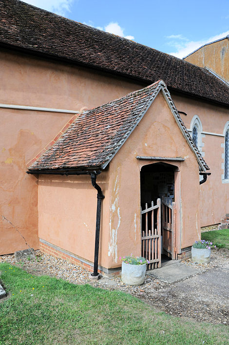
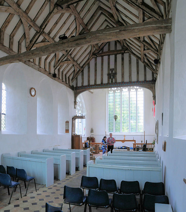
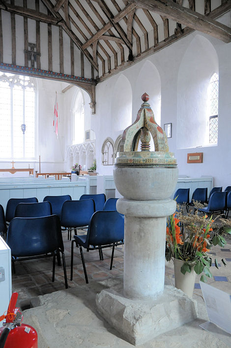
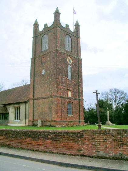
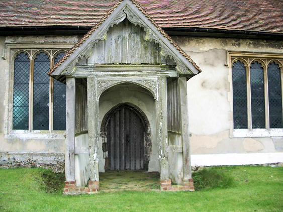
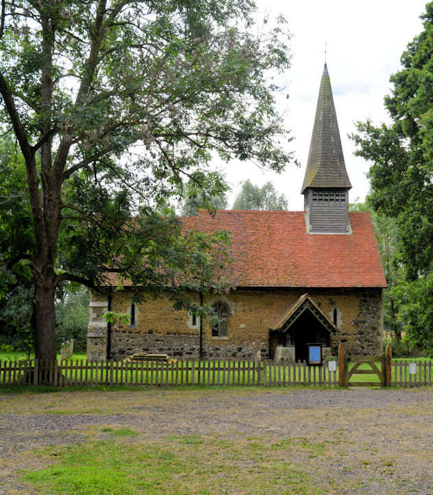
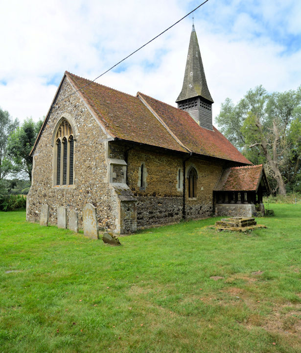
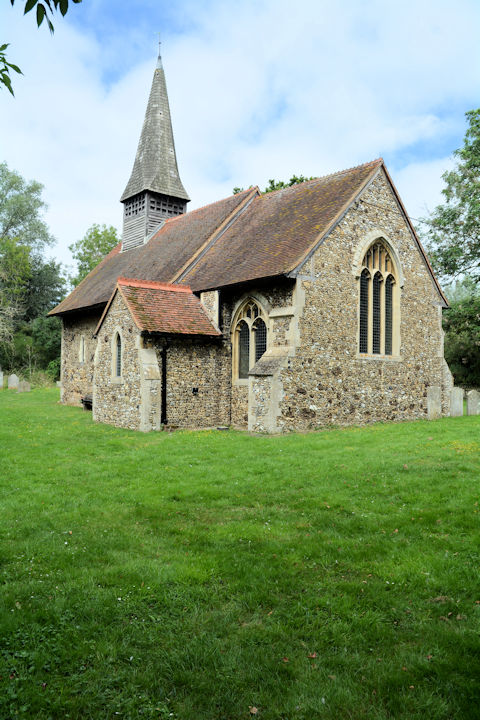
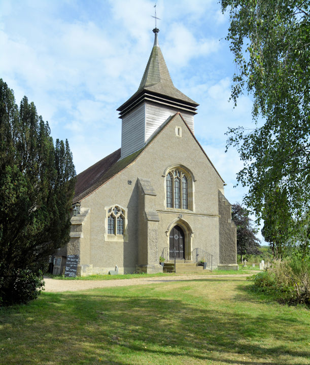
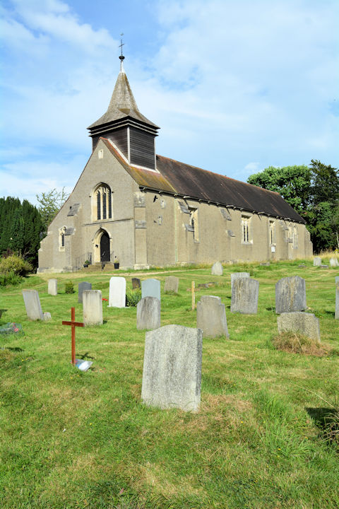
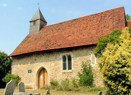
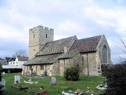
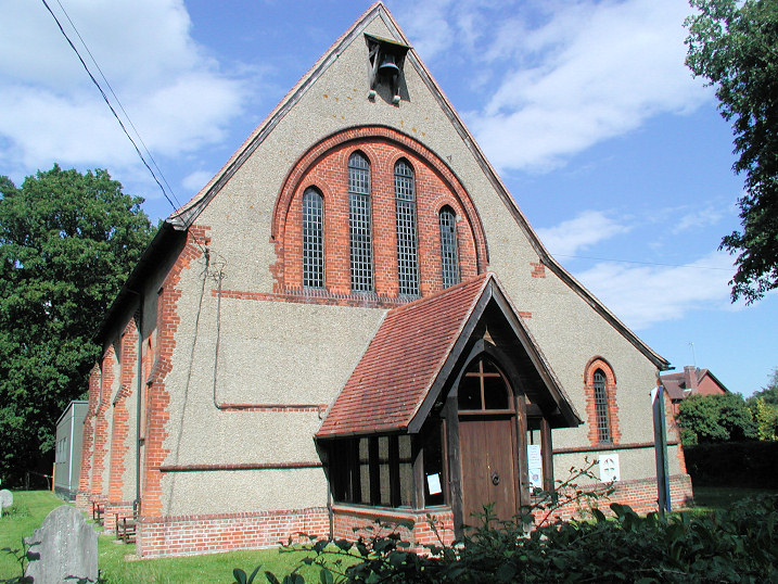
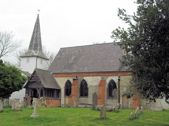
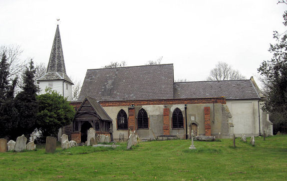
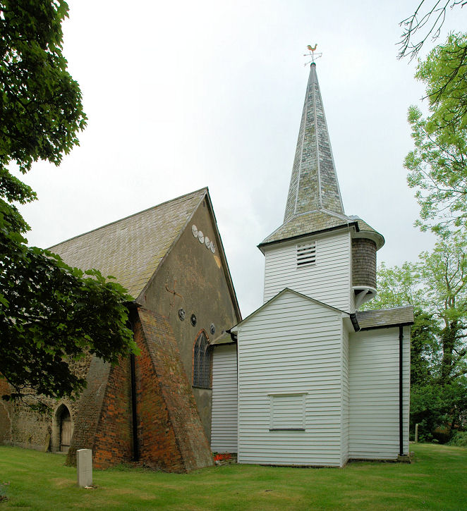
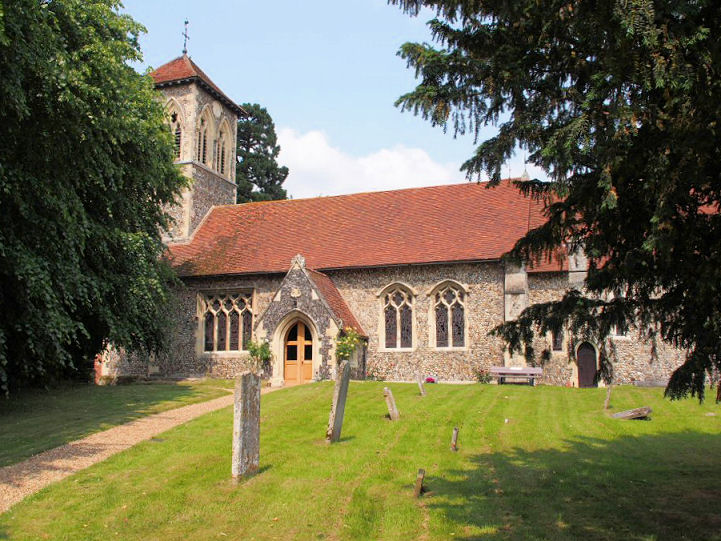
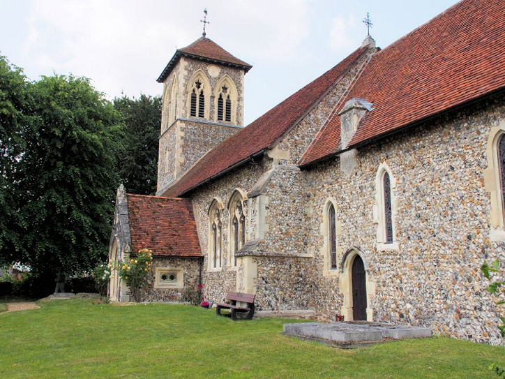
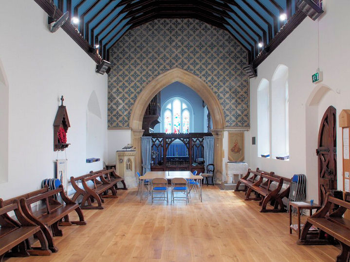
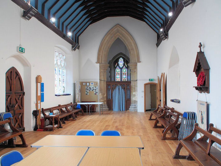
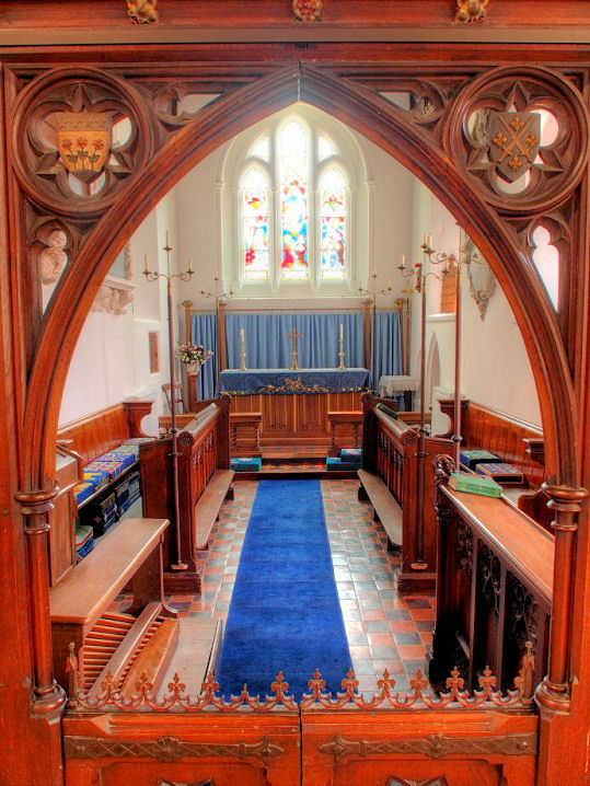
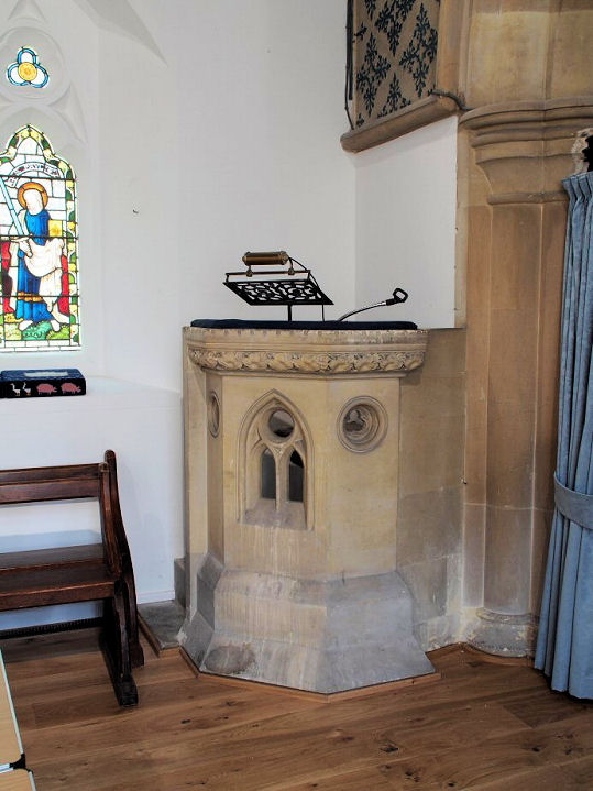
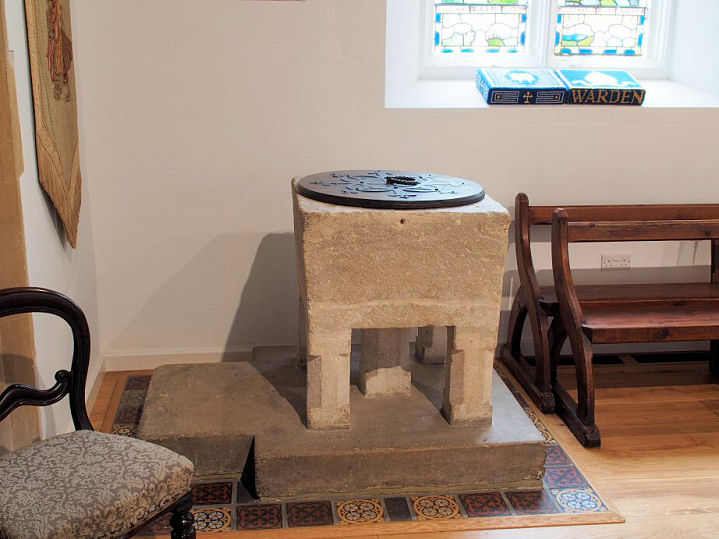
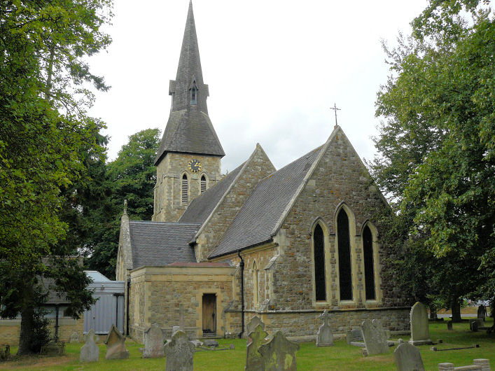
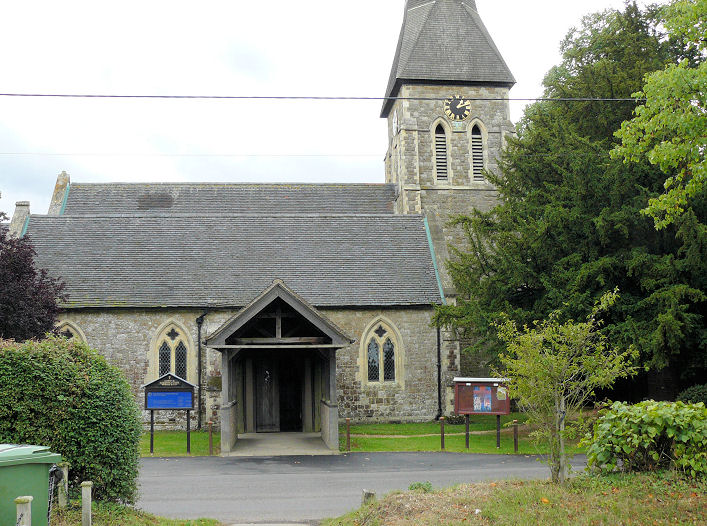
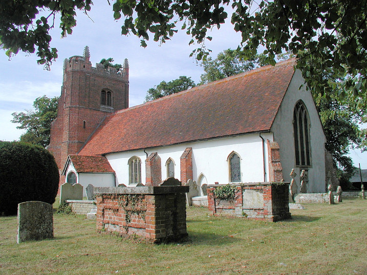
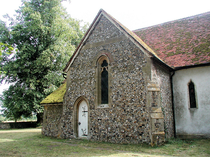
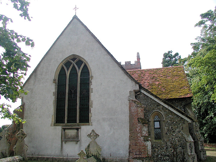
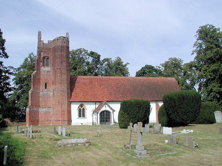
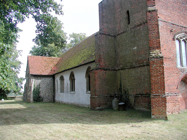
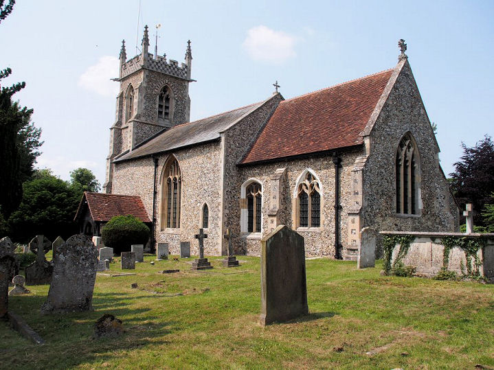
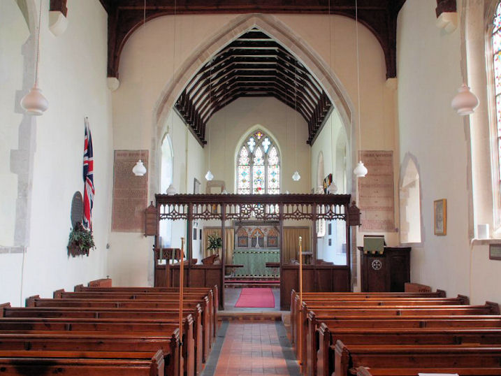
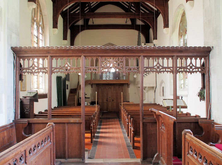
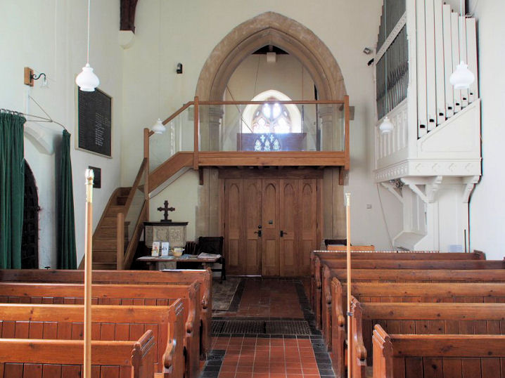
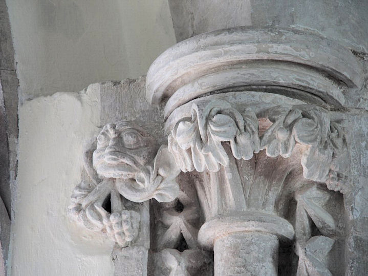
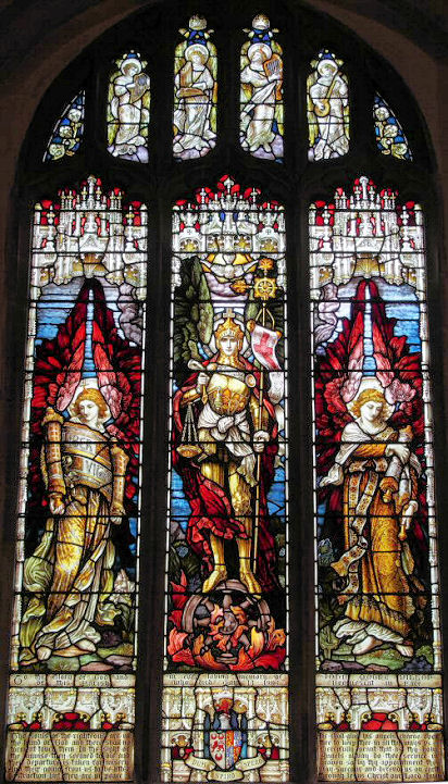
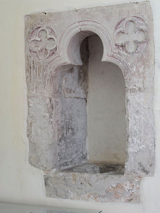
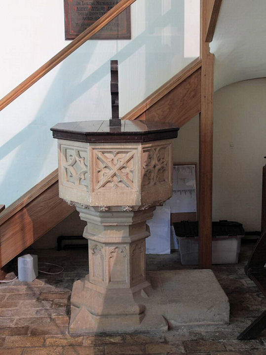
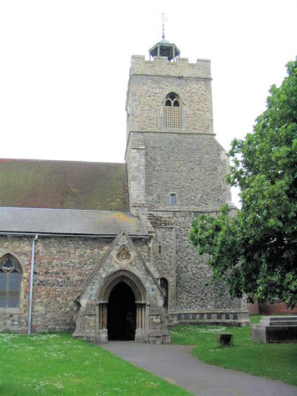
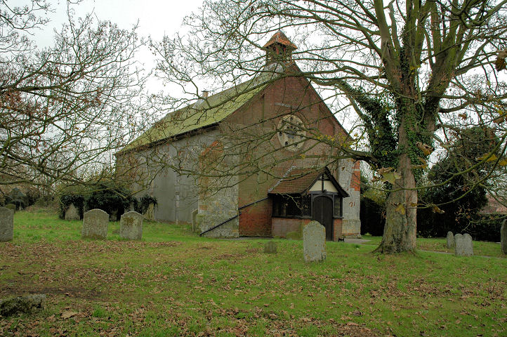
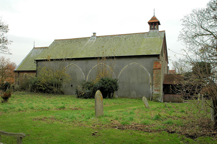
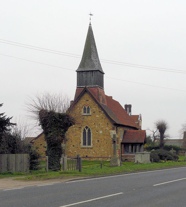
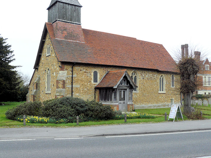
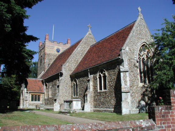
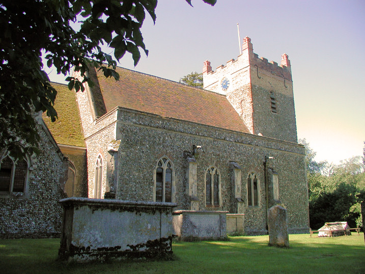
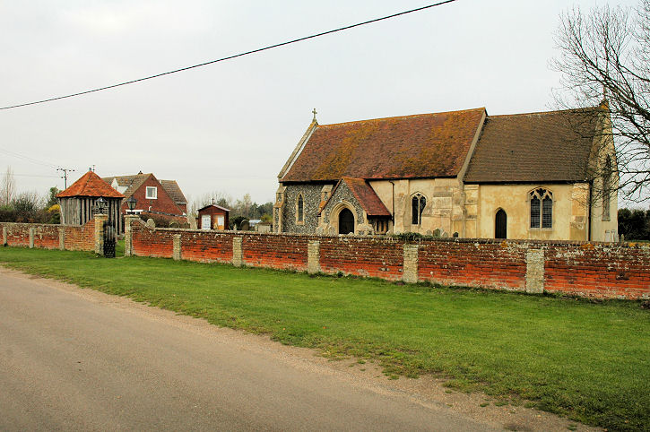
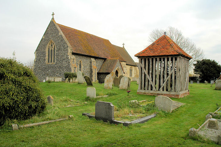
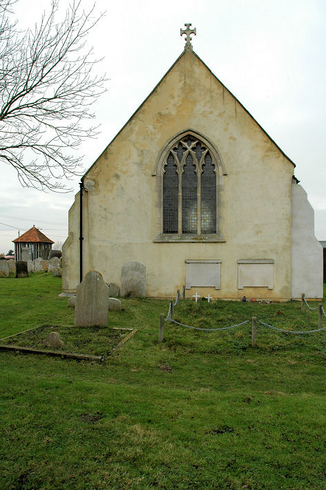
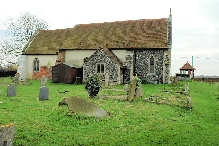
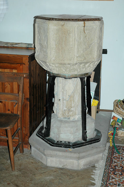
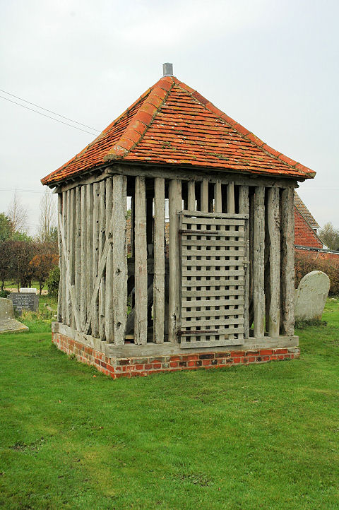
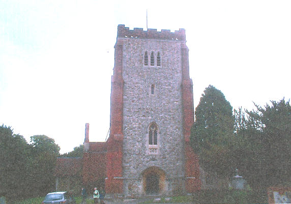
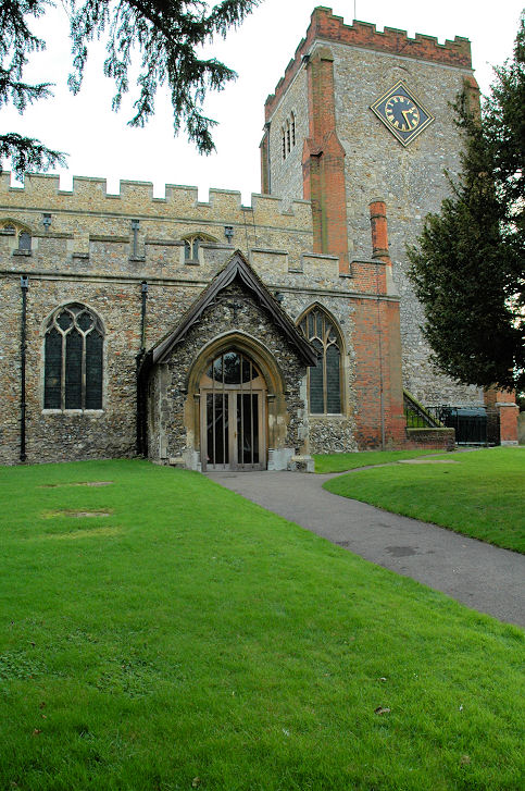
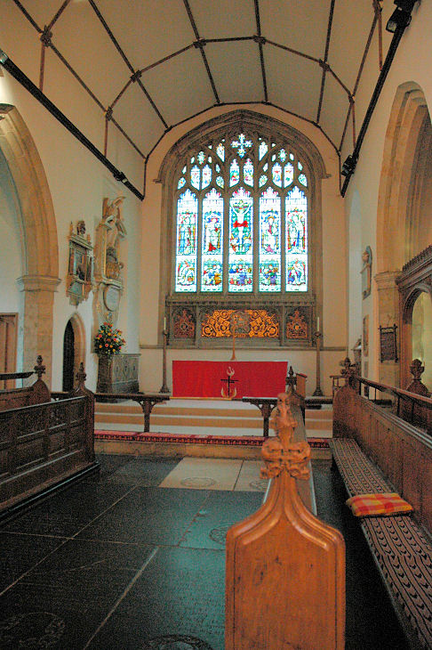
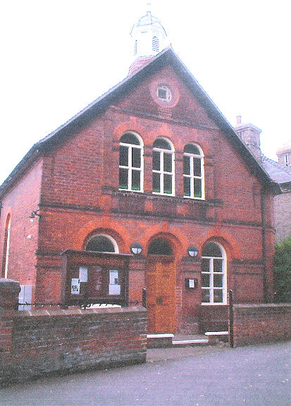