|
|
Buckinghamshire
Buckinghamshire on Wikipedia.
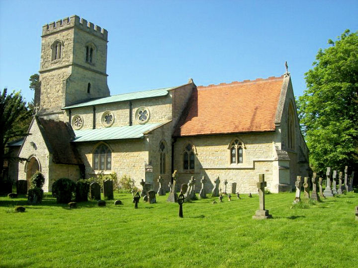
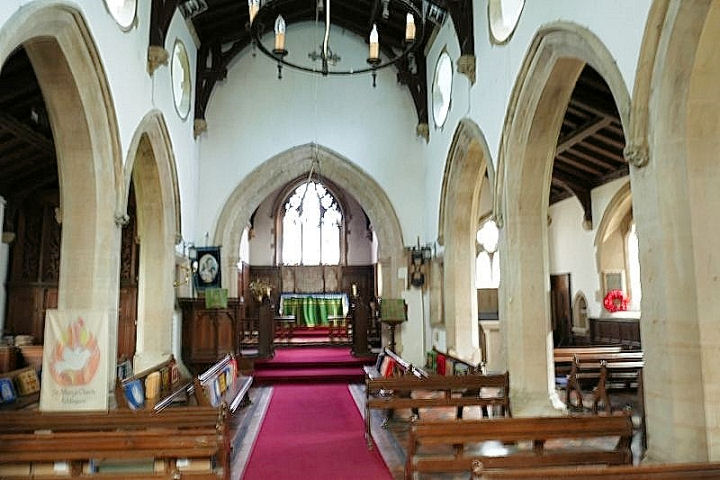
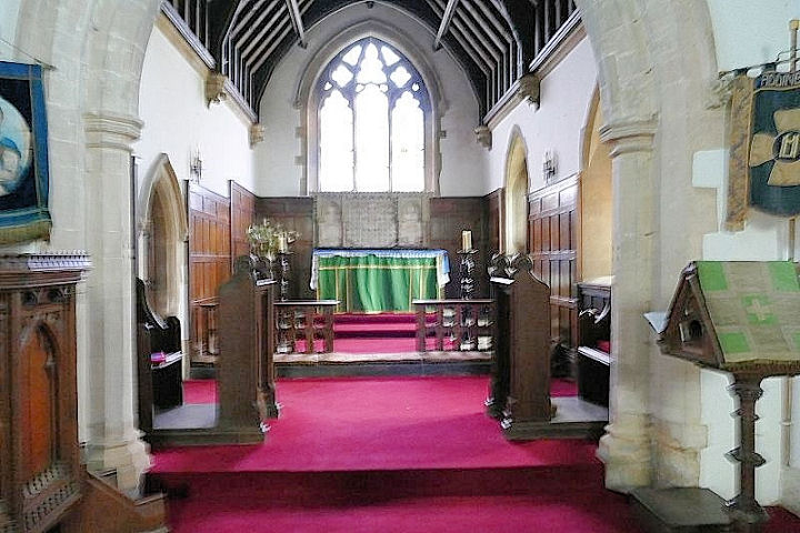
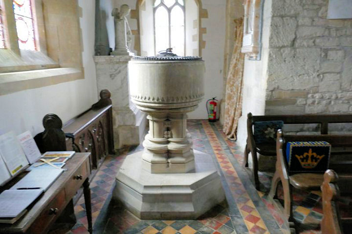
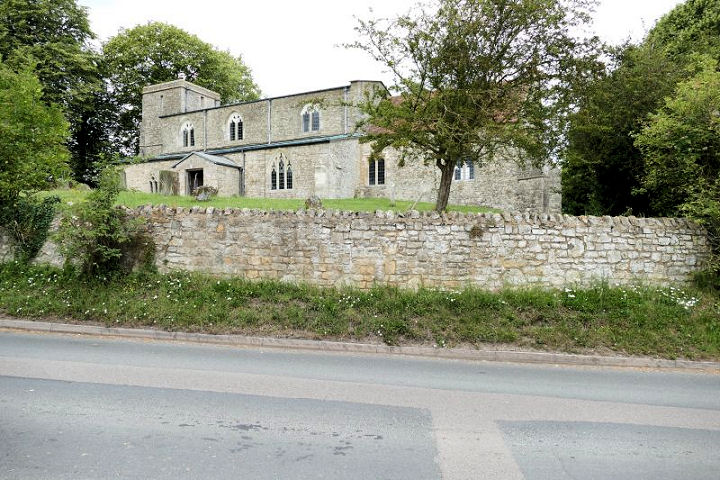
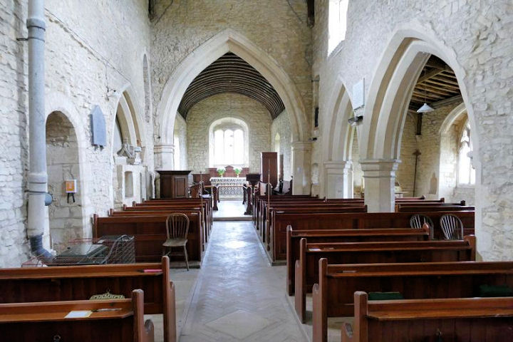
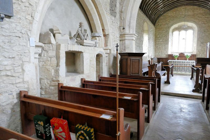
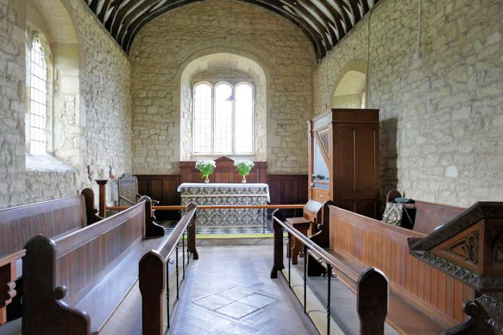
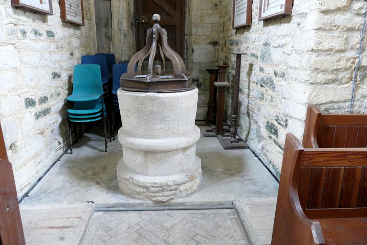
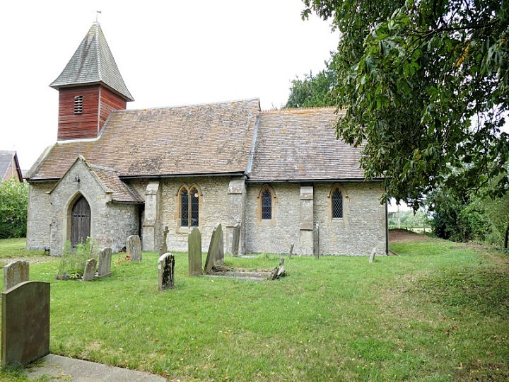
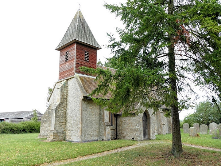
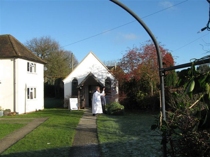
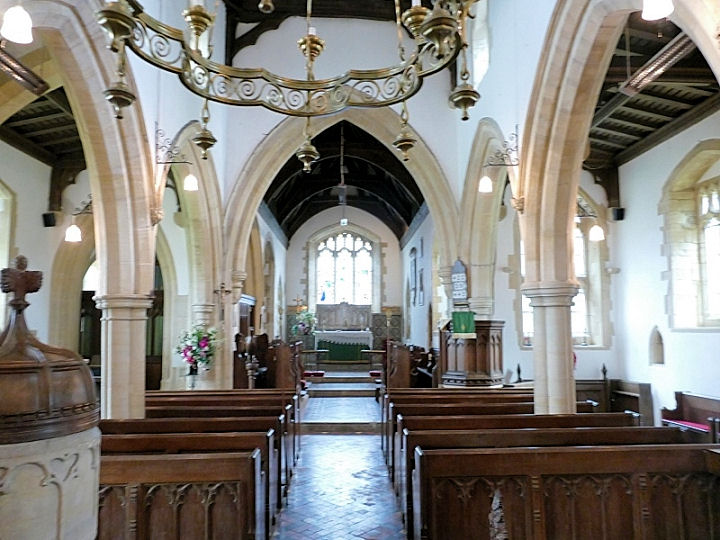
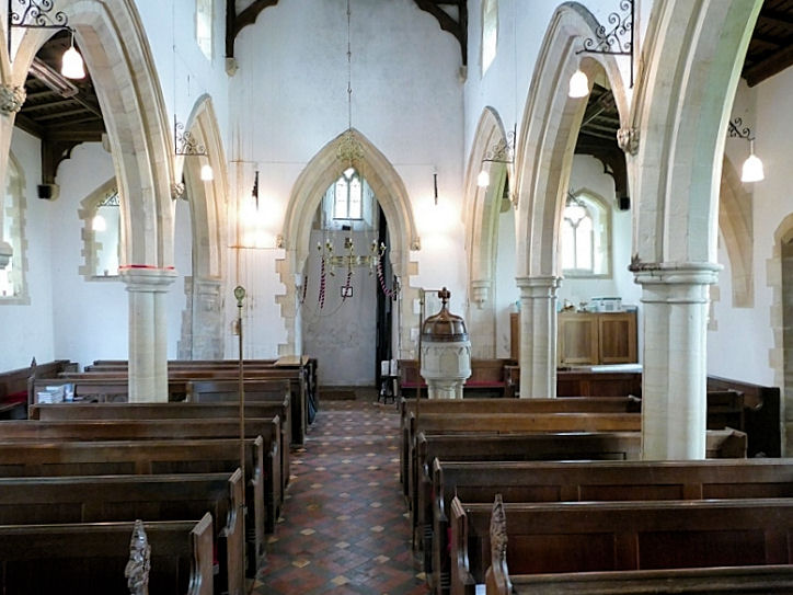
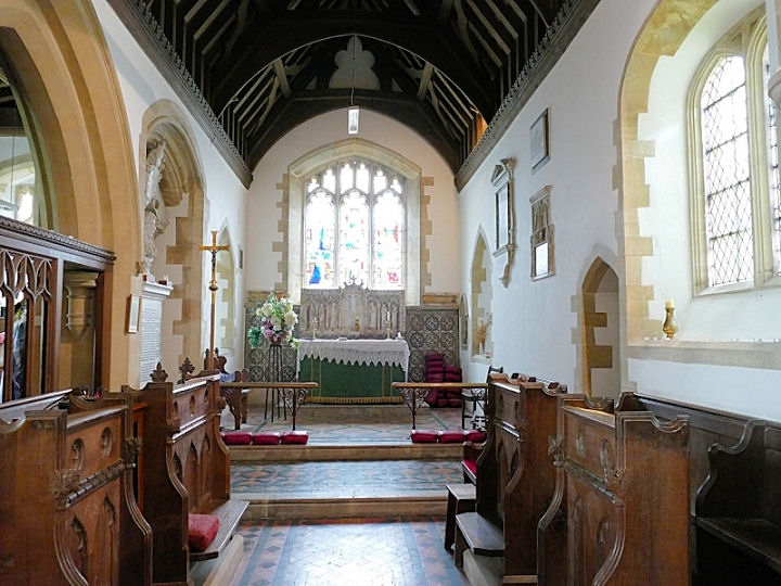
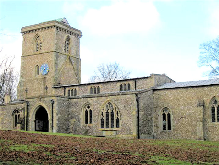
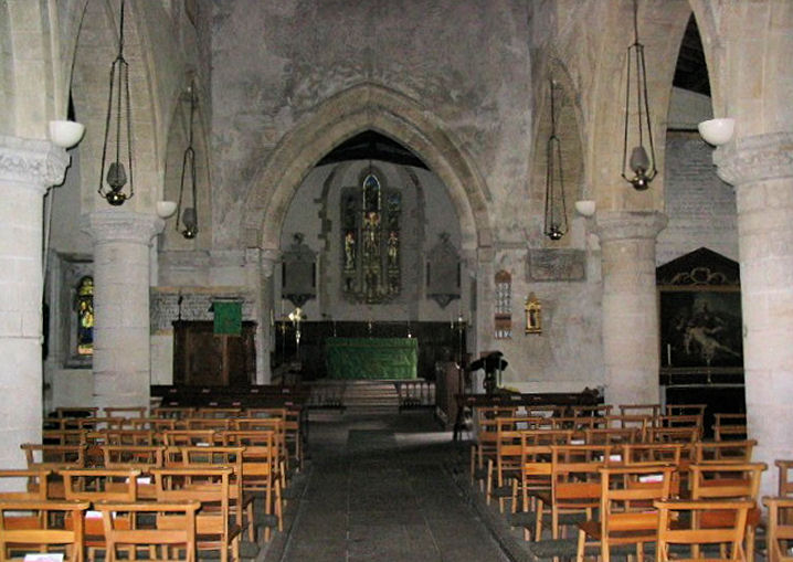
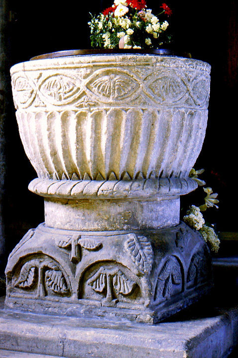
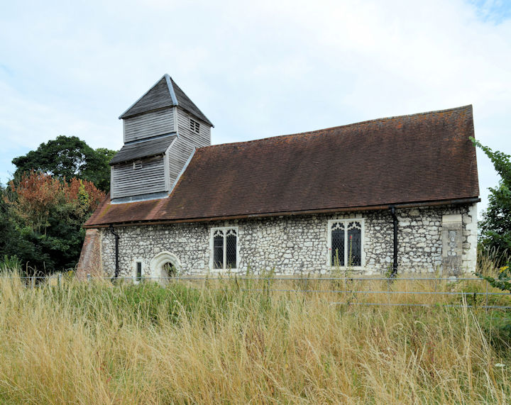
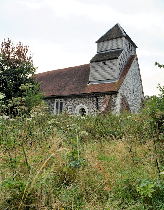
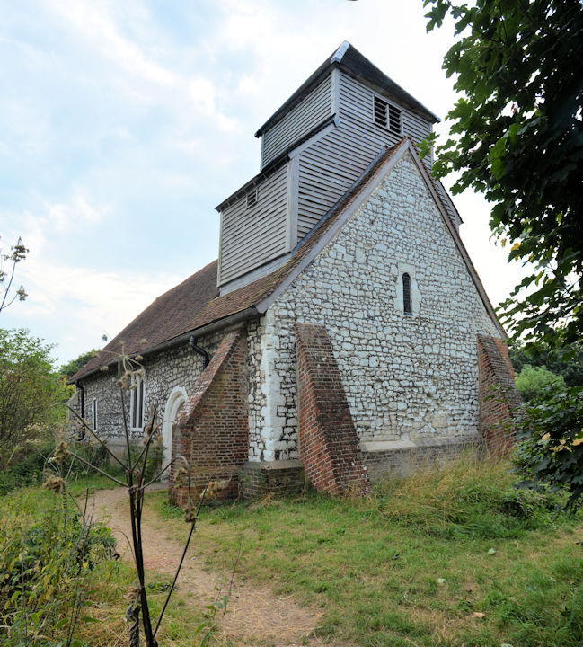
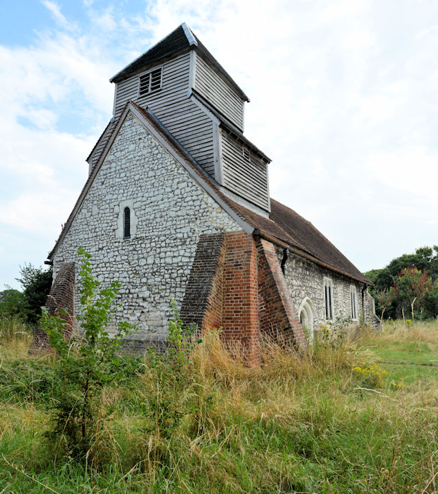
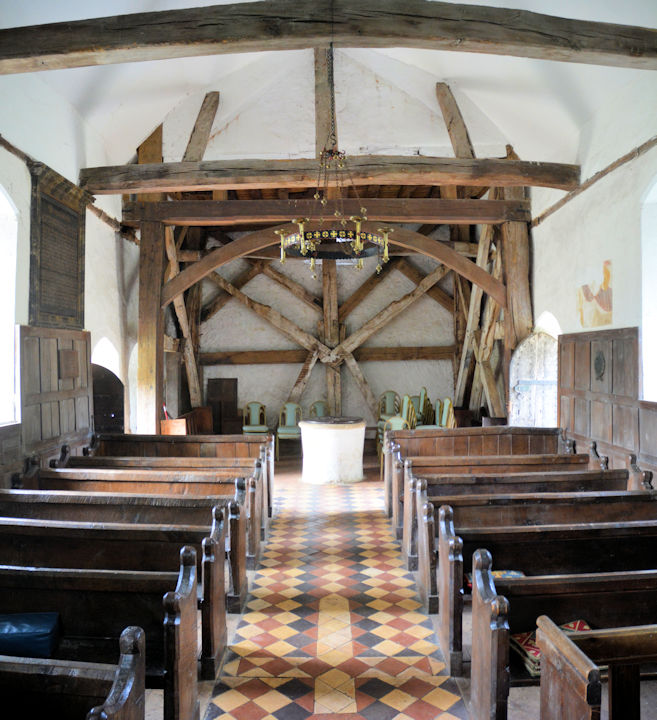
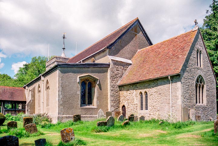
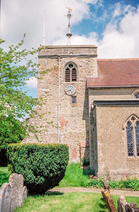
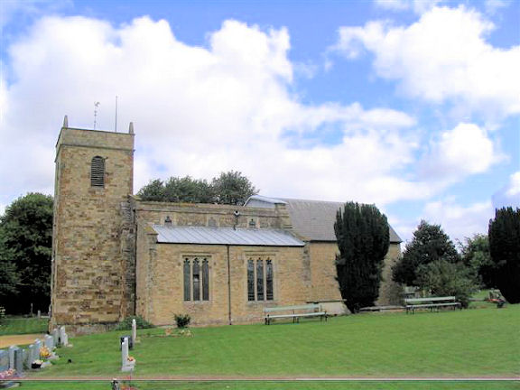
Addington, St. Mary the Virgin.
Interior view, the
chancel and the
font.
SP 7426 2849.
All © David Regan
(2018 & 2019).
Link.
Grade II* listed.
Adstock, St. Cecilia. SP 7350 3011. © David
Regan (2018). Link.
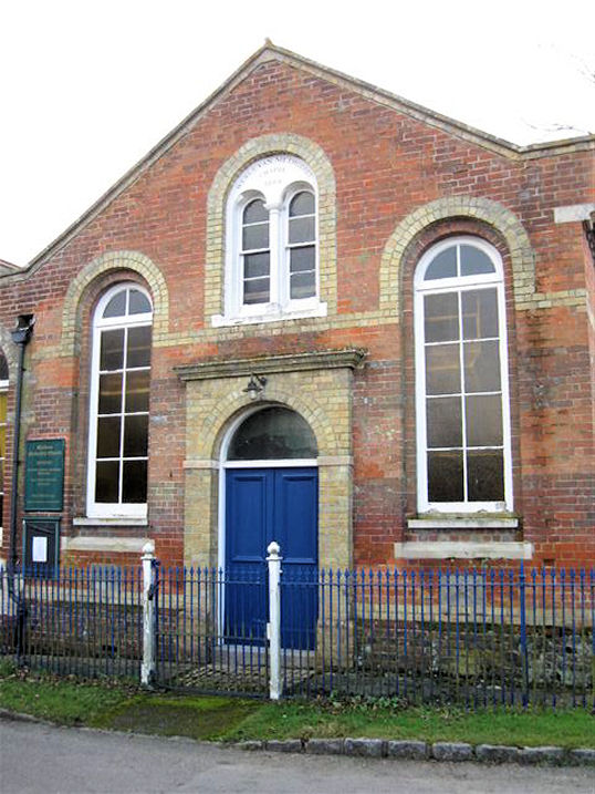
Grade I listed. An otherwise unidentified Methodist Chapel shows on
O.S. maps on Church End at SP 7356 3013.
Genuki says
it is/was Wesleyan, built in 1889. Streetview saw it in 2011 - its
appearance makes me wonder if it was re-built at some point.
Akeley, the
site of the demolished St. James the Apostle. SP 7080 3779. © David Regan (2017).
Photos of the church are available
here and
here (the latter slow to load, but it has a good history of the
church). A former Wesleyan Methodist Chapel
stands a little way east of the site of the church, on Chapel Lane at SP
7092 3780. It pre-dates a map of 1885.
Streetview saw it in
2011.
Amersham &
Amersham Old Town.
Ashendon, St. Mary the Virgin.
Two extra views - 1,
2, two of the interior -
1,
2, and
chancel, and the
font. SP 7051 1421. All © David Regan
(2019). Link.
Grade I listed.
Ashley Green,
St. John the Evangelist. SP 9765 0520. From an old postcard in Steve Bulman's Collection. The same church in a recent photograph. © Bill McKenzie. Link.
Grade II* listed, wherein it's dated to 1873, by Street.
A Baptist Chapel used to stand on Hog Lane,
at SP 9754 0537. It's described as Baptist Chapel (General) on a
map of 1887. A
newspaper story about it dates it to 1849, closing between 1913 and
1919, converted to residential use and finally demolished in 1972 or
1973. Its site is shown at
about the middle of a
2019 Streetview, on the left of the road.
Aston Abbotts, St. James on
Cublington Road. SP 8473 2024. © Bill McKenzie.
Another view, © David
Regan (2019). Link.
Grade II* listed.
Old O.S. maps also show two chapels in the village, an
Independent at SP 8467 2015, and a
Primitive Methodist on The Green at SP 8480
2008. Both chapels survive, in residential use, and a little history for
both is available
here, where it says that the Independent was also later P.M. The
Independent was seen by
Streetview in 2011, and the Primitive Methodist in
2021 (its date-stone
for 1832 can be seen by zooming-in). O.S. maps show The Abbey at the
west end of the village. According to its
Wikipedia entry it got its name from having been built on land
formerly owned by St. Albans Abbey.
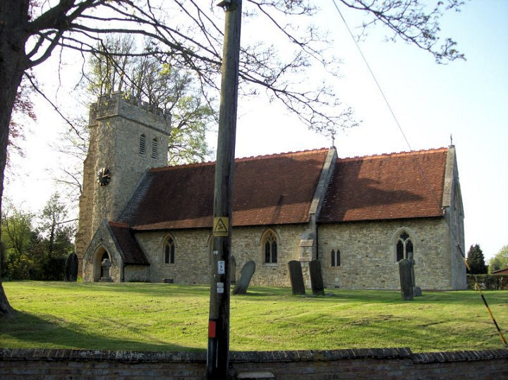
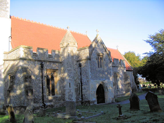
Aston Clinton, St. Michael and All
Angels. SP 8793 1195. © Les Needham. Link.
Grade II* listed.
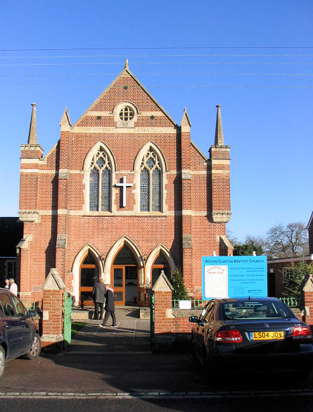
Baptist Church,
dating from 1897. SP 8801 1240. © Les Needham. The disused (and recently sold) church at Buckland
Wharf. Believed to have been Gospel
Hall of Christian Brethren. SP 8953 1149. © Les Needham.
Les has advised (2009) that the Gospel Hall is now demolished, and a private residence is being built on the site.
Aston Sandford, St.
Michael & All Angels. Another
view.
SP 7565 0787.
Both © David Regan (2019).
Link.
Grade II* listed.
Astwood, St. Peter. SP 9505 4738. © Bill McKenzie. Now closed - see
disposal notice.
Grade II* listed. A Congregational Church
is shown on old O.S. maps on Cranfield Road at SP 9527 4727. It survived
in active use to the mid-20th century at least, but was demolished at
some point. Its site was seen by
Streetview in 2021.
Aylesbury, Church of the Good Shepherd (Anglican) on Church Square. SP 8168 1233. © Clai Philpott.
Link.
Ballinger, St. Mary Mission Hall (1873). SP 9104 0323. © Les Needham.
Barton Hartshorn, St. James. SP
6407 3091. ©
David Regan (2019). Link.
Grade II listed. Large scale O.S. maps mark
Hermitage (Site of) to the south-east of the village at SP 6515 3068.
According to this
source
it was the hermitage of St. Stephen and St. Lawrence. Its site stands within the
wooded area on the horizon in a
Streetview from 2009.
Beachampton, Assumption of the
Blessed Virgin Mary. Another view,
two of the interior - 1,
2, the
chancel and the
font. SP 7705 3706. All © David Regan (2019).
Link.
Grade II* listed.
Beaconsfield.
Bellingdon, St. John. SP 9462 0492. © Les Needham.
Link.
Bierton, St. James the Greater. Two
further views - 1,
2.
SP 8362 1527.
All
© David Regan (2019). Link.
Grade I listed.
Old large-scale O.S. maps mark two chapels and a Mission Hall. A
Wesleyan Methodist Chapel still stands at the
corner of Burcott Lane and the A418, apparently now in commercial use. It was
seen by Streetview in 2008.
A short distance to the west on the A418 is a former
Baptist Chapel - it was also seen by
Streetview in 2008. The
Mission Hall stood behind roadside buildings, also
on the A418, at SP 8387 1557. Aerial views suggest that it hasn't survived. It
stood behind the buildings (or their predecessors) seen
here in a Streetview from
2021.
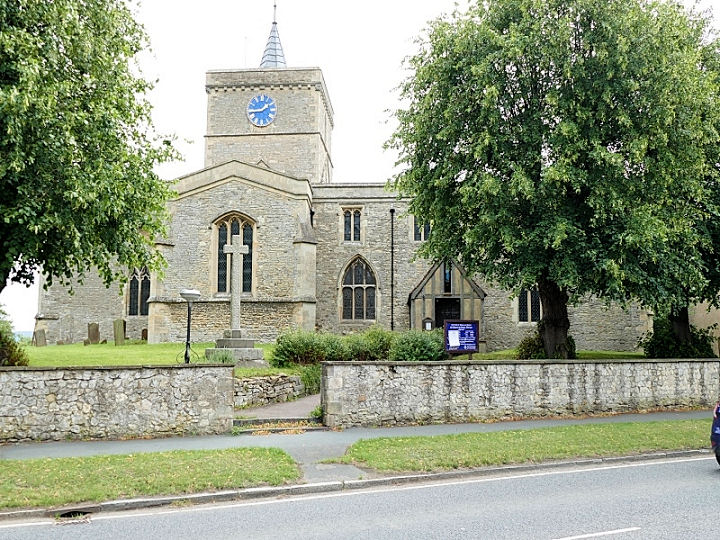
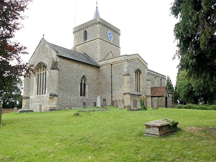
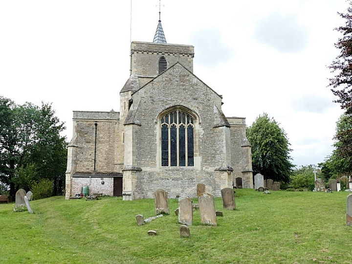
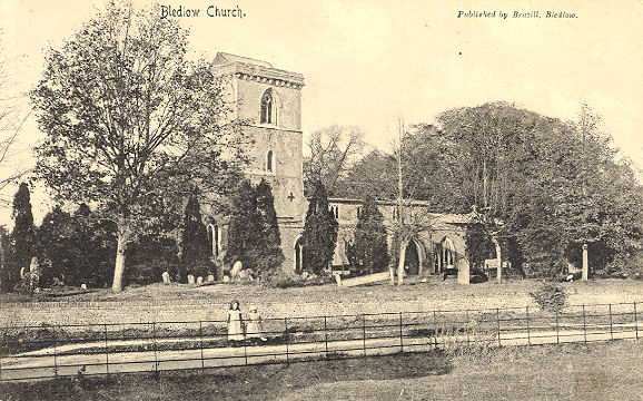
Bledlow,
Holy Trinity. SP 7784 0217. From an old postcard (franked 1908) in Geoff Watts Collection. A modern view, © Les Needham.
Interior view, © Stuart Mackrell. The
south doorway, and the very fine
font, both
© Christopher Skottowe (1963).
Link.
Grade I listed.
The stump of a churchyard cross is also listed, as
grade II.
Bledlow Methodist Church (1869) at Pitch Green
was originally Wesleyan. This
source
says it closed in 2009. SP 7770 0316. © Les Needham.
Bletchley.
Boarstall,
St. James.
Another view. SP 6248 1417. Both
© David Regan (2019).
Link1.
Link2.
Grade II* listed.
And see
here for related listed features.
Bourne End,
St. Mark.
SU 8951 8712.
Link.
St. Dunstan (R.C.). SU 8947 8743.
Link. Both
© Chris Kippin (2021). A map of 1912-26 marks a Wesleyan Methodist Chapel
on Furlong Road. Labelled on a map of 1971 as The Bourne End Methodist Church,
it seems to have survived into the 1980's at least, but it has since closed
(Wikipedia says it closed in 2002) and is now a nursery school.
Streetview only provides a
poor view (from 2018), but the nursery website provides a
better one.
SU 8956 8713. Cores End U.R.C.
(previously Congregational) stands on Kiln Lane at SU 9038 8729. A
date-stone dates it to 1804,
replacing an earlier chapel of 1768.
Another refers to an
enlargement in 1881. All © Chris Kippin (2021).
Link.
Grade II listed.
Boveney, St. Mary Magdalene. Three
more views - 1,
2, 3,
and the interior. SU 9401 7768. All ©
Karel Kuča (2024).
Link. The very brief
grade II listing.
Bow Brickhill,
All Saints on Church Road. Two extra views - 1,
2. SP 9114 3441. All
© David Regan (2019).
Link.
Grade II* listed. Wesleyan Methodist and Congregational Chapels are
indicated on the large scale O.S. map of 1901. Both are on Station Road, the
Wesleyan at SP 9060 3459, and the Congregational at
SP 9044 3463. The latter has gone, its site now the parking area in front of
houses (2021 Streetview).
The Wesleyan site is now occupied by a school. Its
grade II listing makes no mention of it having previously been a chapel, so
does anything survive of it? The old school building has the same footprint as
the chapel, with the exception that it extended onto what is now the adjacent
parking area.
Brill, All Saints,
and its tower.
SP 6563 1385.
Both © Steve Bulman.
Link.
Grade II* listed.
U.R.C. on High Street
is shown on older maps as Congregational.
SP 6542 1393. © David
Regan (2019).
Link.
The
grade II listing dates it to "circa 1839". The former
Wesleyan Methodist Chapel on Church
Street was build as Wesleyan
in 1841, and has been converted to residential use.
SP 6559 1373.
© David
Regan (2019).
Broughton - see
Milton Keynes.
Buckingham.
Buckland, All Saints. SP 8879 1245. © Les
Needham. Link.
Grade II* listed. The war memorial in the churchyard is listed as
grade II. Older O.S. maps show a Wesleyan Methodist
Chapel at SP 8869 1248.
Wikipedia
dates it to 1831. It survives (converted), and was seen by
Streetview in 2021.
Buckland Common, the former Baptist Chapel
(originally Particular Baptist), now a private residence called Chapel House.
The village Wikipedia
entry dates it to 1860 to the 1980's. SP
9212 0714. © Les Needham. The village also had an Anglican
Chapel of Ease (wooden), mentioned in the aforementioned Wikipedia
article, which dates it to soon after the Baptist Chapel, and "pulled down in
about 1939". The path which probably lead to it can be seen in this
Streetview from 2019. The
church stood a little further back than, and left of, the building among the
trees. SP 9210 0716.
Calverton,
All Saints. Another view. SP 7903
3901. Both © David
Regan (2017). Link, with
history and photos.
Grade II* listed.
Castlethorpe, St. Simon and St. Jude. SP 7991 4450.
© Les Needham.
Link.
The former Methodist Chapel (now a
nursery) on South Street and School Lane, which shows on older maps as Wesleyan. SJ 7990 4437. © Les Needham.
Link,
wherein it's dated to 1811.
Chalfont
St. Giles, St. Giles. SU 9910 9351. © Chalmers Cursley. Link.
Grade I listed. The lych-gate is listed as
grade II.
Deanway United Church
(Methodist and U.R.C.) on Deanway, as seen by Streetview in 2019. A postcard
available
here shows that it was originally Primitive Methodist. SU 9869 9335.
Link. A
Congregational Chapel stood further east along
Deanway, at SU 9884 9338. The chapel was set back from the road, and Bond House
now stands on the site (Streetview
2021). It's dated
here
(where there is an old postcard view of it) to 1901-1972.
Chalfont St. Peter,
St. Peter, as seen by Streetview in 2018. TQ 0005 9087.
Link.
Grade II* listed. For listed features associated with the church, see
here. Latimer
Minster at Stampwell Farm (over a mile and a half WSW of the town). This is certainly the only tent on this website, but
it is a church licensed by the Church of England. SU 9737 8998. Photo taken on behalf of
Carole Sage. Link.
St. Joseph (R.C.) on Bull Lane and Austenwood Lane.
It was seen by Streetview in
2021. SU 9969 8998. Link.
All Saints
(Streetview 2008) on Oval Way. TQ 0007 8950.
Link.
Grade II listed, wherein it's dated to 1912, by Temple Moore.
Gold Hill Baptist Church meets in The Hub on Church
Lane. I think it's this
building, seen by Streetview in 2018. SU 9997 9084.
Link.
Gospel Hall (2019
Streetview) on The Vale. SU 9983 9079.
Link.
Chartridge, Mission Church on
Chartridge Lane. It's either the same building as, or is built on the the site
of, a Baptist Chapel, which pre-dates a map of 1878. SP 9315 0376. © Les Needham.
Link.
Chearsley, St. Nicholas.
Another view, three of the interior -
1,
2,
3, and the
font. SP 7203 1031. All © David Regan (2019).
Link1.
Link2.
Grade II* listed. A cross shaft and base in the churchyard is listed as
grade II. Old maps show a Baptist Chapel on
Wichendon Road at SP 7170 1078. The house on the site today is called The Old
Chapel (2009 Streetview), but it betrays no signs of its history. Does anything of the chapel survive, or
is it a later build on the same site?
Cheddington, St. Giles. SP 9222 1801. ©
Les Needham.
Link.
Grade II* listed.
Methodist Church (built as Wesleyan
in 1902). SP 9210 1732. © Les Needham.
Link. Older
O.S. maps show an earlier Wesleyan Chapel nearby,
on High Street, at SP 9222 1729. It pre-dates a map of the early 1880's.
Converted, it's now known as Chiltern House, seen
here by Streetview in 2020.
Chenies,
St. Michael, is the resting place of the Dukes of Bedford. TQ 0157 9836. © Chalmers Cursley.
Another view, © Alan Wilson.
Another view, three of the interior
- 1,
2,
3, two of the several fine monuments
- 1,
2, and the
font, all
© Chris Stafford (2013).
Link.
Grade I listed.
Chenies Baptist Church, dated
here to 1779, with later additions and alterations. TQ 0211 9813.
© Chalmers Cursley. Link.
Chesham.
Chesham Bois, St. Leonard
(Evangelical Anglican). Another view. SU 9689 9982. Both © Les
Needham. Two more views -
1, 2, both © Chalmers Cursley.
Link.
Grade II listed.
The cemetery has a Chapel at SU 9666 0009. Not seen
by the Streetview van, a photo of it can be seen
here (pdf). Our Lady of
Perpetual Succour (R.C.) on Amersham Road, as seen by Streetview in 2021. SU
9596 9993. Link includes
an interior view. The
history page dates it to 1915, successor to earlier temporary buildings, the
earliest from 1908.
Chetwode, St. Mary and St. Nicholas (aka
Chetwode Priory). Two interior views - 1,
2, and the
font. The church retains two sets of
box pews for families - these are
sufficiently tall to hide the occupiers from the congregation and vicar! SP 6405
2979. All © David Regan (2018).
Link.
Grade I listed.
Chicheley, St. Lawrence.
Another view. SP 9046 4586. Both © David Regan
(2018). Link (has
interior photos).
Grade I listed.
Chilton, St. Mary. Three extra views -
1, 2,
3. SP 6867 1161. All © David Regan
(2019). Link.
Grade I listed.
Cholesbury, St. Lawrence. SP 9293 0717. © Les Needham. Link.
Grade II listed.
Clifton Reynes, St. Mary the
Virgin. Two interior views - 1,
2, a
squint, a
tomb of a knight and his wife,
floor brasses, two views of
the font - 1,
2. SP 8990 5138. All © David Regan (2017).
Link.
Grade I listed.
Cold Brayfield, St. Mary (C). SP
9293 5225. © David
Regan (2017). Another view, and
the Norman or Norman-style door,
both © Chris Stafford (2015).
Link.
Grade II* listed.
Cublington, St.
Nicholas. SP 8388 2221. © Bill McKenzie. Two additional views -
1,
2, two of the interior -
1,
2, and the
font, all © David Regan (2019).
Link.
Grade II* listed.
A former Methodist Chapel stands a short distance
east of the church, at SP 8393 2223. It was originally Wesleyan, and pre-dates a
map of 1883. Aerial maps suggest that it survives (or replaced by a building
with the same footprint), but it hasn't been seen by the Streetview van, and I
haven't been able to find a photo.
Cuddington, St. Nicholas. Two views of the
interior - 1,
2, the
chancel
and the font. SP 7374 1121.
Link.
Grade II* listed. The Methodist
Church on Lower Church Street was built as Wesleyan (SP 7381 1129). It pre-dates an old O.S.
map of 1899, and it had a predecessor on Holly Tree Lane. Holy Tree Cottage
occupies the same footprint as the old chapel, though judging by appearances on
a 2019 Streetview, little or
nothing remains of the chapel (unless you know better!).
Link. All © David Regan (2019). The village also used to have a
Baptist Chapel on Dadbrook. This
source
dates it to 1831 (and the Wesleyan to 1894). The garages seen in this
2021 Streetview now stand on
its site. An old photo of it can be found
here (which
dates it to 1829-1993). SP 7386 1105.
Dagnell, All
Saints. SP 9917 1628. © Bill McKenzie. Link.
Grade II listed. The village also used to have a
Wesleyan Methodist Chapel, on Main Road South, at
SP 9934 1610. Pre-dating a map of 1884, it seems to have survived into the
second half of the last century, but has been demolished, as this
Streetview from 2019 shows.
Denham, St. Mary. TQ 0430 8700. From an old postcard in
Steve Bulman's
Collection. Link.
Grade I listed. A (former?)
Methodist Chapel (originally Wesleyan) stands on Cheapside Lane at TQ
0397 8674. Its uncertain status is because Google Maps suggests it's still
active, but it's appearance (2019
Streetview) suggests otherwise.
Dinton, St. Peter and St. Paul. SP 7668 1107. © Clai Philpott.
Another view, the splendid
doorway and
tympanum, all © David Regan (2019).
Link.
Grade I listed.
Dorton, St. John the Baptist.
Another view. SP 6789 1394. Both ©
Karel Kuča (2024).
Link.
Grade II* listed. A tomb in the churchyard is also listed, as
grade II.
Drayton Beauchamp, St. Mary the Virgin.
SP 9016 1188. © Bill
McKenzie. Another view and the
interior. Both © Aidan McRae Thomson. Link.
Grade I listed.
Drayton Parslow, Holy Trinity. SP 8374
2842. © Bill McKenzie.
Since Bill took his photo, the tall shrubs have been removed -
another view, © David Regan (2018).
Link.
Grade II* listed. The
Baptist Chapel on Chapel Lane, as seen by Streetview in 2011. It has a
date-stone for 1830, with enlargement in 1883. SP 8394 2845. The village also
has a former Primitive Methodist Chapel, on
Carrington Hall Road. This
source dates it to 1912 replacing an earlier and smaller chapel of 1847.
Streetview saw it in 2011.
SP 8419 2879.
Dunton, St. Martin (C).
Another view. SP 8238 2437. Both
© David Regan (2019). Link.
Grade II* listed.
Edgcott, St. Michael and All Angels.
Another view. SP 6800 2280. Both © David
Regan (2019).
Grade II* listed.
The village also had a Congregational Chapel on
Buckingham Road, at SP 6814 2272. Demolished, it's dated
here to
1825. The latest available map to show it as a place of worship is from 1949. It
stood at about the gap in the hedge at the dead centre of a 2009
Streetview.
Ellesborough, St. Peter and St. Paul. SP 8364 0674. © Bill
McKenzie. An attractive night-time shot © Clai Philpott. Link.
Grade II* listed.
Emberton, All Saints.
Another view, two interior views -
1,
2, and the
font. The
angel war memorial is unusual. Why
was the village clock tower built to
resemble a church tower? SP 8850 4945 (for the church). All © David Regan (2017).
Link.
Grade II* listed.
Fenny Stratford - see Bletchley and
Fenny Stratford.
Fingest, St.
Bartholomew. SU 7767 9115. From an old postcard in Steve Bulman's Collection. A
modern view, © Derek Collier, and
another,
© Christopher Skottowe (1963).
Link.
Grade I listed.
Frieth, St. John the Evangelist. SU 7967
9020. © Derek Collier. Link.
Grade II listed, wherein it's dated to 1849.
Gawcott,
Holy Trinity. SP 6800 3183. © Steve Bulman. Two additional views
- 1,
2, two interior views - 1,
2, and the
font, all © David Regan (2018), who
advises that Sir
George Gilbert Scott was baptised here.
Link.
Grade II* listed. The
Methodist Church
(Streetview 2011) is on Main Street, and is labelled on older O.S. maps as
Primitive Methodist. This
source dates it to 1868.
Link.
Gayhurst, St. Peter. One of Simon
Jenkin's "Thousand Best Churches", David was disappointed that it was locked,
and the signage on the approach was designed to discourage visits.
Another view. SP 8465 4625. Both © David Regan
(2017). Link.
Grade I listed.
Gerrards Cross, St. James. Its
grade II* listing dates it to 1859. TQ 0009 8793. From an old postcard in Steve Bulman's Collection. Link.
The
Methodist Church on Oak End Way, as seen by Streetview in 2019. TQ 0060
8866. Link. The
history page dates it
to 1958, and explains that it was preceded on the same site by a tin church of
1908. St. Andrew (U.R.C.) on Packhorse Road. It was
seen by Streetview in 2021.
TQ 0027 8855. Link.
St. Michael's Convent (Anglican) on Vicarage Way.
Their website
has a photo of the buildings, and on the
Chapel page,
a photo of the interior of the chapel. TQ 0054 8826.
Granborough, St. John the Baptist.
Another view, and the unusual and
effective war memorial. SP 7678
2500. All ©
David Regan (2019). Link.
Grade II* listed. A former Methodist Chapel
stands on Winslow Road, at SP 7669 2515. Labelled on older O.S. maps as
Wesleyan, it was seen by
Streetview in 2021.
Genuki, quoting
from an old directory, dates it to 1871, and it seems to have been closed no
later than 1955. Other material on the same page implies that it had a
predecessor, though it doesn't mention its location.
Great Brickhill, St. Mary the Virgin
on Church Lane.
SP 9011 3079. © Bill
McKenzie. Two extra views - 1,
2, both ©
David Regan (2019).
Link.
Grade II* listed. The village also had Baptist
and Wesleyan Methodist Chapels, the Baptist on Cuff
Lane at SP 9048 3008, and the Wesleyan on Pound Hill at SP 9049 3039. The
Methodist Chapel may survive in some form as
Chapel Cottage (Streetview
2019), but the Baptist has been demolished. It was set well back from the road,
and would have stood behind the modern houses seen
here in a Streetview from
2011. Both chapels pre-date a map of 1890.
Great Horwood, St. James.
Interior view, the
chancel, and the
font. SP 7707 3120. All © David Regan (2018).
Link.
Grade II* listed. A converted Congregational Chapel
stands on the B4033 at SP 7720 3128. Seen by
Streetview in 2011, its
grade II listing dates it to 1821, converted from a barn. There's also a
former Primitive Methodist
Chapel (Streetview 2021), on Little Horwood Road, at SP 7722 3123. Its My
Primitive Methodists
entry dates it to 1875-1950's.
Great Kimble, St. Nicholas. SP 8255
0597. © Bill McKenzie. Link.
Grade I listed.
Great Missenden.
Grendon Underwood, St. Leonard.
Another view. SP 6772 2099. Both ©
David Regan (2019).
Link. The
grade II* listing has an interior photo. Older O.S. maps mark a
Mission Hall, at SP 6877 2022. Pre-dating a map of
1900, it seems to have survived in active use until the 1950's at least. On
large scale maps it's not clear which building the label applies to, but small
scale maps show that it was on the south side of the road - somewhere near
here (Streetview 2009). I
haven't been able to discover its affiliation, or a photo.
Haddenham, St. Mary the Virgin. Another view.
SP 7416 0800. Link.
Grade I listed. For other listed features in the
churchyard, see
here. Catholic Church of the Good Shepherd
on The Croft. SP 7396 0845.
Link. Methodist Chapel (originally Wesleyan,
of 1822) on High Street. SP 7396 0855.
Link.
Grade II listed.
Baptist Church on Stockwell. It's
dated in its
grade II listing to 1809. SP 7402 0855.
Link. All © Les Needham.
Halton, St. George,
on the RAF base. SP 8783 0955. © Bill McKenzie.
Link. Some history
here, where it's dated to 1963, successor to an earlier chapel which burnt
down in 1960. St. Michael & All Angels. SP 8744 1010. © Les Needham. Link.
Grade II listed.
Hambleden, St. Mary the Virgin. SU 7839
8661. © Derek
Collier. Two further views - 1, 2, both © Bill
McKenzie. Link.
Grade II* listed. For other listed features
associated with the church, see
here.
Hanslope, St. James the Great. SP 8040
4672. Link.
Grade I listed. The
Methodist Chapel on High Street was
originally Wesleyan, dating from 1828.
SP 8031 4688.
Link.
Grade II listed. Gold Street Gospel Hall.
SP 8046 4685. All © Les
Needham.
Hardmead, St. Mary.
Another view. SP 9350 4769. Both © David Regan
(2018).
Link.
Grade I listed.
Hardwick, St. Mary the Virgin on Church
Path. SP
8066 1898. From an old postcard in Reg Dosell's Collection.
Two modern views - 1,
2, two of the interior -
1,
2, the
chancel and the
font, all ©
David Regan (2019).
Link.
Grade II* listed. The war memorial is
grade II listed.
Hawridge, St. Mary. Its
grade
II listing says it's an 1856 re-build of a medieval chapel.
SP 9502 0590. © Les Needham. Link.
Hedsor, St. Nicholas. SU 9072 8623. From an old postcard in Steve Bulman's
Collection. Another view, © Marion Hall.
Link.
Grade II listed.
High Wycombe.
Hillesden, All Saints,
aka The Cathedral in the Fields.
SP
6855 2875. © Marion Hall.
Two additional views - 1,
2, two of the interior -
1,
2, the
altar, a
memorial, and the
font, all
© David Regan (2018).
Link.
Grade I listed.
Hoggeston, Holy Cross.
Another view.
SP 8084 2503. Both
© David Regan (2019).
Two more views - 1,
2, both ©
Karel Kuča (2024).
Link.
Grade II* listed. A stretch of the churchyard wall is separately listed as
grade II.
Horsenden, St. Michael and All Angels.
Another view. SP 7936 0292. Both © Les
Needham. Link.
Grade II* listed.
Hughenden, St. Michael and All Angels.
SU 8643 9553. ©
Derek Collier. Two interior views, both © Dave Westrap -
1,
2.
The Disraeli monument, pulpit and
font, all © Janet Gimber (2014).
Link.
Grade II* listed.
The Disraeli monument has its own
grade II listing.
Hulcott, All Saints.
SP 8532 1669. © Bill
McKenzie. Two additional views - 1,
2, both
© David Regan (2019), who advises that there was a notice pinned to the door
about a meeting to discuss the future of the church.
Link.
Grade II* listed.
The lych-gate and adjacent wall are separately listed as
grade II.
Ickford,
St. Nicholas. Another view, showing the tower. SP 6459 0737. Both © Steve Bulman. Link.
Grade I listed. Older O.S. maps show a
Baptist Chapel on Sheldon Road at SP 6499 0725.
It's dated
here to 1825. Chapel Cottage
(2011 Streetview) stands on the site today - is this the converted chapel, or a
newer building on the same site?
Ilmer, St. Peter. Three additional views -
1, 2,
3, and three of the interior -
1,
2,
3 (including the font). SP 7693 0549.
All © Karel Kuča (2011).
Link.
Grade II* listed.
Ivinghoe, St. Mary the Virgin. SP 9455
1617. © Corrall
McCormack. Link.
Grade I listed. Ivinghoe and Pitstone
Wesleyan Reform Chapel (1865) on High Street. SP 9432 1609. © Les Needham. Ian Travis has
advised (2010) that this chapel is now closed. The village also has a
former Baptist Chapel, on Station Road, at SP 9439
1629. It was seen by Streetview
in 2019, and its
grade II listing dates it to 1815.
Jordans, the Quaker
Meeting House, as seen by Streetview in 2016. Two old postcards, from
Christopher Skottowe's Collection, show the
burial ground, and the
interior. SU 9745 9102.
Link. The
history page
dates it to 1688.
Grade I listed.
Kingsey, St. Nicholas. Another view. SP 7433 0676. Both © Les Needham.
Link.
Grade II listed, wherein it's dated to 1892-3.
Lane End,
Holy Trinity. Its
grade II listing dates it to 1877. SU 8060 9165. From an old postcard in Brett Jeffery's Collection.
Link.
Lathbury, All Saints (C). SP 8745 4499. © David Regan
(2018). Link.
Grade I listed.
Latimer,
St. Mary Magdalene. TQ 0001 9888. From an old postcard in Steve Bulman's Collection. A modern view, © Les Needham.
Link.
Grade II listed, wherein it's dated to circa 1841. Some scant remains
survive of the old church of the same name. Its
grade II listing (which includes a photo), dates its closure to 1838 when the
present church opened. TQ 0084 9867.
Lavendon, St. Michael.
Older large scale O.S. maps label it as St. Mary. SP 9161 5365. © David Regan
(2017). Link.
Grade I listed. The village war memorial stands adjacent to the church, and
is
grade II listed. The Lavendon Union Chapel
(1894) on Northampton Road. A map of 1900 labels it as Baptist and
Independent. Its predecessor stands to the right. SP 9167 5364. © David
Regan (2017). Link.
The same map also shows a Primitive Methodist Chapel,
on Olney Road, at SP 9161 5344. It, (or the building which replaced it, with the
same footprint) was seen by
Streetview in 2009. Lavendon Premonstratensian Abbey
stood to the west of the village, and is indicated on O.S. maps at SP 9034 5341.
According to its
Wikipedia entry nothing remains to be seen other than earthworks, but the
site hasn't been seen by Streetview. A photo showing some of the earthworks (and
a history) can be seen
here (pdf).
Link.
Leckhampstead, Assumption of the
Blessed Virgin Mary. Another view.
SP 7264 3792. Both © David Regan (2017).
Link.
Grade I listed.
Lee Common, the Methodist Chapel (1839,
as Primitive Methodist) on Oxford Street. This
source dates it to 1839. SP 9079 0419. © Les Needham.
Link.
There's also a former Baptist Chapel on Lee Clump
Road at SP 9073 0445. It looks an unlikely former chapel from a 2010
Streetview, but it's
confirmed here, where
there is a good history.
Lee Gate, Emanuel Hall (1883). SP 8981 0533. Les thinks it may be in use today as the village hall. © Les Needham.
Ley Hill, the Methodist Chapel, built as Primitive Methodist in 1887. SP 9887 0201. © Les Needham.
Just a short distance to the SE older O.S. maps mark a
Baptist Chapel, at SP 9895 0195. It pre-dated a map of 1882-3, where it's
labelled as Baptist Chapel (General) and it had gone out of use and been
demolished before the 1960 1" map was compiled. It stood roughly on the right
hand half of the building at the centre of a
2010 Streetview, though it
was aligned at 90° to it.
Lillingstone Dayrell, St. Nicholas
of Bari. Another view, two of the
interior - 1,
2, a selection of tombs and
brasses - 1,
2,
3,
4, and the
font. SP 7053 3983. All © David Regan (2017).
Link.
Grade I listed.
Lillingstone Lovell,
Assumption of the Blessed Virgin Mary. The
interior, font, and
photos two of the brasses - 1,
2. SP 7125 4049. All © David Regan (2017).
Link.
Grade I listed.
Little Brickhill, St. Mary Magdalene
on Watling Street.
Two extra views - 1,
2. SP 9104 3245. All ©
David Regan (2019).
Link.
Grade II* listed. There's also a former Wesleyan
Methodist Chapel on Great Brickhill Lane. It can be seen in a
Streetview from 2018, and
it's date-stone for 1819 by zooming in. This
source dates it to 1840, so is this a case where the dates-stone from an
earlier chapel was built into its replacement?
Little Chalfont, St. George on White
Lion Road. SU 9848
9779. © Chalmers Cursley.
Link.
St. Aidan (R.C.) stands a little
further east on the same road.
SU 9865 9764. © Chalmers Cursley. The
church website has an
interior view, and the
history
page dates it to 1964. The Methodist Church is
on Chalfont Avenue. SP 9982 9766. It was seen by
Streetview in 2019.
Link.
Little Hampden, Church (no dedication).
SP 8604 0355 © Marion Hall.
Two more views - 1,
2, both ©
Karel Kuča (2024).
Link.
Grade I listed.
Little Horwood, St. Nicholas.
Another view, two of the interior -
1,
2, the
chancel, the
altar,
wall paintings, and the
font. SP 7905 3084. All © David Regan (2018 &
2019).
Link.
Grade II* listed.
A former
Baptist Chapel (Streetview 2021) stands
in the angle of where Clays Lane runs into Winslow Road, at SP 7906 3063. It has
a date-stone for 1867.
Little Kimble,
All Saints. SP 8265 0642. © Bill McKenzie. Link.
Grade I listed.
Free Church (Baptist Union) on Grove
Lane. Earlier O.S. maps label it as Union Chapel (Baptist). It pre-dates
a map of 1885. SP 8233 0706. © Les Needham.
Link.
Little Marlow, St. John the Baptist.
The revolving lych-gate is fairly
unusual. SU 8741 8783. Both © Chris
Kippin (2021). Link.
Grade II* listed.
Little Missenden, St. John the
Baptist. SU 9209 9899. © Chalmers Cursley. Link.
Grade I listed.
Long Crendon, St. Mary the Virgin. SP
6984 0906. © Caroline Webb. Link.
Grade I listed. Our Lady of Light
(R.C.) on Chearsley Road, and its interior.
SP 6952 0885. Both © Marion
Hall.
Link. The Baptist Church is on High Street, at
SP 6958 0874. It was seen by
Streetview in 2011. Link.
The history page dates the
church to 1853. Older O.S. maps show a Primitive Methodist
Chapel on Sycamore Close at SP 6932 0867. Dated
here to 1866, it doesn't seem to have been active beyond the 1950's. It, or
the building which replaced it, was seen by
Streetview in 2010. There
was also a Wesleyan Methodist Chapel which stood on
Chearsley Road, dated
here to 1840-1920's, and where it also says that it had a smaller
predecessor of 1828 (though whether it was on the same or a different site is
not mentioned. SP 6949 0886.
Ludgershall, St. Mary the Virgin, and
its tower.
SP 6599 1720. Both ©
Steve Bulman. Two additional views - 1,
2, both © David Regan (2019).
Link.
Grade I listed. The Methodist
Church was built as Wesleyan in 1904. The lack of on-line information
suggests that it may no longer be active. SP 6597 1748.
© David Regan (2019). Its likely predecessor is shown as a Wesleyan Chapel on
Piddington Road at SP 6571 1778. Pre-dating a map of 1885, the
building on the site today
was seen by the Streetview van in 2021. Does anything of the chapel survive?
Maids Moreton,
St. Edmund. Another view. SP 7064
3517. Both ©
David Regan (2017).
Link1.
Link2 has some interior views.
Grade I listed.
There was also a Wesleyan Methodist Chapel in the
village, on Duck Lake at SP 7033 3556. Active into the mid-20th century at
least, it was demolished at some point, and housing (2021
Streetview) built on the site.
Marlow.
Marsh Gibbon, St. Mary.
SP 6476 2322. © Steve Bulman. Another view, two of the interior -
1,
2, and what at first glance
appears to be a rather precarious
font, all © David Regan (2019).
Link.
Grade II* listed. U.R.C.
on Tompkins Lane, as seen by Streetview in 2021. SP 6421 2296.
Link. Older O.S. maps show a Congregational Chapel
a short distance to the east on Bicester Road at SP 6427 2298, presumably its
predecessor. Its site was seen by
Streetview in 2021.
Marsworth, All Saints. SP 9199 1460. ©
Les Needham. Link.
Grade II* listed. For the listed lych-gate and war
memorial, see
here. Just a short distance away to the S.E. on Vicarage Road there used to
be a Baptist Chapel. SP 9208 1456. It stood where
the leftmost bungalow is, in a
Streetview from 2019. Its closure is given
here as
1907.
Medmenham,
St. Peter and St. Paul. SU 8047 8447. © Chris Kippin (2021).
Link.
Grade II* listed. A churchyard tomb islisted
separately as
grade II.
Mentmore, St. Mary the Virgin. SP 9037
1977. © Bill McKenzie. Link.
Grade II* listed.
Middle Claydon, All Saints, which
dates from the 13th century, a tower of circa 1500, and the chancel of 1519 (the
stylised date is inscribed on a
doorway). There was a restoration
in 1871. Two additional views - 1,
2, two of the interior -
1,
2, the
ceiling, and the
font. There are some impressive
monuments - 1,
2 (detail).
SP 7189 2529. All © Carole Sage (2017).
Link.
Grade I listed.
Milton Keynes.
Monks Risborough, St. Dunstan. SP 8127 0442. © Les Needham. Link.
Grade I listed.
Moulsoe, Assumption of the Blessed Virgin
Mary (C). Another view. SP 9066 4175. Both © David
Regan (2018). Link.
Grade I listed.
A grave enclosure in the churchyard is listed as
grade II. A Mission Room shows on older O.S.
maps on Cranfield Road. Pre-dating a map of 1900, none of the maps which show it
are clear as to which building the label should be applied to. However,
Streetview shows Chapel Cottage directly opposite Wood End Lane at SP
9109 4199 - the Mission Room stood in what is now the garden of the house seen
centrally in this 2021
Streetview. It had gone out of use by the mid-20th century.
Mursley, St. Mary the Virgin. SP 8171
2855. © Bill McKenzie.
Another view, two general views of the
interior - 1,
2, the
chancel, and the
font, all © David Regan (2018).
Link.
Grade II* listed.
The former Baptist Chapel on
Main Street, as seen by Streetview in 2011. It has a date-stone for 1883. SP
8159 2893. This source
says it replaced an earlier chapel of 1846 on the same site. It also gives it's
closure as 1997, and it says that the congregation moved into a nearby wooden
chapel, which closed in 2018. It can be seen
here in a Streetview from
2009, and the housing built on the site
here, in 2021.
Nash, All Saints
(1857-8). SP 7813 3401. © David Regan (2017).
Link.
Grade II listed. Older O.S. maps mark a Baptist Chapel
off High Street, at SP 7808 3434. This
source (with photos) dates it to 1824-1985, with subsequent demolition, and
the present building put up re-using the old bricks. It was seen by the
Streetview van in 2009.
Nether Winchendon, St. Nicholas,
which has a fine set of box pews and other quality woodwork. Two interior views
- 1,
2, the
chancel and the
font. SP 7327 1226. All © David Regan (2019).
Link.
Grade I listed. According to its
Wikipedia entry,
Nether Winchendon House sits on the site of an Augustinian Priory. Assuming this
is correct, it's a little curious that the
grade I listing makes no mention of it. It was seen by
Streetview in 2010. SP 7345
1208.
New
Bradwell, St. James. SP 8283 4147. © Les
Needham. Link.
Grade II* listed. The
Methodist Church on Thompson
Street and North Street dates from
1806, originally as Wesleyan. SP 8315 4151. © Les Needham. Since Les took his
photo, the church has changed hands, and is now Milton Keynes Tabernacle
(Redeemed Christian Church of God). Link.
Holding Forth
Christian Centre, of 1936, on Bradwell Road. SP 8311 4137. © Les Needham.
Al Karam Trust Mosque on North Street and Bradwell
Road is labelled on older maps as a Baptist Chapel. It was seen by
Streetview in 2019. SP 8310
4145. Link.
Faith Tabernacle United
Pentecostal Church on Newport Road, as seen by Streetview in 2021. SP 8298
4153. Link. A map of 1955 marks a
place of worship on Caledonian Road at SP 8244 4133. When Streetview passed in
2012 it was a Gospel Hall, a
tin tabernacle.
Newport Pagnell, St. Peter and
St. Paul. The church
website has a good history. SP 8779 4395. © David Regan (2018).
Grade I listed.
St. Bede (R.C.) on High
Street, as seen by Streetview in 2021. SP 8735 4379.
Link. The
Methodist Church is set back from High Street - the access alleyway was
seen by Streetview in 2018.
The
church website includes a photo. Its
grade II listing says it was Wesleyan, and dates it to 1815. SP 8750 4393.
Like the Methodist Church, the U.R.C. is set back
from High Street. Older maps label it as Congregational. The access to it was
seen by Streetview in 2021.
The church itself can be seen
here. It, and the following Baptist Chapel, pre-date a map of 1886. SP 8758
4386.
Grade II listed. Link. A
Baptist Chapel used to stand just a few yards to
the west, at SP 8749 4387. It stood about where the Chinese restaurant is in
this 2021 Streetview.
Today's Baptist Church is on an apparently un-named
side street off Silver Street, at SP 8757 4360.
Streetview saw it in 2018.
Link. The 1886 map mentioned earlier
shows a Chapel (United Brothers) set back from the
west side of Silver Street at circa SP 8758 4371. I don't know if anything of it
survives, Streetview hasn't seen it or its site, and I've never heard of this
sect!
Newton Blossomville, St.
Nicholas. Two interior views -
1,
2, the
altar, and the
font. SP 9258 5158. All © David Regan
(2017). Another view,
another
interior, and a
window, all © Chris
Stafford (2015).
Link.
Grade II* listed.
Newton Longville, St. Faith on
Whaddon Road.
Another view, the
interior,
chancel, and the
font, with cover. SP 8477
3142. All © David
Regan (2019).
Link.
Grade I listed. The adjacent war memorial is listed as
grade II. Newton Longville
Free Church (Methodist and Baptist) on London End, a s seen by Streetview in
2009. SP 8491 3161.
Link. It
stands just a short distance from one of its presumed predecessors, the former
Baptist Chapel at SP 8494 3168, also on London End.
Streetview saw it in 2009.
Its other likely predecessor was originally the Primitive
Methodist Chapel on Westbrook End, at SP 8440 3132. It, or perhaps a
later Methodist Church, survives, and was seen by
Streetview in 2016.
North Crawley,
St. Firmin. SP 9268 4465. © Bill McKenzie. Link.
Grade I listed. Congregational and Wesleyan
Chapels are shown on old O.S. maps. Both survive, though neither as an active
church. The former Methodist, now the village
institute (SP 9275 4475) is off High Street. It was seen by
Streetview in 2021. This
source (https://www.northcrawley-pc.gov.uk/Document/Default.aspx?DocumentUid=D77C8F89-5DDD-42F1-9D70-B7485D4A8096,
a pdf file) says it was the institute "by 1910". The former
Congregational Chapel, on
High Street, as seen by Streetview in 2021. It has a date-stone for 1821.
North Marston, The Assumption of the
Blessed Virgin Mary, on Church Street.
David advises that the restoration of this church was paid for by Queen
Victoria. Another view, two of the
interior - 1,
2,
chancel,
piscina and triple sedilia, and the
font, with cover. SP 7770 2270. All ©
David
Regan (2019). Link.
Grade I listed. The
Wesley Centre
(Streetview 2011), a community and heritage building, was converted from a
Methodist Chapel in 2017 (source).
Unsurprisingly, it was originally Wesleyan Methodist, and has a date-stone for
1864. SP 7766 2256. The other chapel in the village was
Primitive Methodist, on Quainton Road at SP 7696 2283. Its
My Primitive Methodists
entry dates it to 1839. Converted to residential use (Chapel House),
it was seen by Streetview in
2021.
Oakley, St. Mary on Bicester Road. SP 6419
1228. © David
Regan (2019).
Link.
Grade II* listed. A churchyard tomb is listed as
grade II. The village used to have a Congregational
Chapel, on Manor Road at SP 6405 1232. A Congregational Chapel is
recorded here
as having been "first built in 1845", but whether this is the same as this site
is unclear. Streetview saw the
site in 2019.
Olney, St. Peter and St. Paul.
John Newton was curate
here for some years. He's probably best known as the writer of the hymn "Amazing
Grace". SP 8899 5097. © Bill
McKenzie. An old engraving of the
church as it appeared in the early 19th century, courtesy of the Colin Waters
Collection. An old postcard view, from
Steve Bulman's Collection. Another view,
the interior and
chancel, and the two fonts -
1,
2, all © David Regan (2017).
Link.
Grade I listed.
For other listed features associated with the church, see
here.
Sutcliff Baptist Church on High Street.
SP 8888 5135. © Bill McKenzie. Link.
Cowper Memorial Church (U.R.C.) is set back from
High Street at SP 8898 5157. Shown on older maps as Congregational, it was seen
by Streetview in 2021.
Link.
Our Lady Help of Christians and
St Lawrence (R.C.) on West Street, as seen by Streetview in 2016. SP 8878
5179. Link. Old maps show a
Chapel on Silver End, labelled as Calvinist. The
small building on its site was seen by
Streetview in 2016. SP 8908
5122.
Over Winchendon - see Upper Winchendon (below).
Oving, All Saints, on Church Road.
Another view.
SP 7824
2137. Both
© David Regan (2019). Link.
Grade II* listed. The Old Chapel is a house on Bowling Alley, a
former
Primitive Methodist Chapel (Streetview 2011). This
source dates it to 1869, and says that it had a predecessor of 1849. Whether
it was on the same site or not isn't specified. SP 7868 2160.
Padbury, St.
Mary the Virgin. Two interior views - 1,
2, and the
font. Another
font stands in a corner. Some very
fragmentary wall paintings survive.
SP 7214 3091. All © David Regan (2018).
Link.
Grade II* listed. A former
Wesleyan Methodist Chapel (Streetview in 2021) stands on Main Street at SP
7185 3061. It has a date-stone for 1876. There was also a
Primitive Methodist Chapel on Lower Way, dated
here to 1841. The only available map to show it (1885) isn't clear about
which building the label is meant to be applied to - there is no label on the
next map of 1900. It will have stood somewhere near to SP 7204 3065. There are
no obvious candidates for a surviving building, but it will have been somewhere
near to the 2011 Streetview here.
Pitchcott, the former St. Giles, now
converted to residential use. SP 7753 2042. © David Regan (2019).
Grade II* listed.
Pitstone,
St. Mary. Not in regular use. SP 9423 1494. © Les Needham.
Link.
Grade I listed.
Princes
Risborough.
Preston Bissett, St. John the
Baptist. Another view. SP 6578
2990. Both ©
David Regan (2018). Link.
Grade II* listed. Chapel Cottage at the southern end of the village
is a former Primitive Methodist Chapel. SP 6576
2961. Whether the building
(2021 Streetview) is the converted chapel, or a later cottage built on the site
of it, is not readily apparent, although the oculus above the doorway is
suggestive.
Prestwood, Holy Trinity. SU 8741 9967. © Derek
Collier. Link.
Grade II listed, wherein it's dated to 1849. The lych-gate is also listed as
grade II. The
Methodist Church on
High Street, as seen by Streetview in 2022. Older maps label it as Wesleyan. SP
8716 0088. Link.
Zion Baptist Chapel is shown on a map of 1883, on
the north side of Kiln Road at SP 8679 0113. It stood at the front of the
surviving burial ground seen in a
Streetview from 2019. Closed
and demolished at some point, a new church of the same name was built across the
road (Streetview 2019). I
suspect that this has now closed, as I can find no internet presence. The
congregation of King's Church meets in the village
hall on Wycombe Road, seen by
Streetview in 2021. SP 8702 0080.
Link.
Quainton, St. Mary and Holy
Cross on Church Street. Two additional views -
1,
2, two of the interior -
1,
2, the
chancel, and the
font. The church is notable
for its many fabulous monuments - here are some examples
- 1,
2,
3,
4. SP 7500 2015. All ©
David
Regan (2019).
Link.
Grade I listed. A Baptist Chapel stands
set back from Church Street, at SP 7476 2024. It can be seen in a
Streetview from
2011, and it pre-dates a map of 1883.
Link. A
Primitive Methodist Chapel is also shown on
the same map, on Lower Street at SP 7342 2011. Now The Old Chapel,
it was seen by
Streetview in 2011. It was still active into the 1950's at least.
Radclive, St, John the
Evangelist. Another view.
SP 6756
3392. Both ©
David Regan (2017).
Link.
Grade I listed.
The war memorial in the churchyard is listed as
grade II.
Ravenstone, All Saints.
SP 8506
5089. © David
Regan (2017).
Link.
Interior photos are available
here.
Grade I listed.
A cross shaft in the churchyard is listed as
grade II. In what may be a rare error, the O.S. 1:25,000 map of 1955
shows another place of worship immediately S.E. of All Saints, in the
churchyard, at SP 8506 5088. No other available maps show it. Another
anomaly is that while I was looking on Streetview for another place of
worship, shown on the same map
at SP 8497 5036, on Common Street, I found Union
Chapel (2009
Streetview). This
source dates it to 1790, re-built in 1907, but it's missing from a
map of 1900.
St. Leonards, St. Leonard. SP 9099 0707. © Les Needham. Link.
Grade II* listed.
Saunderton, St. Mary and St. Nicholas. SP 7956 0189. © Les Needham.
Another view, ©
Karel Kuča (2024).
Link.
Grade I listed.
Shabbington,
St. Mary Magdalene. SP 6666 0675. © Steve Bulman. Link.
Grade II* listed. A map of 1960 vintage
shows a place of worship on Marsh Road at SP 6660 0722. Not labelled, it
may have been the Wesleyan Methodist mentioned on
Genuki.
In any event, it appears to not have survived; the housing on the site
was seen by Streetview
in 2010.
Shalstone, St. Edward the Confessor. SP
6414 3643. ©
David Regan (2017).
Link.
Grade II* listed.
Sherington, St. Laud. SP 8901 4678. © Bill McKenzie.
Two interior views - 1,
2, and the
font, all © David Regan (2018).
Link.
Grade I listed. The lych-gate and a tomb are listed separately, for which
see
here.
Slapton, Holy Cross. SP 9372 2069. © Corrall McCormack. Link1.
Link2.
Grade II* listed. The lych-gate is also
listed, as
grade II. The village used to have a Wesleyan
Methodist Chapel on Church Road, at SP 9347 2075. Pre-dating a
map of 1885, it was closed and demolished at some point, and housing
built on the site
(2009 Streetview).
Soulbury, All Saints (C) on High Road.
SP 8821 2703. ©
David Regan (2019).
Link.
Grade II* listed. A former
Wesleyan
Methodist Chapel (2009
Streetview) stands on Chapel Hill at SP 8831 2714. It was still
evidently active in 1994 - see
here.
Steeple Claydon, St. Michael. SP 7052 2674. ©
Steve Bulman. Link.
Grade II* listed. A Methodist Chapel
stands on West Street.
Originally Wesleyan, it has a date-stone for 1862, and enlargement in
1898. It was seen by
Streetview in 2019.
Stewkley, St. Michael & All Angels
on High Street North. In this
old postcard the dedication is given
as just St. Michael. Betjeman has the former. SP 8521 2610.
Both © Jane Marriott.
Another view. The
west wall of the Norman nave is
splendid. Two of the interior - 1,
2, and the
chancel, a
decorated vault, and the tub font, all
© David Regan
(2019).
Link.
Grade I listed. Stewkley Methodist Church. Sandy
Calder advises that this was built by the Primitive Methodists in 1903. SP 854
255. © Les
Needham. Older maps show a predecessor on what is now Orchard Lane, at SP 8537
2546. Streetview saw
the house on the site in 2011. The ground floor brickwork looks old so
the chapel may survive in some form.
Link. A Wesleyan
Methodist Chapel (2011 Streetview) on Chapel Square. SP 8503 2633.
O.S. maps show Holy Trinity Church on
Dunton Road, at SP 8528 2525.
Streetview saw it in
2011 - at least, it saw the building on the site at the time - is this
the heavily converted former church, or a more recent building?
Stoke Goldington, St. Peter.
Another view. SP 8318 4918. Both
© David Regan
(2017). Link.
Grade I listed.
An Independent (Congregational) Chapel is
shown on old O.S. maps set back from High Street, and invisible to
Streetview. This
source,
which dates it to 1819, includes an illustration. Its closure date may
be inferred as prior to 1976. SP 8381 4878.
Stoke Hammond, St. Luke (C) on
School Lane.
SP 8793 2977. © Bill McKenzie.
Two extra views - 1,
2, both © David Regan
(2019).
Link.
Grade II* listed. A churchyard tomb is listed as
grade II. An early O.S. map (1881) shows a
Wesleyan Methodist Chapel off Leighton Road at SP 8820 2930. Not
seen by Streetview, a photo can be seen
here, where its
closure is dated to 2019. It has a date-stone for 1927.
Stoke Mandeville, St. Mary the Virgin.
Its
grade II listing dates it to 1886. SP 8345 1044. ©
Les Needham.
Link.
St. Mary replaced the medieval St. Mary,
which stood at the site of a now lost village further south than today,
at SP 8382 0942. After the present church was built, the old church fell
into ruin, and was demolished in 1966 (source).
The site hasn't been seen by Streetview, but a photo of the then
derelict church can be seen
here. Methodist
Church on Eskdale Road. SP 836 106. © Les Needham. The closure of
this church was announced in 2020.
Link. An earlier Wesleyan Methodist Chapel,
now The Old Chapel, stands at the junction of Chapel Lane and
Risborough Road. Pre-dating a map of 1899, it was seen by
Streetview in 2021.
It may be the chapel mentioned
here as having been built in 1818.
Stoke Poges, St. Giles, which stands
in an isolated position to the SSW of the village. This old postcard shows
the spire which was removed in 1924. Another old postcard,
post-dating the removal. SU 9755 8272. Both postcards from Steve Bulman's Collection.
A modern photo is available on the church
Wikipedia entry. Link.
Grade I listed. For other listed features,
see
here. St. Andrew,
on Rogers Lane as seen by Streetview in 2019.
Link.
Old O.S. maps mark a Wesleyan Methodist Chapel
off Rogers Lane at SU 9812 8422. It had gone by the mid-20th century. It
stood somewhere further back than, and to the left of, the car seen in a
2019 Streetview. An
otherwise unidentified Church is
shown on O.S. maps on Chapel Lane, Hollybush Hill, at SU 9890 8414. This
source says it was originally Wesleyan, but was later a chapel of
ease from about 1855. Available maps show it as still active in the
early 1960's, but it was closed and demolished at some point, and the
house seen by Streetview
in 2008 was built on the site.
Stokenchurch, St. Peter and St. Paul.
SU 7603 9643. © June Norris. Three further views - 1, 2,
3 - all © Mehmood Naqshbandi. Interior
view, ©
Karel Kuča (2024).
Link.
Grade II* listed. The
Methodist Church on The Green.
Originally Primitive Methodist, it's dated
here to 1898. It also advises that the church is now closed. © June Norris.
There was an earlier P.M. chapel, of 1862, and an even earlier "rented
chapel", both mentioned
here, but neither are located. Just a few yards west of the church
there used to be a Congregational Chapel,
at SU 7598 9643. Its site isn't visible on Streetview, but there may
be a photo of the chapel
here,
labelled as "Stokenchurch Chapel" - the adjoining buildings seem correct
compared with the maps.
Stone, St. John the Baptist (C).
Another view.
SP 7841 1224.
Both
© David Regan (2019). Two views of the fine font -
1,
2, and a
column capital, all
© Christopher Skottowe (1963).
Link1.
Link2.
Grade II* listed. The former chapel
of St. John's (Mental) Hospital. According to this
source, the
hospital itself was closed in 1991 and subsequently demolished.
SP 7781 1213. The
grade II listing dates it to the 1850's. © David Regan (2019). The
Methodist Chapel on Eythrope
Road, as seen by Streetview in 2021. It has a date-stone, declaring itself to
have been Wesleyan when it was built in 1877. SP 7831 1242.
Stony Stratford.
Stowe, St. Mary. SP 6761 3735. ©
Steve Bulman. Link.
Grade II* listed.
Swanbourne, St. Swithun on Mursley Road.
SP 8010 2728. © Bill
McKenzie. Another view, two of the
interior - 1,
2, the
chancel and the plain
font, all © David Regan
(2019).
Link.
Grade II* listed. A Baptist Chapel used to
stand on Mursley Road, at SP 8043 2730. Pre-dating a map of 1885, where
it's labelled as Baptist Chapel (Open Communion), it's dated
here to 1863-1969. It was successor to an earlier chapel of 1809.
The converted chapel, or its replacement house, can be seen on a
Streetview from
2021. The
Methodist Chapel
(Streetview 2021) is on Nearton End. It has a date-stone for (I think)
1898, and declares itself to be Primitive Methodist. SP 8053 2706.
Link.
Taplow, the
private chapel at Cliveden House (now National Trust). This was built in the
1730's as the Octagon Temple, and converted into a chapel and mausoleum by
Lord Astor
after he purchased the estate in 1893. The chapel is not regularly open to the
public. Another view. SU 9092 8506.
All © Carole Sage (2017).
Grade I listed. St. Nicholas
(Streetview 2022) - almost hidden by vegetation, the
church website has a decent photo.
SU 9122 8221. Grade
II listed, wherein it's dated to 1911. The
medieval St. Nicholas stood at the western end of the village, and its site is
marked on O.S. maps at SU 9063 8218. The graveyard and boundary walls (grade
II listed) survive. Maps show the church site as being just to the left of
the house, and close to it, in this
Streetview from 2020.
The Lee, St. John the Baptist. Its
grade
II listing dates it to 1867-9. SP 8987 0437. © Les Needham. Link.
A memorial in the chuchyard is listed as
grade II. Lee Old Church stands just a short
distance to the west, at SP 8978 0439. Not visible to Streetview, a photo
and history can be seen
here.
Grade I listed.
Thornborough, St. Mary. SP 7432
3366. From an old postcard (franked 1911) in Reg Dosell's
Collection. Two modern views - 1,
2, two of the interior -
1,
2, the
chancel, and the
font, all © David Regan (2017).
Link.
Grade II* listed.
Methodist Chapel, on The Green. SP
7451 3358. ©
David Regan (2017).
Link.
Older O.S. maps show several other places of worship in the village. There was a
Baptist Chapel on Lower End at SP 7403 3373. The
house on the site was seen by
Streetview in 2011. This
source
dates it to 1829. The Wesleyan Methodist Chapel may
have survived. It stood or stands on Chapel Lane at SP 7455 3372. In this
2009 Streetview, the part of
the house at the right is on the site of, or is, the converted chapel. A third
chapel was Congregational, on Bridge Street at SP
7459 3354. The building at dead centre of a
2009 Streetview (almost
obscured by trees) is on the site of the chapel. The source already quoted gives
dates of 1829 for the Wesleyan, and 1872 for the Congregational.
Tingewick, St. Mary
Magdalene. SP 6580 3304. © Steve Bulman.
Another view, the interior and
chancel, and the
font, all © David Regan (2017).
Link.
Grade II* listed. The cemetery on Water Stratford Road has a
Mortuary Chapel, just visible in a
Streetview from 2017. SP
6523 3305. There used to be a Wesleyan Methodist Chapel
on Strangers Lane, at SP 6535 3279. Its site was seen by
Streetview in 2009. The
Primitive Methodists were present on High Street. Now called The Old Chapel, it
was seen by Streetview in
2021. Is this a comprehensive conversion, or does something of the chapel
survive? SP 6548 3287. The former Congregational Chapel
on Church Lane definitely survives (2011
Streetview). SP 6579 3294. All three chapels pre-date a map of 1900.
Turville, St. Mary. SU 7669 9114 From an old postcard
in Steve Bulman's Collection.
A modern view, © Bill McKenzie. Link.
Grade II* listed.
Turweston, Assumption of the Blessed
Virgin Mary. Another view, the
interior,
chancel, and the two fonts -
1,
2. SP 6003 3773. All © David Regan (2017).
Link.
Grade II* listed. The village also retains a former
Wesleyan Methodist Chapel
(2022 Streetview), now used by the Scouts, and dated
here to
1861. It stands on Chapel Lane at SP 5996 3750.
Twyford, St. Mary. The church has a
splendid Norman doorway.
SP 6651 2667. © Steve Bulman. Another view, two of the
interior - 1,
2, the
chancel, a 16th century
knight, a fine 17th century
monument, and the
font, all © David Regan (2019).
Link.
Grade I listed. The
U.R.C. (2021
Streetview) on Bicester Road is marked on older maps as Congregational, and
dated
here to 1849. SP 6633 2629.
Link.
Tyler's Green, St. Margaret. SU 9035
9375. From an old
postcard (franked 1918) in Steve Bulman's Collection. Four modern views
- 1,
2,
3,
4, and a close-up of the
tower, all ©
Karel Kuča (2024). Link. The
former Rehoboth Primitive Methodist Chapel stands
on Church Road -
it was
Bethlehem Meeting Hall in 2020 when the Streetview van went past.
According to this
source, the further part of the building is the original, dating from 1843.
SU 9061 9395. The present
Methodist Church (Streetview 2022) is on Coppice Farm Road and Chilton
Close, at SU 9032 9458.
Link.
Tyler's Hill, St. George. SP 9817 0175. © Les Needham. Link.
Tyringham, St. Peter.
Another view, the
interior, and the
font. SP 8594 4669. © David Regan (2017).
Link.
Grade II* listed.
Upper Winchendon (or Over
Winchendon), St. Mary Magdalene.
SP 7460 1449. © David
Regan (2019).
Link.
Grade I listed.
Waddesdon,
St. Michael and All Angels.
Two views of the interior - 1,
2, the
font, and the
tomb of a knight. SP 7402 1698.
All © David Regan (2019).
Link.
Grade II* listed.
The Methodist Church (originally Wesleyan) is on
High Street, and was seen by
Streetview in 2022. It has a date-stone for 1877. SP 7421 1691.
Link.
The Old Chapel (2008
Streetview) on Frederick Street is a former Baptist Chapel.
It pre-dates a map of 1900. SP 7431 1703.
Waddesdon Hill, Strict and Particular Baptist Chapel (1792), now in the care
of The Friends of Friendless Churches. Another view, and two interior views -
1, 2.
SP 7531 1504. All © Tim Flitcroft (2012).
Link.
Water Stratford, St. Giles, and
its splendid Norman tympanum.
The East window, the
interior, and the
font. SP 6517 3429. All © David
Regan (2017 and 2019). Link1. Link2.
Grade I listed.
Wavendon, St.
Mary. Another view. SP 9114 3719. Both © Bill McKenzie. Link.
Grade II* listed. The war memorial in the
churchyard is listed as
grade II. A Primitive Methodist Chapel
is shown on old O.S. maps on Phoebe Lane at SP 9108
3702. Dated
here to 1846, it had closed by the time of a 1955 map. Streetview saw its
site in 2009. The Chapel,
which stands at the junction of Phoebe Lane and Walton Road, is a former
Wesleyan Methodist Chapel. It was seen by
Streetview in 2021.
Weedon, Methodist Church (O) on Aston
Abbots Road. It was originally Wesleyan. Two interior views - 1,
2. SP 8146 1810. All © David
Regan (2019).
Link. The
village also had a Primitive Methodist Chapel
on High Street, at SP 8141 1815. This
source dates it to 1892-3, successor to an earlier, un-located chapel of
1846. The leftmost part of the bungalow is, or is on the site of the chapel -
2022 Streetview.
Well End, the former Mission Hall.
This
source (see page 9) says it was Congregational, and dates it to 1886. SU
8879 8811. © Chris Kippin (2021).
Wendover, St. Mary. SP 8713 0734. © Les
Needham. An old postcard view, from
Christopher Skottowe's Collection. Link.
Grade II* listed.
The churchyard wall and lych-gate are listed separately as
grade II*.
Wendover Christian Centre (aka
Wendover Free Church) on Aylesbury Road is home to St. Anne (R.C.) and Wendover Baptist and United Reformed Churches. SP 8676 0811.
© Les Needham. Link. A
converted former
Baptist Chapel (2021
Streetview) stands on South Street and Chapel Lane, at SP 8690 0745. A former
Mission Hall, now The Old
Mission Hall (2021 Streetview) stands on South Street, near its junction
with Pound Street. SP 8675 0772. There used to be a
Congregational Chapel on Tring Road, at SP 8714 0803. The
housing on the site today
was seen by Streetview in 2021. Is the apparently old wall to the left of the
buildings a relic of the chapel? A photo of the chapel can be found
here,
where it's closure is dated to 1985.
West Wycombe, St. Lawrence, which
stands on a hilltop outside the village. SU 8273 9496. From an old postcard in Steve Bulman's Collection. Link1.
Link2. Its
grade I listing includes a modern photo. For the listed war memorial
and mausoleum in the churchyard, see
here. In the village itself is
St. Paul. Not visible on Streetview, photos can be
found here,
where it's dated to 1875. SU 8310 9472. Link.
There's a Christadelphian Chapel
(2022 Streetview) on Church Lane, at SU 8300 9468.
According to this
source, it was originally Wesleyan, of 1815, and was later in commercial
use, with the present owners arriving in the 1950's.
Link.
Grade II listed. The Wesleyans left the Church Lane chapel in 1894,
transferring to the now former Methodist Chapel, now Chapel House, which stands
on High Street. It was seen by
Streetview in 2021. SU 8288 9467. A former
Congregational Chapel, dated
here to 1808, stands behind the High Street. I think the access passage to
it is seen in a Streetview
from 2022.
Here
is the only photo I've been able to find. SU 8293 9470.
Grade II listed.
Westbury, St. Augustine.
Another view, two of the interior -
1,
2, the
chancel, and the font. SP 6224
3561. All © David
Regan (2018).
Link.
Grade II* listed.
Westcott, St. Mary the Virgin - a G.E.
Street church of 1867. Another view.
David also photographed a particularly poignant WWI
gravestone in the churchyard. SP
7167 1714.
All © David Regan (2019).
Link.
Grade II* listed. The former
Mission Hall (2011 Streetview) on Lower Green. It pre-dates a map of 1899.
SP 7207 1705.
Weston Turville, St. Mary the Virgin. Another view. SP
8593 1029. Both © Les Needham. Link.
Grade I listed.
The churchyard gate is listed as
grade II. Union Baptist Chapel dates from 1839. SP 8540 1059. © Les Needham. Link.
Grade II listed.
Weston Underwood, St. Laurence.
Another view. SP 8637 5036. Both © David
Regan (2017). Link.
Grade I listed.
Wexham, St. Mary. Two more views -
1, 2.
SU 9927 8151. All ©
Karel Kuča (2024).
Link.
Grade II* listed. A churchyard monument is also listed, as
grade II.
Whaddon, St. Mary.
Another view.
SP 8053 3407. Both © David Regan (2017).
Link.
Grade I listed. The Selbie Memorial
Congregational Chapel (1907) on Stock Lane.
It has a date-stone for 1907.
Another view. The Selbie
memorialised here is presumably William Boothby Selbie - a short piece of
biography is available
here, and his portrait
here.
SP 8077 3398. Both © David Regan (2017).
Link. The 1900 6" O.S. map marks a Chap.
on High Street at SP 8057 3434. I haven't been able to discover anything about
it. The house built on the site was seen by
Streetview in 2011.
Whelpley Hill, former Chapel, now a private residence. SP 9982 0432. © Les Needham. Janet Gimber advises that this
was built as (or possibly was built on the site of) a school. By 1925, a map shows St. Michael and All Angels here, and it continued in use until put up for
sale in 2006.
Whitchurch, St. John the Evangelist on
Church Lane.
Another view, the
sun-dial, two of the interior -
1,
2, the
chancel, a
wall painting, and the
font. SP 8028 2087.
Link.
Grade II* listed. The former
Primitive Methodist Chapel on High Street. It's dated
here to 1899-1935, where it also says that it was successor to an earlier
chapel of 1841. Although it shows on a map of 1880, it's not clear which
building is meant, but it was near the later chapel, quite possibly on the same
site. SP 8018 2077. All ©
David Regan (2019). Today's
Methodist Church (2022 Streetview) is on High Street. Dated
here to 1844, it says that the building was re-fronted at some point.
There's a photo of the church from before that work. SP 8012 2088.
Link.
Wing, All Saints on Church Street, has extensive Saxon work. The tower.
SP 8802 2258. Both © Bill McKenzie. The Saxon
apse, and the font. The church has
two gloriously over-the-top monuments to members of the Dormer family -
1,
2. All © David Regan (2019).
Link.
Grade I listed. The shaft of a cross in the churchyard (converted into a
sun-dial) is listed as
grade II. A converted Primitive Methodist Chapel
stands on Church Street, at SP 8817 2260. Its
2016 Streetview shows its
date-stone for 1847. This
source says it closed in the 1990's. There was also a
Wesleyan Methodist Chapel nearby on High Street at SP 8814 2267. It's
dated here
to 1864-1940's, with demolition in 1968. The housing on the site (the right hand
end of the terrace) was seen by
Streetview in 2016. In the once separate hamlet of Littleworth, now absorbed
into Wing, is the former Baptist
Chapel (2021 Streetview), on Littleworth. It's dated
here to
1854 or 1857, where it also says that it was sold in circa 1870 and became the
Congregational Union Chapel (link,
which says it was closed circa 2010). SP 8826 2313.
Wingrave, St. Peter and St. Paul.
SP 8691 1906. © Bill
McKenzie. Another view, two of the interior -
1,
2, the
chancel and the
font, all © David Regan (2019).
Link.
Grade II* listed. The former
U.R.C. on Church Road is marked on
older O.S. maps as Independent. The
churchyard, to where some memorials
from the church have been re-located, has a plaque saying that the church closed
in 2004 (although different dates can be found on-line, for example 2005 and
2007). SP 8685 1892. Both © Robert Hellier (2013).
Link.
Grade II listed. The Methodist Church on Nup
End Lane was originally Primitive Methodist, dated
here to 1906, with predecessors of 1841 and 1859.
2011 Streetview. SP 8660
1925.
Winslow, St. Lawrence on Church Walk.
SP 7693 2766. © Bill McKenzie.
Two further views - 1,
2, two of the interior -
1,
2, the
chancel, the poorly-preserved
wall-painting,
and the font,
all © David Regan (2019).
Link.
Grade II* listed. The former U.R.C.
on Horn Street was
originally Congregational. SP 7681 2757.
© David Regan (2019). Tabernacle Chapel
(Baptist, 1864). Apparently no longer Baptist, the present
church website describes
themselves as "an
evangelical Pentecostal Church". SP 7702 2808. © David Regan (2019).
This
church history includes an old interior photo, and a photo of the preceding
chapel.
Link.
Wolverton.
Wooburn, St. Paul.
Another view. SU 9095 8780.
Both © Chris Kippin (2021).
Link.
Grade II* listed.
Wooburn Green, Community Church on The
Green. Previously Methodist, it was originally Wesleyan.
Another view. SU 9141 8855. Both © Martin Richter (2011).
Link1 gives the date as 1873, and
closure (as Methodist) in 2008. The former
Particular Baptist Chapel on
Wycombe Lane. The National Archives
references
documents pertaining to the chapel to 1849-1979. SU 9128 8869.
© Chris Kippin (2021).
Wooton Underwood, All Saints.
Another view, two of the
interior - 1,
2, a fine
tomb, and the
font. There are a number of
tablets commemorating
members of the Grenville family, including Dukes of Buckingham, and a British
Prime Minister (George Grenville). SP 6884 1594. All
© David Regan (2019). Link.
Grade II* listed.
Worminghall, St. Peter and St.
Paul, and its tower. SP
6425 0803. Both © Steve Bulman. Link.
Grade II* listed.
|
|
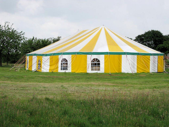
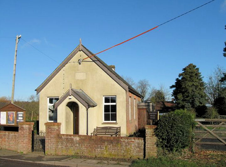
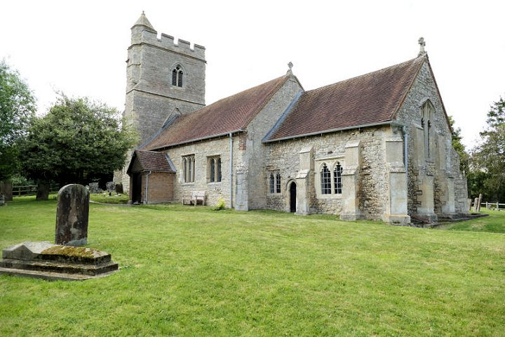
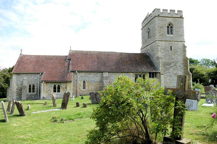
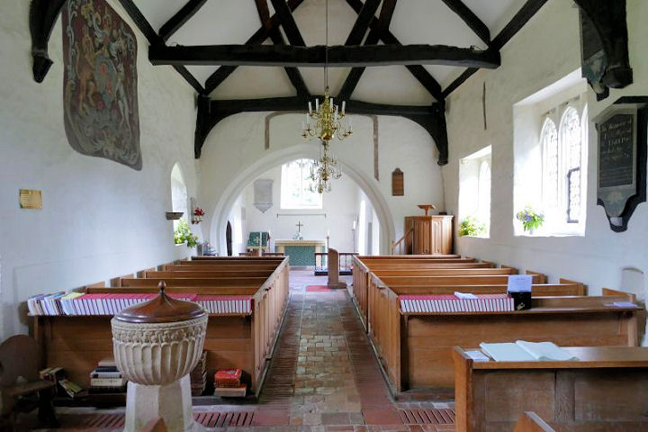
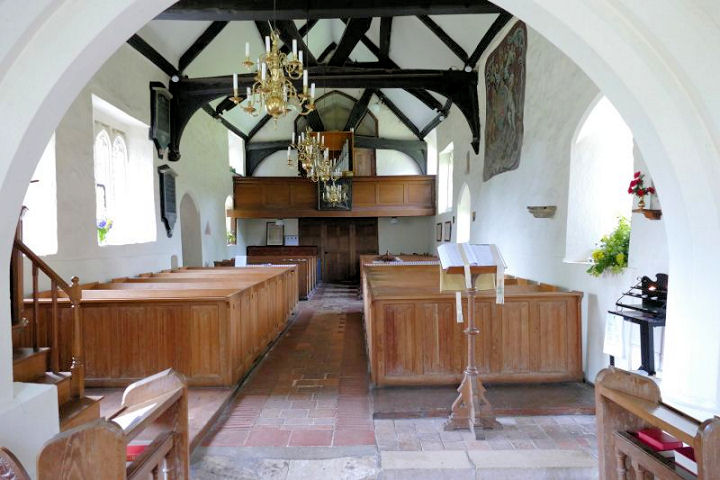
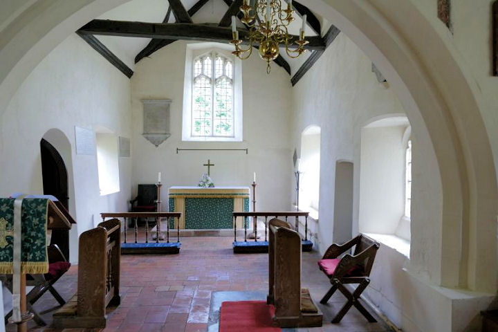
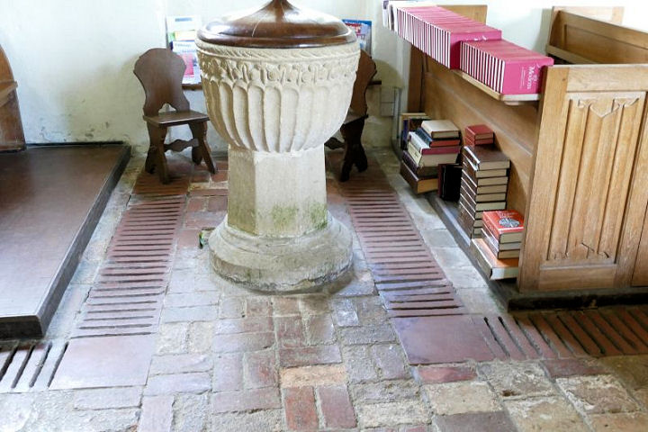
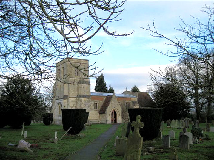
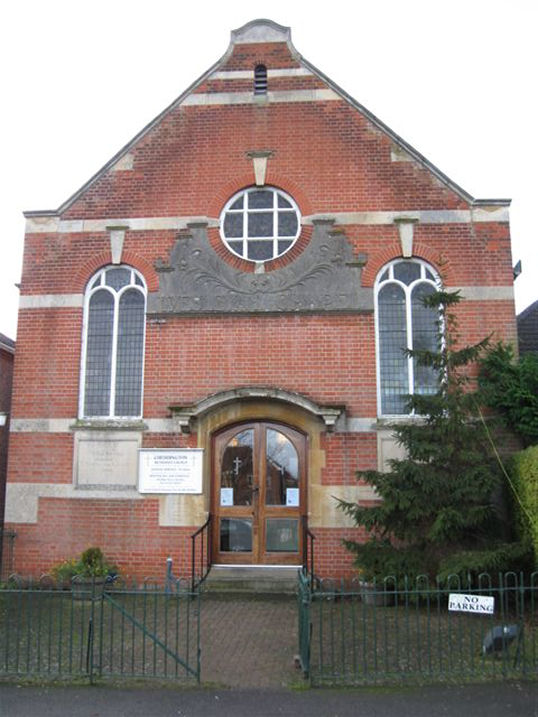
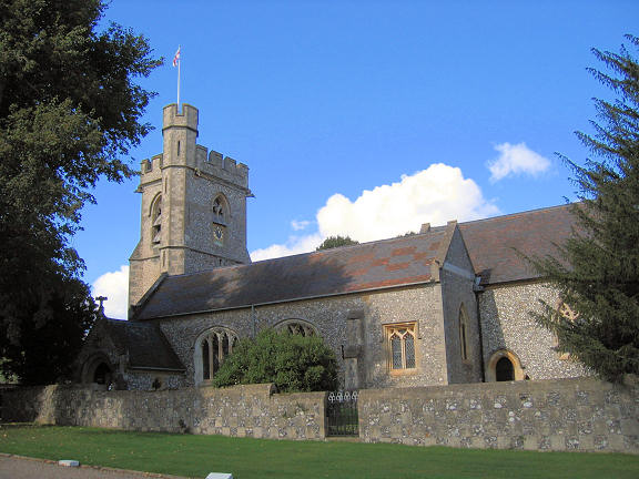
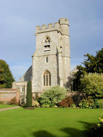
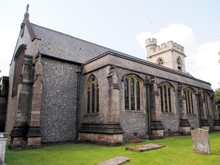
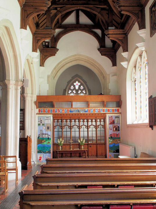
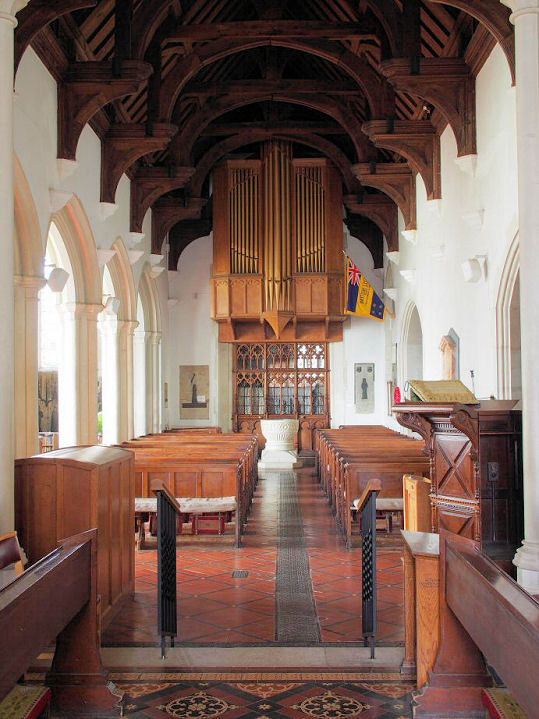
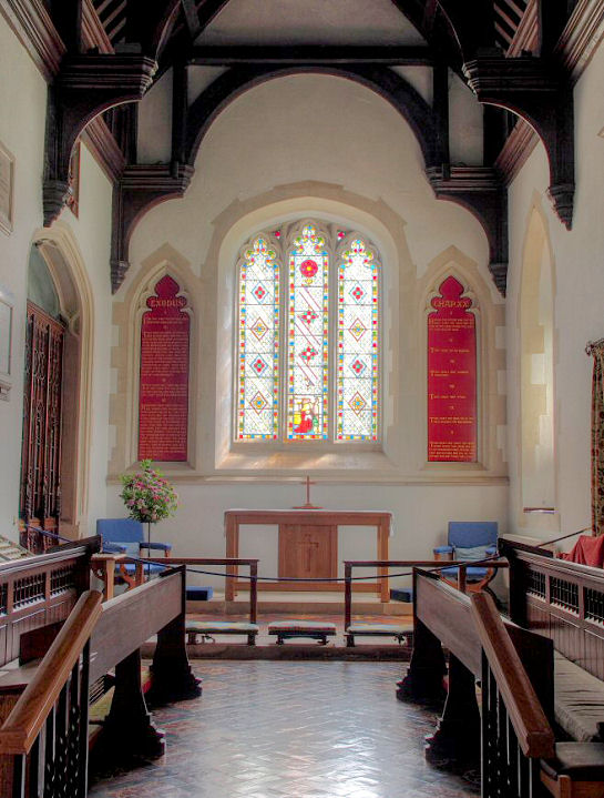
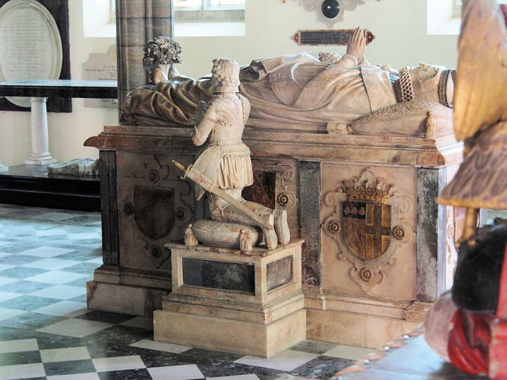
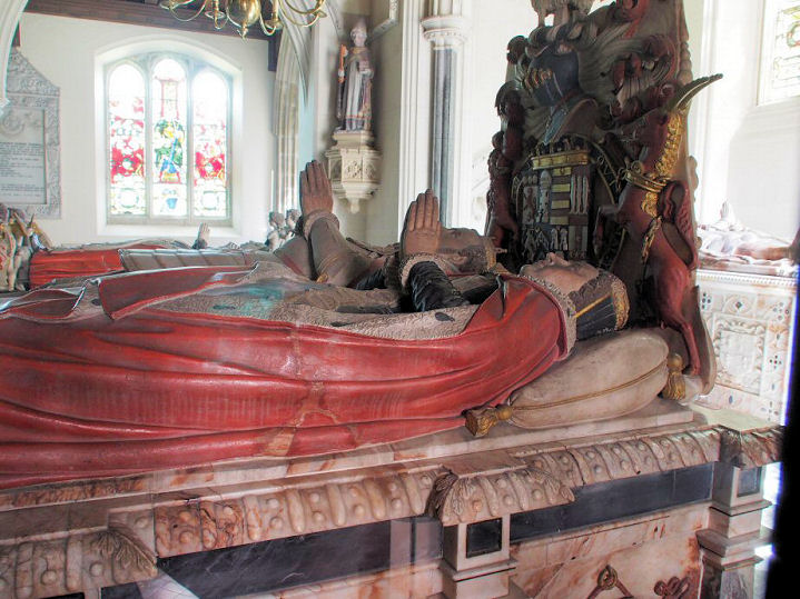
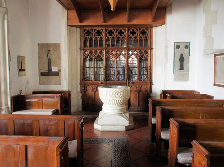
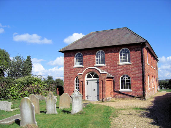
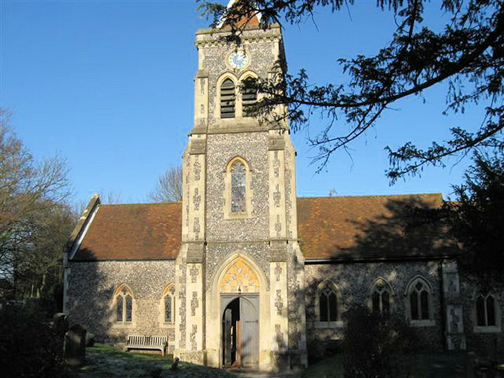
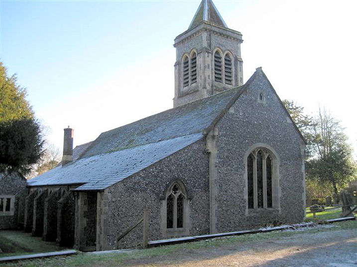
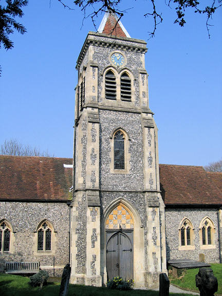
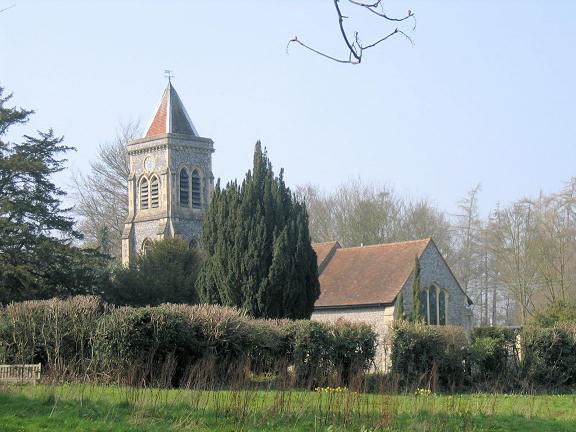
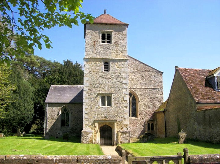
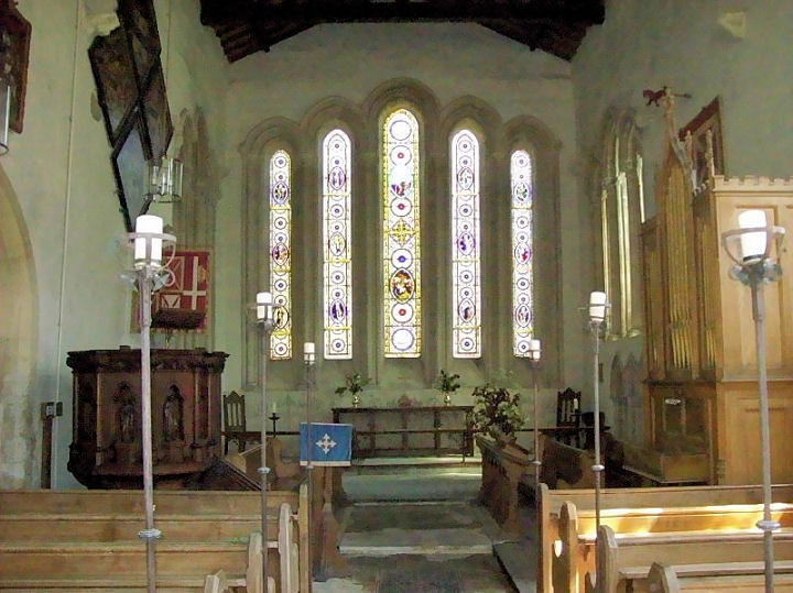
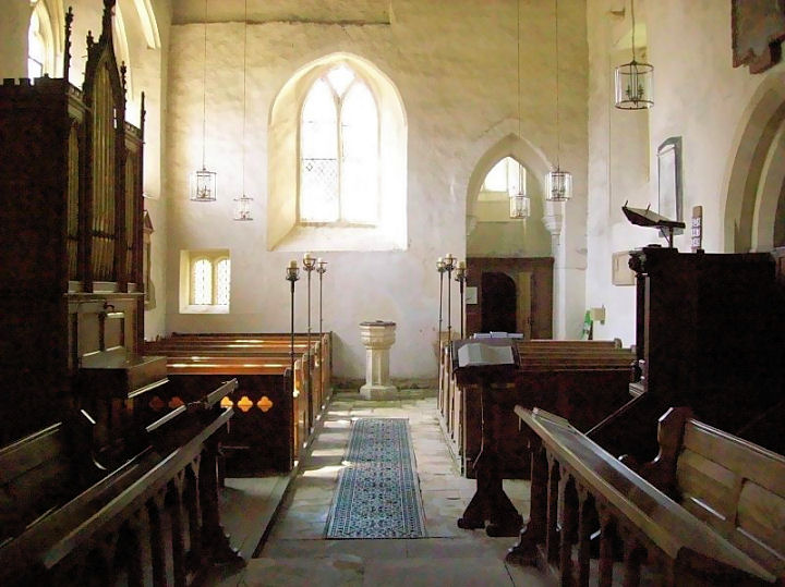
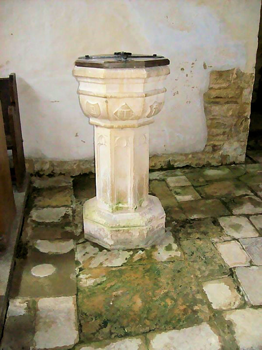
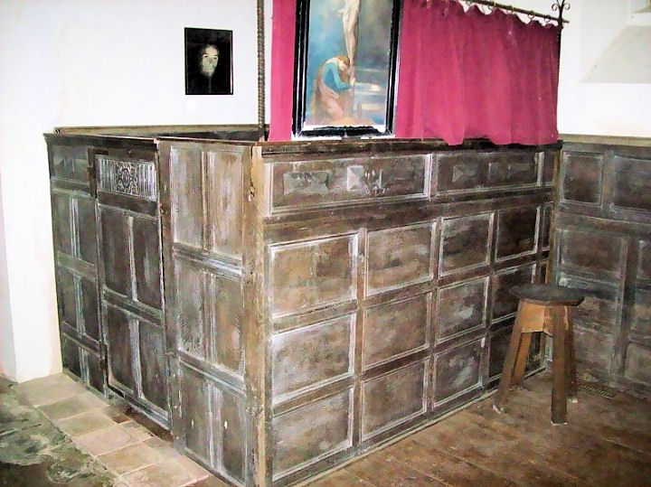
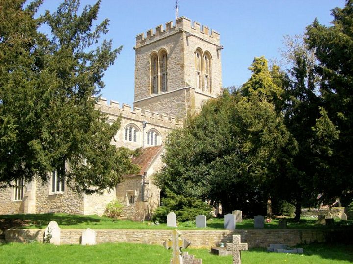
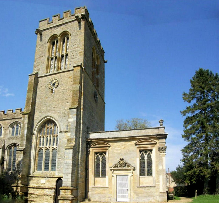
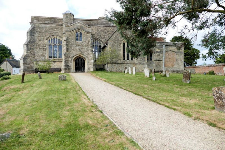
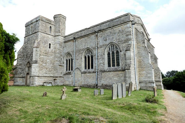
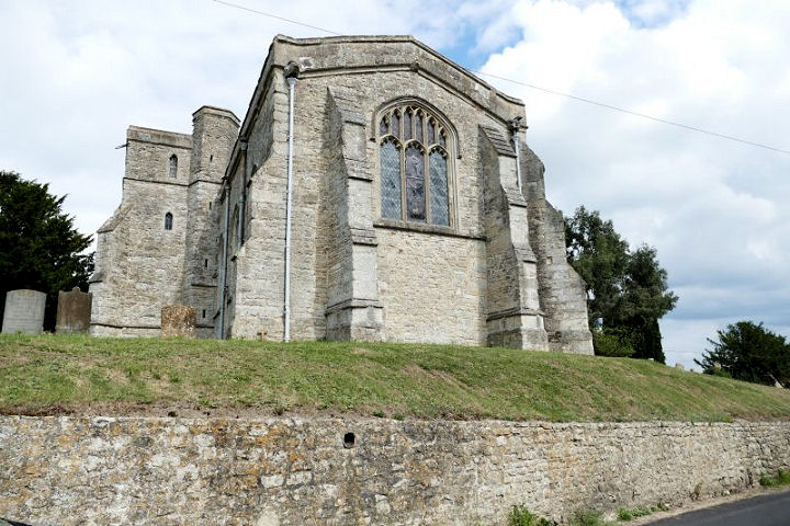
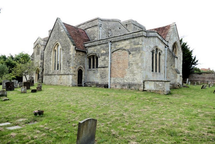
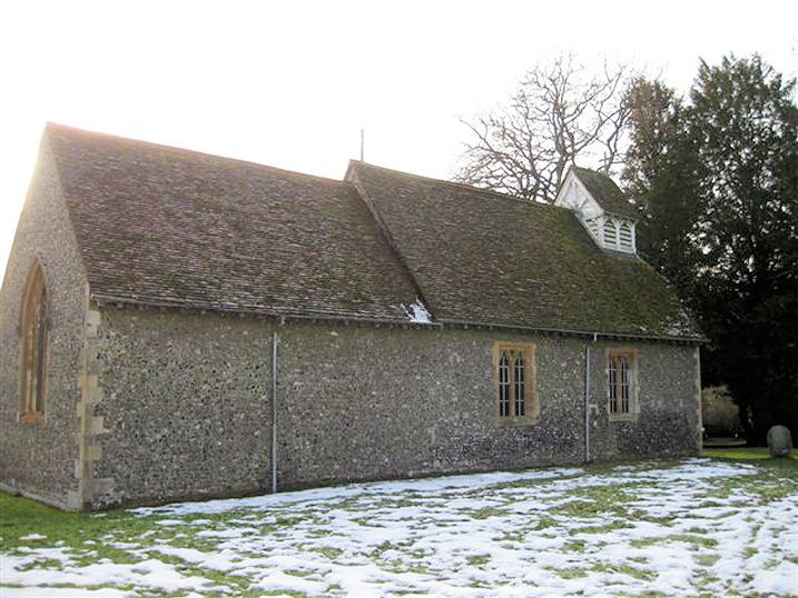
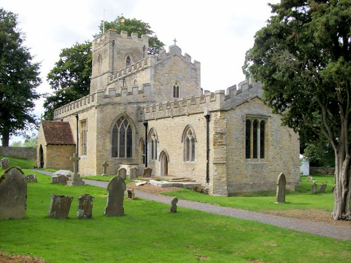
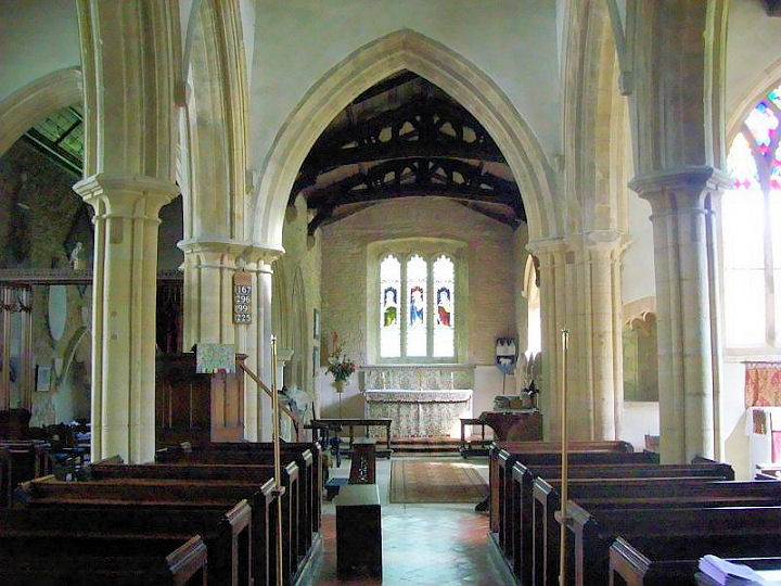
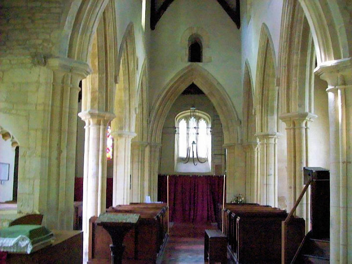
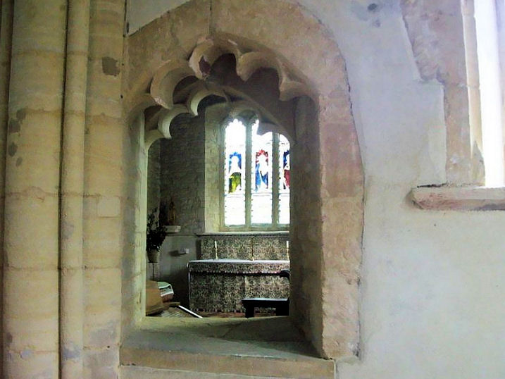
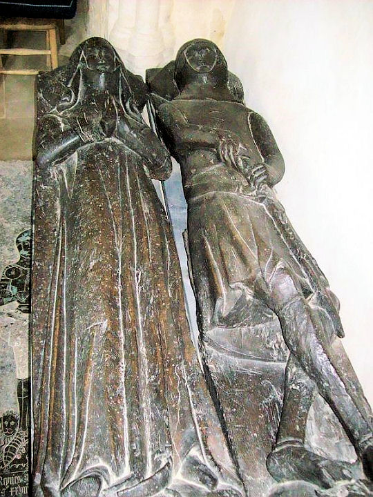
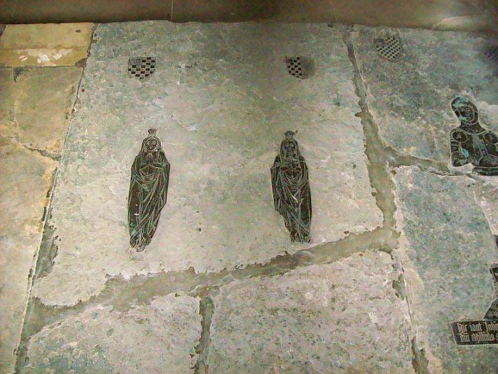
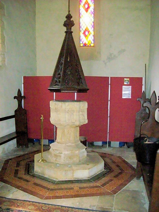
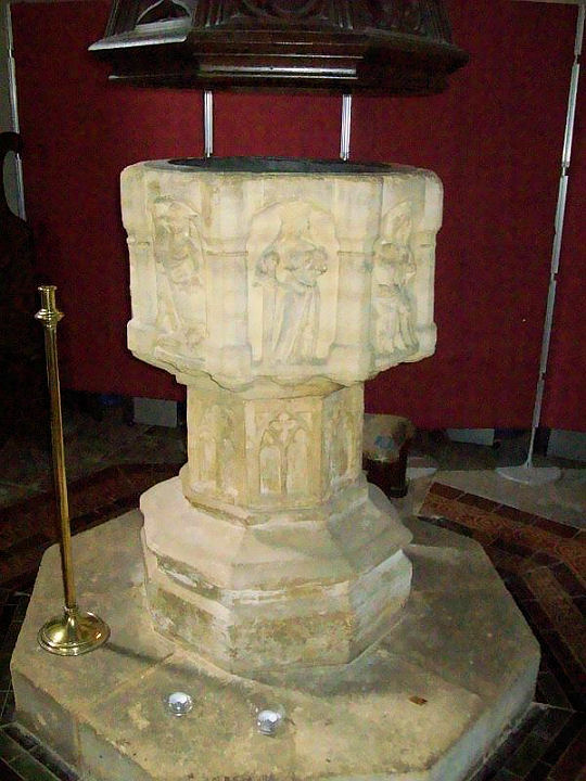
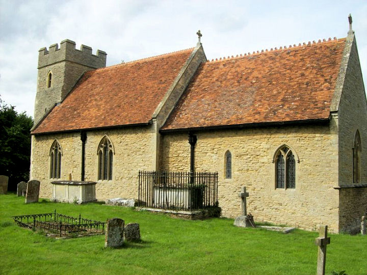
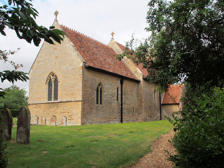
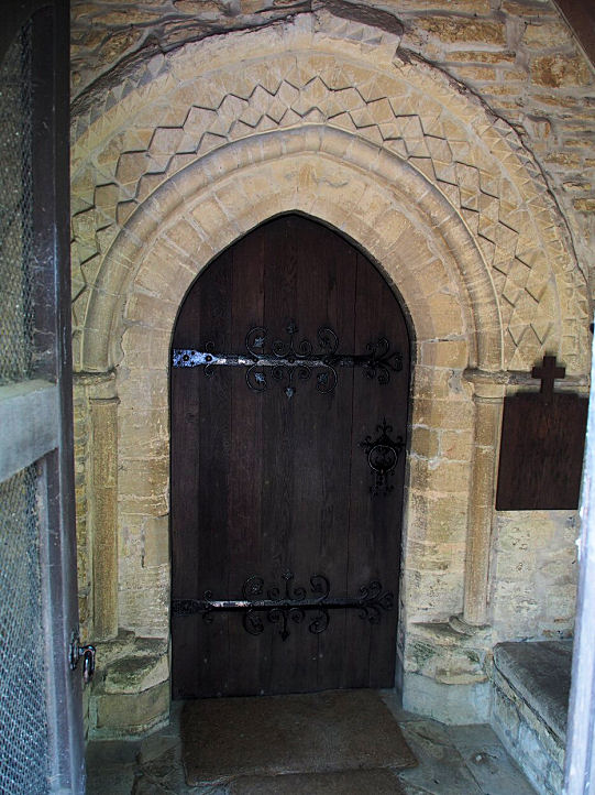
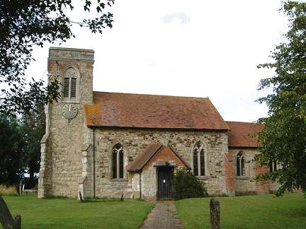
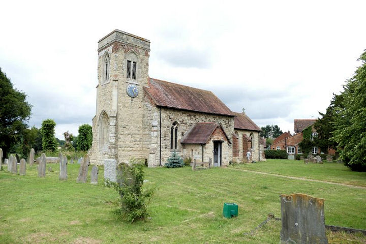
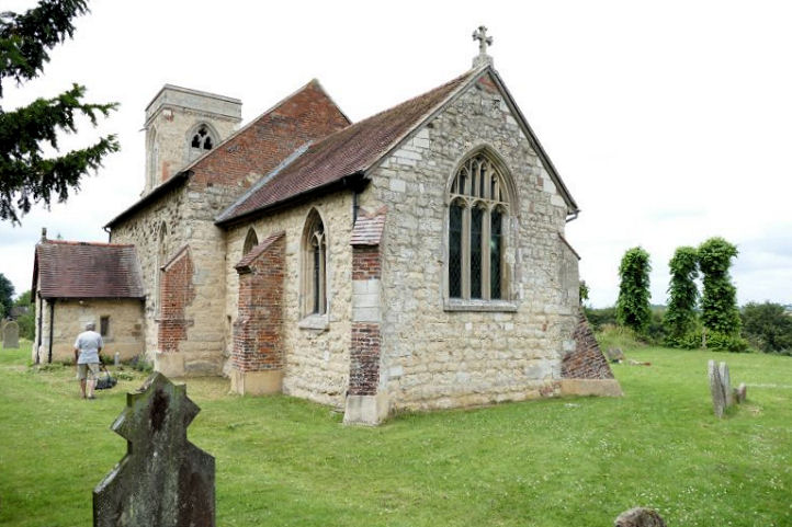
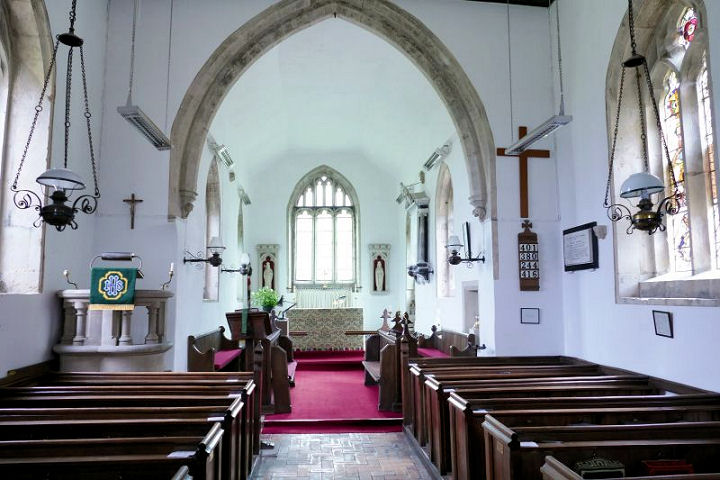
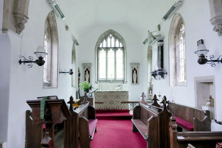
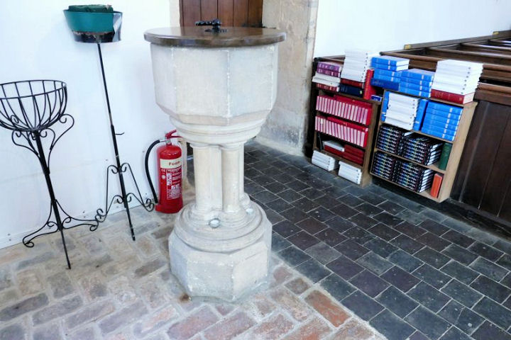
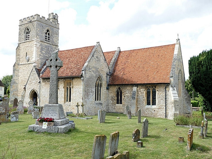
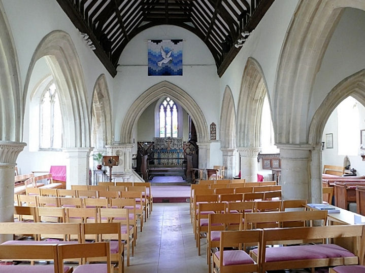
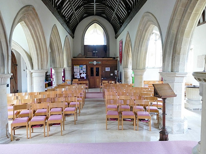
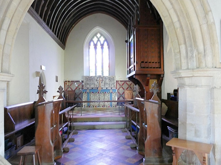
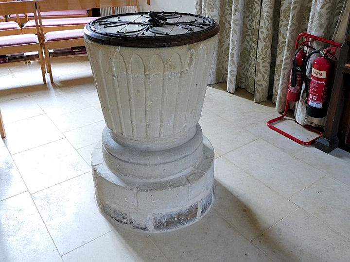
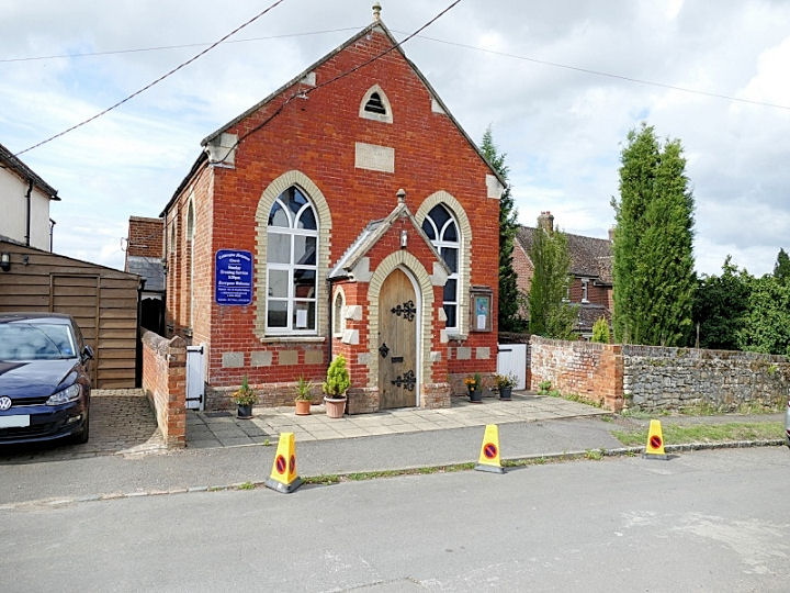
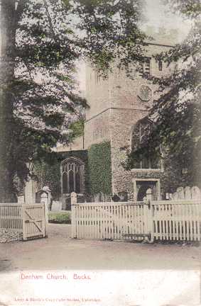
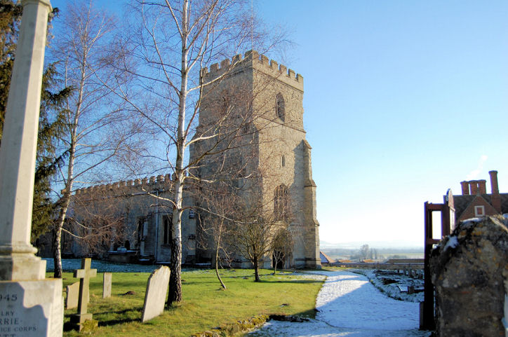
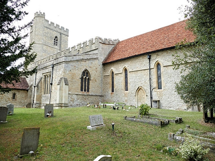
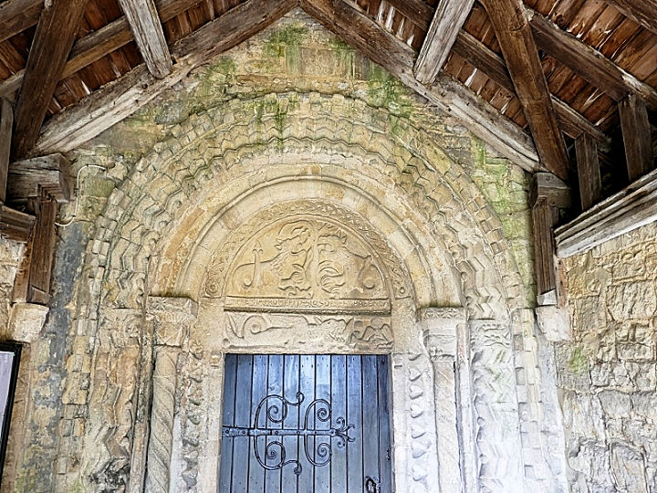
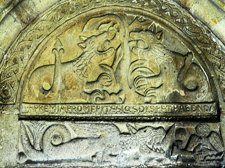
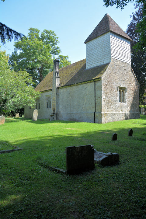
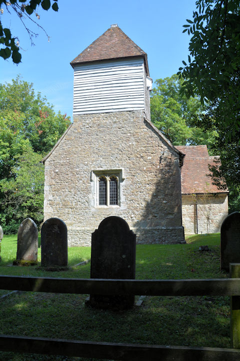
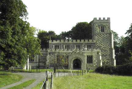
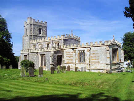
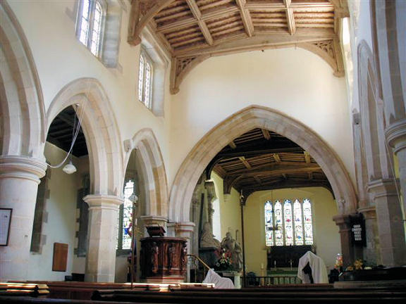
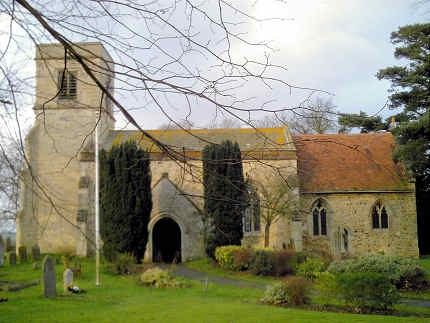
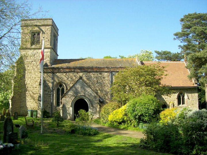
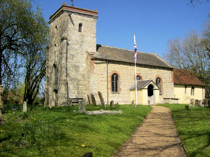
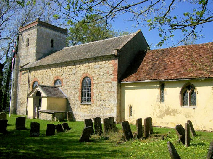
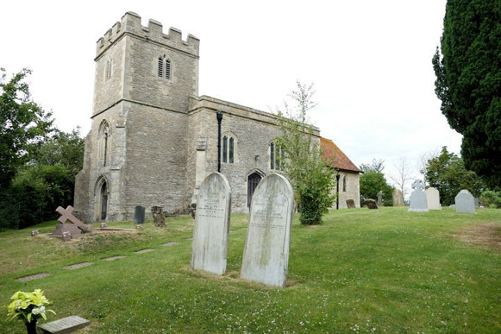
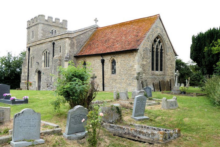
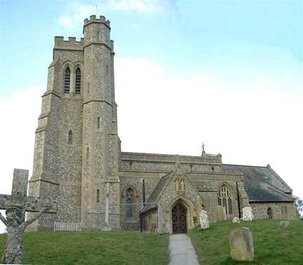
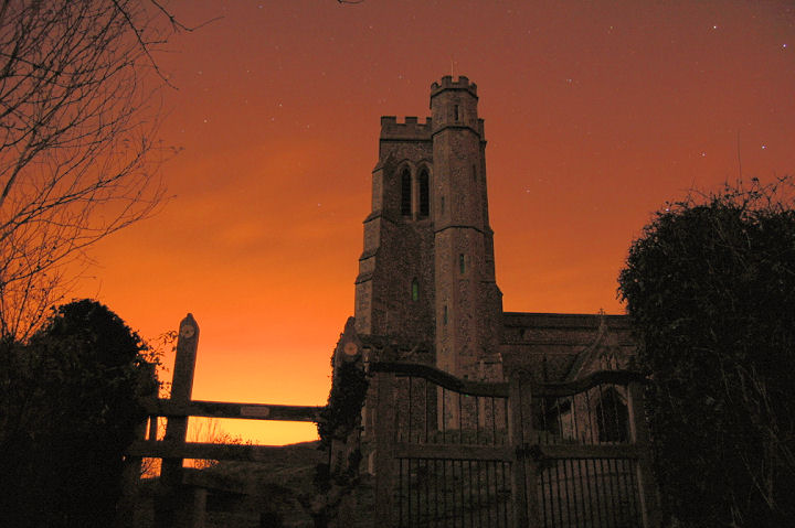
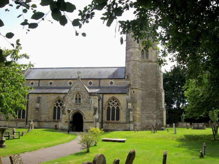
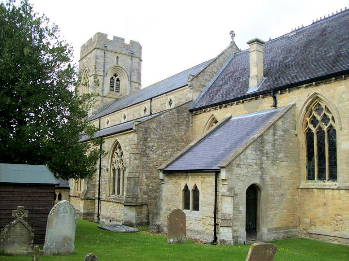
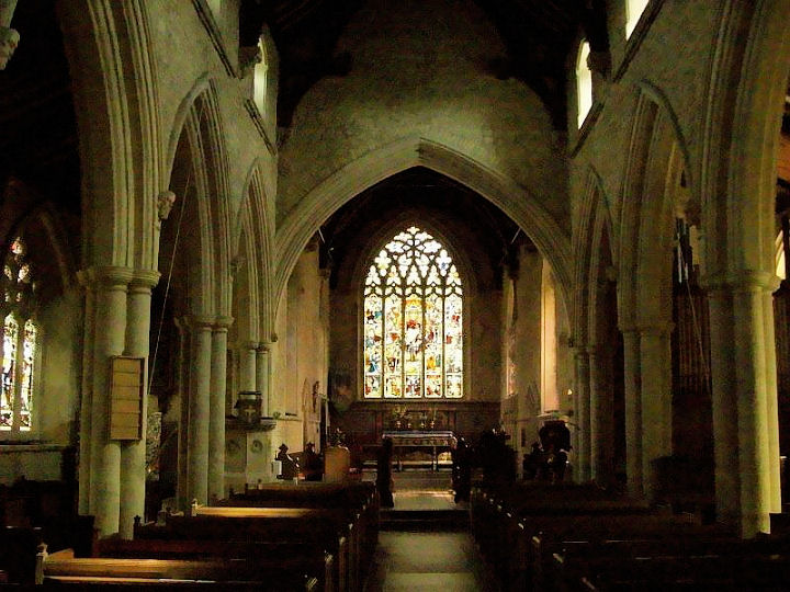
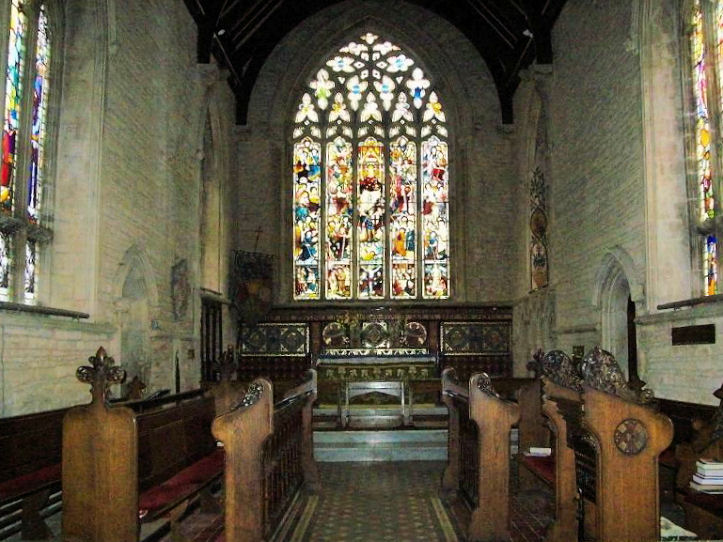
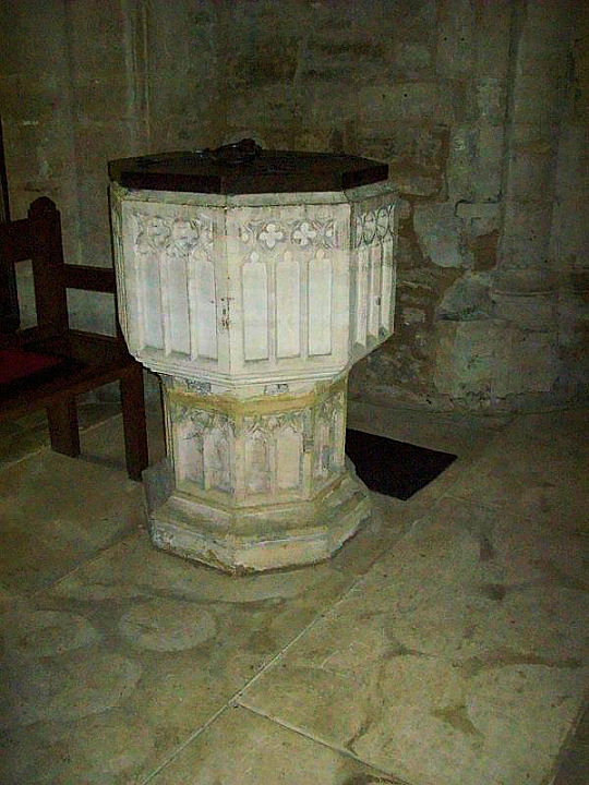
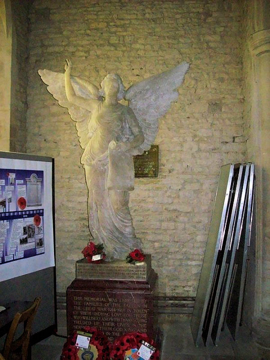
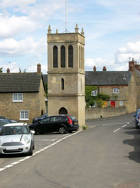
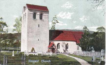
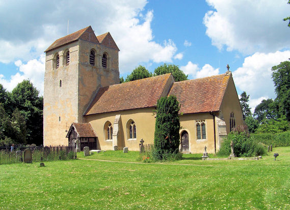
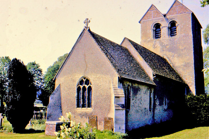
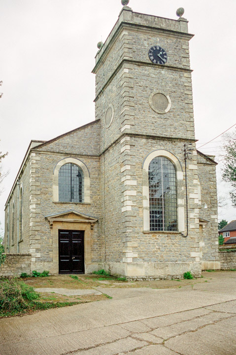
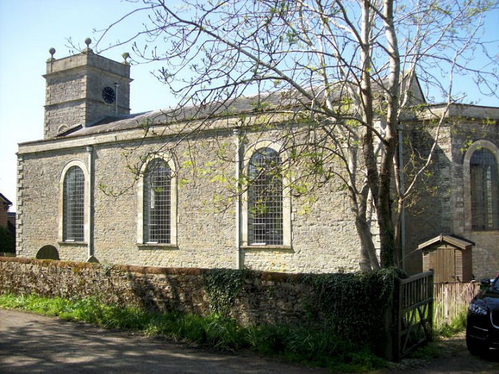
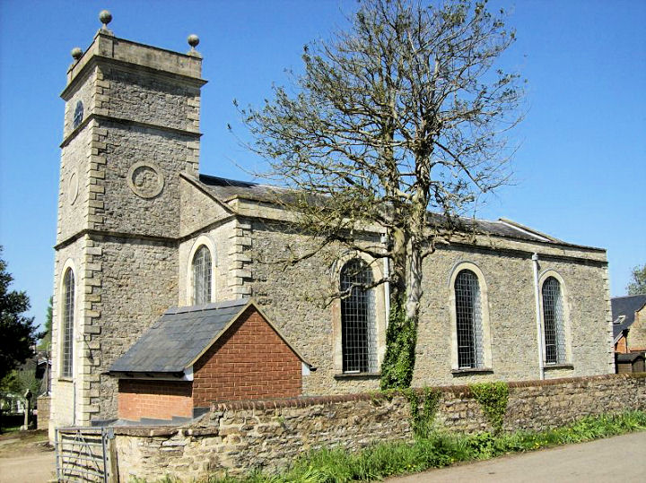
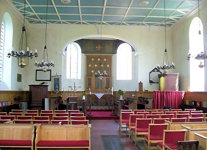
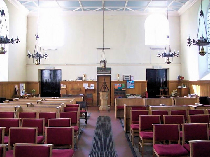
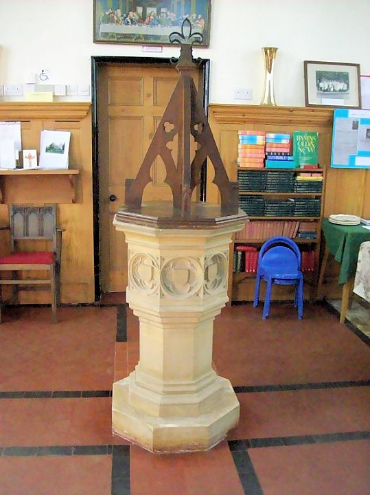
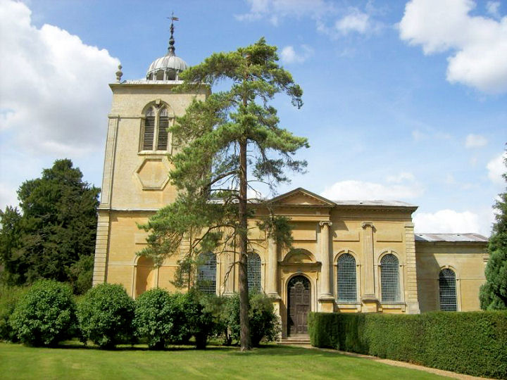
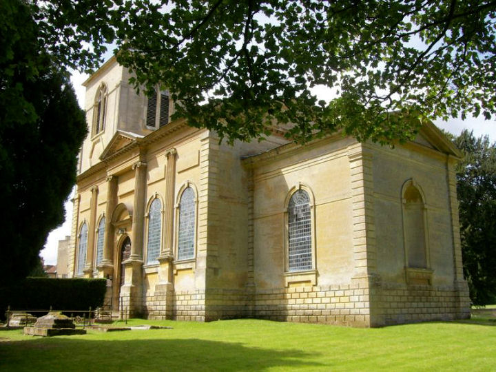
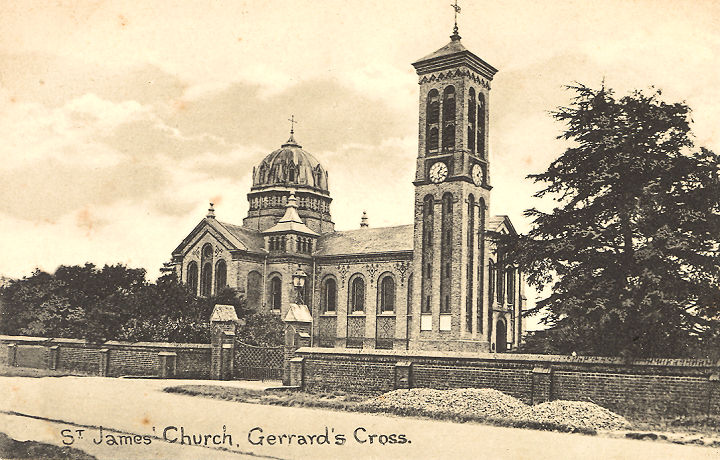
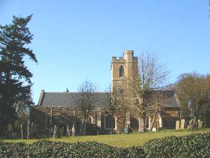
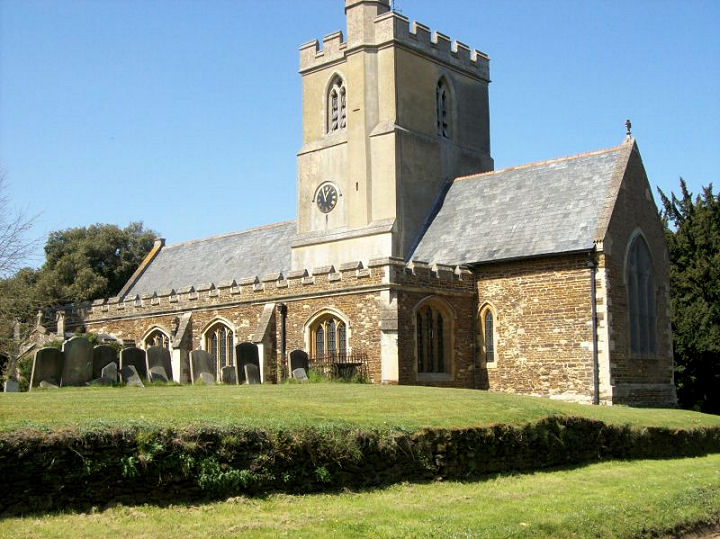
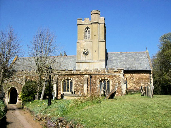
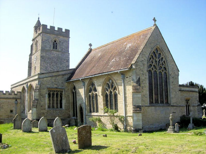
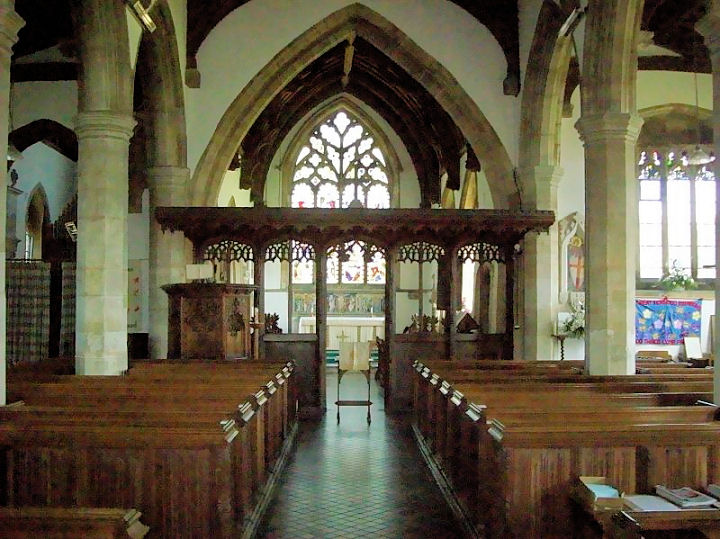
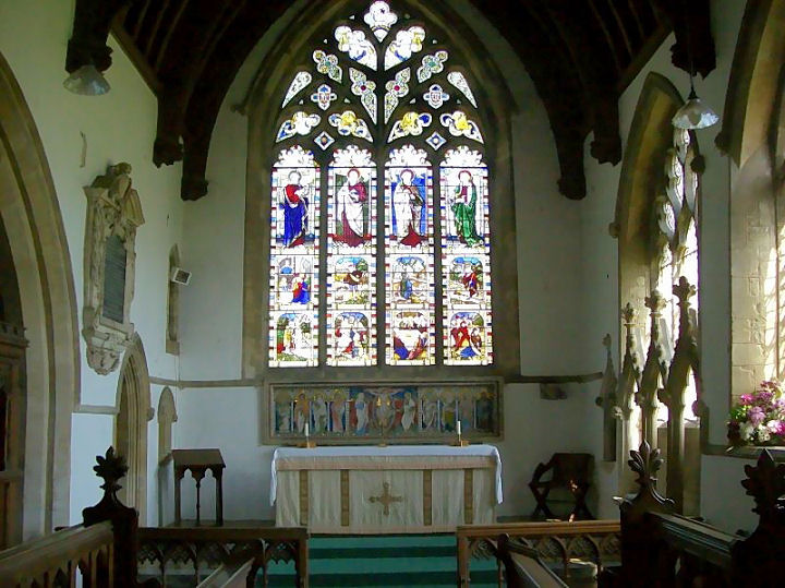
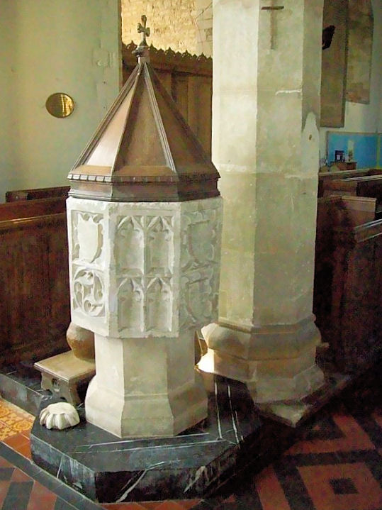
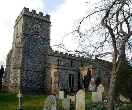
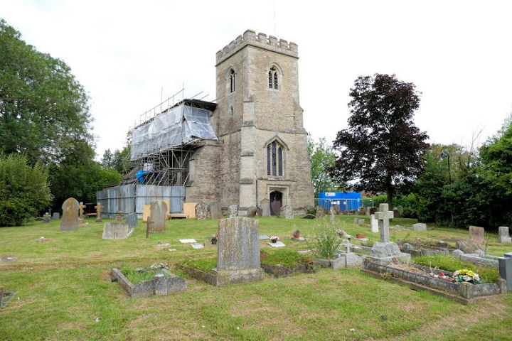
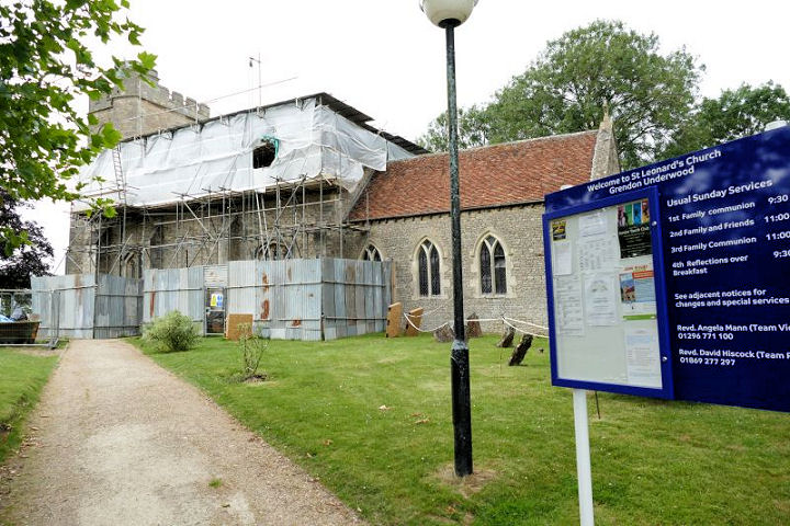
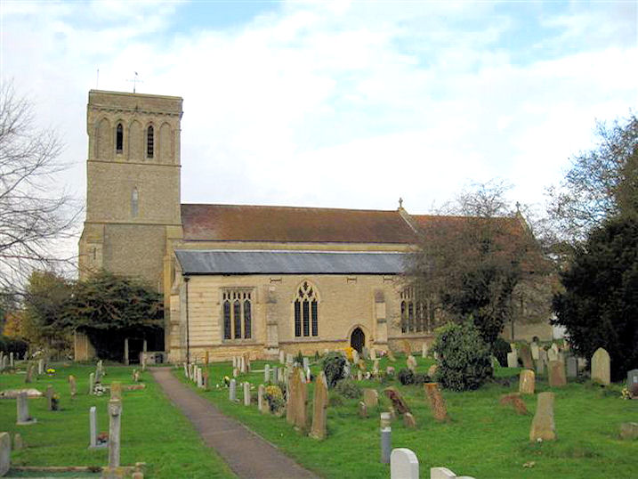
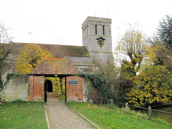
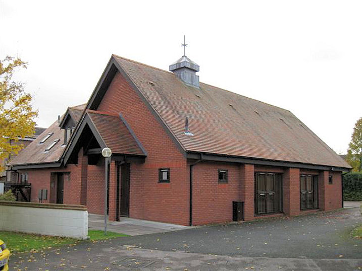
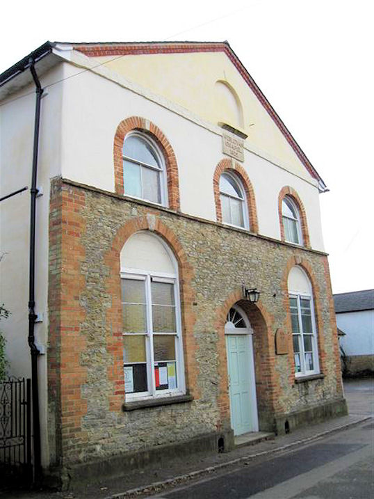
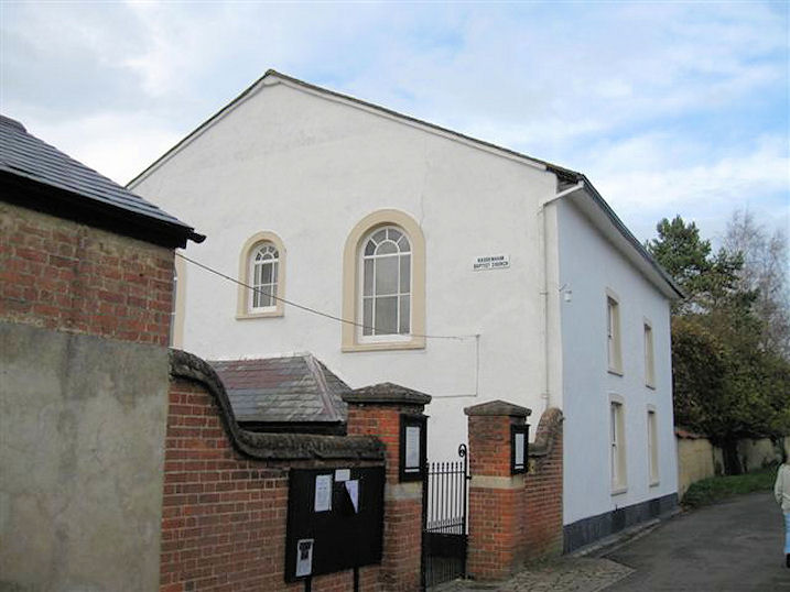
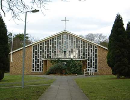
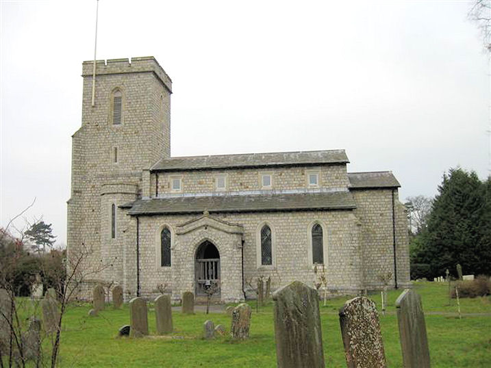
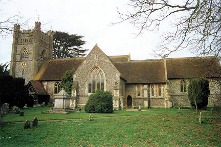
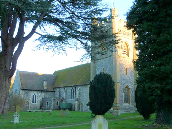
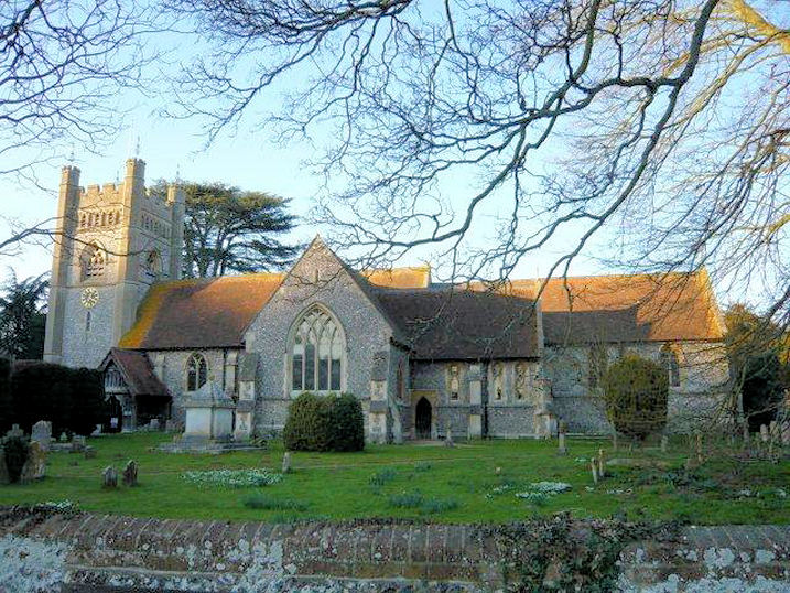
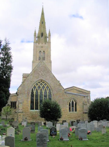
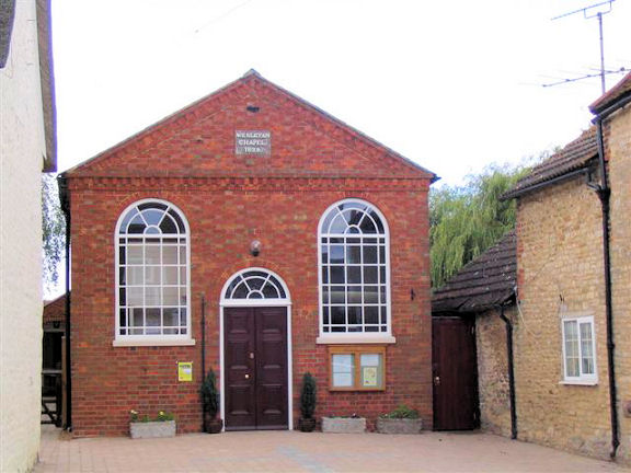
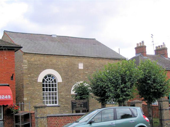
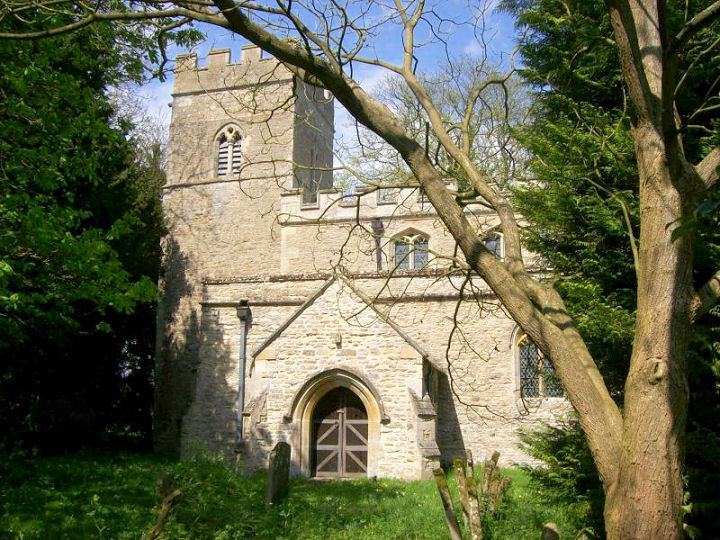
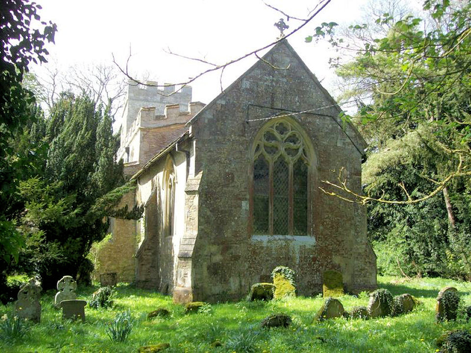
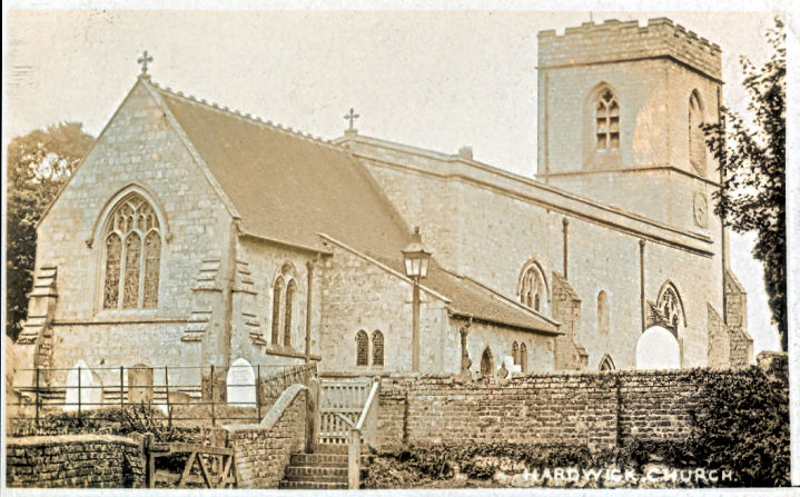
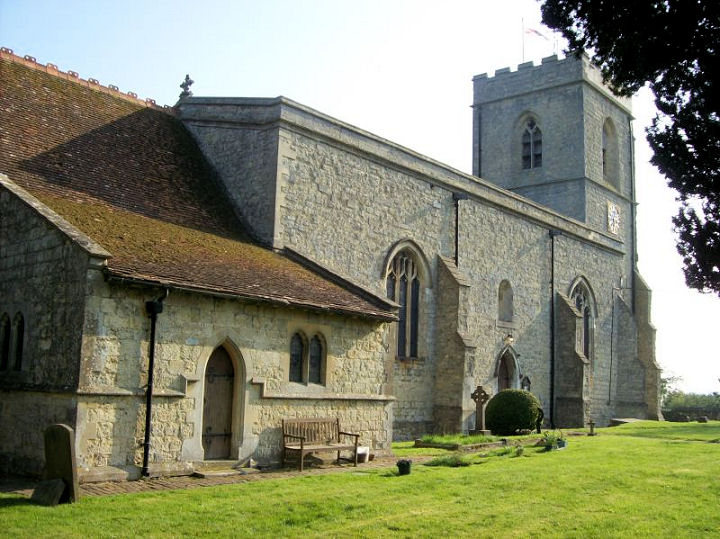
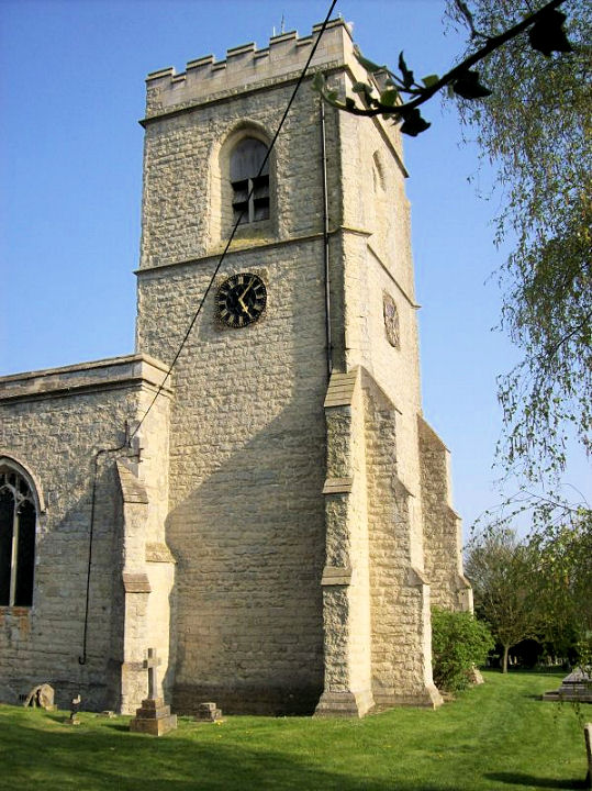
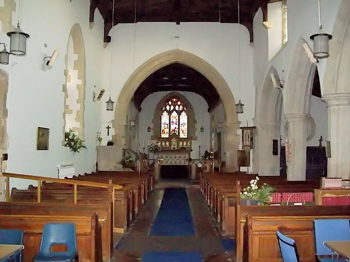
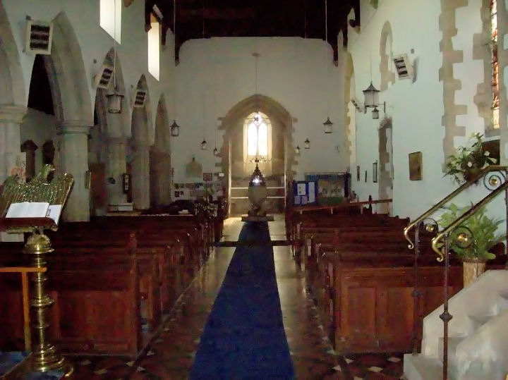
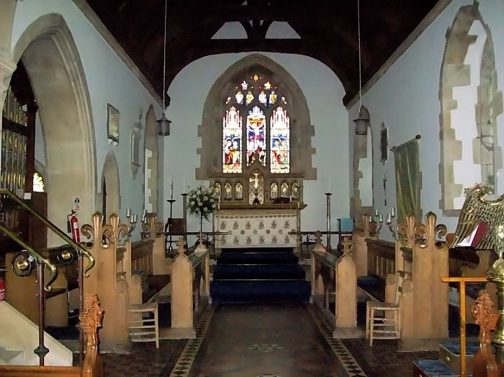
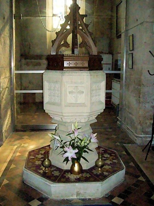
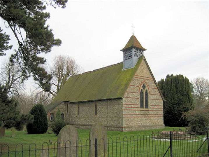
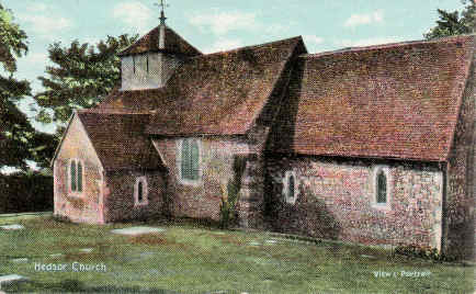
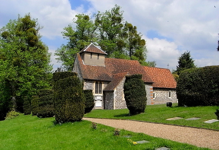
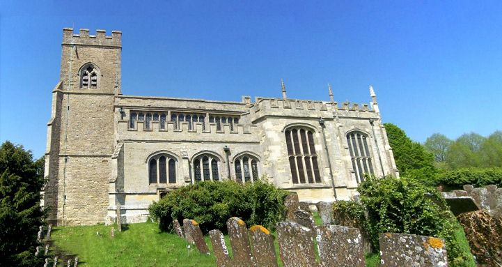
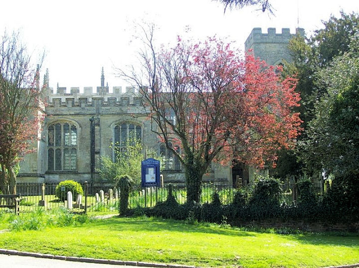
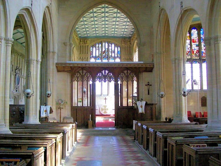
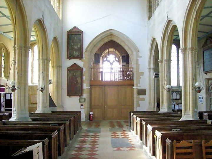
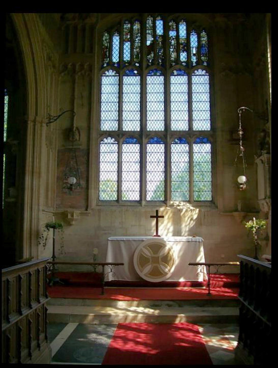
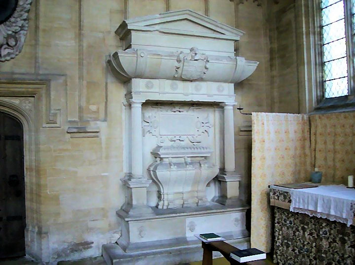
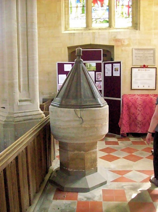
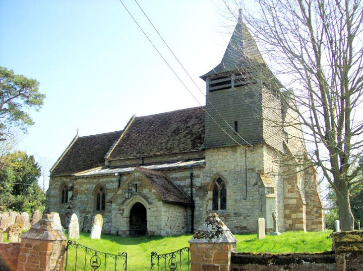
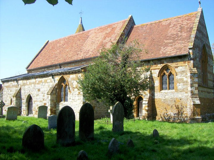
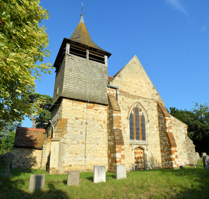
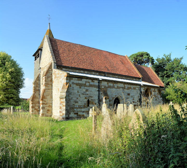
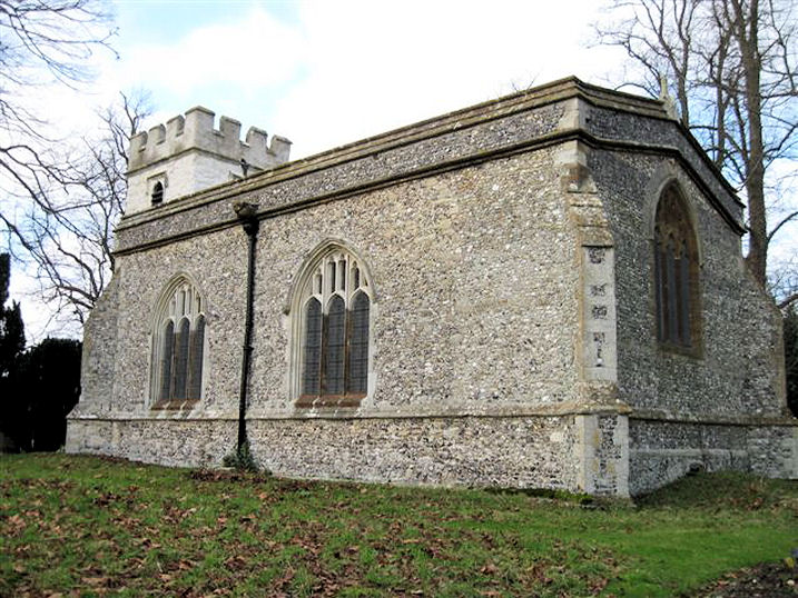
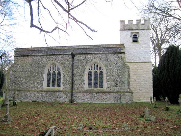
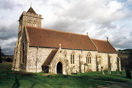
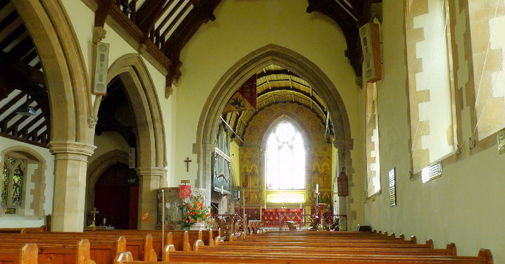
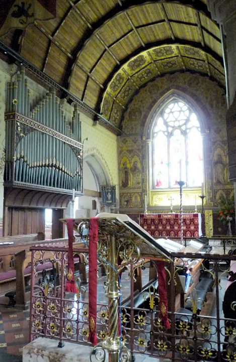
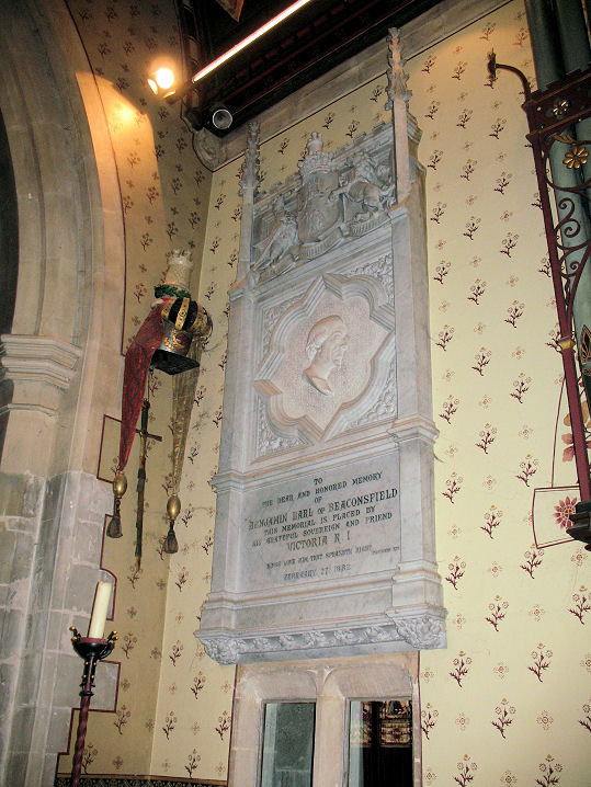
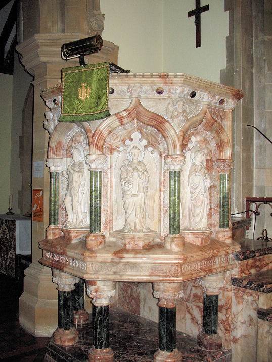
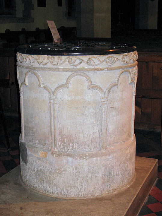
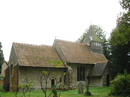
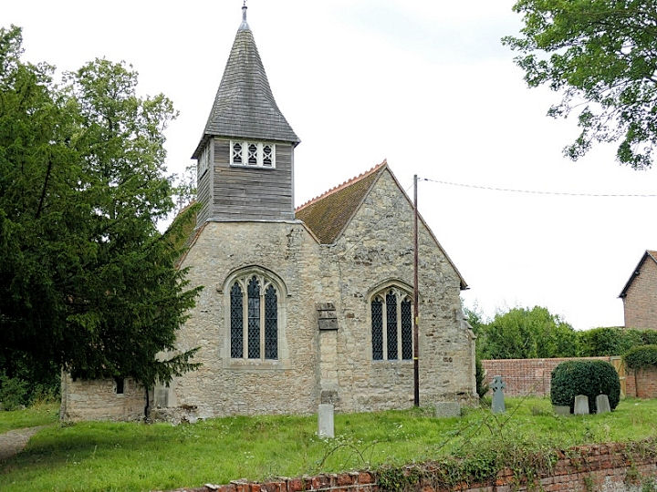
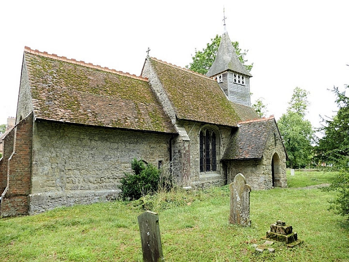
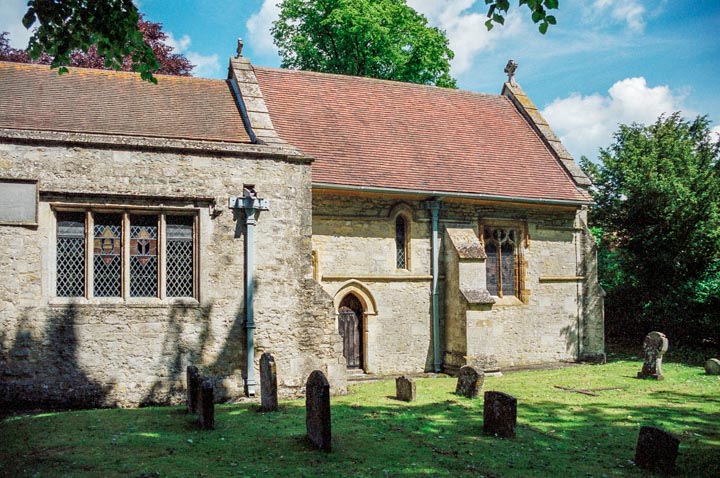
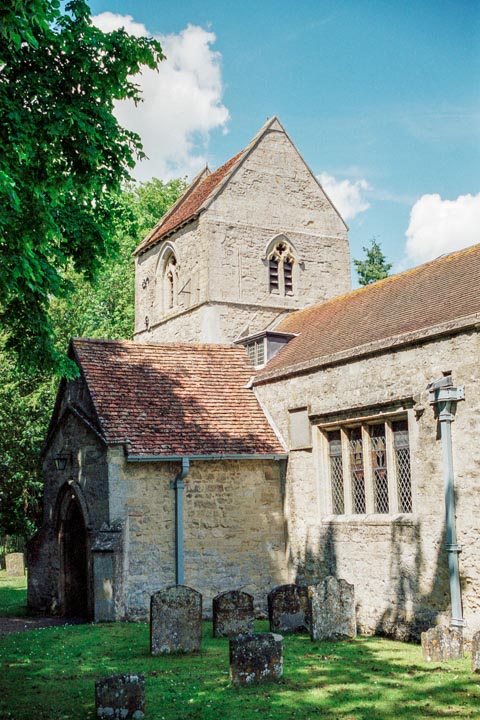
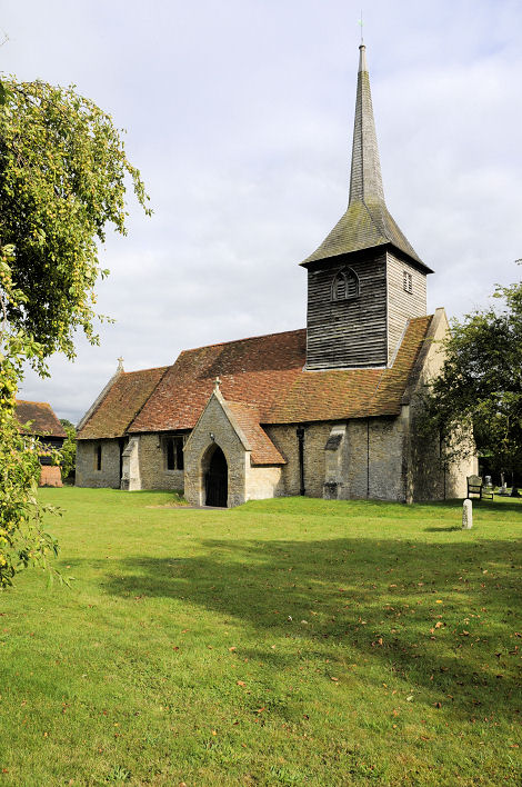
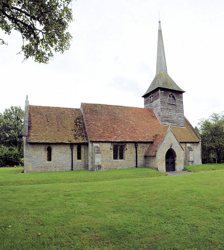
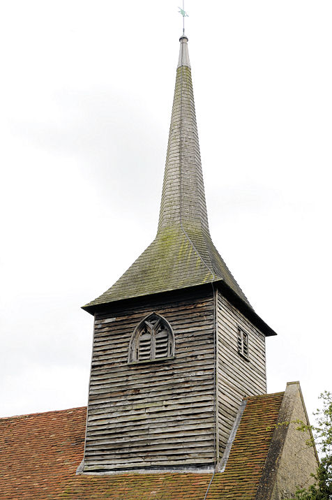
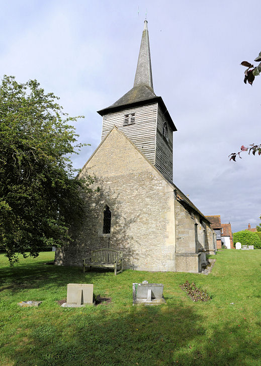
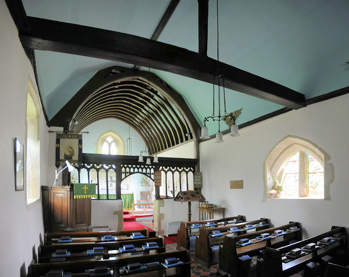
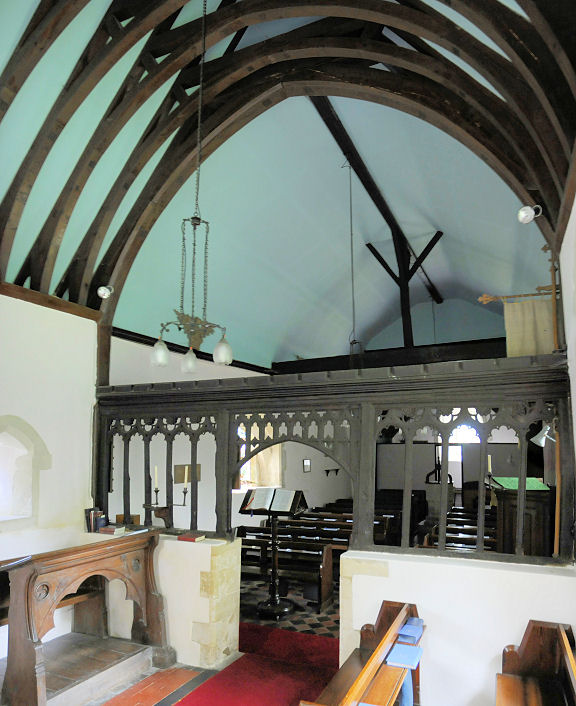
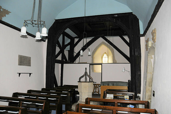
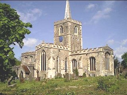
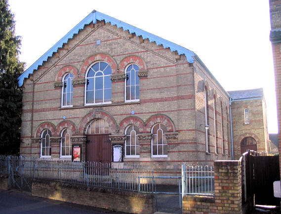
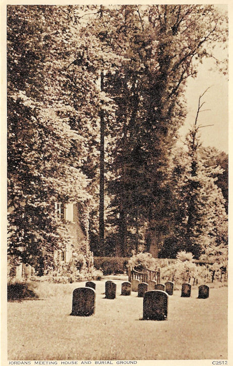
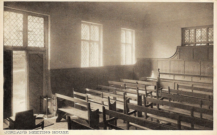
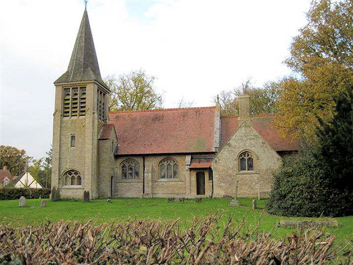
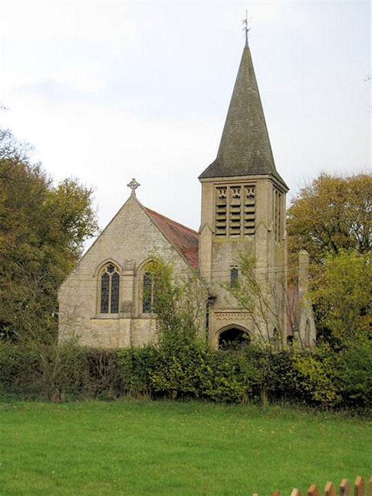
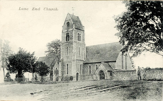
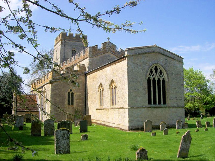
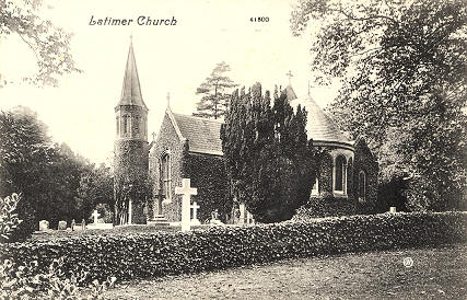
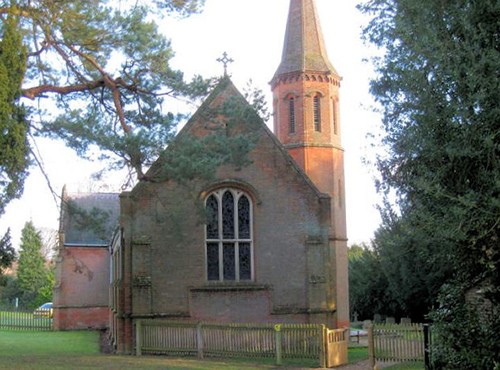
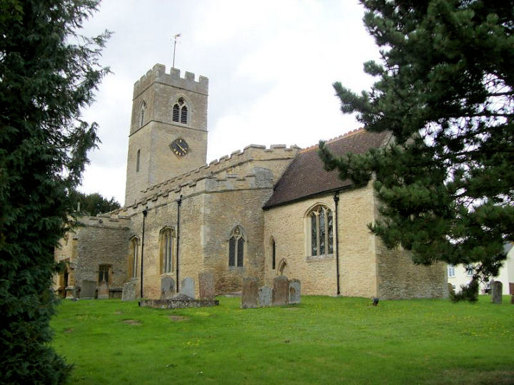
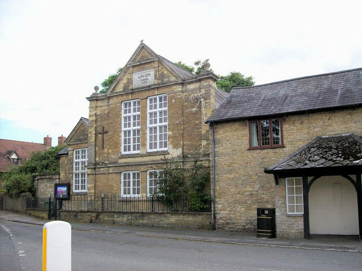
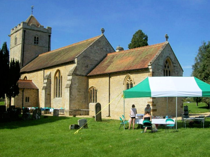
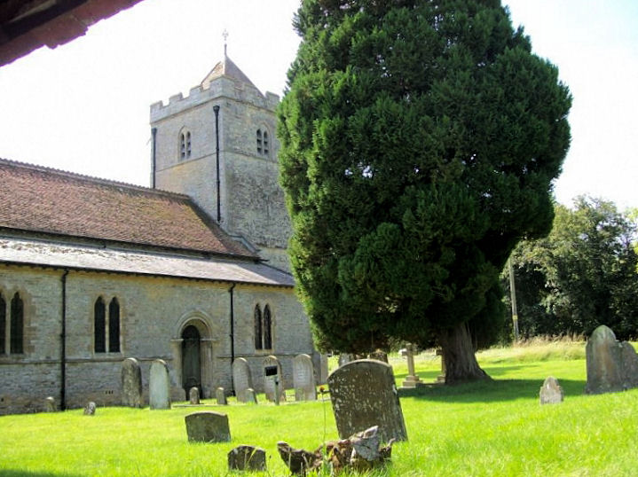
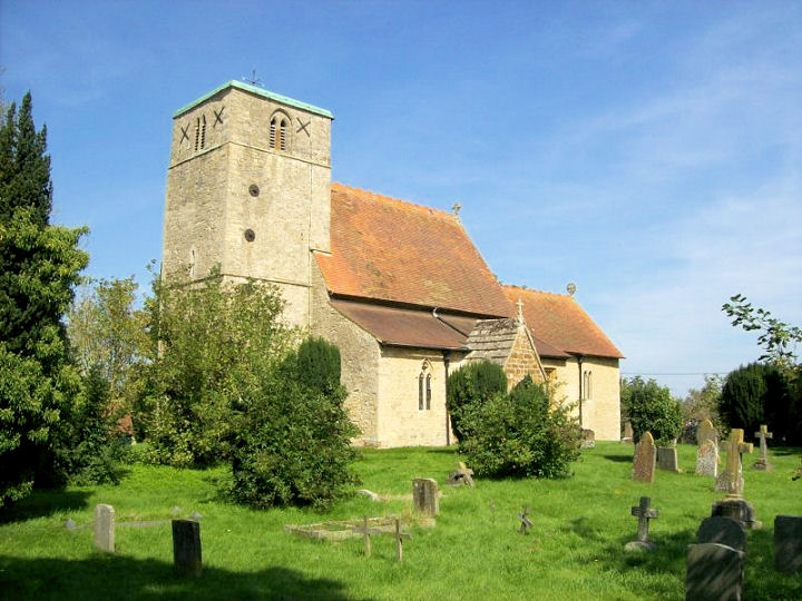
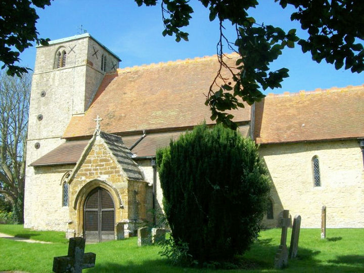
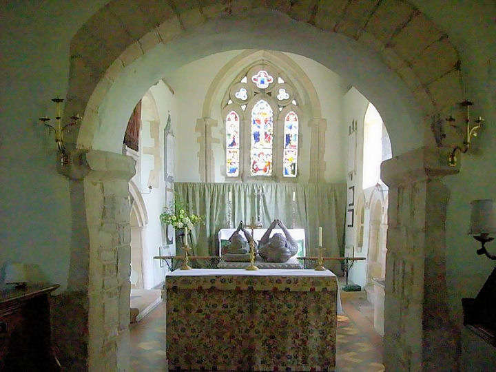
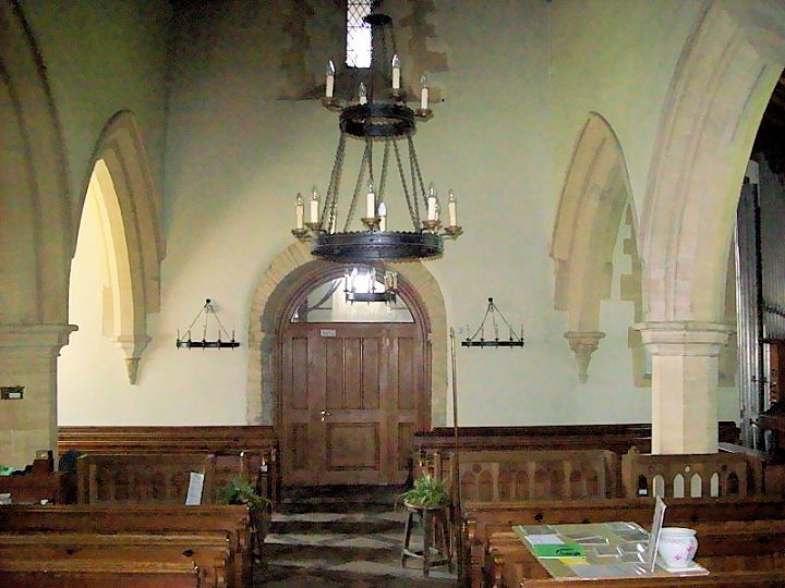
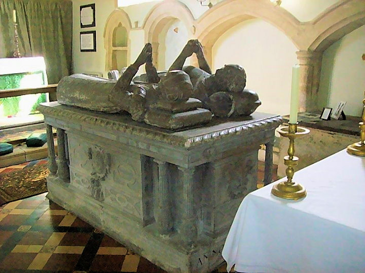
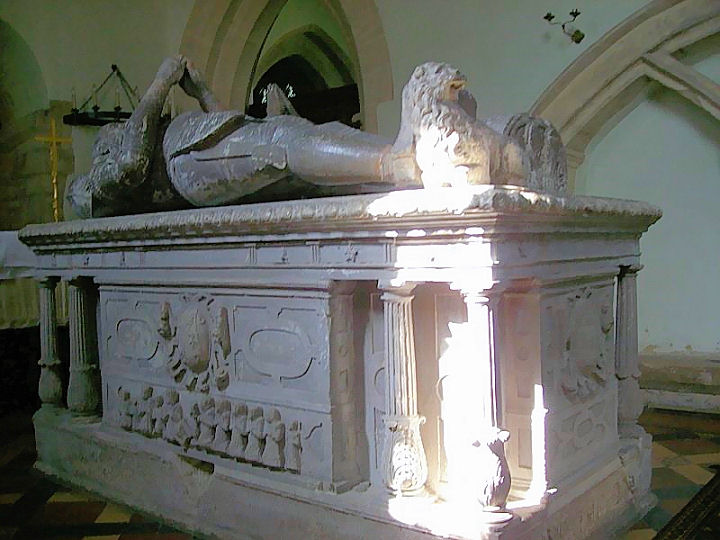
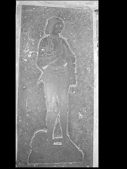
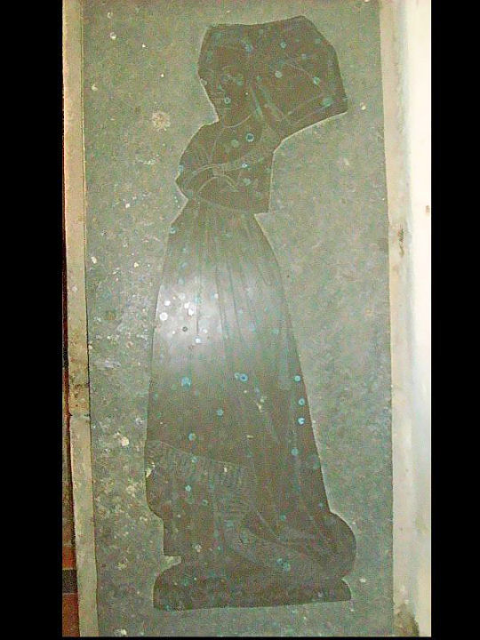
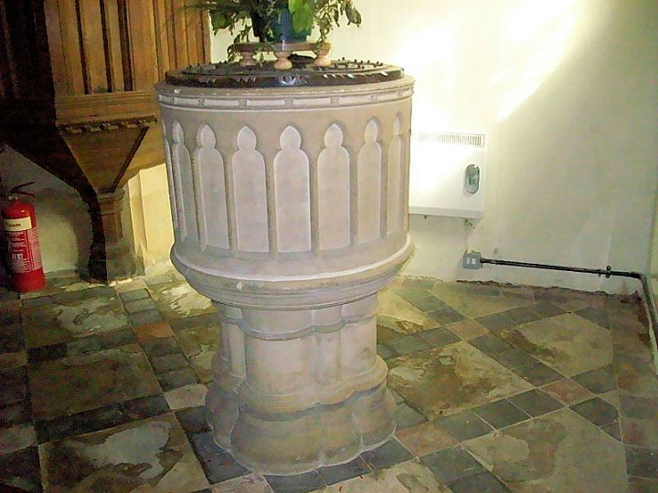
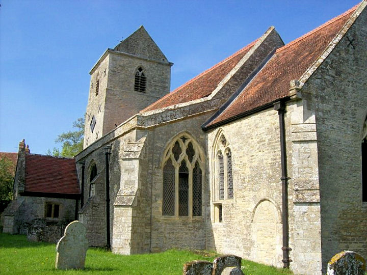
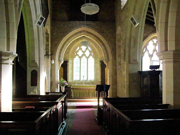
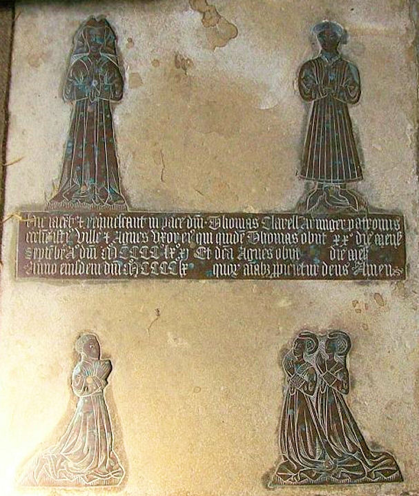
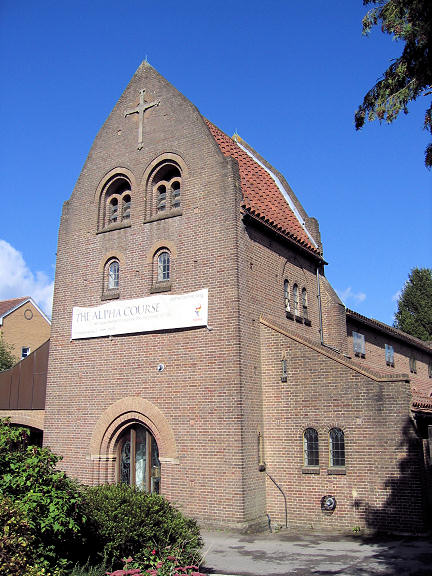
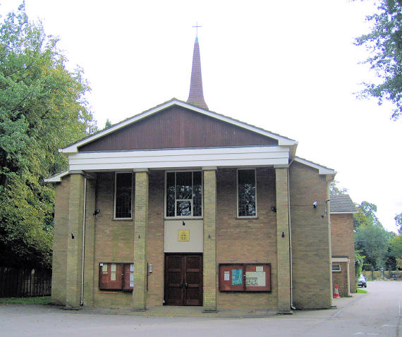
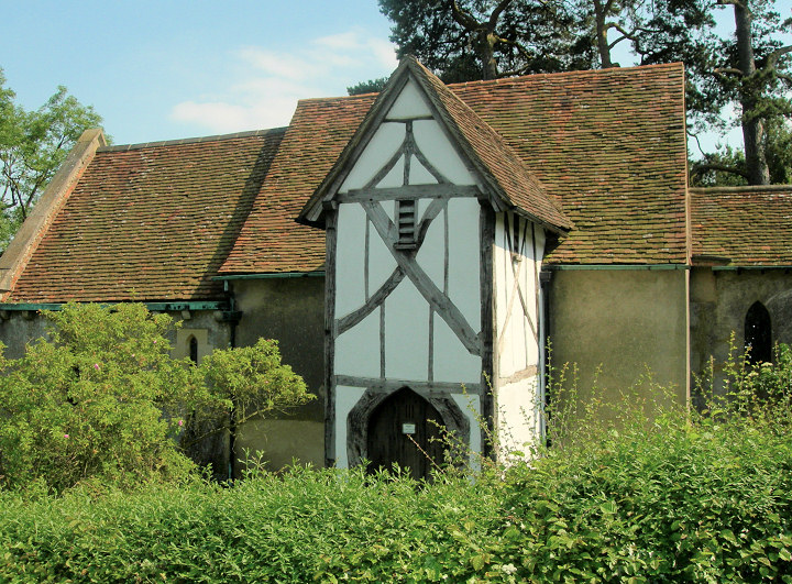
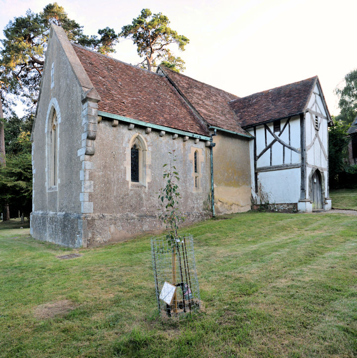
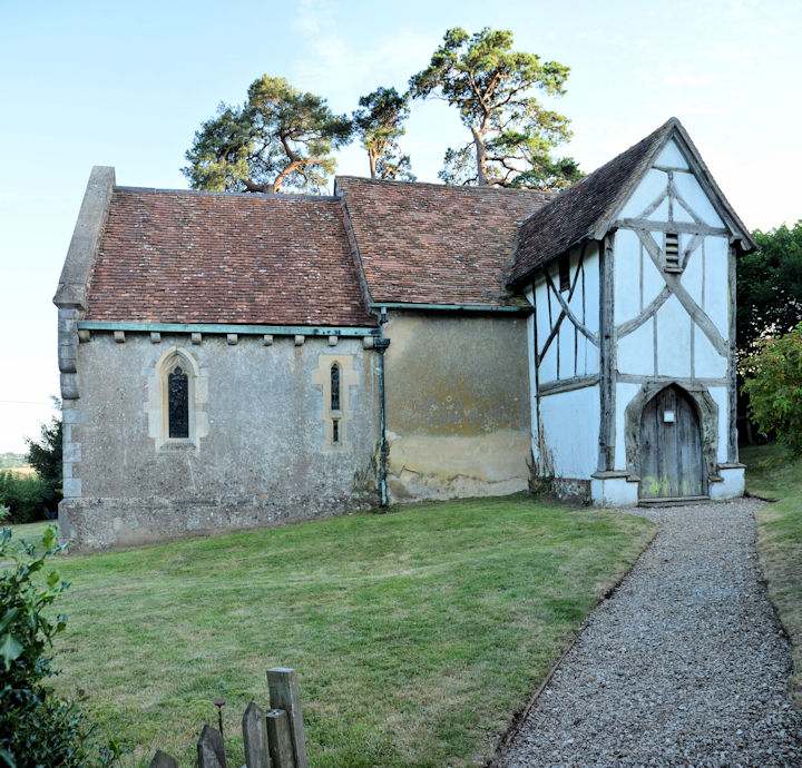
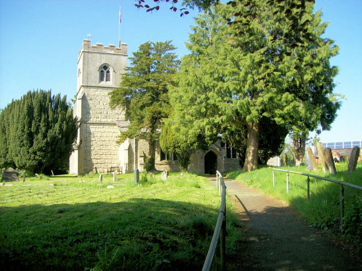
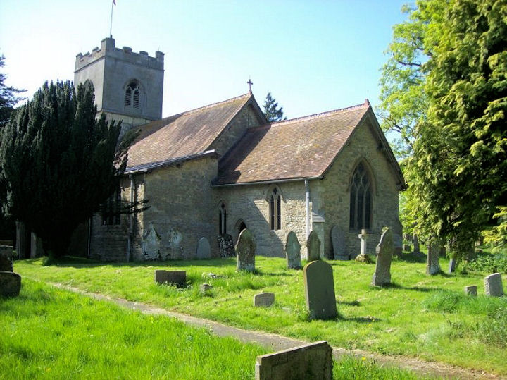
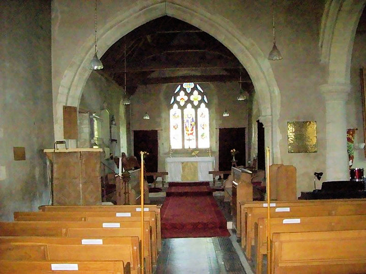
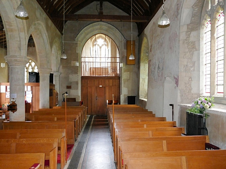
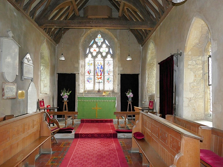
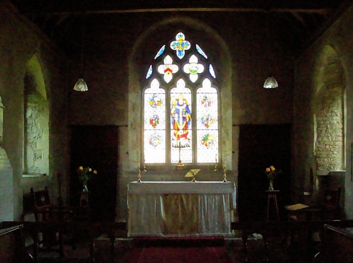
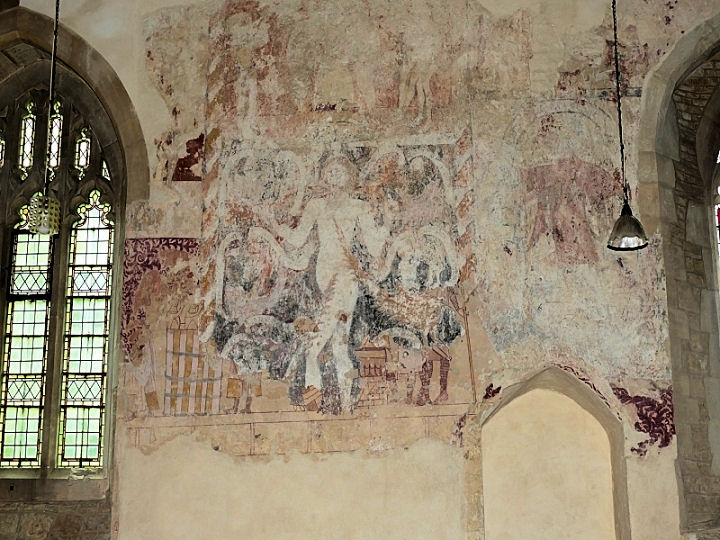
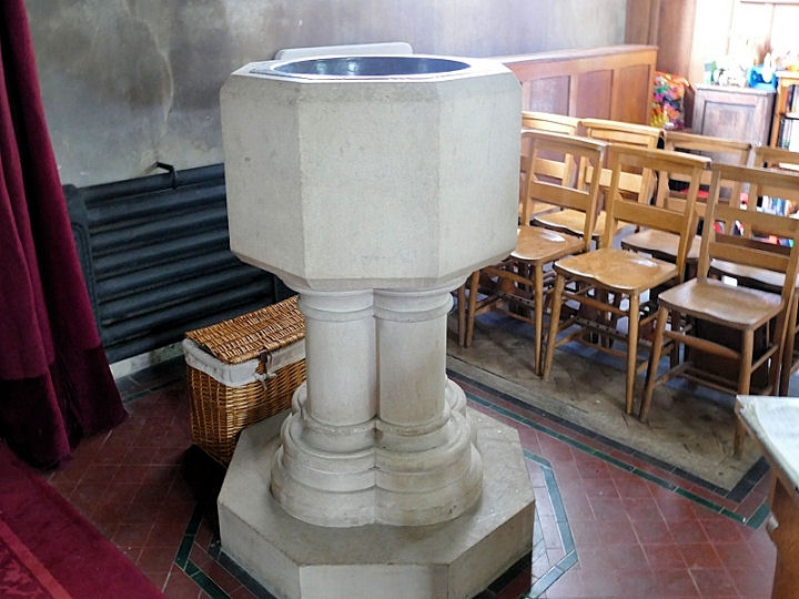
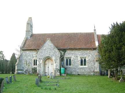
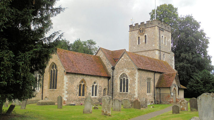
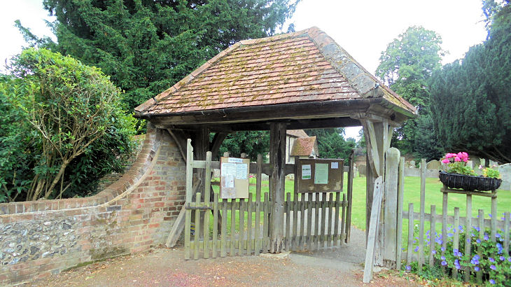
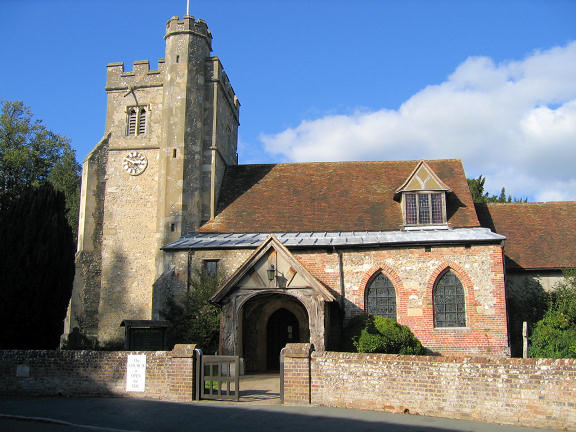
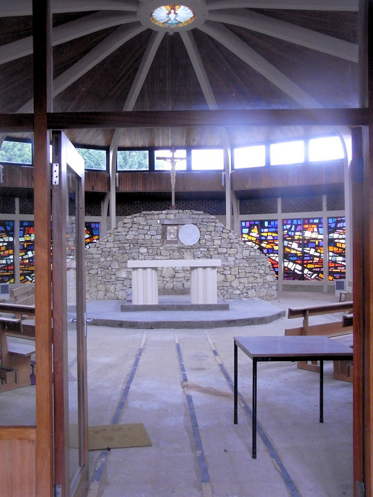
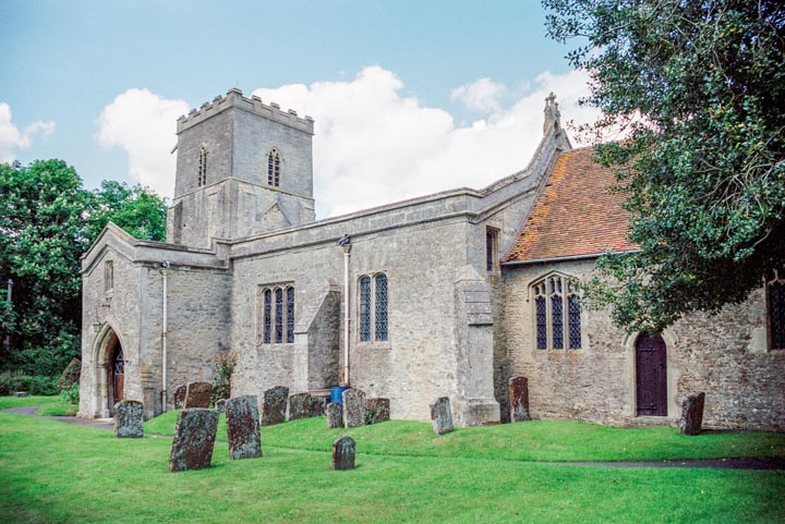
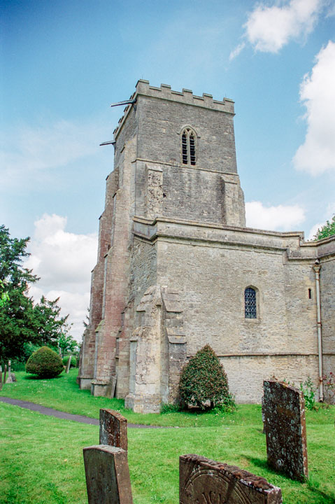
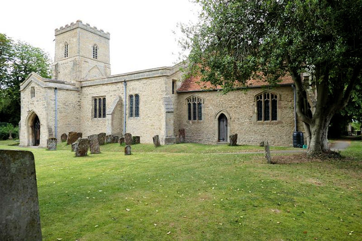
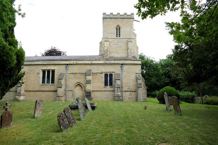
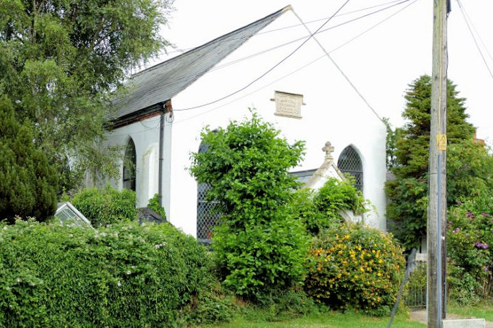
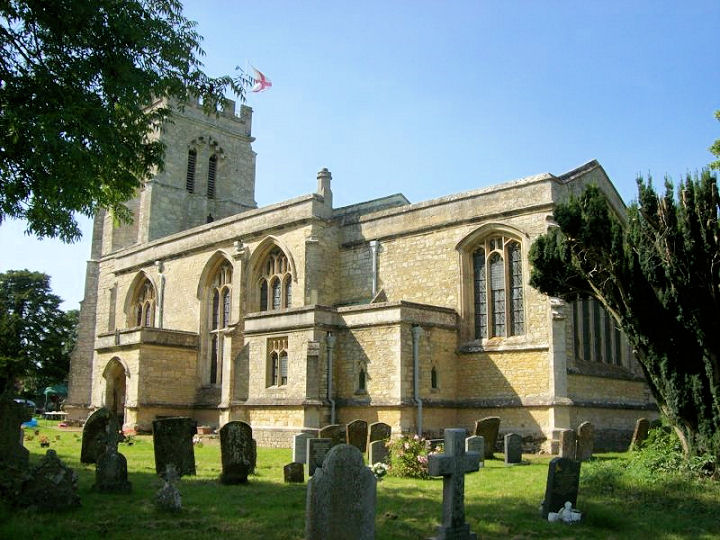
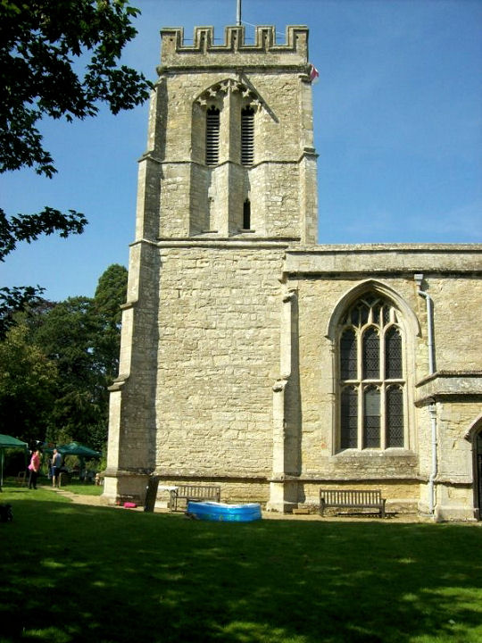
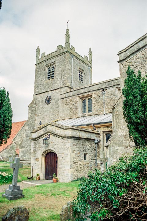
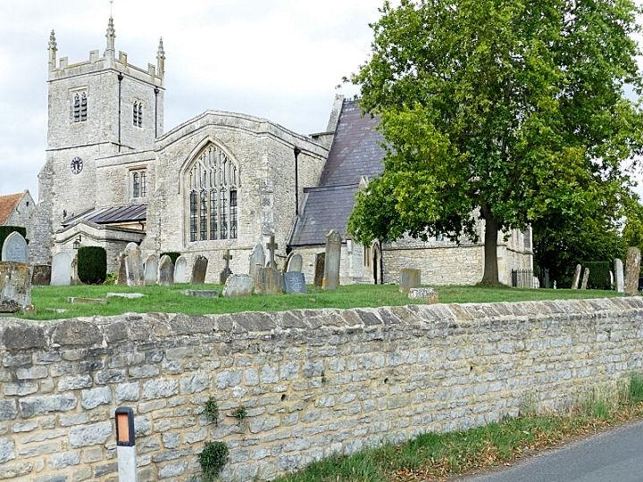
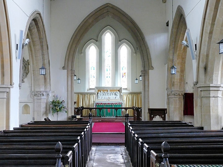
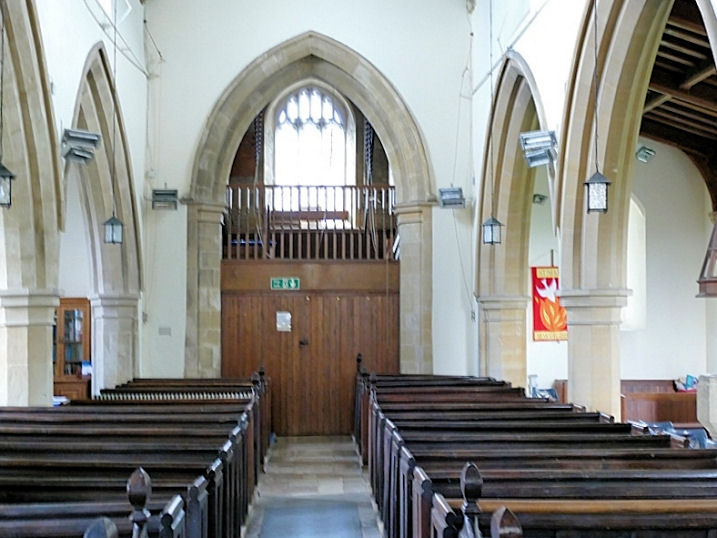
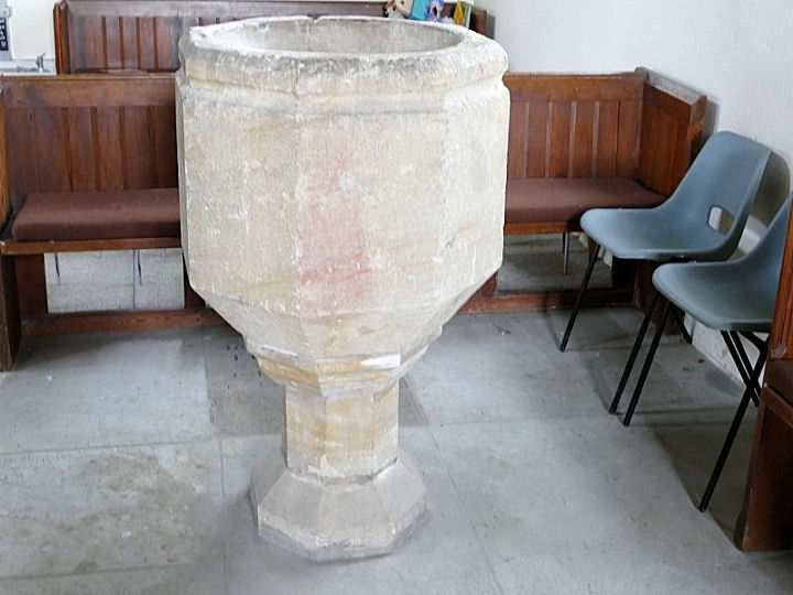
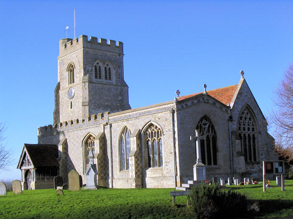
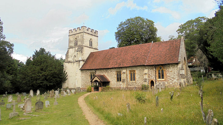
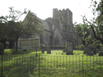
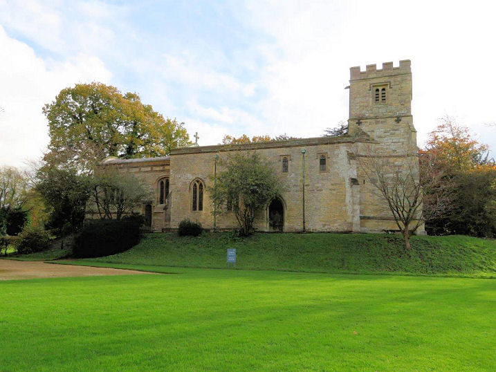
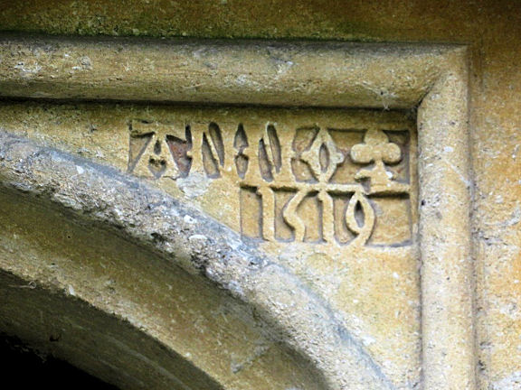
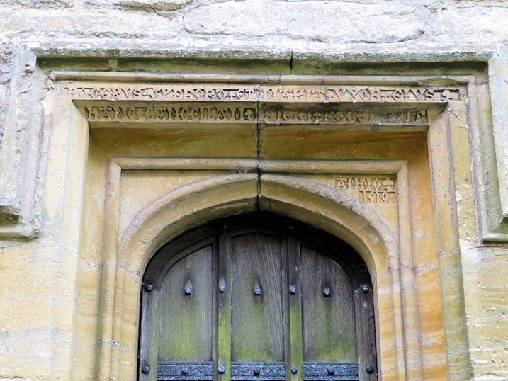
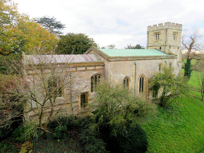
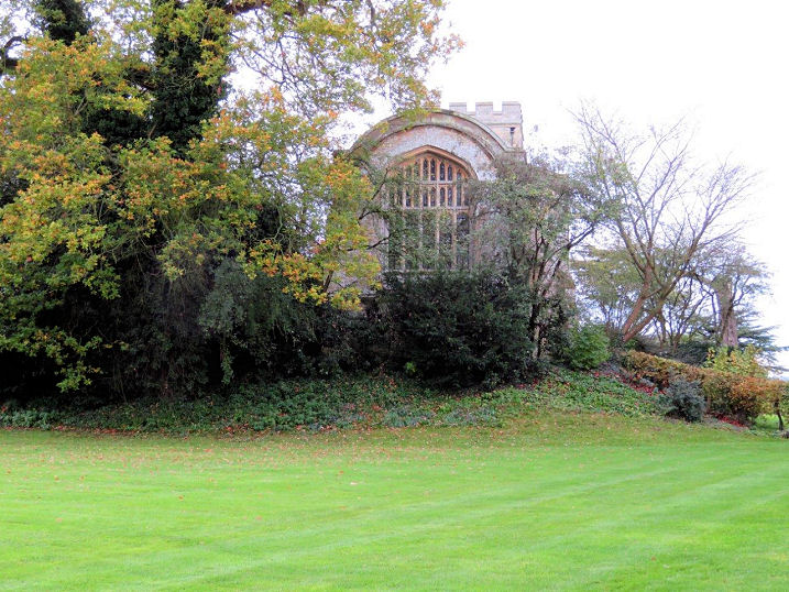
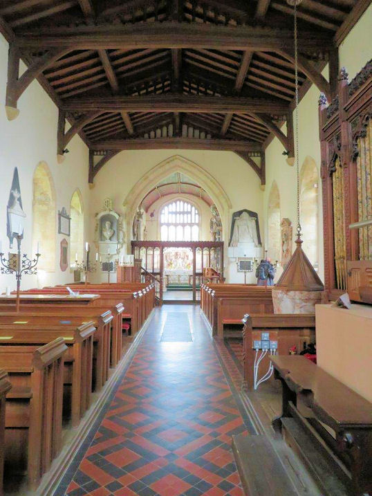
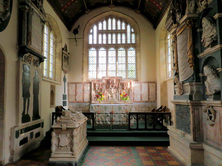
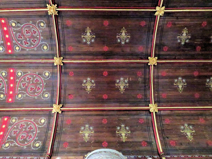
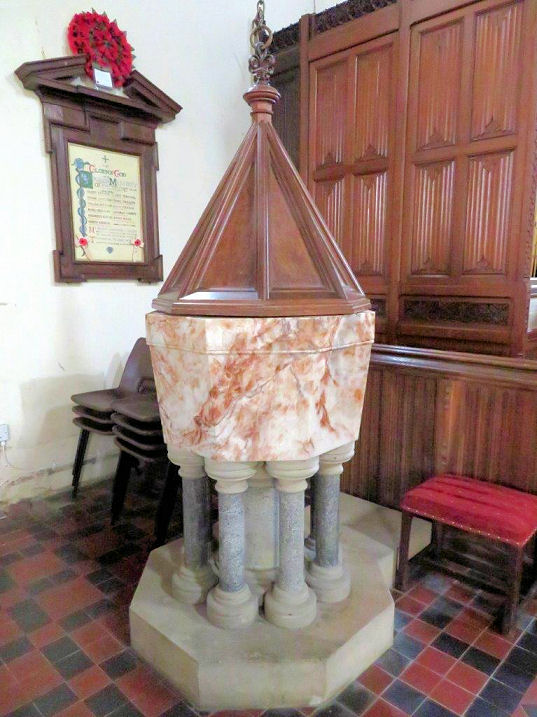
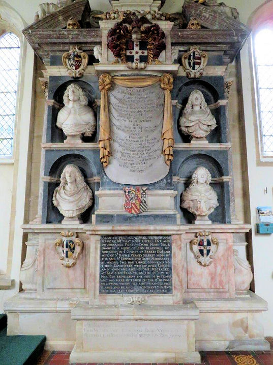
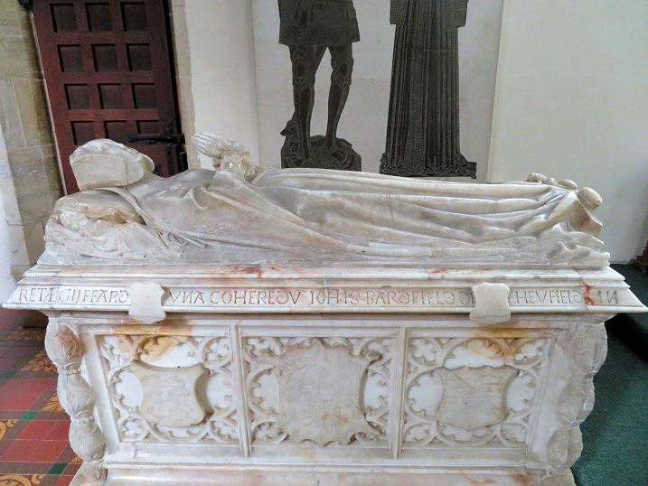
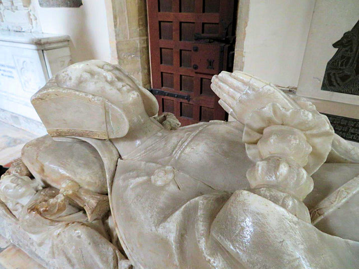
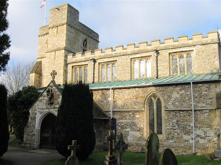
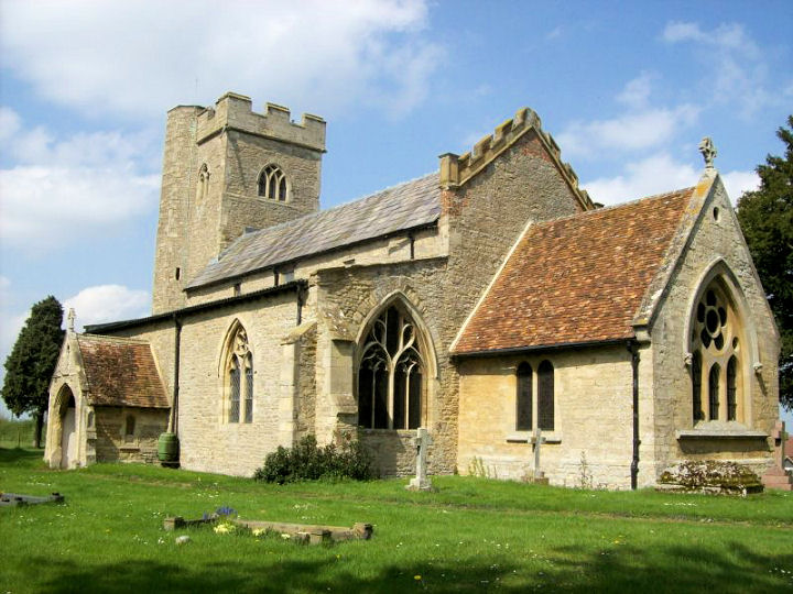
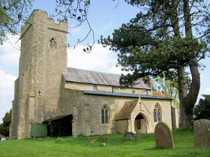
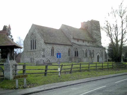
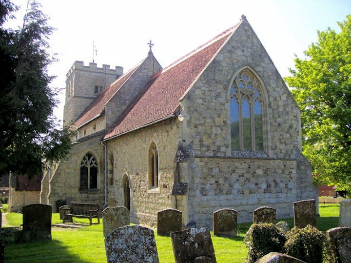
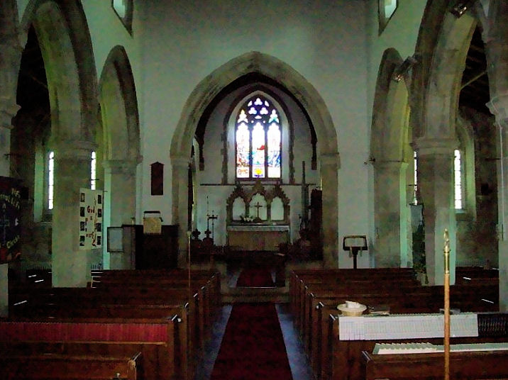
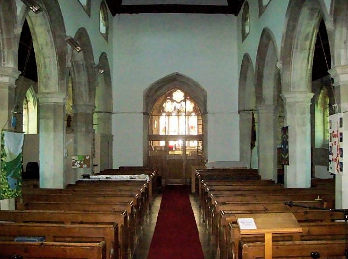
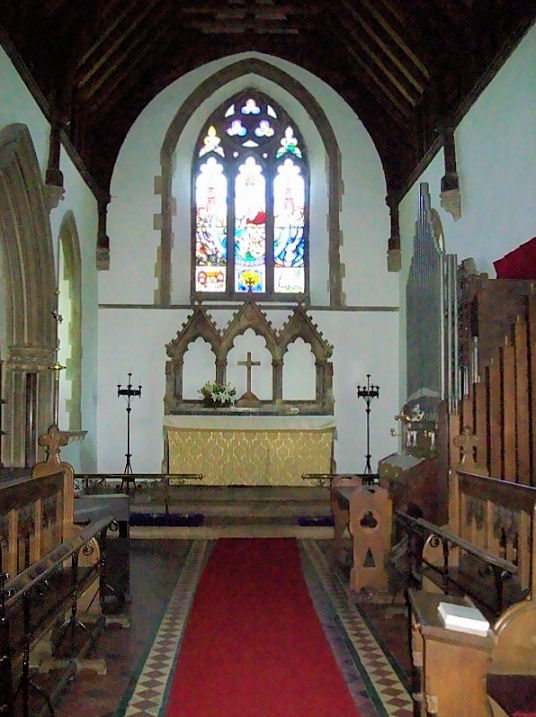
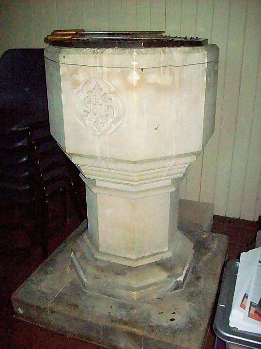
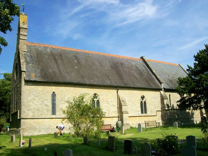
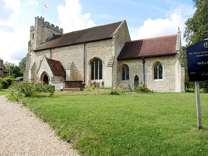
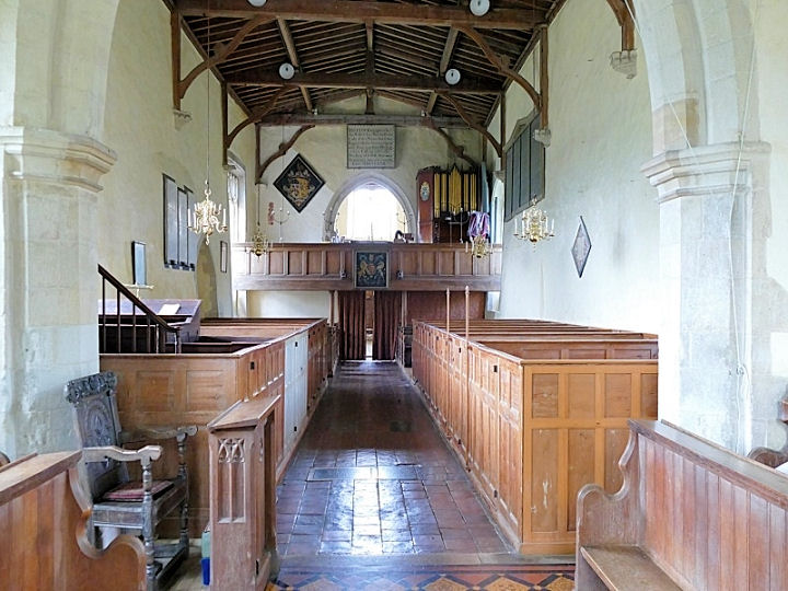
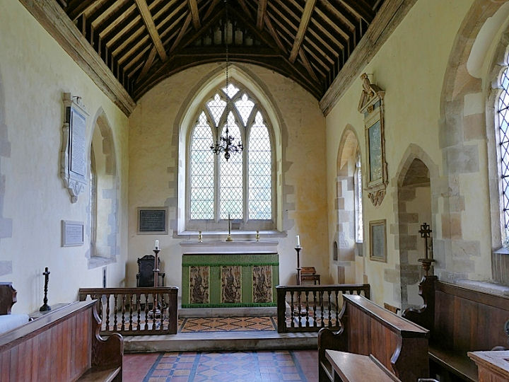
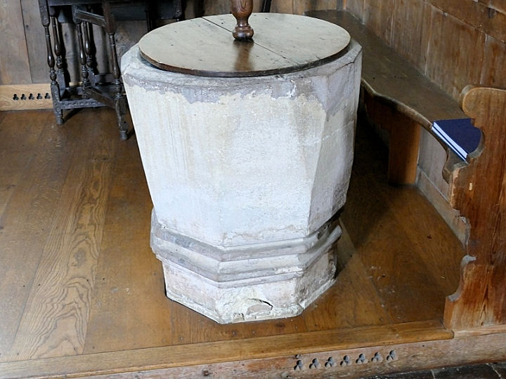
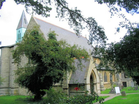
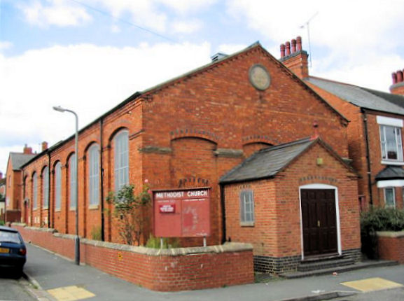
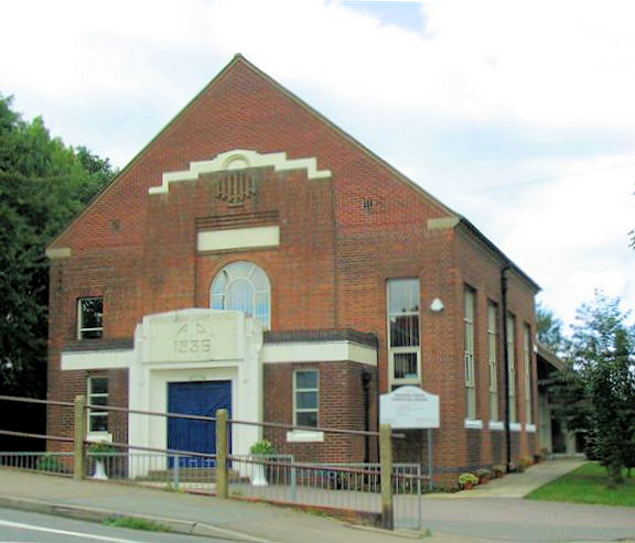
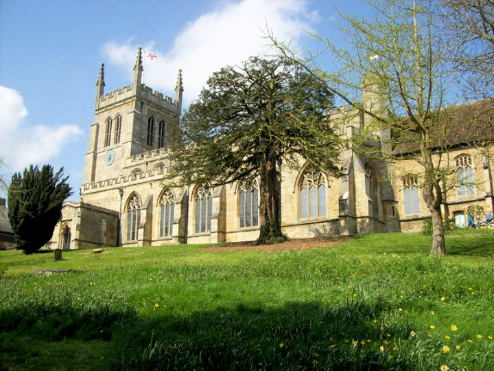
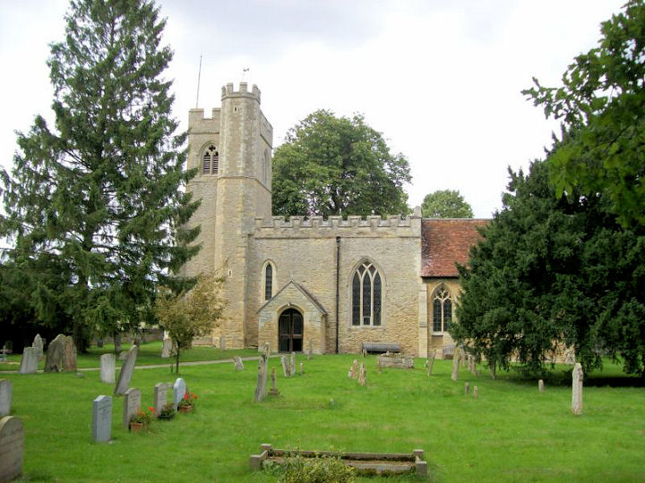
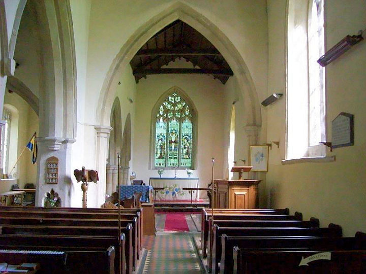
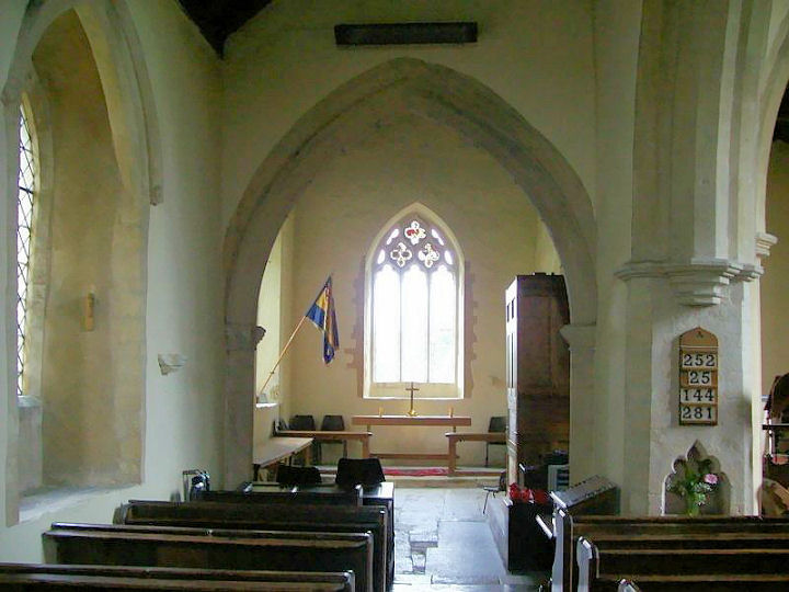
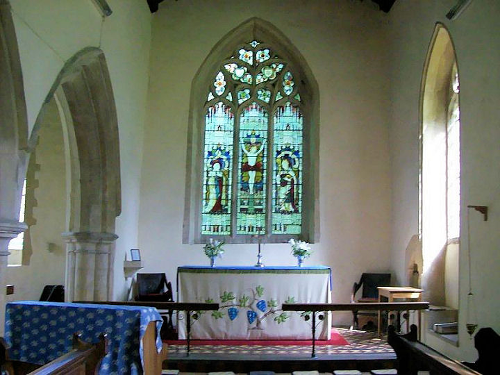
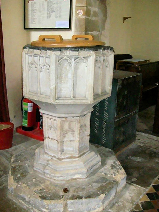
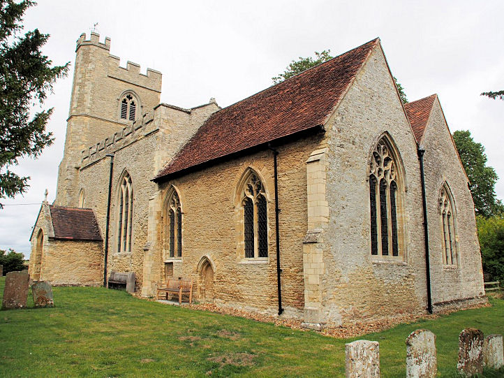
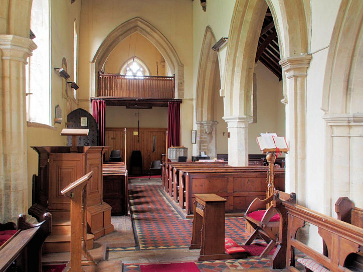
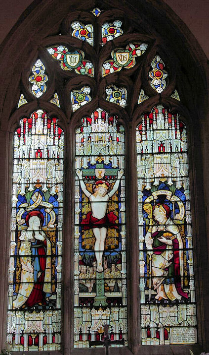
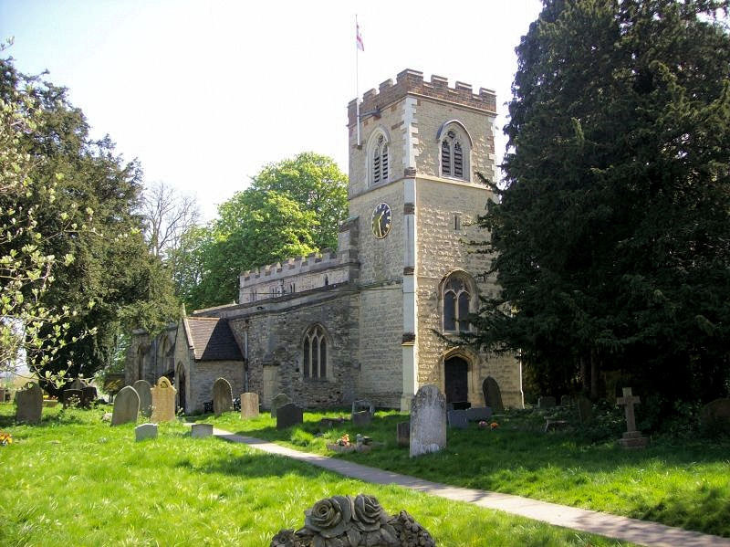
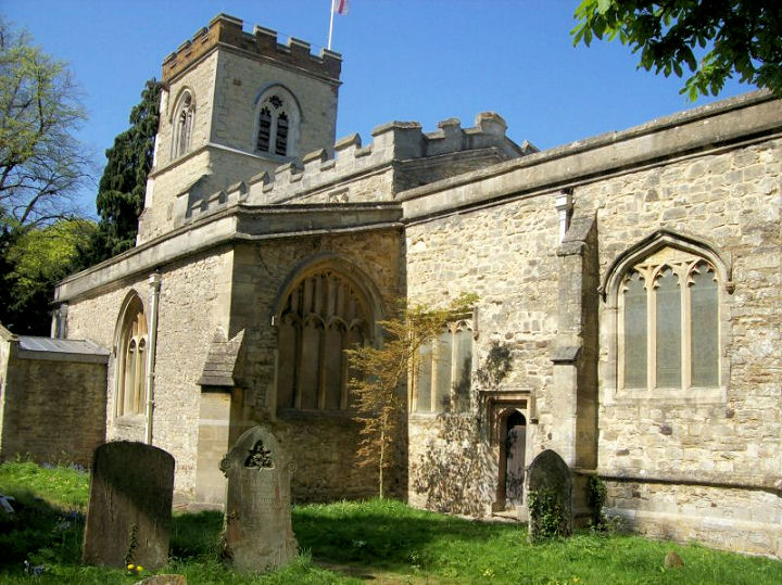
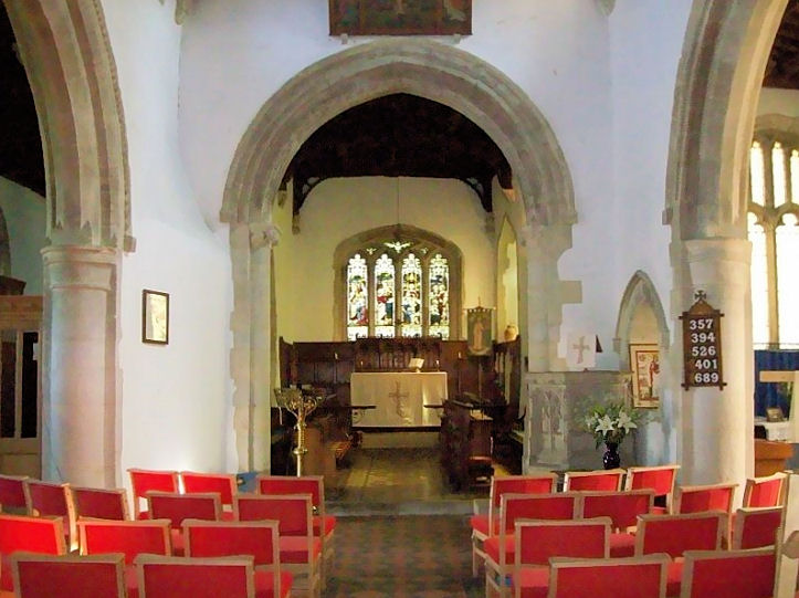
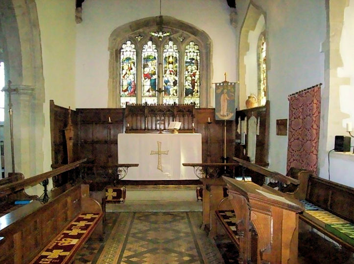
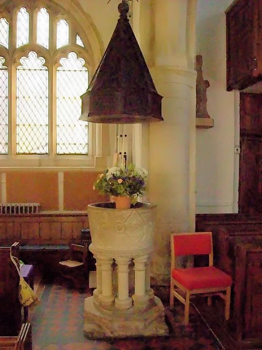
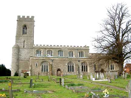
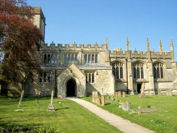
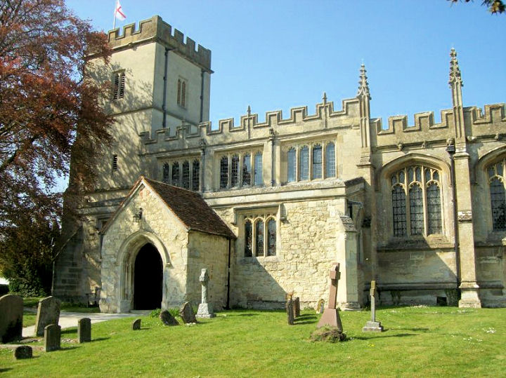
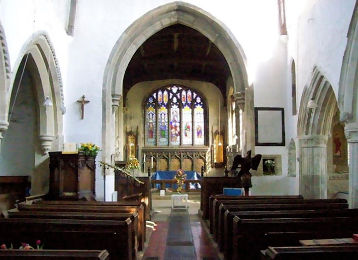
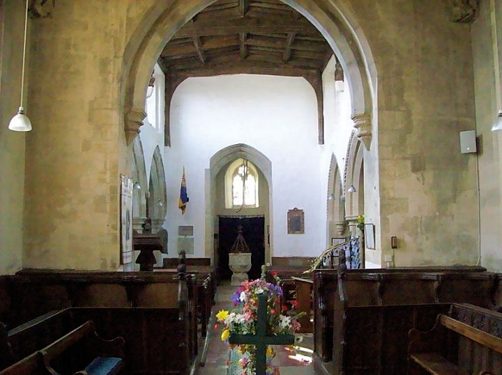
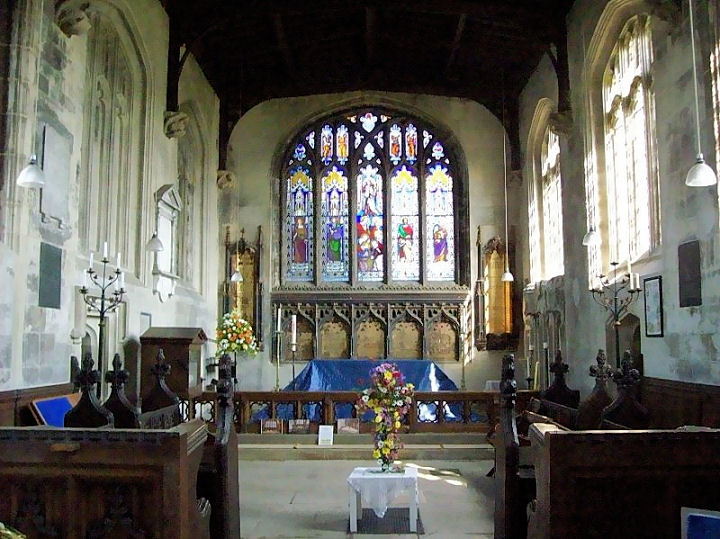
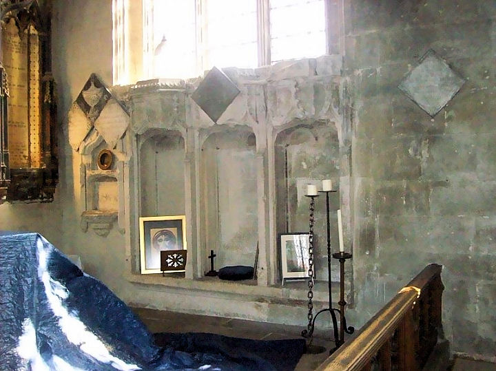
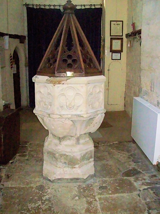
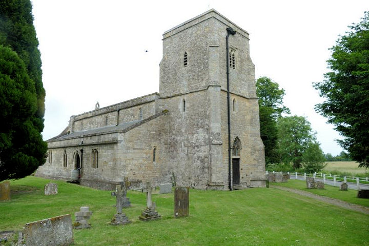
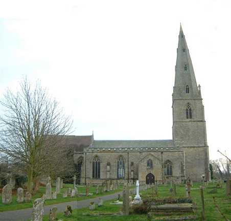
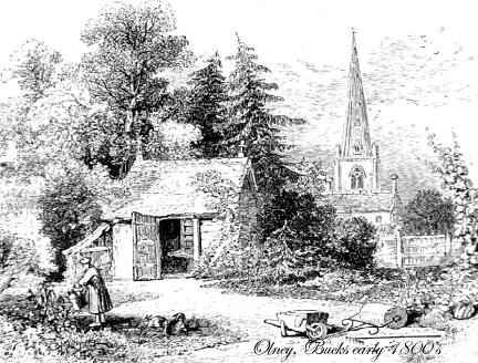
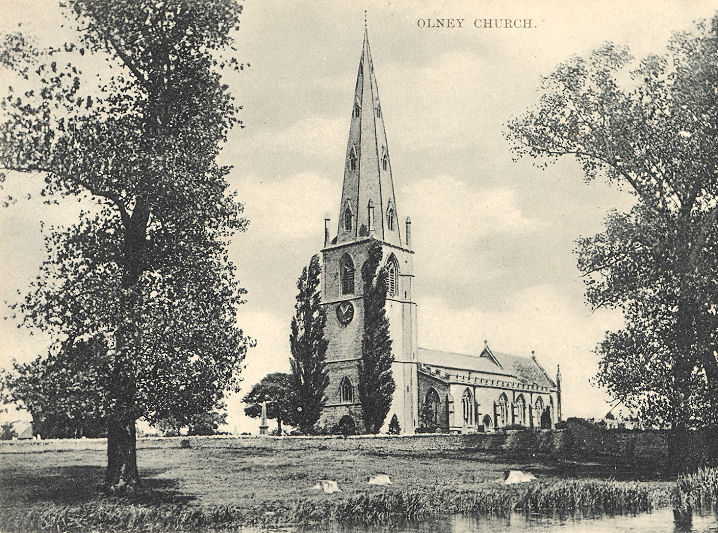
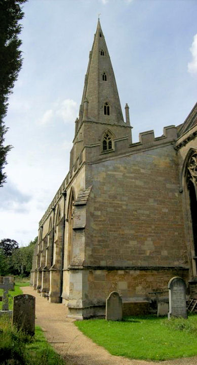
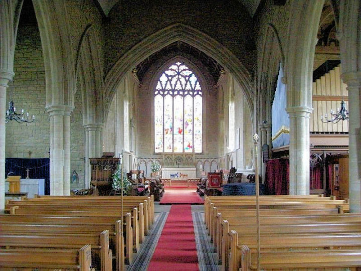
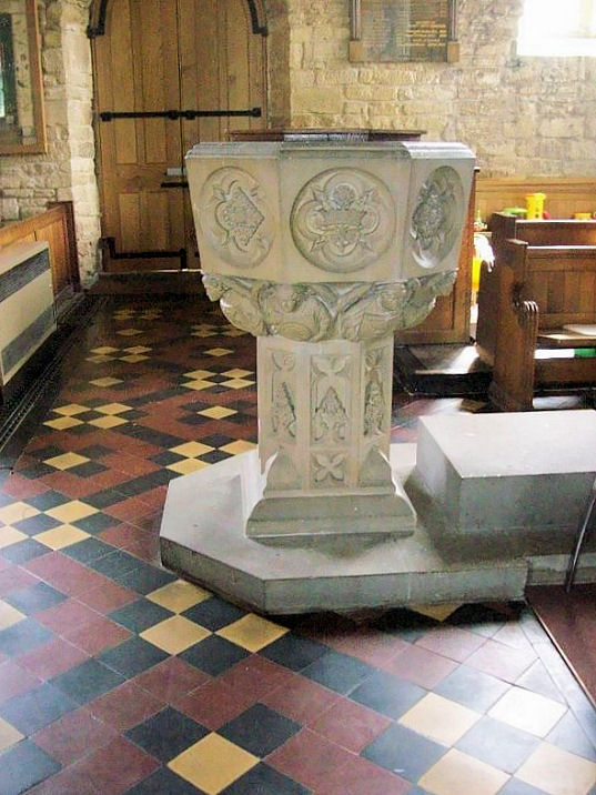
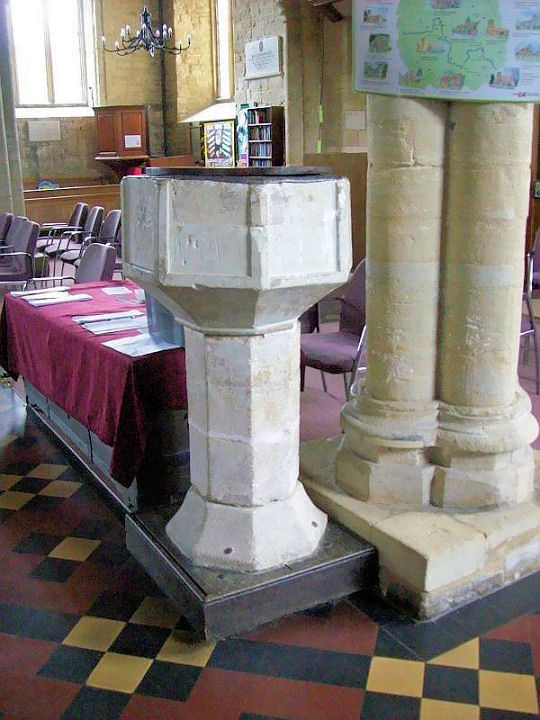
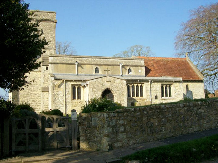
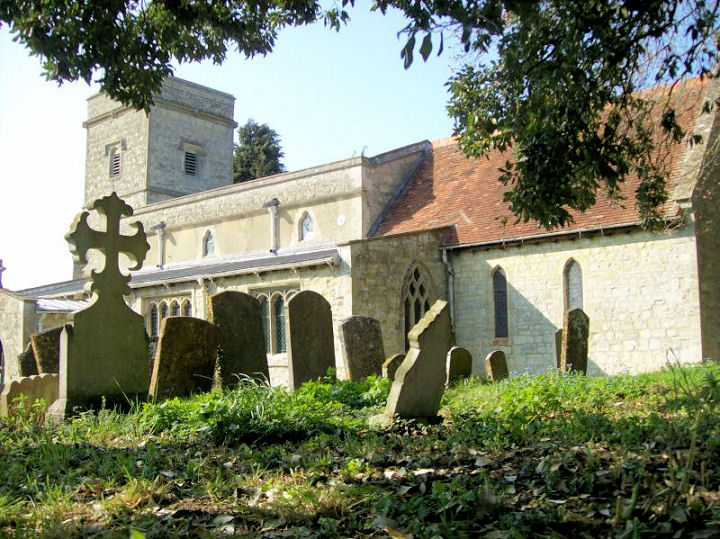
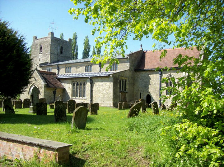
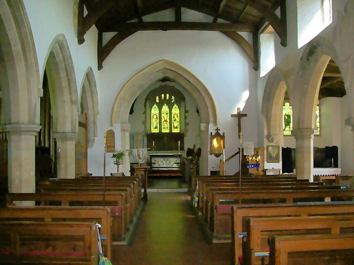
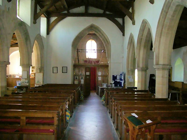
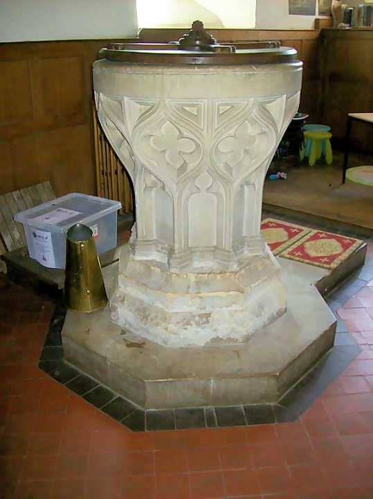
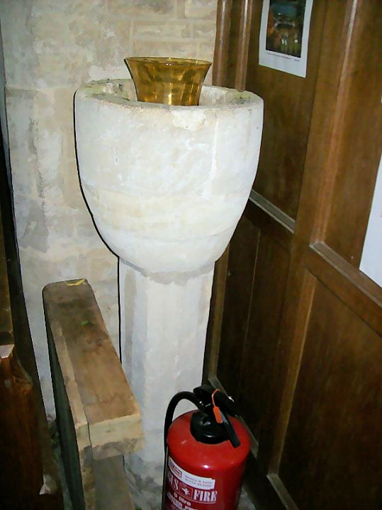
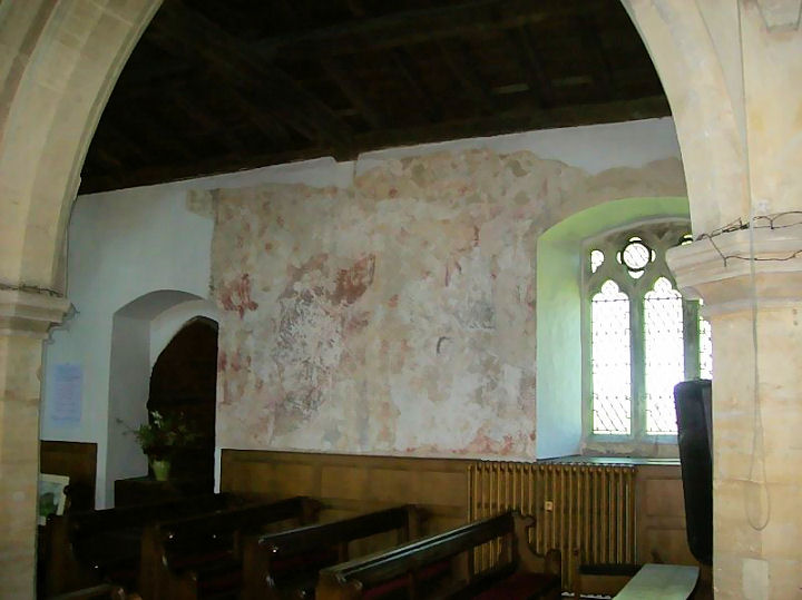
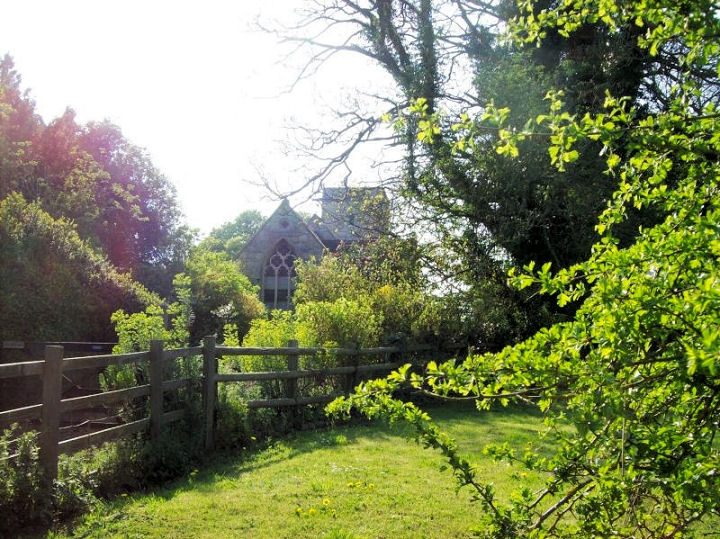
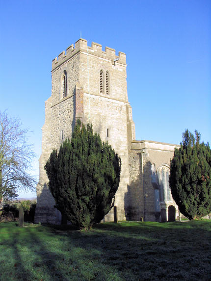
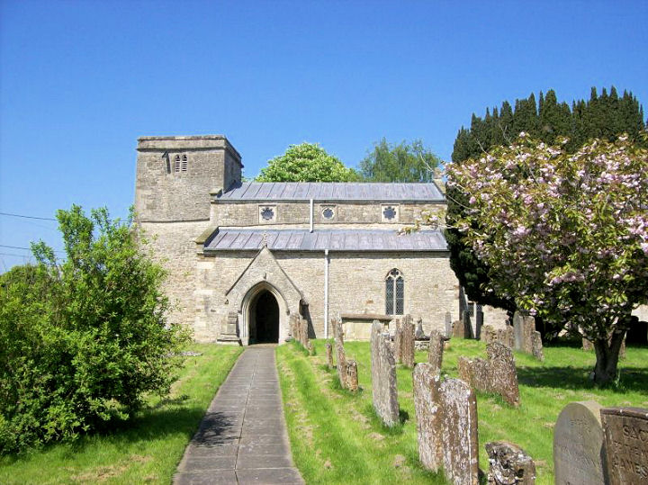
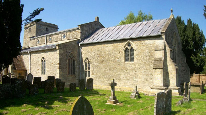
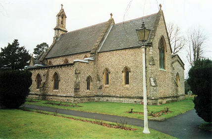
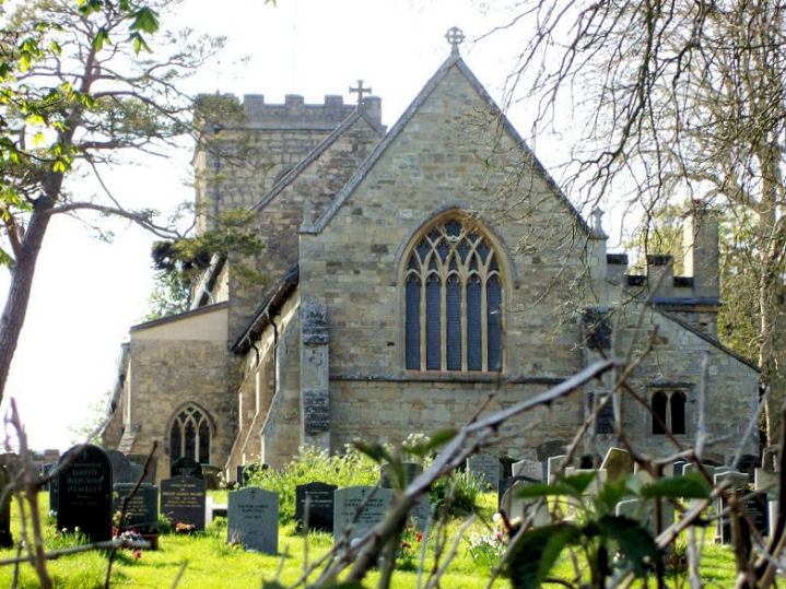
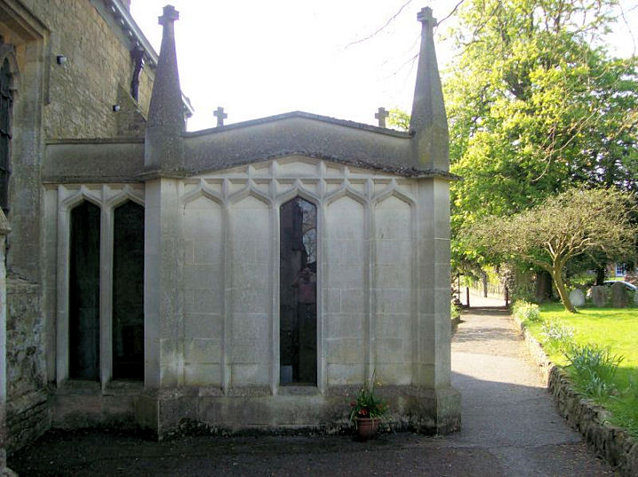
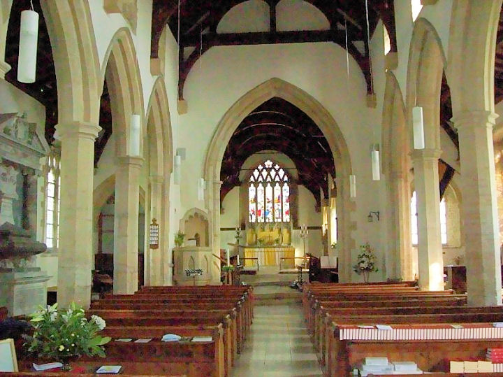
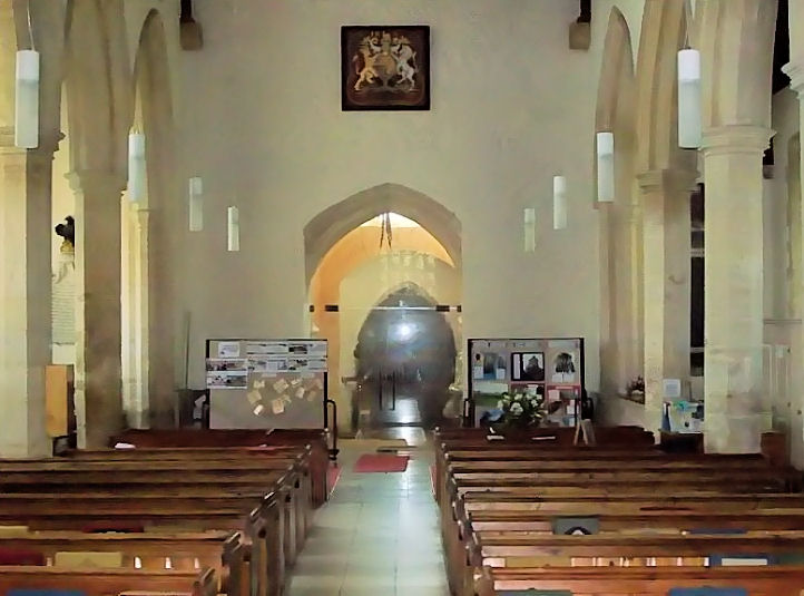
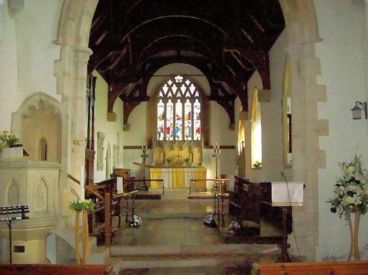
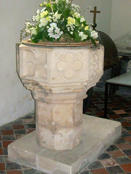
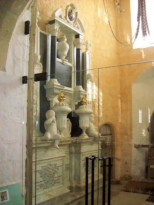
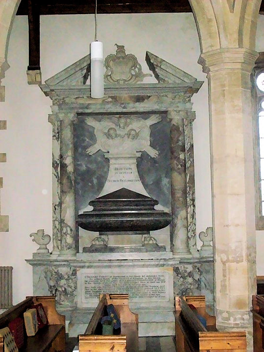
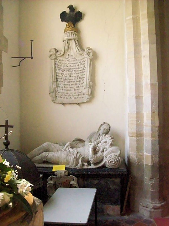
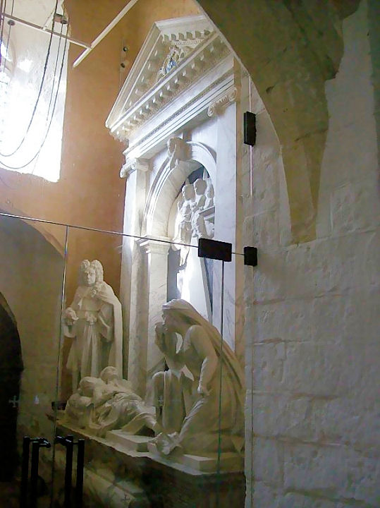
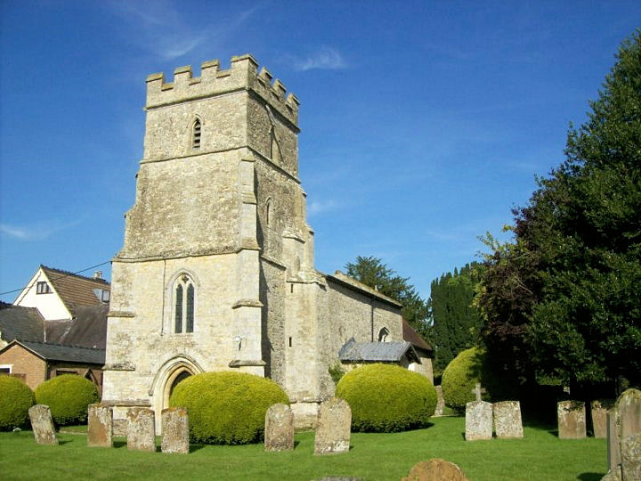
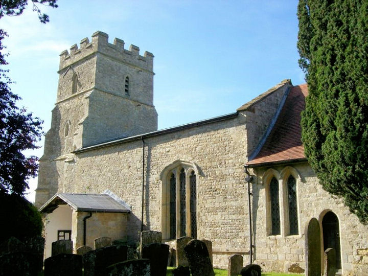
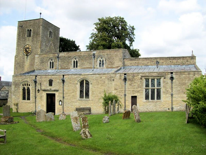
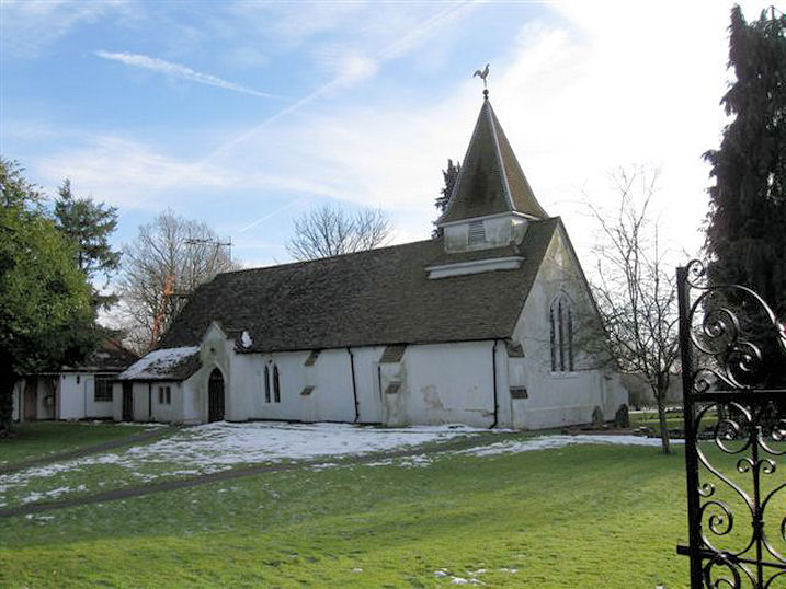
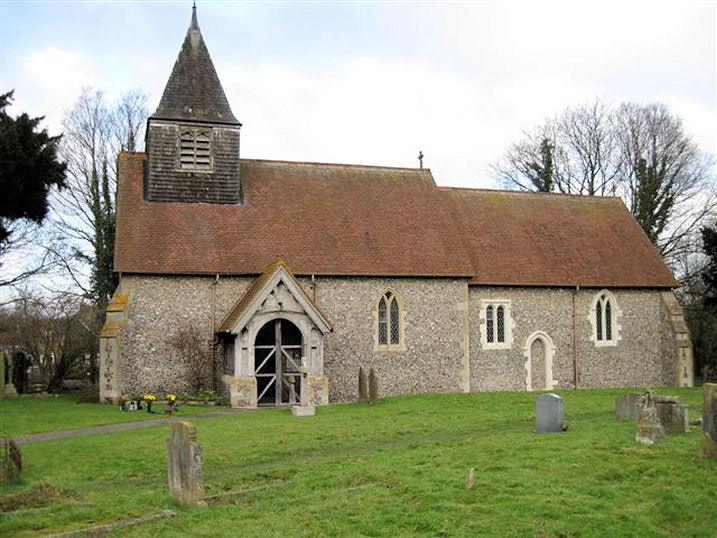
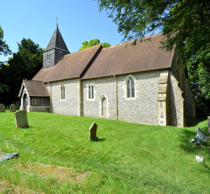
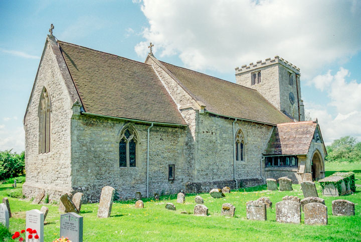
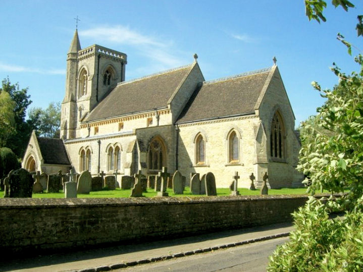
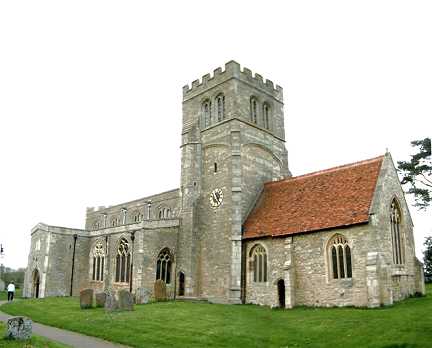
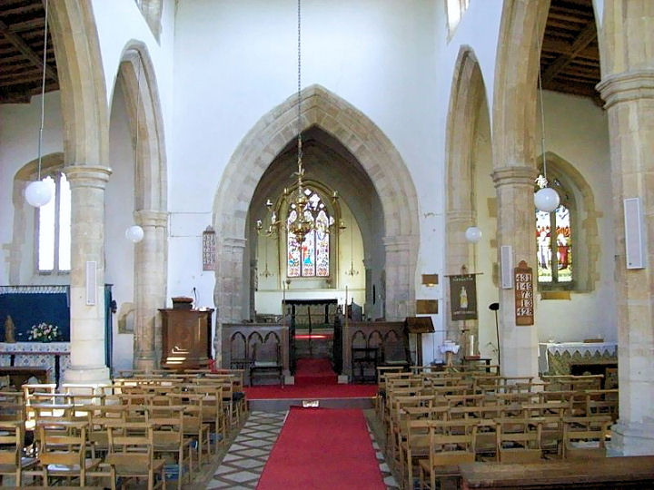
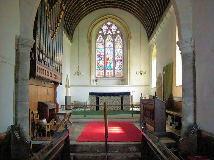
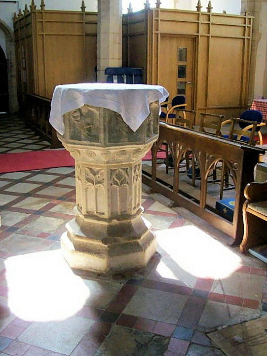
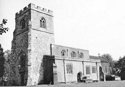
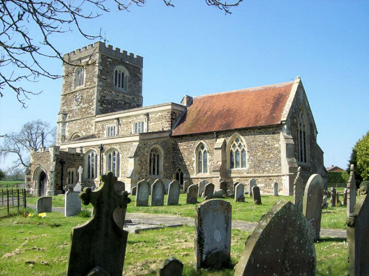
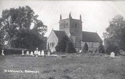
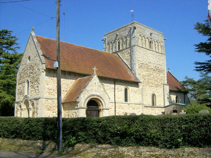
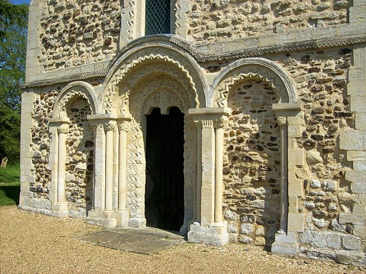
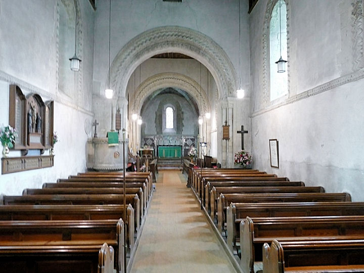
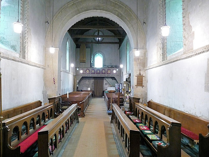
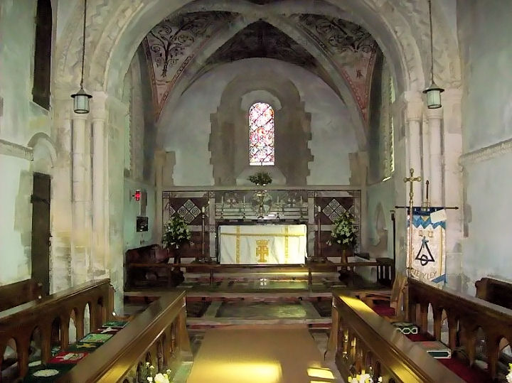
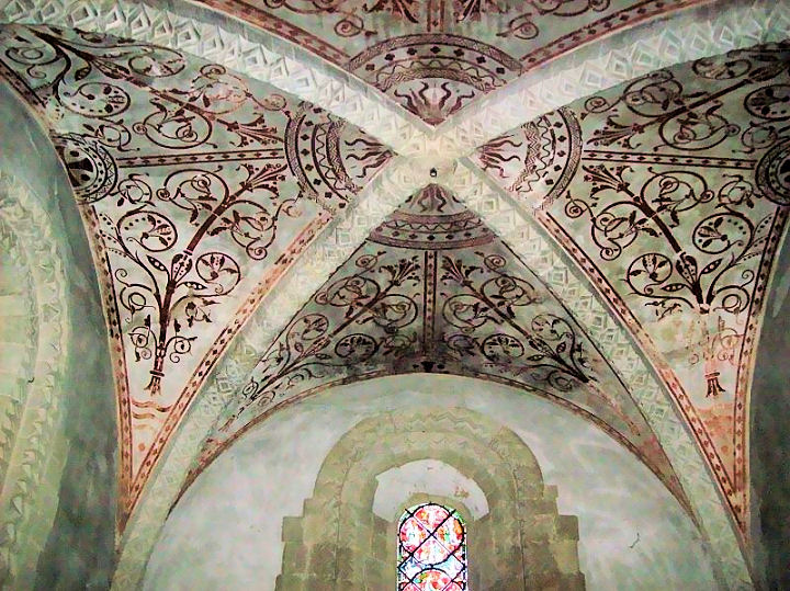
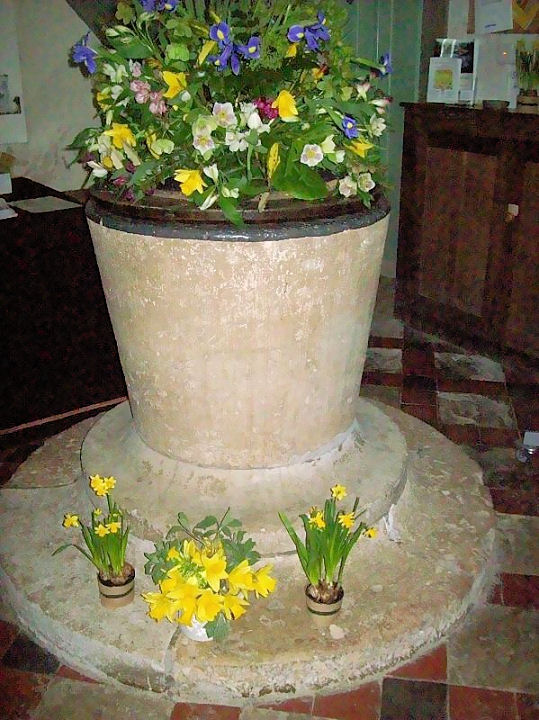
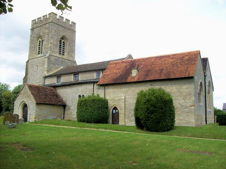
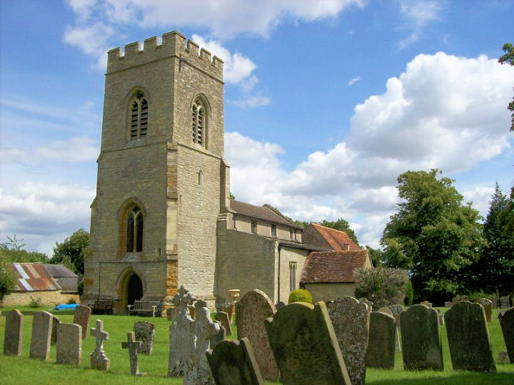
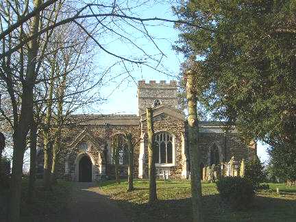
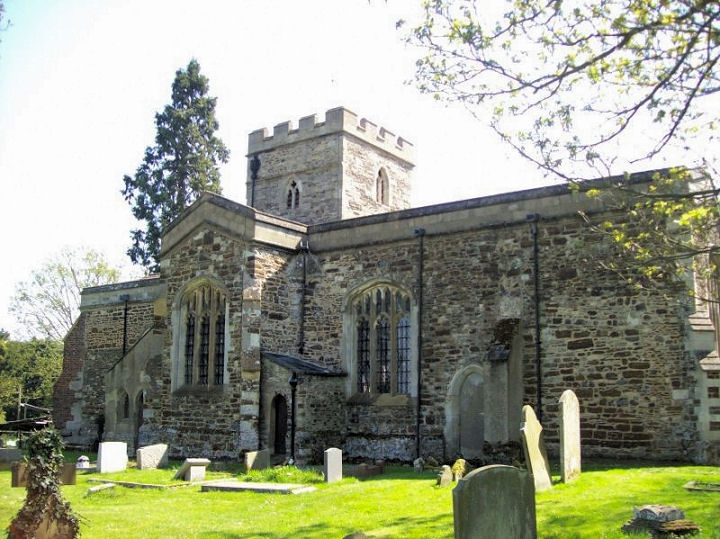
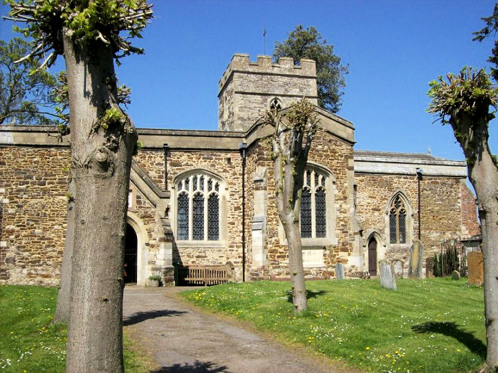
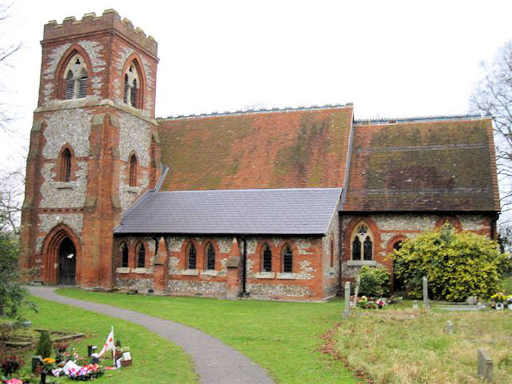
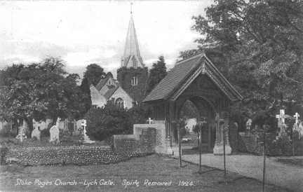
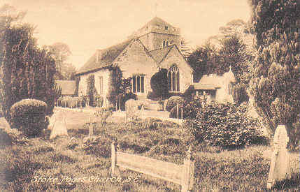
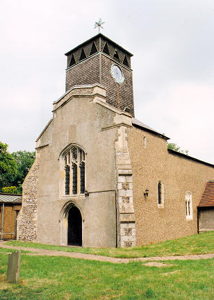
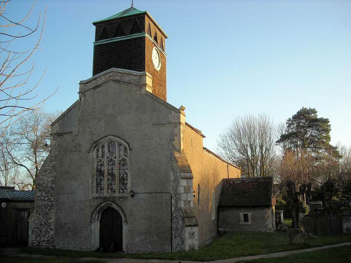
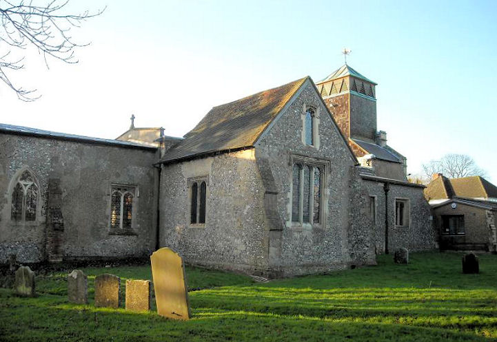
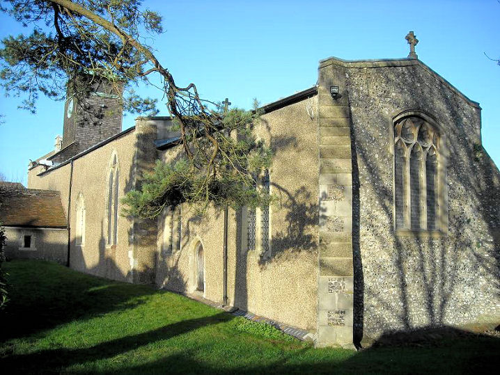
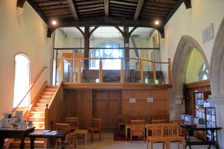
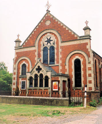
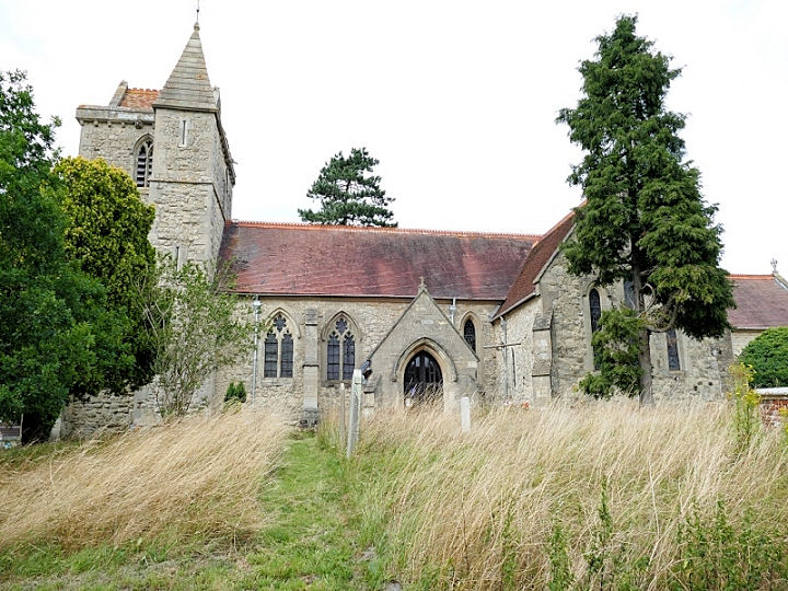
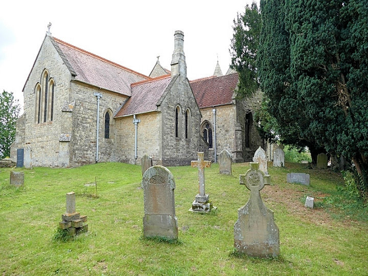
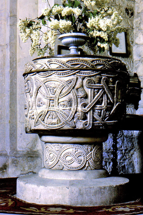
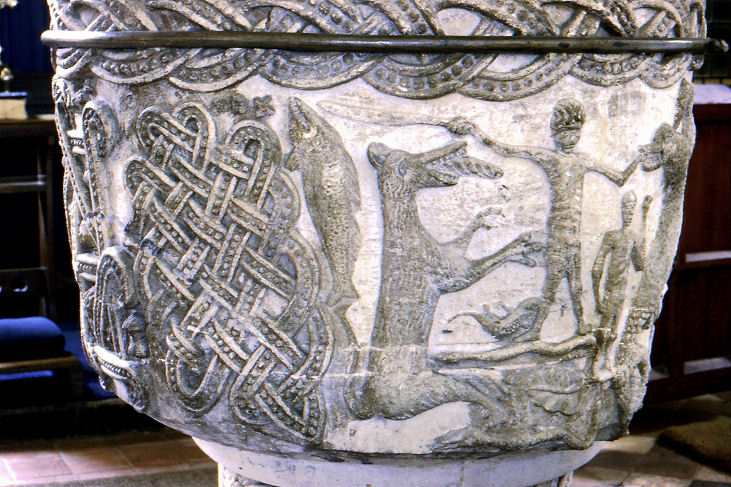
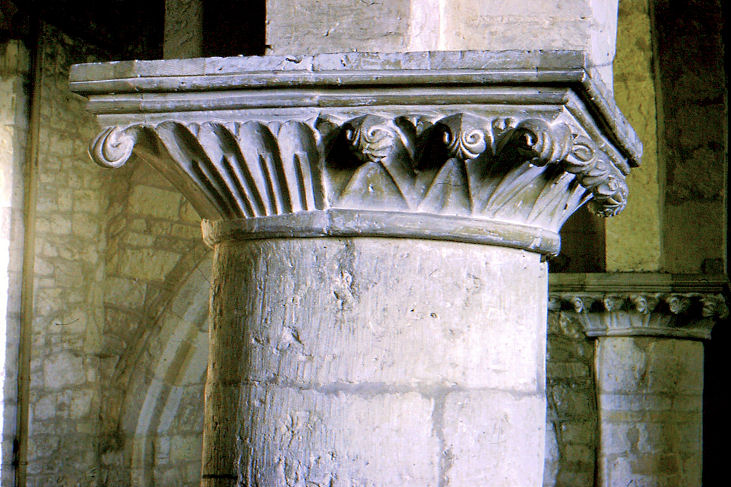
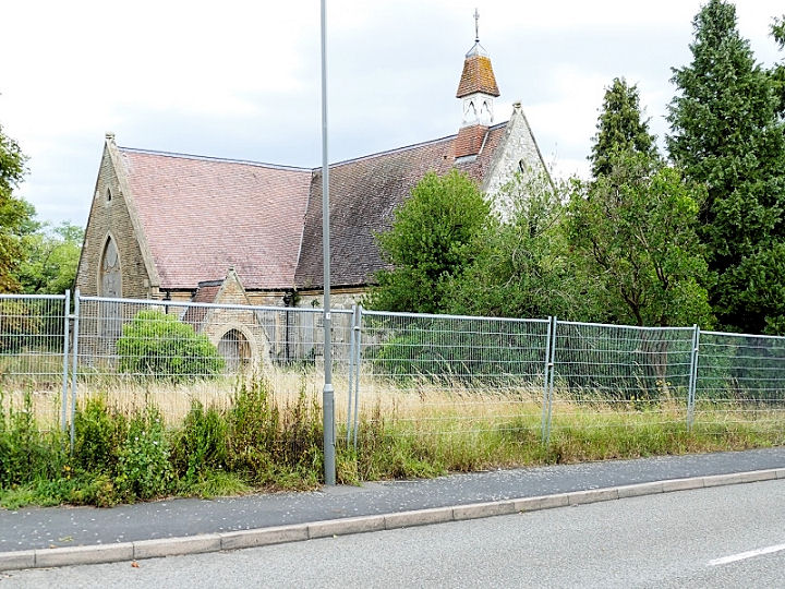
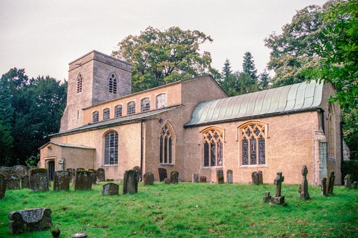
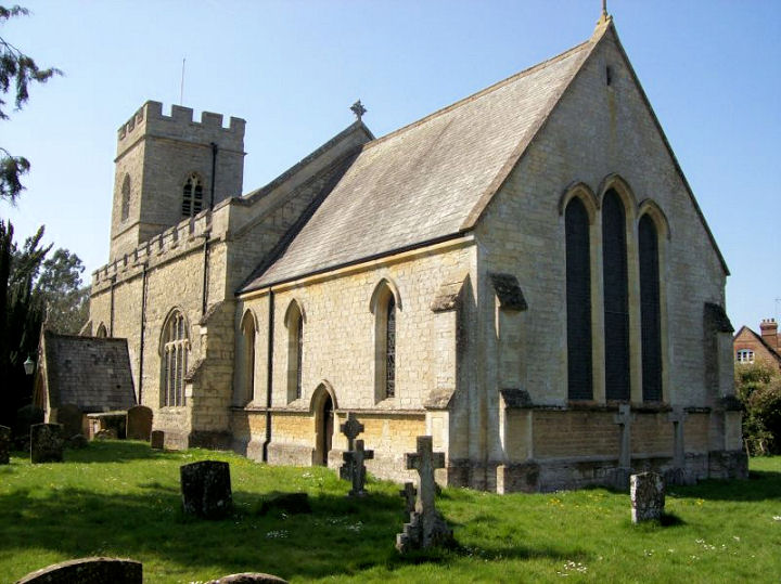
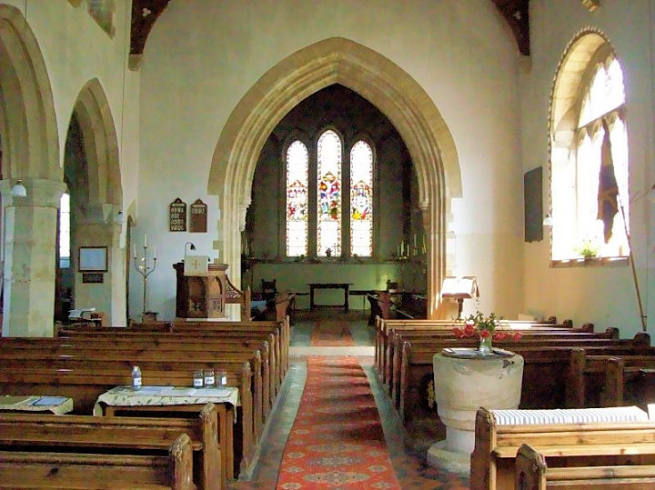
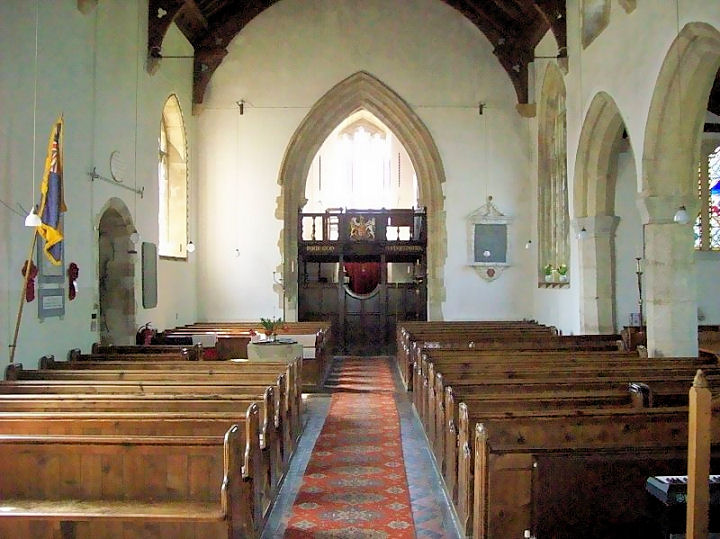
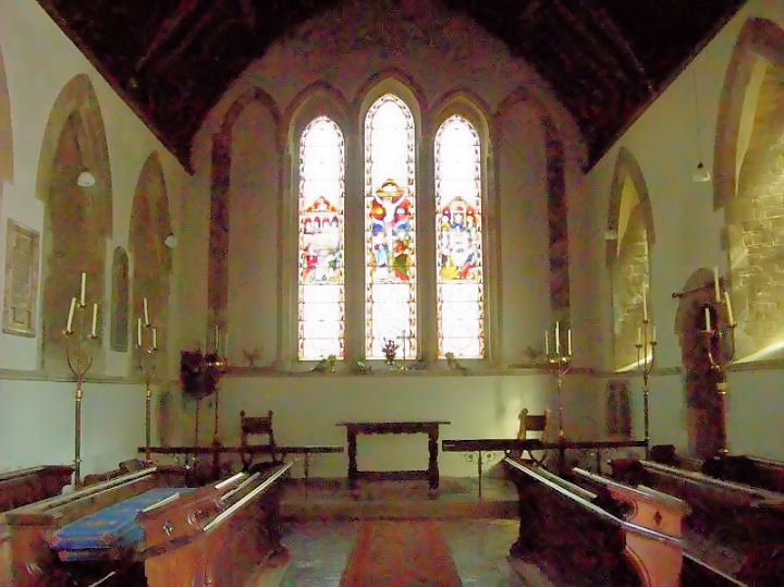
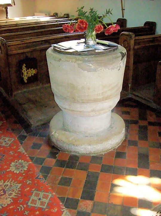
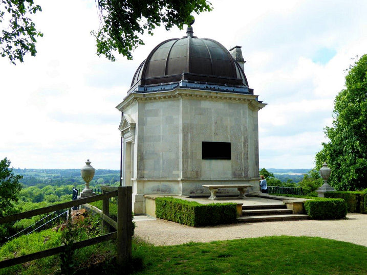
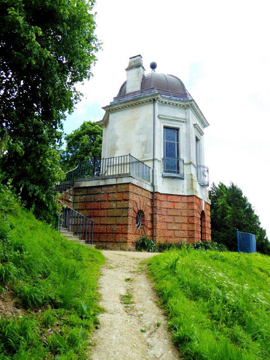
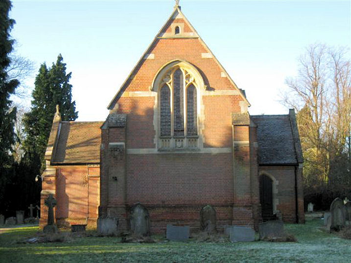
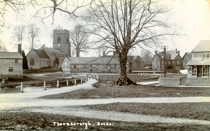
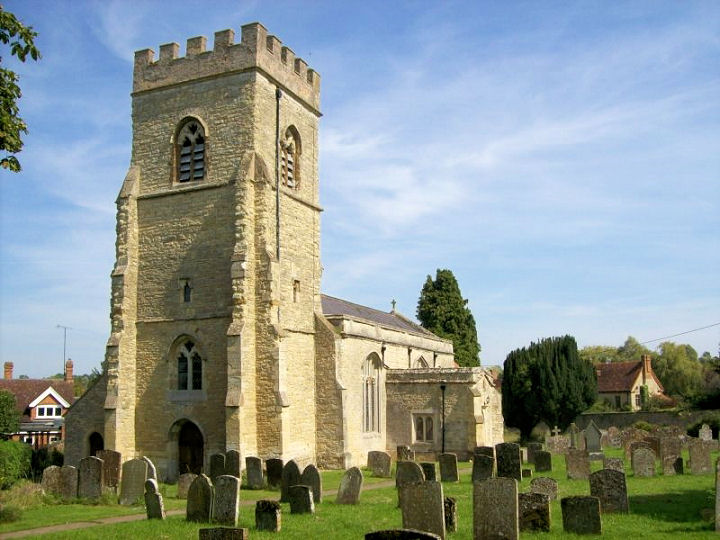
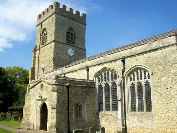
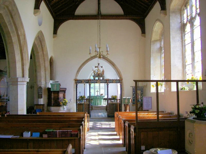
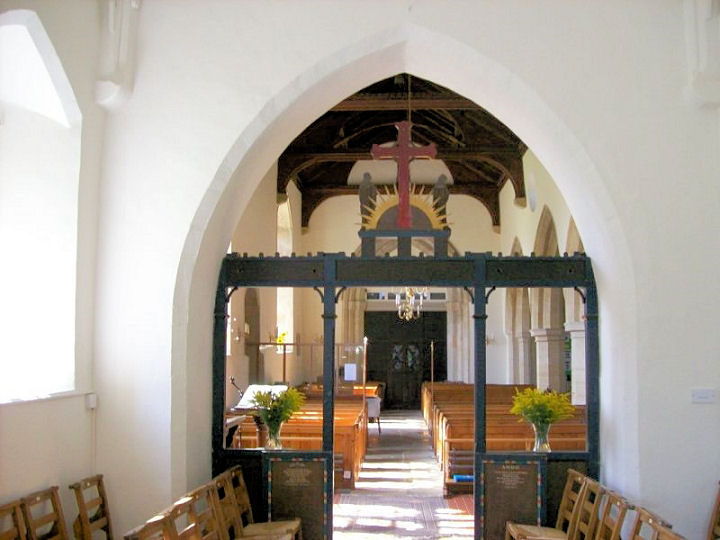
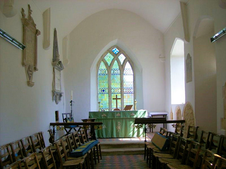
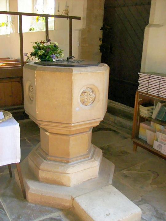
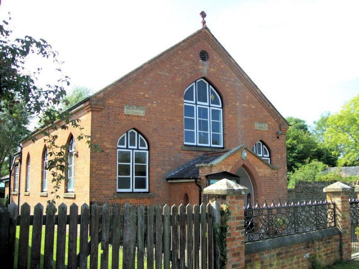
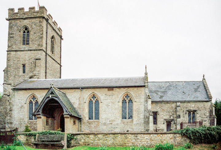
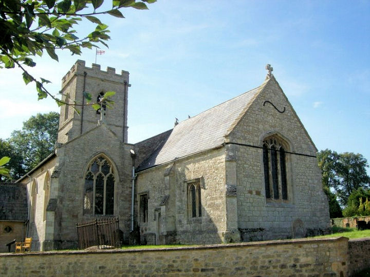
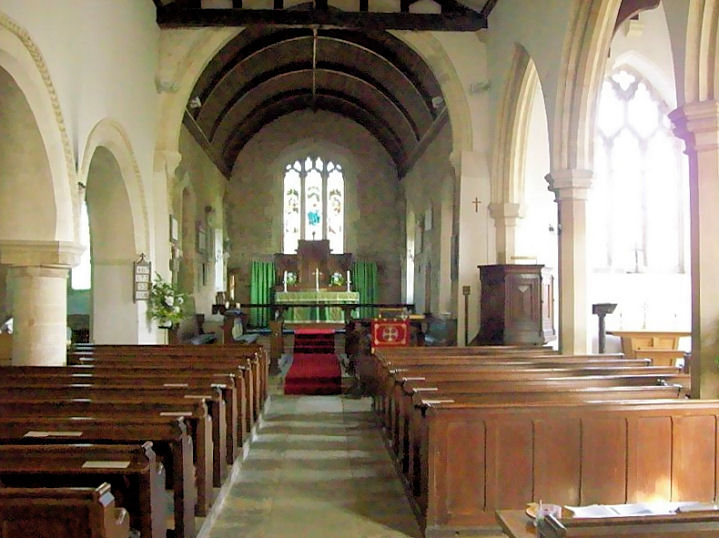
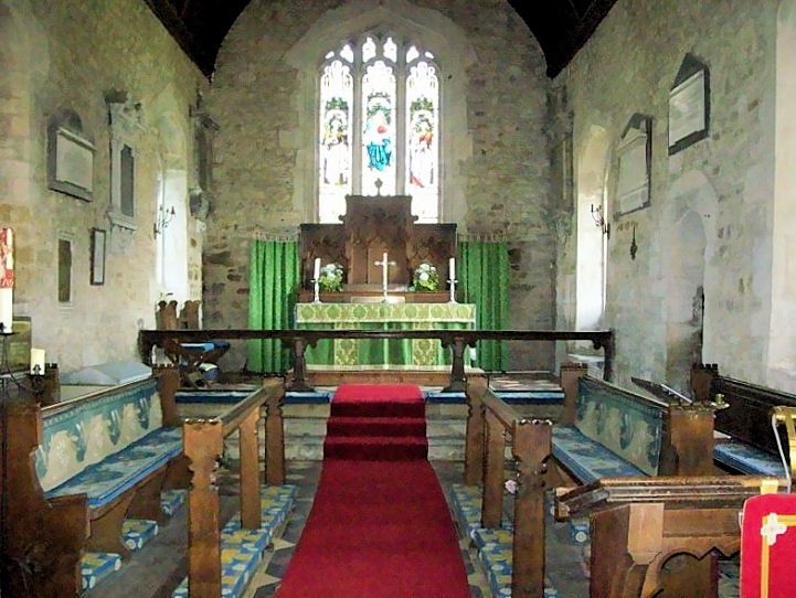
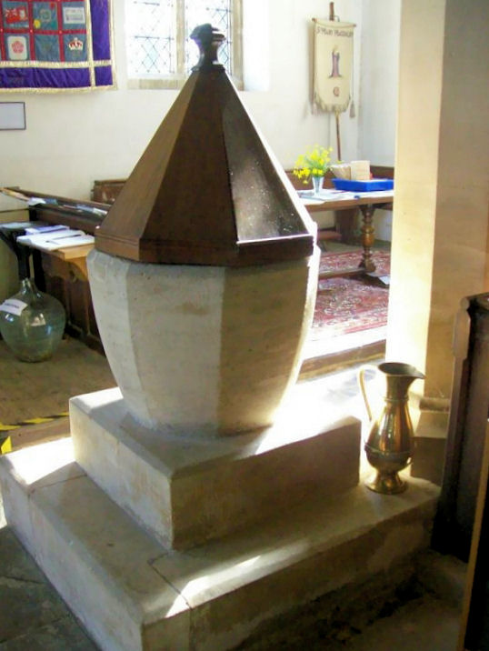
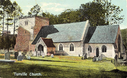
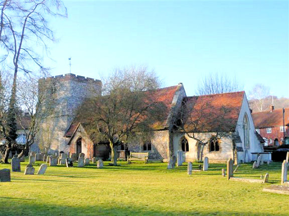
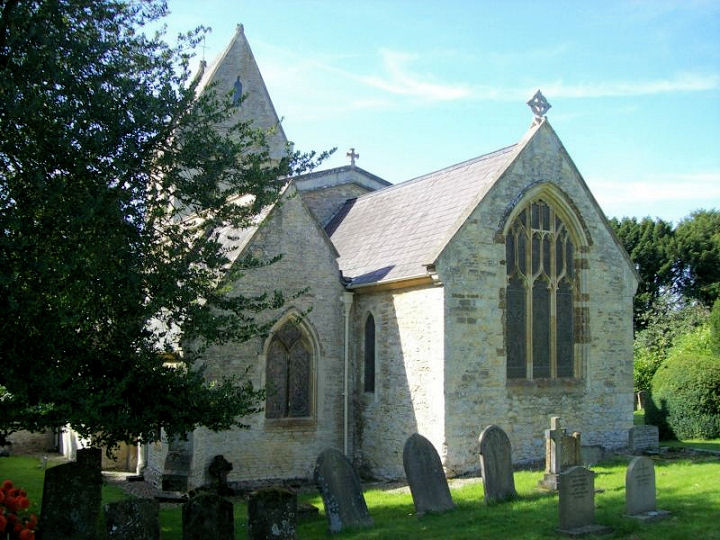
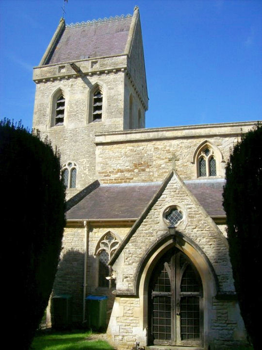
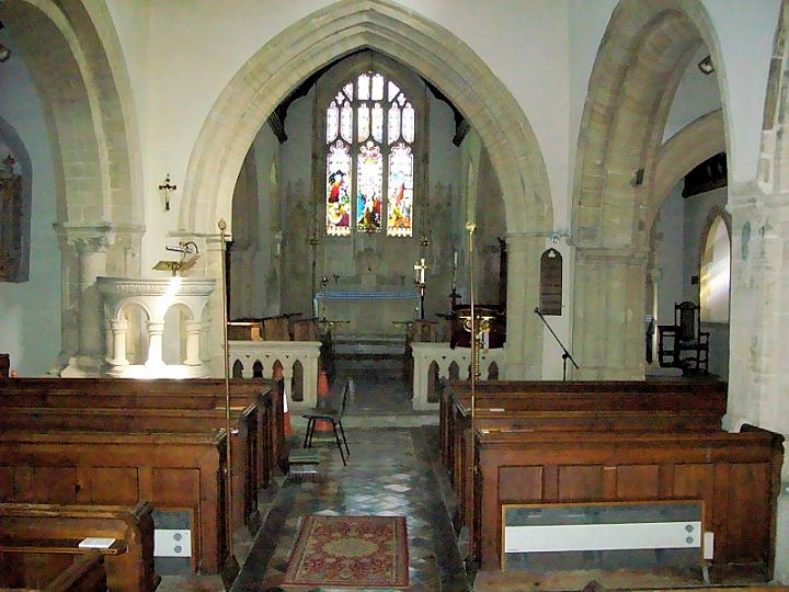
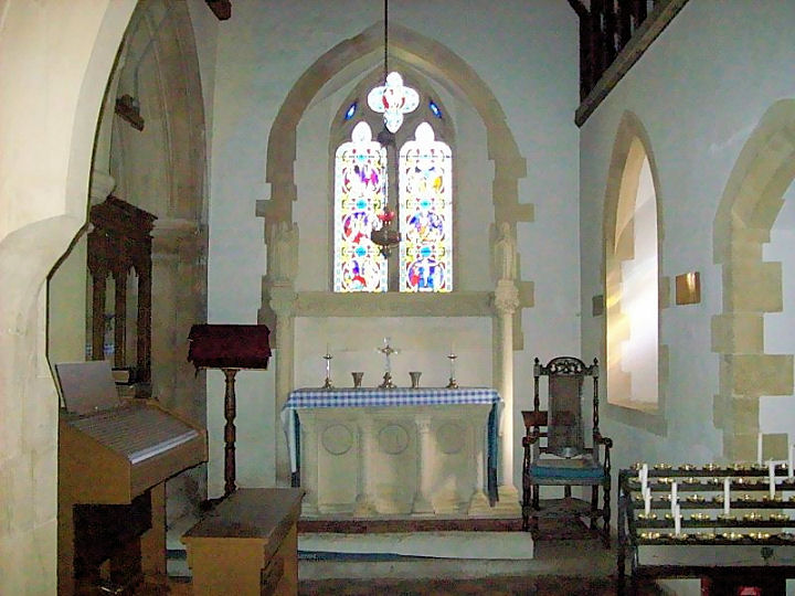
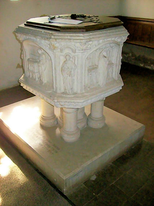
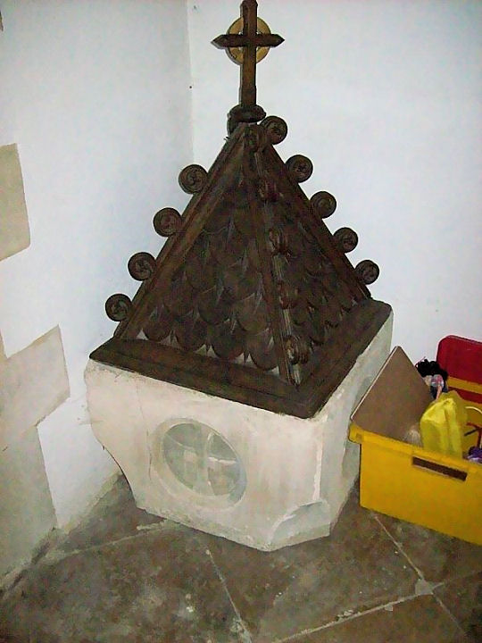
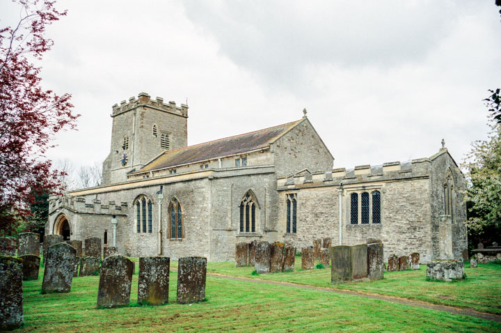
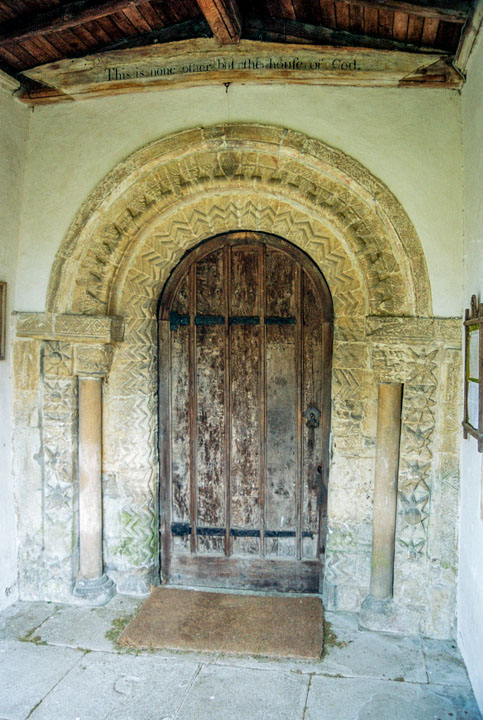
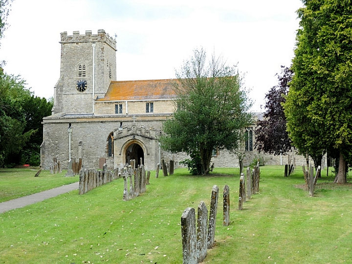
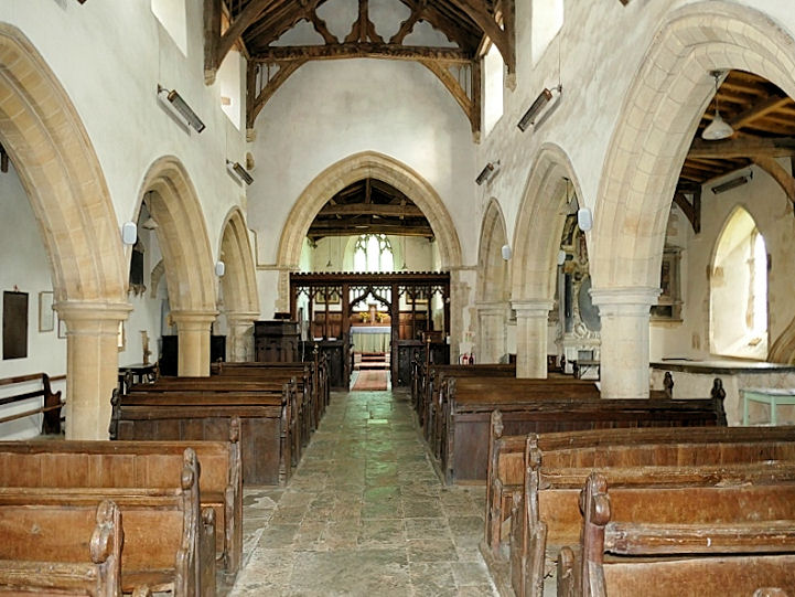
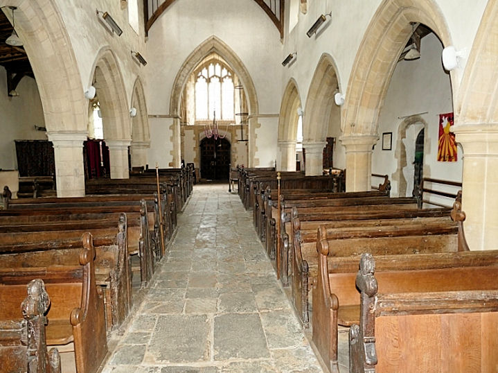
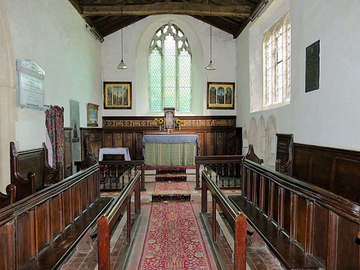
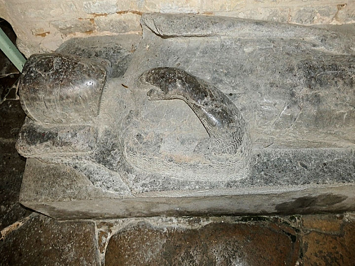
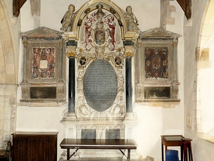
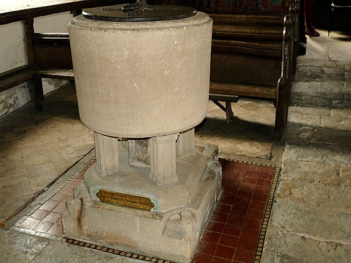
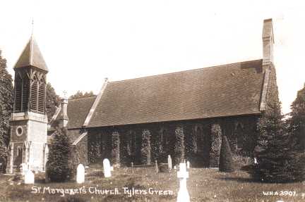
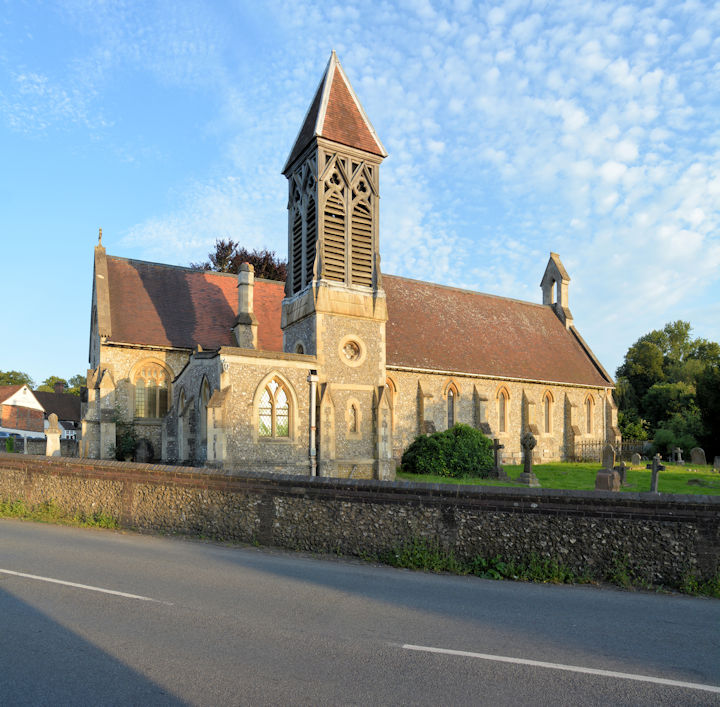
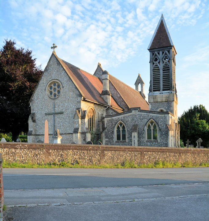
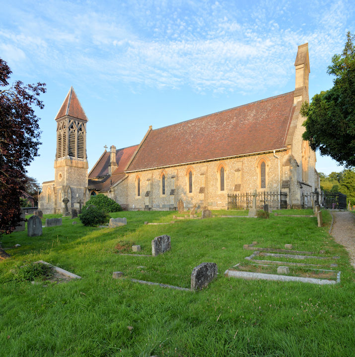
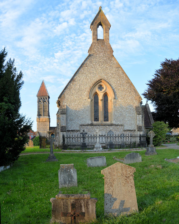
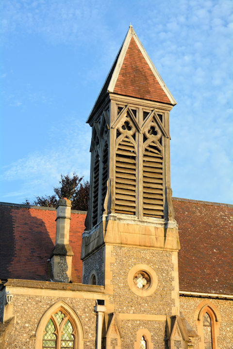
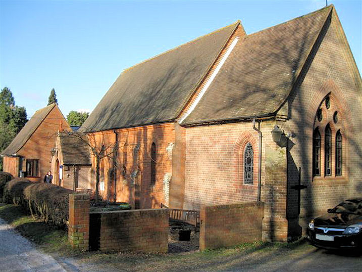
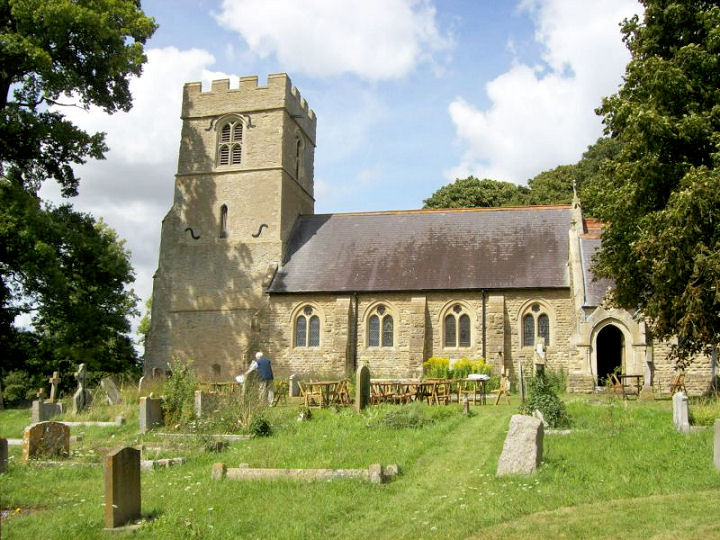
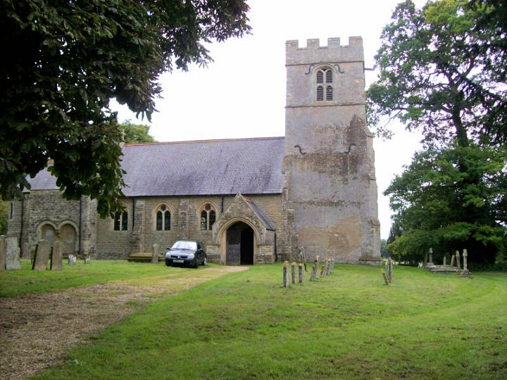
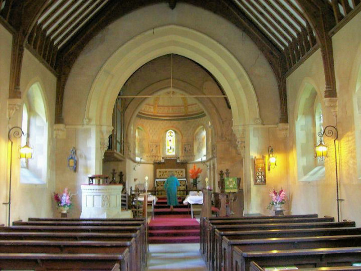
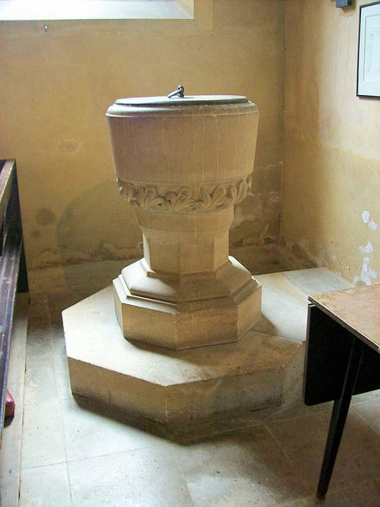
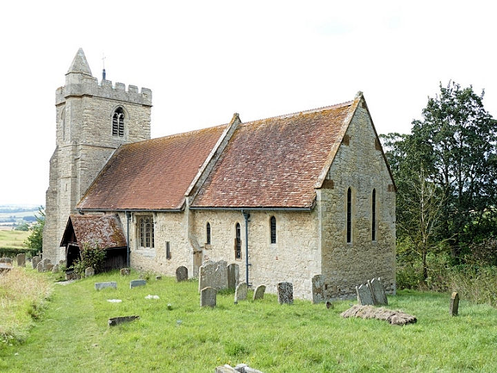
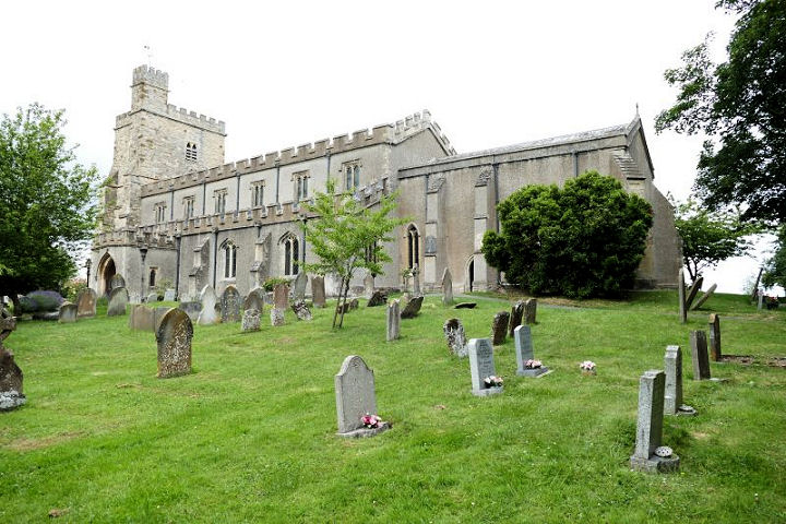
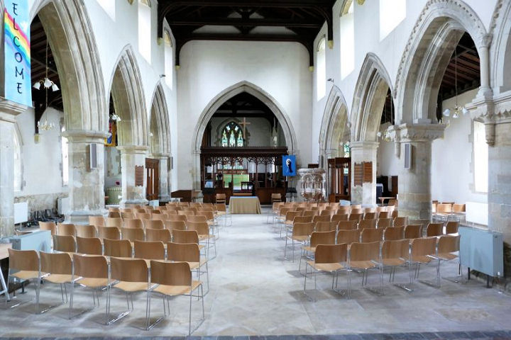
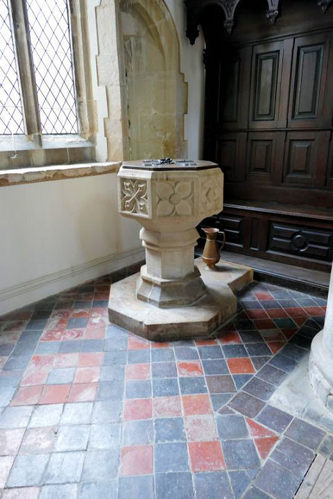
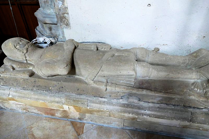
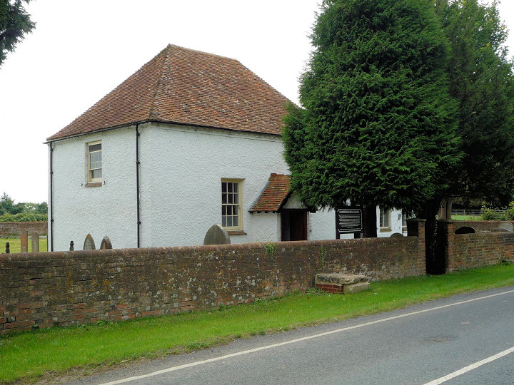
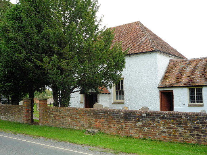
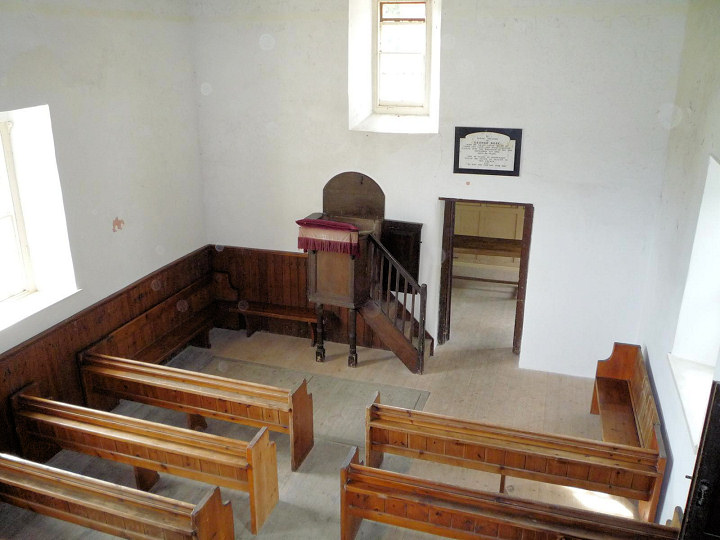
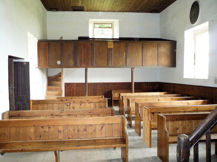
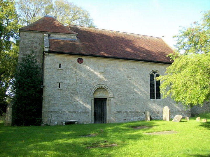
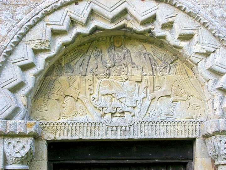
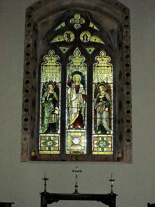
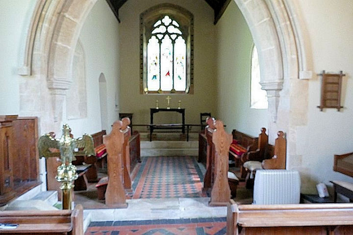
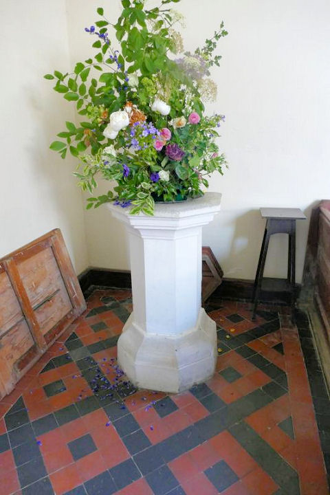
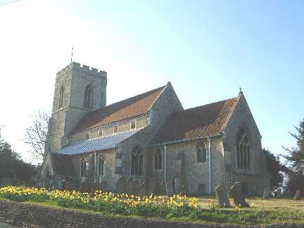
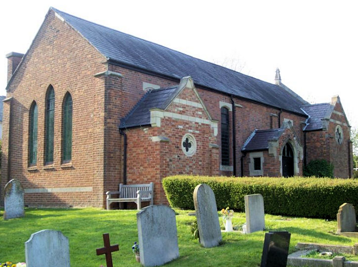
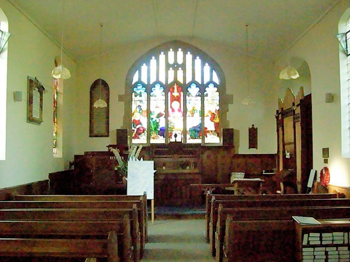
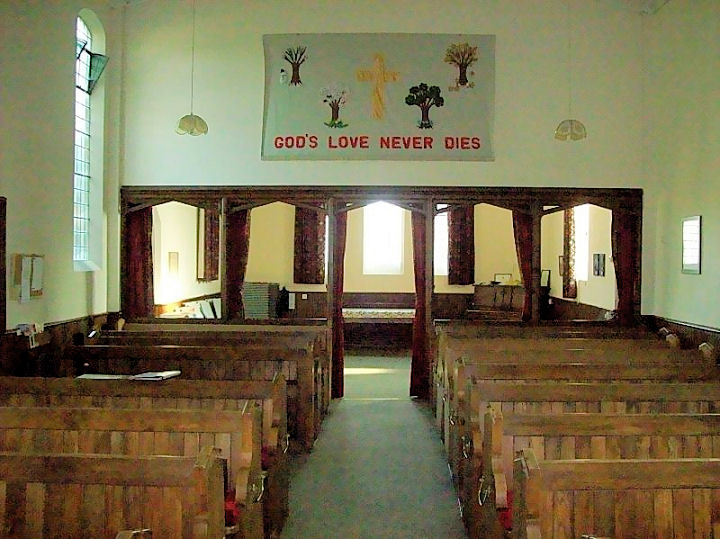
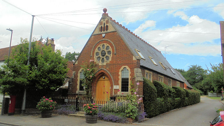
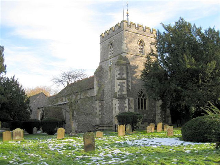
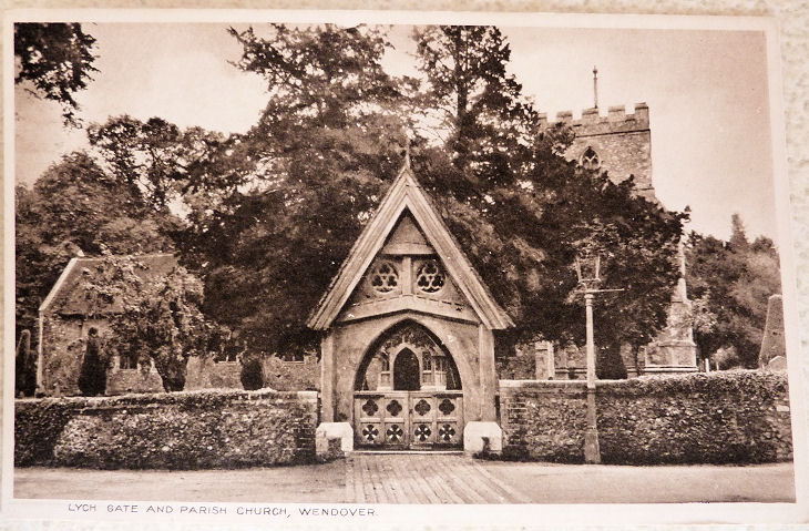
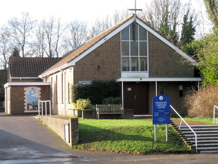
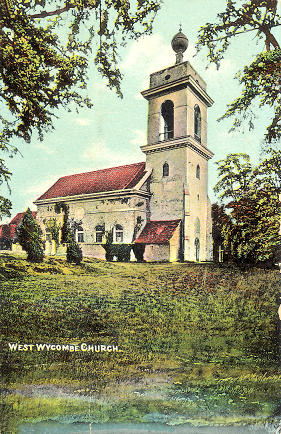
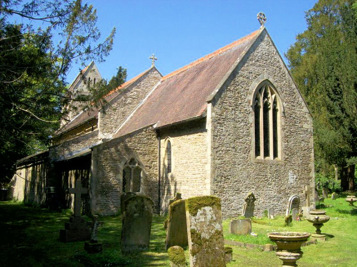
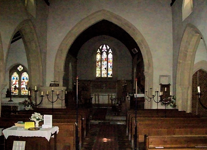
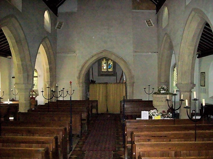
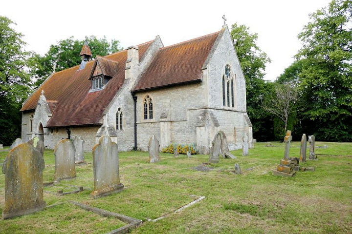
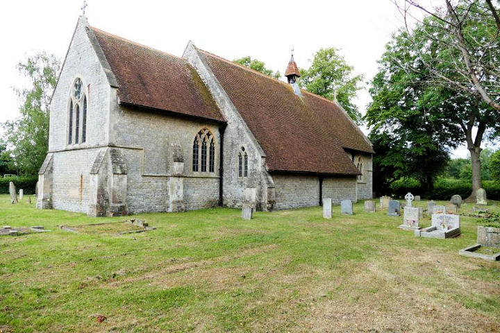
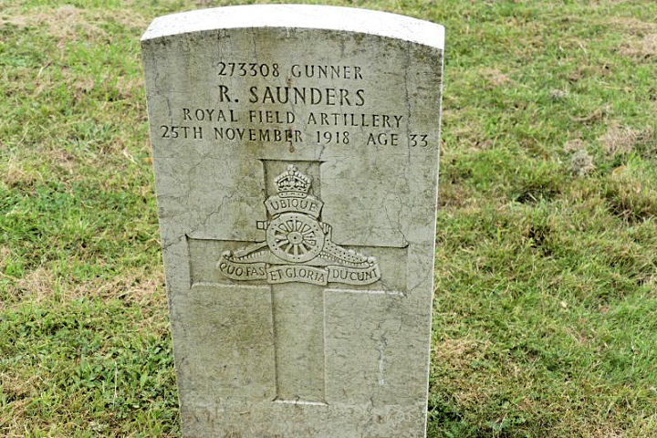
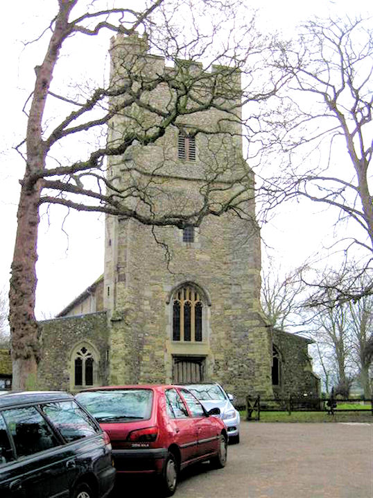
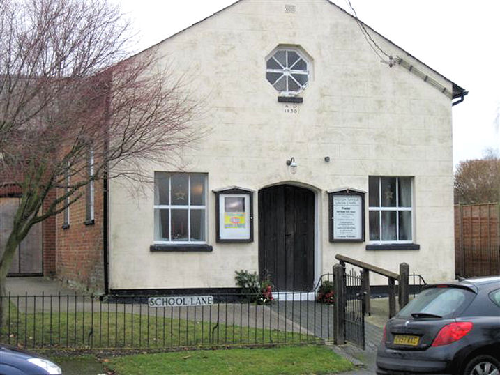
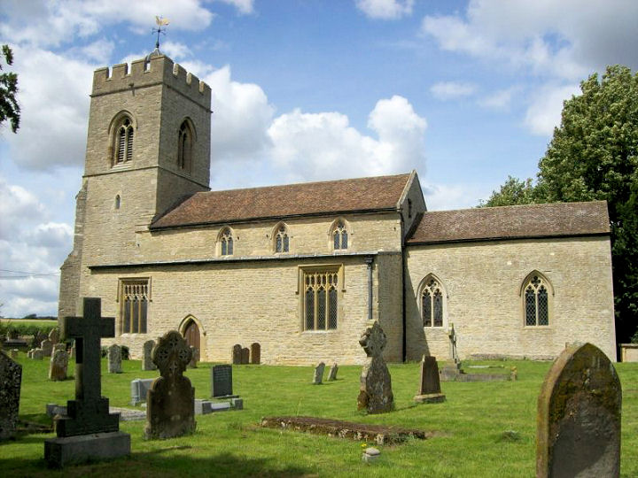
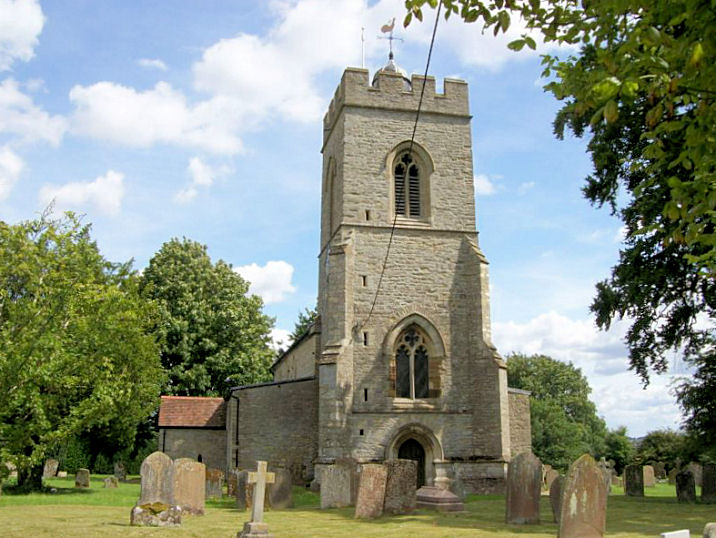
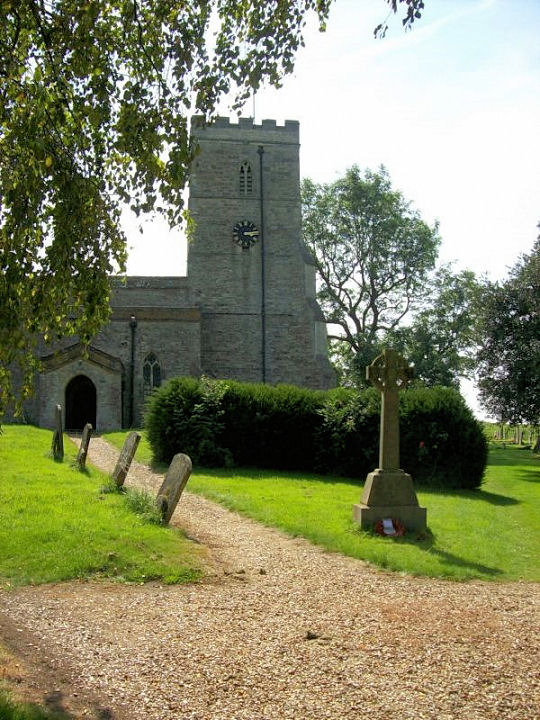
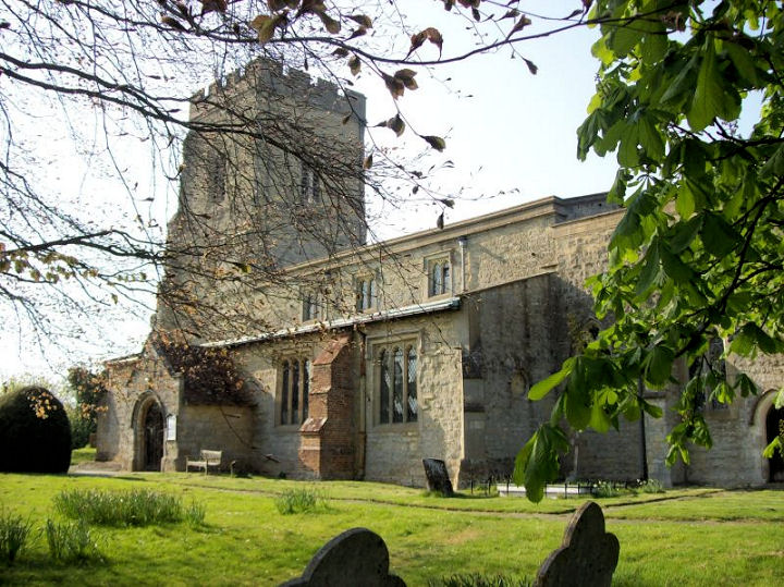
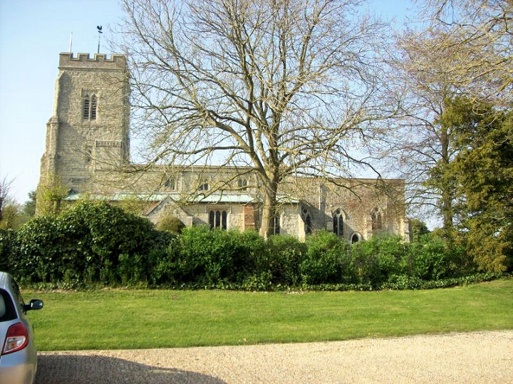
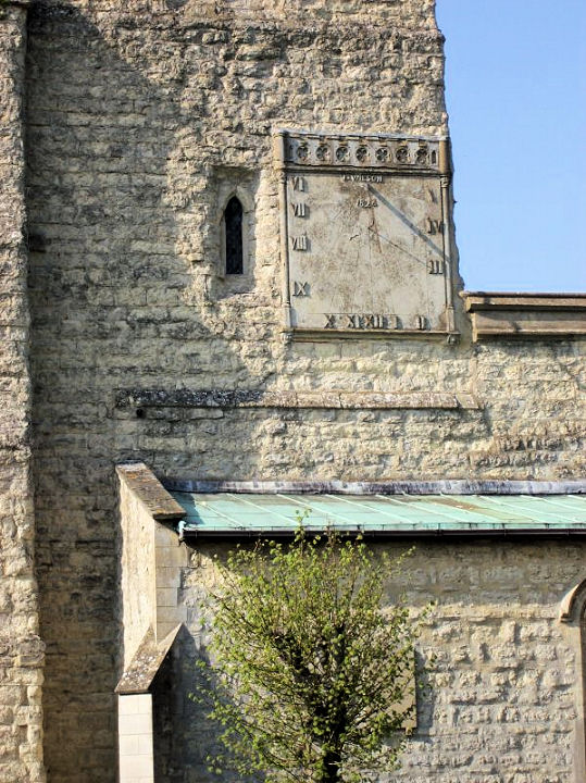
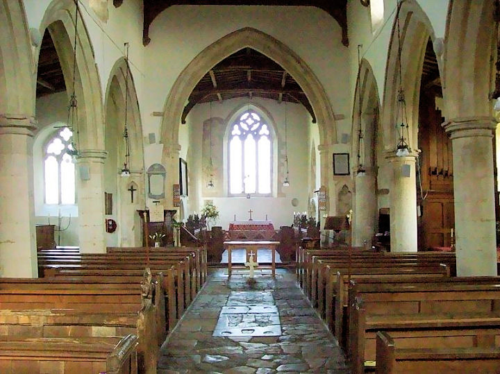
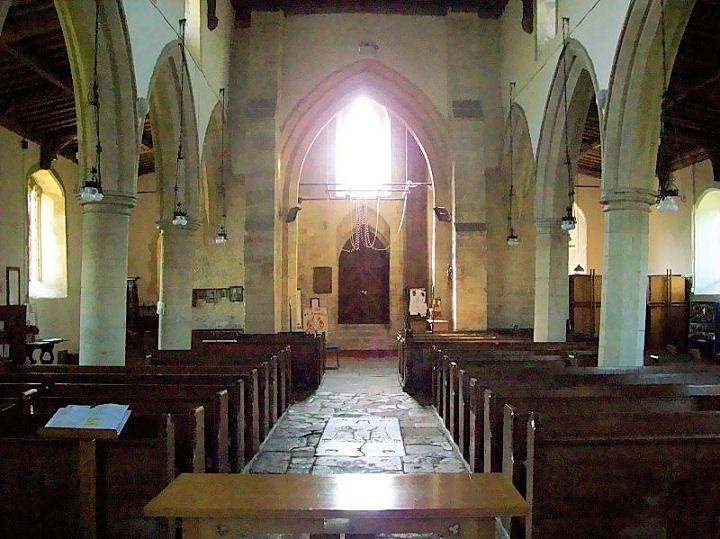
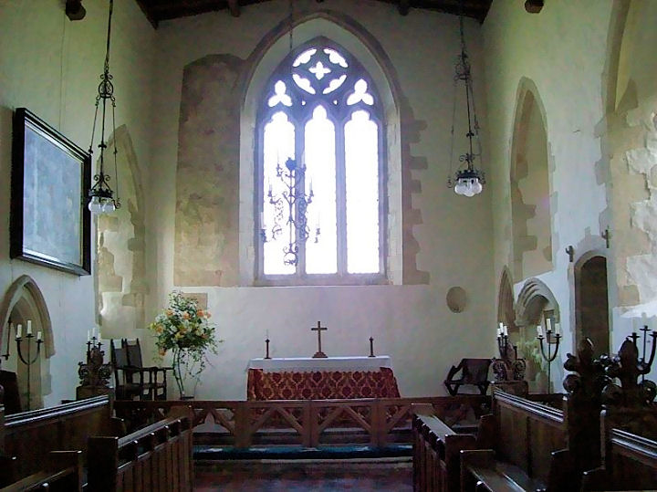
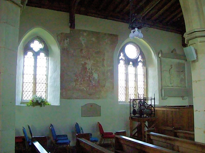
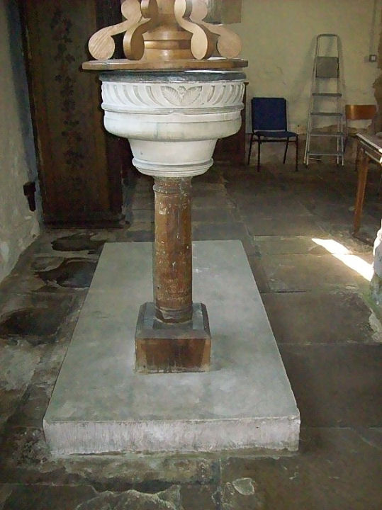
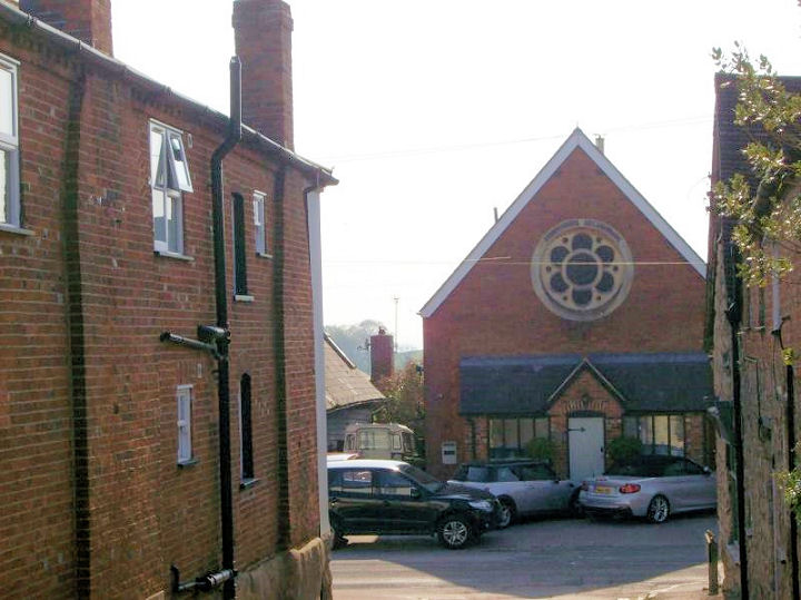
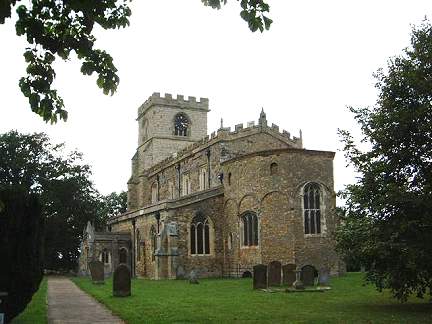
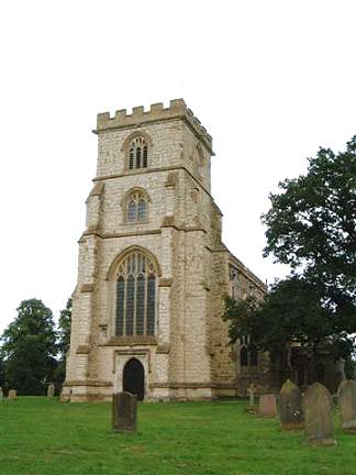
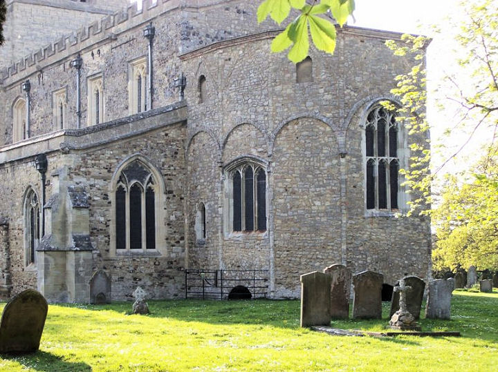
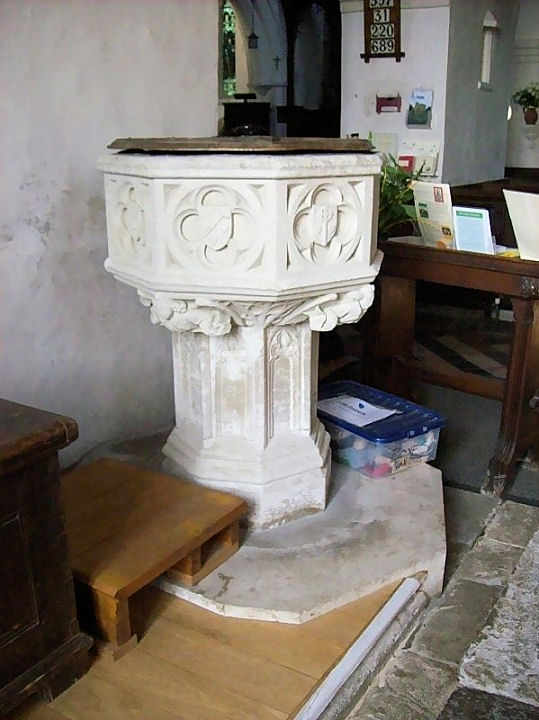
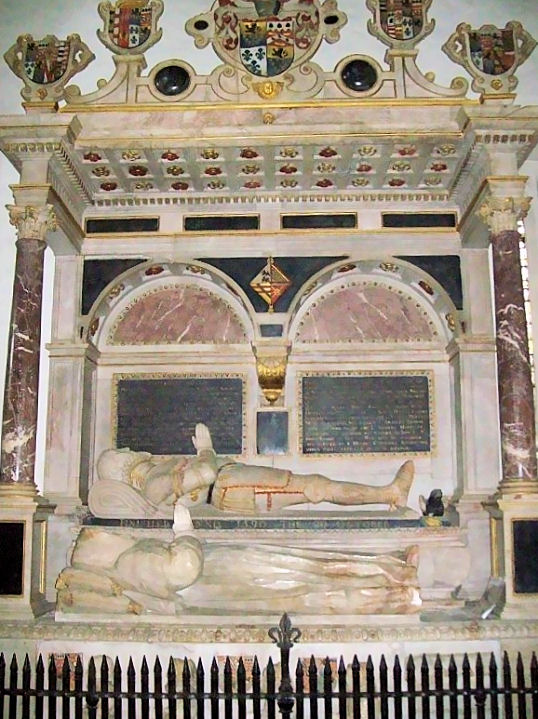
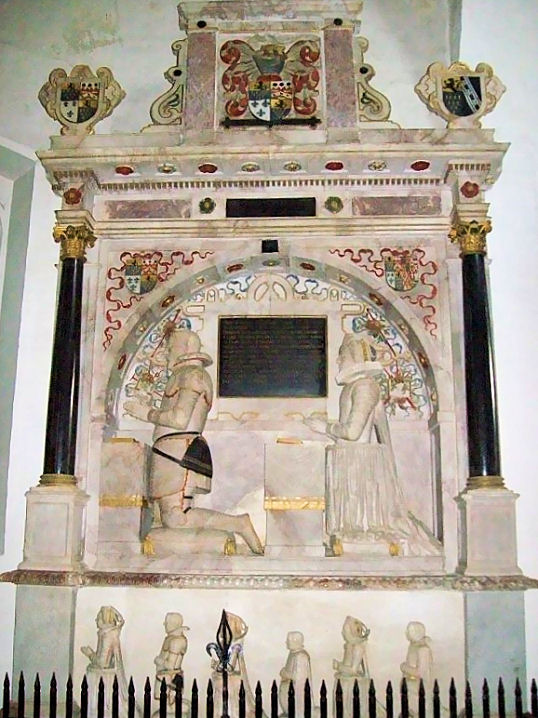
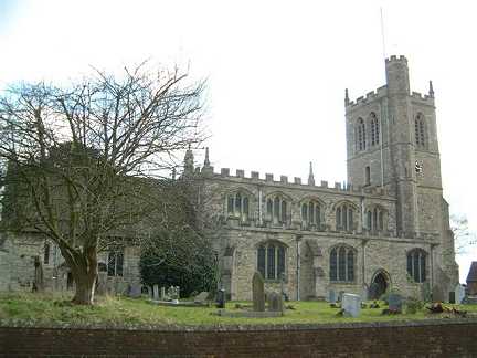
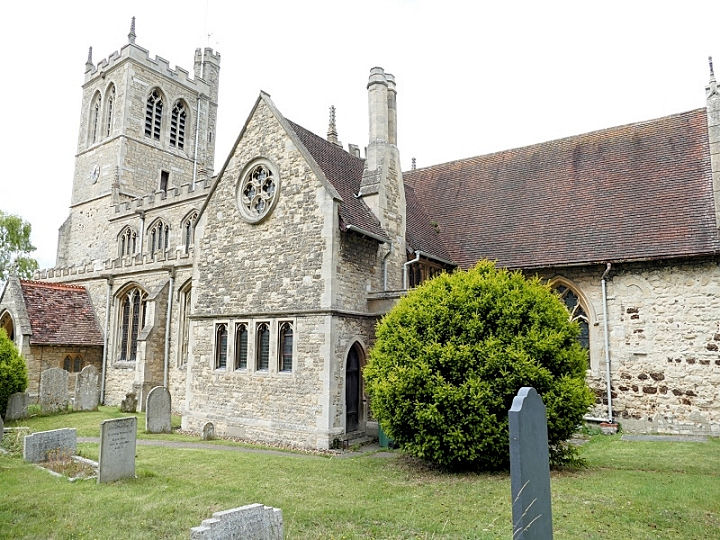
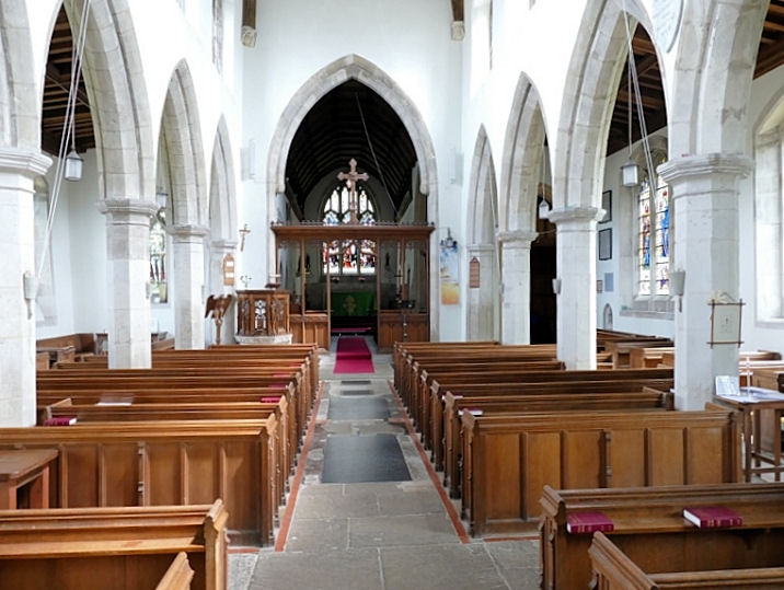
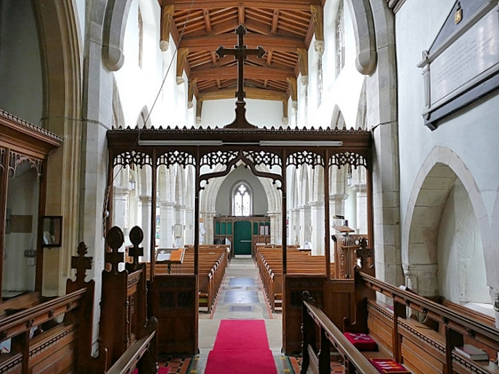
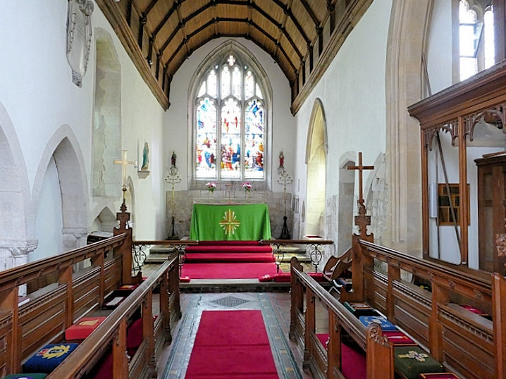
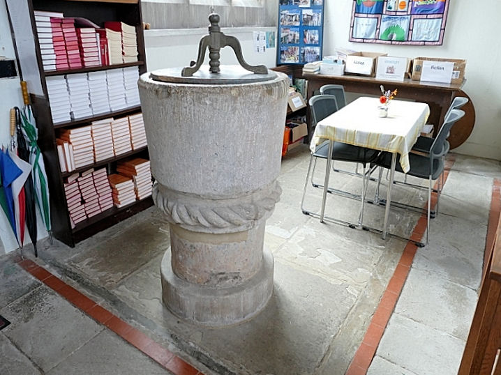
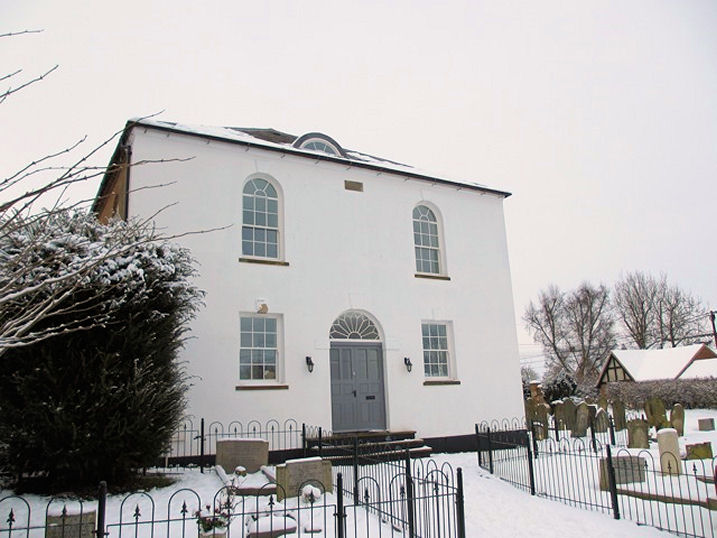
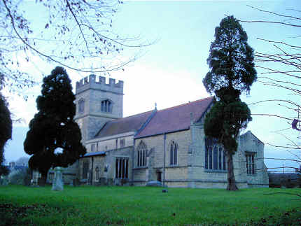
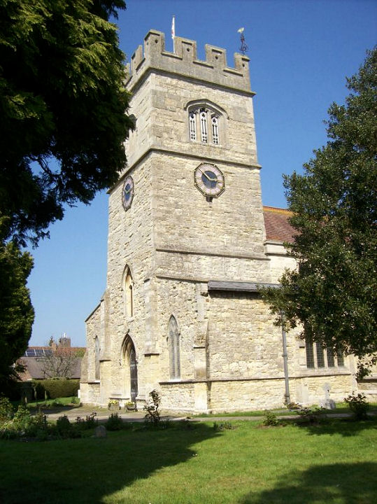
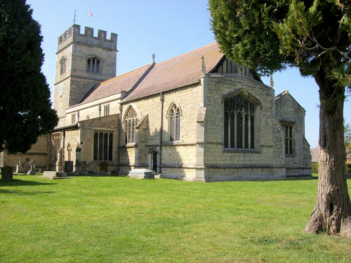
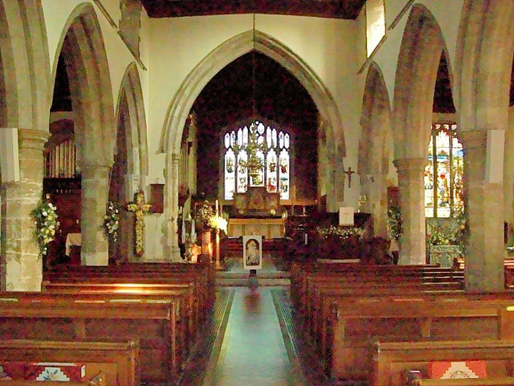
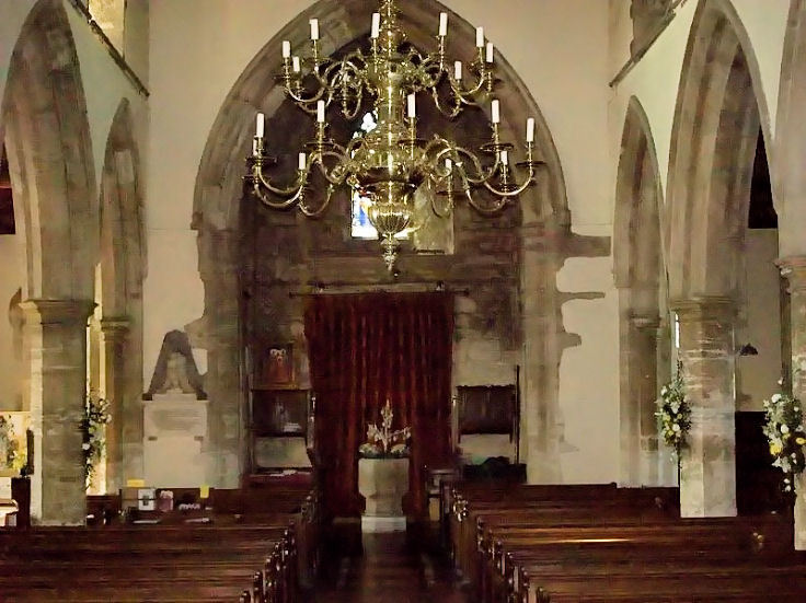
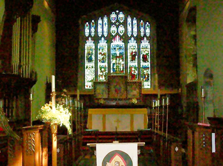
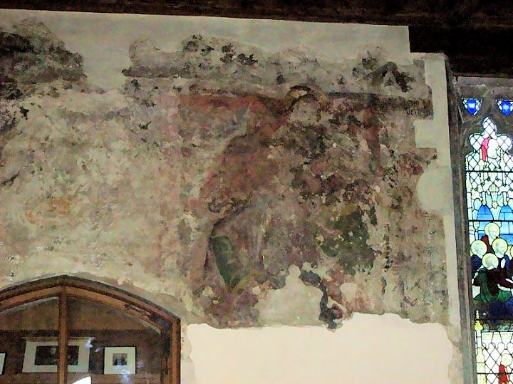
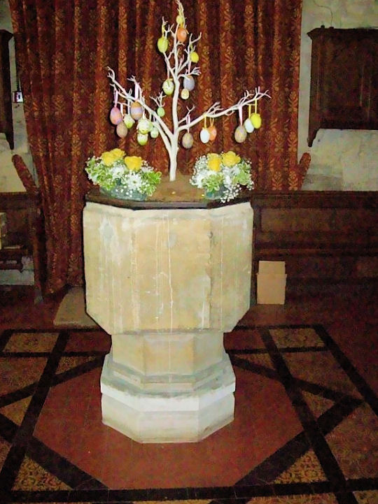
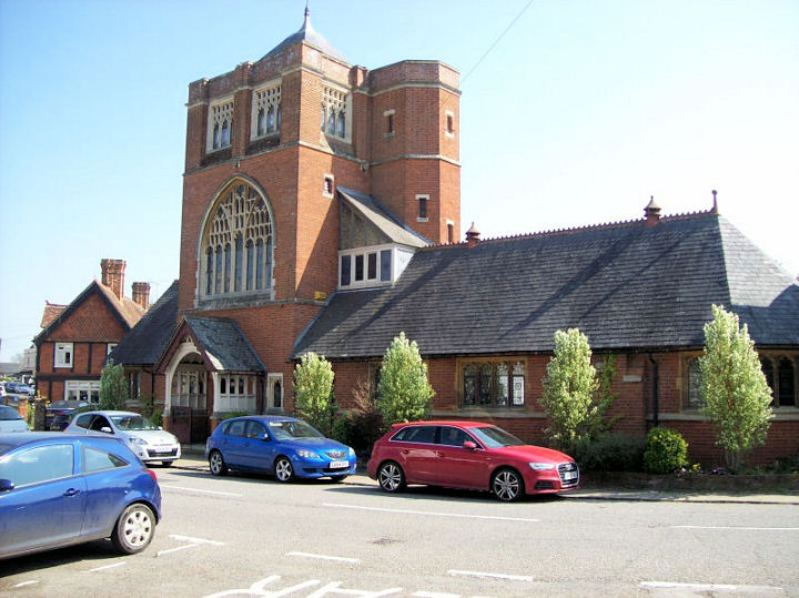
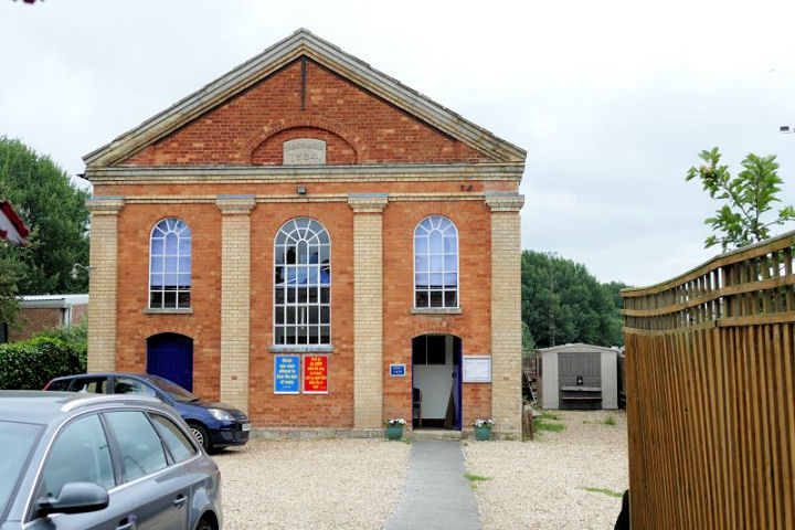
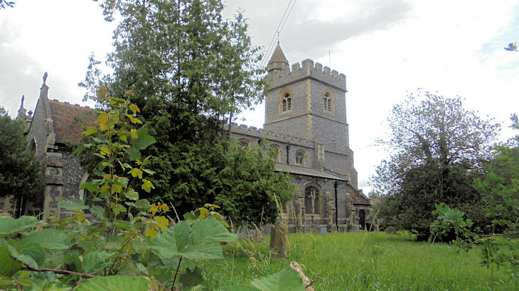
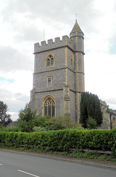
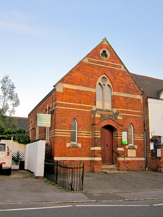
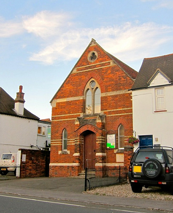
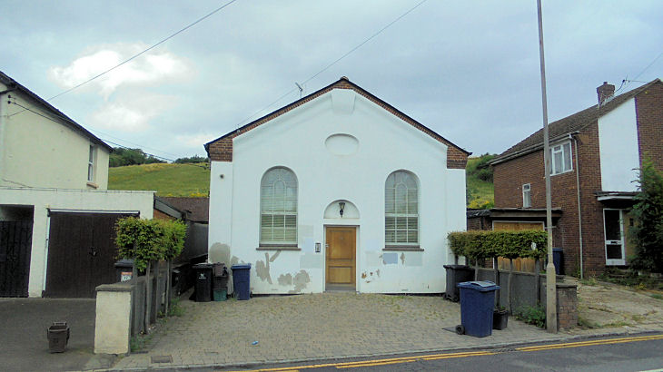
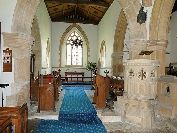
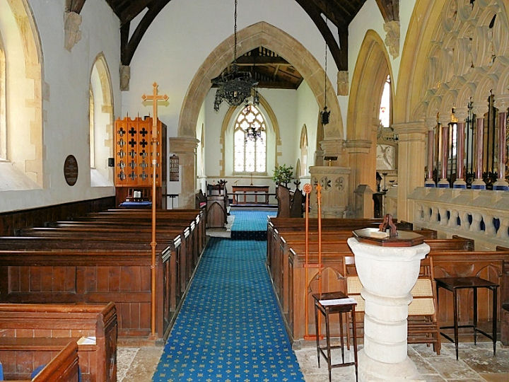
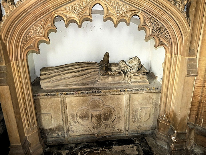
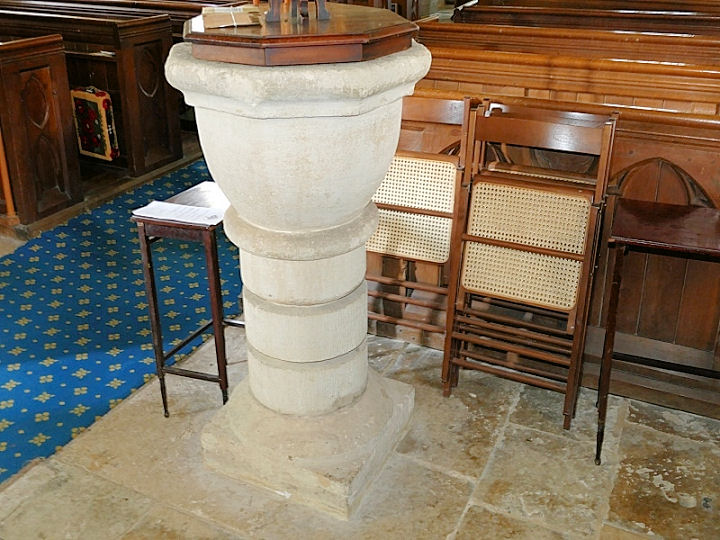
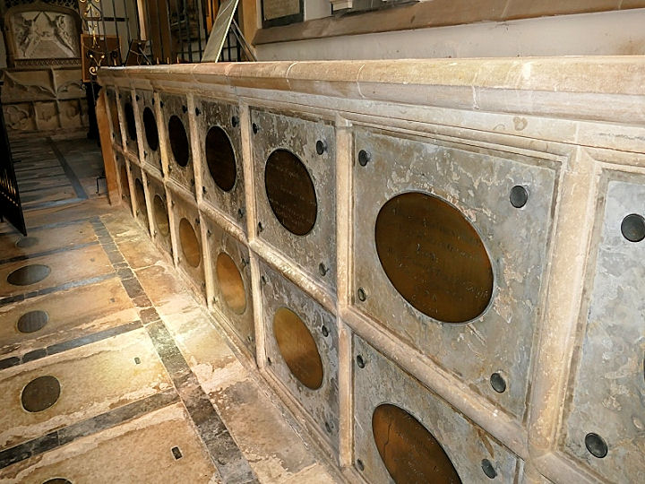
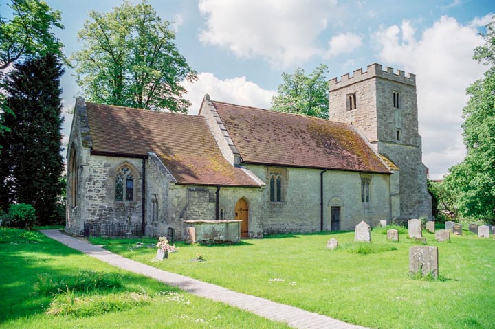
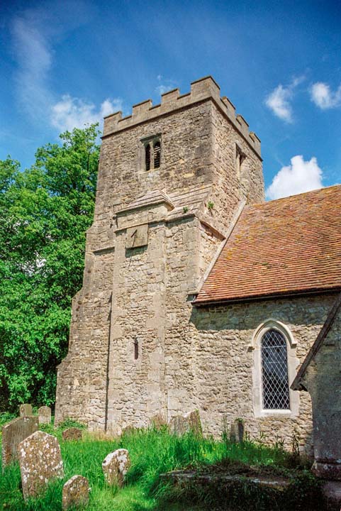