The Churches of Britain and Ireland
| Beaconsfield, Buckinghamshire
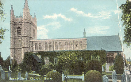
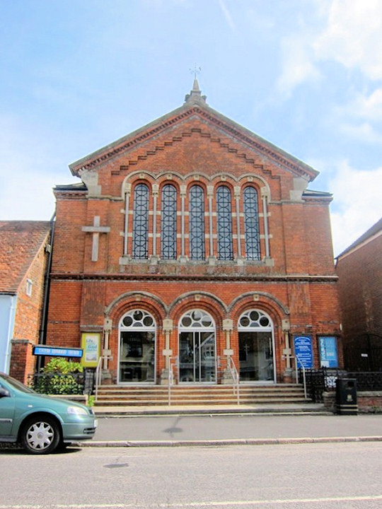
Hope Church on Baring Road, as seen by Streetview in 2020. The building (labelled only as Chapel) appears on a map of 1924. Later large scale maps are no more helpful. In 2026 A.I. suggests that it is Baptist. SU 9361 9125. Link. A Primitive Methodist Chapel used to stand on Windsor Street (now Windsor End) at SU 9454 8990. Built no later than 1897, it seems to have closed before WWII. A double garage stands on its site today - 2025 Streetview. St. Mary and All Saints. SU 9450 9000. From an old postcard in Steve Bulman's Collection. Link. Grade II* listed. And see here for related listed features. St. Michael and All Angels (2009 Streetview) is on St. Michael's Green. It's dated in its grade II listing to 1914-6, plus later additions. SU 9407 9140. Link. Saint Teresa of the Child Jesus and Saints John Fisher and Thomas More (R.C.) on Warwick Road. The church website dates it to 1926. In 2026 Google is listing it as Temporarily Closed. SU 9401 9135. 2025 Streetview. U.R.C. on Aylesbury End (the road was previously called Aylesbury Street). It was built as Congregational. SU 9445 9021. © Martin Richter (2011). Link. Its grade II listing provides dates for the first chapel (now the church hall, behind the present church) of 1800, and the second chapel of 1874-5. The first chapel can just be glimpsed in a Streetview from 2023. A map of 1883 shows another Congregational Chapel off High Street (now Wycombe End). The earliest O.S. maps are rarely clear to which building a label should be applied to, as is the case here, but it will have been circa SU 9440 9011, set back from the road behind other buildings. It isn't indicated on a map of 1900 and aerial views suggest it hasn't survived. Venture Church meets in Beaconsfield School (2018 Streetview) on Wattleton Road. SU 9432 9029. Link.
|
||
10 November 2026
© Steve Bulman