The Churches of Britain and Ireland
| St. Columb Major,
Cornwall
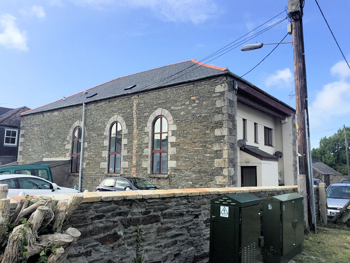
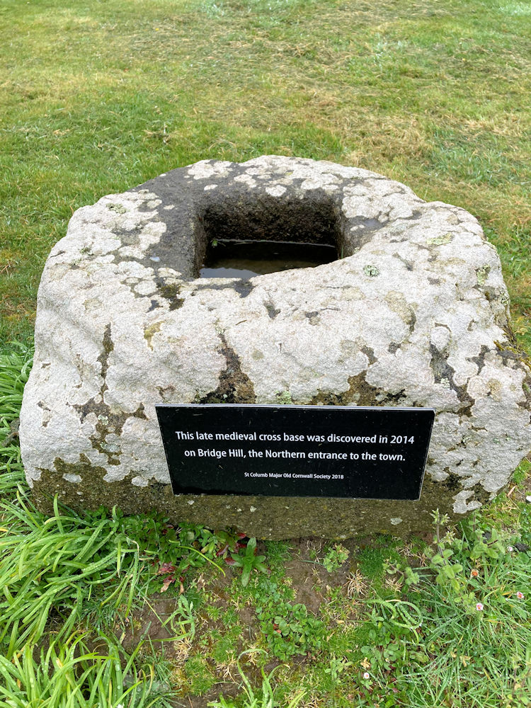
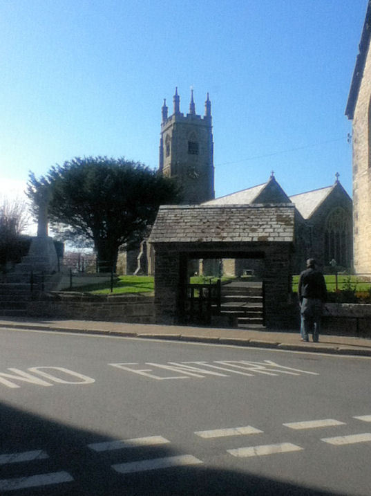
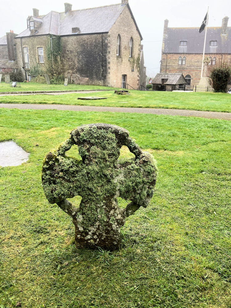
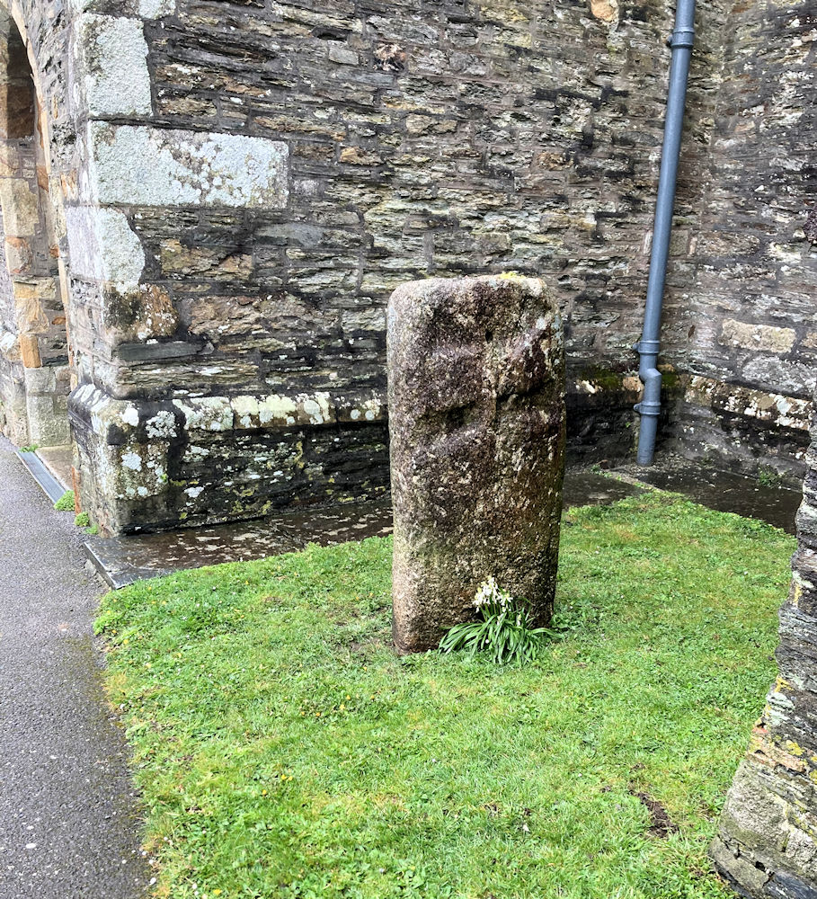
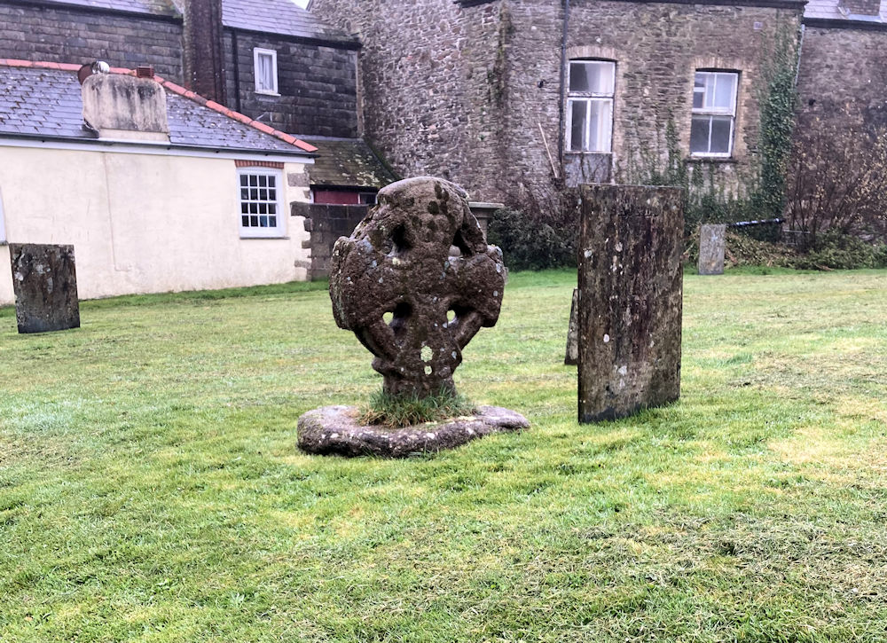
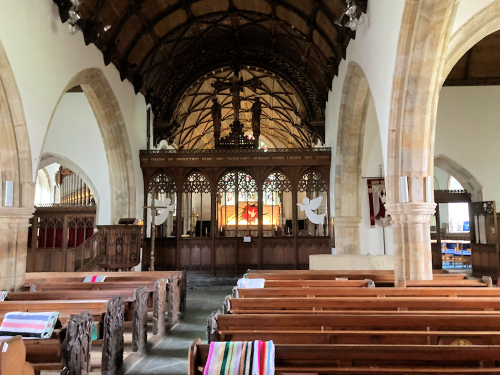
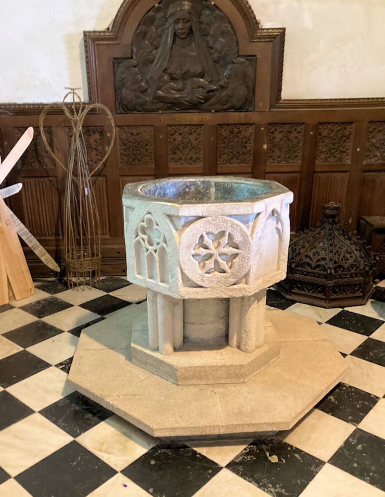
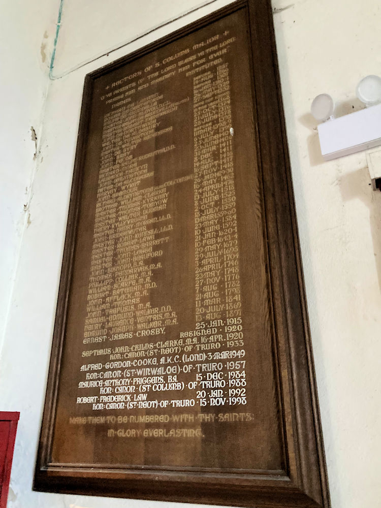
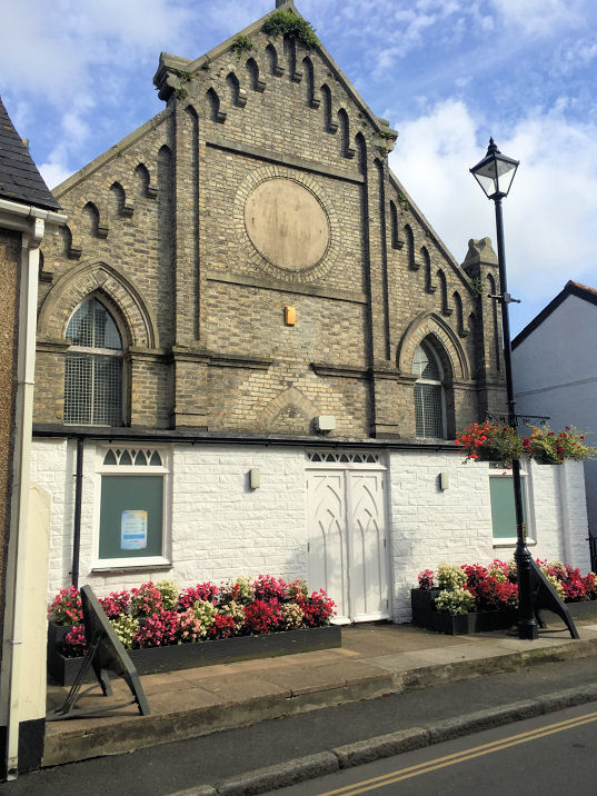
St. Columb Major on Wikipedia. The former Bible Christian Chapel of 1842, on Fore Street. SW 9122 6347. © Paul E. Barnett (2019). Link. Grade II listed. Chapel (Remains of) shows on O.S. maps at Bospolvans, west of the village at SX 9071 6354. It's mentioned here (p. 75) where it's described as medieval. Aerial views suggest that nothing survives above ground, and its site hasn't been seen by Streetview. The former Independent Methodist Church on Higher East Street. Pre-dating a map of 1888, a 1907 map shows it as Congregational. SW 9126 6348. © Paul E. Barnett (2019). The cemetery on Trekenning Road has two Mortuary Chapels. They pre-date a map of 1888, where they are labelled Episcopalian (at left in the photo, SW 9091 6274), and Dissenters (SW 9090 6272). Also in the cemetery is a re-located medieval cross base. Both © Paul E. Barnett (2026). St. Columba. Three ancient crosses - 1, 2, 3, the interior and the font. The list of incumbents commences in 1257. SW 9129 6368. All © Paul E. Barnett (2015 & 2026). Link. Grade I listed. Numerous churchyard monuments are also listed here. The former United Methodist Free Church on Fore Street (previously incorrectly listed as Wesleyan). SW 9123 6341. © Paul E. Barnett (2019). Link, wherein it's dated to 1876. The demolished Wesleyan Methodist Chapel (later Methodist) stood off Fore Street, next to the Congregational, at SX 9126 6346. Its site is now a car park (2023 Streetview - note the Congregational at the rear left). At some point after the old chapel closed, the congregation met in the single storey building next to the car park, seen here in a Streetview from 2011 - the church signage can just be made out above the blue car. Lack of a church web presence suggests that this may have since closed.
|
||
31 March 2026
© Steve Bulman
Contact Details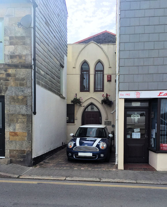