|
|
Gloucestershire
Gloucestershire on Wikipedia.
Abenhall, St. Michael. Another view.
SO 6713 1743. Both © Graeme Harvey (2013).
Link.
Grade II* listed.
Abson,
St. James. ST 7052 7485. © Phil Draper.
Link.
Grade I listed. For other listed features see
here.
Acton Turville, St. Mary.
ST 8084 8086. © Phil
Draper. Link.
Grade II* listed. The former
Baptist Chapel on Luckington Road, originally Particular Baptist, and now in residential use.
Another view. Circa
ST 811 810. Both © Janet Gimber (2012).
Adlestrop, St. Mary Magdalene. Two interior views- 1,
2, and the font.
SP 2430 2690. All © Steve Bulman (2011).
Link.
Grade II listed. For related listed features see
here.
Alderley, St. Kenelm (O). ST
7685 9080. © Graeme Harvey (2012).
Link.
Grade II listed. A good number of churchyard monuments are also
listed
here.
Alderton, St. Margaret of Antioch.
SP 0020 3319. © Graeme Harvey (2011).
Another view, and an interior view, both © Graeme Harvey (2012).
Link.
Grade II* listed.
The Old Chapel
(2024 Streetview) on Beckford Road is a former Wesleyan Methodist
Chapel, built after 1883 and before 1900. SP 0007 3334. A map of
1884 shows what must be its predecessor on Church Road, at SP 0026 3326.
It stood on what is now a parking area, seen by
Streetview in
2023. According to this
source, the
earlier chapel was built in 1833, the later chapel in 1899.
Aldsworth, St.
Bartholomew. SP 1539 0998. © Steve Watson.
Link.
Grade I listed. The listings for two churchyard monuments can be
found
here. Built between 1900 and 1920 is a former
Wesleyan Methodist Chapel on Chapel Row, at SP 1558 1009. It was
still in active use in the mid-20th century, but has since been closed
and converted - 2024
Streetview. Its
grade II listing dates it to 1907.
Almondsbury, St. Mary. ST 6035
8409. © Phil
Draper. Link.
Grade I listed. Numerous churchyard tombs are also listed
here. The village also had a Wesleyan
Methodist Chapel, set back from Gloucester Road behind other
buildings. It pre-dated a map surveyed in 1879, and was still in active
use into the latter half of the last century. The building on the site
today doesn't suggest that anything of the chapel has survived -
2023 Streetview.
ST 6060 8378.
Alstone, St. Margaret.
Interior view. SO 9827 3246. Both © Aidan McRae Thomson.
Link.
Grade II* listed.
Alveston, St. Helen (1885) on
Gloucester Road. ST 6336
8749. © Phil Draper. Link.
Grade II listed.
The churchyard war memorial is also listed, at
grade II. For old St. Helen, see Rudgeway, below. The Methodist Church
stands on Wolfridge Ride, off Greenhill Road at ST 6325 8784. © Graeme
Harvey.
Link. The former Primitive Methodist Chapel
(1883) on The Down, which is now in residential use. ST 6292 8813. © Janet Gimber (2012).
The site of its
predecessor of 1854, which stood almost directly across the road.
© Janet Gimber (2020).
Link (for both P.M.'s).
Alvington, St. Andrew.
SO 6032 0069. ©
Graeme Harvey (2015).
Another view, © Janet
Gimber (2015).
Link1.
Link2.
Grade II listed. A monument in the churchyard is also
grade II listed.
Ampney Crucis, Church of the Holy
Rood. SP 0650 0190. © Graeme Harvey.
Link.
Grade I listed. A cross and several monuments in the churchyard are
also listed
here. The cemetery on the (apparently) un-named main road heading
east has a Mortuary
Chapel (2023 Streetview). SP 0732 0220.
Chantry (2023
Streetview) stands on the site of, or is converted from, a
Primitive Methodist Chapel, shown on maps
revised in 1901 and going out of use in the first quarter of the last
century. It may show on a map of 1885, though it's unlabelled. It seems
to have been succeeded by another chapel by the time of a map revised in
1938. It site is now a car parking area, seen by
Streetview in
2024. SP 0691 0232.
Link (for both).
Ampney St. Mary, dedicated to St.
Mary.
SP 0756 0154. © Aidan McRae Thomson. Another view,
interior view, and one of many fragments of wall paintings, all ©
Chris Stafford (2013). Link.
Grade I listed.
A little way to the S.E. of the village is site of a
Primitive Methodist Chapel, pre-dating a
map of 1884. In a
Streetview from 2023 that part of the building nearest to the camera
(with the large chimney) marks the chapel's site. Does anything survive
of the chapel?
Ampney St. Peter, St. Peter. SP
0818 0152. ©
Graeme Harvey.
Link.
Grade II* listed.
Some monuments and a cross in the churchyard are also listed
here.
Apperley, Holy Trinity.
SO 8614 2809.
©
Graeme Harvey.
Link
- dates it to 1856. The Methodist Church
on School Road was originally Wesleyan. SO 8589 2761. ©
Graeme Harvey.
Link. The adjacent building is described in its
grade II listing as a "Former Moravian, later Methodist Chapel, now
store", and dates it to 1750. Not well seen by Streetview because of
trees, here's the
best, from 2024.
Arlingham, St. Mary.
Another view. SO 7065 1067. Both © Graeme
Harvey (2010). Interior view,
and a charming memorial,
both © Nick Hopton (2010).
Link.
Grade I listed. Numerous churchyard monuments are also listed
here.
Arlingham Free Church on
Friday Street is
the former Ebenezer Methodist Chapel, dated 1820. The covered car in the
driveway suggests that the Free church may now be former too. SO
7101 1105. © Chris Kippin (2019).
Ashchurch, St. Nicholas, and the stocks. SO 9277 3341. Both © Andrew Ross.
Link.
Grade II* listed. See
here for the listed churchyard monuments. A map of 1882 shows a
Baptist Chapel (Particular) a little way
south of the village at Natton, at SO 9292 3269. It had closed by the
middle of the last century. Its site lies beneath (or perhaps just to
the left of) the agricultural buildings seen by
Streetview in
2010.
Ashleworth, St. Andrew and St.
Bartholomew.
SO 8186 2519.
© Graeme Harvey.
Interior view, © Aidan McRae Thomson.
Link.
Grade I listed. Several monuments in the churchyard are also listed
here.
Ashley, St. James.
ST 9317 9471. © Graeme Harvey (2013).
Link.
Grade II* listed.
Two monuments in the churchyard share a
grade II listing.
Aust, St. John (more properly The
Ancient Chapelry of St. John). A fourteenth century church, although
only the tower survives from that date - the rest is of an early
Victorian re-build. Two additional views -
1,
2, and the
cockerel weather-vane. The
church has some fine gargoyles - 1,
2. ST 5725 8908.
All © Carole Sage (2018).
Link.
Grade II* listed. Numerous churchyard tombs also have listings
here. The
Evangelical Church was originally Zion Free Methodist Chapel (1896).
Map evidence implies that the Methodists were still active at least
until 1972, with the present church taking over in the 1980's.
Another view. ST 5745 8902.
Both © Carole Sage (2018).
Link.
Avening, Holy Cross. Another view, an
interior, and the East window. ST 8796 9800. All © Graeme Harvey (2014).
Link.
Grade I listed. See
here for related listed features. The former
Baptist Chapel on Tetbury
Hill, now in residential use.
It's referenced
here as having been founded in 1806, and is labelled as Particular
Baptist on a map of 1884. ST 8839 9792. © Graeme Harvey (2013). A 2023
Streetview provides
another view.
Awkley, The Vine (Evangelical).
This was originally Ebenezer (Wesleyan) Chapel of 1850 (date-stone),
which later became Independent. ST 5859 8584. Both © Carole Sage (2018).
Link.
Awre, St. Andrew.
SO 7088 0805. © Graeme Harvey.
Link.
Grade I listed. Several tombs also have listings
here.
Aylburton, St. Mary.
Another view. SO 6172
0195. Both ©
Janet Gimber (2015).
Link.
Grade II listed. The Methodist Church
on High Street and Wesley Close. The
village Wikipedia
entry dates the chapel to 1915. SO 6178 0183. ©
Graeme Harvey.
Link. O.S. maps show Chapel (Site of)
at Chapel Hill at SO 6148 0196. It's mentioned on the Wiki page already
referenced as St. John (later St. Mary), with a building date of
before 1219. Its site can't be seen on Streetview.
Badgeworth, Holy Trinity. Another
view, and an interior view.
SO 9015 1922. All © Rosemary Groves (2010). The lych-gate, © Graeme Harvey (2012).
Link.
Grade I listed. See
here for related listed features.
Bagendon, St.
Margaret. SP 0113 0665. © Mark Turbott.
Link.
Grade I listed. A pair of monuments share a
grade II listing.
Batsford, St. Mary. SP 1869 3389. © Peter Morgan.
An old postcard view, from Reg Dosell's collection.
Link dates it to
1861-2, the third church on the site.
Grade II* listed.
Beachley, St. John the Evangelist
(1833). ST 5505 9127. ©
Graeme Harvey.
This source
says that the church is now redundant, but doesn't supply a date.
Grade II listed. See
here for related listed features. A distant view of the ruined St. Twrog's Chapel
on an island just off the coast.
ST 5484 9002. © Janet Gimber (2014).
A closer photo can be seen
here.
Grade II listed.
The Chapel in the Beachley
Barracks Army Camp. The photo was taken from the Severn Bridge.
ST 5470 9108. © Linda Parker.
Benhall, Cheltenham, - see
Cheltenham.
Bentham, St. John Chrysostom (Greek
Orthodox), formerly St. Peter (CoE). The churchyard is still St. Peter's. SO
9153 1612. ©
Graeme Harvey. Link.
Grade II listed - dates it to 1888.
Berkeley, the Minster Church dedicated to St.
Mary the Virgin. ST 6847 9903. From an old postcard in Steve Bulman's Collection. The tower, and the main body of the
church, both © John Turbott. Another
old postcard (heavily processed, and
dated 1912) from Paul E. Barnett's Collection.
Interior view, © Nick Hopton.
Link.
Grade I listed. The churchyard contains a number of
listed monuments. Link.
Cemetery Chapel on Station Road.
ST 6835 9964. ©
Janet Gimber (2017). This Church on
Salter Street was initially listed here as an Evangelical Church. This may or
may not have been an error, but in 2025 it's Congregational (link). The text beneath the
window in the gable end reads "Union Chapel 1835". ST 6837 9928. © Graeme Harvey (2012).
There is an Evangelical Church in the town,
on Lynch Road at ST 6808 9931 -
2025 Streetview. It's
dated
here to 1930, as Berkeley Gospel Mission.
The Old Chapel (2023
Streetview), at the western edge of the town on Canonbury Street, is a former
Wesleyan Methodist Chapel, dated 1805. ST 6861 9922.
Berry Hill, Christ Church,
and its interior. SO 5716 1296. Both © Peter Morgan.
Another view,
© David Gallimore, and another, © Graeme Harvey (2015).
Link.
Grade II listed - dates it to 1816. The former
Zion Primitive Methodist
Chapel on Chapel Road, as seen by Streetview in 2025. This
source, which calls it Joyford Zion Primitive Methodist Chapel, dates
it to 1846-1991. SO 5769 1249. The former
Bethel Baptist Chapel
(2025 Streetview) on Bicknor Street. Pre-dating a map of 1902, it was still
active in the mid-20th century. SO 5784 1348.
A map of 1902, revised no later than 1900, shows Salem
Chapel (Unsectarian) on Park Road. Streetview saw it in 2009, when it had
signage for Salem Free
Church, but by the time of the next visit in
2023, the signage had
been replaced by Berry Hill Band. SO 5756 1271.
Beverston, St. Mary. Three more views - 1,
2, 3, three interiors - 1,
2, 3, the pulpit
and the font. ST 8616 9401. All © Dennis Harper (2014).
Link.
Grade II listed.
Several monuments in the churchyard have listings
here.
Bibury, St. Mary.
St. Mary. SP 1182 0645. © Aidan McRae Thomson.
Another view, © Dave Westrap, and an
old postcard view, from Christopher
Skottowe's Collection. Two interior views - 1,
2, a fine Norman doorway,
a carved
Saxon stone in the chancel wall, and the font,
all © Steve Bulman (2011).
Link.
Grade I listed. There are many
listed monuments in the churchyard. Arlington Baptist Church
is dated 1833.
SP 1111 0674. © Steve Bulman (2011).
Link.
Grade II listed.
Birdlip, St. Mary. SO 9244 1435. © Aidan McRae Thomson.
The church website provides a date of 1957, and
says that it was a replacement for a mission
church on a different site, destroyed in a fire. The
Mission Church is shown on older O.S. maps (it post-dates one
surveyed in 1882) at the western end of the village, at SO 9244 1435. Pevsner
dates it to 1897. It stood at about where the garage is in a
Streetview from 2019.
Pre-dating the same map is a Baptist Chapel (General)
at SO 9273 1428. It remained in active use into the second half of the 20th
century, and may survive as
Old Chapel Cottage (2023 Streetview).
Bishop's Cleeve, St. Michael
and All Angels. SO 9608 2774. © Les Needham (2013).
Link.
Grade I listed. A churchyard monument is also listed, as
grade II. The Methodist Church is on Bishop's
Close, and was seen by
Streetview in 2024. SO 9611 2734.
Link. Older maps show a
Wesleyan Methodist Chapel on School Road at SO 9615
2781. Pre-dating a map of 1902, it's possibly older than a map of 1884, as there
is a building on the same site, with the same footprint, but it isn't labelled.
Chapel Cottage, stands on the site today (2024
Streetview). The former
Cleeve Chapel (2023 Streetview) on Pecked Lane is labelled as a
Countess of Huntingdon's Connexion Chapel (in 1902)
and Chapel (Nonconformist) in 1884. SO 9617 2755.
Older O.S. maps show, about half a mile S.E. of St. Michael,
Presbyterian Chapel, pre-dating a map of 1884. The
25" map of 1902 has it as Presbyterian Chapel (Church of Scotland). It
had been closed and demolished no later than 1921,and the house on the site
today was seen by Streetview
in 2024. SO 9658 2705. O.S. maps mark (somewhat vaguely, admittedly) a
Chapel, the label in the script used for ancient buildings. In all cases
though, the label is shown immediately north or north-west of Cleve Hall,
one-time residence of the Bishops of Worcester. Cleve Hall can be seen in a
Streetview from 2024.
It's tempting to suggest that the extreme right (i.e. the north side) of the
hall is the chapel, but the south side has an identical wing. Otherwise the
chapel may be assumed to have gone, in which case it would have stood somewhere
on the lawns to the right of the hall. The hall is
grade II* listed - the listing makes no mention of a chapel. Can you throw
any light on this mystery?
Bisley, All Saints. SO 9037 0593. © Peter
Wood. Interior view, © Graeme Harvey (2012). Link.
Grade II* listed. For related listed features see
here. The former
Methodist Chapel (closed 2010) on
High Street. Older maps label it as Wesleyan. SO
9045 0596. © Graeme Harvey (2012). The 25" map of 1903 shows, just a little way
S.E. of the church, a Mission Hall, at SO 9044
0590. Standing behind other buildings on High Street, aerial views suggest it
hasn't survived, and its site hasn't been seen by Streetview. Mid-20th century
maps show a place of worship on Wells Road, at SO
9040 0575. It must be this
building (note the cross on the roof), seen by Streetview in 2023. What was
it?
Bitton, St. Mary the Virgin. ST 6819
6934. © Phil Draper. Link.
Grade I listed. See
here for related listed features.
Free Methodist Church on Mill Lane. ST
6810 6971. © Phil Draper. It was
later the village Methodist Church, but was closed in 2004 according to this
source, which
dates its origin to 1859. There was also a
Wesleyan Chapel on Bath Road, at ST 6803 6970, dated in the source
already cited to 1834. It hasn't survived - it seems to have gone out of use in
the mid-20th century. Its site was seen by
Streetview in 2021.
Blaisdon, St. Michael and All Angels.
SO 7030 1722. ©
Graeme Harvey.
Link.
Grade II listed. The churchyard also has numerous listed monuments, which
can be found
here.
Blakeney,
All Saints, and its
interior. SO 6721 0709. Both © Aidan McRae Thomson.
Another view, © Graeme Harvey.
Link.
Grade II listed - dates it to circa 1820, with later sanctuary. The
Baptist Church on High Street. To
the right of the porch is an inscription which reads "Restored 1874". This
source dates it to
the mid-1830's. Its
sale history shows that it had closed no later than 2016. SO 6700 0690. © Graeme Harvey.
Another view, and two interior
views, 1,
2. All © Derrick Reeves. The
village also had an Independent/Congregational/U.R.C.
Chapel, on Cinderford Road. Only the briefest glimpse can be had on
Streetview (2023), which
shows that it survives in some form. It pre-dates a map surveyed no later than
1879, and was still in active use at least until the 1960's. It's dated in its
grade II* listing to 1849, and says it was a replacement for a chapel of
1829 at Blakeney Hill (I haven't been able to locate it). This
source gives
its closure as 1988. SO 6686 0703. Fairview Chapel is shown on older O.S. maps at Blakeney Hill, at SO 6641 0726. Labelled as
Primitive Methodist on a map of 1881, it's dated
here to the mid-1870's, closing in 1990. It was seen by
Streetview in 2025. Of
available on-line maps, only that of 1878 shows a Mission
Hall at Blakeney Hill. Unfortunately it isn't clear which building the
label is meant to apply to, but it was somewhere near SO 6601 0718. If it
survives in any form, it isn't obvious from Streetview.
Bledington,
St. Leonard. SP 2450 2255. © Aidan McRae Thomson.
Link.
Grade I listed. See
here for related listed features. The village had a
Wesleyan Methodist Chapel by 1884,on Chapel Lane. Now
Chapel House (2025
Streetview), it has a surviving date-stone, unfortunately not clearly visible
on the Streetview, but it's possibly for 1830-something or 1850-something
(confirmed as 1851
here). It
was still active into the second half of the last century. SP 2458 2288.
Blockley,
St. Peter and St. Paul.
Interior view. The church is frequently featured in the BBC "Father Brown" series.
SP 1646 3492. Both © Aidan McRae Thomson. Another view, © Simon Edwards (2011).
Link.
Grade II* listed. See
here for related listed features. A map of 1885 shows Ebenezer Baptist
and Primitive Methodist Chapels. Ebenezer survives,
set back from High Street, and was seen (though not well) by
Streetview in 2024. Its
grade II listing says it's dated 1835. SP 1623 3478. The
P.M. was on Bell Bank, and was perhaps bought from
the Baptists in 1850. Its closure is dated
here to 1907. It seems to have survived as today's
village hall - 2024
Streetview. SP 1632 3486.
Boddington, St. Mary Magdalene. SO
8944 2520. ©
Graeme Harvey.
Link.
Grade I listed. There's a
grade II listed monument in the churchyard.
Bourton-on-the-Hill, St.
Lawrence. SP 1753 3252. From an old postcard in Reg Dosell's collection.
Link.
A 2025 Streetview provides a
modern view.
Grade I listed. Several listed monuments can be found
here.
Bourton-on-the-Water, St. Lawrence.
SP 1670 2086. © John Salmon. Another view, and an interior view, both © Alan Blacklock.
Another view, © Chris K. (2013). Link.
Grade II* listed.
See
here for related listed features. The
Baptist Church is on Station Road.
Its
grade II listing dates it to 1876. SP 1688 2064. © Graeme
Harvey. Another view, © Alan Blacklock.
Link.
Our Lady Help of Christians (R.C.) on
Station Road. Its
Taking Stock entry includes an interior photo, and dates it to 1960. This
source says it has closed,
but doesn't give a date - in 2026 A.I. says it was closed in 2021. Streetviews
show it still standing in
2023, replaced by housing in
2025. SP 1679 2143. © Graeme Harvey. A Primitive Methodist Chapel
shows on a map of 1885 on Clapton Row at SP 1679 2042. It was still there as
P.M. on a map of 1902.
Streetview (2025) shows a Christadelphian Hall on the same site, dated 1904.
Is this the P.M. Chapel re-dated, or a replacement? This
source says that it
was the P.M. Chapel, and says it was still active (as Christadelphian) in
1962, but it's evidently in secular use now.
Box, St. Barnabas. SO 8612 0016. ©
Graeme Harvey (2012).
Link. The
about us page
dates it to 1951-2. Its predecessor on the same site shows on older maps show as
a Mission Room. Mid-20th century maps show a place of worship at nearby
Hampton Green at SO 8620 0069. Not otherwise labelled, this
source identifies
it as St. Thomas More and St. John Fisher (R.C.),
and provides dates of 1936 to post-1973. Aerial views suggest it may
survive, but it hasn't been seen by Streetview, though the
access road to it (Church End) has, in 2023.
Boxwell, St.
Mary the Virgin. The
church website
has more photos. Another view. ST 8123
9270. Both © Janet Gimber (2019).
Link.
Grade II* listed. Some churchyard monuments are listed separately as
grade II*.
Bradley Stoke, Christ the King (CoE,
opened 1991) on Brook Way and Kemperleye Way. ST 6203 8136. ©
Graeme Harvey. Link.
Bradley Stoke Evangelical
Church on Baileys Court Road, as seen by Streetview in 2025. ST 6313 8093.
Link.
Holy Trinity is on Pear
Tree Road and Broad Croft, at ST 6144 8292, and was seen by Streetview in 2021.
Link.
Bream, St. James. Pevsner dates it to
1823, with alterations in 1860, on a site dating back to the early 16th
century. SO 6007 0550. © Graeme Harvey. Link.
The
Methodist Church on Parkend Road.
This source provides a
date of 1850, with closure "by 2016", and that it had been in turn Bible
Christian, United Methodist, and Methodist. SO 6051 0617. © Graeme
Harvey.
Link. Older O.S. maps also show Wesleyan and
Primitive Methodist Chapels. The P.M. (Zion)
survives, on Whitechapel Road, and was seen by
Streetview in 2009, when
still active. This
source dates it to 1858, closing (as Methodist) in 1991. SO 6083 0612. The
Wesleyan has also survived, and stands on Brockhollands Road at SO 6064 0589.
Dated 1860, in 2025 (Streetview)
it was undergoing building works, but in 2009 (Streetview)
it was showing signage for Christian Gospel Church, and in 2016 and 2023
(Streetview) for
Victory Church.
Bridgeyate (sometimes Bridge
Yate), the Methodist Church. The 1903 25" O.S. map labels this as Ebenezer
Chapel (United Methodist), and Pevsner says it's dated 1810. ST 6815 7329. ©
Phil Draper. It had evidently closed by 2026, when Streetview was labelling it
as a beauty salon. It appears to have been in secular use at the time of the
first Streetview visit in 2009.
Brierley, U.R.C. (dated
1884, as Congregational).
SO 6259 1531. © Graeme Harvey (2013). It has since evidently closed, with
building works to be seen on
Streetview in 2025.
Brimpsfield, St. Michael and All
Angels. Interior view, and the
altar. SO 9418 1283. All © Simon Edwards
(2012).
Link.
Grade I listed. Numerous churchyard monuments are also listed - they can be
seen
here. Old maps indicate "Site of Priory (Benedictine)" not far
from the church, at SO 9413 1287. In this
2019 Streetmap, it would
have stood roughly where the line of fence posts in front of the church ends at
the left.
Link.
Brimscombe, Holy Trinity. SO 8664
0209. © Graeme Harvey (2010). Link.
Grade II listed. The
Methodist Church (2023 Streetview) stands on Brimscombe Hill. Its
grade II listing dates it to 1804 as Wesleyan, and a 2023
newspaper article (with interior photos) shows that it had closed by then.
The 25" map of 1902 shows a Mission Chapel on
London Road. This source
(which says it was Baptist) dates it to "before 1884", but a map of 1883,
surveyed no later than 1882, shows it, though it isn't labelled.
2023 Streetview. SO 8682
0243.
Broad Campden, St. Michael & All Angels.
SP 1583 3784. ©
Mark Summers. Link.
Grade II listed. O.S. maps also mark a Chapel
not far from the church, at SP 1577 3779. The
grade II* listing (which includes some photos) describes it as a C14-C15 house, incorporating a C11-C12
chapel. Surrounded by a high wall, the building itself is not visible on this
2019 Streetview. The village
Wikipedia entry
mentions, and includes a photo of, the 17th century Quaker Meeting House. The
Friends' own website
also has a photo, and locates it on Angel Lane. However, the 25" map of 1884
shows Friends Meeting House on an apparently un-named street at SP 1582 3794.
This is undoubtedly the same building -
2024 Streetview, which
Pevsner dates to circa 1757.
Grade II listed - wherein it says that it was later, Baptist, then a
cottage, before reverting to the Friends'.
Broadoak, the
former Wesleyan Methodist Chapel, as seen by Streetview in 2023. It pre-dates a
map of 1883, and was still active (presumably as Methodist) in the mid-20th
century. SO 6996 1303.
Broadwell, St. Paul. Another view, an
interior view, piscina,
font, a handsome monument, carved fragments in the porch, and
"bale" tombs, carved to resemble bales of wool, the local source of wealth. SP 2003 2771. All © Steve Bulman
(2011). Link.
Grade II* listed. See
here for related listed features. A map of 1923 shows a
Bapt. Chap. on Chapel Street at SP 2077 2750.
It was still in active use in the middle of the century, and survives as (or was
replaced by) The Old Chapel
(2025 Streetview).
Brockweir, Moravian Church (1832). Two
interior views - 1,
2. SO 5394 0107. All © Gerard Charmley (2011).
Link.
Grade II listed. A map of 1886 shows Salem Chapel
(Wesleyan Methodist) on Riverview at SO 5395 0118. If it has survived
it's been very heavily altered - I think it, or its site, lies directly behind
the tall trees seen in a
Streetview from 2025.
Brockworth, St. George.
SO 8906 1703. © Graeme Harvey. Link.
Grade I listed. Various monuments and a cross base are listed separately -
they can be found
here.
St. Patrick (R.C.) on St.
Patrick's Court.
SO 8918 1629. © Graeme Harvey.
Link. Free Church
(U.R.C., 1957) on Moorfield Road. SO 8934 1632. © Graeme Harvey (2013).
Link.
Bromsberrow (or Bromesberrow),
St. Mary the Virgin. SO 7421 3367. © Dorothy Turley. Another view, and two interior views -
1,
2, both © Rosemary Groves. Another
interior view, © Graeme Harvey
(2013). Link. Grade II* listed.
Several churchyard monuments are listed
here.
Brookthorpe, St. Swithin, now
in the care of the Churches Conservation Trust.
Another view. SO 8349 1227. Both
© Chris Kippin (2019).
Link.
Grade II* listed. For related listed features see
here.
Brownshill. Older O.S. maps show a
Chapel just a few yards to the S.W. of Brownshill
Court. Absent on a map of 1884, it had been built no later than 1901, and had
gone by 1921. I can find no on-line mention of it, and Streetview hasn't seen
the site. SO 8556 0726.
Buckland, St. Michael. SP 0815 3600. © Mark Turbott.
Link.
Grade I listed. For the listed cross and several listed monuments, see
here.
Bussage, St. Michael and All Angels (1844). Interior view.
SO 8823 0350. Both © Dave Westrap (2010).
Link.
Grade II listed.
Cadbury
Heath, One Church, on
Earlstone Crescent. A sign at the end of the road says "Pentecostal Church".
ST 6630 7202. ©
Janet Gimber (2018). Link.
Cam, St.
George. ST 7573 9934. © Graeme Harvey.
Link.
Grade I listed. See
here for related listed features. The Methodist Church
on Chapel Street at Lower Cam is dated 1825, as Wesleyan. SO 7501 0026. © Graeme
Harvey. Link.
St. Bartholomew at Lower Cam. SO 7484
0036. © Graeme
Harvey. Link.
Grade II listed. C3 Community Church
on Church Road. It seems to be the same building as shown on maps at least as
far back as 1883 as Independent Chapel. Another view.
ST 7570 9925. Both © Graeme Harvey (2012).
Link.
Quarry Chapel (U.R.C.)
on The Quarry, as seen by Streetview in 2023. Older maps label it as
Independent, and the appended church website says it was founded in 1852.
ST 7391 9985. Link.
Chaceley, St. John the Baptist. SO
8551 3067. ©
Graeme Harvey. Another view, four of
the interior - 1,
2,
3,
4, and the
font, all
© Peter Morgan (2025).
Link.
Grade II* listed. Numerous churchyard monuments are also listed
here.
Chalford, Christ Church. SO 8919 0254. From an old postcard in Reg Dosell's collection. A
modern view, © Steve Bulman (2011).
Link.
Grade II listed - dates it to 1725. The adjacent church room is also listed
as
grade II, as is the
war memorial in the churchyard.
Chalford Hill Methodist Church. There is a very worn inscribed stone above the window level in the old part of the building - all I can make out is
"Re-built 1824". A map of 1885 labels it as Primitive Methodist. This
source says that "in 2023 it had just
been sold". SO 8965 0312. © Steve Bulman (2011). There was also a
Wesleyan Methodist Chapel, off High Street at SO
8959 0258. It can't be seen on Streetview, but photos are available
here in a newspaper article from 2021.
Grade II listed. A
Baptist Church (2023 Streetview) stands on Coppice Hill. A map of 1883
labels it as Baptist Chapel (Particular), and it's dated by Pevsner to
1873. Link.
Grade II listed. Old O.S. maps also show an
Independent Chapel on Randalls Green. Seen by
Streetview in 2009,
Pevsner and its
grade II listing date it to 1819. It was still active (presumably as U.R.C.)
into the second half of the last century. SO 8984 0297. Also shown on old maps
is a Christian Brethren Chapel, on High Street.
Pre-dating a map of 1885, it seems to have gone out of use in the mid-20th
century. A minor mystery here. O.S. maps show it consistently on different maps
at SO 8968 0257, which makes it this
building or site (2023
Streetview). However, this
source (bottom entry) calls it The Old Mission Hall. This is labelled
on Streetview a little further east at SO 8974 0256 -
2023 Streetview.
Charfield, St. James.
ST 7190 9110. © Phil Draper.
Link.
Grade I listed.
See
here for related listed features.
St. John. ST 7199 9215. © Phil Draper.
Link.
Grade II listed, wherein it's dated to 1881-2. The
Congregational Church on Wotton
Road. ST 7256 9237. © Janet Gimber (2012).
Another view, © Graeme Harvey (2013).
By 2023 (Streetview) it
had signage for Charfield Christian Centre.
Link (2012 news story).
The church website
history page dates the chapel to 1846.
Charlton Abbots, St. Martin.
SP 0339 2428. ©
Graeme Harvey (2010).
Link.
Grade II listed.
Charlton Kings, Cheltenham - see
Cheltenham.
Chedworth, St.
Andrew. SP 0517 1212. © Mark Turbott.
Link.
Grade I listed. For related listed features see
here. O.S. maps indicate, less than half a mile to the W.N.W. of St. Andrew,
St. John's Church (Site of). I haven't been able to
discover anything about it. It stood (assuming it really existed) somewhere in
the field seen by Streetview in 2024. SP 0473 1224. A former
(Primitive) Methodist Chapel
(2024 Streetview) stands on Cheap Street, at SP 0548 1168. It's dated
here to 1866-2012. The village also has a former
Independent/Congregational
Chapel (2009 Streetview), at Pancakehill. SP 0692 1112.
Grade II listed - says it was first built in 1752, re-erected 1804.
Cheltenham.
Chipping Campden, St. James. SP 1547 3945. © Steve Bulman. The tower, two
interior views - 1, 2, the
pulpit and font (half of another is built into a wall),
piscina and sedilia in the chancel, and a
close-up of one of the many
tombs, all © Steve Bulman (2011). The altar, and tomb (the same one
as the earlier "close-up", both © Simon Edwards (2011). The
monument to Edward Noel, Viscount
Campden (d. 1642) and his wife, © Christopher Skottowe. An old postcard view,
from Reg Dosell's Collection.
Link.
Grade I listed.
See
here for related listed features. The
Baptist Church on High Street. SP 1500 3912. © Graeme Harvey. Another view,
© Steve Bulman (2011).
Link. St. Catherine
(R.C.,1891) on Lower High Street and Hoo Lane. SP 1486 3903. © Graeme Harvey. Another view,
and the interior,
both © Steve Bulman (2011).
Link.
Grade II listed. Older O.S. maps show a Wesleyan
Methodist Chapel on Hoo Lane at SP 1481 3902. According to Pevsner, it
was converted from an early 19th century house. Presumably it's a house again
now - it was seen by
Streetview in 2024.
Grade II listed.
Chipping Sodbury, St. John the Baptist
on Wickwar Road. ST 7275 8230. © Peter
Morgan. Link.
Grade I listed. The original
Baptist Chapel, on Hounds
Lane (now Hounds Road). A map of 1882 labels it as Baptist Chapel (General). ST 7280 8210. © Janet Gimber (2015).
An old photo, reproduced by
kind permission
of Yate Heritage Centre. The successor was this Baptist Chapel on High Street,
followed by this adjacent one.
ST 7275 8218. Both © Jim Parker. Recent building work has
changed its appearence -
© Janet Gimber (2015). Link. St. Lawrence (R.C.) on Broad Street.
ST 7282 8224. © Jim Parker. Link. The
former Salvation Army hall on Brook Street was previously a
Quaker meeting house. ST 7257 8228. © Rob Brettle.
Churcham, St. Andrew. One of the few
churches with a "Rhenish Helm" tower. SO 7685 1821. © June Norris.
Here lies Alfred Henry Hook, V.C., one of the defenders at Rorke's Drift. According to his Wikipedia
entry, his portrayal in the film "Zulu" was a travesty.
Link1. Link2.
Grade II* listed. A good number of churchyard monuments are also listed
here.
Churchdown.
Cinderford.
Cirencester.
Clapton-on-the-Hill, St. James.
SP1628 1797. © John Salmon.
Link.
Grade II* listed. A churchyard cross base is also listed, as
grade II.
Clearwell, St. Peter (1866). The
interior,
side chapel, and the
organ. SO 5713 0797. All © James Murray.
Link.
Grade I listed.
Cemetery Chapel, built on the
site of the previous St. Peter's Church (1828), a Chapel of Ease to the church
of All Saints in Newland. Once the present St. Peter was consecrated, the old
church was demolished, and the present cemetery chapel built. According to my
edition of Pevsner (1980), it "is due to be demolished". This evidently never
happened, and as of 2025 the chapel remains, though in a poor state -
Streetview. SO 5751
0798. © Graeme Harvey
(2015). The former Bethel Primitive Methodist Chapel
survives (converted) on High Street, at SO 5731 0802. It's dated
here to 1852 to the 1970's, and was seen by
Streetview in 2025.
Cleeve Hill, the former St. Peter (1907-2007).
Some more photos can be seen
here,
and Streetview saw it
(just) in 2024. SO 9811 2680. © Les Needham (2013). An earlier
St. Peter survives on Rising Sun Lane, labelled on
a map of 1884 as St. Peter's Chapel (Free Church of England), at SO 9807 2664.
2024 Streetview. This
source
says that services here ended in 1896, and the second St. Peter was opened as a
Mission Church from St. Michael, Bishops Cleeve. There was another
place of worship by the time of the 1924 6" map, at
SO 9830 2690. I haven't been able to discover anything about it, and it has
evidently been demolished, its site being seen by
Streetview in 2024. Can
you advise what it was?
Clifford's Mesne, St. Peter, and
its interior. Pevsner dates it to
1882. SO 7009 2328. Both © Graeme Harvey (2013).
Link.
Coaley, St. Bartholomew. SO 7714
0172. © Graeme Harvey.
Link.
Grade II listed. See
here for related listed features.
Coalpit Heath, St. Saviour, on Badminton Road.
ST 6737 8076. © Jim Parker.
Another view - a reminder of the
February 2009 snows! © Janet Gimber.
Link.
Grade II* listed - dates it to 1844-5, by Butterfield. For the listed
lych-gate and war memorial, see
here. A map of 1886 shows a Methodist Chapel (United
Free Church) on Woodend Road at ST 6742 8098. It was still active in 1949
but has since been demolished. It stood where the two houses are, seen in a
Streetview from 2021.
Coberley, St. Giles. SO 9656 1583. © Graeme Harvey.
Link.
Grade II* listed. For related listed features, see
here. An O.S. map of 1883 shows Ebenezer Chapel
(General Baptist) off The Hamblins at SO 9626 1607, and is shown as a
still active place of worship on one of 1960. This
source provides dates
of 1826, closing before 1974. Aerial views suggest it may survive, but it
can't be seen on Streetview, and I haven't been able to find a photo on-line.
Codrington, the Baptist Church.
It has a date-stone for 1894. It may have been closed, as notices in cabinets on
the wall were present in
2016, gone by 2019 (Streetviews).
ST 7241 7908. © Phil
Draper.
Cold Ashton, Holy Trinity. ST 7510
7274. © Phil
Draper. Two more
views - 1,
2, two of the interior -
1,
2, the
altar, the
pulpit and the
font, all © Chris Stafford (2014).
Link.
Grade I listed.
For listed churchyard features, see
here.
The former Congregational Church,
built as Independent. Another view.
Its
grade II listing dates it to 1865. ST 74561 7234. Both © Janet Gimber (2016). There is a newspaper article (with photos)
here about the church, and its potential for conversion to residential use.
Cold Aston, St. Andrew - undergoing remedial work in 2011. Listed as Aston Blank in my edition (1974) of
Pevsner. There was a weekday school service happening on my visit, so I didn't get to see the interior. The Norman
doorway has a carved tympanum, and Norman fragments have been built into the porch. SP 1279 1990. All © Steve
Bulman (2011). Link.
Grade I listed.
Coleford.
Colesbourne, St. James. SP 0041
1341. © Graeme Harvey (2013).
Link.
Grade II listed.
Also listed are a monument and cross base, both at grade II,
here. O.S. maps mark, between Colesbourne and Little Colesbourne,
Chapel
(Remains of), at SP0063 1375. Not visible to Streetview, I haven't been able to
discover anything about it.
Coln Rogers, St. Andrew. SP 0874
0968. © Mark Turbott. Link1.
Link2.
Grade I listed. Five churchyard monuments share a
grade II listing.
Coln St. Aldwyns, St. John the Baptist.
SP 1436 0515. ©
Mark Turbott. Link.
Grade II* listed.
Numerous related listed features can be found
here.
Compton Abdale, St. Oswald.
SP 0593 1658. © Mark Turbott. An old postcard view, from Reg Dosell's Collection.
Link.
Grade II* listed. See
here for related listed features. The village also has a former Primitive
Methodist Chapel, at SP 0628 1686. Although O.S. maps indicate the leftmost
building in the terrace
(2024 Streetview) as the chapel, the porch on the adjoining property makes it
look more "chapelly". This
source, dates it
to "before 1902", and quotes from another source that it was closed circa 1914.
The earliest available on-line map (1883) also shows a
Baptist Chapel (Particular), though it's not clear which building is
meant. I favour what is the rightmost part of the row of houses seen by
Streetview in 2024 (SP
0620 1680), though these
are also plausible (2024 Streetview, SP 0629 1681). Can you advise which (if
either) of these is correct? In any event, it would seem to have gone out of use
no later than 1901.
Compton Greenfield, All
Saints. ST 5708 8222. © Phil Draper.
Link.
Grade II*listed. The lych-gate is also listed, at
grade II.
Condicote, St. Nicholas, and its
piscina. SP 1516 2833. Both © John Salmon.
Link.
Grade II*listed.
Corse, St. Margaret, aka "The Church in the Orchards".
SO 7884 2651. © Graeme Harvey. Another view,
and the interior, both © James Murray. An old postcard view, from Reg Dosell's Collection.
Link.
Grade I listed. For related listed features, see
here.
Cowley, St. Mary. SO 9651 1465. © Graeme Harvey.
Link.
Grade II* listed.
The churchyard also has two listed monuments -
here.
Cranham, St. James
the Great, to the S.W. of the village. SO 8911 1241. From an old postcard in Reg Dosell's Collection.
A modern view, © Graeme Harvey (2012).
Link.
Grade II* listed. There are also several monuments listed
here.
Prinknash Abbey (R.C., Benedictine). The
Chapel, dedicated to Our Lady and
St. Peter, and its interior.
SO 8783 1323. All © Graeme Harvey. Link.
Grade I listed. A map of 1883 shows a Baptist Chapel
(Particular). It had already gone out of use by 1901. As is usual with
the earlier O.S. maps, it isn't obvious which building the label is meant to
apply to, but I suspect a building (no longer there) at SO 8967 1297, which
stood gable-end to the road. There's a domestic garage on the site today -
2023 Streetview.
Cromhall, St. Andrew. ST 6922 9050. © Phil Draper.
Link.
Grade I listed. The church also has numerous listed tombs in the church yard
- they can be found
here.
Cromhall Chapel was built as
Independent in 1813, later Congregational, and now Evangelical.
ST 6975 9080.
© Janet Gimber (2016). Link.
Crosshands (an old name for Pilning) - see
Pilning and Redwick, below.
Daglingworth, Church of the Holy Rood, which is partly of Saxon
date.
SO 9934 0498. © Graeme Harvey. Another
view, the porch doorway,
inner porch doorway,
interior, and three carved Saxon
figures - 1,
2,
3, which are dated
here to the 10th century, all © Christopher
Skottowe (1963).
Link1.
Link2.
Grade I listed. Several monuments and a cross are
listed separately
here.
Daylesford, St. Peter (1860). A difficult church to photograph, being surrounded by trees, and on a confined site.
It was closed at the time of my visit, for safety reasons. The spire, and
porch.
SP 2430 2589. All © Steve Bulman (2011).
Link.
Grade I listed.
Deerhurst,
St. Mary the Virgin, previously a monastic church. SO 8704 2996. © Margaret Woodley.
Another view, the
west doorway, the
chancel, showing a blocked arch,
the west wall of the nave, carved
capitals, a Saxon
sculpture of the Virgin and child,
and the font, all © Christopher
Skottowe (1963). A stone-carved
beast's head is shown on an old postcard from Christopher Skottowe's
Collection. Another view of the
west wall,
© Chris Kippin (2022). Link.
Its
grade I listing (which has numerous photos) mentions fabric from the 8th
century, and a 9th century font.
See
here for related listed features.
Odda's Chapel (1056). SO 8691
2985. © Graeme Harvey. Another view,
the interior, and a copy of
the date-stone, the original
now being in the Ashmolean, all © Chris Stafford (2013).
Another view and
interior, both from old
postcards in Christopher Skottowe's Collection.
Link.
Grade I listed.
Didmarton, St. Lawrence.
Another view. ST 8223 8744. Both © Steve Bulman.
Two views of the interior - 1,
2, the
North Chapel, and the triple-decker
pulpit, all © Janet Gimber
(2019).
Link.
Grade I listed. See
here for related listed features. The former St. Michael and
All Angels is now in residential use, though the churchyard remains
consecrated. Pevsner dates it to 1872. ST 8206 8738.
© Janet Gimber (2016).
Grade II listed. The
Congregational Chapel of 1843
shows on old maps as Union Chapel. ST 8205 8763.
© Janet Gimber (2016).
Grade II listed.
Dowdeswell, St. Michael and All Saints. SP 0012 1992. © Les Needham (2013).
Link.
Grade I listed.
Related listed features
here.
Down Ampney, All
Saints. SU 0983 9654. From an old postcard in Steve Bulman's Collection.
Link.
Grade I listed (includes some good photos). See the several listed
churchyard monuments
here.
Down Hatherley, St. Mary and
Corpus Christi. SO 8678 2248. © Graeme Harvey.
Link.
Grade II* listed. In the churchyard are two listed monuments, and a listed
"font-like feature" - they can be seen
here.
Downend, St. Augustine of Canterbury
(R.C.) on Boscombe Crescent. ST 6566 7745. © Phil Draper.
Link.
Badminton Road Methodist Church, on Badminton Road and Charlotte
Close. ST 6568 7795. © Janet Gimber (2014).
Link.
Two views of Christ Church -
1 ,
2, which Pevsner dates to 1831. Both © Janet Gimber
(2014). Link.
Grade II listed.
Christadelphian Hall, on Hill
House Road. ST 6551 7655. © Janet Gimber (2014).
Link.
Church of Jesus Christ of Latter-day Saints
on Downend Road. ST 6464 7645. © Janet Gimber (2014).
Downend Baptist Church, on
Salisbury Road. ST 6512 7658. © Janet Gimber (2014). Link.
Grace Church meets in
Stanbridge Primary School
(2025 Streetview) on Stanbridge Road. ST 6571 7691.
Link.
Doynton, Holy Trinity. ST 7205 7411. © Phil Draper.
Link.
Grade II* listed. A good number of churchyard monuments have their own
listing - see
here. The former Independent Chapel
on Church Road is now in residential use. It pre-dates a map of 1886, and was
still in active use in the mid-20th century. ST 7218
7424. © Janet Gimber (2023).
Driffield, St. Mary. SU 0747 9976. © Graeme Harvey.
Link.
Grade II* listed.
Drybrook, Holy Trinity (aka Forest
Church). SO 6478 1650. From an old postcard in Geoff Watt's Collection.
A modern view, © Graeme Harvey, and another, © Peter Morgan.
Link. Grade
II listed - wherein it's dated to 1817. U.R.C. (1858),
on Drybrook Road. Older maps label it as Rehoboth Chapel (Congregational).
SO 6453 1710. © Graeme Harvey (2013).
Grade II listed.
Drybrook Methodist Church
on Hawthorns Road, as seen by Streetview in 2023. The
church website dates it to 1859, and old maps show it to have originally
been Bible Christian - labelled as Providence Chapel (Bible Christian) on
a map of 1878. SO 6455 1765.
Dumbleton, St. Peter. SP 0175
3578. © Graeme Harvey. Link.
Grade I listed. See
here for related listed features.
Duntisbourne Abbots, St. Peter.
SO 9708 0789. © Aidan McRae Thomson.
Link.
Grade II* listed. The listing for the lych-gate and several churchyard
monuments can be seen
here. Marked on a map of 1885 is a Primitive Methodist Chapel. It shows as
Meeting House (which would be odd if it were still Methodist) on a map of
1903, and by the mid-century it has no label. This
source dates it to 1860. The building survives -
2021 Streetview.
Duntisbourne Rouse, St. Michael, can
barely be glimpsed by Streetview, but photos of it can be found on its
grade I listing. SO 9853 0606.
Link1.
Link2.
Dursley.
Dymock, St. Mary. SO 7004 3123. ©
Dorothy Turley.
Another view, © Peter Wood. The
interior, and
chapel in the South Transept, both © James Murray.
Link1.
Link2.
Grade I listed. Numerous churchyard monuments also have listings - they can
be seen
here. Mid-20th century maps indicate a place of
worship a little way north-west of Dymock, at Shakesfield, at SO 6958
3173. It may have been the derelict corrugated iron building still standing on
the site, and seen by
Streetview in 2025. Western Way Chapel on
Normansland Road, as seen by Streetview in 2025. SO 6992 3099.
Link. The church
history page dates it to
1973, and has a photo of their previous home (already mentioned earlier in this
entry), and dates it to 1921.
Dyrham, St. Peter. ST 7415 7581. © Janet Gimber (2011).
Another view, © Carole Sage
(1995). Interior view, and the famous
triptych, both © Graeme Harvey
(2015). Two additional views - 1,
2, the
porch, another of the
interior, the
chancel,
pulpit and tester, the
lectern (of a type I've never seen
before), the organ, the
font, and the
nave window, all © Dennis Harper (2019).
Link1.
Link2.
Grade I listed. Several churchyard monuments are also listed
here.
Earthcott Green, Wesleyan Methodist Chapel. Pre-dating a map of
1881, it was still active in the middle of the last century. It had been
"done-up" before the first Streetview visit in
2009. ST 6571 8521. © Phil Draper.
Memorial
Woodlands Chapel, converted from a barn, and its
interior. ST 6536 8641. Both © Janet
Gimber (2018). Link.
Eastington, St. Michael and All
Angels. SO 7828 0577.
© Dave Westrap. Another view, and an interior view, both © Graeme
Harvey (2012). Link1.
Link2.
Grade II* listed.
The war memorial and numerous monuments are also listed
here. The
Methodist Church was originally
Wesleyan, pre-dating a a map of 1886.
SO 7739 0536. © Dave Westrap. Streetviews show it to have still been Methodist
in 2021, and sold by
2023, by which time
signage had gone up for Christ the King Evangelical Church -
link. The Methodist Church
history can be read
here, where it's dated to 1869-70, having been preceded by a chapel of 1808
on a different site.
Eastleach Martin, St.
Michael and St. Martin, now in the care of the
Churches Conservation Trust.
John Keble was curate
here in the early 19th century. Another view.
SP 2022 0522. Both © Chris Stafford (2013).
Another view,
© Christopher Skottowe (1961).
Link.
Grade I listed. A monument and a cross base are listed separately
here.
Eastleach Turville, St. Andrew
the Apostle. SP 2020 0534. © Chris Stafford (2013). A
tympanum with Christ in
Majesty, supported by angels. © Christopher
Skottowe (1961).
Link.
Grade I listed.
A
cross base is also listed at grade II, and a
monument, also at grade II. A Primitive Methodist Chapel is indicated
on the 25" O.S. map of 1898 at SP 1975 0533. Its My Primitive Methodists
entry dates it to 1853. It probably survives, and can be seen on a
Streetview of 2011. The M.P.M.
entry also says that it was preceded by an earlier chapel of 1829, "near the western entrance to the village", and
had a successor of 1909,
"out of use by 1976", subsequently converted to residential use. The latter
stands at SP 1996 0511, and can be seen on a
2024 Streetview. I haven't
been able to locate where the earlier chapel stood.
Edge, St. John the Baptist (1865). SO
8477 0997. © Graeme Harvey (2012). A 2021 Streetview provides
another view.
Link.
Grade II listed. The village also has a former
Congregational Chapel
(2023 Streetview) , in the classical style, on Edge Lane at SO 8512 0966. The
village Wikipedia
page dates it to 1854. Perhaps surprisingly, it appears to not be listed.
Edgeworth, St. Mary. SO 9482 0596. © Graeme Harvey.
Link.
Grade I listed.
See
here for related listed features.
Elberton, St. John. ST 6024 8818. © Phil Draper.
Link.
Grade II* listed. A good number of tombs are listed
here.
Elkstone, St. John the Evangelist. SO
9671 1229. © Aidan McRae Thomson. Another view, © Mark Turbott,
and another, © Graeme Harvey (2013).
Two interior views - 1,
2, and the
tympanum in the south doorway, all
© Christopher Skottowe (1964).
Link.
Grade I listed.
See
here for related listed features.
Elmore, St. John the Baptist at
Farleys End. SO 7671 1493. © Graeme
Harvey. Another view, and two interior views - 1,
2, all © Simon Edwards (2012).
Link.
Grade I listed. Numerous churchyard monuments are also listed
here.
Elmstone-Hardwicke, St. Mary Magdalene.
SO 9203 2606. © Graeme Harvey (2012).
Link1.
Link2.
Grade II* listed. Numerous monuments are also listed
here.
English Bicknor, St. Mary the
Virgin. SO 5813 1582. © Graeme Harvey.
Another view, and two interior views - 1,
2, all © Simon Edwards (2012).
Link.
Grade I listed.
Evenlode, St. Edward, King and Martyr. Interior view, the
font, and an unusual survival - a sanctuary chair. SP 226 2907. All ©
Steve Bulman (2011). Link.
Grade II* listed. Two churchyard monuments are also listed
here. A Congregational Chapel shows on a map of
1886, on Vine Terrace. SP 2233 2911. It went out of use in the mid-20th century,
and replaced by the building seen in a
Streetview from 2025.
This source
suggests that it dates from 1865, though founded earlier.
Fairford,
St. Mary. The
chancel, a misericord,
and details from two of the many fine windows -
1,
2. SP 1515 0116. All © Chris
Stafford (2013). Another view, from an old postcard
(franked perhaps 1921) in Steve Bulman's Collection. Another
view, © Aidan McRae Thomson. Another
interior
view, © Graeme Harvey (2010).
Link.
Grade I listed. Numerous churchyard monuments are listed separately -
these can be found
here. St. Thomas of Canterbury (R.C.)
on Horcott Road.
SP 1528 0049. © James Huling.
Link.
Fairford United Church
(Methodist and Congregational) on Milton Street, as seen by the Streetview van
in 2016. Old maps label it as Baptist. Its
grade II listing dates it to 1853. SP 1493 0093.
Link.
The churchyard has a number of listed monuments which can be found
here. The 25" O.S. map of 1873-88 mark a Particular Baptist
Chapel on Coronation Street (SP 1469 0100), and a Primitive
Methodist Chapel nearby on Milton Place (SP 1471 0096). The site of the Baptist Chapel
can be seen here, and the
site of the P.M. Chapel here,
both in Streetviews. The nearby RAF Fairford has a chapel
on Florida Boulevard. Not visible to Streetview, a photo of it can be seen
here.
SP 1579 0007.
Falfield, St. George. ST 6829 9326. © Phil Draper.
Link.
Grade II listed, wherein it's dated to 1859-60.
Mount Pleasant Union Independent Chapel
(a little way south of the village proper)
originally dates from 1813, re-built 1843, and the Sunday School added
in 1848 (source).
Available on-line maps show it to have been active at least into the 1950's, but
has since closed. A property website
entry says "last sold in 2017". Another view.
ST 6816 9260. Both ©
Janet Gimber (2016).
Grade II listed.
Farmington, St. Peter. SP 1365
1527. © Mark Turbott. Link.
Grade I listed.
Several churchyard monuments are also listed
here.
Filton (including Northville), St. Peter.
Of the medieval church, only the tower survives. The rest of the church is of
the re-build of 1845, with further alterations, and an extension, in 1961. ST
60304 79199. © Phil Draper. Three additional views -
1, 2,
3, a weathered
gargoyle, and a
sun-dial - unusual in having no
numerals, all © Carole Sage (2018).
Link.
Grade II listed. A churchyard monument, and the war memorial are also listed
here. St. Theresa of Lisieux (R.C.)
on Gloucester Road North. ©
Phil Draper. Link. The former Salvation Army
Hall of 1930 stands on Filton Avenue. It seems to have been closed in the
1970's and was subsequently converted to residential use. ST 6042 7803. ©
Carole Sage (2018). Bethany Gospel
Hall. Built as Bethany Hall by Christian Brethren in the late 1950's, it
originally fronted onto Filton Avenue, but following enlargement (or
re-building) in the 1970's, it now fronts onto Meadowsweet Avenue. ST 6069
7954. © Carole Sage (2018). By 2023 the church was displaying signage for
Light & Life Bristol
(Streetview 2023). St. Andrew's Methodist Church (1956)
on Gloucester Road North and Elm Park.
Another view. ST 6009 7876. Both
© Carole Sage (2018). Link.
It was preceded by a church of 1928 on Gloucester Road
North and Southmead Road. Two views -
1,
2. The building is now in
commercial use. ST 60076 78939. All © Carole Sage (2018). There were at least
two earlier meeting places for Filton's Methodists. The earliest recorded
congregation used to meet in a room above a carpenter's shop, but Carole doesn't
know where this was. Its successor was a Wesleyan Chapel, a wooden building from
the 1830's. After it closed, it still stood for several decades, and it shows as
a "Hall" on the 1970 O.S. map, but the area was subsequently re-developed with
shops and housing. The site of the Wesleyan Chapel is shown
here - it stood where the roadway and
grassed areas now are. ST 6039 7923. © Carole Sage (2018).
Living God Gospel Church meets in
Filton Community Centre
(2015 Streetview) on Elm Park. ST 6022 7880.
Link.
Flaxley, St. Mary the Virgin. SO
6885 1534. © Graeme
Harvey. Link.
Grade II* listed. A churchyard monument is also listed, at
grade II. According to its
grade I listing, the house,
Flaxley Abbey (2023
Streetview), incorporates some remains of the Cistercian
Flaxley Abbey. SO 6901 1543.
Wikipedia entry.
Forthampton, St. Mary. SO 8587
3257. © Graeme
Harvey. Two more views - 1,
2, and three of the interior -
1,
2,
3, all
© Peter Morgan (2025).
Link1.
Link2.
Grade II* listed. See
here for the listed sun-dial and monuments.
Frampton-on-Severn, St. Mary.
Another view. SO 7435 0694. Both © Graeme Harvey.
Interior view, © Graeme Harvey
(2010). Link.
Grade II* listed. Numerous churchyard monuments are also listed
here. The Independent/Congregational Church
is dated 1776. SO 7472 0776. ©
Graeme Harvey (2010).
Link.
Grade II listed.
Frampton Cotterell, St.
Peter. ST 6676 8200. © Susan Sinclair.
Interior view, © Phil
Draper. Sedilia, © Janet Gimber
(2023). Link.
Grade II* listed.
A war memorial and several monuments are listed separately
here. The now demolished Salvation Army hall
on Clyde Road. The 25" O.S. map of 1903 shows a Salvation Army Barracks on Clyde
Road. If this was the hall Rob photographed, then it stood at ST 6703 8171, and
its site was seen by
Streetview in 2019. © Rob Brettle. Zion United Church (Congregational and Methodist)
on Woodend Road. It was originally
Independent, and later Congregational. ST 6718 8129. © Janet Gimber (2012).
Link.
Hebron Primitive Methodist Chapel shows on old O.S. maps on Ridgway at ST
6756 8120. This
source dates it to 1887, closing in the 1960's and replaced by housing by
2009. Its site was seen
by Streetview in 2009.
Genuki,
quoting a directory from 1868, says there were Wesleyan and Reformed Methodist
Chapels here as well. The Wesleyan was perhaps the
one shown on old maps at Frampton End at ST 6729 8164. It pre-dates a map of
1882. There's a house on
the site today (2019 Streetview), seemingly not a conversion. The Reformed
Methodist is so far un-located.
Frampton Mansell, St. Luke. SO 9214 0264. © Dave Westrap (2010).
Link1. Link2.
Grade II listed - dates it to 1844. Mid-20th century maps show a
place of worship just 200 metres south of St. Luke,
at SO 9220 0248. Evidently converted to residential use,
Streetview saw it in
2023. This
source confirms that it is now "The Old Chapel" but doesn't provide any
helpful background information.
France Lynch, St. John the Baptist (1857). Two interior views - 1,
2, and the font.
SO 9014 0311. All © Steve Bulman (2011).
Link.
Grade II* listed - dates it to 1855-7. The churchyard wall and gates are
also listed, at
grade II.
Frenchay.
Fretherne, St. Mary the Virgin. SO
7337 0916. ©
Graeme Harvey.
Link.
Grade II* listed. A converted former Chapel
stands a little way N.W. of the church at SO 7302 0937. Pre-dating a map of
1880, it was already disused by the time of a map of 1903. None of the available
maps mark its allegiances, but it was probably the Wesleyan Methodist
Chapel mentioned here.
2009 Streetview.
Frocester, St. Andrew. SO 7848 0322. © Chris Kippin (2019).
Link.
Grade II listed. Of St. Peter, which stands to
the west of the village proper, the only substantial remains are the
tower and
porch. SO 7711 0327. © Chris Kippin (2019).
Grade II listed. A number of churchyard monuments are also listed
here.
Gloucester.
Gorsley, Christ Church, dated 1892.
SO 6875 2574. © Graeme Harvey. Link.
The
Baptist Chapel. SO 6733 2600. © Graeme Harvey (2013).
A Streetview from 2025 provides
another view.
Link.
Gotherington, Gotherington Church Centre. According to this
source, it was
built in 1833 as a Countess of Huntingdon's Connexion
chapel. A map of 1884 labels it as a Baptist Chapel (General), and one of 1902
labels it as Presbyterian. SO 9646 2958. © Les Needham (2013). According
to the source already quoted, and referring to the absence of an
Anglican church, "services are held in the village hall". This is
presumably the one on Malleson Road, though at the time of this revision
(2025), there is no indication of services at present.
2024 Streetview.
SO 9615 2966. Link.
Great Barrington, St. Mary. SP
2052 1348. © Mark Turbott.
Link.
Grade II* listed. For the numerous listed monuments and sun-dial,
see
here.
Great Rissington, St. John the Baptist.
SP 1952 1716. From an old postcard in Reg Dosell's Collection. A 2025
Streetview provides an equivalent
modern view.
Link1.
Link2.
Grade II* listed. There are numerous listed monuments and a
cross-base
here.
Great Washbourne, St. Mary. SO
9867 3445. © Graeme Harvey (2011).
Link.
Grade I listed.
Great Witcombe, St. Mary, and a fine
sundial. SO 9105 1479. Both © Graeme Harvey. Another view, © Simon Edwards
(2011). Link.
Grade I listed, and two churchyard monuments are listed at grade II
here.
Gretton, Christ Church. SP 0060
3054. © Graeme Harvey.
Previously in the "Unknown" section, this old
postcard is from Robin Harrison's Collection, and was identified by Mark
Turbott. Link
- dates it to 1868.
Grade II listed. It replaced an earlier church a little further east
at SP 0087 3042. Only the tower survives. It's not well seen on
Streetview, but Geograph has a good photo
here.
Grade II listed. The village also has a former
Wesleyan Methodist Chapel. Pre-dating a map of 1884, it had
already been closed and converted by 2009 (Streetview).
Note the top of the old church tower, to the right. SP 0084 3041.
Guiting Power, St. Michael and All Angels.
SP 0956 2453. From an old postcard (1930's?) in the Colin Waters Collection. Two modern
views - 1, 2, both © Rosemary Groves (2013).
Link1.
Link2.
Grade II* listed.
There are also listed monuments, and a listed cross-base,
here. A former
Baptist Chapel (2024 Streetview) stands on Attwoods Patch at SP 0926
2488. It's dated 1835, and is
grade II listed. A map of 1883 labels it as Baptist Chapel
(Particular). O.S. maps show Holy Trinity
Chapel (Site of) to the S.E. of the village at SP 1017 2411.
Nothing of the site can be seen on Streetview because of roadside
vegetation. This source,
quoting from an 1803 history, says that foundations of the chapel were
still visible at that time.
Hallen,
the former St. John the Evangelist (1854), now in residential use.
Map evidence indicates that it closed after 1974 and before 1997. An old
photo available
here
shows the church when it still had its bell-cote. Carole advises that the war
memorial has been moved elsewhere. ST 5504 8001. © Carole Sage (2018). The
site of the demolished
Baptist Chapel, which was founded in 1828 by the Bristol
Baptist Movement Society. The re-located war memorial from St. John stands at
about what would have been the right-hand corner of the Baptist Chapel. Still active after WWII, its closure date is not known
with certainty. ST 5509 7998. © Carole Sage (2018). I suspect that the
chapel can be seen
here (the
nearest building tothe camera).
Hambrook, Whiteshill
Evangelical Church on Bristol Road. Dating from 1816, the original denomination is presently uncertain, but by 1881 it was Wesleyan, and by 1902 was
Congregational. ST 6447 7928. © Janet Gimber (2011). Link.
Hampnett, St.
George. SP 1003 1569. © Mark Turbott. Two extra views -
1,
2, two interiors -
1,
2,
the
altar,
font and
decorative detail, all © Dennis
Harper (2015).
Link.
Grade I listed. A cross base is also listed, at
grade II.
Hanham Abbots, St. George. ST
6497 7027. © Phil
Draper. Link.
Grade II* listed.
Hardwicke, St. Nicholas.
Interior view. SO 7936 1243. Both © Simon Edwards (2012).
Two further views - 1,
2, and another
interior view, all © Graeme
Harvey (2012).
Link.
Grade I listed. Numerous monuments are also listed
here.
Harescombe, St. John the Baptist.
SO 8374 1042. ©
Graeme Harvey (2013). Link.
Grade II* listed.
Several monuments and a cross base also have listings
here.
Haresfield, St. Peter. SO 8100
1042. © Graeme Harvey (2012).
Link1.
Link2.
Grade II* listed.
Quite a few churchyard monuments are also listed
here.
Hartpury, St. Mary the Virgin,
which stands over a mile to the S.W. of the village centre. SO 7806
2365. © Graeme Harvey.
Link.
Grade I listed. See
here for the two listed monuments. The Methodist Church
on Over Old Road. It pre-dates a map of 1883, where it's labelled as
Wesleyan. This must have been an earlier church however, as its
grade II listing says it has a foundation stone dated 1887. SO 8028
2460. ©
Graeme Harvey. Link.
Hasfield, St. Mary. Another view.
SO 8261 2756. Both © Graeme Harvey (2012).
Link.
Grade I listed. Another church with numerous
listed monuments.
Hatherop, St. Nicholas. SP 1538
0509. © Mark Turbott. An old postcard view from Reg Dosell's Collection.
Two additional views - 1,
2, a splendid modern
gargoyle,
stoup?, and a very fine
mid-19th century tomb, all
© Chris Stafford (2013).
Link. A
video tour,
where the aforementioned stoup can be seen in the chancel.
Grade II* listed. The VCH
mentions a Roman Catholic Chapel at the Manor House (now known as
Hatherop Castle, at SP 1532 0513), closed "after 1844". Now in use as a
school, whether anything survives of the chapel is unclear.
Hawkesbury, St. Mary.
Interior view. ST 7681 8693. Both © Phil Draper.
An old
postcard view, from Reg Dosell's Collection.
Link.
Grade I listed. Numerous tombs are also listed
here.
Hawkesbury Upton, Bethesda Congregational Chapel (1844) on Park Street.
ST 7810 8694. © Janet Gimber (2014).
Link.
Methodist Chapel on Back Street.
Older maps label it as Primitive Methodist, and this
source calls it Jubilee Chapel, dating it to 1860. It had evidently
closed by 2022, when it was being
offered for sale.
ST 7805 8702. © Janet Gimber (2014). An
old image, by
kind permission
of Hawkesbury Upton Local History Society. Older O.S. maps show a
Baptist Chapel (Particular) on St. John's
Street at ST 7804 8715. Built by 1840, it was closed in 1940 (source).
Aerial views show that a building remains on the site. The best that
Streetview can offer is
this, from 2009.
I think the building in question is the one mostly hidden by vegetation
at the centre of the image. Can you confirm if the chapel building
survives, or provide a better photo of it?
Hawling, St. Edward.
SP 0629 2294. © Graeme Harvey (2010).
Link.
Grade II* listed. Several monuments are also listed
here. Methodist Chapel,
originally Wesleyan. Another view.
SP 0666 2306. Both © Graeme Harvey (2010).
Link.
Hazleton, St. Andrew.
SP 0796 1823. From an old postcard in Reg Dosell's Collection. A 2024
Streetview provides
another view. Link.
Grade II* listed. See
here for listed churchyard monuments.
Hempsted, St. Swithun. SO 8136
1703. © Aidan McRae Thomson. Interior view,
© Simon Edwards (2012).
Link.
Grade II* listed. For related listed features, see
here.
Hesters Way, Cheltenham - see
Cheltenham.
Hewelsfield, St. Mary Magdalene.
SO 5676 0213. ©
Graeme Harvey (2015). Link.
Grade II* listed. Numerous churchyard monuments are also listed
here. The village also has a former Chapel
a little way west of the church. The oldest available map (1881) shows
it as Methodist Chapel (Wesleyan, Disused),
but by the time of a map of 1902 it had become
Congregational, and had closed by 1949. A
Streetview from
2009 is enough to show that it has survived, but it's not well seen. SO
5669 0218.
Hidcote Bartrim, the former private chapel of Hidcote House. It was converted from a barn.
Another view.
SP 1765 4286. Both © Janet Gimber (2014).
Grade II listed.
Highnam, Parish Church of the Holy
Innocents. Another view. SO 7964 1954. Both © Graeme
Harvey. Link1 - dates it to 1849.
Link2.
Grade I listed, and
here are two listed churchyard monuments. O.S. maps mark
Chapel (Site of) close to Highnam
Court, at SO 7939 1929. The site can't be seen on Streetview. The only
mention of it I can find is
here
(p.3), but it's not very informative.
Hill, St. Michael.
Interior view. ST 6495 9523. Both © Phil Draper.
Link.
Grade II* listed. Several tombs are also listed
here.
Hillesley, St. Giles on High Street.
ST 7688 8962. © Graeme Harvey (2012).
Another view, and the
interior, both © Neil
Floyd. Link.
Grade II listed,
wherein it's dated to 1851. The former
Baptist Chapel on Killcott Road,
which now forms part of the village school. A map of 1882 labels it as
Baptist Chapel (Particular). ST 7711 8968. © Janet Gimber (2014).
An old photo shows how
little the scene has changed. Reproduced by kind permission
of Yate Heritage Centre.
Grade II listed
- dates it to 1823.
Hinton, the site of an
Independent Chapel shown on older O.S. maps on Chapel Lane. The owner of
the house (to whom Janet spoke) believed the chapel stood in the the
garden. The 1851 religious census describes it as a Wooden Chapel
of 1847, and it seems to have still been in active use at least until
1938 (the earliest revision date for the 1" map published in 1951).
ST 7328 7652. © Janet Gimber (2023).
Horsley, St. Martin. ST 8380 9802. © David and Pat Halliday. Two further views - 1,
2, an interior, and the altar,
all © Simon Edwards (2011).
Link.
Grade II* listed. There are also numerous monuments listed
here. Old O.S. maps show two Methodist Chapels
in the village. The earlier (on the 1885 map) show as Wesleyan at ST
8413 9835. A short distance to the west is a school, later a Sunday
School, and by 1923 as the Methodist Chapel proper, with the earlier
chapel still there but no longer used as such. The second chapel is
still marked as in active use into the mid-20th century, ST 8407 9836.
Streetview saw the site of the latter in
2023, and of the
former in 2021.
This
source (p.22) dates it to 1820, going out of use "around 1919". This
may be correct for the first chapel, but what about the second?
Horton, St. James the Elder.
Another view. ST 7659 8505. Both © Janet Gimber
(2011). Link.
Grade I listed. See
here for the listed churchyard tombs. Horton Court is
a C12 manor house, now in the care of the National Trust. An upper floor was
added in the early years of the 18th century, creating a secret Catholic Chapel.
Another view, and the
stairs to the chapel. ST 766 850.
All © Carole Sage (2011).
Link.
Huntley, St. John the Baptist. SO
7133 1961. © Graeme
Harvey. Link.
Grade I listed.
Inchbrook,
Our Lady of the Annunciation (R.C.) was originally part of a monastery. Its
grade I listing dates it to 1846-9. SO 8417 0106. © Janet Gimber (2016).
Link. O.S. maps show an otherwise unidentified
Church on Inchbrook Hill, from the editions of 1883 to 1960. I
haven't been able to discover what it was, and it appears to have been
demolished, or altered beyond all recognition -
2023 Streetview.
Iron Acton,
St. James the Less on High Street. Interior view.
ST 6806 8345. Both ©
Phil Draper. Another view, © Jim Parker. What
or who does this memorial in the churchyard
commemorate? © Jim Parker. Mike Berrell has advised that Arthur Mee's "The
King's England" says that it was built by Robert Poyntz in 1390 to commemorate
his grandmother. He also re-built the church at the same time, and he lies in
the church in a tomb, with his wife. The top is carved as a knight in armour.
Link.
Grade I listed.
Many listed monuments can be found
here. The former
Bethel Hall (Wesleyan Methodist, 1820), now in residential use. ST 6776
8371. © Janet Gimber (2012).
Kemble, All
Saints. Another view. ST 9893 9697. Both © Andrew
Ross. Link.
Grade II* listed. A churchyasrd monument is also listed, at
grade II.
Kempley, St. Mary, is in the care of English Heritage.
SO 6698 3125. © Bill McKenzie. Another
view, the
interior, and the famous wall-paintings -
1,
2, all © James Murray.
Link.
Grade I listed. Listed headstones and monuments
here. St.
Edward the Confessor (1902-3). Another view and an interior view.
SO 6713 2961. All © Graeme Harvey (2012).
Link.
Grade II listed.
The lych-gate is also listed, at
grade II. Older O.S. maps show another Church,
close to the site of the later St. Edward, and presumably its predecessor. It
stood at SO 6718 2958, and survives as, or was replaced by, the
village hall (2025
Streetview). The village hall
website says it was built "as a temporary church" in 1874.
Kempsford, St. Mary the
Virgin. Three views of the marvellous ceiling -
1,
2,
3, and the
font. SU 1613 9650. All © Chris Stafford
(2013). Link.
Grade I listed. Listings for numerous monuments can be seen
here. 25" O.S. maps of 1882 and 1889 label a building on Chapel Road as
Mission Room, at SU 1573 9699. Now in residential
use, it was seen by
Streetview in 2024. The date-stone is for 1877.
King's Stanley, St. George. Interior view.
SO 8099 0409. Both © Graeme Harvey
(2014). Link.
Grade I listed.
Listed monuments
here. There's also a former
Primitive Methodist Chapel
(2019 Streetview) on Broad Street, at SO 8130 0335. Pevsner dates it to 1861,and
maps show it as still in active use at least to the middle of the last century.
The Baptist Church meets in the village hall on Marling Close, off Broad Street.
It will be one of the buildings seen
here by Streetview in
2019. Link (for the Baptist Church).
Link (for the
hall).
Kingswood (near Bristol).
Kingswood (near
Wotton-under-Edge), St. Mary the Virgin on The Walk. Another view. ST 7473
9199. Both © Janet Gimber (2014).
Link.
Grade II listed.
See
here for related listed features. The
Abbey Gatheouse on Abbey Street is all that remains today from the Cistercian Abbey, founded in 1139. ST 7471
9204. © Janet Gimber (2014).
Grade I listed.
The
Congregational Church on The Walk. The congregation dates from the 1650's. ST 7478 9201.
© Janet Gimber (2014).
Facebook.
Grade II listed.
Lansdown, Cheltenham - see
Cheltenham.
Lasborough, St. Mary. ST 8218
9414. © Graeme Harvey (2013).
Link1.
Link2.
Grade II listed.
Lechlade, St. Lawrence. SU 2149
9951. © Bill McKenzie. Link.
Grade I listed. Numerous churchyard monuments are listed
here. A former Methodist
Church (2024 Streetview) stands on High Street and Sherborne Street, at SU
2123 9954. This
source provides dates of "before 1899" to 2013. Older maps label it as
Wesleyan. The town has an active
Baptist Church (2024
Streetview), set back from Sherborne Street, at SU 2136 9975. Its
grade II listing dates it to 1817.
Link.
Leckhampton, Cheltenham - see
the
Cheltenham page.
Leigh, St. Catherine.
Another view. SO 8658 2575. Both © Graeme Harvey.
Link.
Grade I listed. Several listed monuments
here.
Leighterton, St. Andrew. ST 8237
9107. © Graeme Harvey (2013). Two additional views -
1,
2, both © Karel Kuča (2007).
Link.
Grade II* listed.
Numerous churchyard monuments are listed separately - they can be seen
here. The Baptist Chapel of 1828
on The Meads. ST
8244 9108. It's marked as an Independent Chapel on older O.S. maps. ©
Janet Gimber (2019).
Leonard Stanley, St. Swithin,
originally the Priory Church of the Augustinian St. Leonard's Priory.
SO 8022 0326. © Graeme Harvey (2013). Link.
Grade I listed.
A photo of an old chapel (long re-purposed as a farm building) on the site of
the Priory, can be seen
here. Its
origins are much debated as to whether it's Norman or Saxon. SO 8020 0324.
Grade II* listed. Older O.S. maps show a Wesleyan Methodist Chapel
set well back from The Street, at SO 8024 0346. Not visible to the Streetview
van, a photo can be seen
here (scroll down).
Little Badminton, St. Michael and
All Angels on Church Lane. Another view.
ST 8017 8425. Both © Janet Gimber (2019).
Link.
Grade I listed.
Little Barrington, St. Peter.
SP 2089 1276. © Mark Turbott. Another view, © Chris Emms (2011).
Link.
Grade I listed. See
here for the listed monuments.
Little Rissington, St. Peter.
The font, with unusual arcade pillars behind.
SP 1893 1997. Both © John Salmon. Another view, and the RAF Memorial
Window, both © Stuart Mackrell.
Grade II* listed. See
here for related listed features.
Little Sodbury, St. Adeline, an
unusual dedication - I have seen a reference to it being unique in England. ST
7575 8325. Pevsner dates it to 1859, replacing an earlier St. Adeline "situated
next to the manor house". © Phil
Draper. Some O.S. maps show the earlier church as St.
Adeline's Church (Remains of) at ST 7599 8286, with large scale maps
implying 3 out of 4 walls surviving to some extent. Aerial views show that, if
anything survives, it's in dense woodland, and the area hasn't been seen by
Streetview. What's presumably the same ruin is
grade II listed, where it's dated as early 16th century. I haven't been able
to find a photo on-line. Tyndale Baptist Chapel. Some services are also held at
Doddington Parish Hall.
ST 7463 8376. Both © Jim Parker. Lack of any web presence in 2025 suggests it
may have closed.
Little Stoke, the Baptist Church on
Kingsway. ST 6145 8085. © Janet Gimber (2012).
Link.
Little Washbourne, St. Mary, now in the care of the Churches Conservation Trust. SO 9891 3344. © Les Needham (2013).
Link.
Grade II* listed.
Littledean, St. Ethelbert. SO
6722 1358. © June
Norris.
Link.
Grade I listed. See
here for the listed
churchyard monuments. The
U.R.C. (2025 Streetview) on Broad Street. Its
grade II listing dates it to 1820. SO 6698 1344.
Link.
Littleton-on-Severn, St. Mary of
Malmesbury. ST 6008 9023. © Phil Draper.
Link.
Grade II* listed. A churchyard tomb is also listed, at
grade II. Evangelical Church.
Its date-stone announces itself to be Ebenezer, of 1897, and older O.S.
maps label it as Free United Methodist. ST 5951 8995. © Phil Draper.
Link.
Long Newnton, Holy Trinity. Another view,
the
interior, and the altar. ST 9096 9245. All © Dave Westrap (2010).
Link1. Link2.
Grade II listed. Two churchyard monuments share a
grade II listing.
Longborough, St. James, which contains this
fine monument. SP 1791 2974. Both © John Salmon.
Link1.
Link2.
Grade I listed. Several monuments are also listed
here. The village also has a former
Chapel (2010
Streetview), labelled as Independent on a map of 1885. SP 1799 2975.
Longhope, All Saints. SO 6846 1979. © Graeme Harvey.
Link.
Grade II* listed. See
here
for the listed churchyard monuments and cross base.
Longhope Baptist Church
(Zion, 2025 Streetview) stands at the south-eastern extremity of the village, at
SO 6963 1842. Link. An old
photo on the About page
shows that it once had a bell-turret above the double window.
Longney, St. Lawrence. SO 7638 1243. © Graeme Harvey.
Another view and the interior, both © Simon Edwards (2012).
Link.
Grade I listed. Numerous listed churchyard monuments
here. On the Streetview van's only visit in 2009, it saw what is labelled on
older maps as an Independent
Chapel. It has a date-stone for (I think) 1870-something. An estate agent's
sale notice (which
includes some interior photos) calls it Congregational, and dates it to circa
1879. SO 7622 1277.
Longwell Green, United Church
(All Saints) on Bath Road. Originally the Anglican All Saints, the Methodists
have been sharing the church as an ecumenical partnership for over 40 years.
Pevsner dates it to 1908, and, as older maps show a church here (in fact, under
the present car park - 2025
Streetview), it must have had an earlier predecessor, built between 1881 and
1902. ST 6575 7118. © Janet Gimber (2018).
Link.
Mustard Tree Community Church
on Watson's Road. Old maps show this as Longwell Green Mission. ST 6581 7128. © Janet Gimber (2018).
Link. The former
Methodist Church on
Shellards Road, now in residential use. This seems to have originally been the
Sunday School for the Methodist Free Church, but at some point their rôles were
reversed. The National Archive holds records for Longwell Green Methodist Church
up to 1964. ST 6584 7113. © Janet Gimber (2018). The former
Methodist Free Church on Bath Road, now in commercial use. ST 6586 7105. ©
Janet Gimber (2018). The
site of a demolished
Mission
Hall on Bath Road. Old maps (100 years or more) show it as standing roughly
where the middle house now is. ST 6560 7128. © Janet Gimber (2018).
Lower Cam, - see Cam, above.
Lower Hazel, marked on O.S. maps is
Chapel (Site of), at ST 6264 8759. Not visible
to Streetview, recent archaeological work (link)
has shown it to probably have been a hunting lodge.
Lower Morton, the Baptist Church,
which carries a date-stone for 1834. ST 6455 9223. © Graeme
Harvey. Link.
Grade II listed.
Lower Slaughter, St. Mary.
SP 1658 2262. © John Salmon.
Three additional views - 1,
2,
3, four of the interior -
1,
2,
3,
4, the chancel
and the font, all ©
Dennis Harper (2014).
Link.
Grade II* listed. See
here for the listed tombs and war memorial.
Lower Swell, St. Mary. SP 1740 2570. © Graeme Harvey.
Link.
Grade II* listed. The listings for a cross base and tomb can be found
here.
Lydbrook, The Church of Holy Jesus.
SO 6041 1569. © Graeme Harvey.
Link.
Grade II listed - dates it to 1851. Baptist Church.
SO 5963 1639. © Graeme Harvey. Link.
The church history
page dates it to 1864. The former
Primitive Methodist Chapel. It's dated
here to 1912, successor to an earlier chapel of 1855 on the same site. A map
of 1902 labels it as Ebenezer. SO 6028 1565. © Graeme
Harvey. There also used to be a Wesleyan Methodist Chapel,
at Lower Lydbrook, at SO 5959 1688. Old maps show it to have been built before
1887, and it was still in active use (presumably as Methodist) in the mid-20th
century, but it has since been demolished. This
source dates it
to 1864, closed 1956 and demolished ten years later. Its site is about where the
greenish shed can be seen in a
Streetview from 2025.
Lydney.
Maisemore,
St. Giles, a little way north of the village proper. SO 8137 2166. © Graeme Harvey. Two further views - 1, 2, both © Simon Edwards
(2012).
Link.
Grade II* listed.
For the listed cross base and monuments, see
here.
Mangotsfield, St. James. ST 6645 7618. © Phil Draper.
Link.
Grade II* listed. The churchyard wall is also listed, as
grade II. Early 20th-century O.S. maps show Cossham Street with two
chapels, both of which survive, though only
Mangotsfield U.R.C. (2024 Streetview) remains in ecclesiastical
use. Seen by
Streetview in 2024, its date-stone announces a date of 1827,
enlarged in 1858. Older maps show it to have been Congregational. ST
6651 7618. Link. The other
chapel on Cossham Street was
Primitive Methodist
(2019 Streetview, Sunday School to its right), and is now in secular
use. It had evidently closed before the first Streetview visit in 2009,
when it shows a sign saying The Old Chapel. This
source dates it to 1857. ST 6650 7614. Pre-dating a map of 1903 is a
Wesleyan Methodist Chapel (Ebenezer) on
Northcote Road, at ST 6623 7639. It has also survived, now used by the
Scouts - 2024
Streetview. According to this
source, both
Methodist Chapels had closed on or before 1970, when a new
Methodist Church was opened on Windsor
Place, and which was closed in 2008. Available on-line maps are too
early to show it, but it was seen by Streetview in
2015, replaced
by housing by 2018.
Some photos (including one of the interior) can be seen
here. ST 6613 7649. The cemetery on Westerleigh Road used to have a
Mortuary Chapel, at ST 6564 7698. The best
Streetview of it
is from 2017.
Marshfield, St. Mary the Virgin.
Another view.
ST 7821 7368. Both © Graeme Harvey (2010).
Link.
Numerous churchyard tombs are also listed
here.
Grade I listed.
Marshfield Methodist Chapel on
High Street. It was probably originally the Primitive Methodist Chapel
mentioned
here as dating from 1859. ST 7767 7375. © Graeme Harvey (2010). The Chapel
of Crispe Almshouses on High Street dates from the early 17th century. ST 7739
7378. © Janet
Gimber (2017). The Chapel and almshouses are listed together as
Grade II*. The Old Meeting House
(1752, Unitarian). The congregation was founded in 1680, and the chapel was closed before
1886. It was subsequently used as a Reading Room, and is currently undergoing
conversion; its future intended use is not at present known. ST 7777 7371. © Janet Gimber
(2017). The chapel has evidently been converted to residential use - several
photos can be seen on a 2025
sale notice.
Grade II* listed. The former
Ebenezer Baptist Church (now in residential use) in Back Lane was founded in
1870, and was closed in 1982. ST 7801 7380. © Janet Gimber (2017). The former
Independent Chapel (later
Congregational) on High Street and St. Martin's Lane is now in residential use.
It dates from 1848. Another view.
ST 7754 7372. Both © Janet Gimber (2017).
Grade II listed. Maps of 1921 and later show another otherwise unnamed
Chapel on the north side of High Street at
about ST 7777 7376, due north of the Unitarian Chapel.. Streetview
shows nothing obvious there today - can you say what it was?
Meysey Hampton, St. Mary. SP
1171 0006. © Graeme Harvey (2011).
Link1.
Link2.
Grade II* listed. Five monuments in the churchyard share a
grade II listing.
The Old Chapel
(2009 Streetview) on Church Street is a former
Baptist Chapel. It pre-dates a map of 1884 where it's labelled as
Baptist Chapel (General), and was still active in the mid-20th century.
SU 1181 9987.
Mickleton, St. Lawrence. SP 1619
4350. © Graeme Harvey. Another view,
and the
interior, both © Simon Edwards (2011).
Link.
Grade I listed. A churchyard monument also has a
grade II listing. Shown on a map of 1902 on Chapel Lane is a
Wesleyan Methodist Chapel. It survives as
the Methodist Church,
seen by Streetview in 2024. SP 1602 4362.
Link - dates it to 1891.
Middleyard (sometimes Middle
Yard), Baptist Church (founded 1640, current building dates from 1824).
SO 8200 0317. © Graeme Harvey (2014). A 2017
newspaper report says that it was due to close in that year.
Grade II listed.
Milbury Heath, Milbury Heath
Memorial Chapel (Wesleyan Methodist, 1894). It is now in residential use. ST
66469 9021. ©
Janet Gimber (2016).
Minchinhampton,
Holy Trinity. SO 8722 0081. © Aidan McRae Thomson. Another view,
© David and Pat Halliday. Link.
Grade I listed. Numerous listed monuments can be found
here. The 1834-dated Baptist Church (2019 Streetview) is on Tetbury
Street at SO 8729 0059. Link.
Grade II listed.
Minsterworth, St. Peter. SO
7731 1701. © June
Norris. Another view, © Derrick
Reeves. And another, © Graeme Harvey (2012). Link.
Grade II* listed - dates it to 1869-70. Pevsner says it stands on
the site of the medieval church which it replaced. Numerous monuments
are also listed
here. The earliest available map (1884) shows a
Wesleyan Methodist Chapel at Church Lane,
Calcott's Green, at SO 7807 1702. This
source
dates it to 1845 to the mid-20th century, and subsequently demolished.
It stood behind the half-timbered house (Chapel Cottage) seen in a
Streetview from
2025.
Miserden, St. Andrew. SO 9362 0893. © Graeme Harvey.
Three additional views - 1,
2,
3, and an
interior view, all © Richard
Bedford.
Link1.
Link2.
Grade II* listed. A map of 1884 shows a
Primitive Methodist Chapel at SO 9369 0880. It's dated
here to no later than 1880, when it was opened. It was still active
at least into the 1920, but closed by the mid-century. The house seen in
a Streetview
from 2009 incorporates all or part of the chapel, or is on its site.
Mitcheldean, St. Michael and All
Angels. SO 6637 1860. © Graeme Harvey.
Link. Grade I listed.
Two churchyard monuments are also listed, both at grade II,
here and
here. Forest Gate Church, formerly a Congregational Chapel.
It pre-dates the 1883 map, where it's labelled as Independent. SO
6644 1821. © Graeme Harvey (2013).
Link. The village also
had a Bible Christian Chapel on Stenders
Road, pre-dating a map of 1881. SO 6622 1847. The house on its site
isn't well seen by
Streetview (in 2025), but it appears to be a replacement rather than
conversion.
Moreton-in-Marsh, St. David (O).
SP 2061 3224. From an old postcard in Reg Dosell's Collection. A
modern view, interior,
pulpit, altar and
font, all © John Bowdler (2012). Link.
Grade II listed -
says "practically re-built in 1858". A number of churchyard tombs are
also listed
here. A map of 1885 shows an Independent
Chapel on Oxford Street at SP 2054 3246. Now a Congregational
Church, it was seen by
Streetview in
2024.
Link.
Grade II listed, wherein it's dated to 1860. The town has two
cemeteries, both on London Road, and each with a
Mortuary Chapel. On old maps the one closest to the town centre
is labelled as Church of England -
2024 Streetview,
SP 2088 3251, and the other, labelled as
Nonconformist -
2024 Streetview,
SP 2137 3239. They seem to be identical.
Moreton Valence, St. Stephen. SO
7795 0972. ©
Graeme Harvey.
Link.
Grade I listed. Several churchyard monuments are also listed
here.
Nailsworth.
Naunton,
St. Andrew. SP 1122 2342. © Peter Wood.
Link.
Grade II* listed. A churchyard tomb is also listed, at
grade II. The village also has a former
Baptist Chapel, seen by
Streetview in 2024. The board by the gate provides dates of 1799, re-built 1850,
closed 2013. A map of 1884 labels it as Baptist Chapel (Particular). SP
1140 2342.
Grade II listed.
Newent.
Newland, All Saints.
Interior view. The
Bells Chapel. James explains
that this was originally the Greyndour Chantry. The Ludham window was
commissioned by Mrs. Ludham, in memory of her husband. She died on the day it was
to be dedicated, so their children changed the dedication to include her as
well. SO 5526 0952. All © James Murray.
Link.
Grade I listed. See
here for related listed features.
Newnham-on-Severn, St. Peter.
SO 6904 1151. © Graeme Harvey.
Link.
Grade II listed. See
here for related listed features. The former
Congregational Chapel on High
Street. It pre-dates a map of 1886, and was still active in the mid-20th
century. SO 6906 1186. ©
Graeme Harvey.
Newport, the site of
the demolished St. Maurice, as seen by Streetview in 2019. This
source dates it to
1883, and "closed after 1970". I haven't been able to find a photo. ST 6994
9781. The former Independent
Chapel (1710, re-built 1825) on Chapel Hill closed in 2006, and was subsequently
converted to residential use. ST 6984 9741. © Janet Gimber (2017).
Link.
North Cerney,
All Saints. SP 0185 0779. © Mark Turbott. Another view
and the interior, both © Simon
Edwards (2011). Link1.
Link2. Link2.
Grade I listed. See
here for related listed features. The former
North Cerney Methodist
Church (2011 Streetview) on Chapel Lane is shown on older O.S. maps as
Primitive Methodist. It's dated
here to 1881 or 1891. The comment appended to the bottom of the page says
1881, with closure in 2015. SP 0226 0821.
North Common, the former Salem Brethren Chapel, on Cann
Lane, now in residential use. The rather weathered date-stone is for 1871. ST
6804 7256. ©
Janet Gimber (2018).
North Nibley, St. Martin. ST 7356
9610. © Graeme Harvey (2012). Link.
Grade II* listed.
Related listed features can be found
here. North Nibley
Chapel (2025 Streetview) on Barrs Lane is labelled on older maps as
Independent. Link. The
history page dates it to
1815, closing in 2013 and re-opening a year later.
North Woodchester, St. Mary.
SO 8398 0267. © Graeme Harvey (2014). Link.
Grade II* listed
- dates it to 1863-4. The churchyard gates are also listed, at
grade II. It was a replacement for the medieval St. Mary on a different
site, some fragments of which remain. They can't be seen with Streetview, but a
photo can be seen
here.
Grade II listed. Numerous monuments in the churchyard are also listed
here. SO 8397 0315.
Northleach, St. Peter and St. Paul.
SP 1118 1457. From an old
postcard in Steve Bulman's Collection. Another old postcard shows the
south porch, from Christopher
Skottowe's Collection. A modern
view, © Simon Atkin. Another old postcard view, this one from Reg Dosell's Collection.
The porch, interior,
font, and squint, all © Steve Bulman (2011).
Two additional views - 1,
2, two more interiors -
1,
2, the
pulpit, another of the
font, and the
altar, all © Dennis Harper
(2015). Link.
Grade I listed.
See
here for the listed monuments. The former
Congregational Church on High
Street. It was built before the survey for the 1884 O.S. map, and still active
into the second half of the last century. SP 1138 1459. © Steve Bulman (2011).
Northleach Union Workhouse, at the east end of the town, had a
Chapel, shown on O.S. maps at SP 1171 1443. It can
scarcely be seen on Streetview because of rampant hedging, but some photos of it
can be seen here (scroll
down), where it says it had been built by 1867.
Northville - see Filton, above.
Northwick, St. Thomas. Only the tower
survived demolition. It's dated in Pevsner to 1840, and at the time of my
edition (1980) must still have been intact, though already closed. ST 5599 8675. © Phil Draper.
Grade II listed.
Notgrove, St. Bartholomew. SP 1093 1994.
© Peter Wood. Link.
Grade I listed. There's also a
grade II listed cross base.
Nympsfield, St.
Bartholomew, as seen by Streetview in 2019. Older maps show it as St. Margaret.
SO 8010 0025.
Link.
Grade II* listed. See
here for the listed lych-gate and numerous listed monuments.
St. Joseph (R.C., 1923) on Tinkley
Lane. Another view. SO 8007 0066. Both © Graeme
Harvey (2013).
Link.
Older O.S. maps show an earlier Catholic Chapel a little way west of the present
church, at SO 8002 0083. Now The Chapel House, it was seen by
Streetview in 2023. The
village also had a Baptist Chapel, at SO 8036 0023.
The earliest available on-line map, of 1883, labels it as Baptist Chapel
(General). It was still active into the second half of the last century, but
has since been closed and demolished. It stood on the left of the road (I think
the access road and gardens) seen in a
Streetview from 2016.
Oakridge Lynch, St. Bartholomew. Interior view.
SO 9128 0338. Both © Graeme Harvey (2012).
Link- dates it
to 1837.
Grade II listed.
The village also has a former
Wesleyan Methodist Chapel
(2023 Streetview) at SO 9174 0371.
Source dates it
to 1876, successor to an earlier chapel, and "closed by 2008".
Oddington, St.
Nicholas, which stands so the S.E. of the village. The
tower. SP 2348 2555. Both © John Salmon.
Two more views - 1,
2, the
interior,
pulpit, and two views of what is
reputedly the largest doom wall painting in the country -
1,
2, all © Martin Larner.
Link.
Grade I listed. Two churchyard monuments have their own listings - they can
be found
here. Holy Ascension,
as seen by Streetview in 2023. SP 2296 2591.
Link,
which says it was consecrated in 1852.
Grade II listed. Old maps show a Congregational Chapel
in Upper Oddington, at SP 2218 2571. It pre-dates a map of 1885, and seems to
have gone out of use by 1922. The building on the site today can just be
glimpsed at the end of the drive
here, in a Streetview
from 2009. Does anything of the chapel survive? The village also had a
Wesleyan Methodist Chapel. It's dated
here (where there is an old photo) to 1903, disused by 1937 and
subsequently converted to residential use. It was seen by
Streetview in 2023. SP
2265 2573.
Old Sodbury, St. John the Baptist on Church Lane.
ST 7556 8181. ©
Phil Draper. Another view, © Jim Parker.
Two interior views - 1,
2, both © Janet Gimber (2018).
Link.
Grade II* listed. The lych-gate is also listed, as
grade II. The former Baptist Chapel
(1835, ST 7521 8129), and the former Providence Baptist Chapel (1881,
ST 7528 8149), both on Chapel Lane, and now in residential use. Both © Janet Gimber (2012).
An old photo of the 1835 chapel,
by kind permission of the
Dursley Gazette.
Oldbury-on-Severn, St. Arilda. ST
6084 9190. ©
Phil Draper. Another view, © Graeme
Harvey.
Link.
Grade II* listed. Numerous churchyard monuments are also listed
here. The Methodist Church on
Chapel Road was originally Wesleyan. ST 6099 9252. ©
Phil Draper. Since Phil took his photo the chapel has been closed and converted
- 2025 Streetview.
There's mention
here of a record of a Primitive Methodist Chapel
in the village, and that the writer had been unable to find it on old maps.
Neither can I! Can you advise where it was?
Oldbury-on-the-Hill, St. Arild (or
St. Arilda), which is now redundant and in the care of the Churches Conservation
Trust. ST 8187 8822. © Janet Gimber (2016).
Link.
Grade II* listed. Two monuments are also listed
here.
Oldland, St. Anne, off California Road.
ST 6687 7117. © Janet Gimber (2018).
Link.
Grade II listed - wherein it's dated to 1829-30, on the site of a medieval
predecessor. Unity Oldland Methodist Church on
West Street. Older maps label it as Primitive Methodist. This
source dates it to 1873, a mentions an earlier P.M. chapel of 1853, though
whether it was on the same site or not isn't known. ST 6722 7152. © Phil Draper.
Link.
U.R.C. on High Street. It pre-dates
a map of 1882, where it's labelled as Independent. ST 6739 7129. © Phil Draper. The former
Gospel Hall on High Street, Oldland
Common, is now used by Bristol Army Cadets. ST 6796 7199. © Janet Gimber (2018).
Olveston, St. Mary the Virgin (O) on
Church Hill. ST 6008 8729. © Phil
Draper. Another view, and the
weather-vane, bearing the year 1841,
the date of a major restoration and enlargement. Both
© Carole Sage (2018).
Link.
Grade II* listed. A churchyard tomb is also listed, at
grade II. The former Methodist Chapel
on The Street was built as Wesleyan in 1820, and closed in 2004 when the
congregation joined with the Methodist Church at Tockington. The former church
is now known as Wesley Rooms, and is a community asset. ST 6011 8718. © Janet Gimber
(2012). Another view,
© Carole Sage (2018). The former
Friends' Meeting House on Catherine
Hill is now in residential use. A Meeting was established in Olveston circa
1655, but it moved to this pre-existing building in 1696, and it seems to have
continued in use until after WWI. Olveston's Quakers now meet at The Chantry in
Thornbury (for which, see the Thornbury page).
ST 6006 8679. © Carole Sage (2018).
Link (scroll down).
Grade II listed.
The former
Reform Methodist Chapel on Haw
Lane. It can't pre-date the founding of the Reform Methodist movement in 1849,
and does pre-date a map of 1881-3. It seems to have gone out of use by
the time of a 1904 map, and by 1954 was in use as a doctor's surgery. The
building is undergoing works in 2018, but Carole's not aware of what the
buildings future use will be. ST 6022 8690.
© Carole Sage (2018).
Owlpen, Holy
Cross Church.
Another view, three interiors -
1,
2,
3, the
pulpit and the
font, two examples of the good
stained glass in the church - 1,
2, and of the mosaic and tile work -
1,
2. The medieval church was a simple
chapel-of-ease for the adjacent Owlpen Manor. It was replaced in the late
1820's, and has had alterations and additions since then, most notably with a
Byzantine-style mosaic added in the 1880's. All that remains from the original
chapel is the font. ST 7998 9840. ST 7999 9840. All © Carole Sage
(2016). Link.
Grade II listed. The listings for two monuments can be seen
here and
here.
Oxenhall, St. Anne. SO 7114 2672. © Graeme Harvey (2013).
Link.
Grade II* listed.
See
here for related listed features.
Oxenton, St. John the Baptist. SO
9584 3147. © Graeme
Harvey (2010). Link1.
Link2.
Grade I listed. Older maps show an Independent Chapel
at SO 9555 3136. It pre-dated a map of 1885, and appears to have gone out of use
around the middle of the last century. Its site (essentially the grassed area)
was seen by Streetview
in 2024.
Ozleworth, St. Nicholas of Myra, now in
the care of the Churches Conservation Trust. Another view.
ST 7943 9329. Both © John Turbott.
Link.
Grade II* listed. See
here for the listed monuments.
Painswick.
Parkend, St. Paul, dated by
Pevsner to 1822. SO 6198 0767. © Graeme Harvey.
Link.
Grade II listed. The Baptist Church
on Folly Road. This source
dates it to 1862. SO 6133 0800. © Graeme
Harvey. As of 2025, this church is, or is shared with,
Forest New Life Church - link.
Patchway, Holy Family (R.C.) on Southsea Road. ST 6055 8159. © Graeme Harvey.
Link. Older maps show a
Gospel Hall on Gloucester Road at ST 6061 8146. It
seems to survive, converted, and was seen by
Streetview in 2025. It
has a date-stone for 1880-something. The local Anglican/Methodist Church is
St. Chad (2024
Streetview), which stands on Rodway Road at ST 5983 8154.
Link. Older O.S. maps show
what may be its predecessor - St. Chad's Mission
Church - on Gloucester Road at ST 6082 8227. Its site is now covered by
the road and bungalow (at right) seen in a
Streetview from 2025.
Google maps show three churches in very close proximity between Stoke Lane and
Amberley Road. These are Cafe Church (Facebook,
2024 Streetview),
Fire and Glory Church (link,
2024 Streetview) and
Trinity Network (link,
2023 Streetview). One
grid reference will suffice for all three - ST 6081 8197. 1881 and later maps
show a Methodist Chapel (United Free) on The Common
at ST 6103 8241. It's dated
here to "before 1881"
to "after 1972". Whether anything survives of it is unclear, but the footprint
of the building (with the dark door) is the same as that of the chapel.
2025 Streetview.
Pauntley, St. John the Evangelist.
SO 7488 2899. © Graeme Harvey (2013).
Link.
Grade I listed.
Several monuments also have listed status - see
here.
Pilning and Redwick,
St. Peter, founded in 1855. Note that a former name for Pilning was Cross Hands,
and shows as such on old maps.
ST 5577 8507. © Phil Draper.
Link.
Grade II listing, which mentions that the Norman font is believed to have
come from the demolished St. Thomas at Northwick. The churchyard gateway is also
listed, as
grade II. The former
Trinity Methodist Church. ST 5550
8514. © Phil Draper.
Another view, © Carole Sage
(2018), who explains that there are references to this having been built in
1903. This may be correct, but a Wesleyan Chapel was certainly present with the
same footprint on the same site as early as a map of 1881. It closed as a church
in 1973, when the congregation merged with St. Peter's Anglican Church, forming
an ecumenical partnership. The old church was then used as a church hall, called
Trinity Hall. The church and associated buildings were put up for sale in 2011,
and the
estate agent's notice includes interior photos. The church was subsequently
converted for residential use. A Mission Hall was built in 1881 on
Redwick Road, Pilling. 1960's maps still show it as a Mission Hall, but by 1972
it had become the village hall. Now used by the local Scouts, it has been
re-named Mafeking Hall. Another
view. ST 5541 8517. Both © Carole Sage (2018).
St. Mary's Indian Orthodox Church
on Bank Road is a former primary school. The church took over the building in
2013, though they must have met elsewhere before this, as the Bristol parish
dates from 2002. Another view.
ST 5619 8488. Both © Carole Sage (2018). Link. The former Zion Methodist
Chapel was built as United Methodist, opening in 1879. It closed no later
than 1967. Another view. ST 5493
8592. Both © Carole Sage (2018).
Pitchcombe, St. John the Baptist.
SO 8514 0826. ©
Graeme Harvey. Link -
dates it to 1819, on the site of its medieval predecessor.
Grade II listed. See
here for related listed features.
Playley Green, the former
Wesleyan Methodist Chapel at Playley Green, now a private residence.
SO 7614 3154. © James Murray.
Poulton, St. Michael and All Angels.
SP 0990 0070. ©
Graeme Harvey.
Link.
Grade II listed, wherein it's dated to 1873, by Butterfield. O.S. maps from
the 1884 edition show a Mission Room at the north
end of the village on Bell Lane. It's no longer marked as a place of worship by
the time of mid-20th century maps. I think its date-stone is for 1876.
2023 Streetview. SP 1015
0113.
Prestbury, St. Mary.
SO 9699 2399. © Graeme Harvey. Link.
Grade II* listed. Numerous monuments are also listed
here. The U.R.C. on Deep
Street is labelled as Congregational on older maps. SO 9697 2384. © Graeme Harvey.
Link.
St. Nicolas on Swindon Lane.
SO 9463 2423. © Graeme Harvey (2011).
Link.
Preston, St. John the Baptist. Interior view.
SO 6799 3459. Both © Graeme Harvey (2013).
Link - lots of photos.
Grade I listed. Two churchyard monuments share a
grade II listing.
Prior's Norton, St. Mary. SO 8655
2438. © Graeme
Harvey. Link.
Grade II* listed. A churchyard monument is also listed, at
grade II.
Pucklechurch, St. Thomas à Becket. Another view, and an unusual
grave. ST 6993 7653. All ©
Janet Gimber (2012). Link.
Grade I listed (which lists it as St. Thomas of Canterbury).
Numerous monuments are also listed
here. The
remains of the former Congregational Chapel
on Abson Road. It's dated
here to
1845, with half the church having been demolished in about 1975. Another view.
ST 6996 7641. Both © Janet Gimber (2012). By 2019 it had been demolished (Streetview),
and, by 2025 a domestic garage had been built on the site (Streetview). The former Methodist Church
on Parkfield Road was built as Primitive Methodist in 1851, and is now a
private residence. ST 6962 7687. © Janet Gimber (2014).
Link.
Purton, St. John the Evangelist, and
its interior. Pevsner dates it to the
mid-19th century. SO 6917 0417. Both © Graeme Harvey (2012).
Link.
Quedgley, Gloucester, Gloucestershire - see Gloucester.
Quenington, St. Swithin. Interior view,
and a pair of fine tombs in the grounds.
SP 1484 0391. All © Chris Stafford (2013). Quenington's chief glory is its two stunning Norman doorways,
each with a tympanum. The north
doorway and its tympanum, and
the south doorway tympanum,
all © Christopher Skottowe (1964).
Grade I listed.
Several monuments in the churchyard are listed separately
here. Older maps mark an Independent Chapel on
Victoria Road at SP 1483 0405. It pre-dates a map of 1882 and had closed no
later than 1959. The building on the site today can be seen in a
Streetview from 2011. The
same map also shows a Plymouth Brethren Chapel, but
it doesn't indicate exactly which building is intended, and it had evidently
closed by 1902 when the next available map was published. It stood (stands?)
somewhere within the row of buildings seen by
Streetview in 2011. This
source mentions a Baptist Chapel of
1838-1880's, but doesn't locate it, and the 1882 map doesn't show it.
Randwick,
St. John the Baptist. SO 8274 0670. © Neil McDonald.
Link.
Grade II listed. Numerous monuments are also listed
here. Pre-dating a map of 1885 is a now former
Wesleyan Methodist Chapel
(2023 Streetview) on The Lane. SO 8308 0666.
Grade II listed - which dates it to 1824, and this
source says it was
closed in 1988.
Rangeworthy, Holy Trinity.
ST 6866 8625. © Phil Draper.
Link.
Grade II* listed. There are three listed monuments in the churchyard - they
can be found
here. The former Ebenezer Methodist Chapel (1874 -
date-stone) stands about
half a mile south of the village, and is now in residential use. It was built as
Wesleyan. ST 6905 8541. © Janet Gimber (2012).
Interior view, © Neil Floyd.
Bethel Independent Chapel used to stand in the
village at ST 6892 8634. It pre-dates the 25" O.S. map published in 1881. A
bungalow now stands on the site
(as seen in 2009 by Streetview) - the bungalow has been built on roughly the
same line as the chapel - there was a cemetery between the chapel and the road.
Redbrook, St. Saviour (open at
weekends), and its interior. SO
5372 0992. Both © Peter Morgan (2012).
Link - dates it to
the 1870's (Pevsner says 1873). Maps from 1918 onwards show a
Meth. Chap. at SO 5371 0968. This
source says it was
Wesleyan. It stood immediately to the left (north) of the pub seen in a
Streetview from 2025.
Still active in the mid-20th century, it's not apparent that anything survives
of the chapel.
Redmarley D'Abitôt, St. Bartholomew.
Interior view and the
Lady Chapel. SO 7522 3130. All ©
James Murray.
Link.
Grade II listed. Also grade II listed is a
monument. A map of 1883 shows a Wesleyan Methodist
Chapel on Drury Lane at SO 7569 3183. It had been closed and demolished
no later than 1901. It stood somewhere on the left of the lane seen in a
Streetview from 2025.
Redwick - see Pilning and Redwick, above.
Rendcomb, St. Peter. Another view
and the
interior. SP 0185 0979. All © Simon
Edwards (2011). Link.
Grade I listed. See
here for the listed monuments and cross base.
Ridgeway - see Rudgeway below.
Rockhampton, St. Oswald. ST 6550
9329. © Phil Draper. Another view,
© Chris Kippin (2019).
Link.
Grade II* listed. Listed monuments can be found
here. A former
Gospel Hall, now in residential use and known as Gospel House. ST
6523 9334. © Chris Kippin (2019).
Ruardean, St. John the Baptist. SO
6211 1769. © Graeme Harvey. Another view, and a charming
inscription on the church gate, both © Graeme Harvey (2013).
Link.
Grade II* listed.
See
here for the listed monuments. The village also has a former
Independent/Congregational Chapel, off High Street.
Somewhat derelict at the time of the first
Streetview visit in
2009, it has since been converted (2025
Streetview). A
newspaper article mentions it (scroll down) as having seating for 320 in
1789, closing in the 1970's. SO 6189 1755. There was also a
Bible
Christian Chapel (2025 Streetview) a little way east of the village
at Crooked End, on Morse Road at SO 6276 1761. Pre-dating a map of 1878, later
maps show it as United Methodist. Its closure is dated
here to 1981 or
soon after (see the Forest of Dean
Circuit entry).
Ruardean Hill, the Baptist Church
on Baptist Way. According to this
source it was built in 1854. SO 6380 1684. © Graeme Harvey (2013).
Link says
founded in 1845. A former
Primitive Methodist Chapel
(2025 Streetview) stands on Morse Road at SO 6422 1680. It's dated
here to 1861-1989.
Rudford, St. Mary the Virgin. SO
7797 2171. © Graeme Harvey (2012).
Link1.
Link2.
Grade I listed.
The Sunday School in the churchyard is also listed, at
grade II.
Rudgeway (sometimes Ridgeway),
the former Ebenezer Methodist Chapel (1890), now in residential use. The
25" O.S. map of 1903 labels it as Primitive Methodist, and it's absent from the
1881 25" map. ST 6260 8658. © Janet Gimber (2012).
Another view, and the
interior (taken through a
window), both
© Neil Floyd, taken when the church was still active.
St. Helen Old Church stands about a
third of a mile to the S.S.E., at ST 6319 8651. The
grade II listing doesn't provide a date for its closure or partial
demolition/collapse. © Chris Kippin (2020). For its successor St Helen, Alveston.
St.
Briavels, St. Mary the Virgin. Interior view
and the Lady Chapel.
SO 5585 0465. All © James Murray.
Link1.
Link2.
Grade I listed. Numerous monuments are also listed
here. Congregational Chapel
on High Street. SO 5586 0434. ©
Graeme Harvey (2015). Link
dates it to the 1860's. Pevsner says that "Another old stone cottage is
said to retain the remains of a Chantey Chapel of St. Mary, though there
is little to show", without locating it. Happily, it's
grade II listed, which locates it on East Street
at SO 5595 0452. It's now a house called
St. Mary's Chantry
- 2025 Streetview. The town
Wikipedia entry
says that there is a church and two chapels - I haven't been able to
confirm a second chapel.
St. Peter's, Cheltenham - see
Cheltenham.
Saintbury, the former St. Nicholas. Now in the care of the Churches Conservation Trust.
Another view, and the interior.
SP 1171 3946. All © Simon Edwards (2011).
Link.
Grade I
listed. The war memorial is
grade II listed.
Salperton,
All Saints. SP 0769 1984. © Peter Wood.
Another view. © Graeme Wall.
Link1. Link2.
Grade II* listed. Two churchyard monuments are also listed,
here and
here, both at grade II.
Sandhurst, St. Lawrence. SO
8280 2334. © Graeme Harvey.
Link.
Grade II* listed. Listed monuments
here. Chapple
(sic) Cottage (2023 Streetview) on Base Lane is the much enlarged
former Wesleyan Methodist Chapel. The
details of surviving records held at Gloucestershire Archive suggests
dates of no later than 1891 to the 1970's or 1980's. SO 8307 2275.
Sapperton, St. Kenelm, which
is now cared for by the Churches Conservation Trust. The
interior, and two views of
the several spectacular monuments -
1,
2. SO 9473 0341. All ©
Peter Smith.
Link.
Grade I listed. A churchyard cross and numerous monuments are also
listed
here.
Saul, St. James the Great. SO 7491
0931. © Graeme Harvey.
Link.
Grade II* listed. Listed churchyard monuments can be found
here. Older maps show Tabernacle Independent
Chapel on Passage Road at SO 7480 0953. Pre-dating a map of
1881 it was still active in the middle of the last century, but has since
been closed and demolished. The housing built on its site was seen by
Streetview in
2023. It's dated
here to 1867, where it also mentions an earlier
Wesleyan Methodist
Chapel. This is likely the one shown on a map of 1886 a little
way south of the village, at SO 7470 0893. It had been demolished before
1901. It stood attached to the right-hand side of the house seen in a
Streetview from
2023.
Sedbury, the Evangelical Church
on Grahamstown Road and Edmond Road. My appreciation to Andrew Starr who
advises that the full name of the church is The Sedbury
Mission Evangelical Church. ST 5459 9391. © Graeme Harvey.
Link.
Church of the Sacred Heart (R.C.),
also on on Grahamstown Road and Edmond Road - the two churches looking
at each other across across Edmond Road.
ST 5459 9396. © Graeme Harvey. Thanks also to Andrew for the identification,
and who advises that it was
re-built in the 1980's on the site of a previous prefab building with corrugated
roof. Link.
Selsley,
All Saints. Pevsner dates it to 1862 by Bodley. SO 8291 0382. © Aidan McRae Thomson. Another view, © Graeme Harvey (2014).
Link.
Grade I listed. The (unusually) stone built lych-gate is also
listed, at
grade II*. The village also used to have a
Primitive Methodist Chapel, on Selsley Hill, at SO 8345 0406.
This source provides dates of 1863 to "about 1965". It stood on the left
of the road seen in a
Streetview from
2023.
Sevenhampton, St. Andrew. SP 0327
2173. © Graeme
Harvey (2010). Link.
Grade I listed. A huge group of nineteen headstones and eight tombs
share a
grade II listing.
Severn Beach, the site of the
demolished St. Nicholas on Church Road. It was a "tin tabernacle" and seems to
date from around the 1940's. Still open as recently as 1992, the discovery of
asbestos forced its closure and subsequent demolition. Housing was built on the
site, and the church would have stood rather closer to the roadway than the left
hand house in Carole's photo. A photo of the church wis available
here. ST 5445 8481. The
site of the demolished Catholic
Church of Our Lady on Riverside Park. The building date is not presently known
exactly, but was probably in the 1930's or 1940's, and it was still open into
the 1970's. Subsequently demolished, a house was built on the site, though the
church stood a little further away from the road. ST 5392 8474.
Emmaus Church Centre
(Independent Evangelical) stands on Gorse Cover Road.
Another view. ST 5421
8519. It is successor to the 1960's Emmaus Chapel on Green Lane which was
demolished to allow for road building. It stood
here, at ST 5421 8519.
The church was originally founded in the 1930's, meeting at first in old Nissen
huts on Shaft Road, and also in a marquee at Salthouse Farm.
Link; the
history page
used to
include a photo of the Nissen huts, but no longer (as of 2025).
Severn Beach Methodist Church used to stand
on Beach Avenue. The congregation from St. Nicholas shared the building after
their church was closed in the 1990's, and the church was subsequently re-named
as Severn Beach Christian Family Church, and a few years later as Severn Beach
United Church. Built sometime after WWII, structural problems forced its closure
in (or soon after) 2011. The site
is being re-developed for housing, and the church was located towards
the rear of the plot, to the left of the conifer tree. ST 5397 8511. The
site of Rosary Priory on
Shaft Road belonged to The Order of St. Gilbert of Sempringham of The
Modified Rite, who are Liberal Catholics. Information relating to this
building is hard to come by, but its demolition may be related to its
proximity to the nearby M4. It shows on maps up to the 1970's. ST 5407
8574. All © Carole Sage (2018).
Sharpness, St. Andrew. SO 6736
0170. © Graeme Harvey (2013).
Link.
U.R.C. on Oldminster Road The inscription above the door reads "A.D.
Union Church 1901". SO 6741 0185. © Graeme Harvey (2013). As of 2025 Google
Maps is showing this church as "permanently closed".
Streetview shows
it now being used as a nursery. A 2016
news article mentions it imminent closure.
Sheepscombe, St. John the Apostle.
SO 8919 1011. © Graeme Harvey.
Link - dates
it to 1820.
Grade II listed. The
Methodist Chapel at Jack's Green. This
source advises that it was
originally Baptist, built in 1820, but became Primitive Methodist in 1831 (when
the Baptist congregation moved to Painswick - that church has an entry
here) and re-built in 1863. SO 8893 0991. © Graeme
Harvey. Two additional views - 1,
2, and the
interior (taken through a
window) - all © Heather Powell (2018). Howard Richter advises that the
church was closed in November 2017, and that it is currently for sale.
Grade II listed.
Shepperdine, St. Mary the Virgin.
Another view. ST 6173 9624. Both © Chris Kippin (2019).
Grade II listed - unusual for a tin tabernacle.
It says that it was "brought in
from elsewhere and re-erected here in 1914". This
source says that
Chapel House (2025 treetview) is a former medieval chapel. ST 6155
9648.
Sherborne, St. Mary, one of
the many monuments,
and another. Mark describes the church as
extremely difficult to photograph well. People usually visit for the splendid
monuments. SP 1688 1473. Both © Mark Turbott.
Link1.
Link2. Its
grade II listing includes exterior and interior photos. See
here for related listed features. O.S. maps label the adjacent
Sherborne House (or Sherborne Park) as standing on the site of St.
Mary's Monastery.
Shipton Oliffe, St. Oswald.
SP 0370 1854. From an old postcard in Reg Dosell's Collection. Two modern views -
1, 2, and three interior views -
1, 2, 3,
all © Steve Bulman (2011).
Link1.
Link2.
Grade I listed.
Four monuments share a
grade II listing.
The Old Chapel
(2024 Streetview) is a former Primitive Methodist Chapel. It's dated
here to 1889, a re-build of a chapel which had been originally been
built by 1877, with closure in 1994. There's also a photo from 1990,
without the later dormer windows. SP 0354 1841.
Shipton Sollars, St. Mary. SP 0312 1848. From an old postcard in Reg Dosell's Collection. Two modern views -
1, 2, an
interior view, pulpit, and the
font, all © Steve Bulman (2011).
Link1.
Link2. Grade I listed.
Shortwood
(near Mangotsfield), the Methodist Church, dated 1876,
as Primitive Methodist. ST 6751 7599. © Phil Draper.
Link1.
Link2.
Shurdington, St. Paul - with an
impressive spire. SO 9211 1882. © Graeme Harvey.
Link1.
Link2.
Grade II* listed. See
here for the listed monuments.
Shurdington Chapel on
Farm Lane.
Clearly a fairly modern building, it stands on the site of a
Gospel Hall pre-dating a map of 1902. SO
9191 1823. ©
Graeme Harvey. Link.
Siston, St. Anne. ST 6885 7523. © Phil Draper.
Link1.
Link2.
Grade I listed.
There's also a
grade II listed tomb.
Slad, Holy Trinity. SO 8722 0736. © Graeme Harvey.
Link.
Grade II listed - dates it to 1831. The former
Congregational Church (1865-7, by
George Bidlake), now a private residence. It pre-dates a map of 1884, and was
still in active use in the middle of the last century. An old directory,
quoted
here, dates it to 1867. Presumably the same church as mentioned
here as U.R.C., it would seem to have carried on until 1976 at
least. SO 8729 0769. © Nick Hopton (2010).
Slimbridge, St. John the Evangelist.
SO 7404 0357. © Peter Wood. Interior
view. © Nick Hopton.
Link.
Grade I listed. Numerous memorials and tombs are also listed
here.
Snowshill, St. Barnabas. Another view,
the
interior, altar,
pulpit and font. SP 0965 3371. All © John Bowdler (2012). Two additional views -
1,
2, and three interiors -
1,
2,
3, all © Dennis Harper
(2014).
Link.
Grade II listed. See
here for the listed monuments and war memorial.
Soudley, St. Michael and All Angels
on Church Road. Pevsner dates it to 1910. SO 6601 1051. © Peter Morgan.
It has evidently since been closed- see
here. It stands just a few yards west of the earlier
Mission Room, shown on a map of 1903. It
could well have been the same building as is shown as a School on a map
of 1884. In any event, it was demolished at some point, and its site is
now effectively the parking for the house seen in a
Streetview in
2023. SO 6604 1050.
Soundwell, St. Stephen, on St. Stephen's
Road and Church Road. ST 6500 7502. © Janet Gimber (2014). Link.
Kingdom Hall of Jehovah's Witnesses
on Hayward Road and Gorse Hill. ST 6470 7523. © Janet Gimber (2014).
King's Elim Church meets in Unit 3, Vincent
Court, on Soundwell Road, and was seen by
Streetview in
2025. ST 6483 7549. Link.
The site of Salem Methodist Chapel,
which was set back from Soundwell Road.
It pre-dates a map of 1887, where it's labelled as Salem Chapel
(United Free Methodists), and is dated
here to
1862-1989. The only remaining fabric consists of the
gate pillars and boundary wall.
ST 6477 7524. Both © Janet Gimber (2014).
Soundwell Spiritualist Church
on Soundwell Road. It's noted on a map of 1887 as Methodist Chapel (Wesleyan). ST 6482 7526.
© Janet Gimber (2014). A
2019 Streetview
provides another view. It's currently
(2025) noted on Google Maps as being "permanently closed".
South Cerney, All Hallows. SU 0499
9734. From an old postcard in Reg Dosell's Collection.
Two further views - 1, 2, two interior views -
1, 2, and an unusual painted
sundial, all © Simon Edwards (2012).
Link.
Grade I listed. See
here for related listed features. By 1885 the village had
Independent and Primitive Methodist Chapels. The P.M. Chapel is now
Old Chapel, seen
by Streetview in 2023, and it stands on Clarks Hay and Meadow Way. SU
0487 9710. Its date-stone, which I can't read on Streetview, is given
here as recording a building date of 1864. The Independent Chapel on
Clarks Hay is now South Cerney United Church
(Congregational and Methodist), and seen by
Streetview in
2023. It has a date-stone for 1870 or 1876. SU 0488 9719.
Link.
Southam, Church of the Ascension. SO 9698 2556. © Les Needham (2013).
Link. Grade II* listed.
Southrop, St. Peter. SP 2021 0343.
© Aidan McRae Thomson. Two additional views -1,
2, an interior, and the remarkable
font, all © Chris Stafford (2012).
Link.
Grade I listed.
The listings for churchyard monuments can be seen
here and
here. -
Standish, St. Nicholas. SO 8007 0842. © Graeme Harvey.
Interior view, © Crispin Pemberton. Two additional
views - 1,
2, both © Chris Kippin (2019).
Link1.
Link2.
Grade I listed. Related listed features can be seen
here.
Stanton, St. Michael and All Angels.
Another view. SP 0689 3432. Both © Graeme Harvey. Two additional views - 1,
2, two interior views - 1, 2,
and the altar, all © John Bowdler (2012). An old photo of this church was
originally an entry in the Unknown section. From
Geoffrey Tucker's collection, there were no clues at all, but it was identified by Greg Mishevski.
Link.
Grade I listed.
Listed headstones, war memorial etc., can be seen
here. Older maps show that the village also had a
Baptist Chapel, on High Street at SP 0709
3421. It shows as Baptist Chapel (General) on one of 1883,
and was still active in the middle of the last century. It's dated here
to 1842-1966. The house on the site today (2024
Streetview) reveals no signs of it having ever been a chapel, but it
does have a date-stone for 1842.
Stanway, St. Peter. SP 0606 3236. © Graeme Harvey. Another view, the
altar, pulpit, and organ,
all © John Bowdler (2012).
Link.
Grade II* listed,
as is part of the
churchyard wall.
Staple Hill,
Gloucestershire.
Staunton (N.W. of Tewkesbury), St. James. SO 7819 2920. ©
Peter Wood. Two further views - 1,
2, and
the
interior, all © James Murray.
Link.
Grade II* listed, with listed monuments
here. Former Chapel (1821)
on Pillows Green Road, now a
private residence. Older maps (it pre-dates one of 1884) label it as
Wesleyan Methodist, and it shows as still
being in active use on a map of 1960. SO 7936 2976. © James Murray.
Staunton (N.W. of Coleford), All Saints.
SO 5507 1261. © Graeme
Harvey. Link.
Grade I listed.
Staverton, St. Catherine. SO 8900
2360. © Graeme
Harvey. Link.
Grade II* listed. See
here for the listed churchyard monuments.
Stinchcombe, St. Cyr. ST 7297
9887. © Graeme Harvey (2013).
Link.
Grade II* listed.
See
here for the numerous listed tombs.
Stoke Gifford, St. Michael. ST
6226 7971. © Janet Gimber (2012).
Link.
Grade II* listed.
There are also three listed monuments
here. The Baptist
Church on Rock Lane and North Road. According to an old directory, quoted
here, it
was built in 1908. ST 6261 7994. © Janet Gimber (2012).
Kharis Church meets
at Abbeywood Community School on New Road -
2020 Streetview.
ST 6166 7955. Link.
Stoke Orchard, St. James the
Great. SO 9177 2820. © Graeme Harvey (2010).
Another view, two of the
interior - 1,
2, two of the wall
paintings - 1,
2 and a
column capital, all ©
Karel Kuča (2011).
Link.
Grade I listed. Old maps show a
Congregational Chapel towards the east end
of the village at SO 9214 2825. It pre-dates a map of 1884. It was seen
by Streetview in
2009 when it was in a very poor condition. By 2010 it had been
demolished (Streetview),
and by 2019 a house of broadly similar appearance had been built on the
site (Streetview).
Stone, All Saints.
Another view. ST 6844 9546. Both © Graeme Harvey.
Link.
Grade II* listed.
Numerous listed monuments
here.
Stonehouse, St. Cyr (St. Cyril on
older maps). SO 7995 0500. ©
Nick Hopton.
Link.
Grade II* listed. Listed
monuments
here. The Methodist Church
on Elm Road and Park Road. SO 8020 0558. © Graeme Harvey.
Link.
R.C.C.G. Kingdom Powerhouse Church also
meets here - link. Bethel Church
(Assemblies of God), on Bath Road and Aldergate Street. SO 8070 0519. © Graeme Harvey.
Link. St. Joseph (R.C.)
on Oldends Lane. Pevsner dates it to 1966. SO 8051 0598. © Graeme Harvey (2013).
Link. The
Baptist Church
(2023 Streetview) is on Gloucester Road. SO 8053 0584.
Link. The
Chapel of Wycliffe College is on Bath Road,
and was seen by
Streetview in 2023. It's dated by Pevsner to a re-build in 1952, the
late 19th century tower of the previous chapel surviving.
Grade II listed (for the tower only), which dates it instead to
1921. Older O.S. maps show a Wesleyan Methodist
Chapel on Regent Street, at SO 8061 0512. Built sometime between
and 1881 and 1901, it vanishes from maps by 1936. Set well back from the
road,its entrance will have been roughly at the end of the path seen in
a Streetview
from 2009. Old maps also show a
Congregational Chapel, off High Street, at SO 8054 0532. An old
photo of it can be seen
here
(scroll down), where it's dated to 1827. The shop seen in a
Streetview from
2023 would have stood in front of the chapel, which was set well back
from the road.
Stow-on-the-Wold, St. Edward. SP
1909 2576. © John Salmon.
Another view, © Aidan McRae Thomson.
An old postcard view, from Reg Dosell's
Collection. The North porch, two interiors - 1,
2, the pulpit, and East window, all
© John Bowdler (2014). Link1.
Link2.
Link3.
Grade I listed.
See
here for related listed features. The
Methodist Church on Digbeth
Street and Sheep Street is labelled on older maps as Wesleyan. This
source dates it to a re-build in 1863 of an earlier chapel of 1814.
It also says that it has been closed and converted into flats. SP 1925
2567. © Graeme Harvey.
Another view, © Alan Blacklock. Baptist Chapel
on Back Walls. Its
grade II listing dates it to 1852. SP 1917 2560. © Graeme Harvey.
Link.
Our Lady and St. Kenelm (R.C.) on Back
Walls. SP 1923 2560. © Graeme
Harvey. Link. The 1885 O.S.
map shows Friends' Meeting House (Disused)
set well back from the eastern side of the Market Square at SP 1921 2587.
Its site can't be seen on Streetview and I haven't been able to find
anything further about it. Aerial views suggest it hasn't survived.
Stroat,
the Evangelical
Church on Gloucester Road. ST 5721 9756. © Graeme Harvey (2015).
Link.
Stroud.
Sudeley Castle, the church of St. Mary. It
contains the tomb of Catherine Parr, the 6th and last
wife of Henry VIII. SP 0318 2767. Both © Bill McKenzie. Another view. © Richard Bedford.
Link.
Grade I listed. O.S. maps show, at about half a mile to the east,
St. Kenelm's Chapel (Remains of), at SP
0430 2771. Its
grade II listing describes it as a "small remnant" built into
a 19th century house. I haven't been able to locate a photo, and it
hasn't been seen by Streetview.
Swineford, the former St. John's Congregational Church
on Bath Road, a "tin tabernacle". Subsequently known simply as Swineford Congregational Church, it was later used as a school, but has recently been let for an as yet unknown purpose.
ST 6927 6893. © Janet Gimber (2014). As of 2025 it's in use as a
nursery.
Syde, St. Mary the Virgin.
Another view. SO 9492 1082. Both © Graeme Harvey. Three further views - 1,
2, 3, and an interior view, all © Richard
Bedford.
Link.
Grade I listed.
Taynton, St. Lawrence.
SO 7372 2214. © Graeme Harvey.
Link
(scroll down).
Grade II* listed (dates it to 1650), and numerous listed monuments
here. According to Pevsner, it replaced an ancient church destroyed
in the civil war.
Teddington, St. Nicholas.
Another view, the
interior,
pulpit, and the spectacular
painted coat of arms, all © Janet Gimber
(2017). Link.
Grade I listed. Related listed features
here.
Temple Guiting, St. Mary. Another view.
SP 0914 2784. Both © Rosemary Groves
(2013). Link.
Grade I listed.
Listed monuments
here.
Tetbury.
Tewkesbury.
Thornbury.
Tibberton, Holy Trinity. SO 7569 2188. ©
Peter Wood.
Link.
Grade I listed. See
here for related listed features. A little way south of the village
is a former Wesleyan Methodist Chapel,
dated 1839. It was seen by
Streetview in
2025, and was still active (presumably as Methodist) in the mid-20th
century. The
church webpage says it was closed in 2018, and the congregation now
shares Holy Trinity with its Anglican congregation. SO 7569 2144.
Tidenham, St. Mary and St. Peter.
ST 5560 9585. ©
Graeme Harvey. Link.
Grade II* listed.
Related listed features
here.
Tirley, St. Michael and All Angels.
Another view. SO 8401 2856. Both © Rosemary Groves.
Link.
Grade I listed. See
here for the listed monuments. The
Methodist Church is on Tirley Street
and Town Street. This
source dates
it to 1887, as Wesleyan. SO 8377 2855. © Graeme
Harvey. It has evidently since closed, as the chapel was sporting a for sale
sign when the Streetview van went past in 2024. The link for St. Michael
says that the Methodist congregation now attends services there.
Tivoli, Cheltenham - see
Cheltenham.
Tockington, the Methodist Chapel
on Lower Tockington Road. ST 6088 8653. © Janet Gimber (2012).
Link - dates it to 1897. A map of 1881 shows that the present chapel
must be a re-build, a Primitive Methodist Chapel
showing at that date. A 1902 map shows it as Zion Chapel (Free Meth.).
Toddington, St. Andrew. Older
O.S. maps label it as St. Leonard. It's dated in its
grade I listing to 1873-9, and Pevsner says that this was a complete
re-build. © Graeme
Harvey. Link.
Todenham, St. Thomas of Canterbury.
SP 2431 3632. © Bill
McKenzie.
Link.
Grade I listed. There are several listings for the churchyard
monuments
here.
Tormarton, St. Mary Magdalene. ST
7695 7885. © Phil Draper.
Another view, © Graeme Harvey (2010).
Link.
Grade I listed. Numerous listed monuments
here.
Tortworth, St. Leonard. ST 7043
9334. © Phil Draper.
Link.
Grade II* listed. Listed tombs
here.
Tredington, St. John the Baptist.
SO 9049 2949. © Bill McKenzie. Interior view, ©
Graeme Harvey (2010). Another
view, a fine Norman doorway,
and three more of the interior - 1,
2,
3, all
© Karel Kuča (2007).
Link.
Grade I listed. For listed features in the
churchyard, see
here.
Turkdean, All Saints. SP 1074 1741. © Mark Turbott.
Link.
Grade I listed. Listed monuments
here.
Tutshill, St. Luke.
Another view. ST 5403 9530. Both
© Janet Gimber (2019).
Link.
Grade II listed. Old maps indicate the site of what is labelled as St.
David's Chapel and Grave Yard at ST 5357 9451. Although the site itself
isn't visible on Streetview, the house which stands in front of it is, seen
here in 2009.
Twigworth, St. Matthew. Pevsner
dates it to 1842-4. SO 8422 2169. © Graeme Harvey. The
church
website, still available in 2025, says that the church was closed in
2019. The church itself isn't listed, but the war memorial in the
churchyard is, at
grade II.
Twyning, St. Mary Magdalene. SO 8937
3608. ©
Graeme Harvey. Another view, three of
the interior - 1,
2,
3, and a fine
monument, all
© Peter Morgan (2025).
Link.
Grade II* listed. See
here for related listed features.
Independent Baptist Chapel on Nut Orchard Lane, Twyning Green.
The 25" O.S. map of 1902 labels it as Baptist. An earlier map of 1884 seems to
show the same building (though it's not labelled), and there's a label of
Bapt. Chap. seemingly unattached to a building. SO 8986 3701. © Peter Morgan
(2025). Link.
Tytherington, St. James.
ST 6686 8837. ©
Graeme Harvey (2010). Another view,
and the one-handed clock, both
© Janet Gimber (2015).
Link1. Link2.
Grade II* listed. For the numerous listed churchyard monuments, see
here.
Baptist Church on Itchington
Road. It pre-dates a map of 1902. ST 6682 8805. © Graeme Harvey (2010).
Link.
Uley,
St. Giles. ST 7913 9857. ©
John Turbott. Three further views - 1,
2, 3,
two interiors - 1,
2, and the
pulpit. The present church dates from
the mid-19th century, and replaced a much older building, an
illustration of which is on display in
the church. All © Carole Sage (2016).
Link1.
Link2.
Link3 - includes
another image of the old church.
Grade II* listed. See
here for related listed features. The former Bethesda
Baptist Chapel on South Street is dated 1821, and now in use as an Arts Centre.
Another view. ST 7902 9837. Both ©
Carole Sage (2016).
Grade II listed - incorrectly dates it to 1811. The former Union
Chapel (1790) on Whitecourt, also sometimes known as Whitecourt Chapel, was
Independent and later Congregational. Closed in 1972, it was used as an antiques
centre for some years before conversion into a private residence in the 1990's.
Another view. ST 7845 9812. Both ©
Carole Sage (2016).
Grade II listed - note that this states that it was a Methodist Chapel -
this seems to be erroneous. Carole advises that there are on-line references to
a Wesleyan Chapel in Uley, but our searches of various old maps have failed to
find it, and others have evidently been along this road before - see
here. Howard Richter
has been investigating this, and has located a building marked as "Chapel" just
a few yards east of the Baptist Chapel on the 25" O.S. map of 1882-3, see
here. The grid reference is
circa ST 7908 9835. Also marked as Chapel on the 6" map of 1889-90, it's
not marked on the 1902 25" map, so presumably had gone out of use by them. A
plot of waste land with old railings can be seen on Streetview
here. Although not definitive proof that this was the Wesleyan Chapel, this
has to be a very good candidate.
Upleadon, St. Mary. The church stands
about a mile east of the village, at Upleadon Court. SO 7689 2696. © Peter Wood.
Another view, and an
interior, both © Crispin Pemberton
(2011). Doorway with
tympanum, © Karel Kuča (2007).
Link.
Grade I listed. For the listed monuments in the
churchyard, see
here. Old O.S. maps show that the village had a Mission Church and a
Methodist Chapel, neither of which has survived. Both pre-date a map of 1903,
and both survived into the second half of the last century. The
Mission Church stood on Gloucester Road at SO 7539
2675. The bungalow on its site was seen by
Streetview in 2011. The
Methodist, originally Wesleyan, on Forge Lane, is
dated here (quoting
from an old directory) to 1886. It stood to the left of the driveway seen
here in a 2009 Streetview.
SO 7523 2704.
Upper Framilode, St. Peter (1854).
SO 7502 1043. © Chris Kippin (2019).
Link.
Grade II listed.
Upper Slaughter, St. Peter, which has a
nicely-carved font. SP 1548
2323. Both © John Salmon.
Link.
Grade II* listed. Four tombs share a
grade II listing.
Upton Cheyney, U.R.C. on Wick
Lane. Built as Independent in 1834, and later Congregational, the chapel was in danger of closing
in 2011, but happily, attendance has increased, and the threat has receded. Interior view.
ST 6929 7013. Both © Janet Gimber
(2014). According to this
news article, the church eventually did close, in 2023.
Grade II listed.
Upton St. Leonard, St. Leonard. SO
8620 1495. © Graeme Harvey (2012).
Three additional views - 1,
2,
3, all © Dennis Harper (2014). Link.
Grade II* listed.
Numerous monuments are also listed
here. The village also had a Wesleyan Methodist Chapel,
shown on old O.S. maps at the junction of High Street and Perry Orchard at SO
8630 1467. Pre-dating a map of 1884, a map of 1923 appears to show it in use as
a Sunday School, and a new chapel immediately to its north-west. It was still in
active use in the mid-20th century, but has since been demolished. Its site was
seen by Streetview in
2023.
Wapley, St. Peter. Another view, and a blocked
priest's door. ST 7138 7972. All © Janet Gimber (2012).
Link1. Link2.
Grade II* listed.
See
here for related listed features.
Warden Hill, Cheltenham - see
Cheltenham.
Warmley, St. Barnabas on Church Avenue.
Another view.
ST 6741 7323. Both © Janet Gimber (2018).
Link.
Grade II listed - dates it to 1849. Warmley
Congregational Church on Chapel Lane. ST 6695 7363. © Janet Gimber (2018).
Link.
West Littleton, St. James. According
to its
grade II listing, the bellcote is a medieval survival, most of the church
having been rebuilt in 1855. A directory of 1868, quoted by
Genuki, calls
it St. Mary. The interior and a
rather fine monument. ST 7604
7550. All © Janet Gimber (2023). Link.
Numerous churchyard monuments are also listed
here. The former Brethren Meeting
Room. Pre-dating a map of 1882, its closure is dated here to "after 1921".
ST 7615 7540. © Janet Gimber (2023).
Westbury
on Severn, SS. Peter, Paul and Mary.
Another view. SO 7170 1389. Both © Graeme Harvey. The detached
tower, probably the surviving
remnant of an earlier church. © Karel Kuča (2007).
Link1.
Link2.
Grade II* listed. The church has a good number of listed monuments in the churchyard - see
here.
Westcote, St.
Mary the Virgin. SP 2198 2055. © John Salmon. The
Methodist Church is at Nether Westcote, at SP 2249 2028. Originally
Wesleyan, it pre-dates a map of 1886, and was seen by
Streetview in 2025. Its
grade II listing dates it to 1852.
Link.
Westerleigh, St. James the Great. ST
6995 7966. © Jim Parker. Interior
view, and the attractive font
(described in the appended listing as C17 Norman revival). A painted
screen records the names of the
churchwardens from 1638. All
© Janet Gimber (2023).
Link.
Grade I listed. There are numerous listed monuments in the churchyard - they
can be seen
here. Grace Church on Westerleigh
Road, north of the village, at ST 6993 8045. Older maps (from 1886, the earliest
available) label it as Independent Chapel. Another view. Since Jim took his photo, Grace Church has moved to Yate;
the Westerleigh building is now Immanuel Christian School. Both © Jim Parker. There
are two crematorium chapels; the
Waterside Chapel is under
the glass roof. Another view. Both © Janet Gimber (2014).
More recently Woodside Chapel
has been added. A general grid reference for the complex of buildings here would
be ST 7029 7849. © Janet Gimber (2023).
Whaddon, St. Margaret of Scotland.
SO 8332 1368. ©
Graeme Harvey (2012).
Link.
Grade II* listed. Old O.S. maps show a Mission Room,
to the north of the village, at SO 8322 1419. Built before 1901, the same
building seems to be shown on a map of 1884, but it isn't labelled, and it seem
to have gone out of use before the middle of the 20th century. Aerial views
suggest it hasn't survived. Its site can't be seen on Streetview because of
roadside vegetation.
Whelford, St. Anne. SU 1687 9889. © Graeme Harvey (2011). Link.
Grade II listed - dates it to 1863-4, by Street.
Whiteshill, St. Paul (1839-41).
SO 8408 0681. ©
Graeme Harvey (2013). Link.
Grade II
listed - says 1839-41, with later transepts.
Whitminster, St. Andrew, at
Wheatenhurst. SO 7603 0907. © Graeme
Harvey.
Link.
Grade II* listed. Several monuments are also listed
here. Pre-dating a map revised in 1901 is a former
Wesleyan Methodist Chapel at the north-eastern edge of Whitminster, at SO
7786 0833. Semi-hidden, it was seen by
Streetview in 2025.
Whittington, St. Bartholomew. SP
0132 2064. ©
Graeme Harvey (2010).
Link.
Grade II* listed. For the listed cross and monuments, see
here.
Wick, St. Bartholomew. ST 6965 7276. © Geoff Watt.
Link1.
Link2.
Grade II* listed, wherein it's dated to 1845 by Dyer, completed in 1850 by
Butterfield. The lych-gate and churchyard walls are also listed, as
grade II. Tabernacle U.R.C. is
dated 1837. Originally Independent, later Congregational. ST 7071 7264. © Janet Gimber (2014).
Grade II listed. This
source briefly
mentions a Wesleyan Chapel, but I haven't been able
to locate it.
Wickwar, Holy Trinity.
ST 7235 8892. © Graeme Harvey. Another view, © Simon
Edwards (2011).
Link.
Grade II* listed. Several churchyard tombs are also listed
here. The
Congregational Church on High
Street is dated 1817, and labelled on older maps as Independent. ST 7243
8847. ©
Graeme Harvey.
Link.
Grade II listed. The former Baptist Chapel (1865)
on Buthay Lane off High Street, now in residential use. ST 7237 8839. © Janet Gimber (2012).
Willersey, St. Peter. SP 1070
3966. From an old
postcard in Geoff Watt's Collection. A 2024 Streetview provides
another view.
Link.
Grade I listed. There are grade II listed monuments
here and
here. The Methodist Church on Broadway Road. It's labelled on older maps as
Wesleyan - it pre-dates one of 1902. Still active in 2025, the
church website says that
the church was closed in late 2023.
Winchcombe, St. Peter on Gloucester Street. SP 0230 2823. © Graeme Harvey.
Another view, interior view,
font, three gargoyles - 1,
2, 3, and a fine
weather-vane, all © Steve Bulman (2011).
Link.
Grade I listed. For related listed features, see
here. The Methodist Church
on High Street. An un-dated
news item (no longer available in 2025) dated the church to 1885, and says that the empty church is to be
redeveloped as a venue for the arts. SP 0251 2827. © Graeme
Harvey. Cotswolds Christian Centre on Gretton Road
is labelled on older maps as Union Congregational Church. In 2024, Encounter
Vineyard either also meets here, or is an alternative name (link). SP 0236 2861. © Steve Bulman (2011).
Mortuary Chapel in the cemetery on Greete Road. SP 0250 2892. © Steve Bulman
(2011). St. Mary, the church of Sudeley
Castle. SP 0318 2767. © Bill McKenzie.
Link.
Grade I listed. St. Nicholas (R.C.) is on
Chandos Street. It was seen by
Streetview in 2023. SP
0263 2852. Link.
Windrush, St. Peter. SP 1933 1304. © Peter Wood.
Three additional views - 1,
2,
3, two interiors -
1,
2, the
altar,
pulpit and
font, all
© Dennis Harper (2015).
Link.
Grade I listed. See
here for the numerous listed churchyard monuments. Old O.S. maps show a
Wesleyan Methodist Chapel, towards the east of the
village at SP 1950 1319. Built by or during the early 1880's, it was still
active in the mid-20th century. This
source suggests
dates of no later than 1882 to no later than 1978, after which it was converted
to residential use. I think the building seen in the background of a
Streetview from 2011 is
the former chapel.
Winson, St. Michael.
Another view, and the
interior. SP 0907 0864. All © Martin Larner. Link.
Grade II* listed. Numerous headstones, monuments, etc., are listed
separately
here. The village used to have a Primitive Methodist
Chapel, shown on a map of 1902 at SP 0899 0885. It's dated
here to circa 1884, and still shows as an active place of worship on a map
of 1961, by which time it was presumably Methodist. Since demolished, its
site was seen by
Streetview in 2009. -
Winstone, St. Bartholomew. Another view.
SO 9655 0937. Both © Mark Turbott. Two further views -
1,
2, and two interior views -
1,
2, all © Richard Bedford.
Link.
Grade I listed. See
here for the listed monuments and cross base. The village has a
Baptist Church, seen by
Streetview in 2023. The village
Wikipedia article dates it to "about 1816". SO 9594 0953.
Winterbourne.
Winterbourne Down, All Saints. Two further views - 1,
2, and the lych-gate.
ST 6508 7968. All © Janet Gimber (2012).
Link.
Grade II listed.
The lych-gate also has a
grade II listing.
Bethesda Methodist Church,
across the road from All Saints. A map of 1882 labels it as Methodist Chapel
(Free), and in 1902, Methodist Chapel (Free United). Another view.
ST 6512 7968. Both © Janet Gimber (2012).
Link.
Withington, St. Michael. SP 0311
1562. © Aidan McRae Thomson.
Link.
Grade I listed.
The entries for listed monuments can be seen
here and
here, both at grade II. Maps from the 1880's show a
Methodist Chapel (Wesleyan) on Kings Head Lane, at SP 0358 1532. A map of
1903 has it as Ebenezer Chapel. It seems to have gone out of use by the
mid-20th century. The building on its site today (2024
Streetview) has a date-stone, unfortunately not readable on Streetview. It
has a
grade II listing as Chapel Cottage. It perhaps implies that it was converted
to chapel use, not purpose-built.
Woodford, the former Baptist
Church, now in residential use. It was built in the late 19th century, or
very soon after. ST 6919 9590. © Janet Gimber (2016).
Woodmancote (near Bishop's Cleeve), the former
Countess of Huntingdon Connexion Chapel on Stockwell Lane. Old O.S. maps label
it as Free Church of England in 1884, and Congregational in 1902
and 1924. The date-stone
for 1854. In 2025 it's simply Woodmancote Church -
link (which
mentions an earlier chapel, but I haven't been able to locate it or its site). SO 9745 2731. Both © Les Needham (2013).
Grade II listed.
Woodmancote (nr. Dursley), St. Mark.
ST 7591 9773. © Graeme Harvey.
Link.
Grade II listed - dates it to 1844.
Woolstone, St. Martin de Tours. SO
9611 3024. ©
Graeme Harvey (2010).
Link1.
Link2.
Grade II* listed.
Listed monuments
here.
Wormington, St. Katherine. Two further views- 1,
2, interior view, East
Window and font. SP 0389 3644. All © John Bowdler (2012). This old carved stone
cross is supposedly from the nearby Winchcombe Abbey, buried at the time of the Dissolution, and later recovered. ©
Graeme Harvey (2013). Link.
Grade II* listed (where it's called St. Catherine). Wikipedia entry on Lord Hastings,
buried here.
Wotton-under-Edge.
Wyck Rissington, St. Laurence. A plaque commemorating Gustav Holst's short time as
the church organist. SP 1916 2149. Both © John Salmon.
Link.
Grade I listed.
A churchyard monument has a
grade II listing.
Yanworth,
St. Michael. SP0792 1388. © Peter Wood.
Another view, and the
interior, both © Crispin Pemberton (2011).
Another view, © Janet Gimber (2014).
Link1. Link2.
Grade II* listed. See
here for related listed features.
Yate.
Yate Rocks, the former Baptist
Chapel, now in residential use. It pre-dates a map revised in 1919.
Another view. ST 7200 8455. Both © Janet Gimber (2018).
|
|
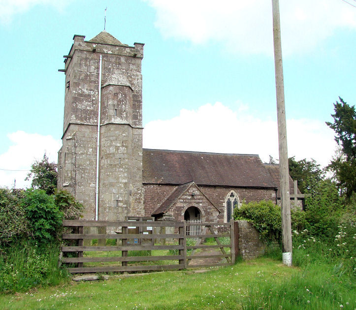
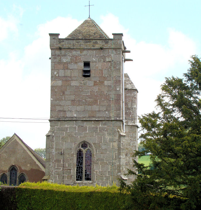
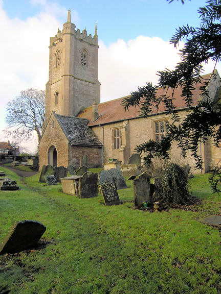
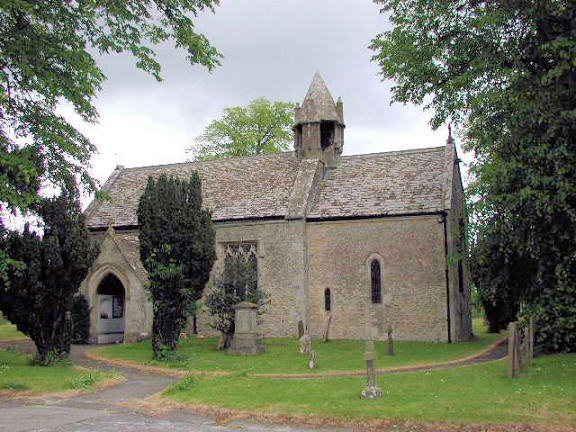
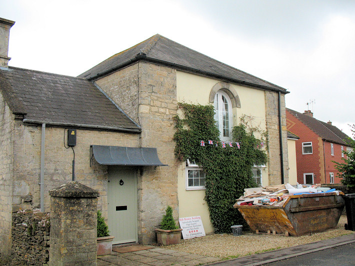
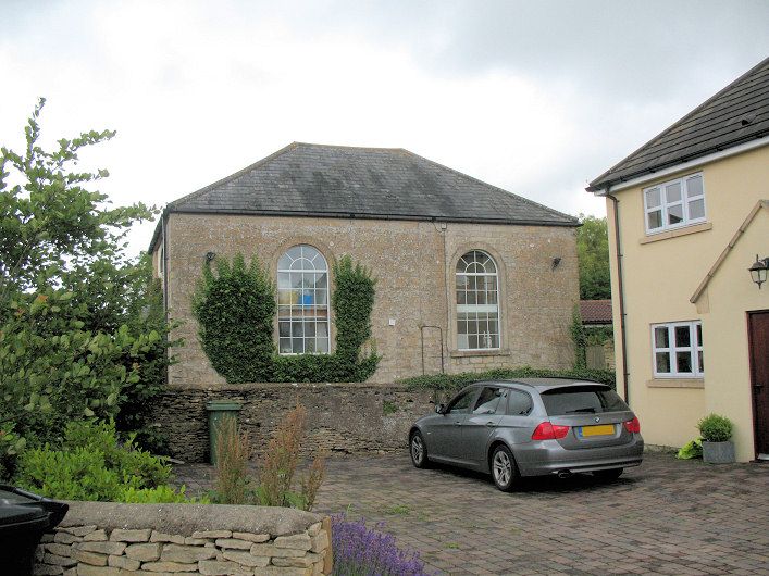
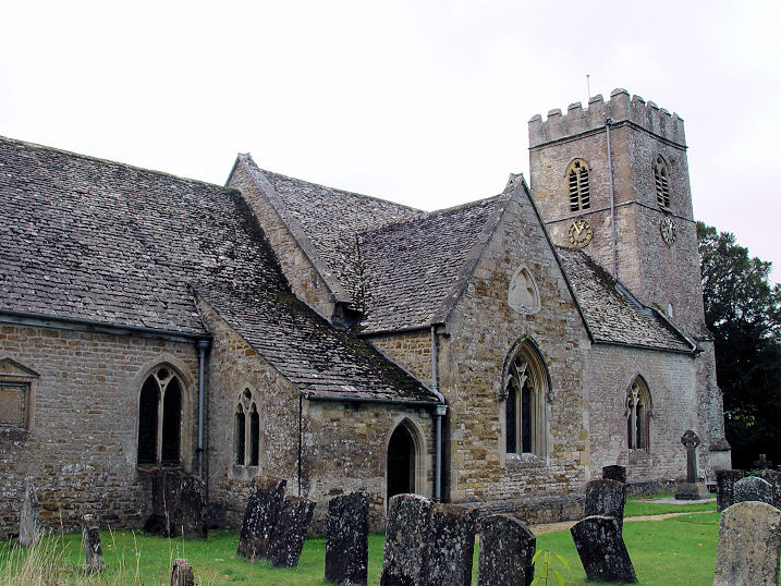
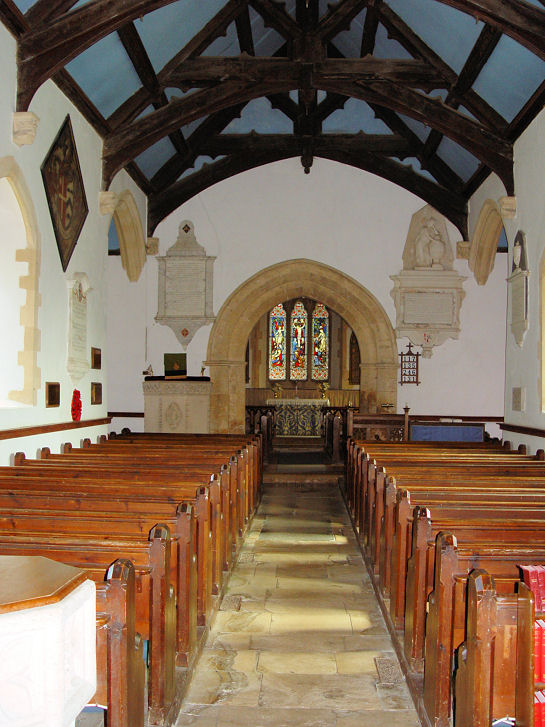
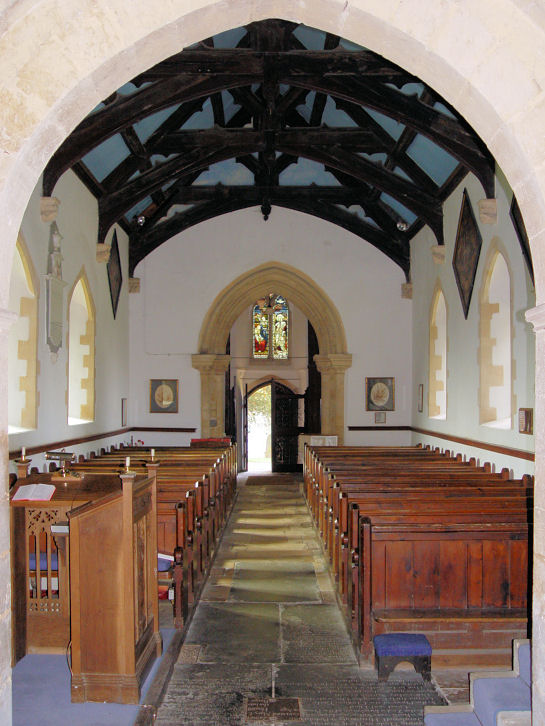
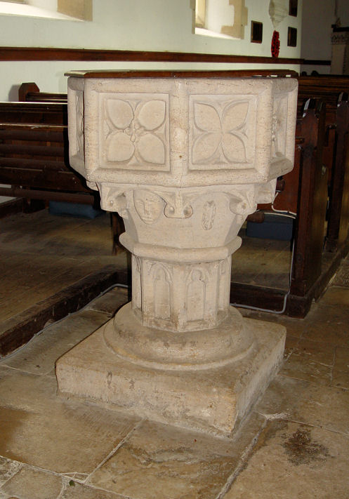
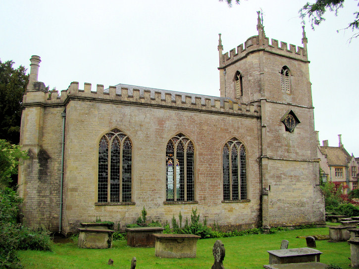
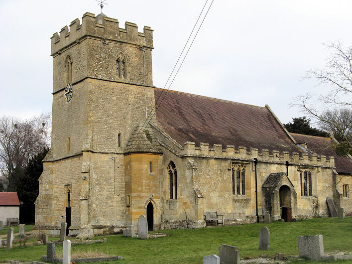
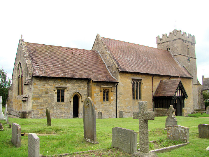
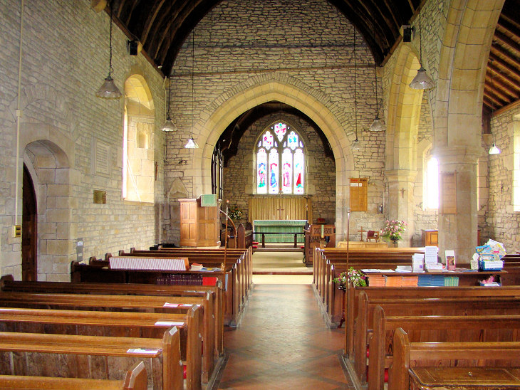
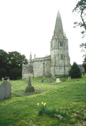
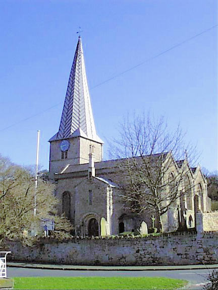
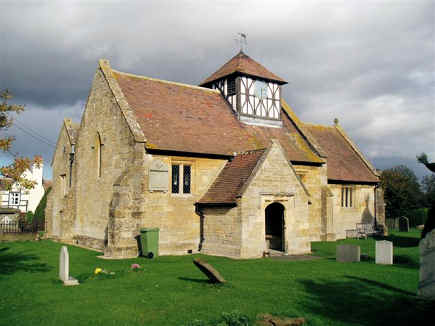
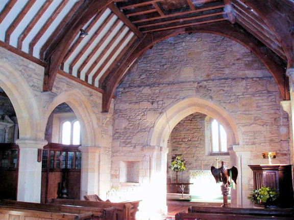
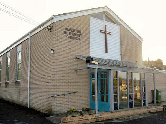
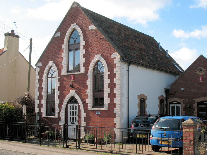
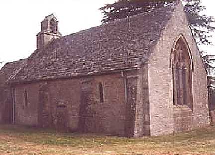
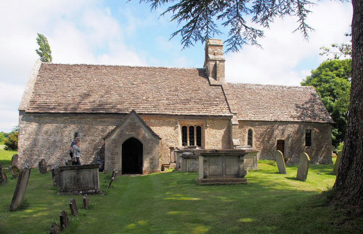
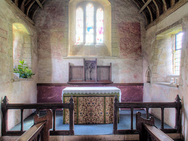
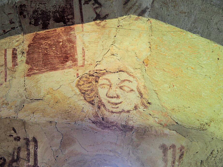
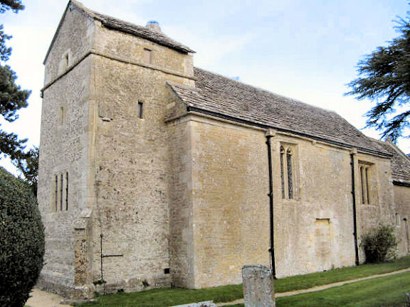
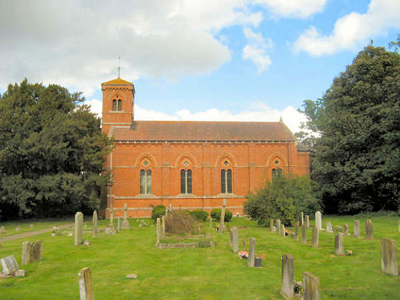
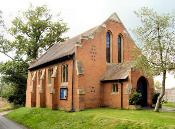
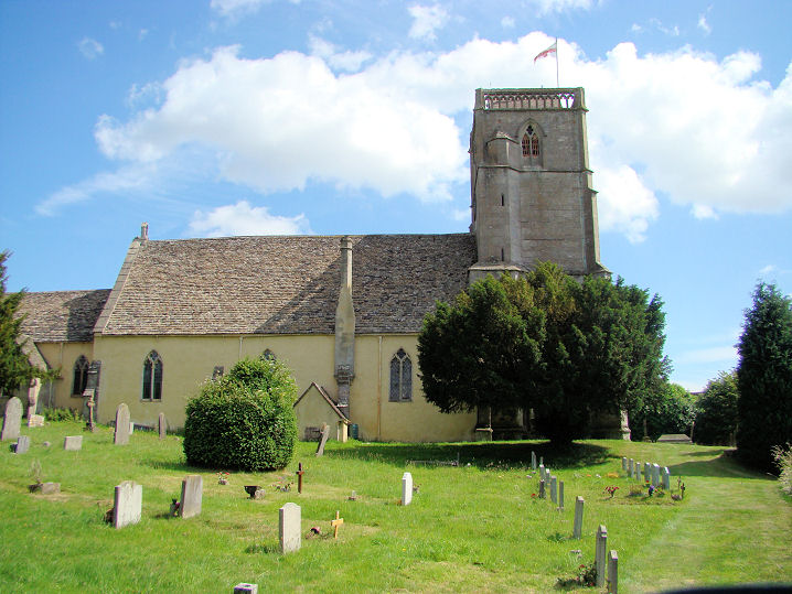
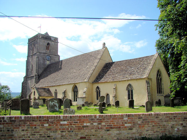
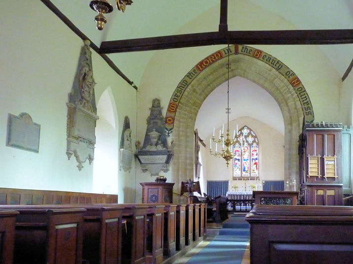
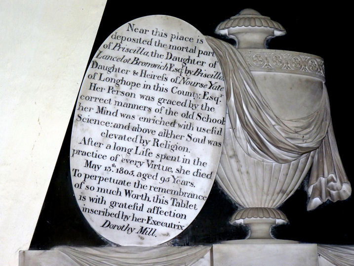
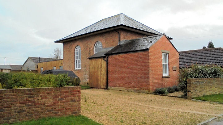
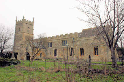
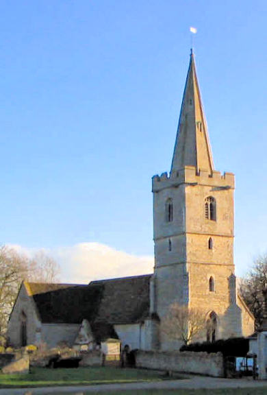
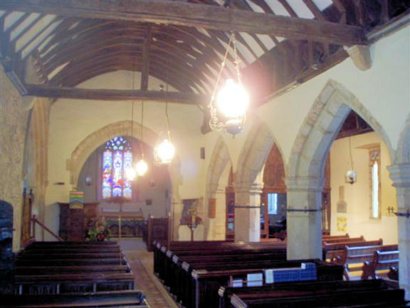
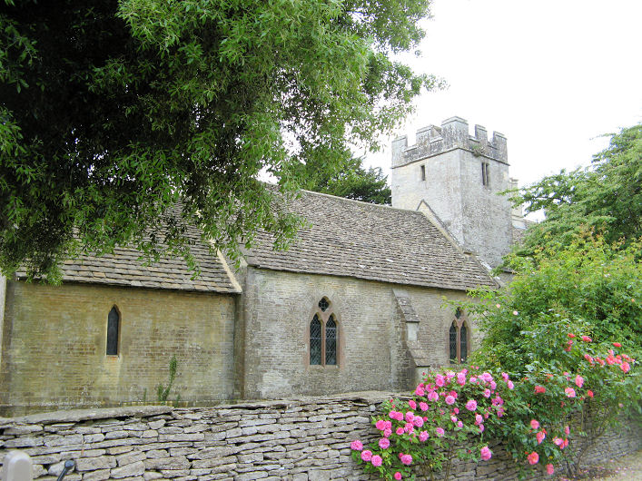
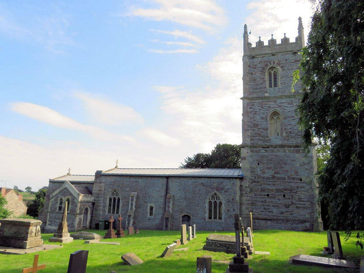
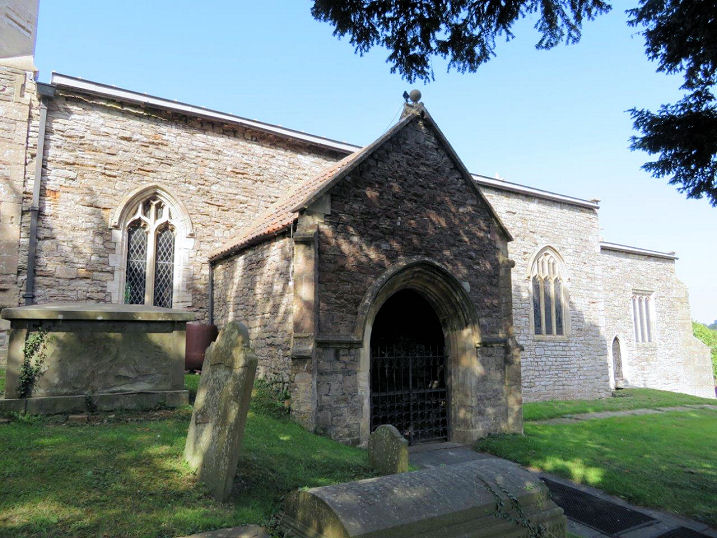
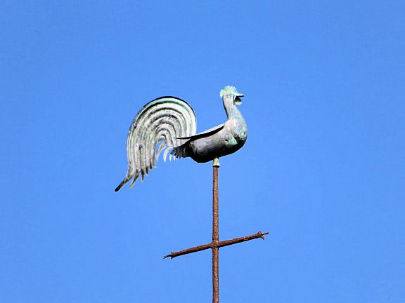
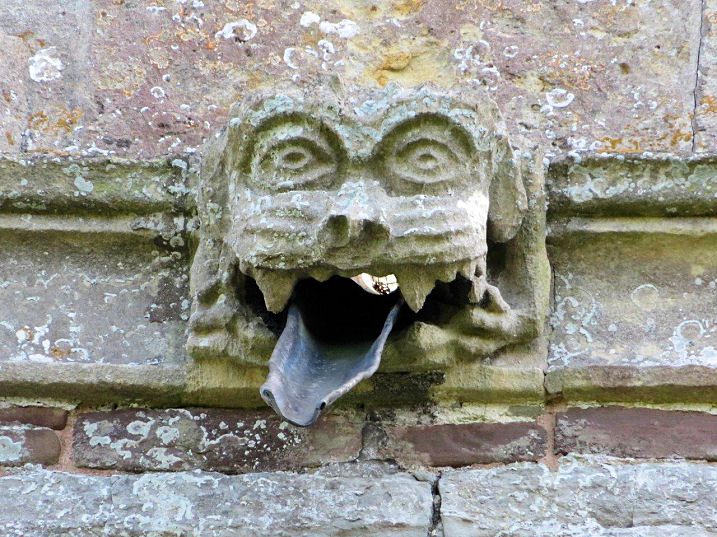
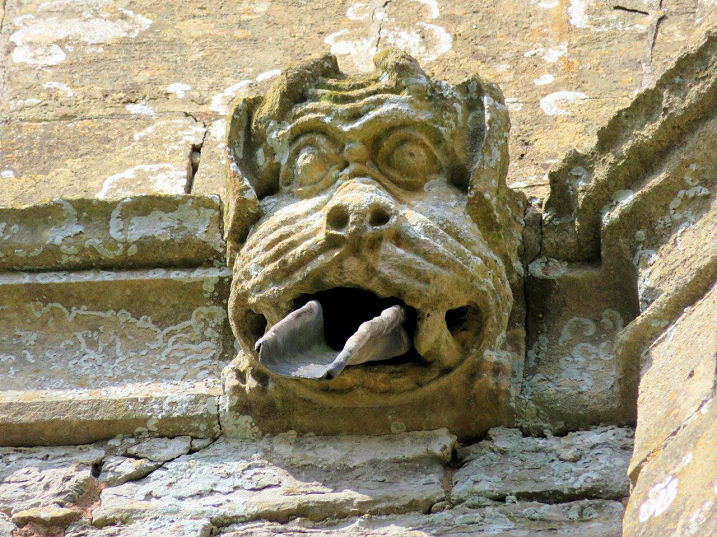
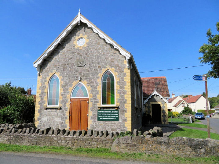
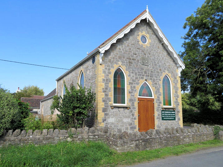
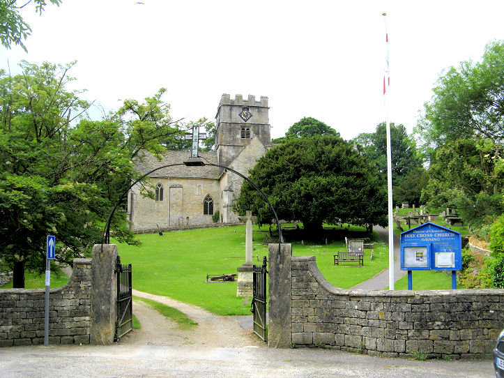
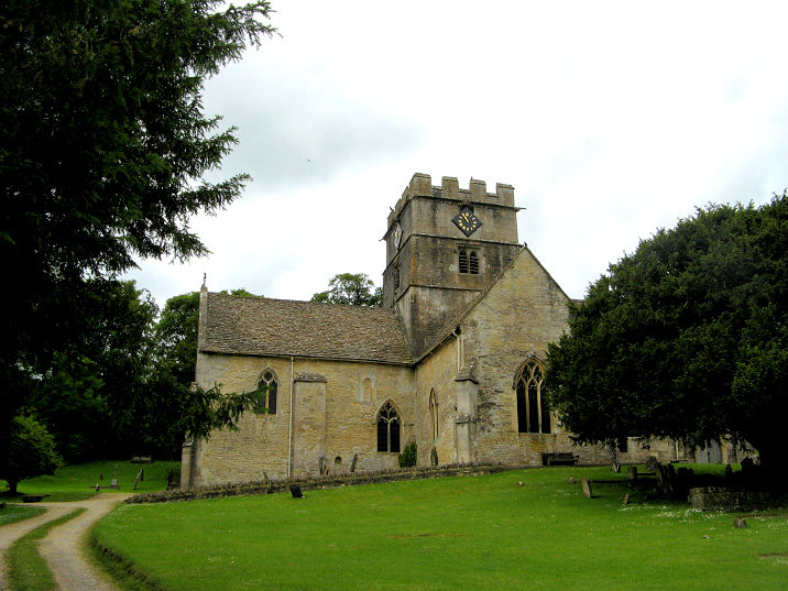
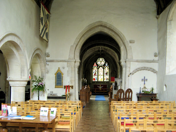
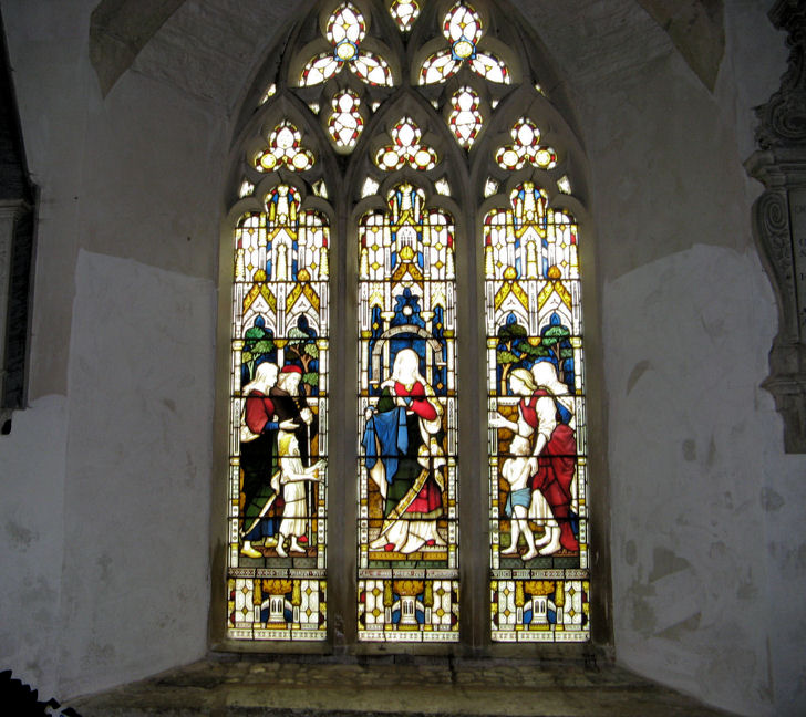
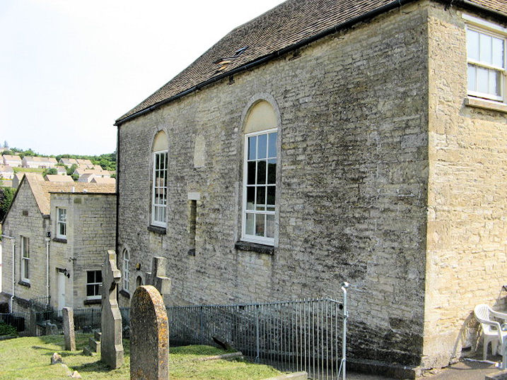
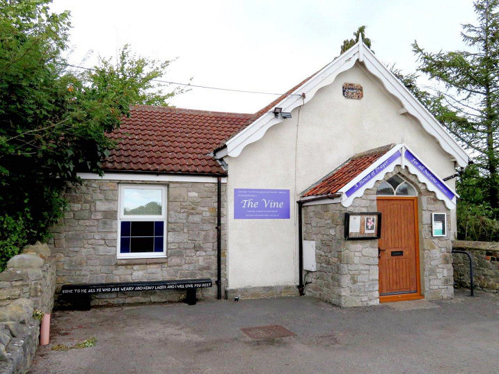
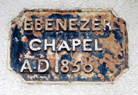
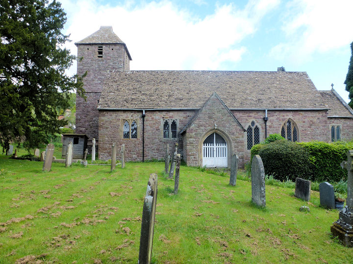
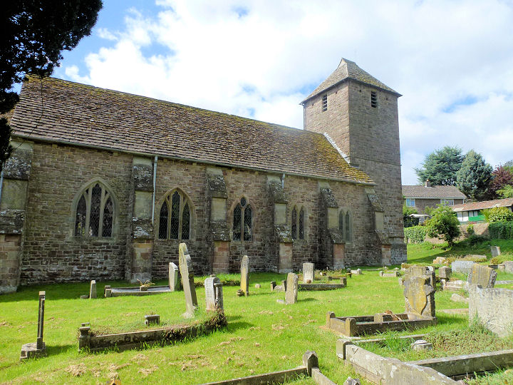
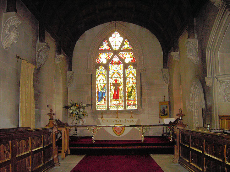
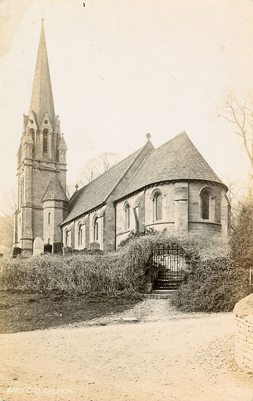
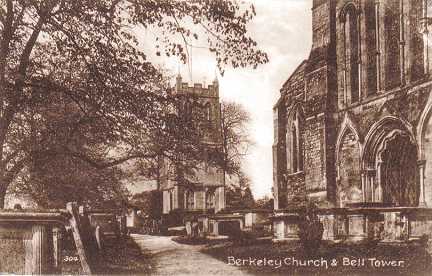
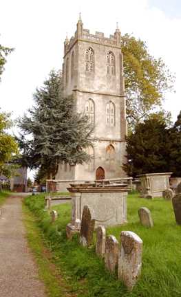
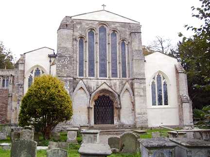
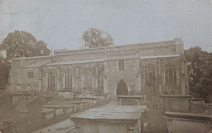
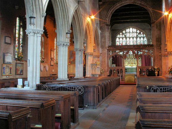
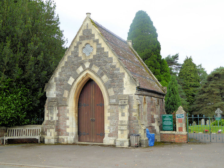
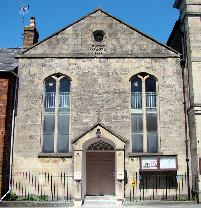
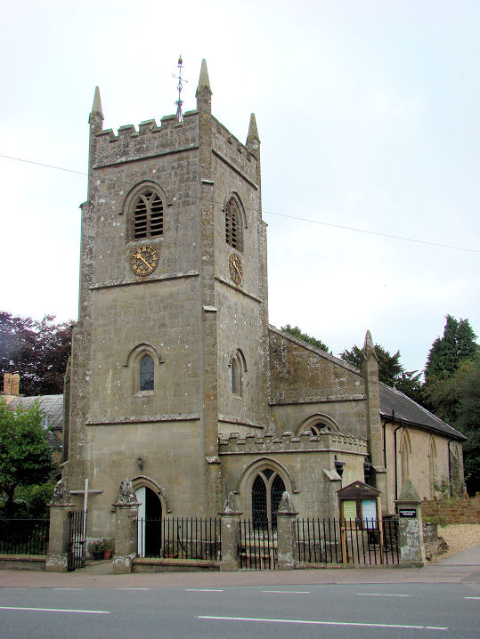
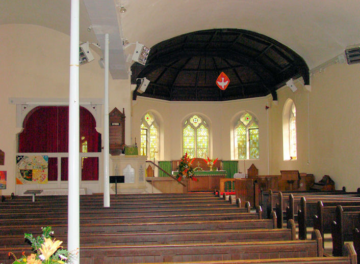
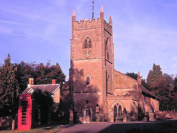
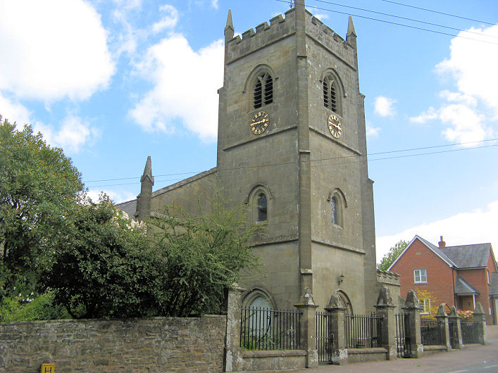
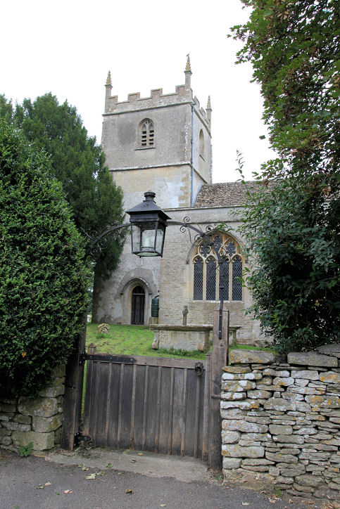
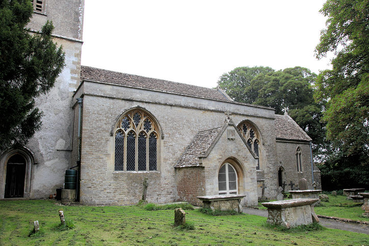
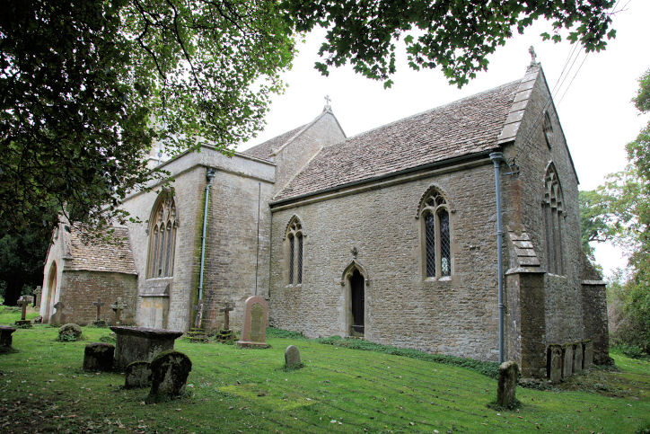
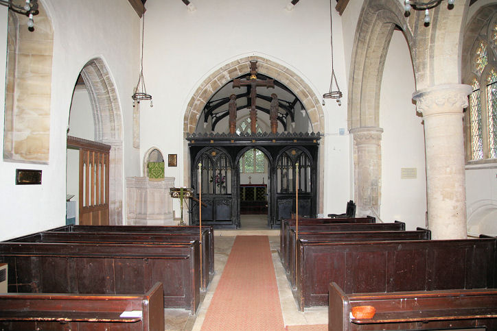
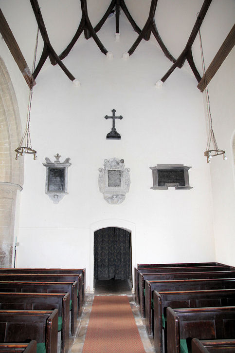
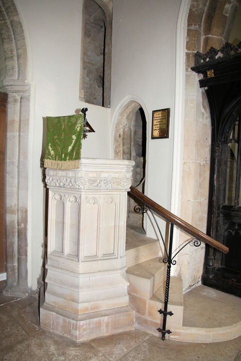
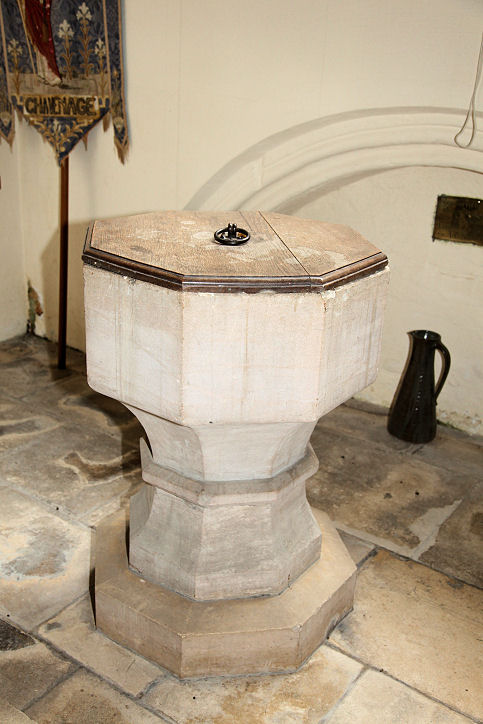
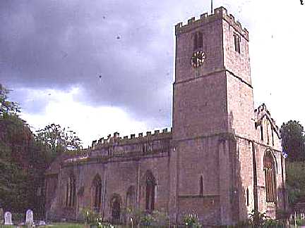
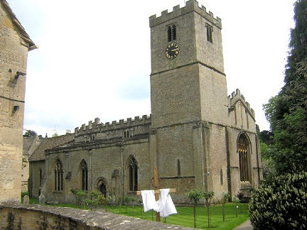
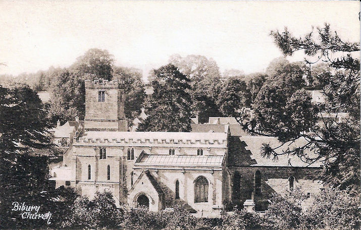
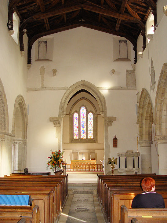
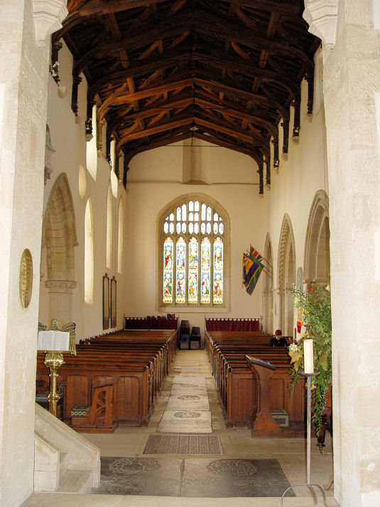
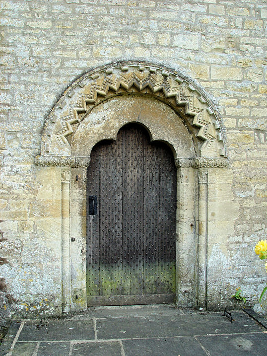
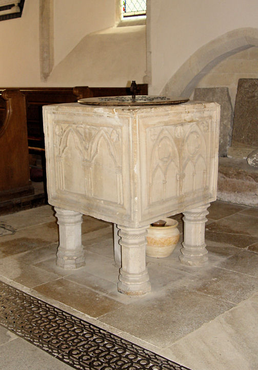
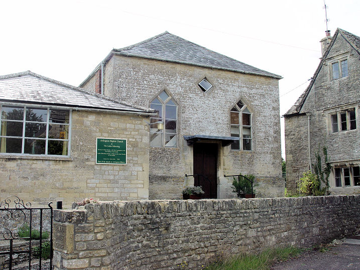
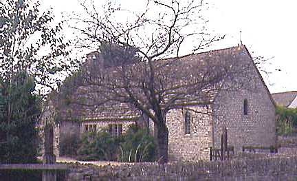
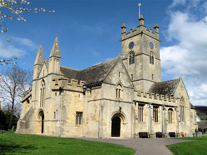
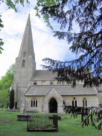
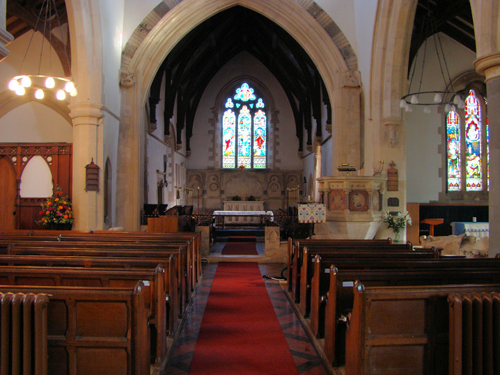
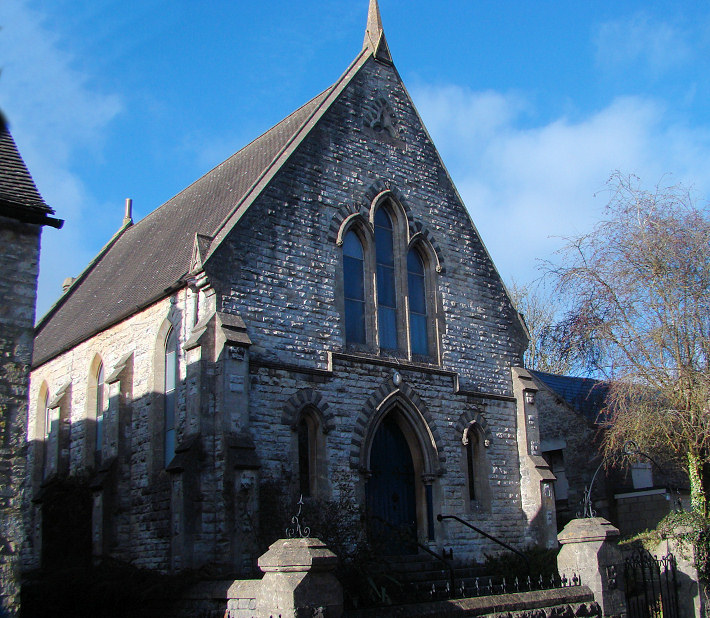
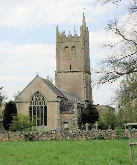
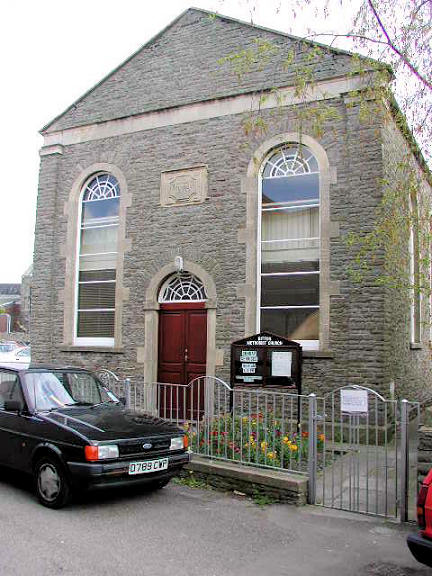
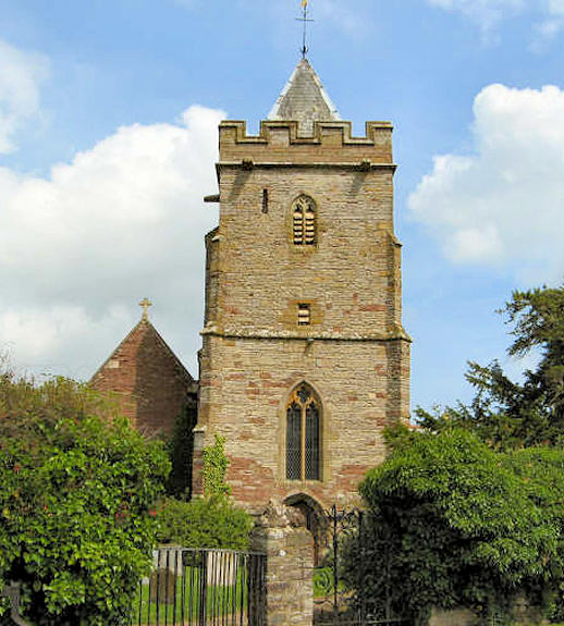
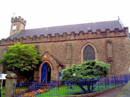
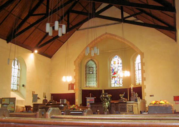
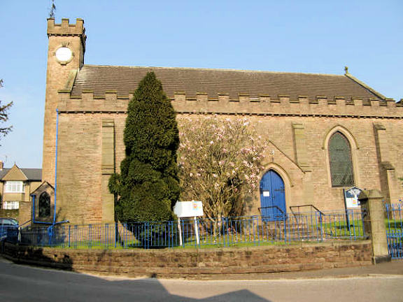
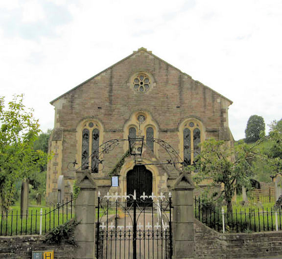
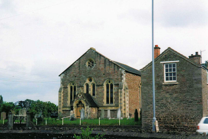
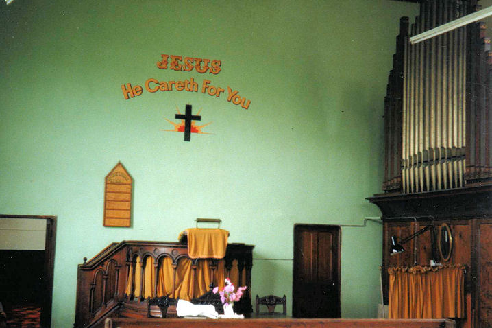
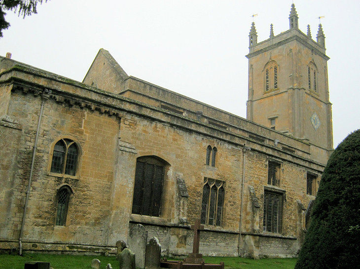
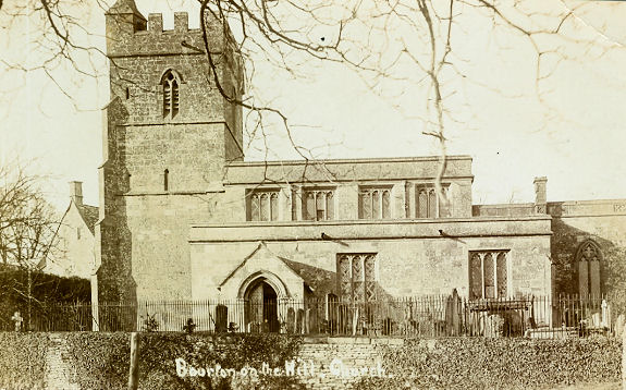
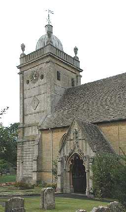
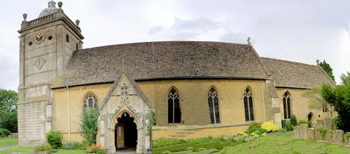
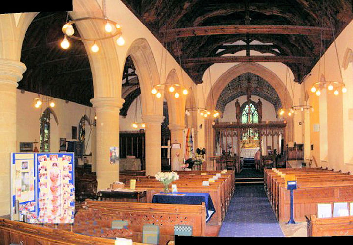
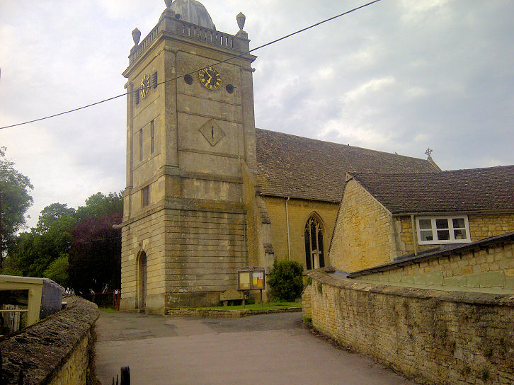
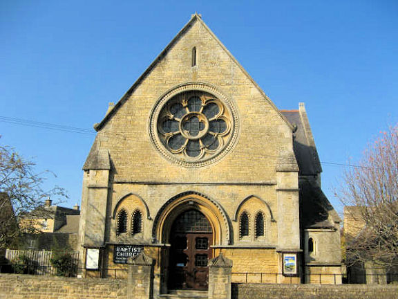
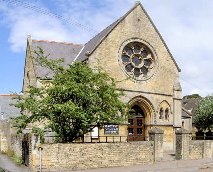
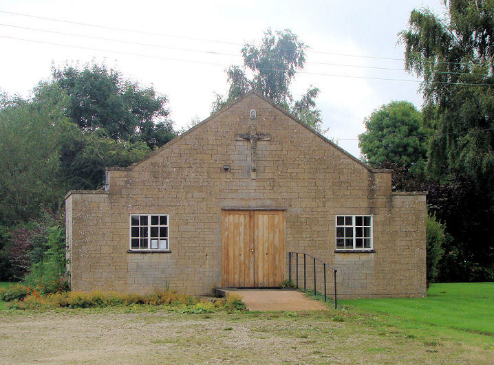
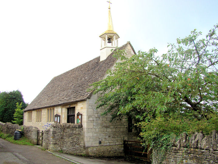
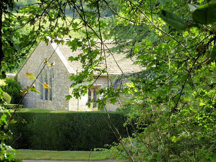
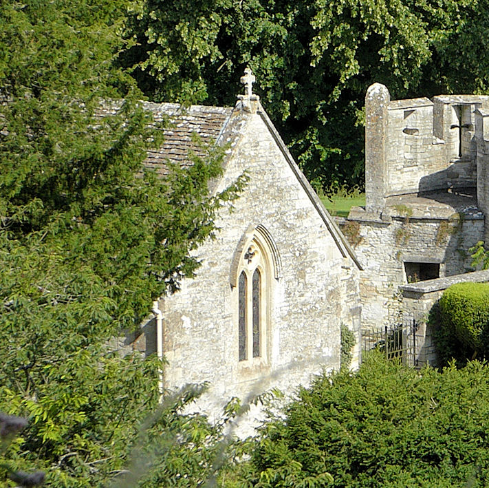
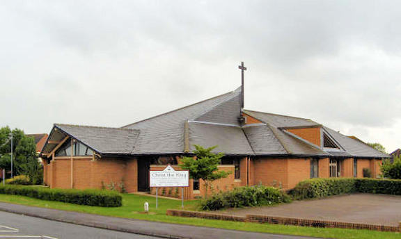
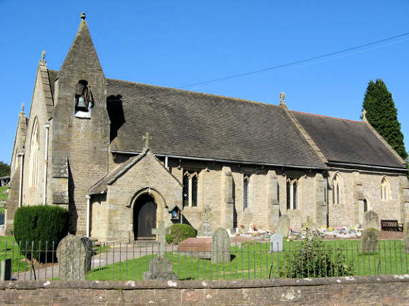
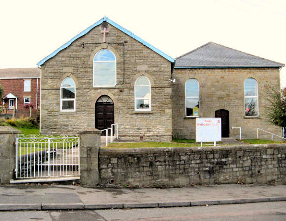
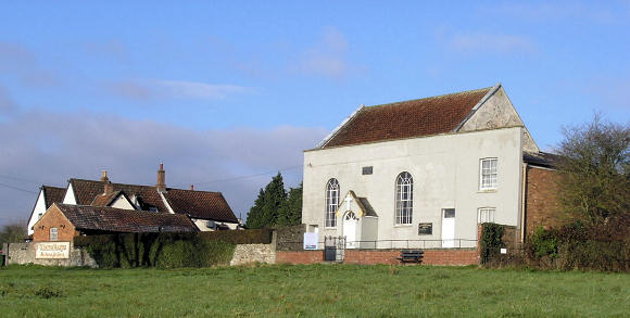
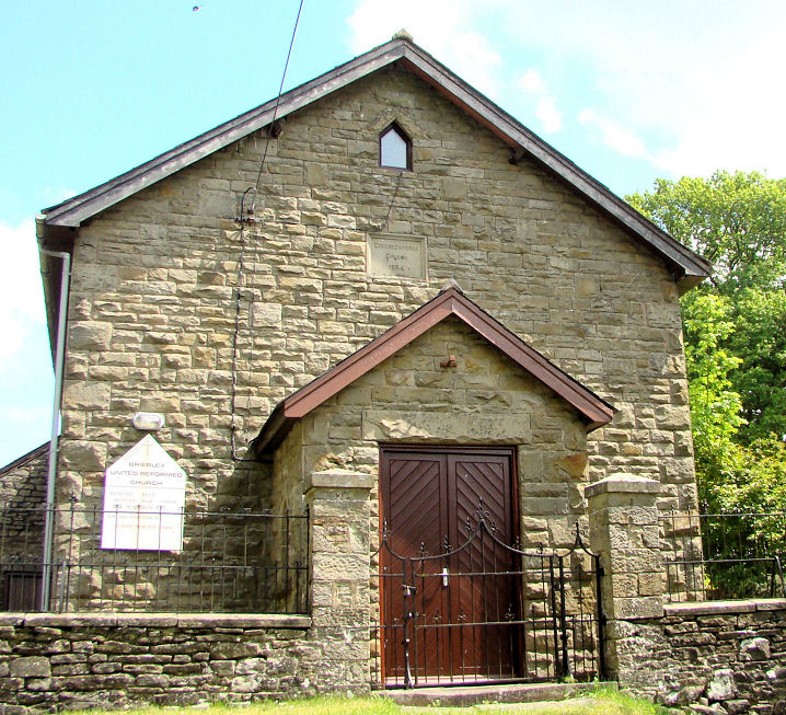
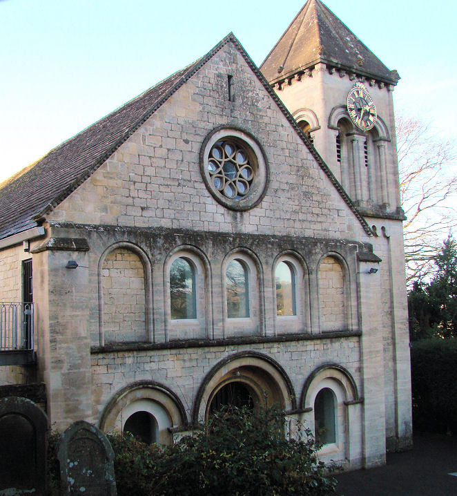
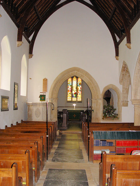
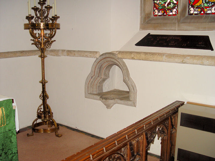
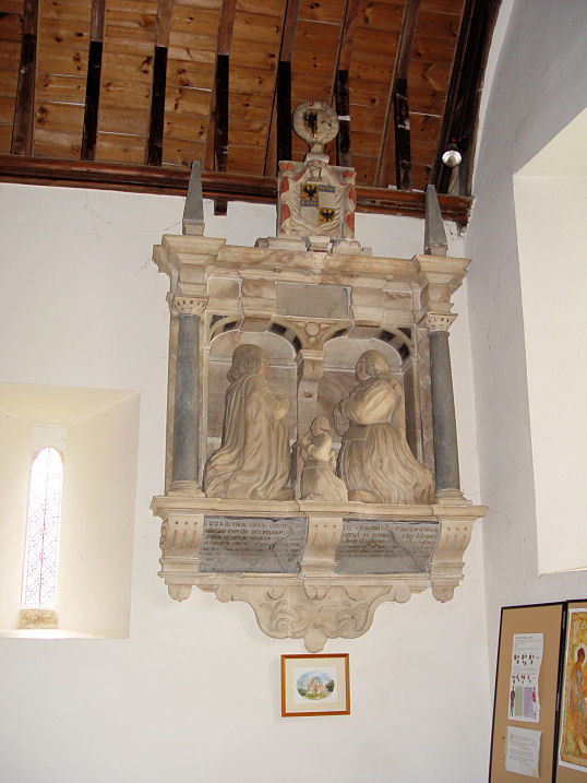
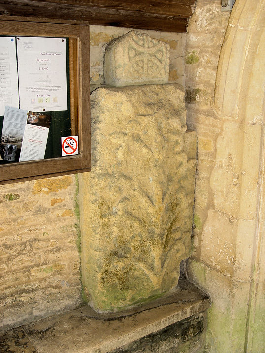
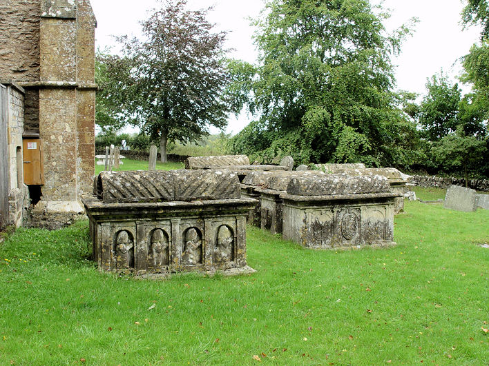
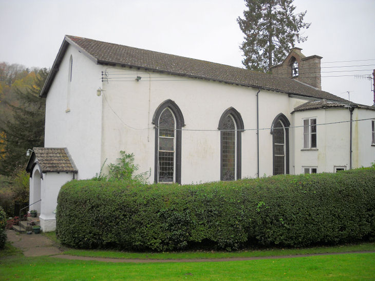
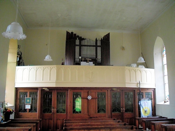
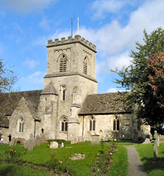
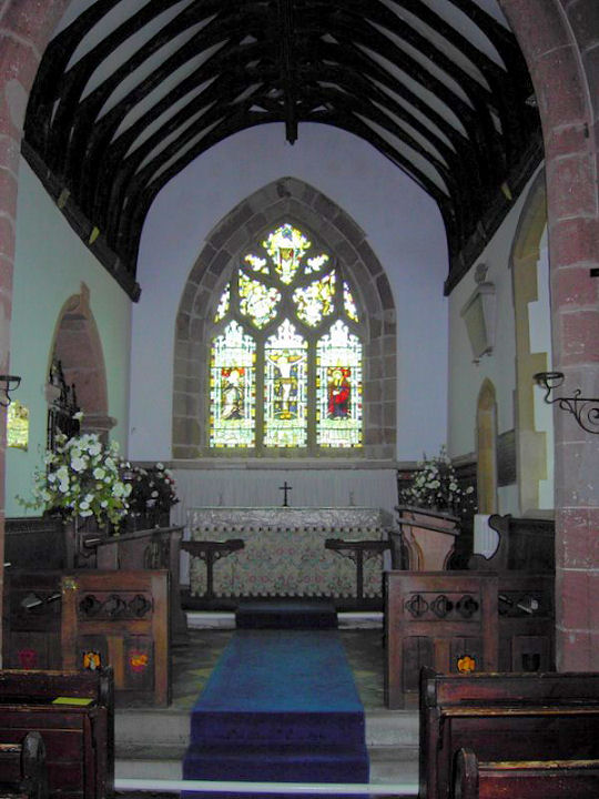
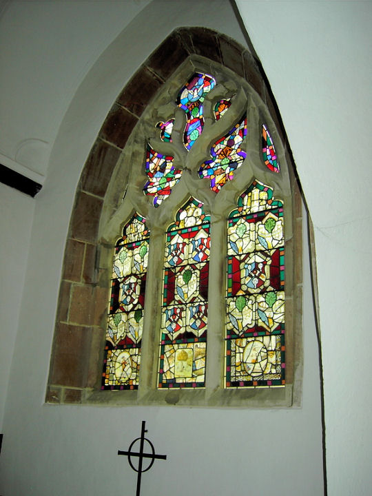
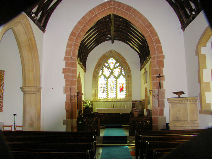
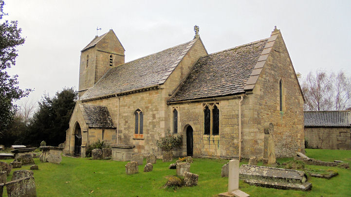
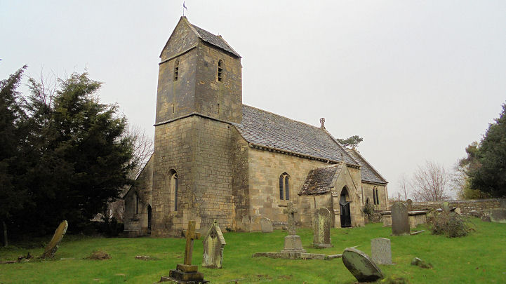
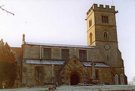
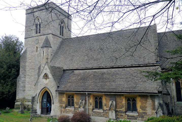
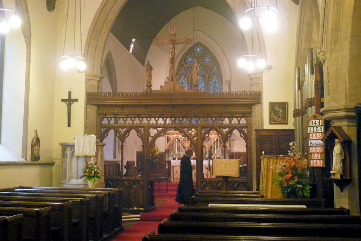
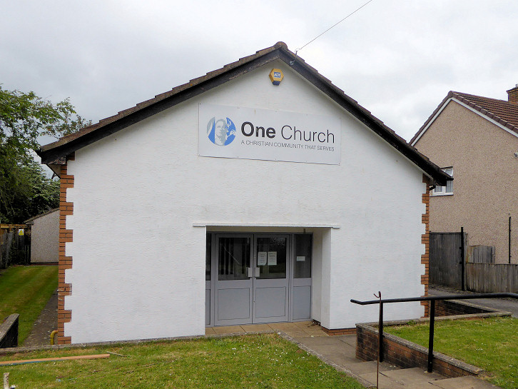
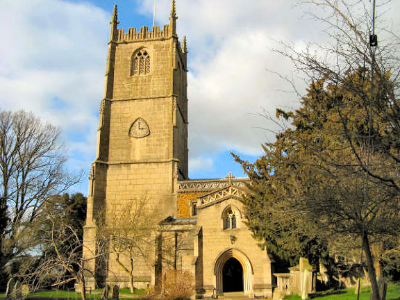
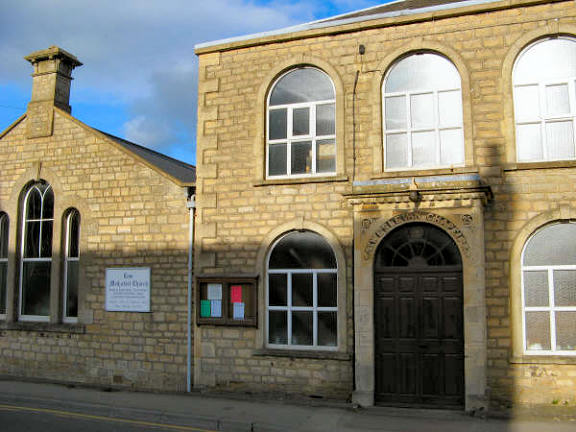
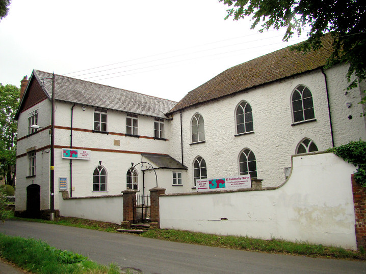
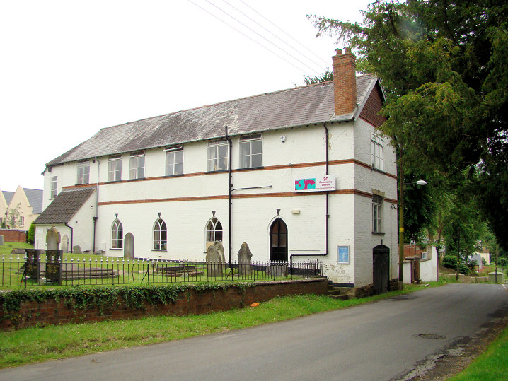
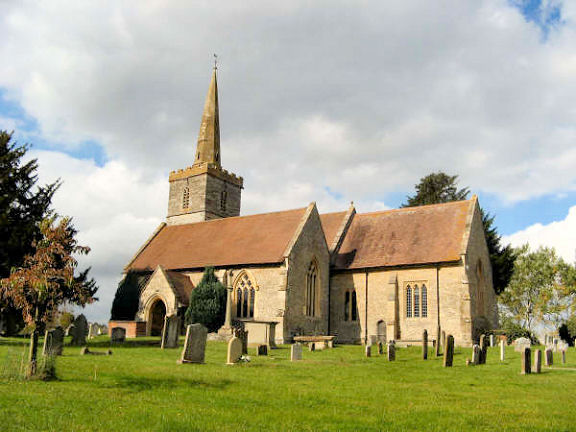
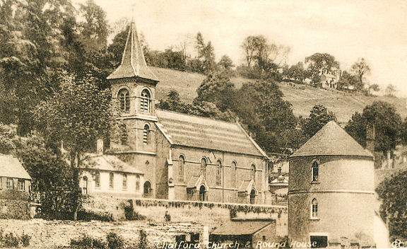
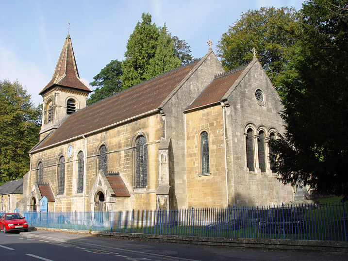
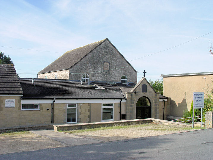
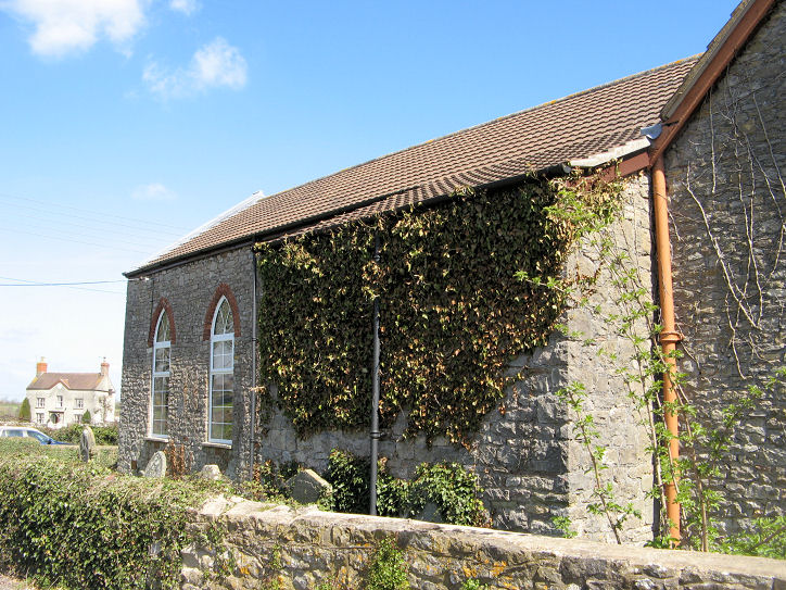
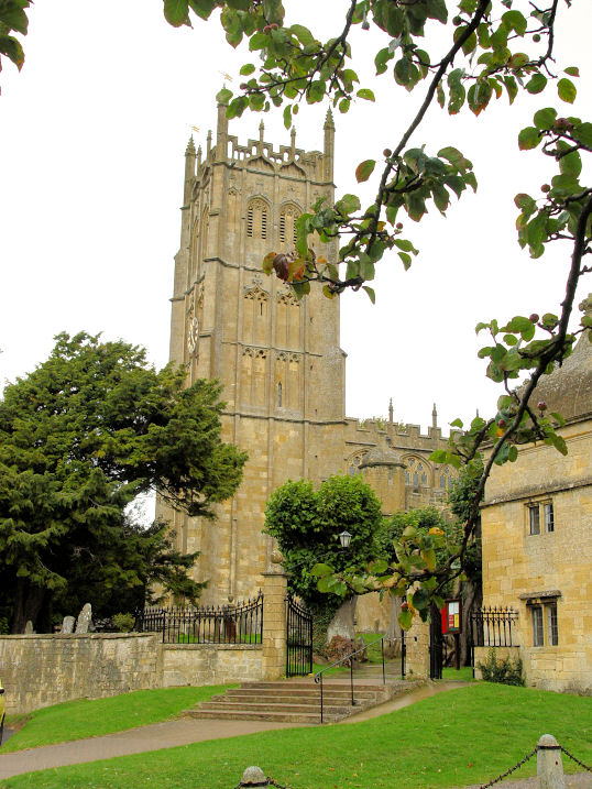
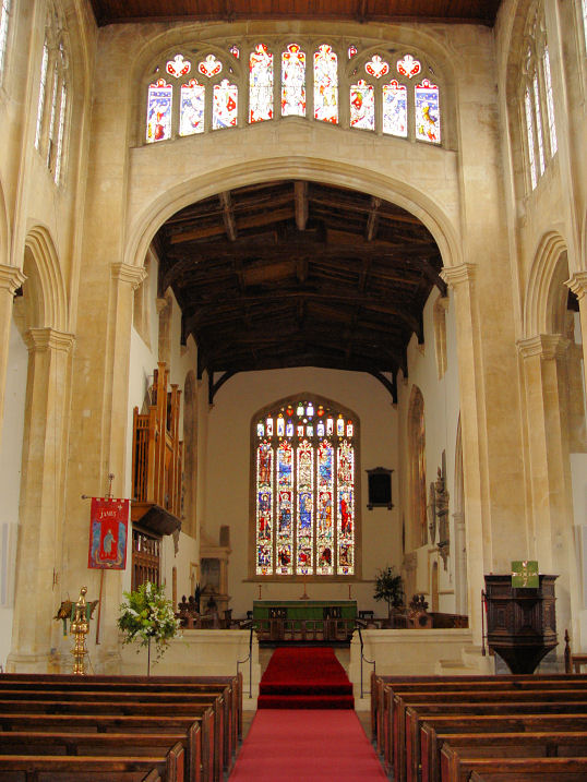
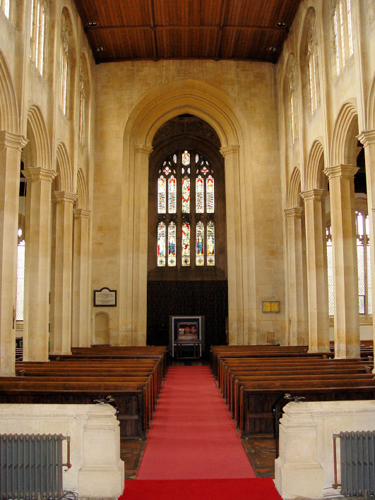
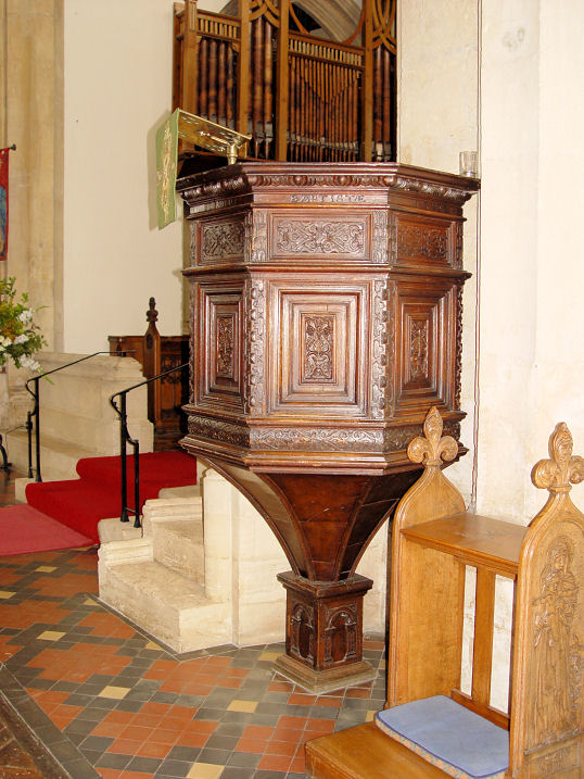
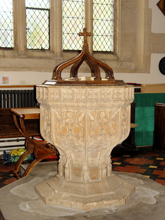
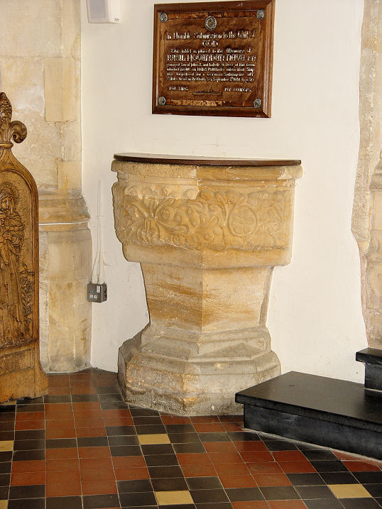
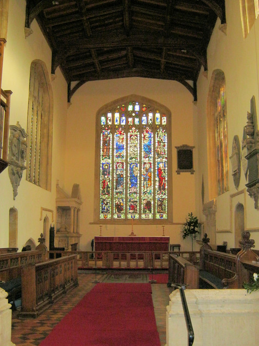
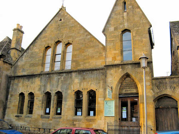
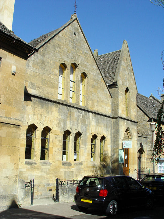
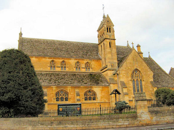
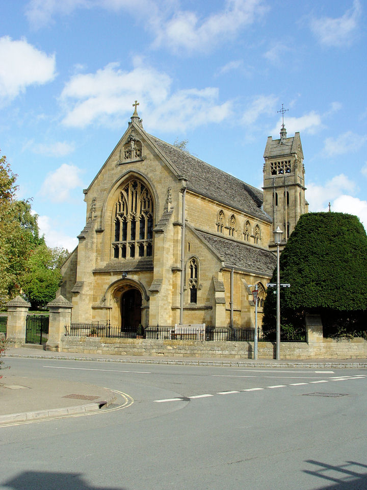
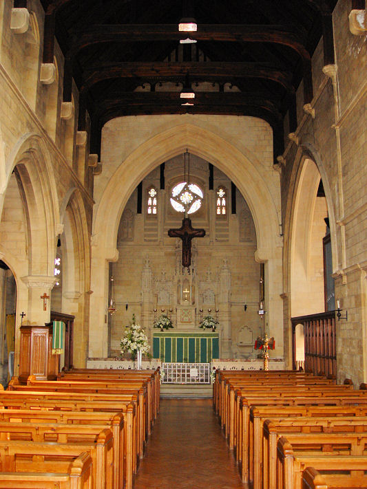
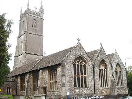
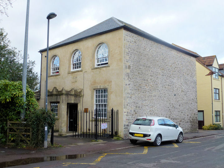
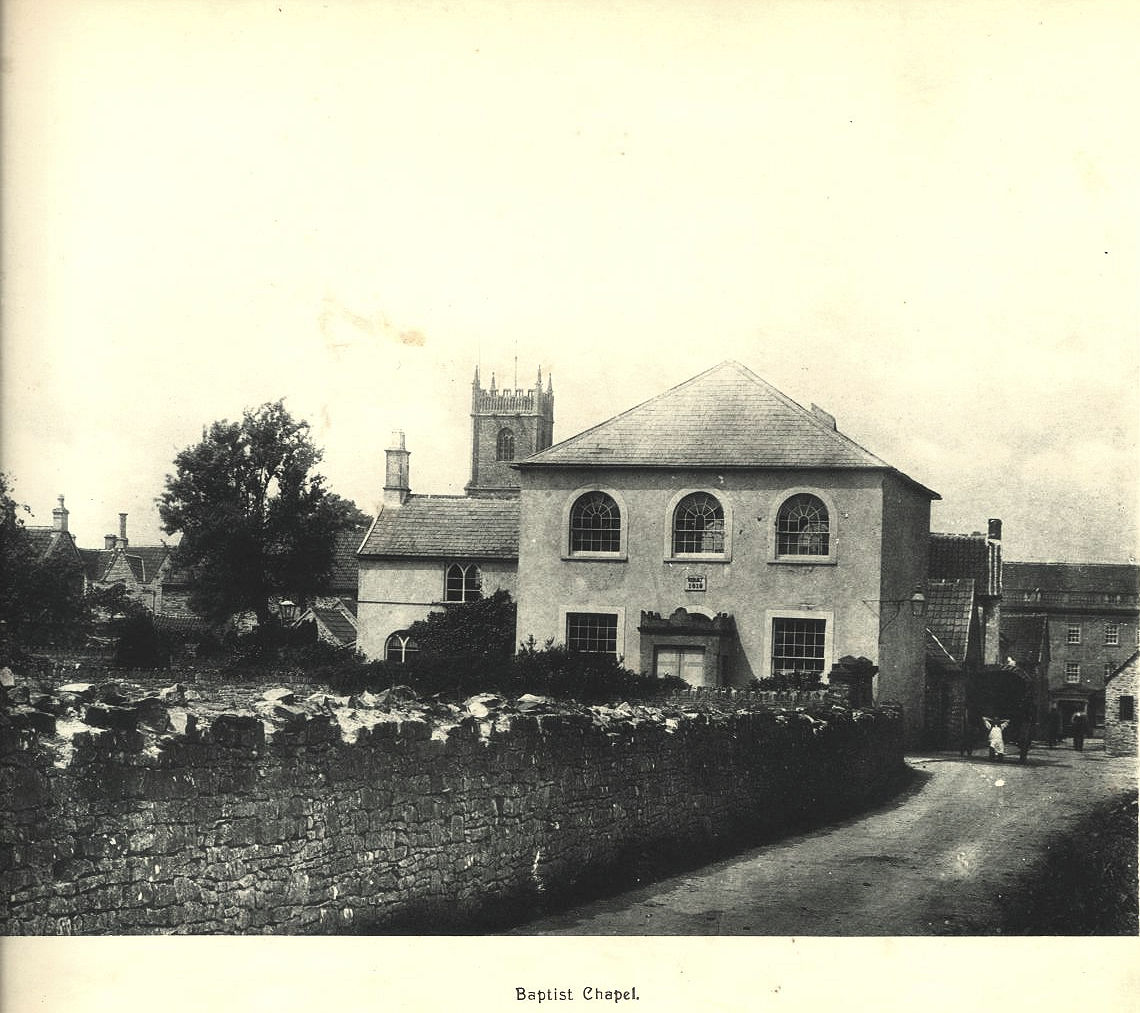
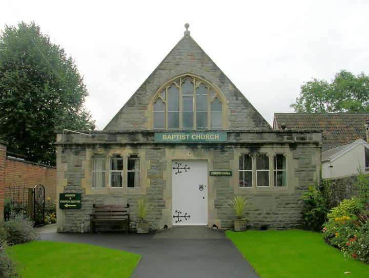
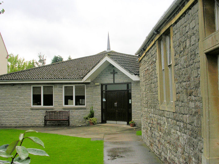
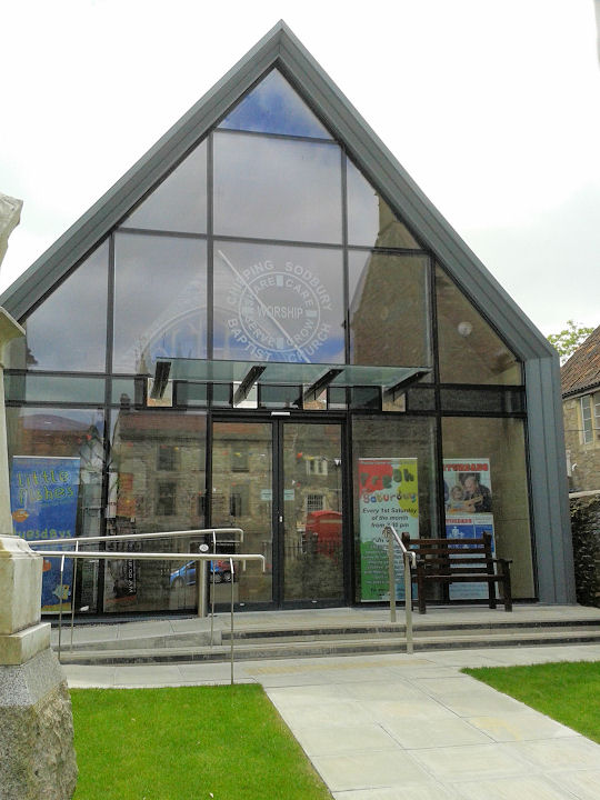
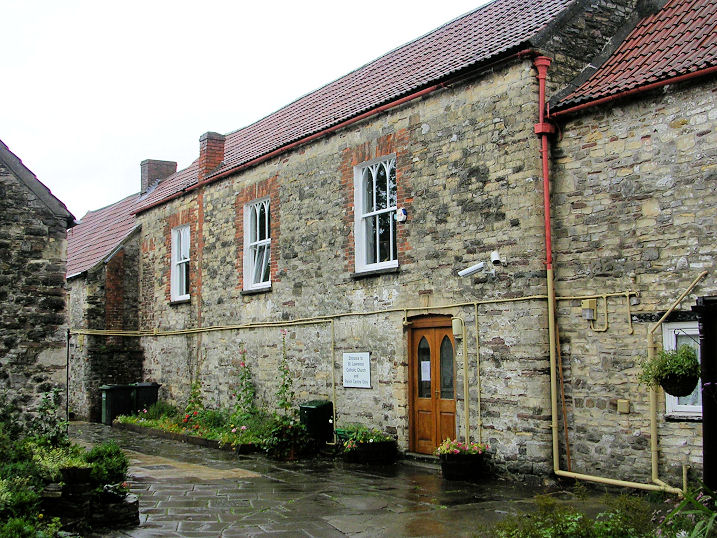
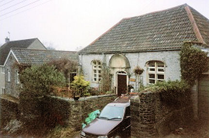
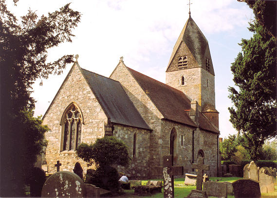
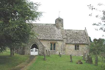
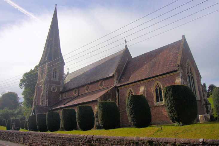
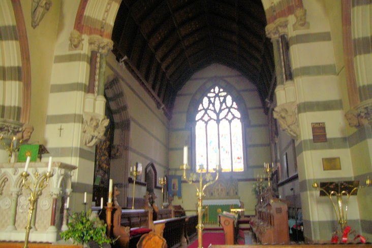
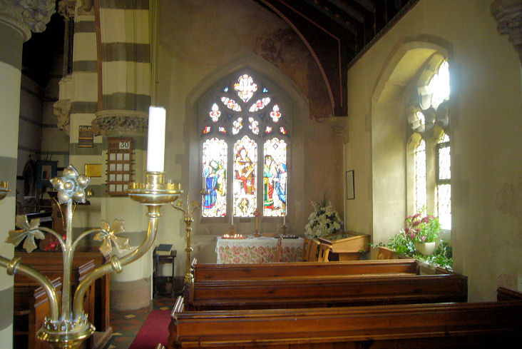
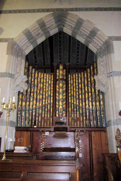
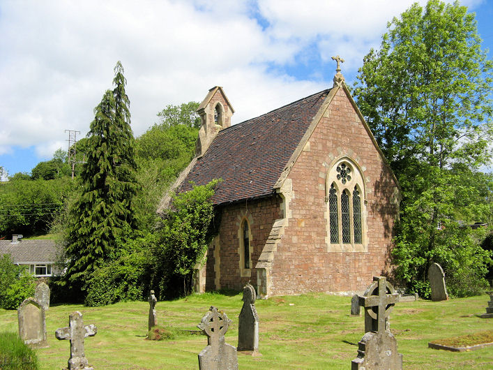
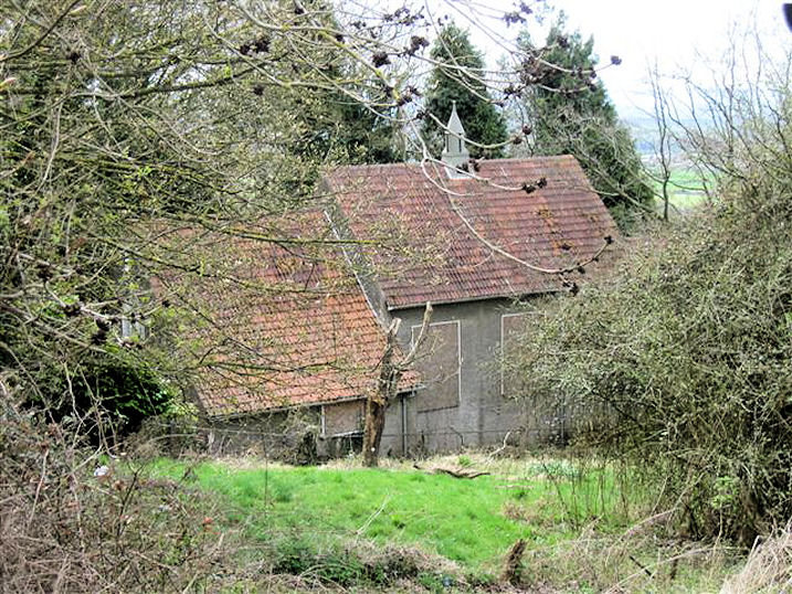
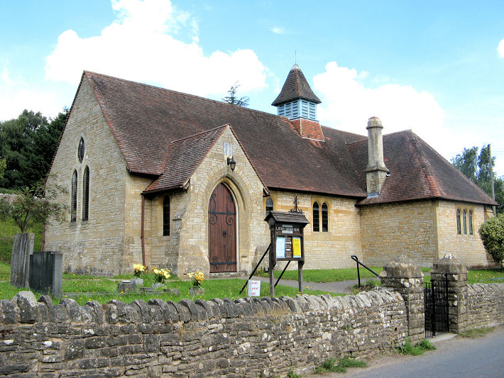
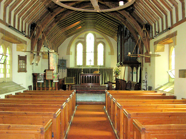
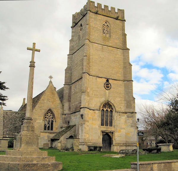
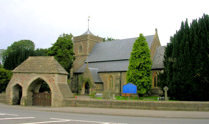
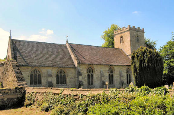
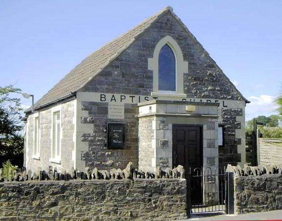
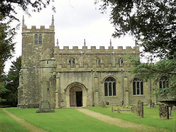
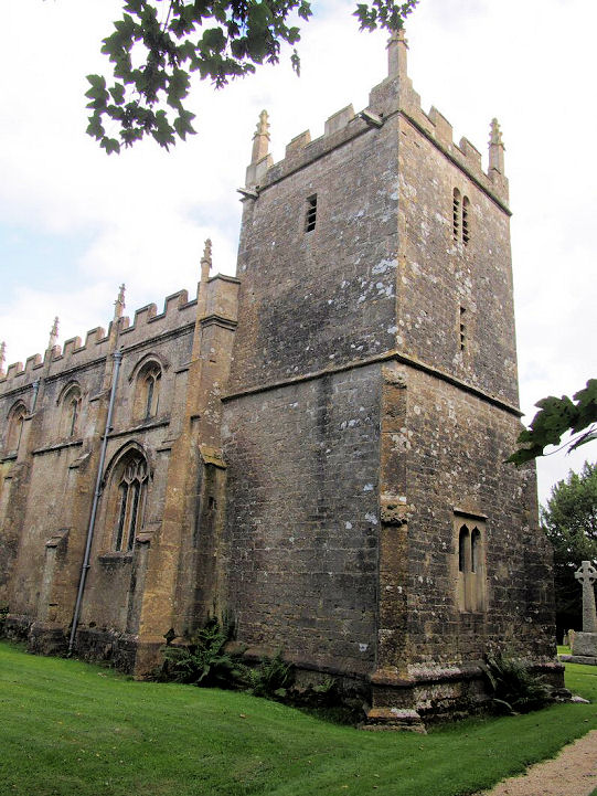
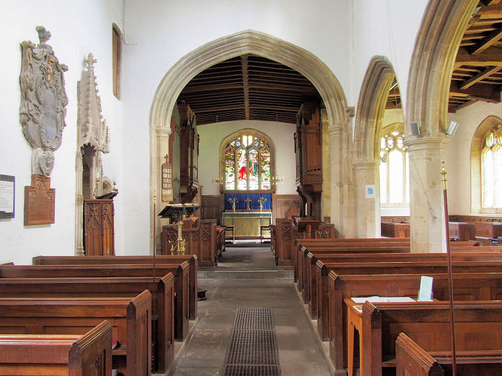
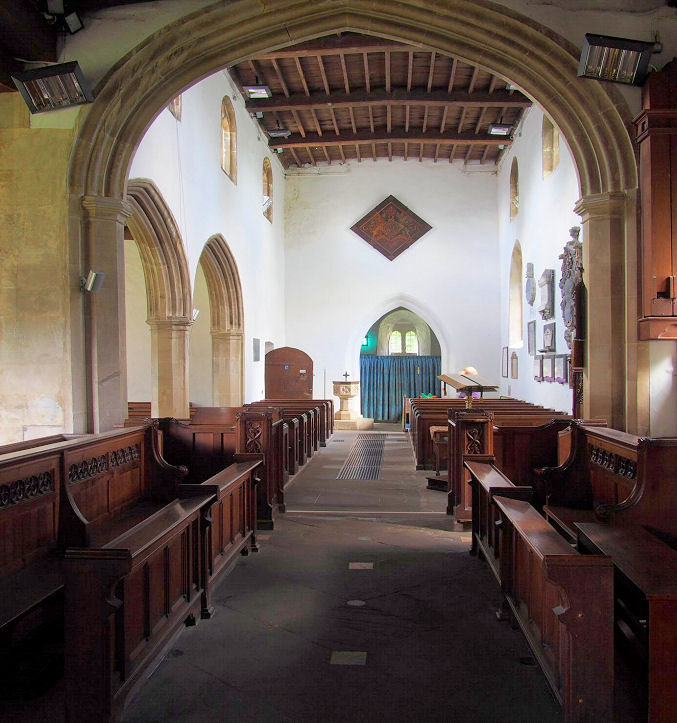
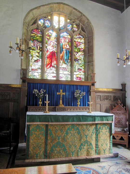
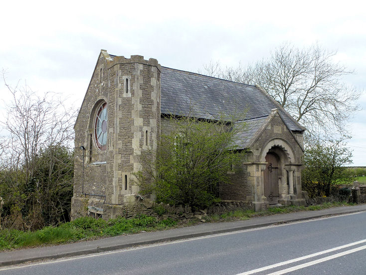
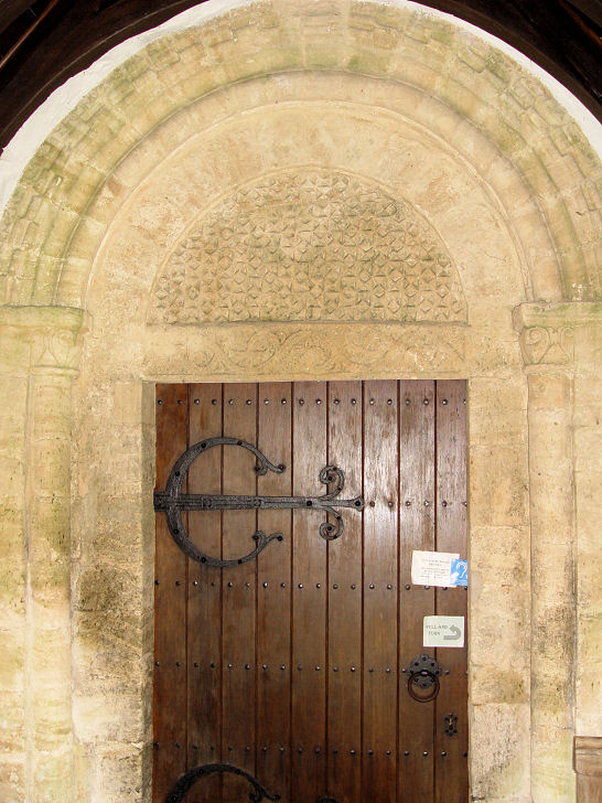
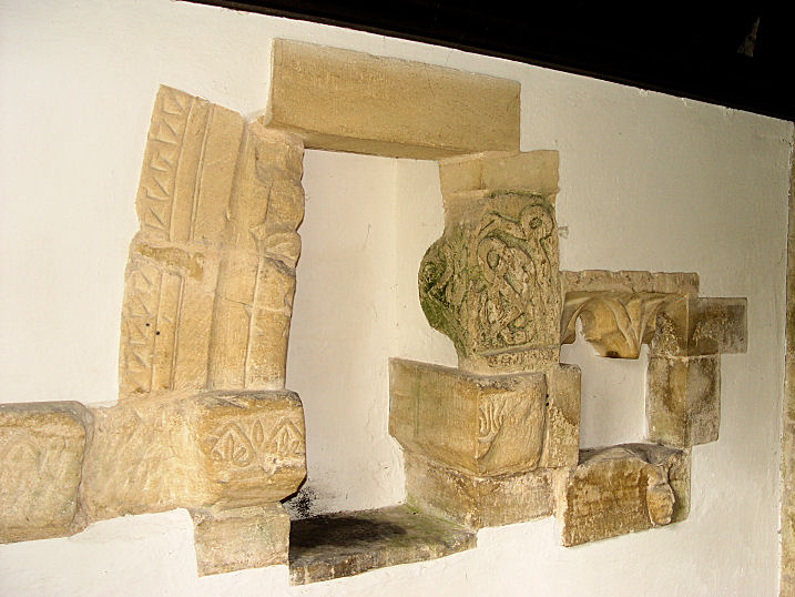
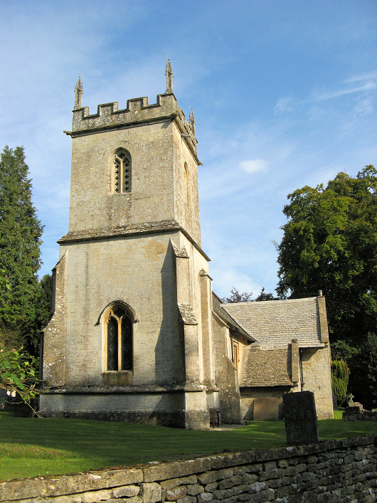
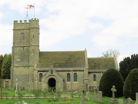
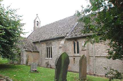
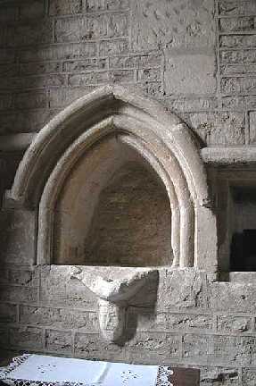
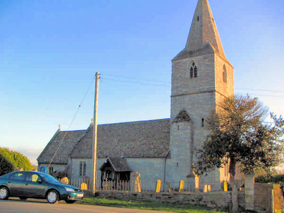
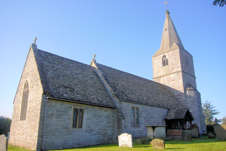
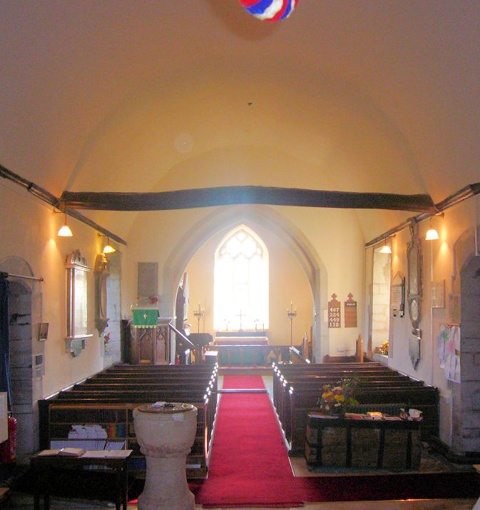
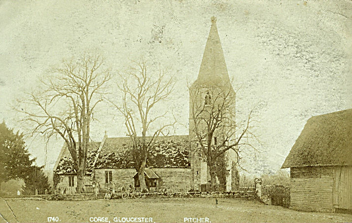
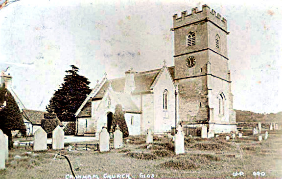
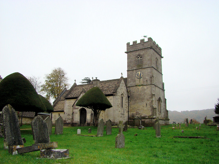
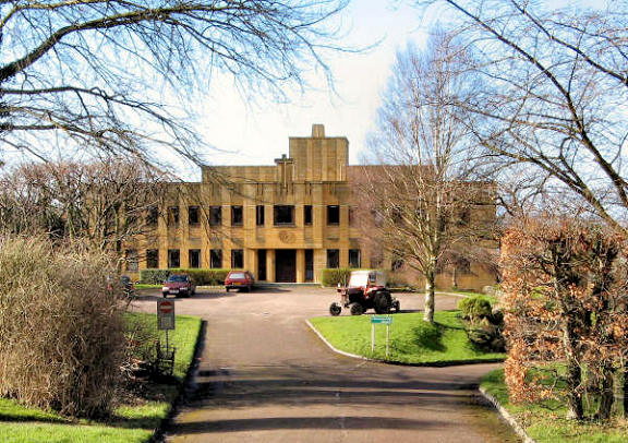
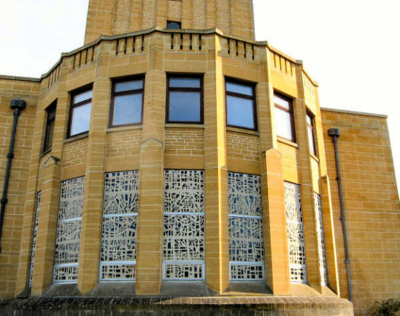
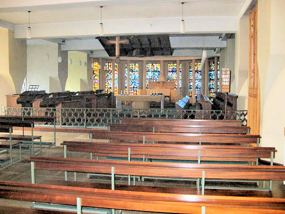
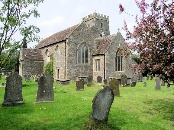
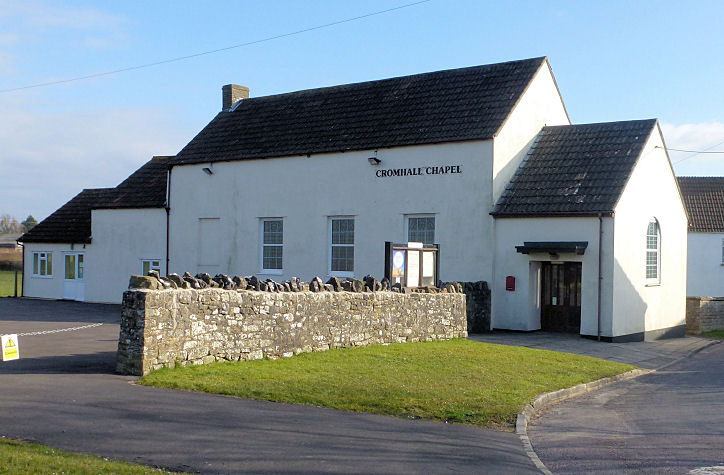
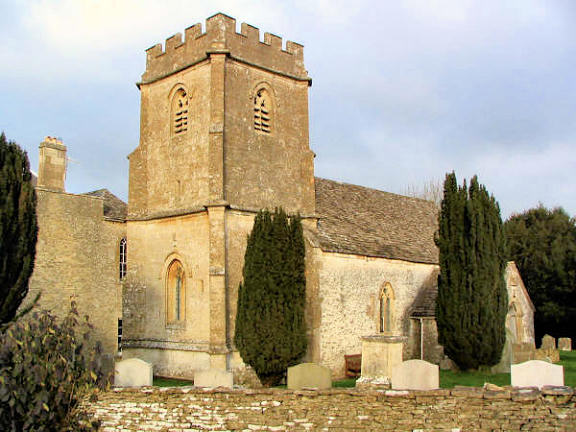
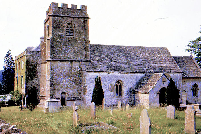
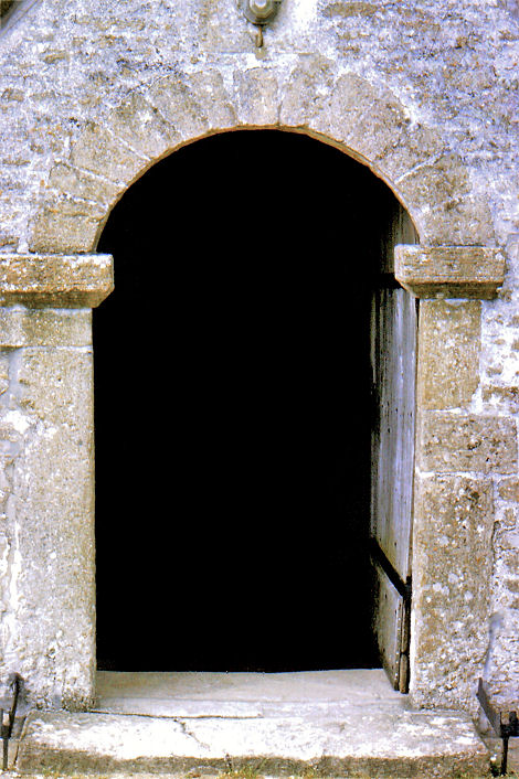
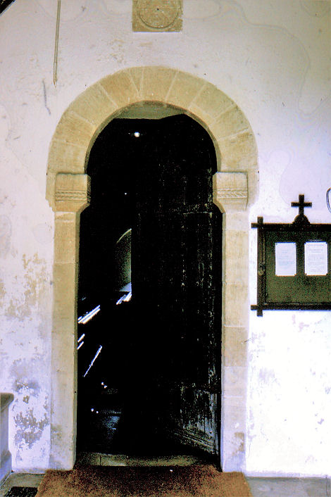
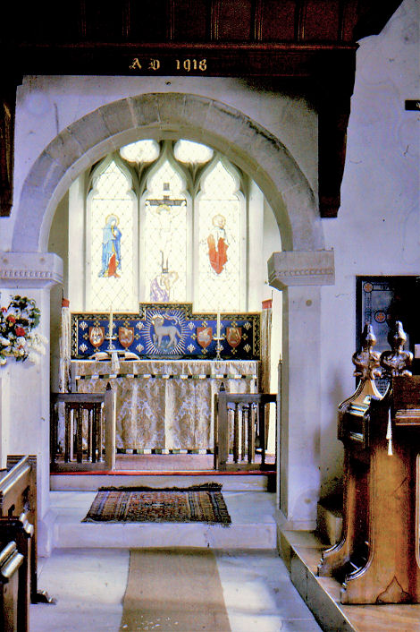
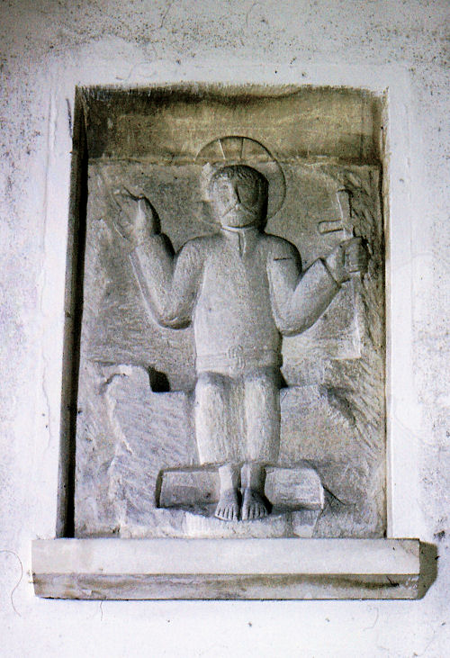
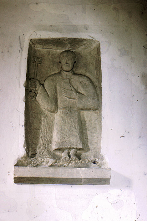
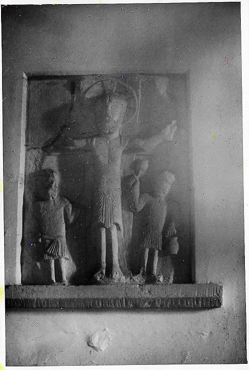
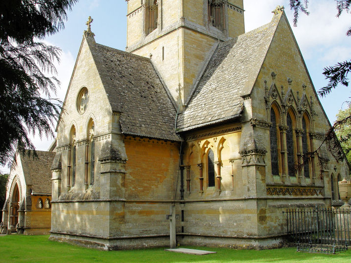
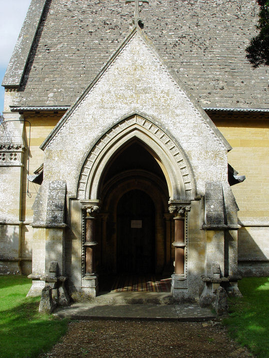
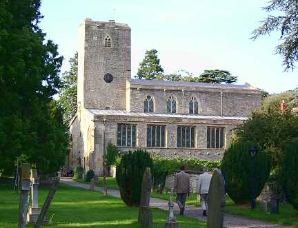
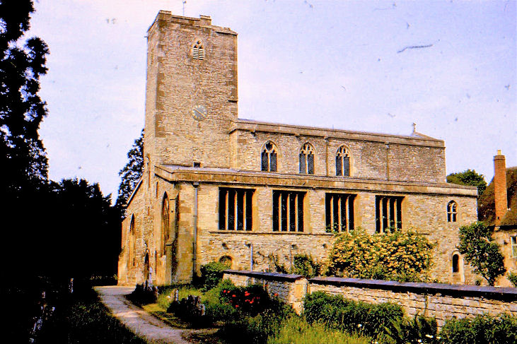
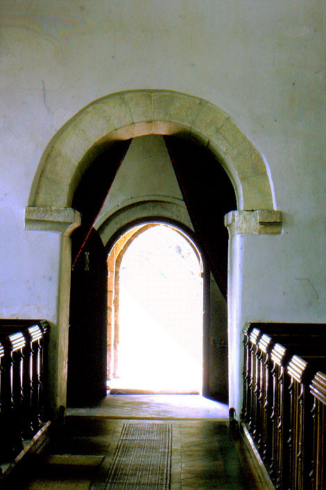
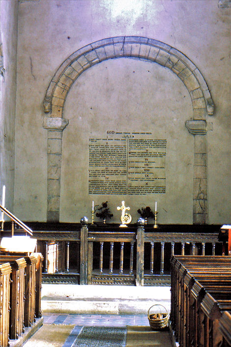
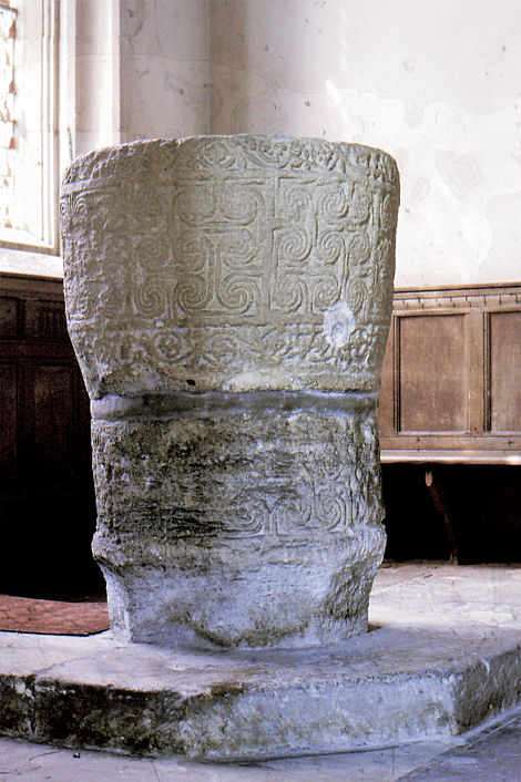
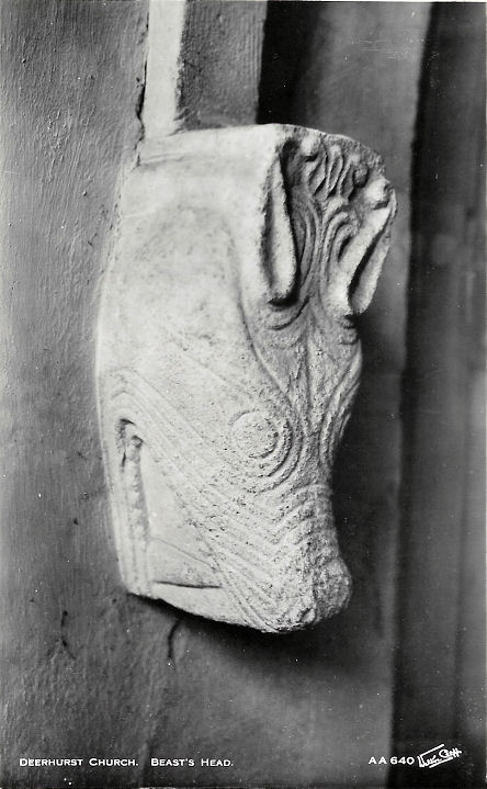
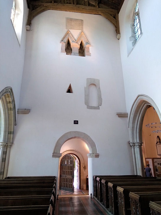
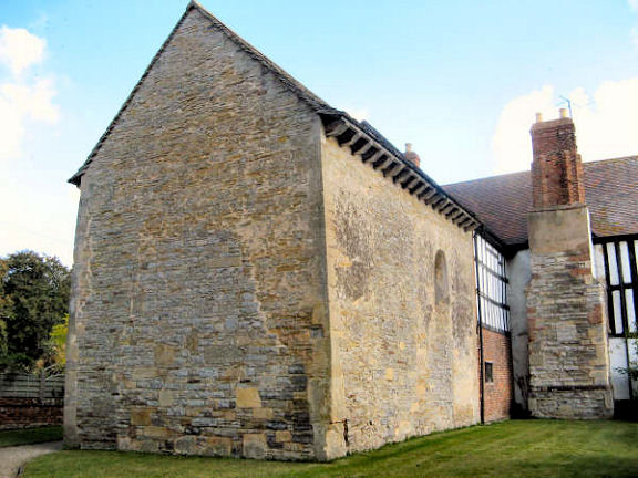
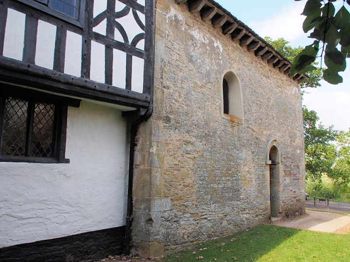
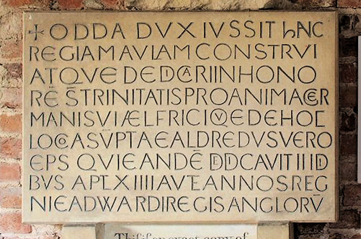
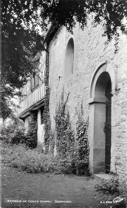
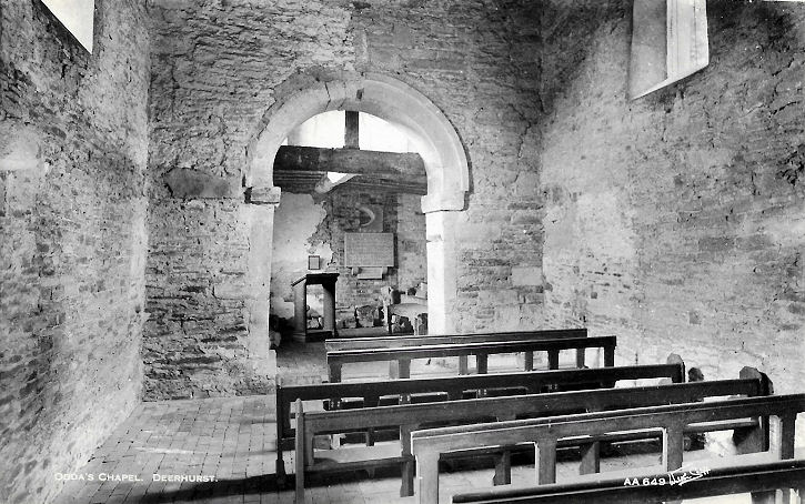
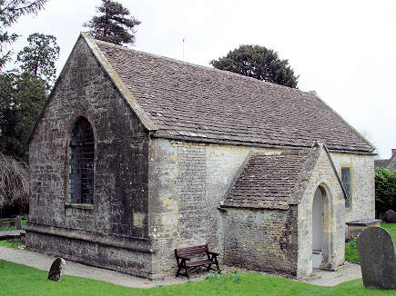
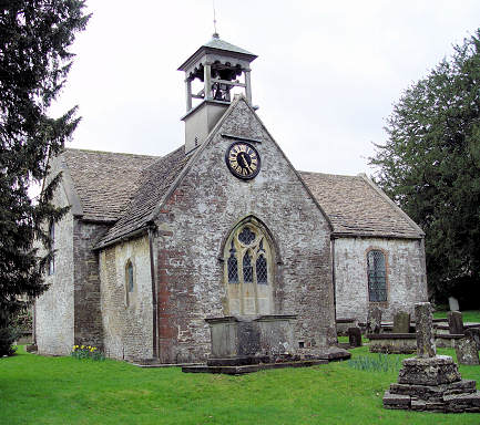
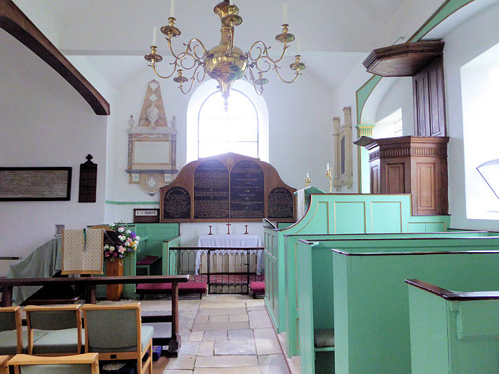
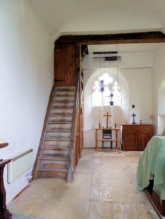
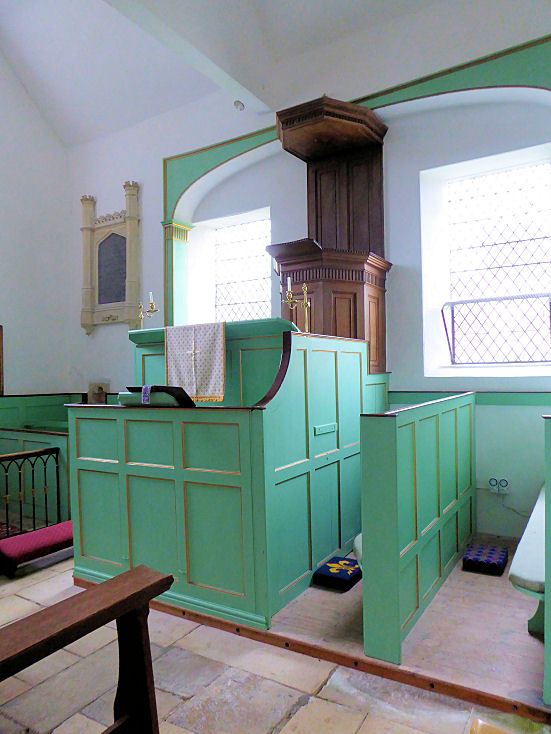
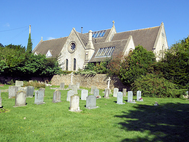
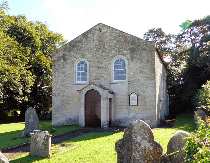
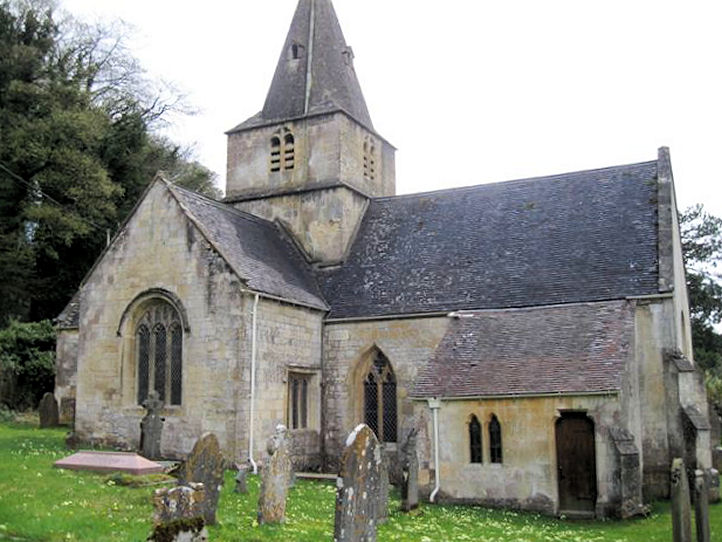
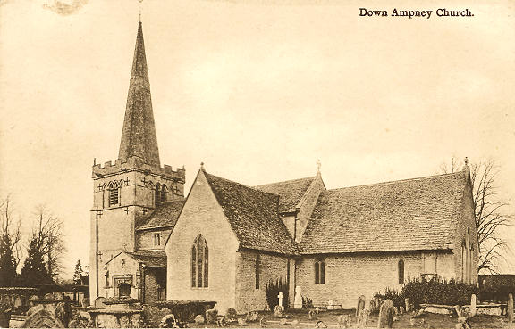
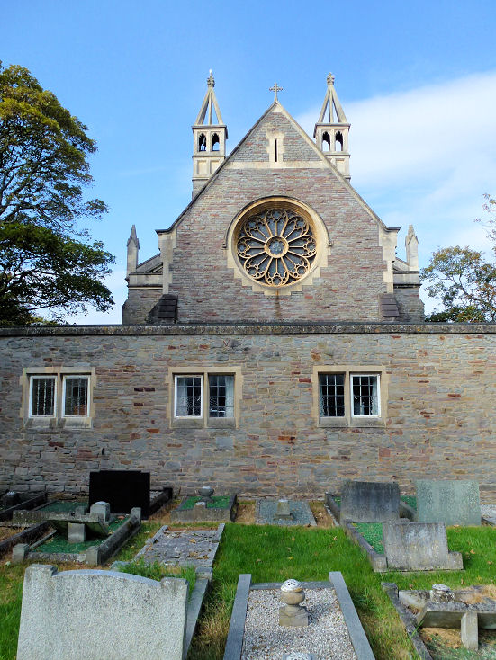
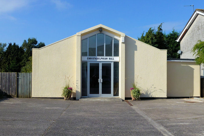
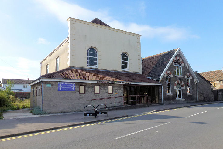
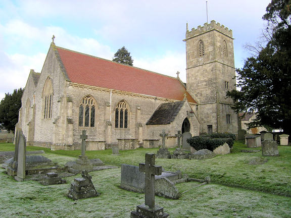
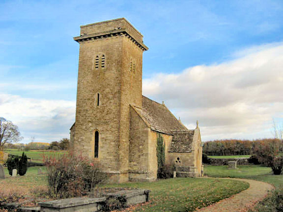
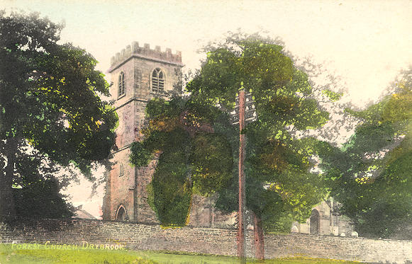
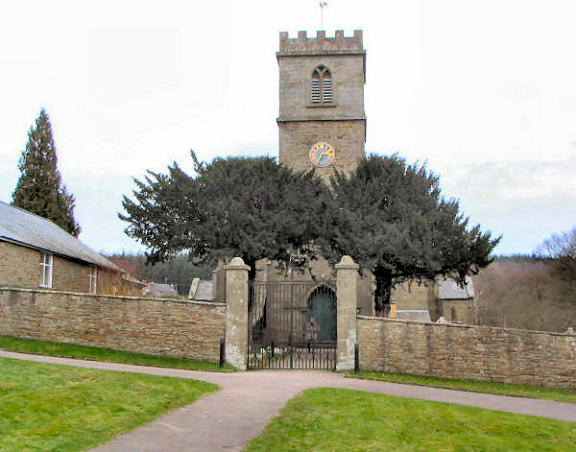
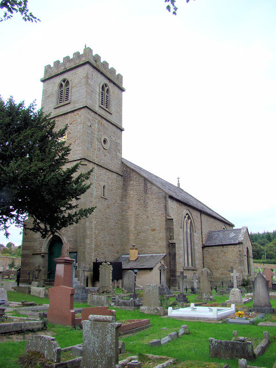
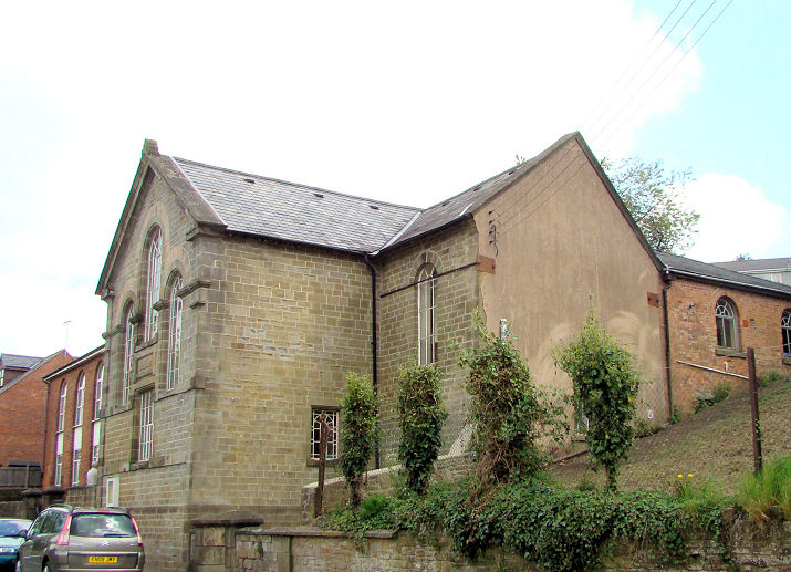
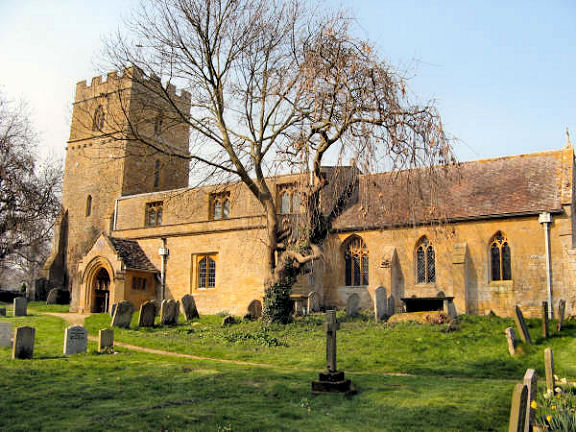
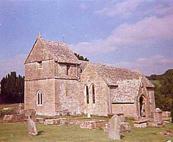
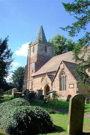
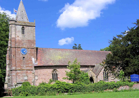
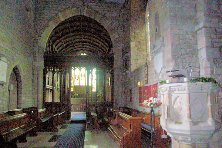
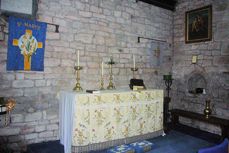
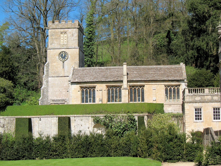
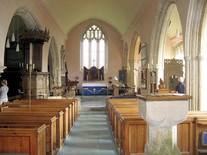
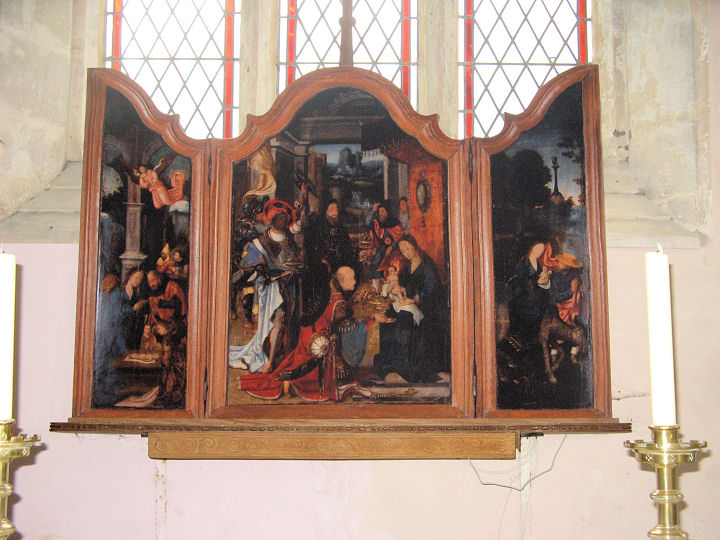
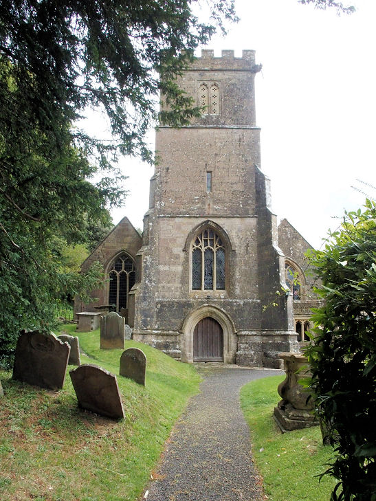
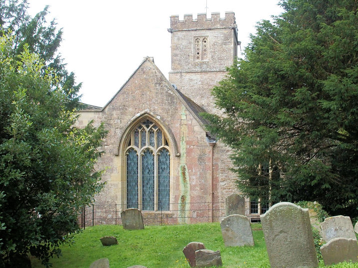
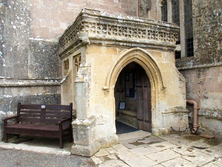
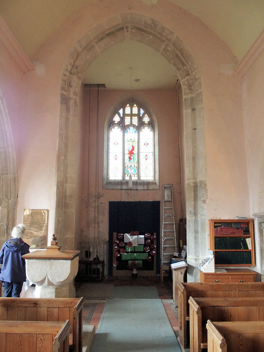
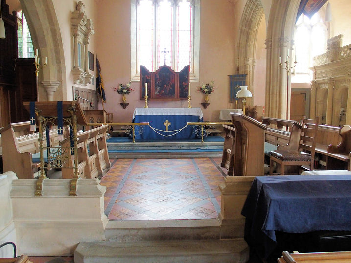
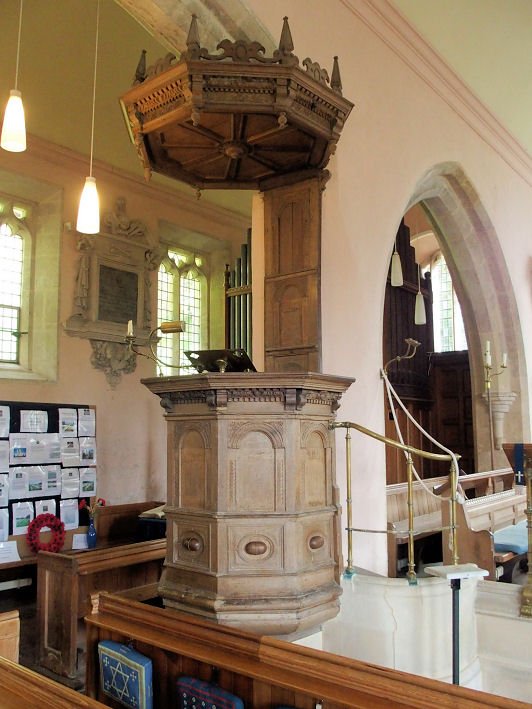
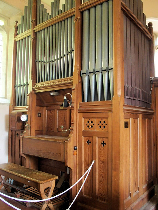
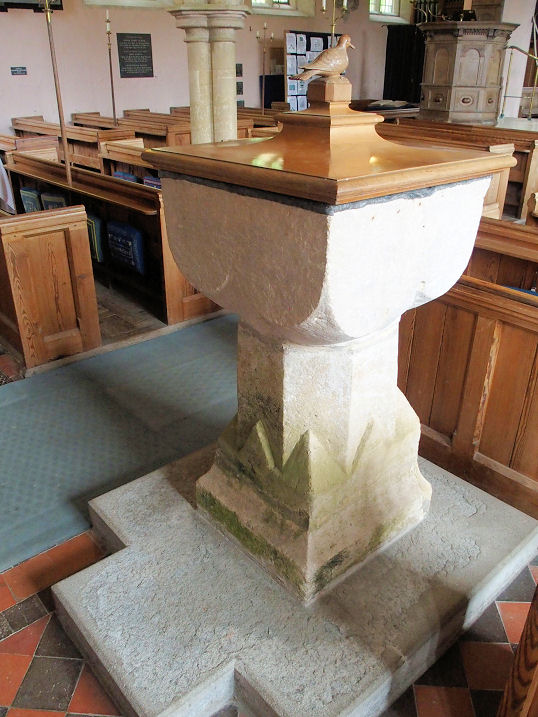
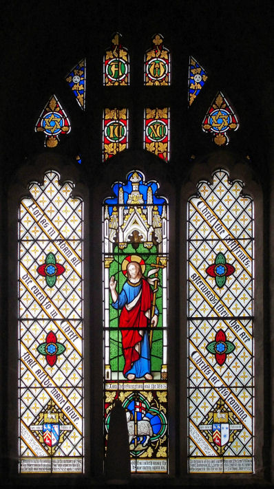
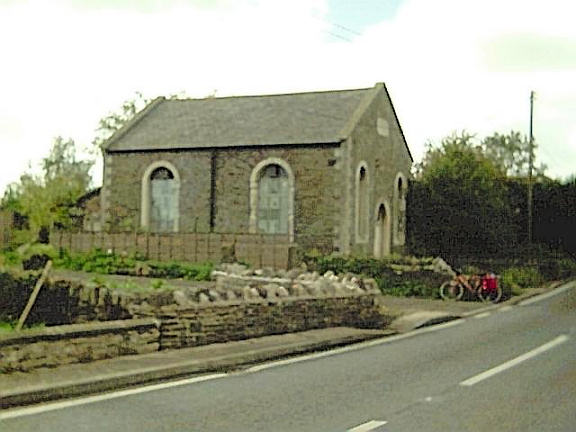
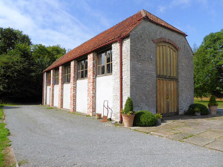
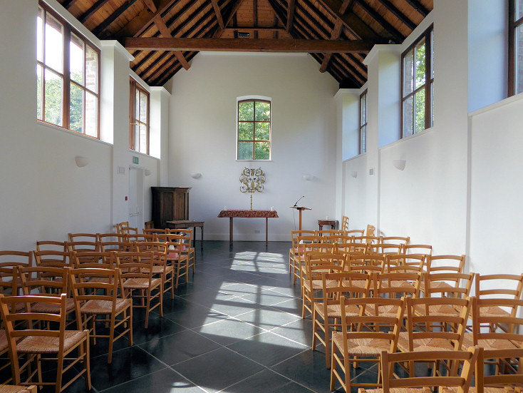
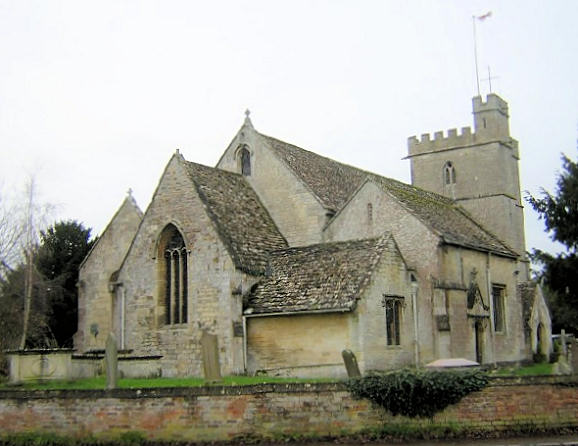
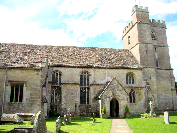
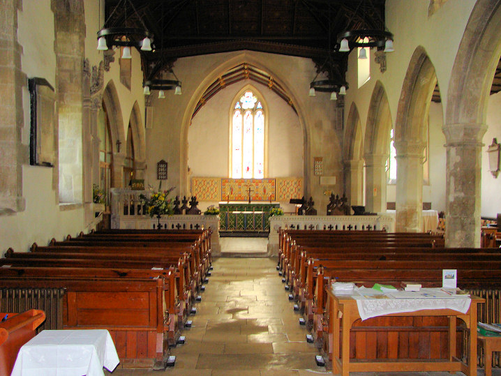
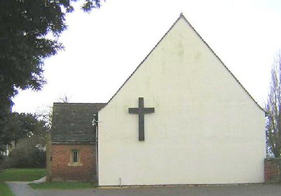
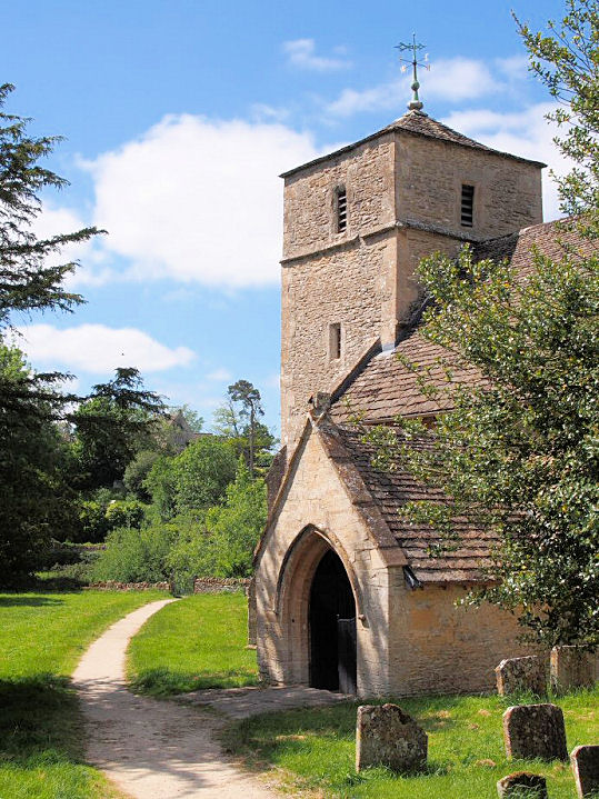
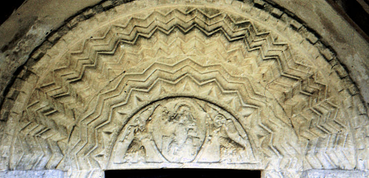
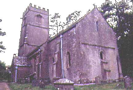
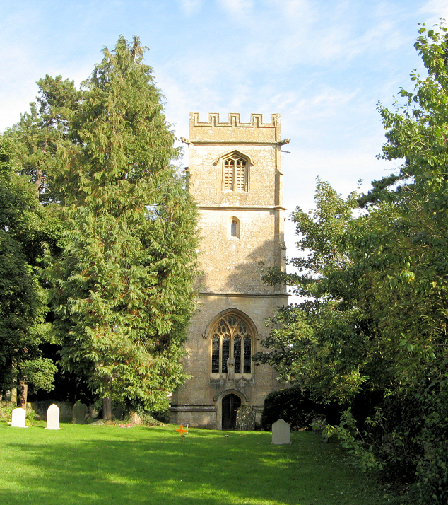
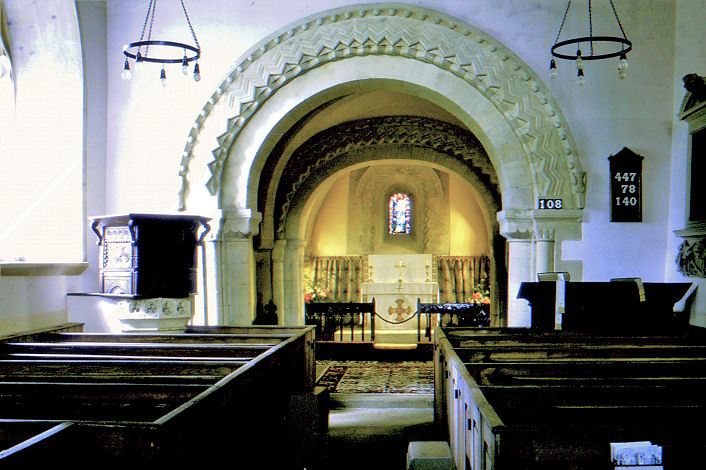
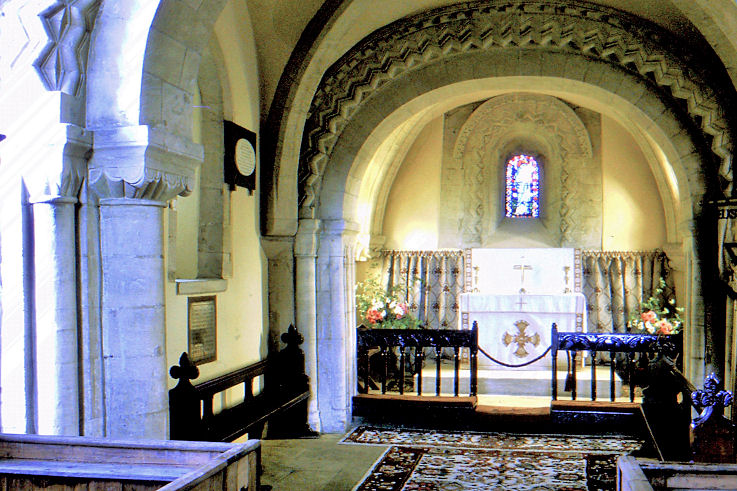
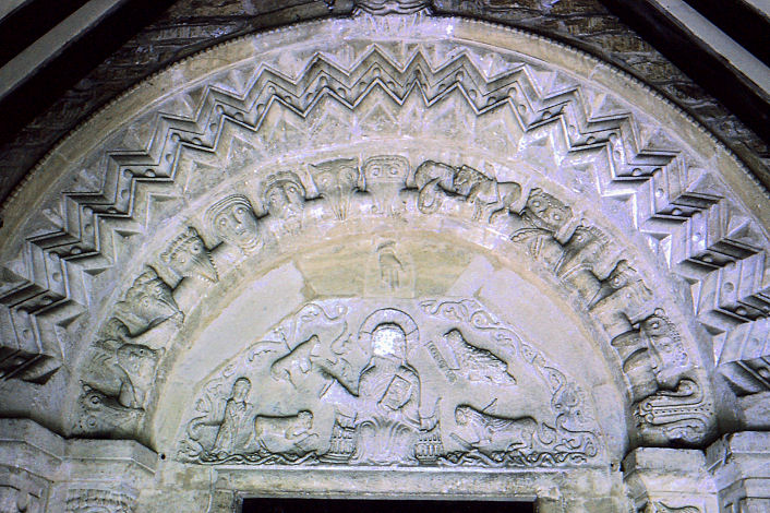
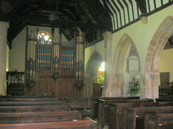
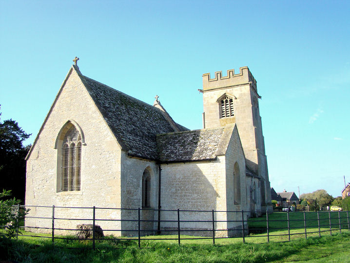
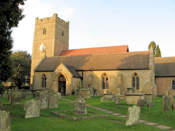
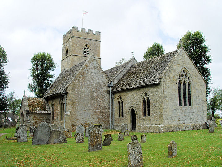
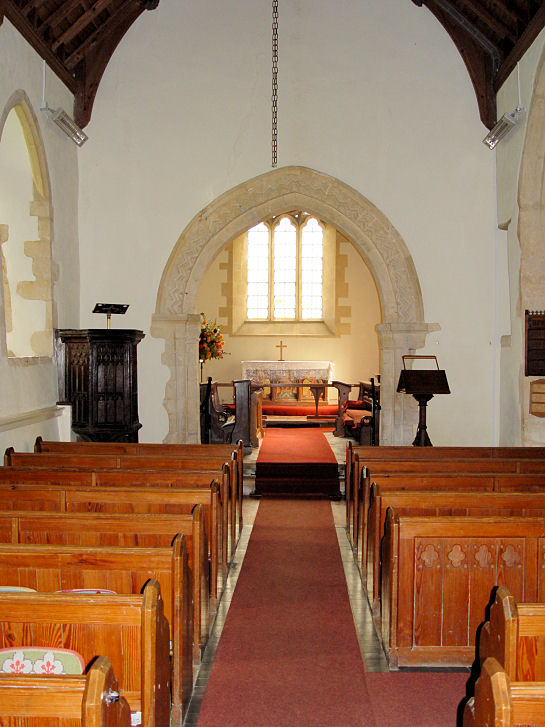
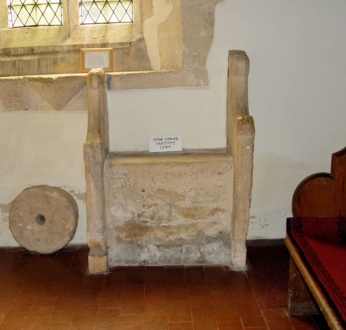
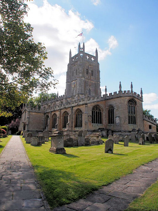
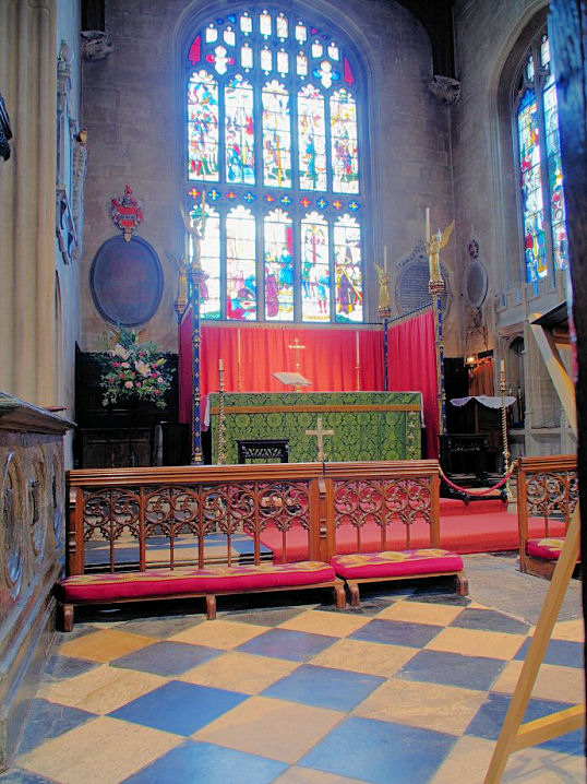
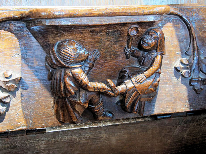
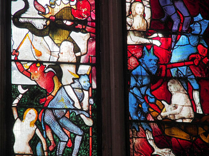
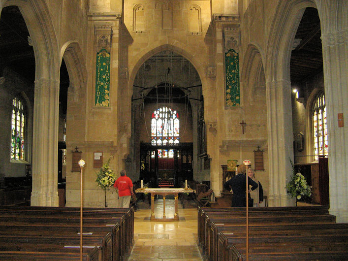
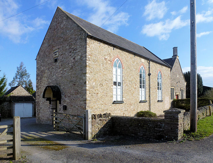
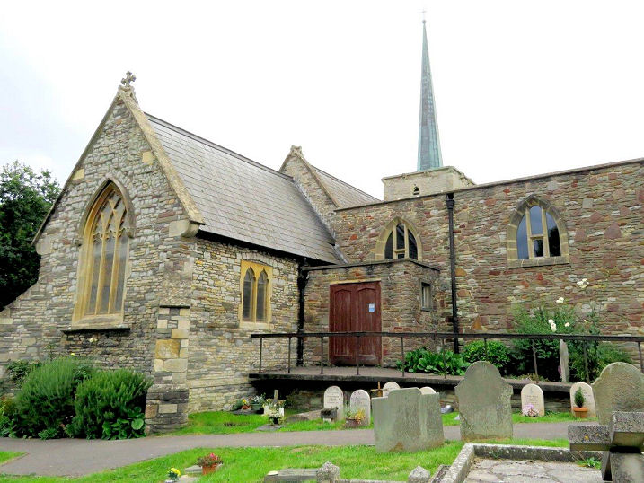
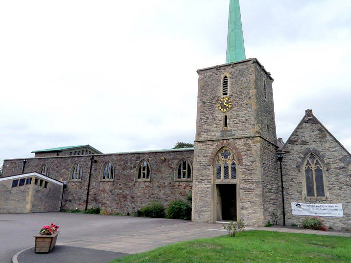
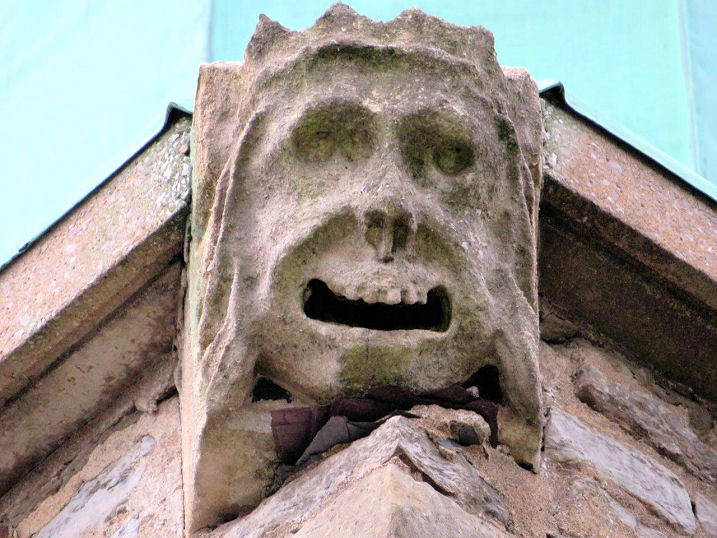
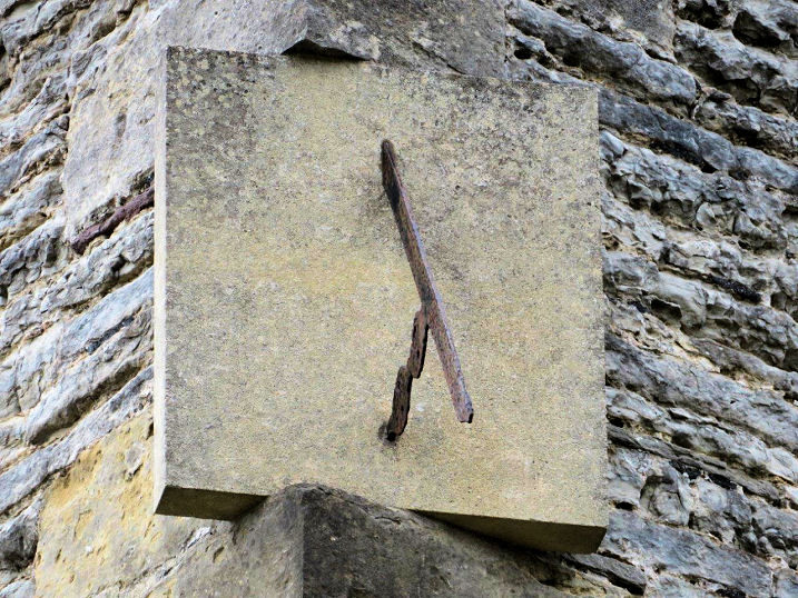
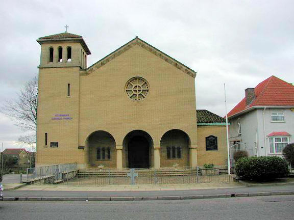
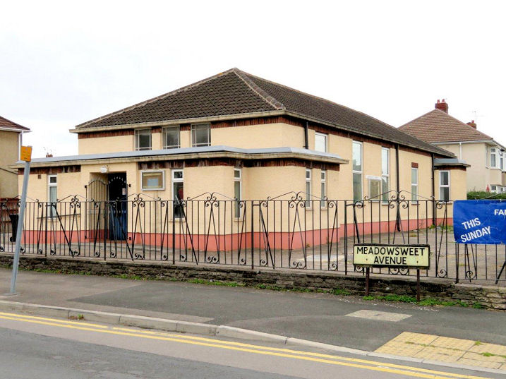
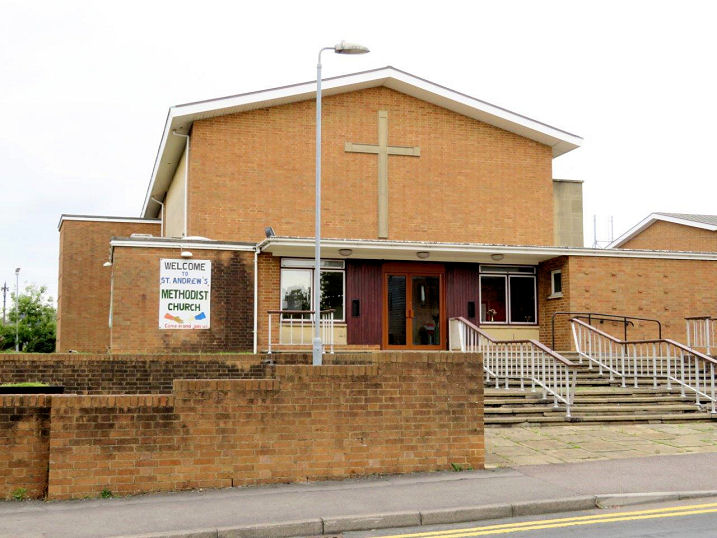
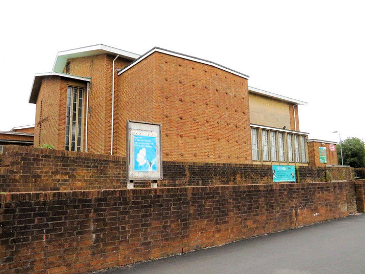
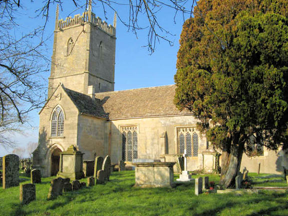
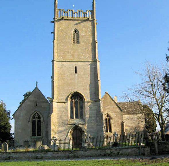
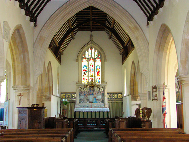
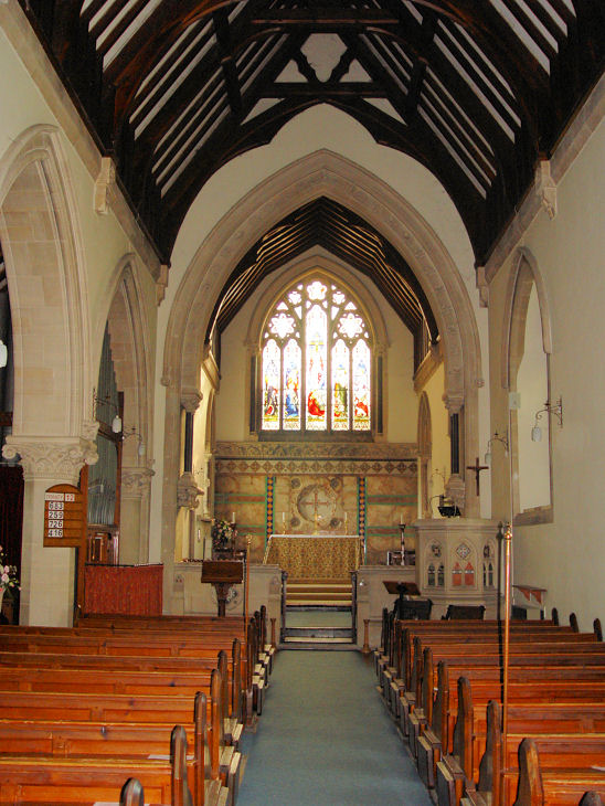
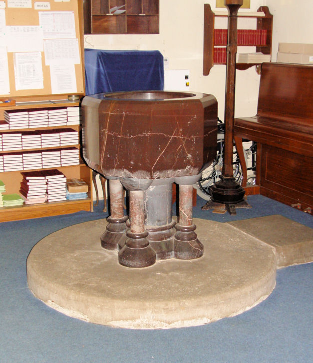
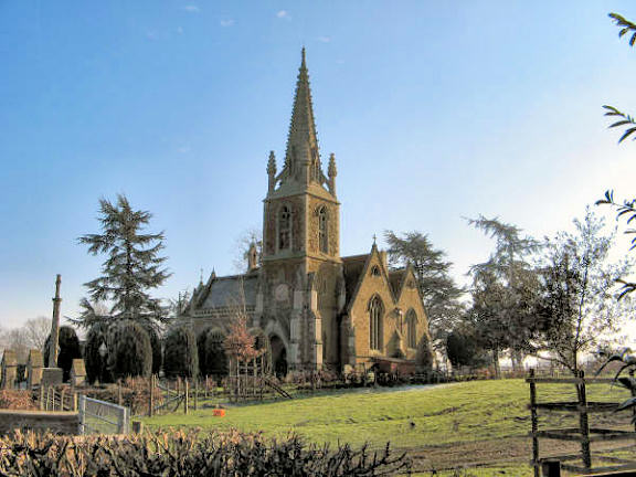
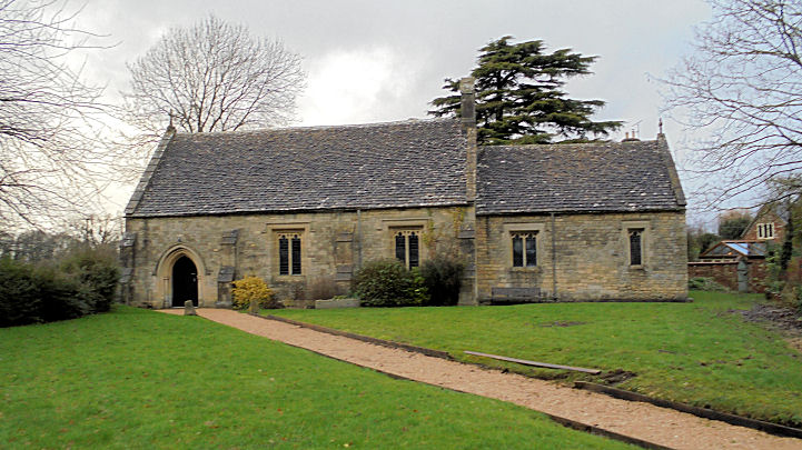
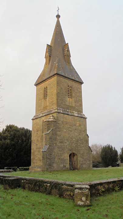
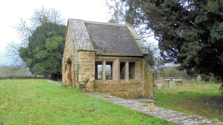
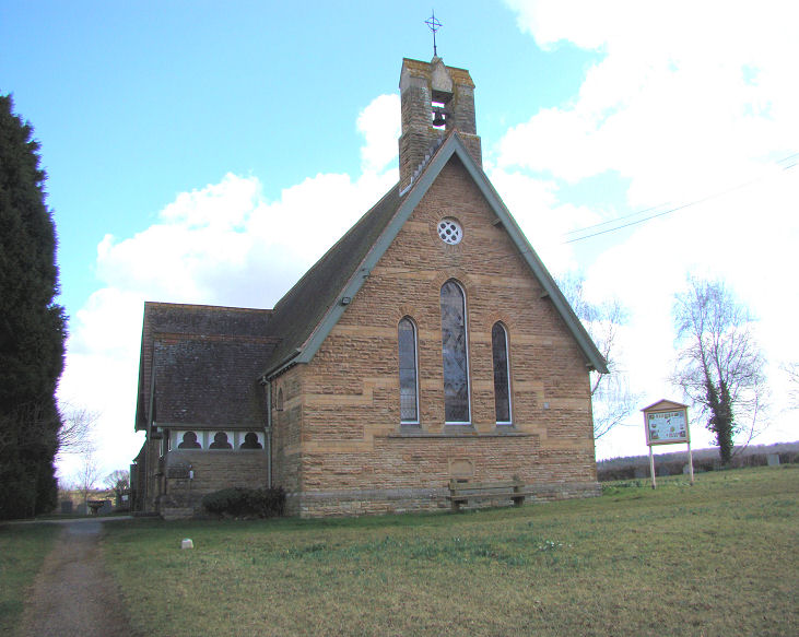
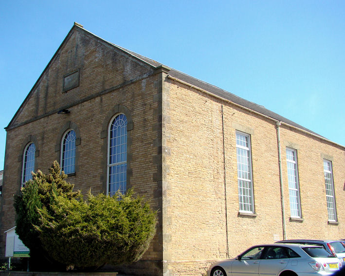
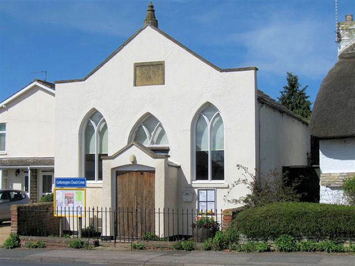
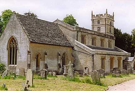
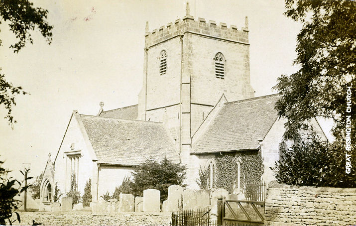
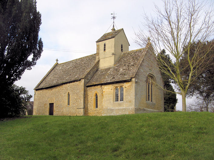
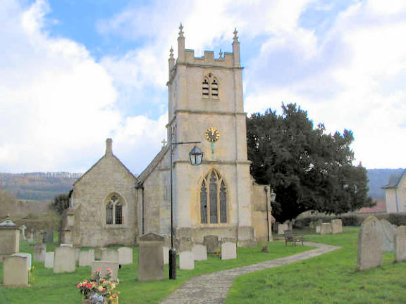
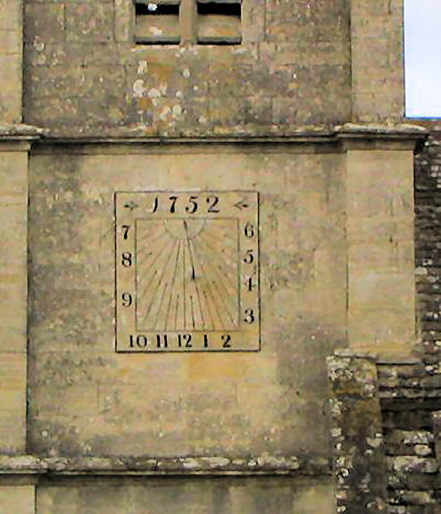
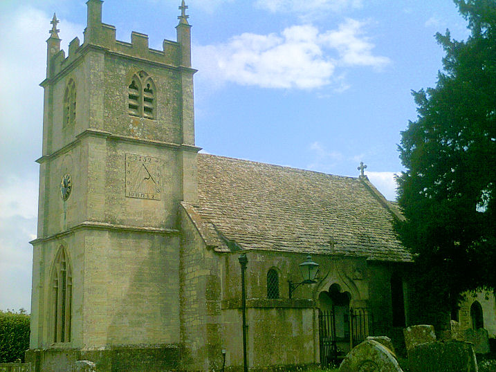
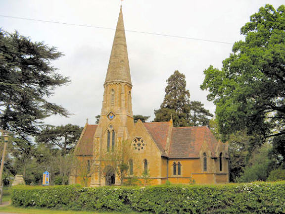
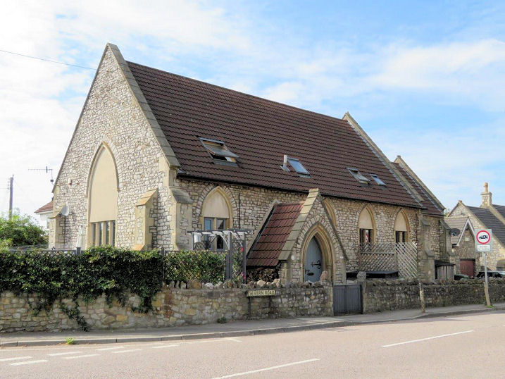
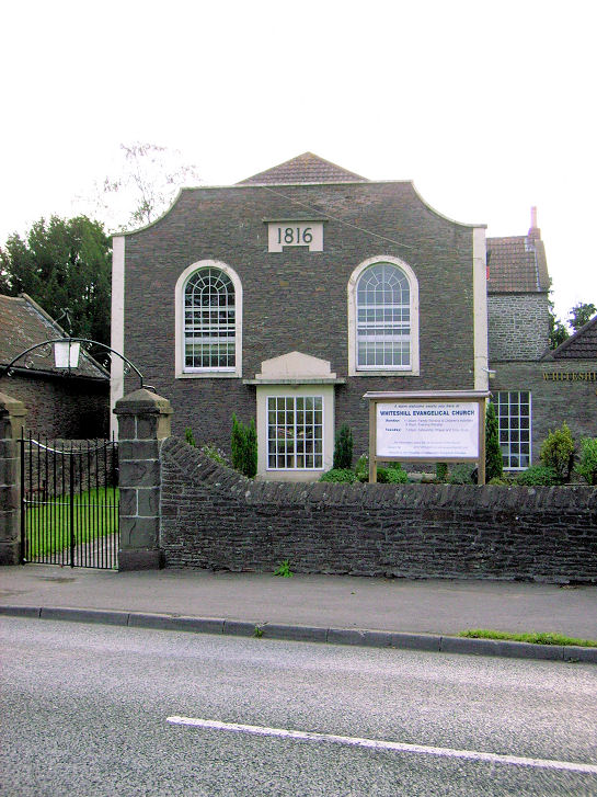
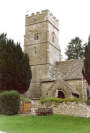
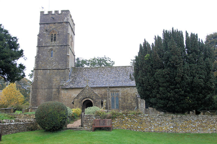
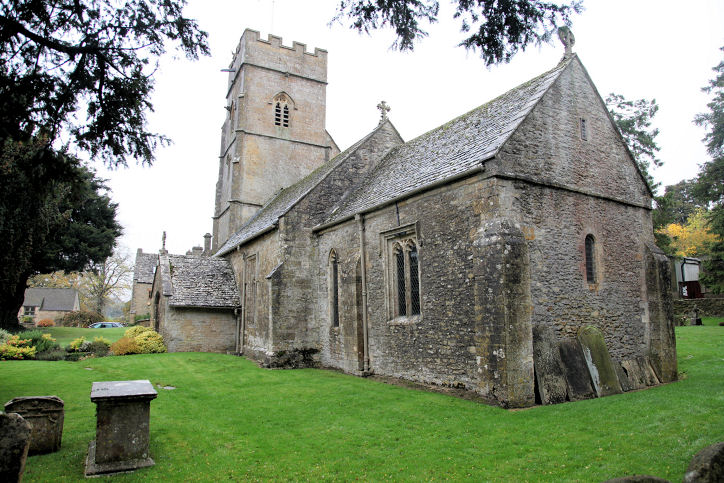
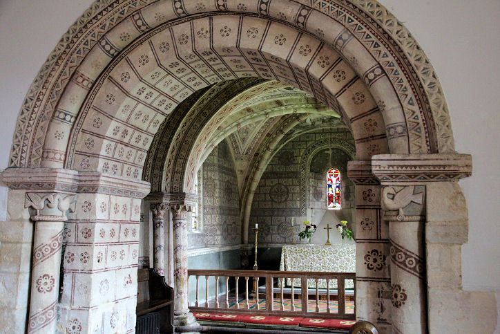
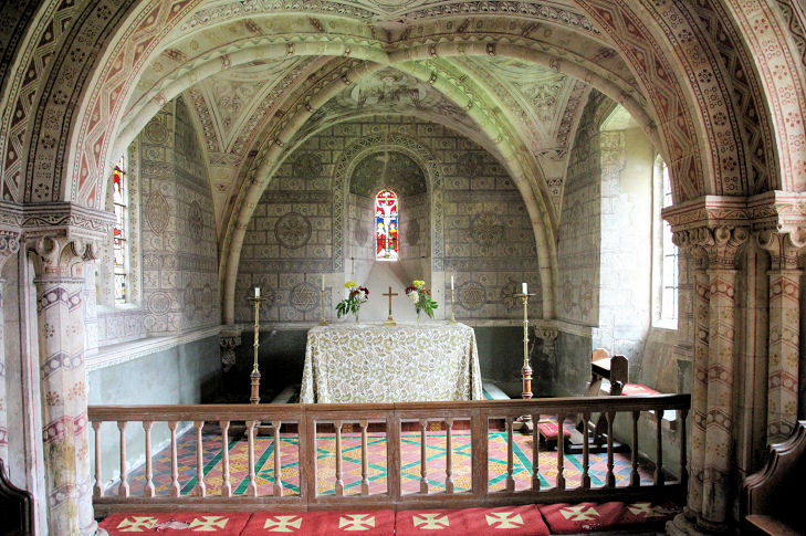
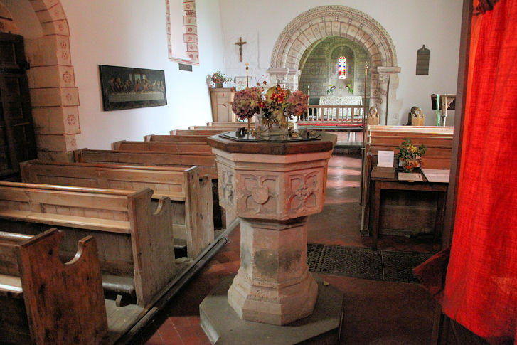
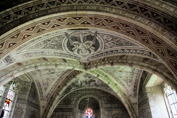
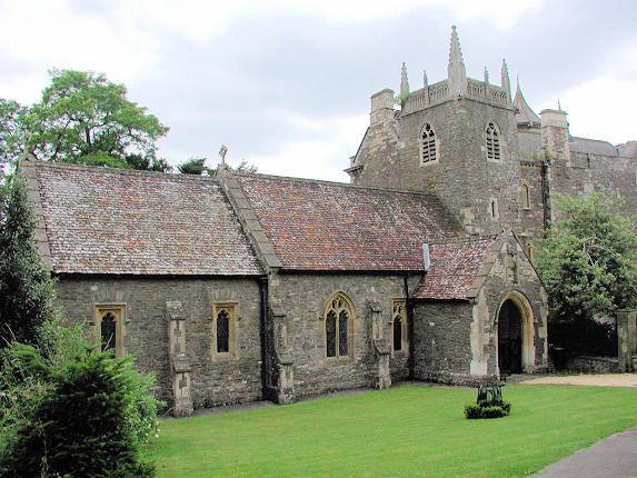
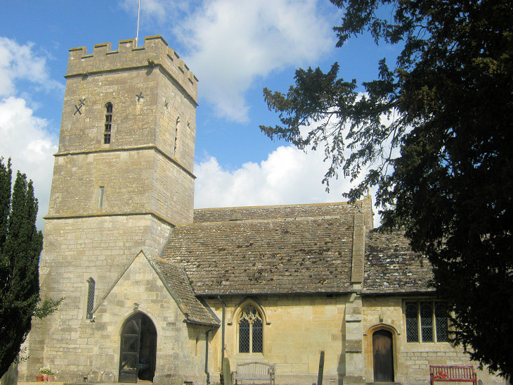
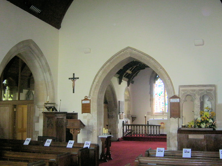
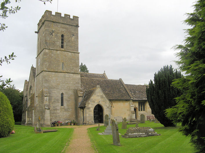
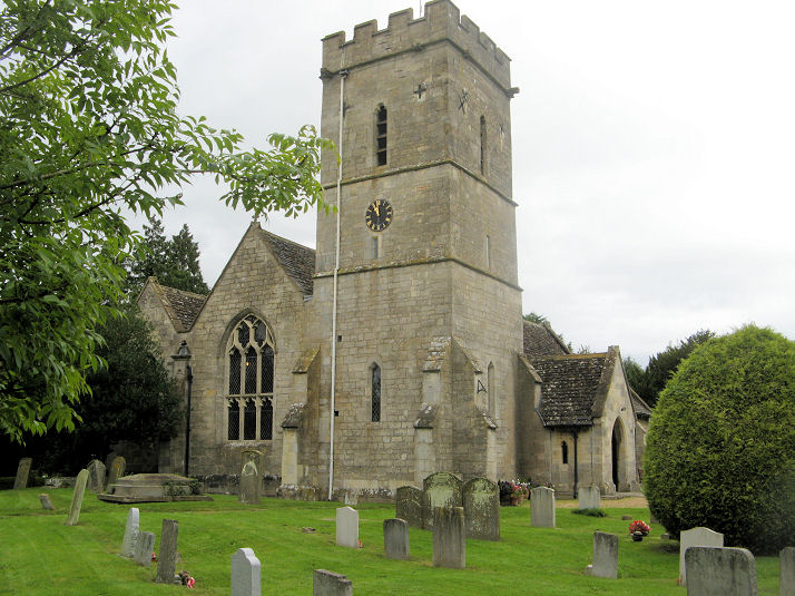
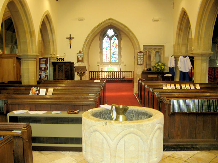
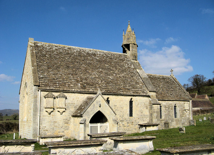
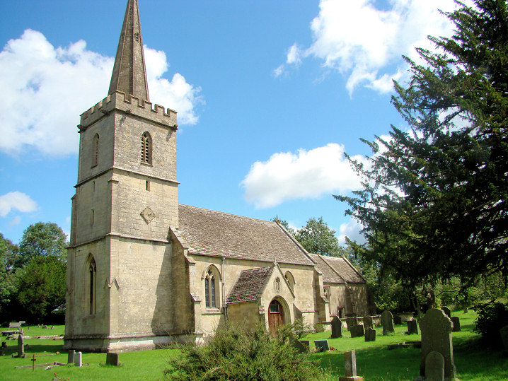
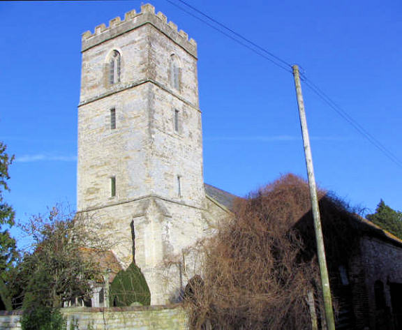
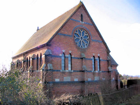
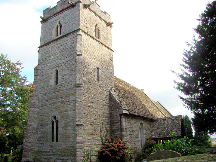
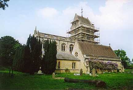
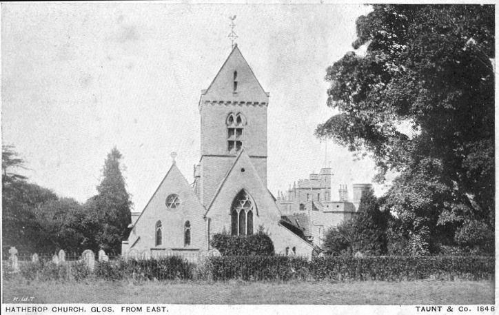
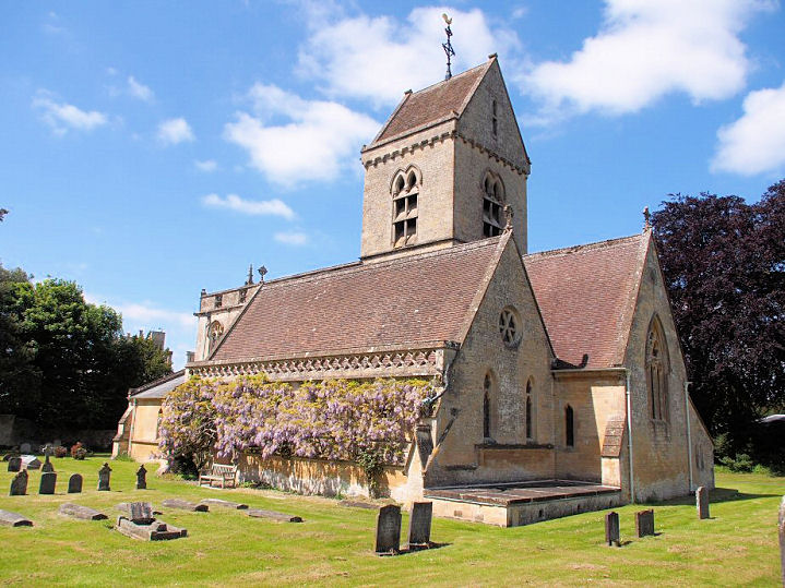
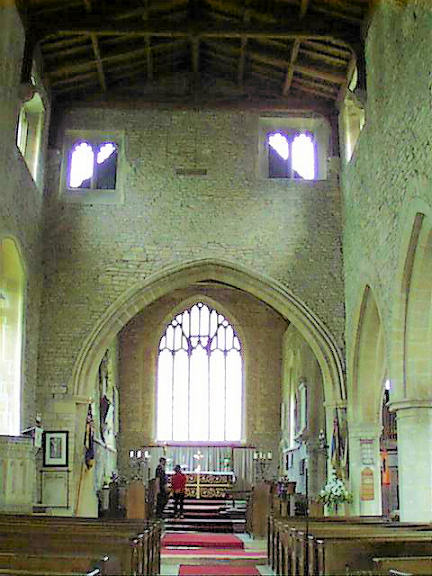
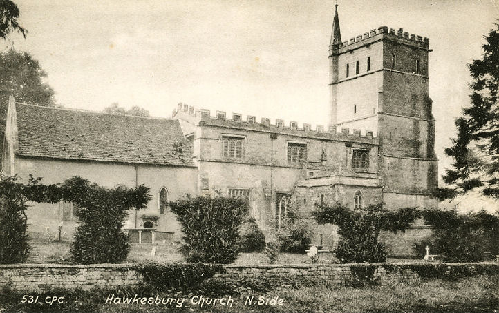
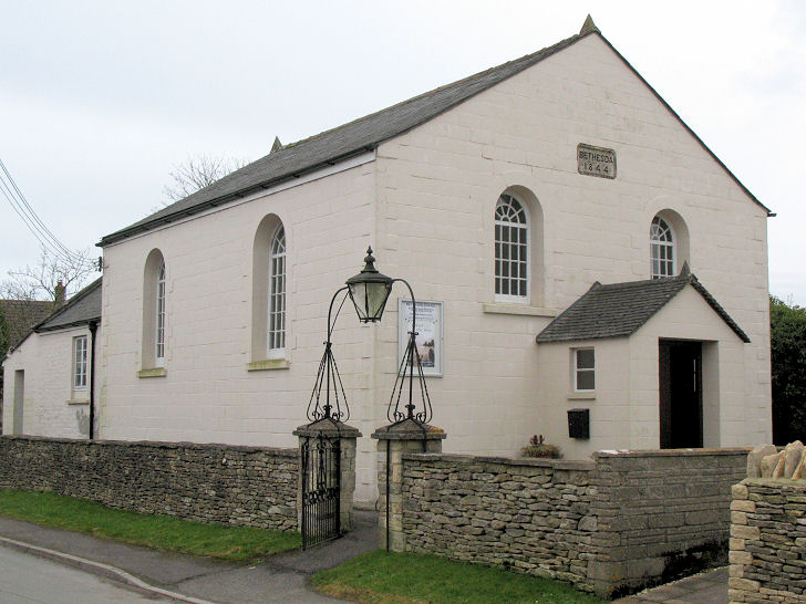
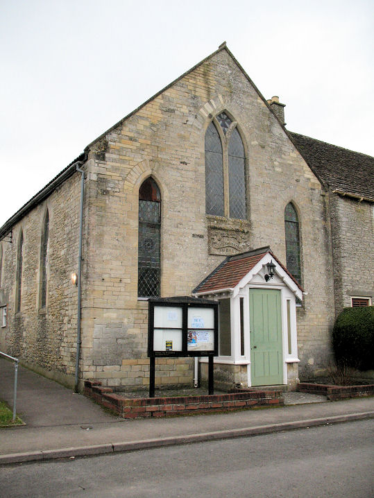
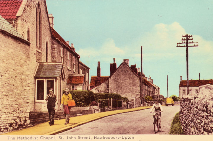
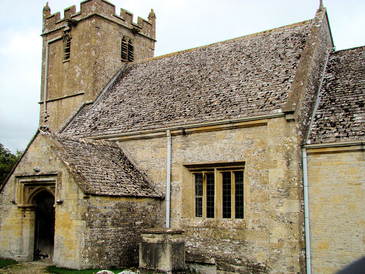
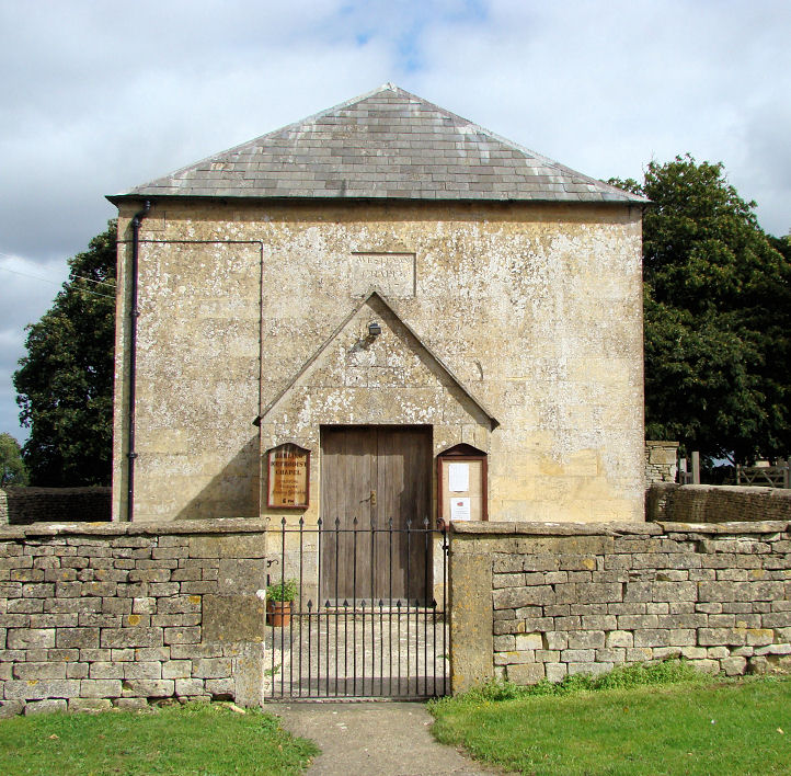
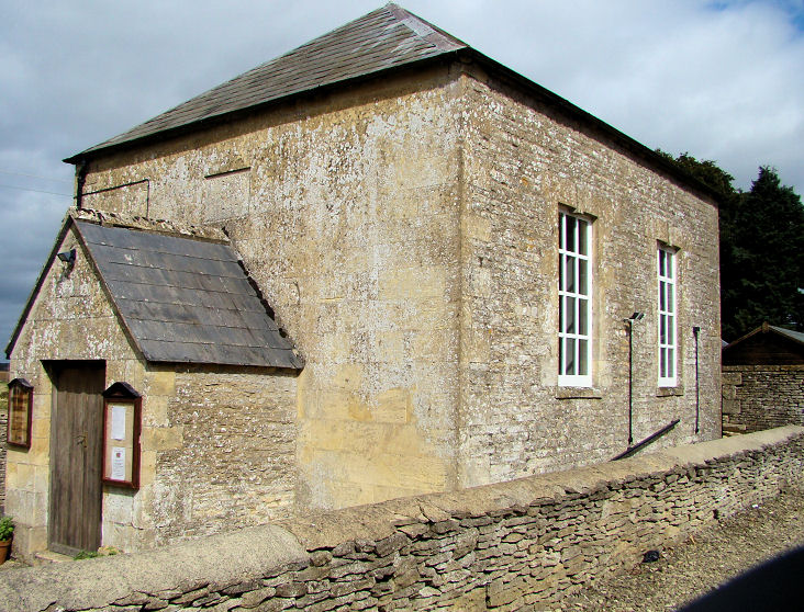
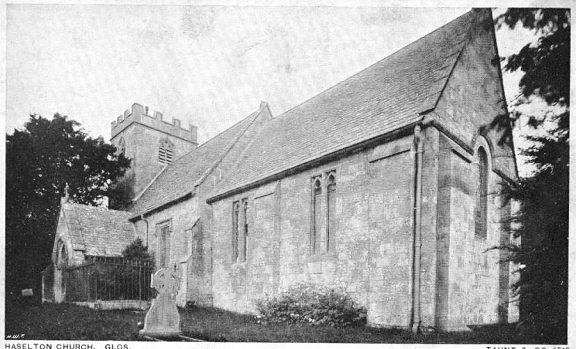
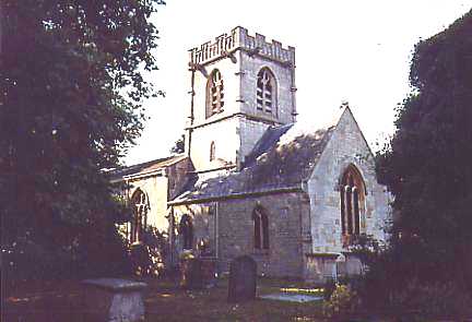
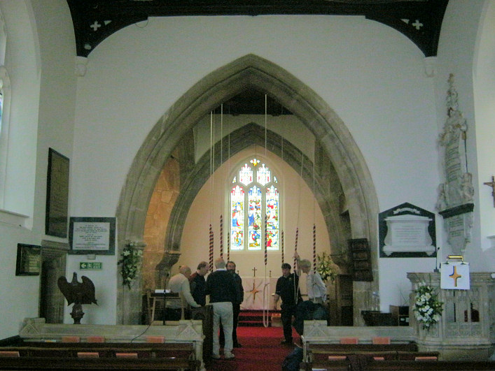
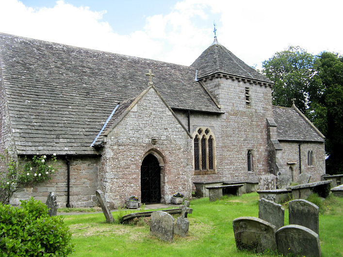
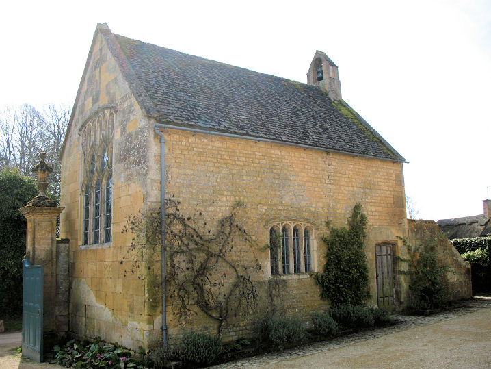
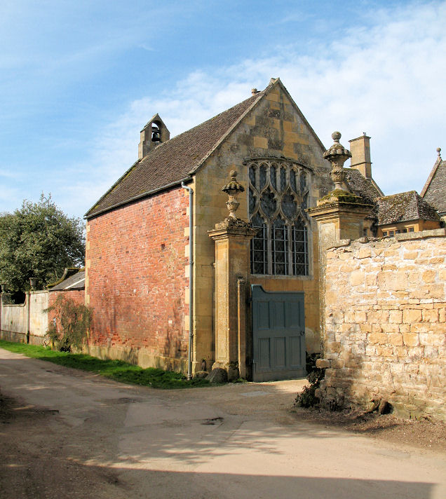
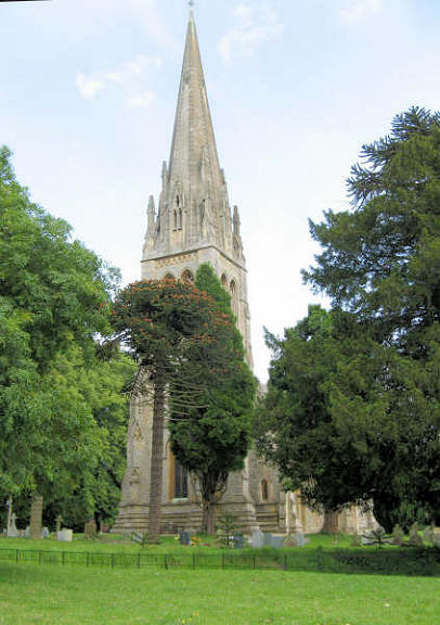
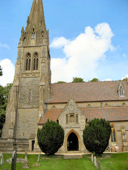
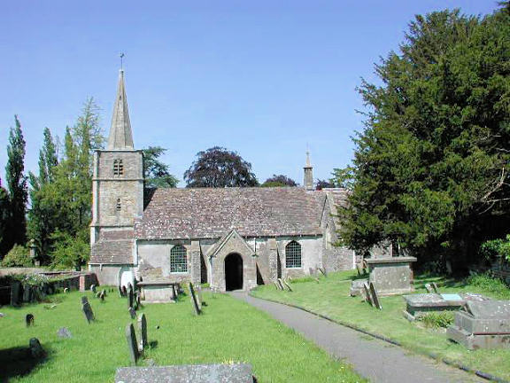
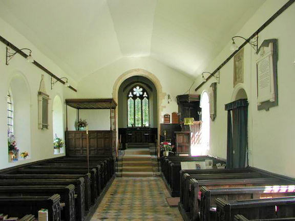
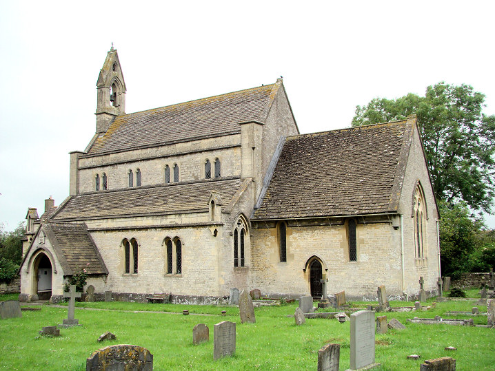
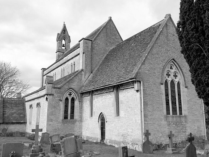
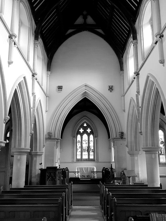
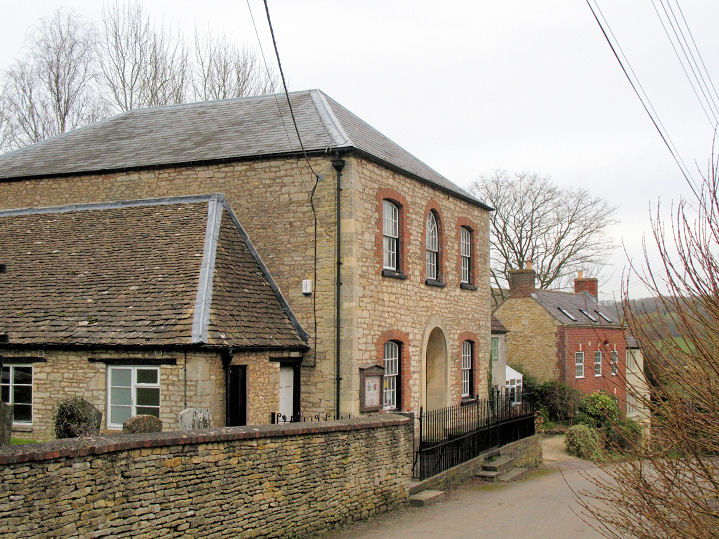
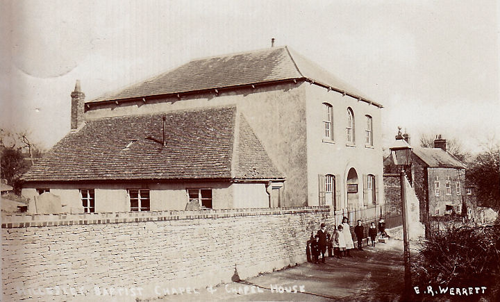
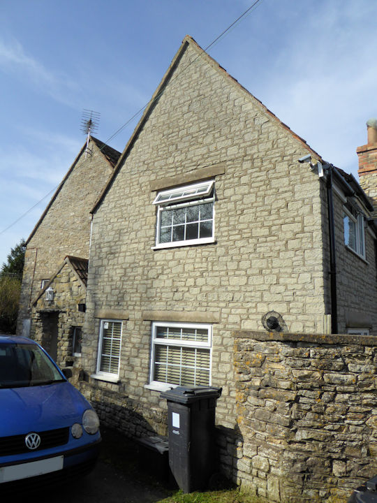
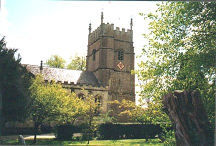
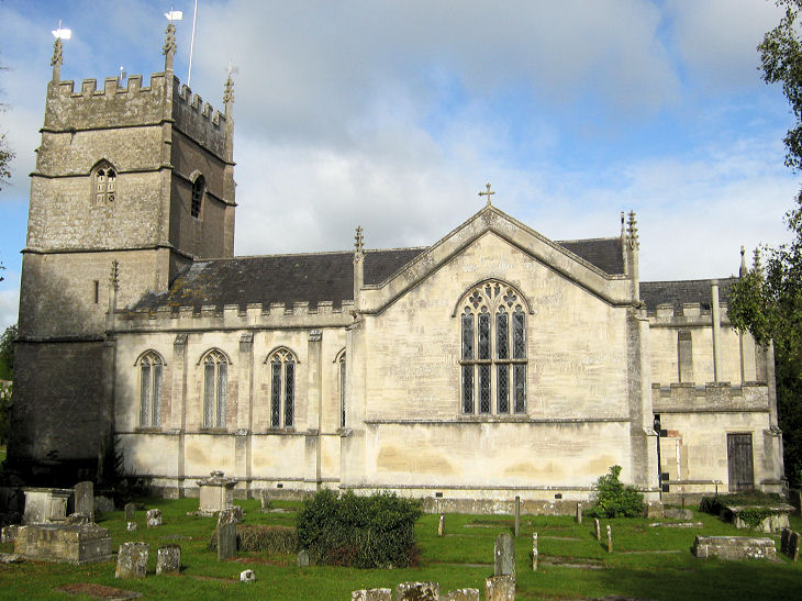
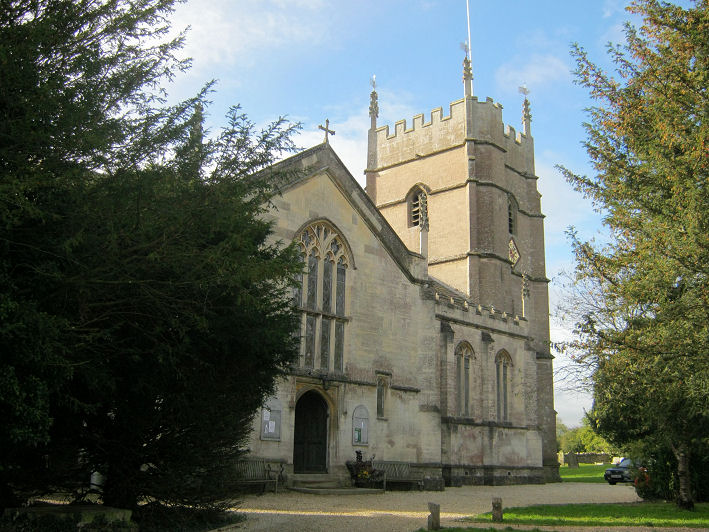
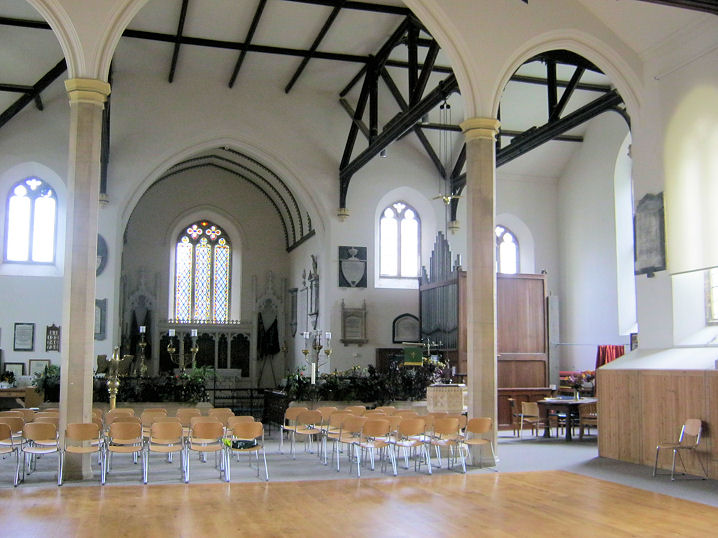
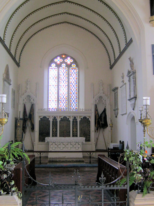
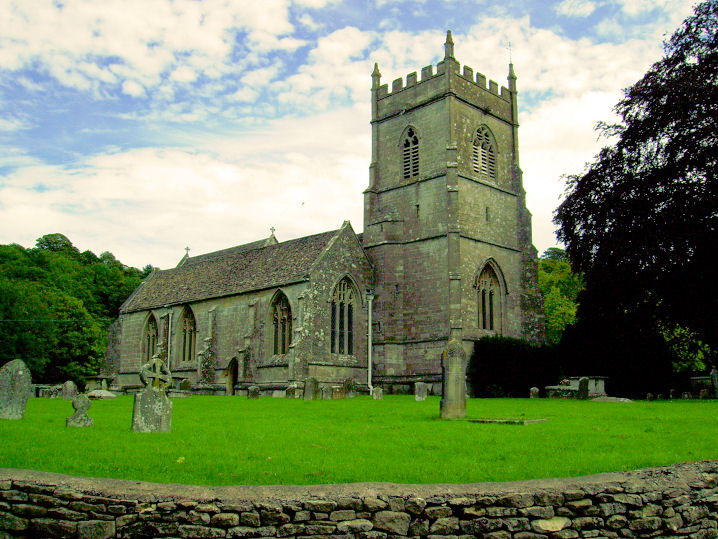
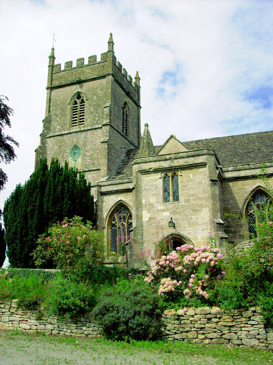
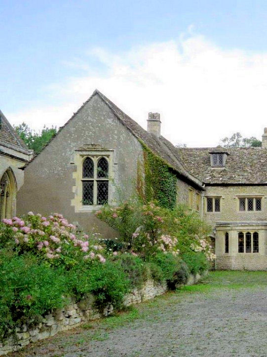
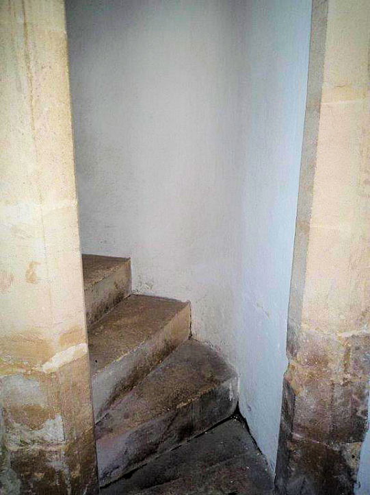
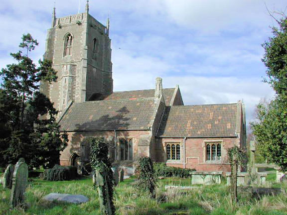
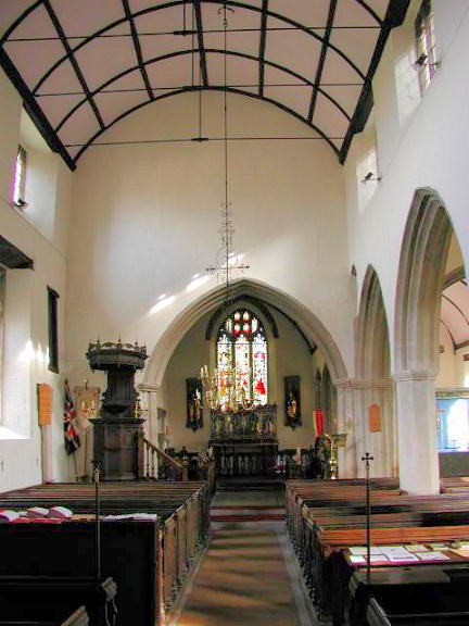
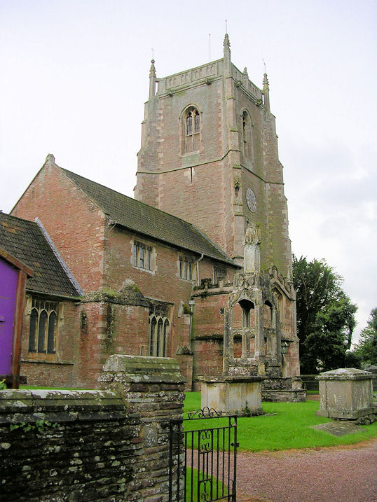
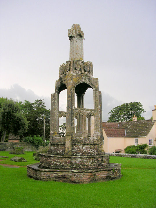
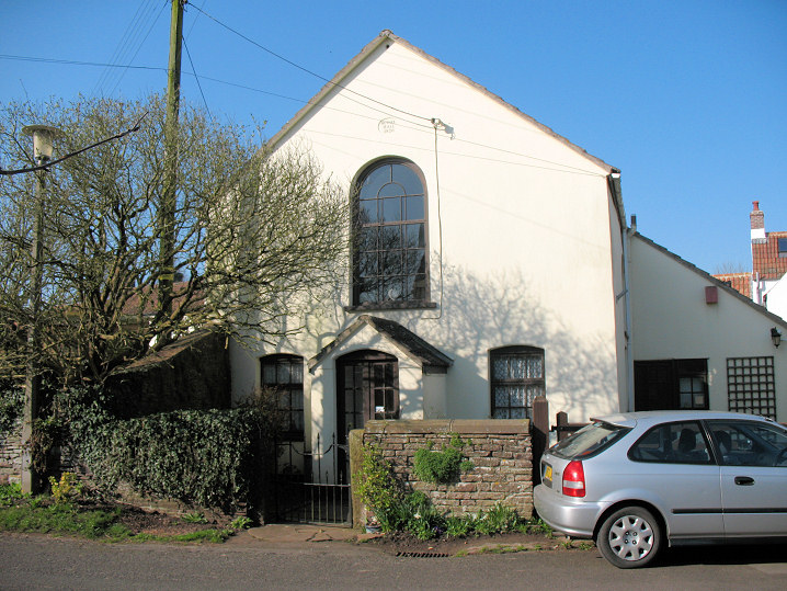
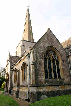
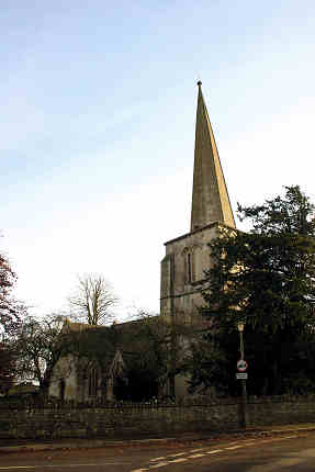
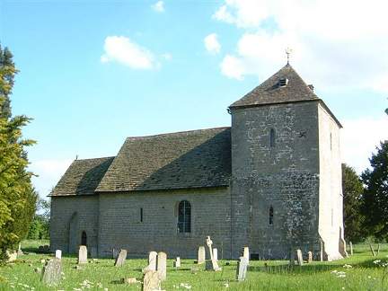
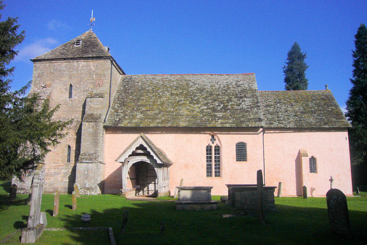
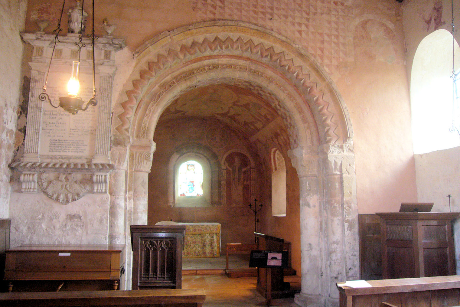
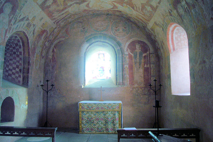
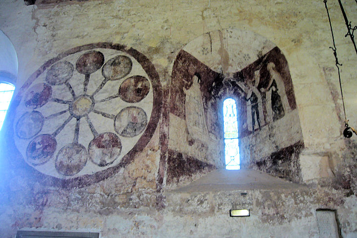
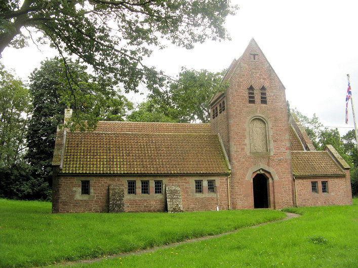
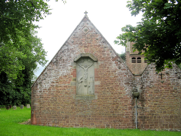
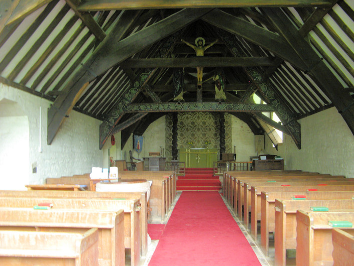
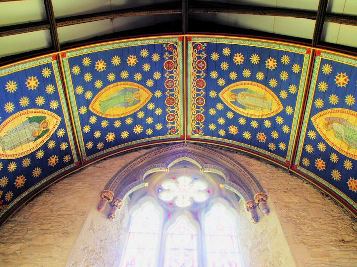
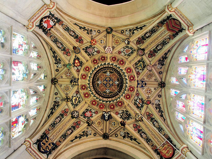
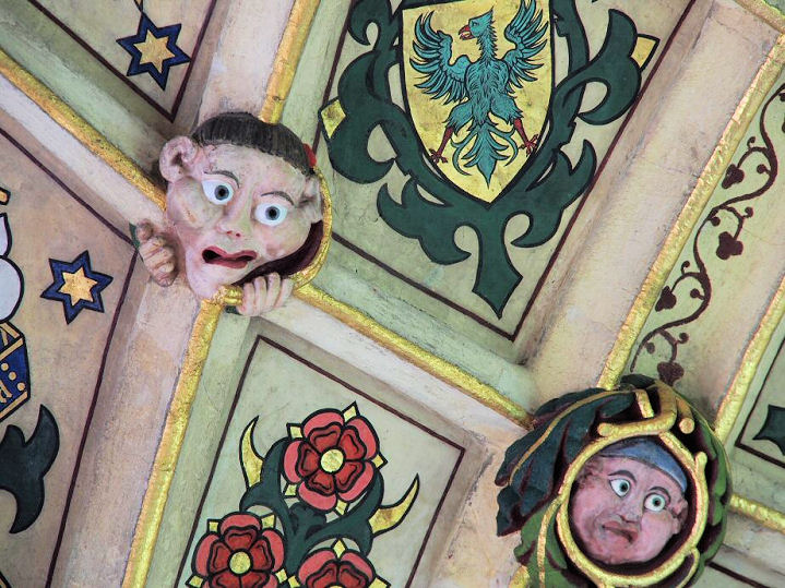
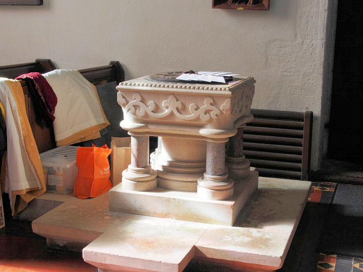
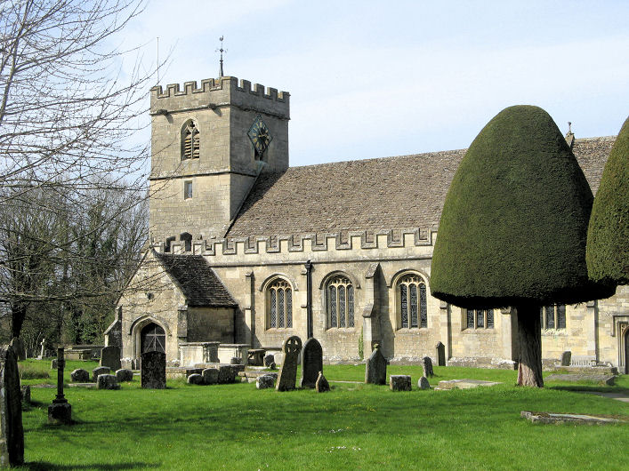
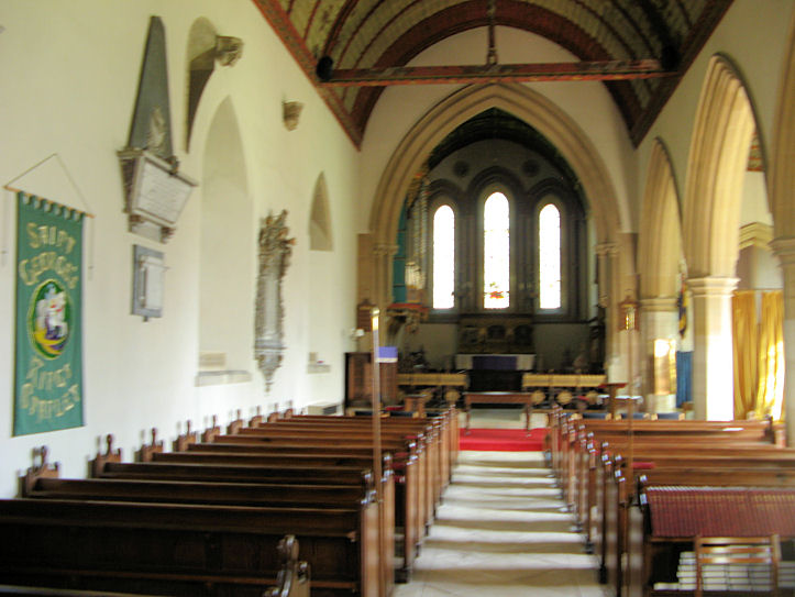
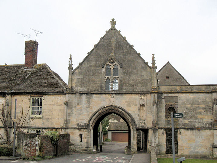
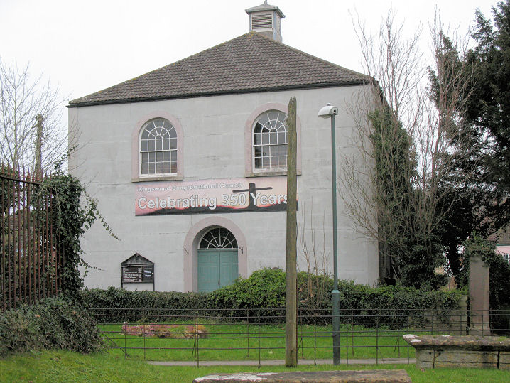
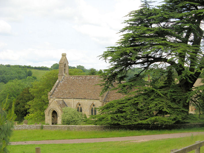
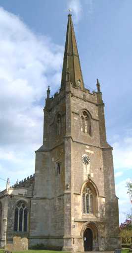
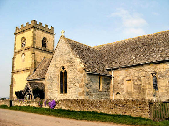
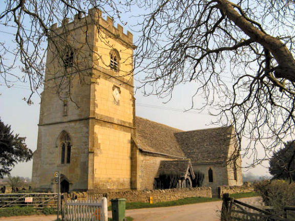
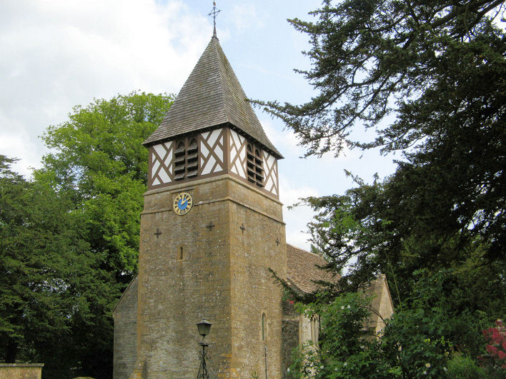
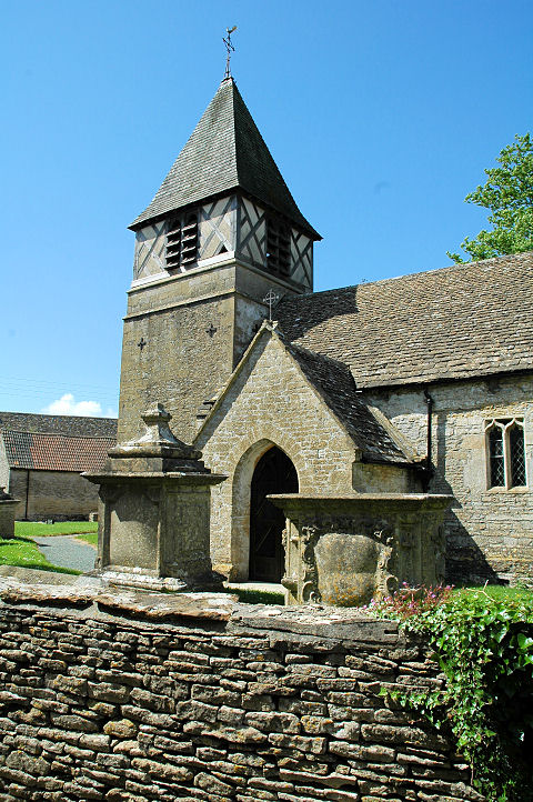
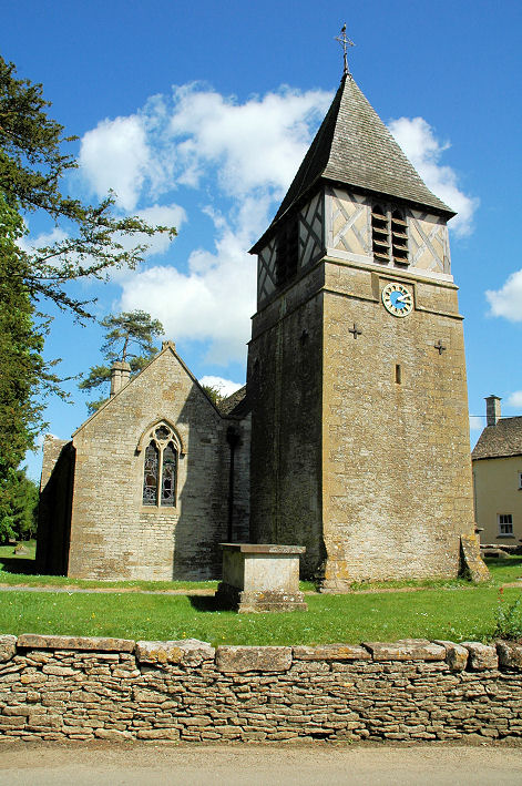
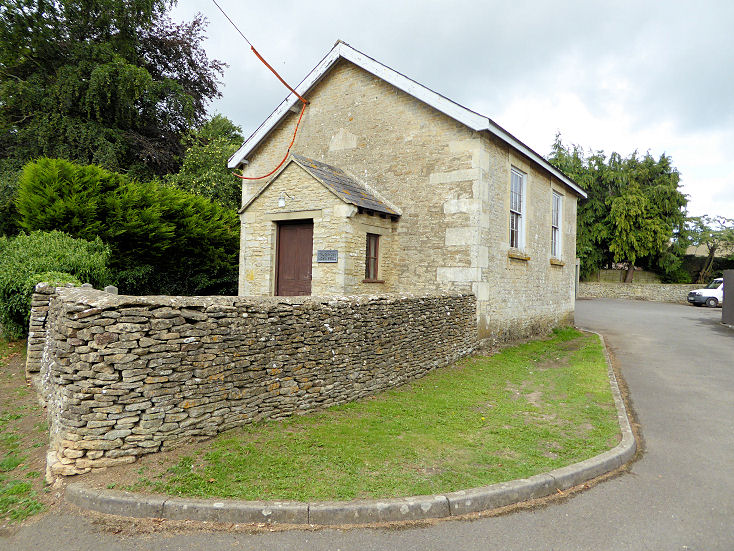
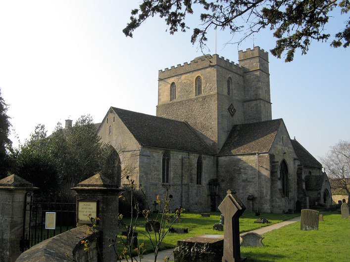
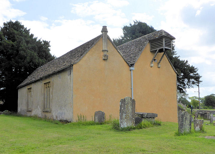
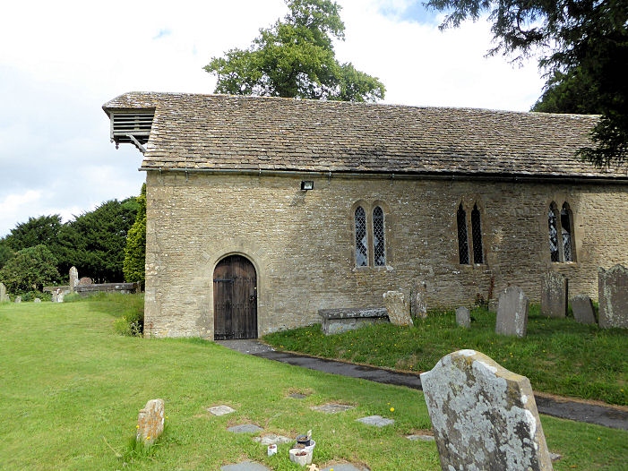
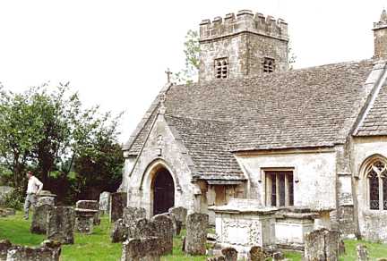
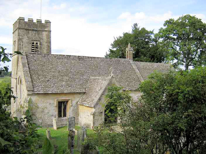
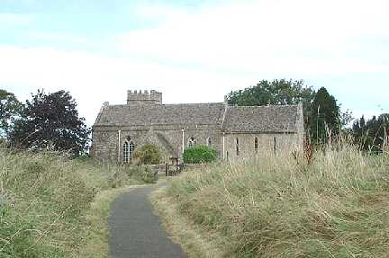
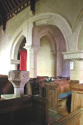
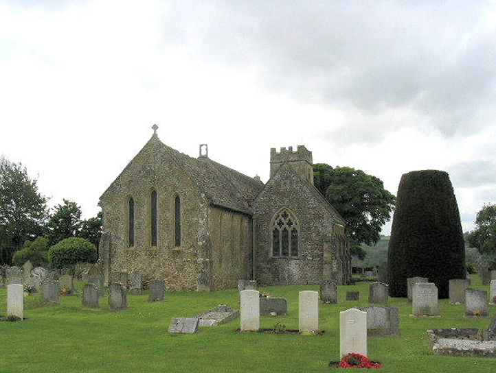
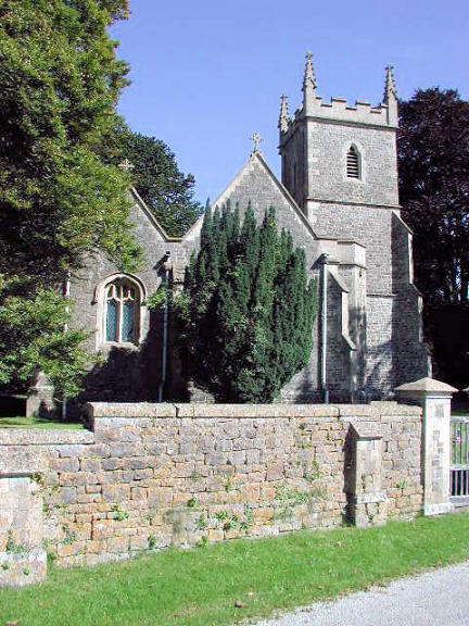
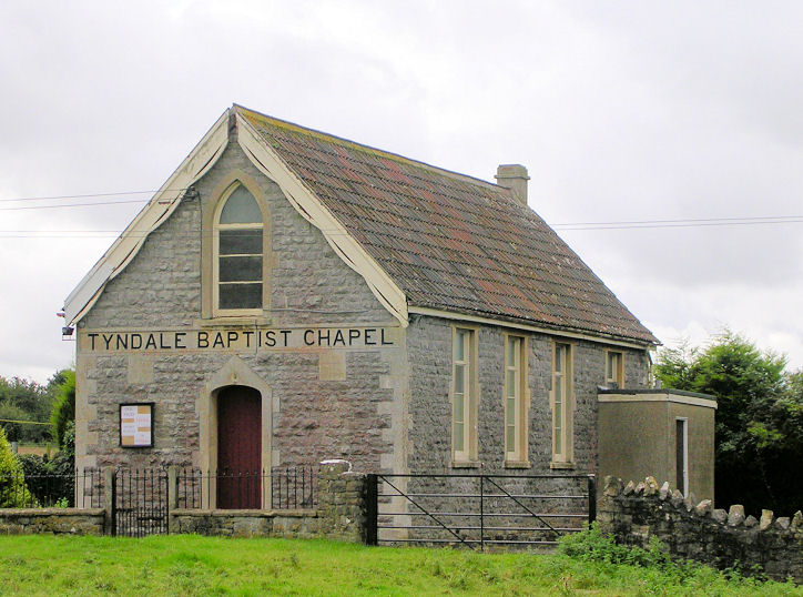
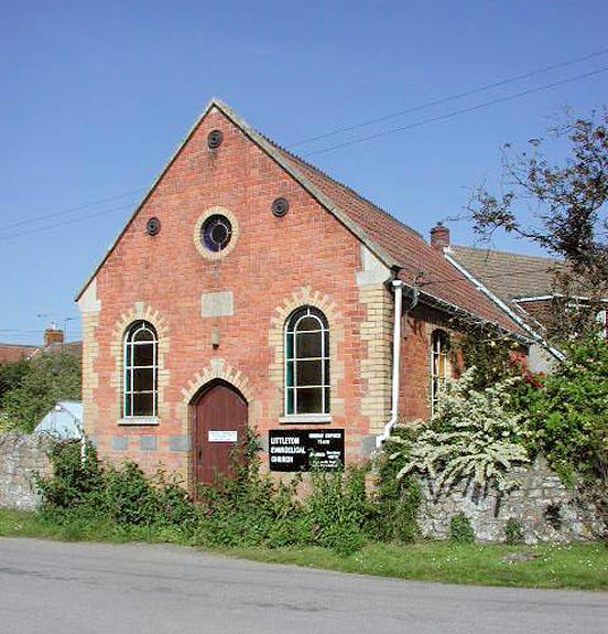
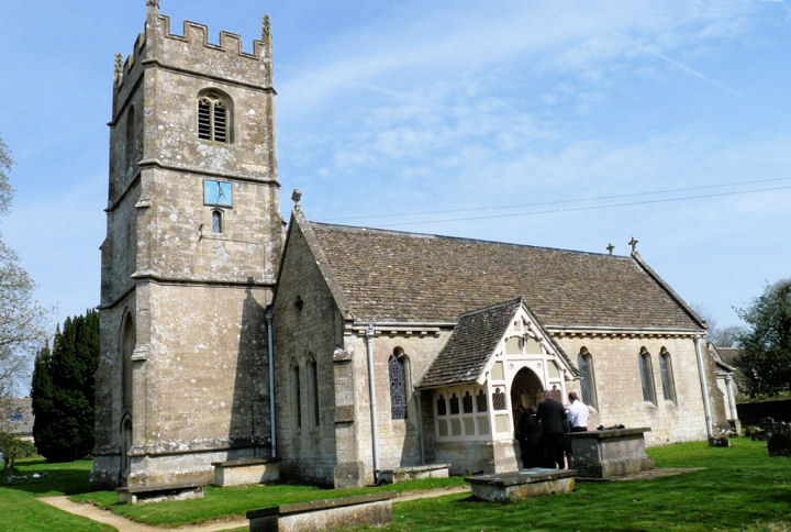
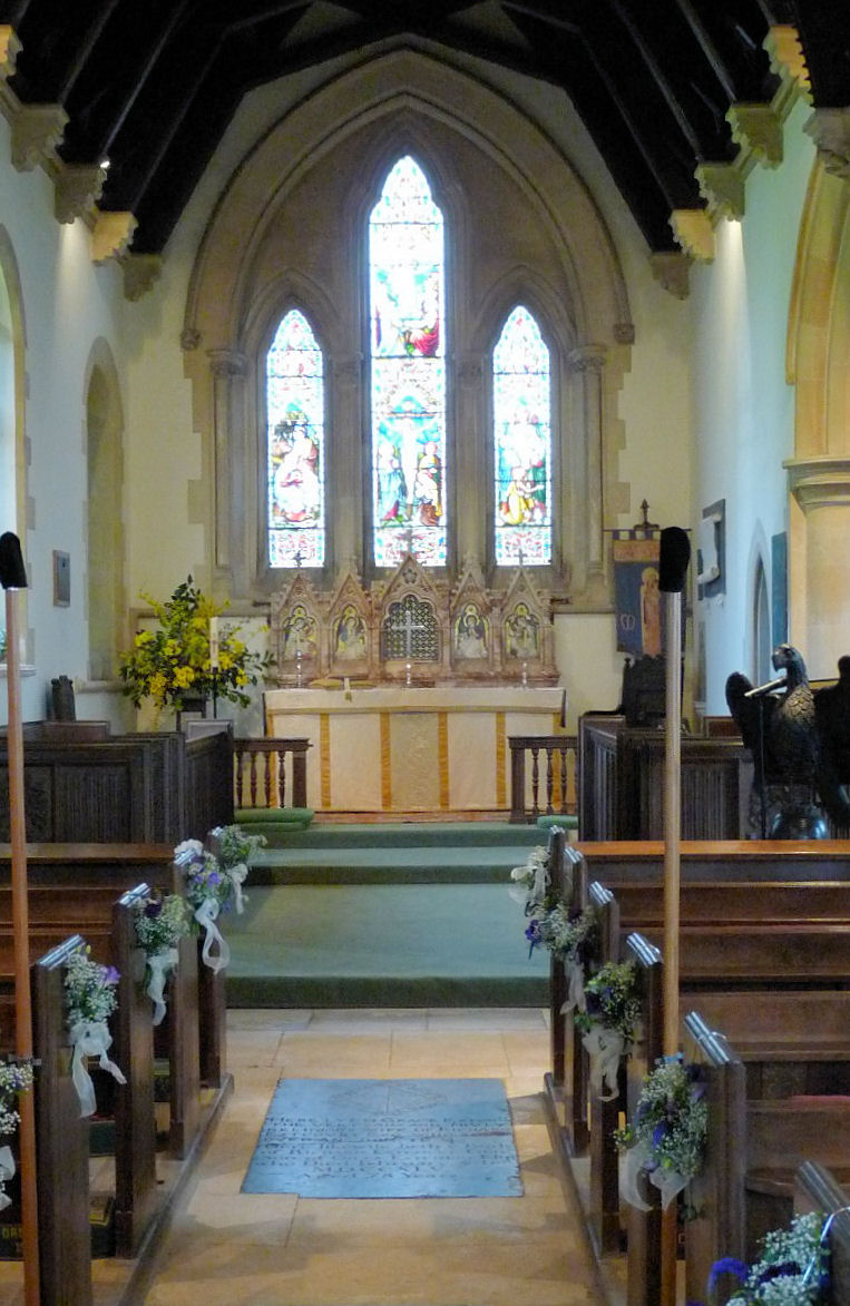
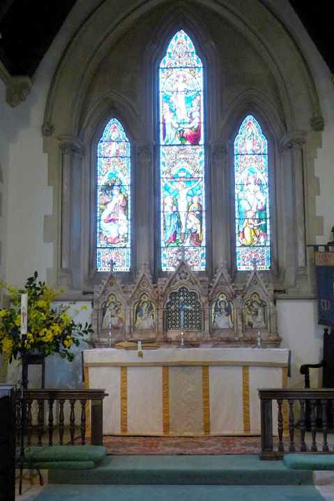
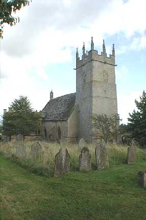
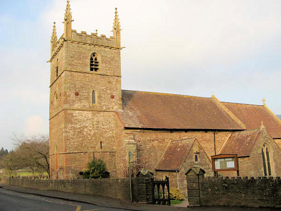
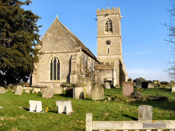
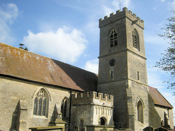
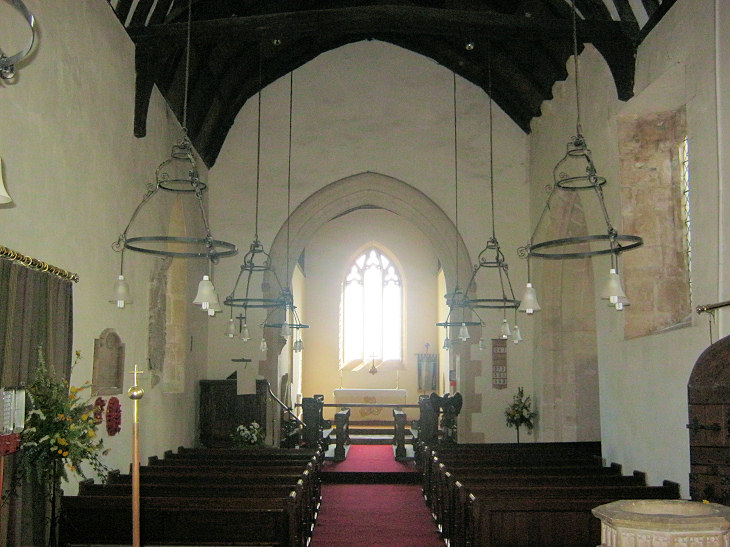
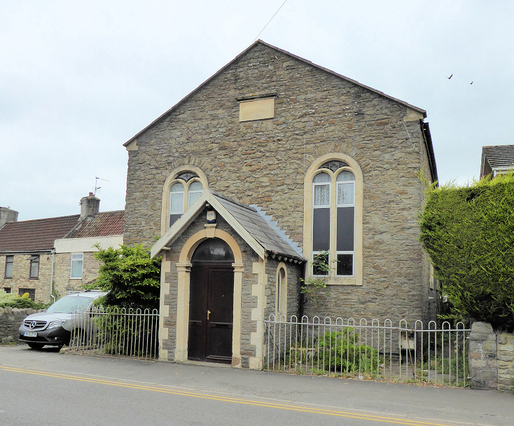
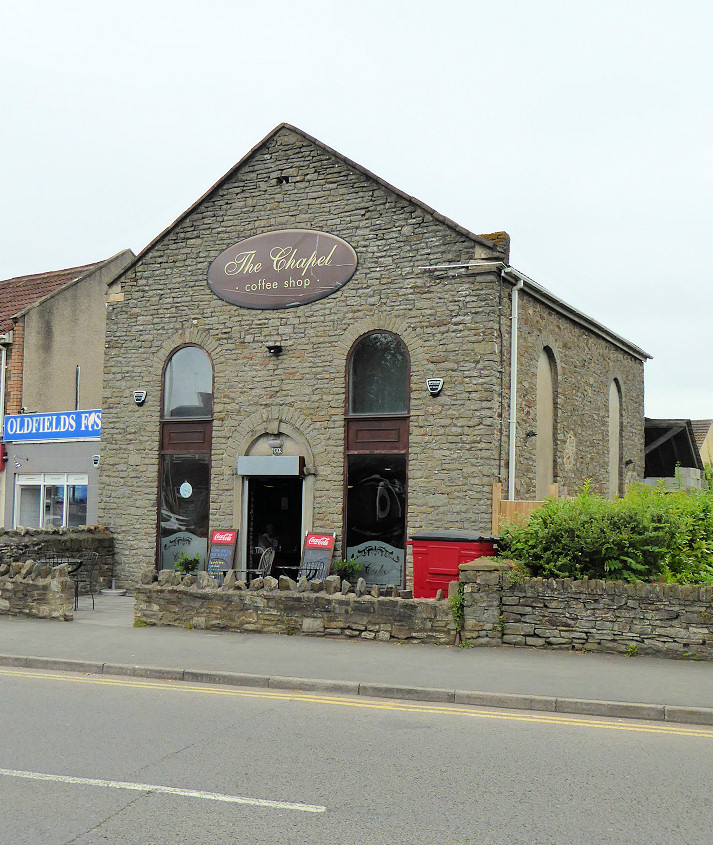
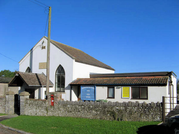
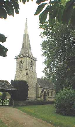
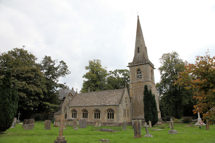
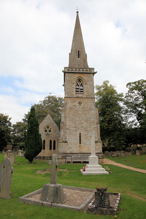
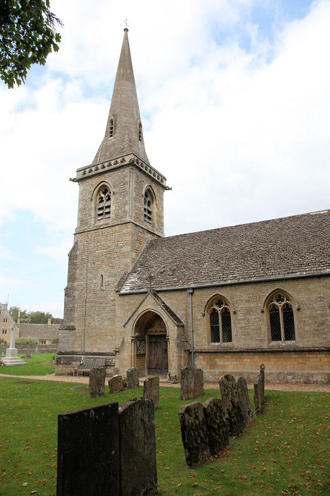
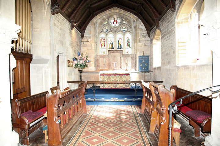
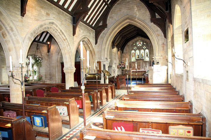
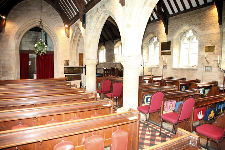
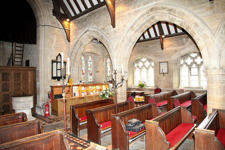
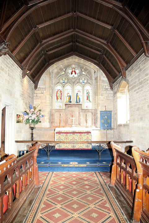
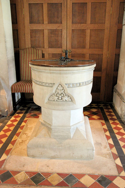
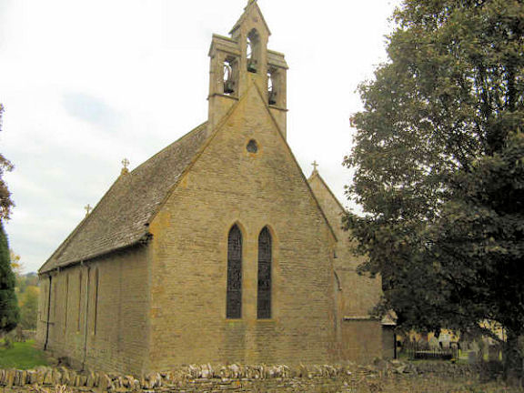
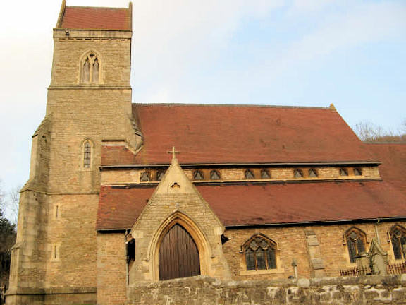
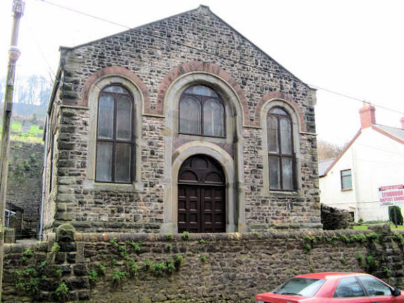
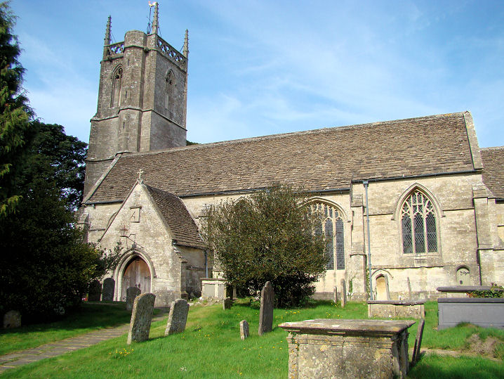
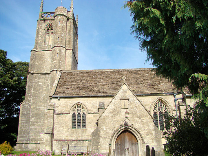
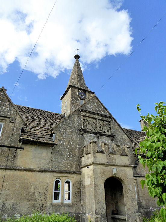
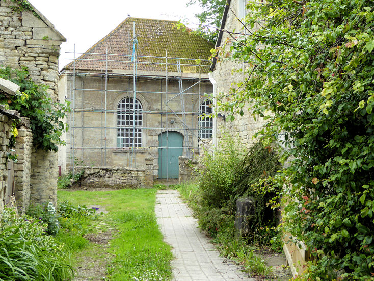
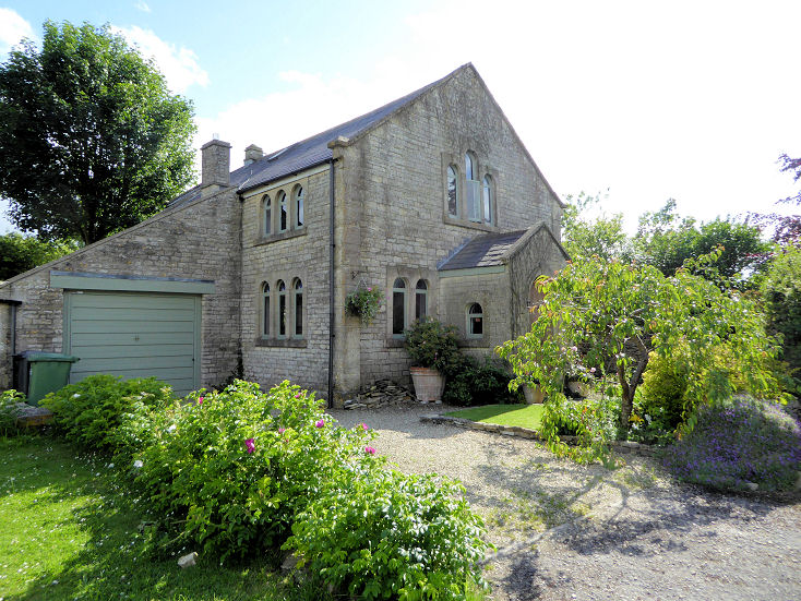
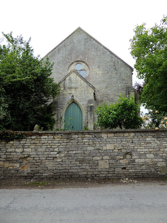
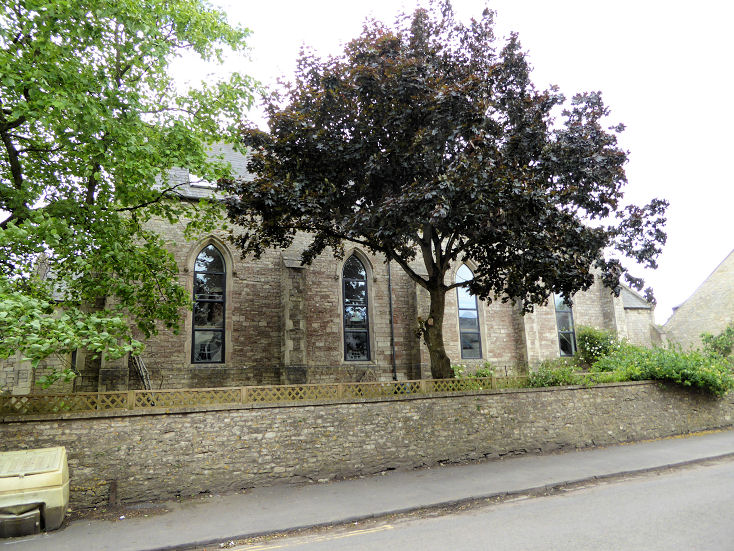
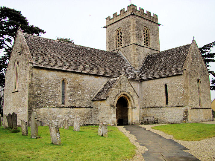
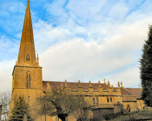
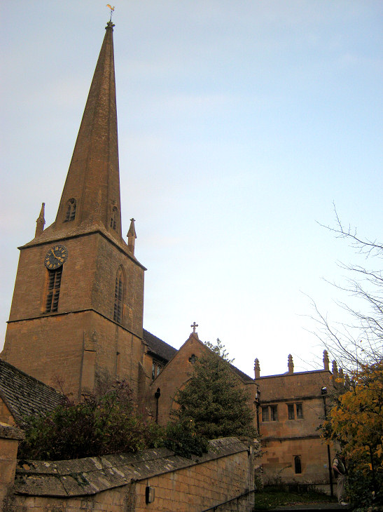
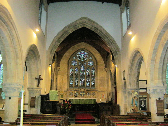
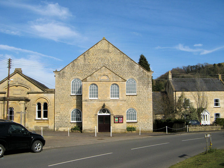
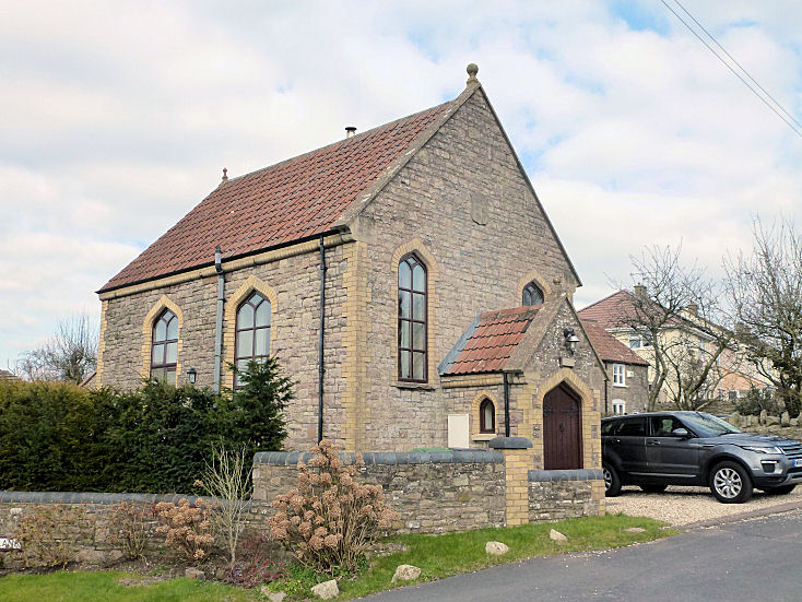
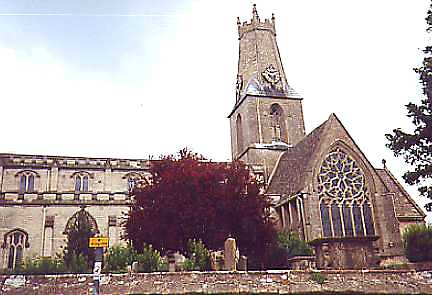
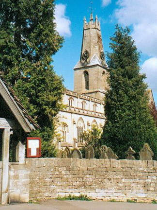
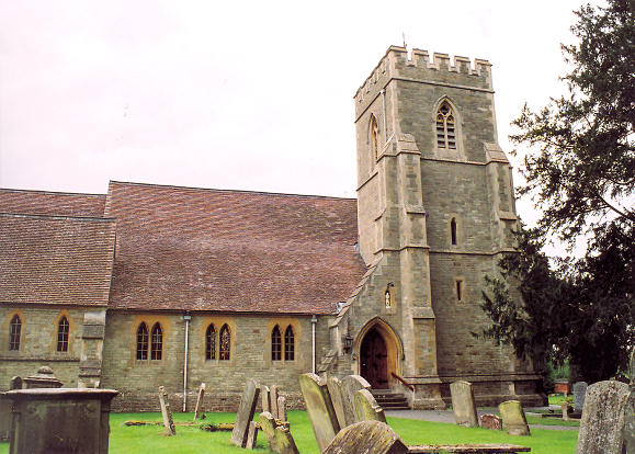
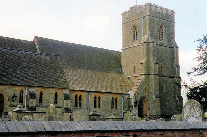
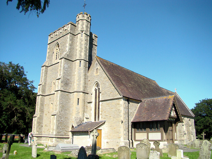
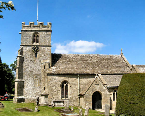
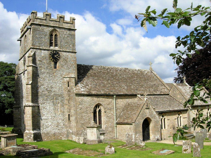
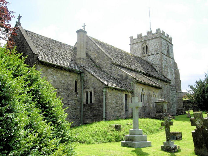
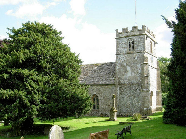
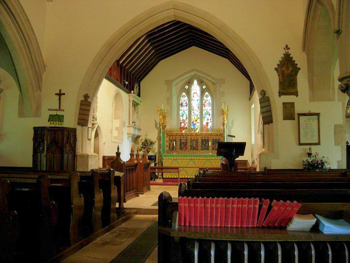
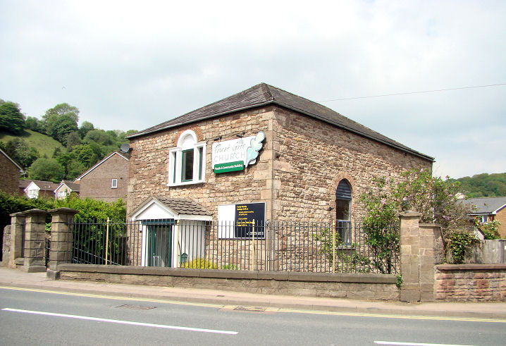
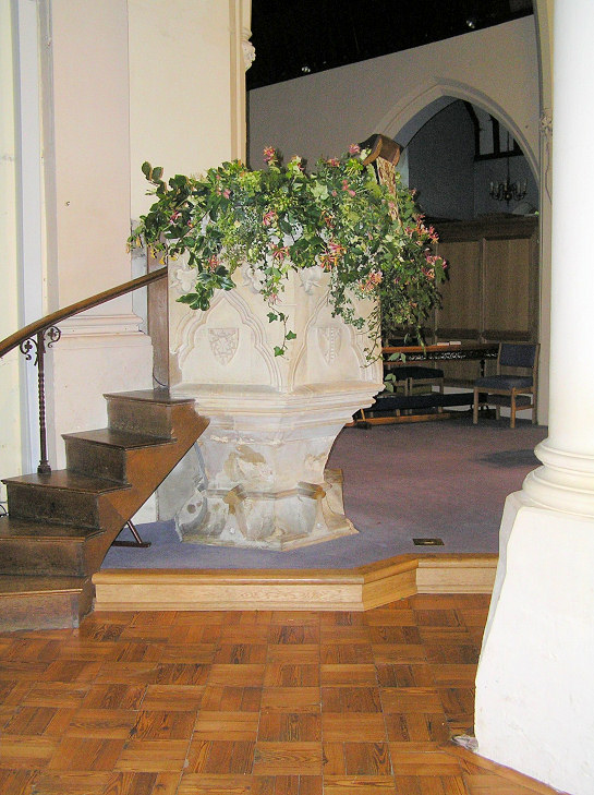
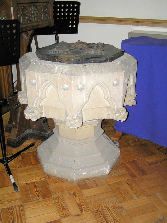
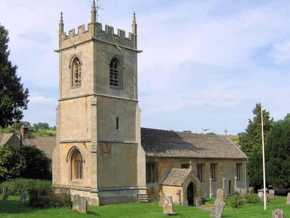
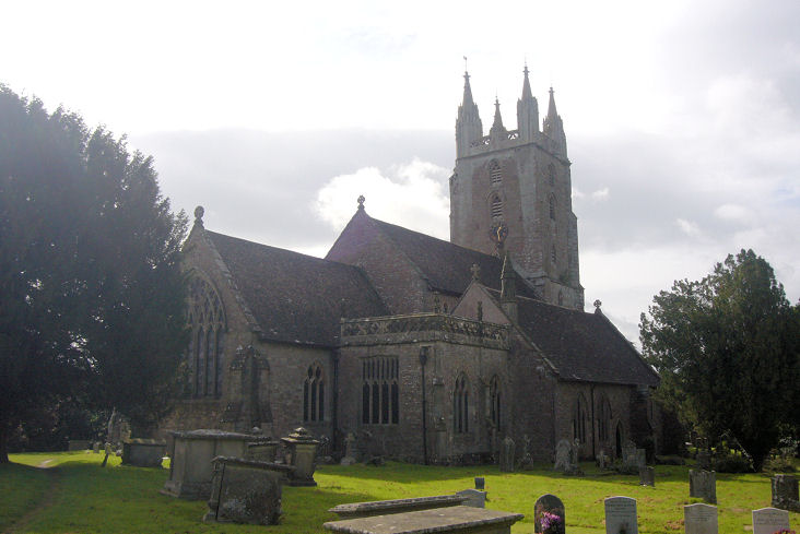
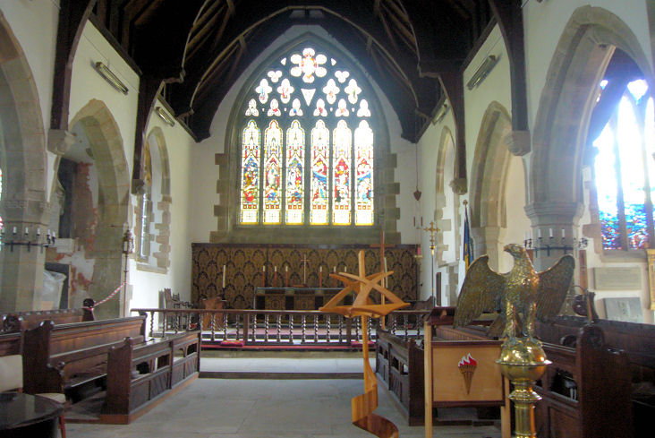
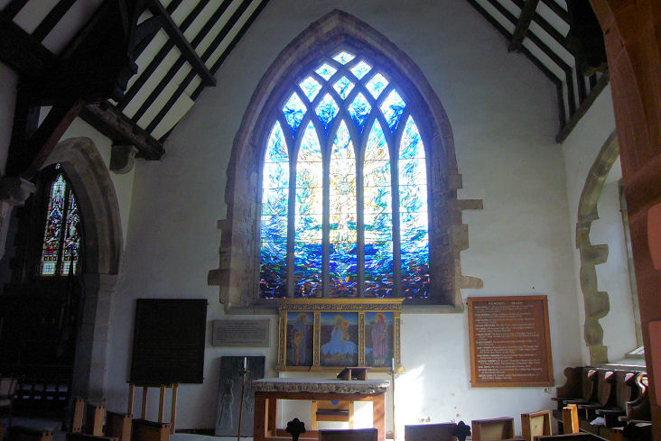
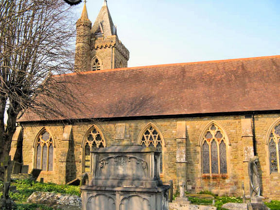
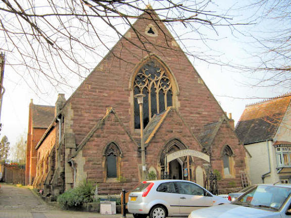
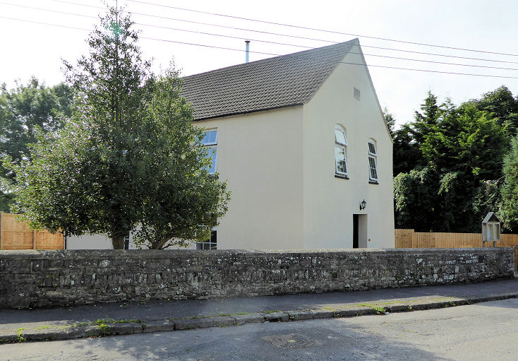
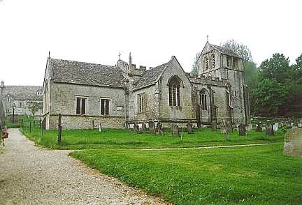
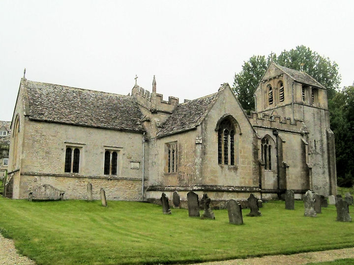
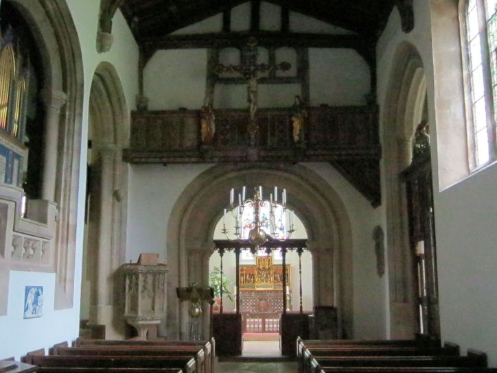
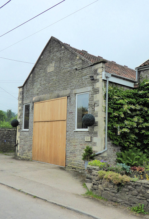
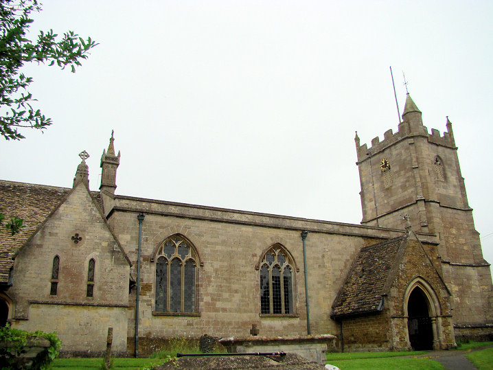
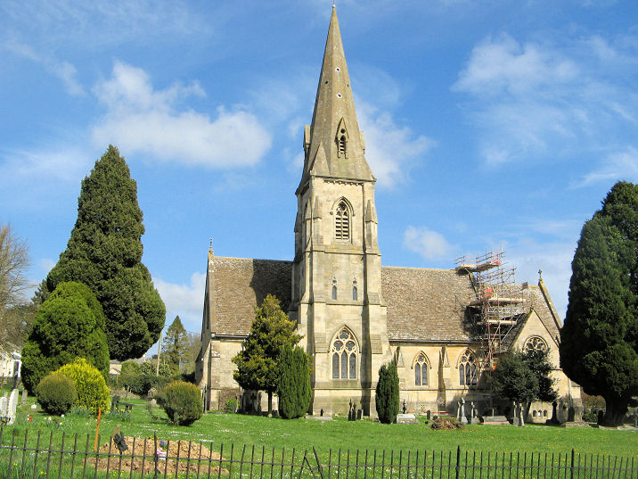
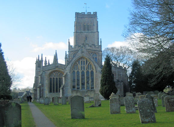
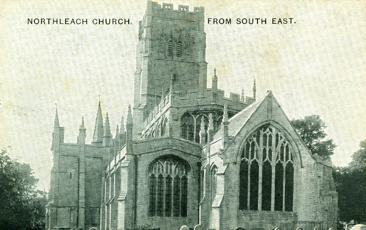
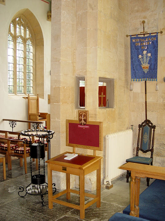
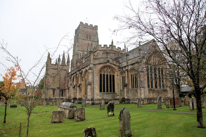
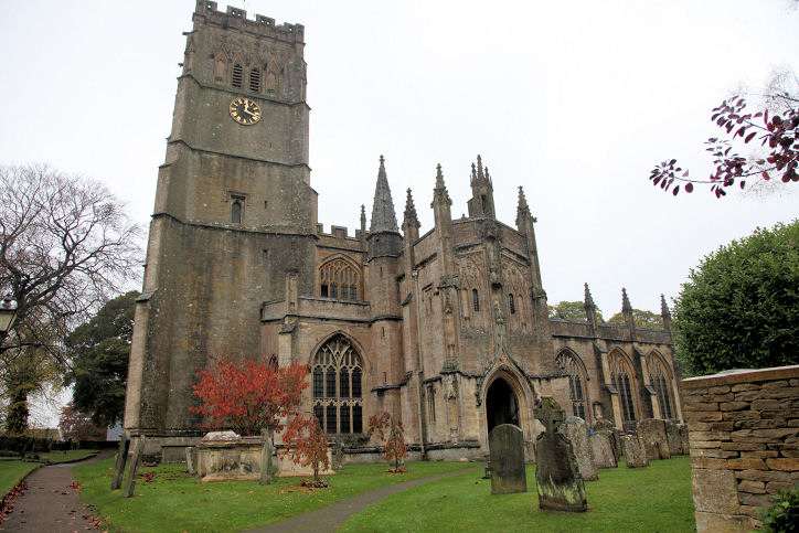
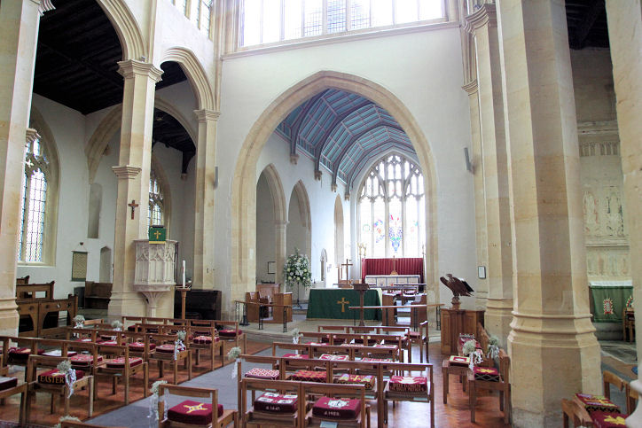
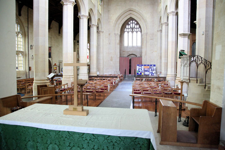
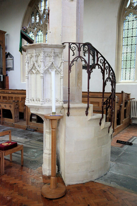
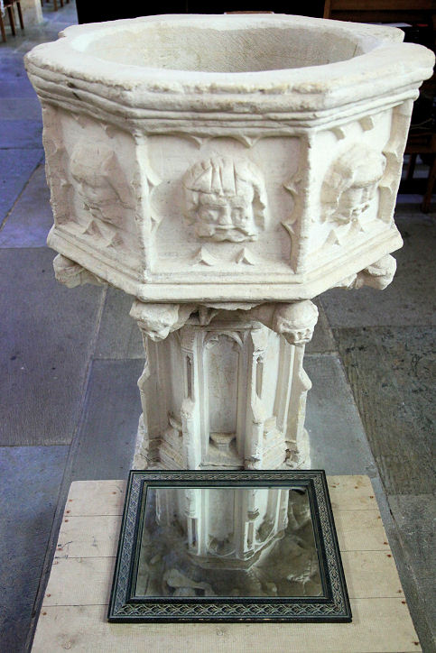
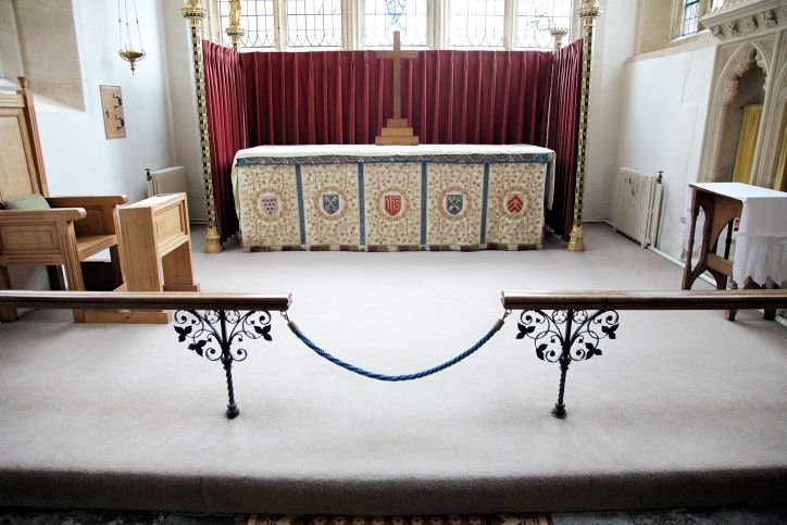
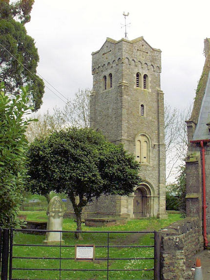
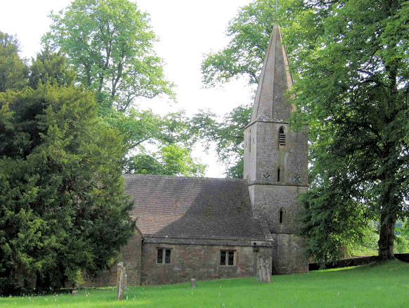
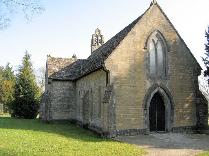
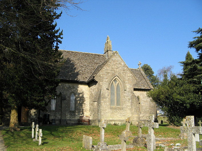
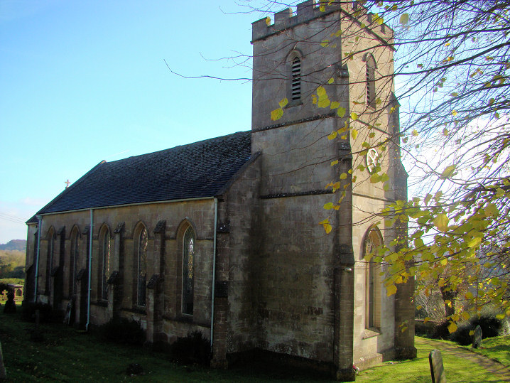
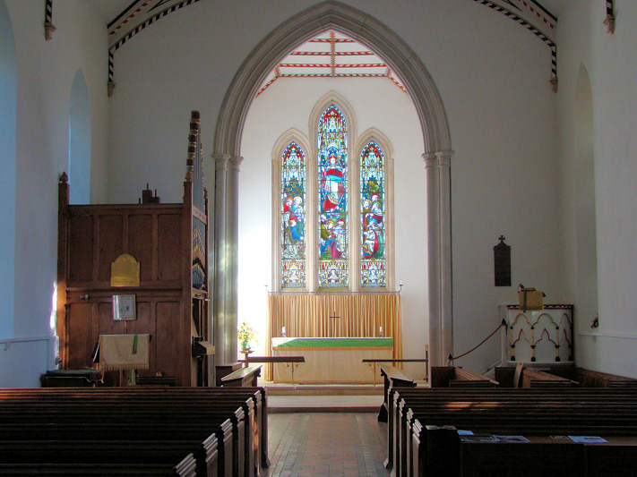
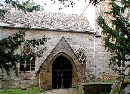
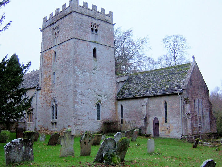
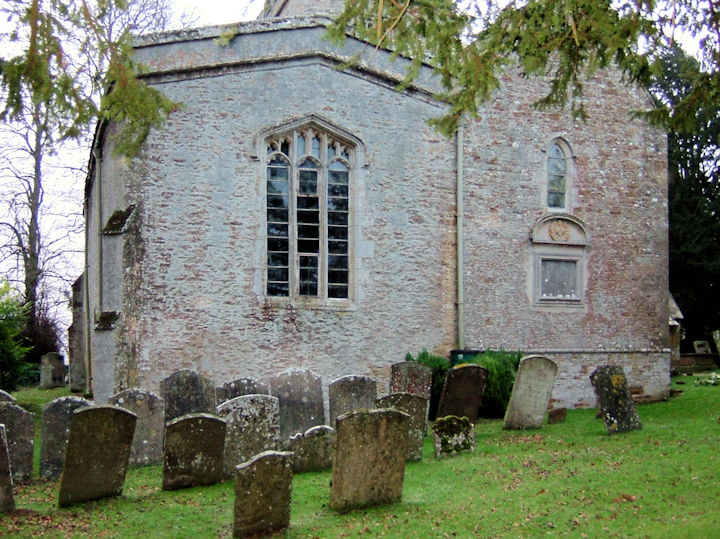
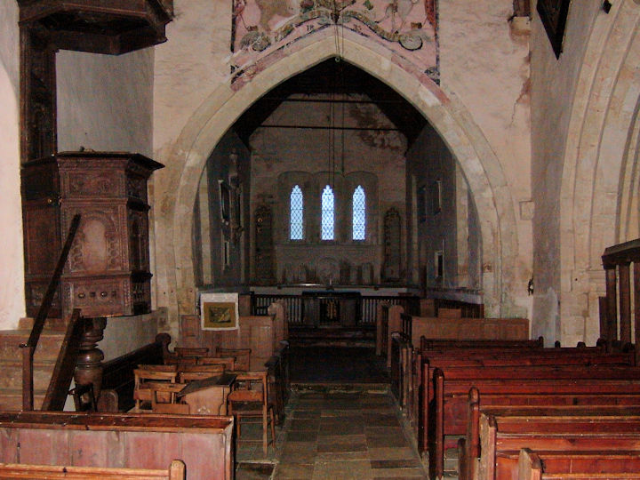
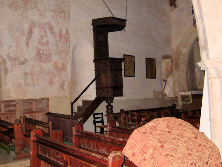
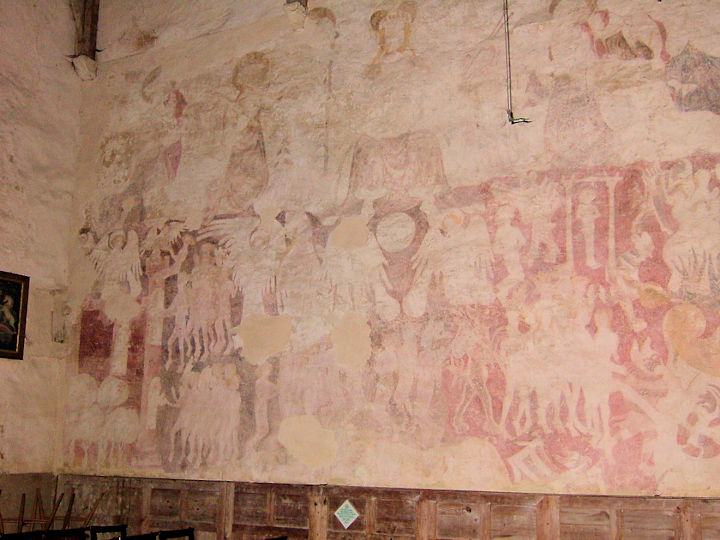
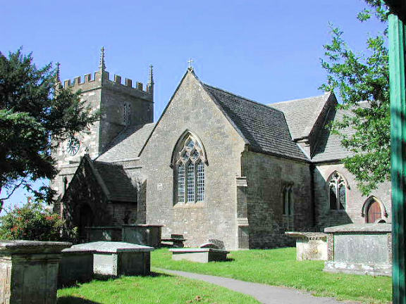
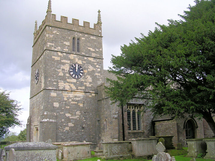
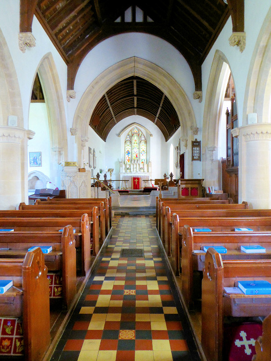
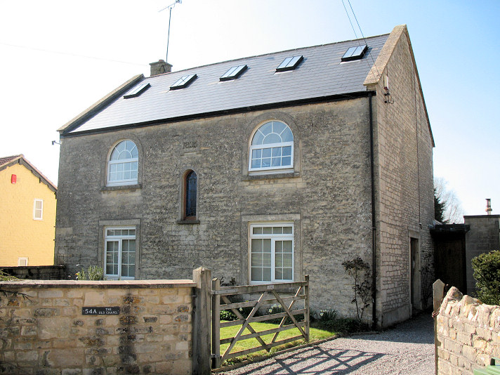
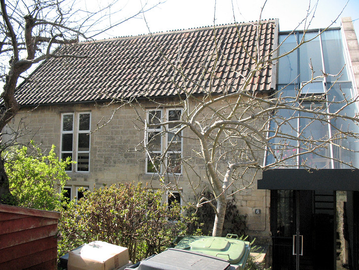
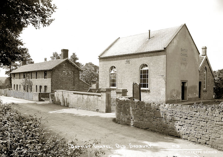
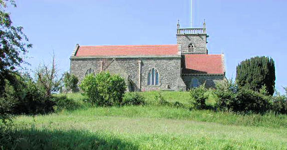
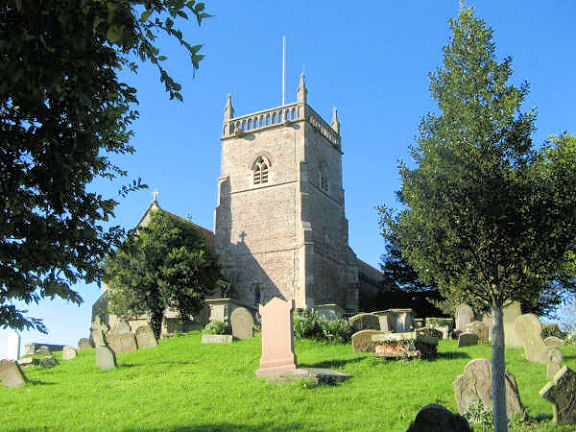
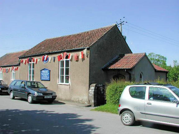
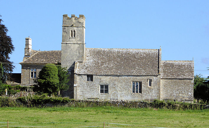
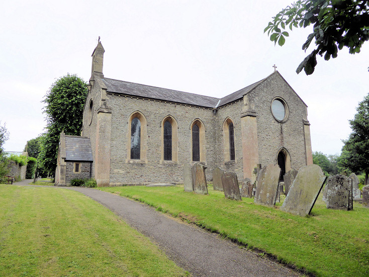
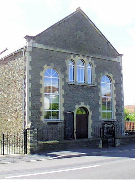
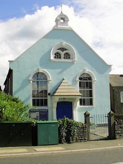
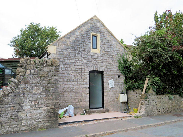
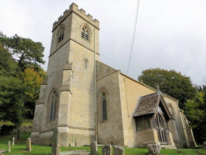
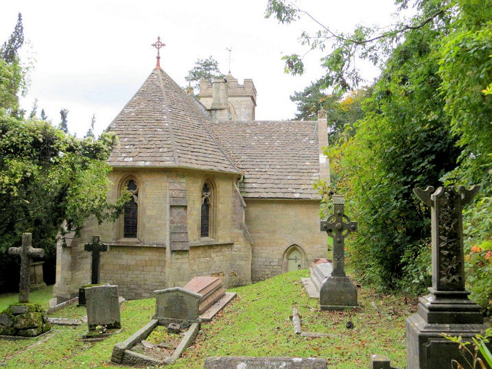
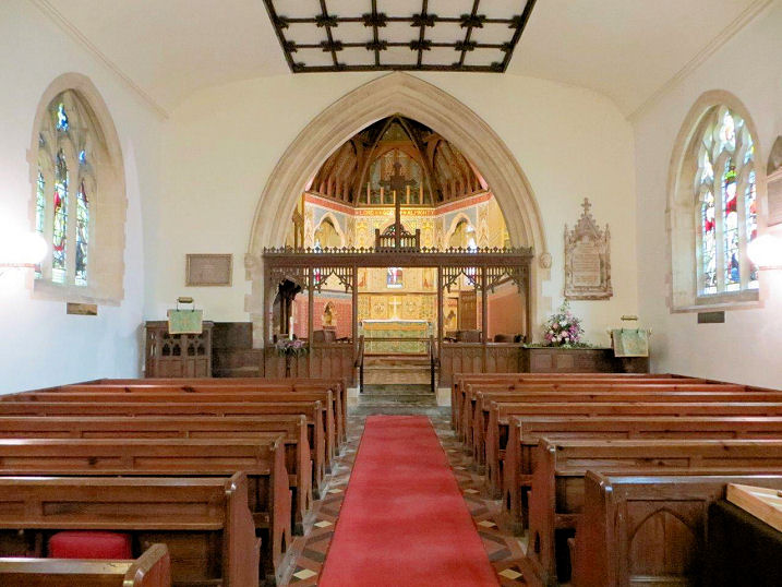
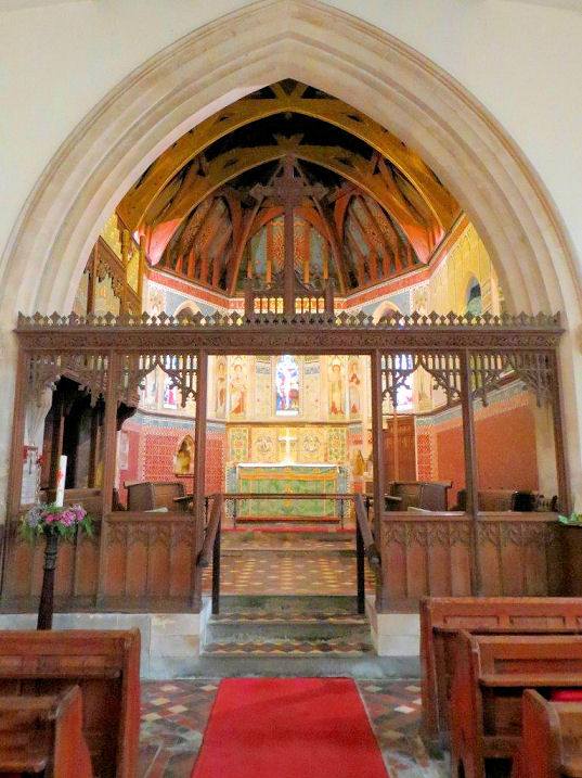
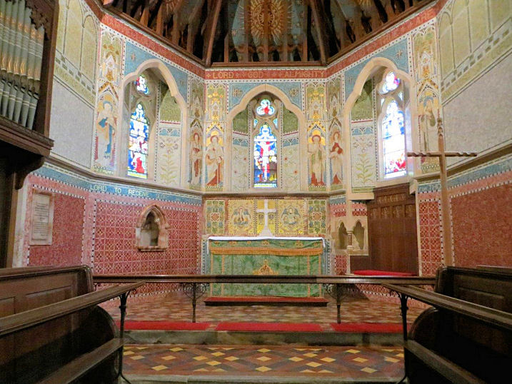
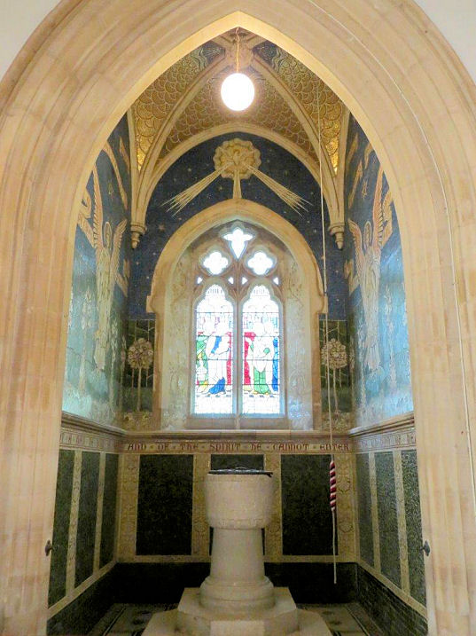
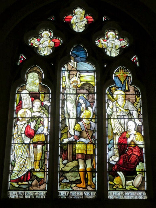
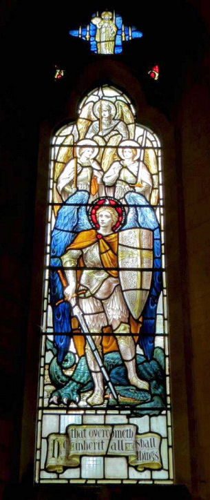
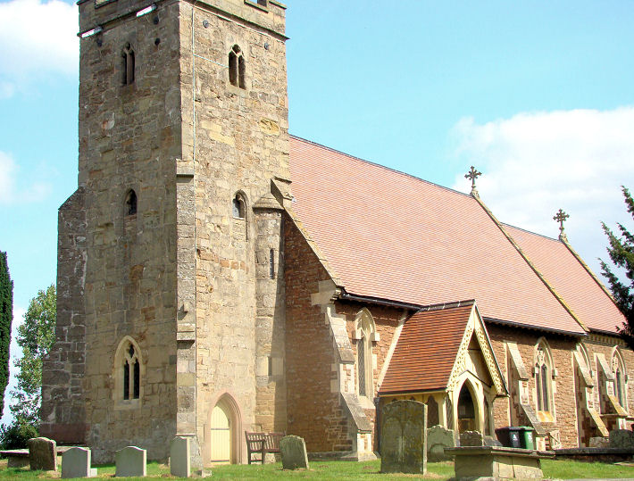
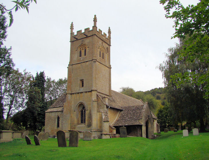
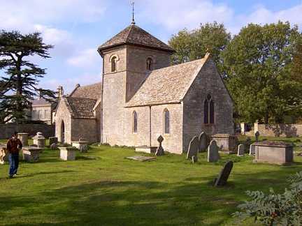
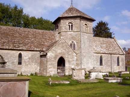
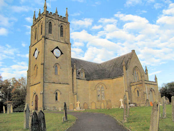
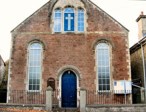
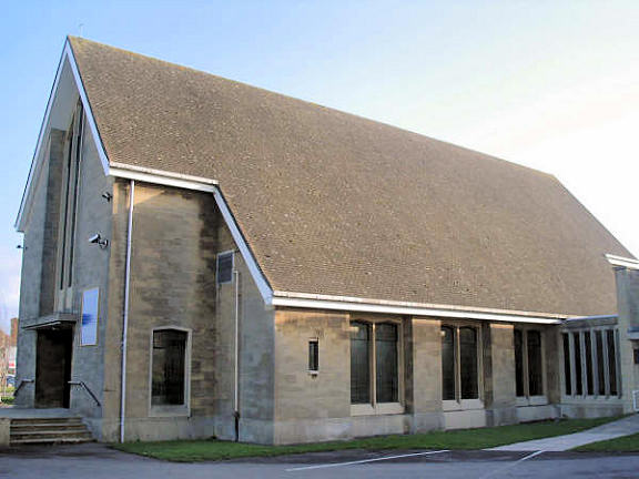
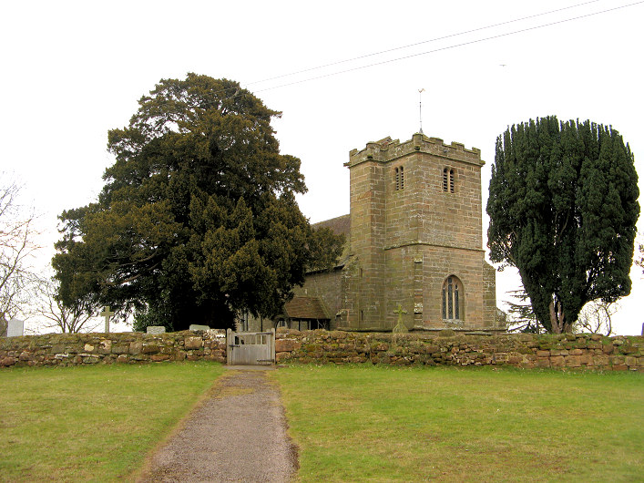
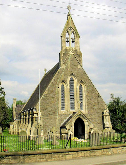
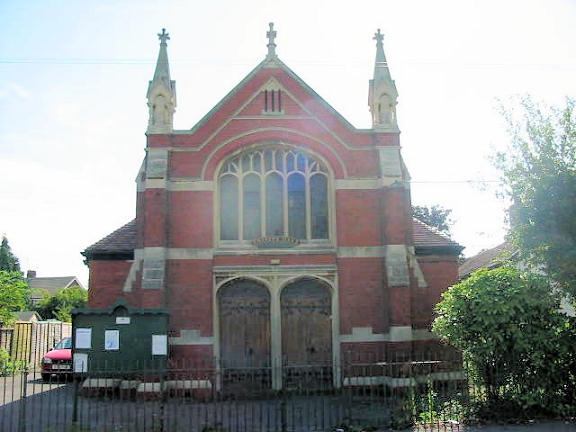
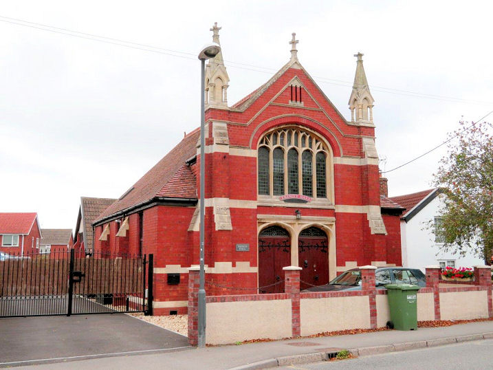
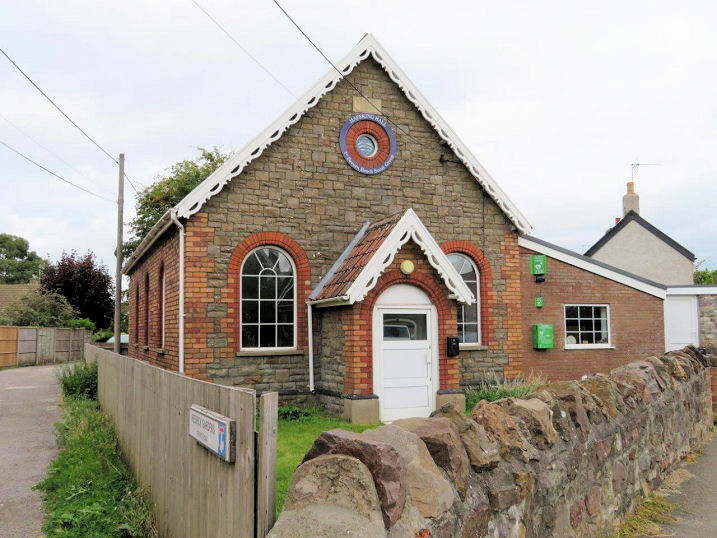
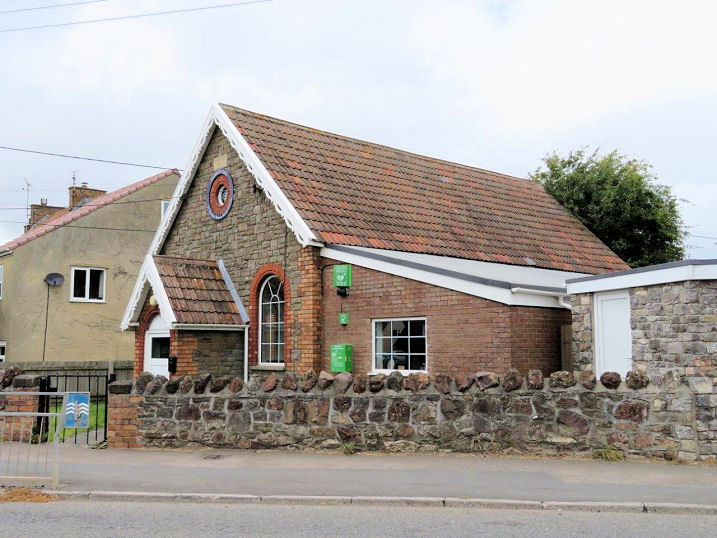
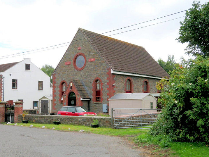
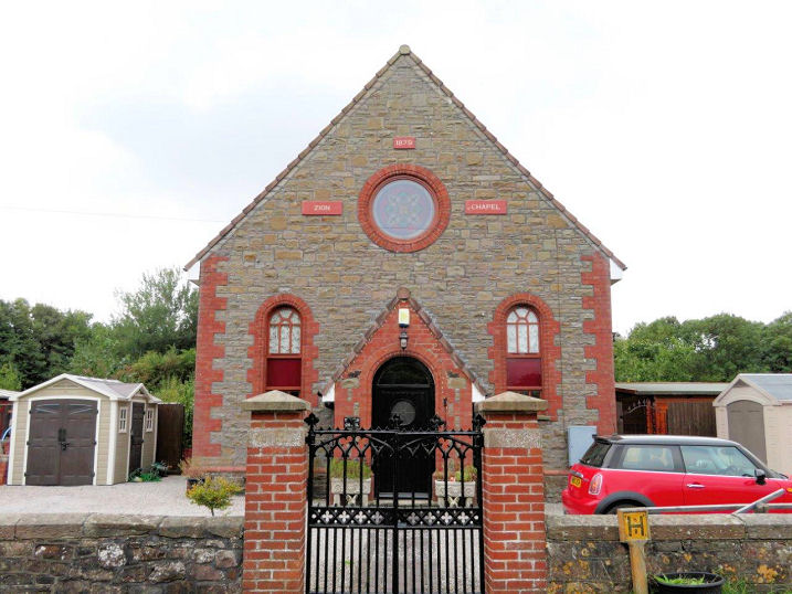
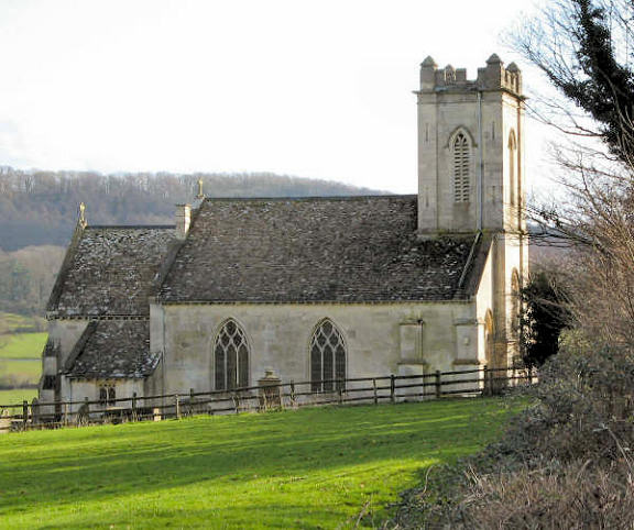
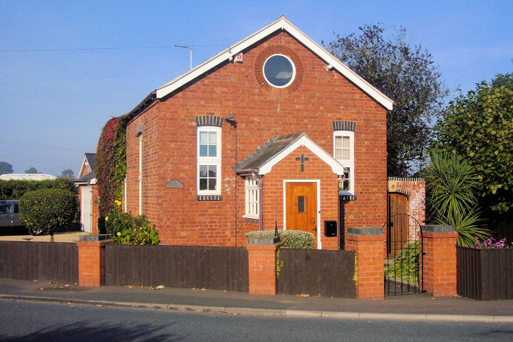
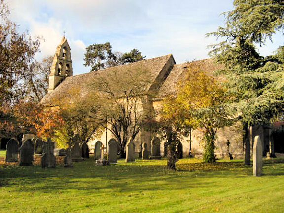
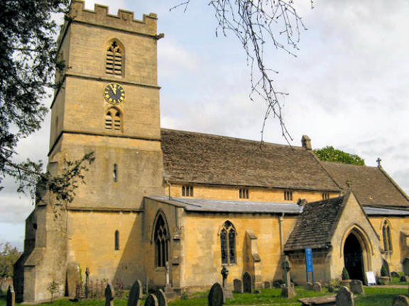
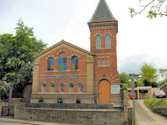
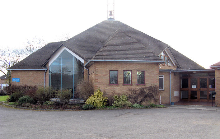
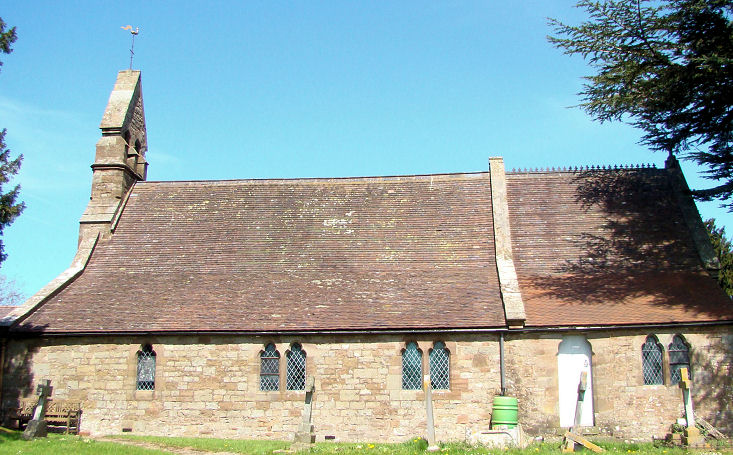
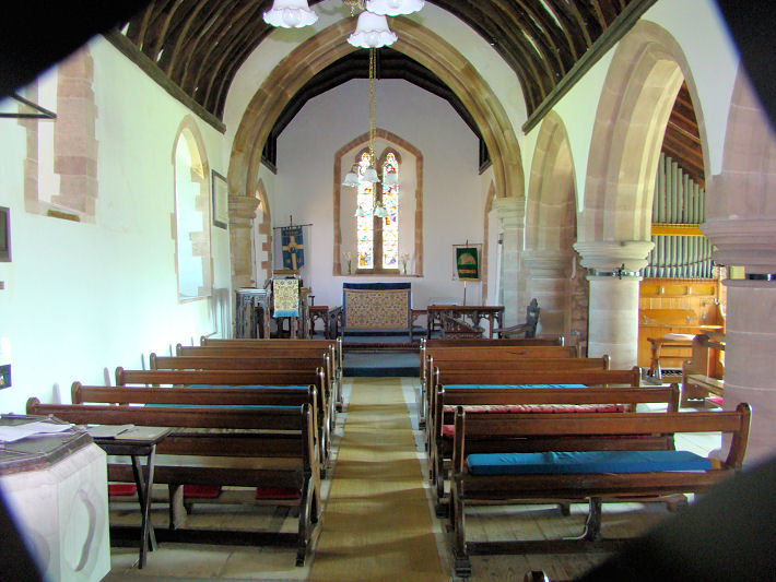
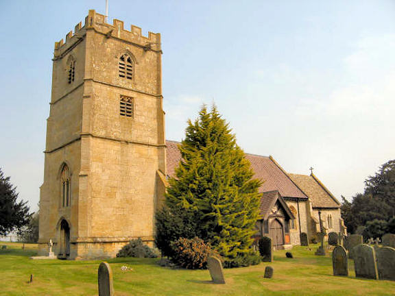
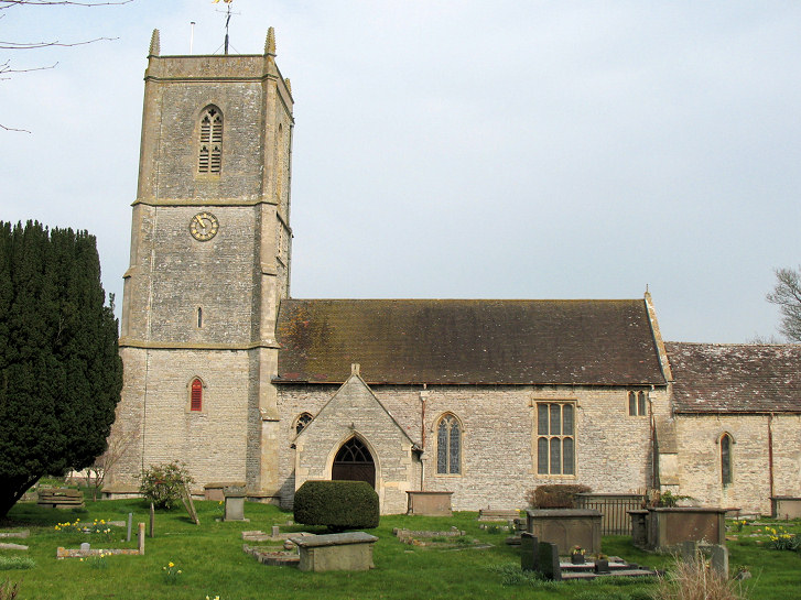
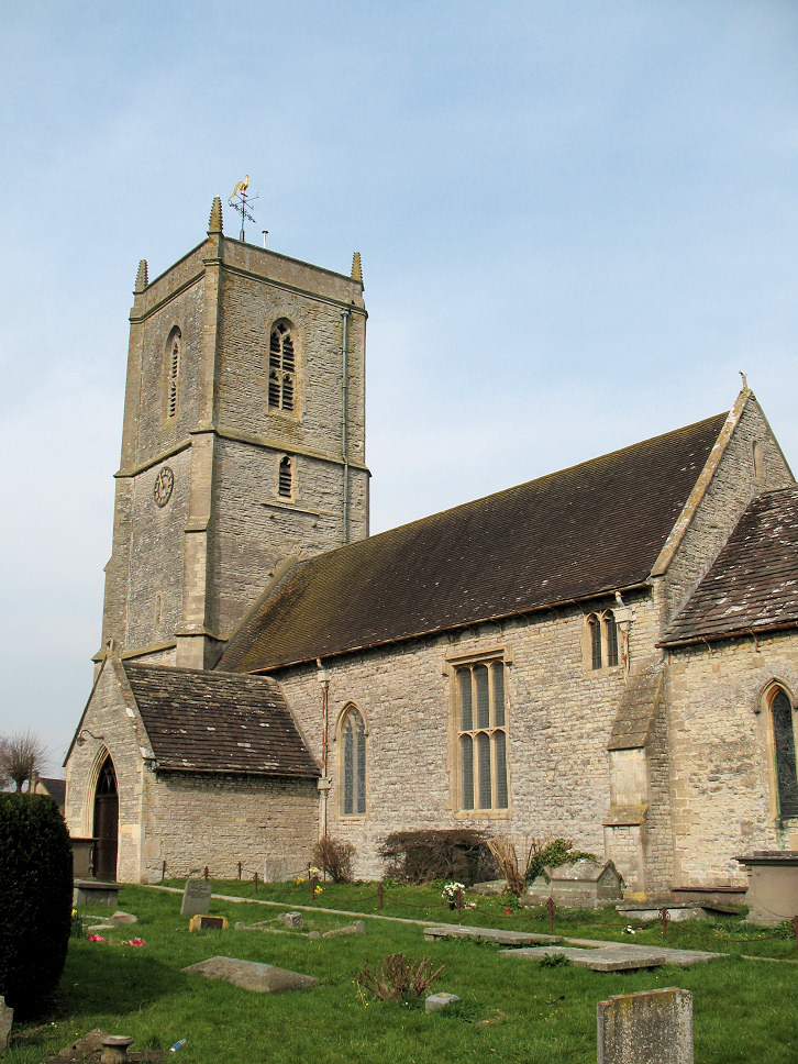
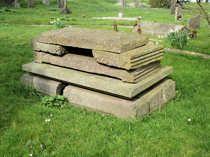
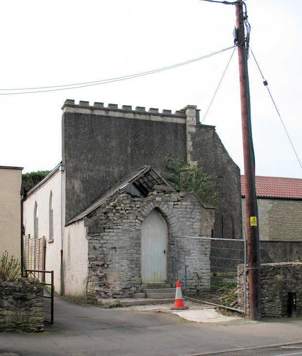
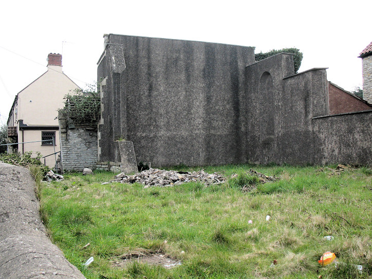
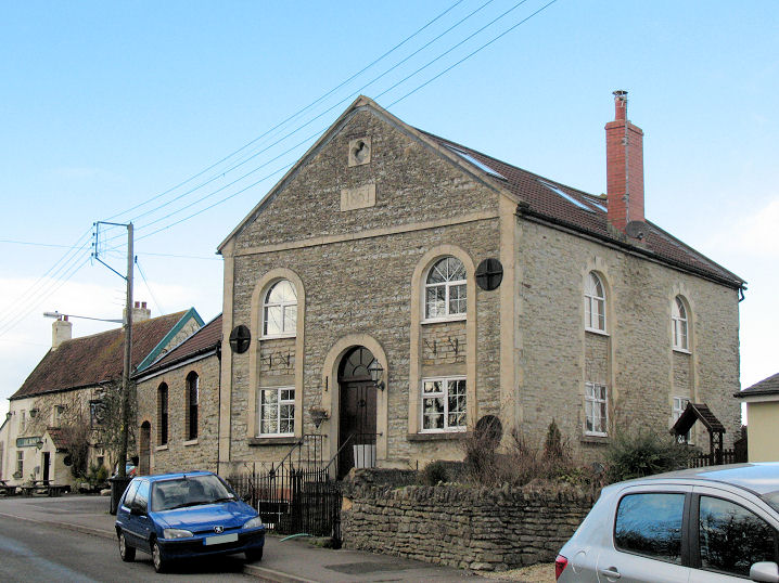
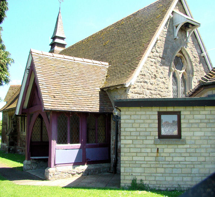
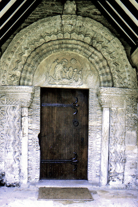
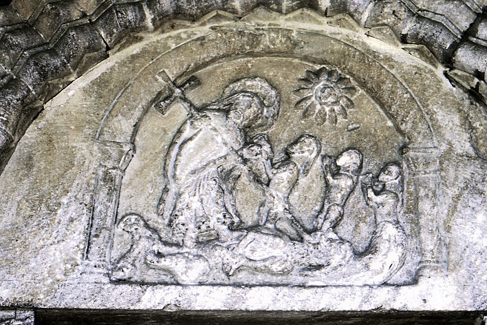
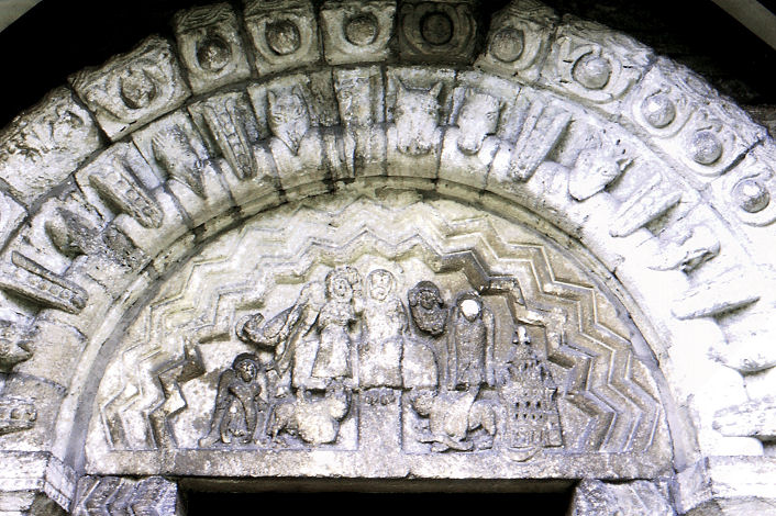
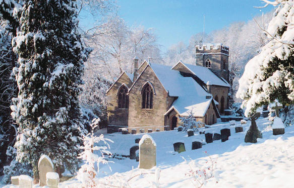
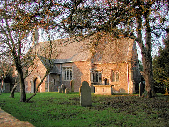
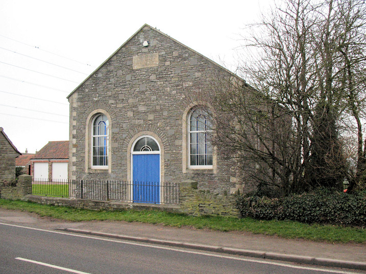
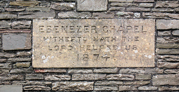
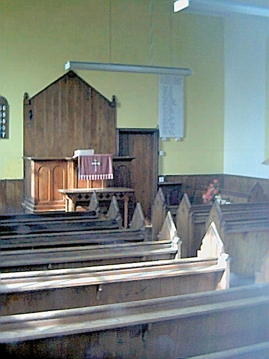
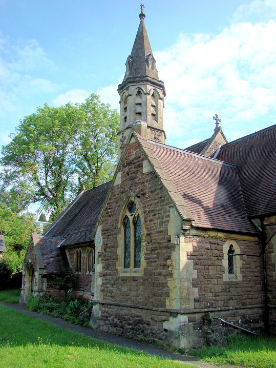
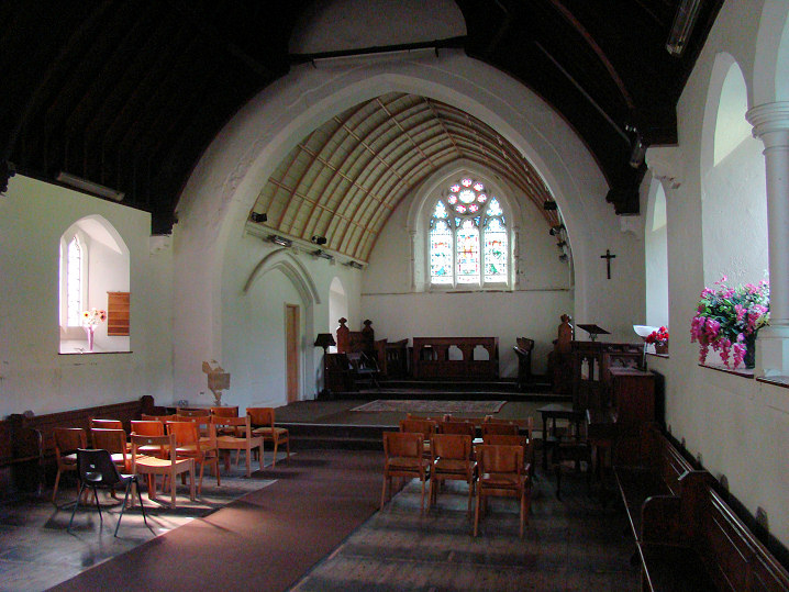
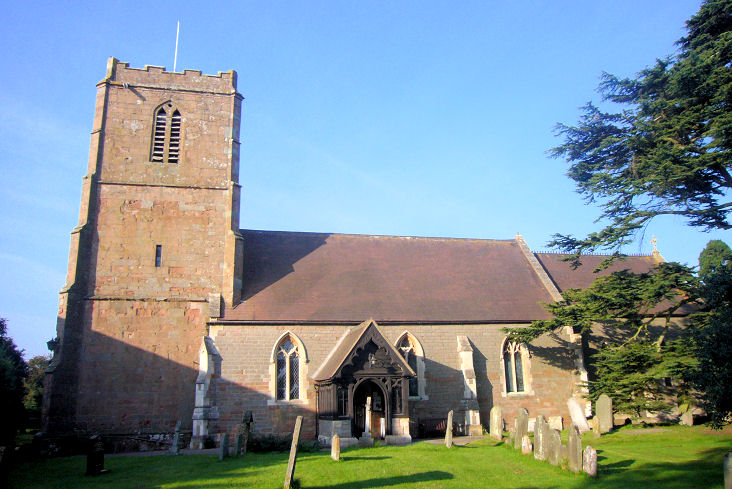
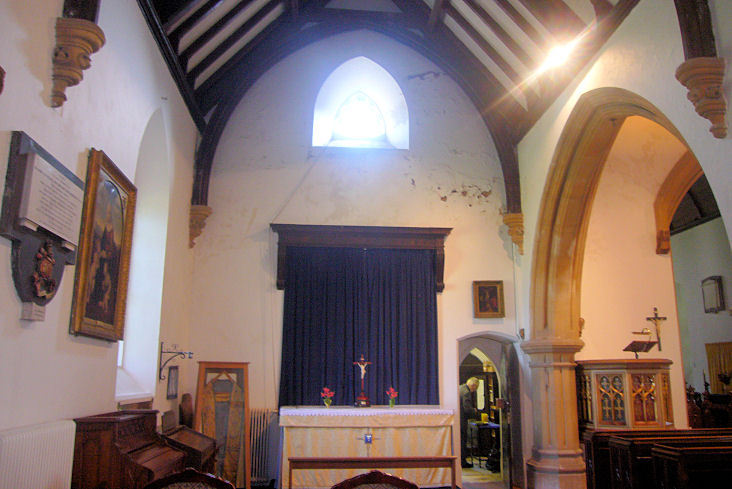
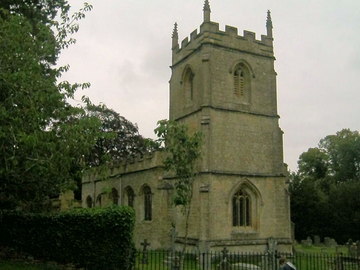
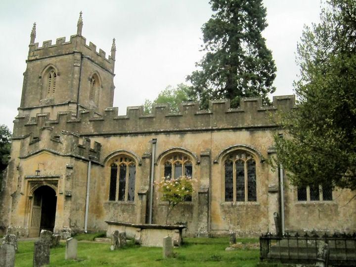
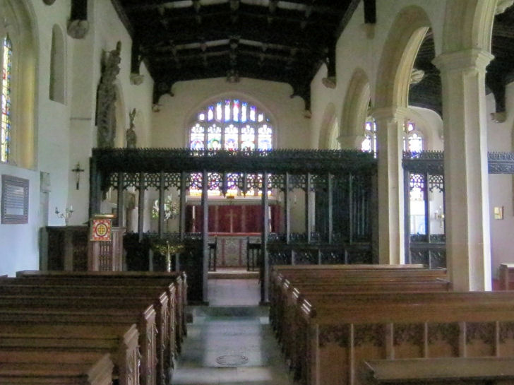
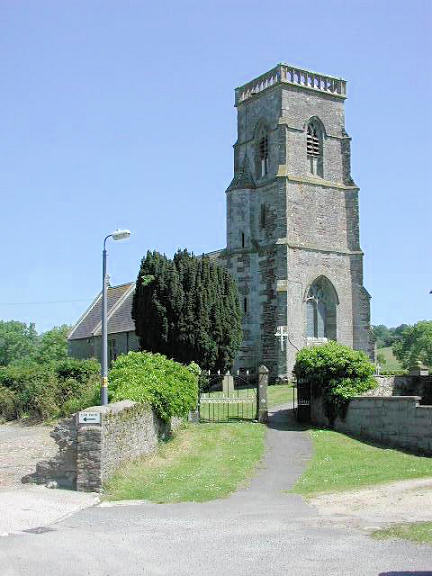
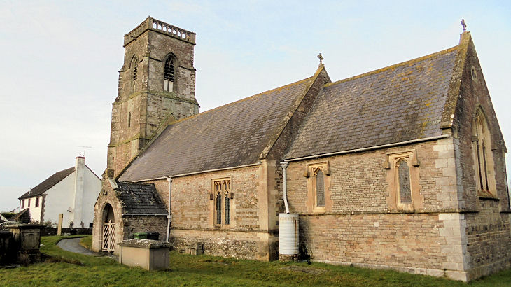
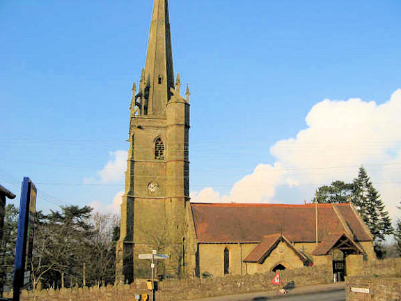
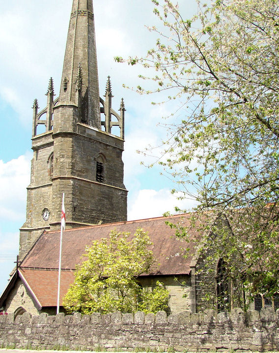
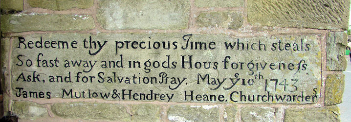
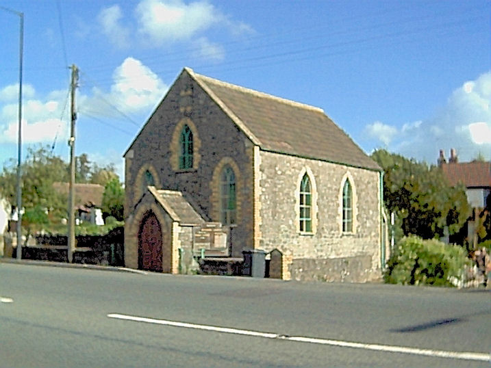
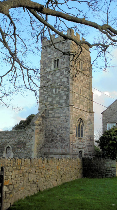
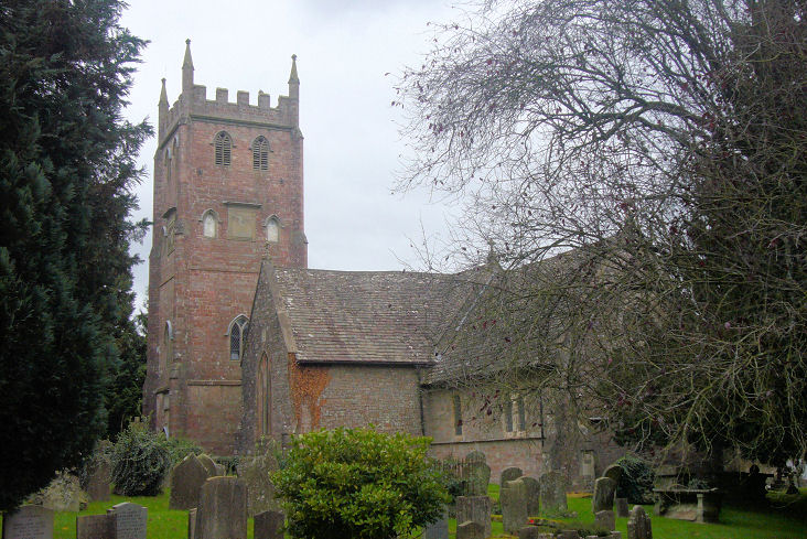
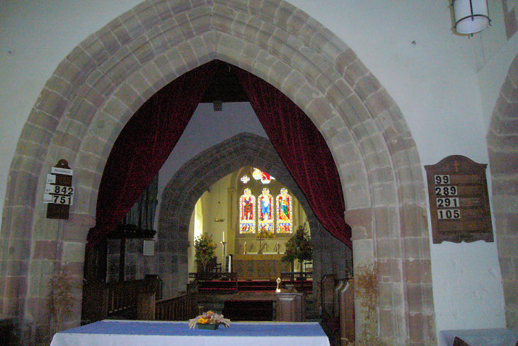
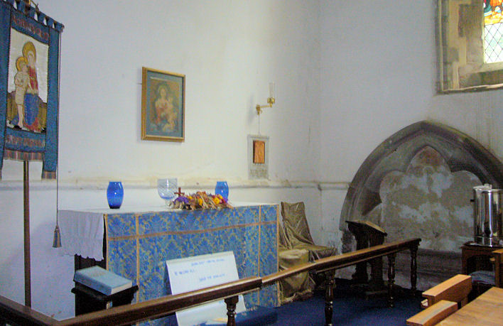
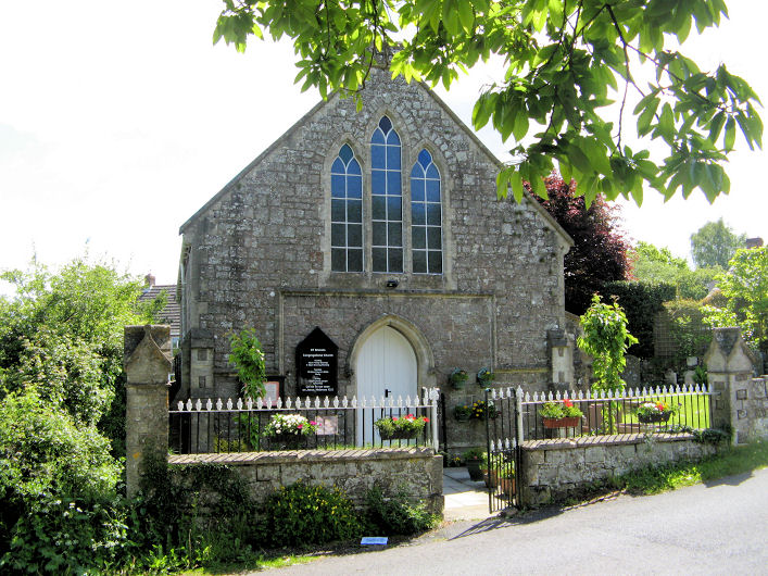
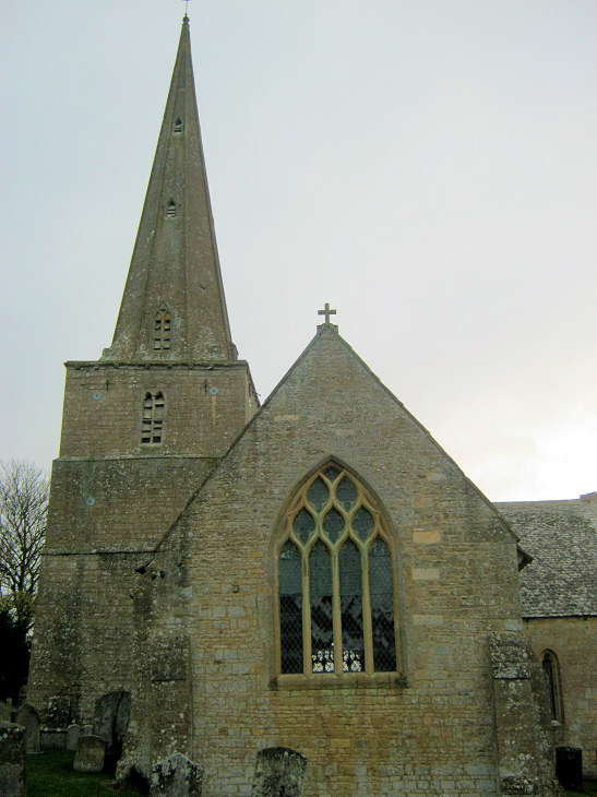
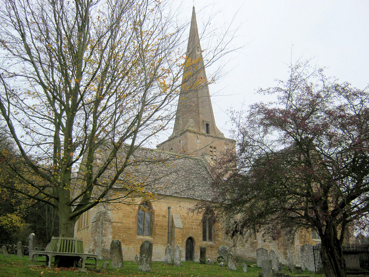
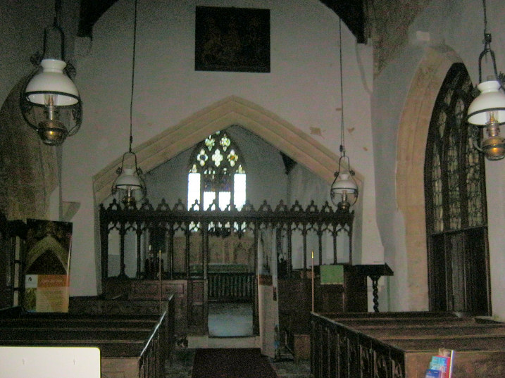
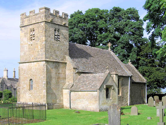
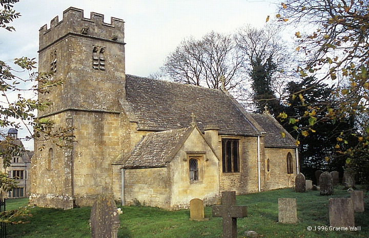
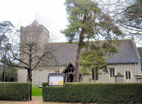
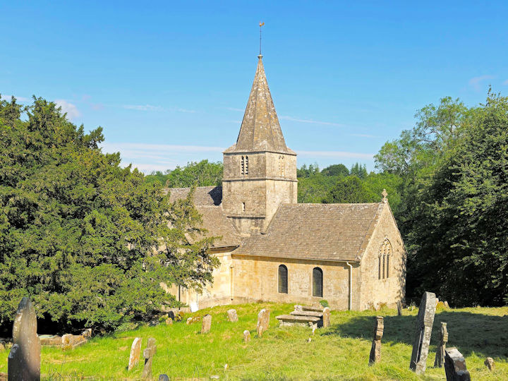
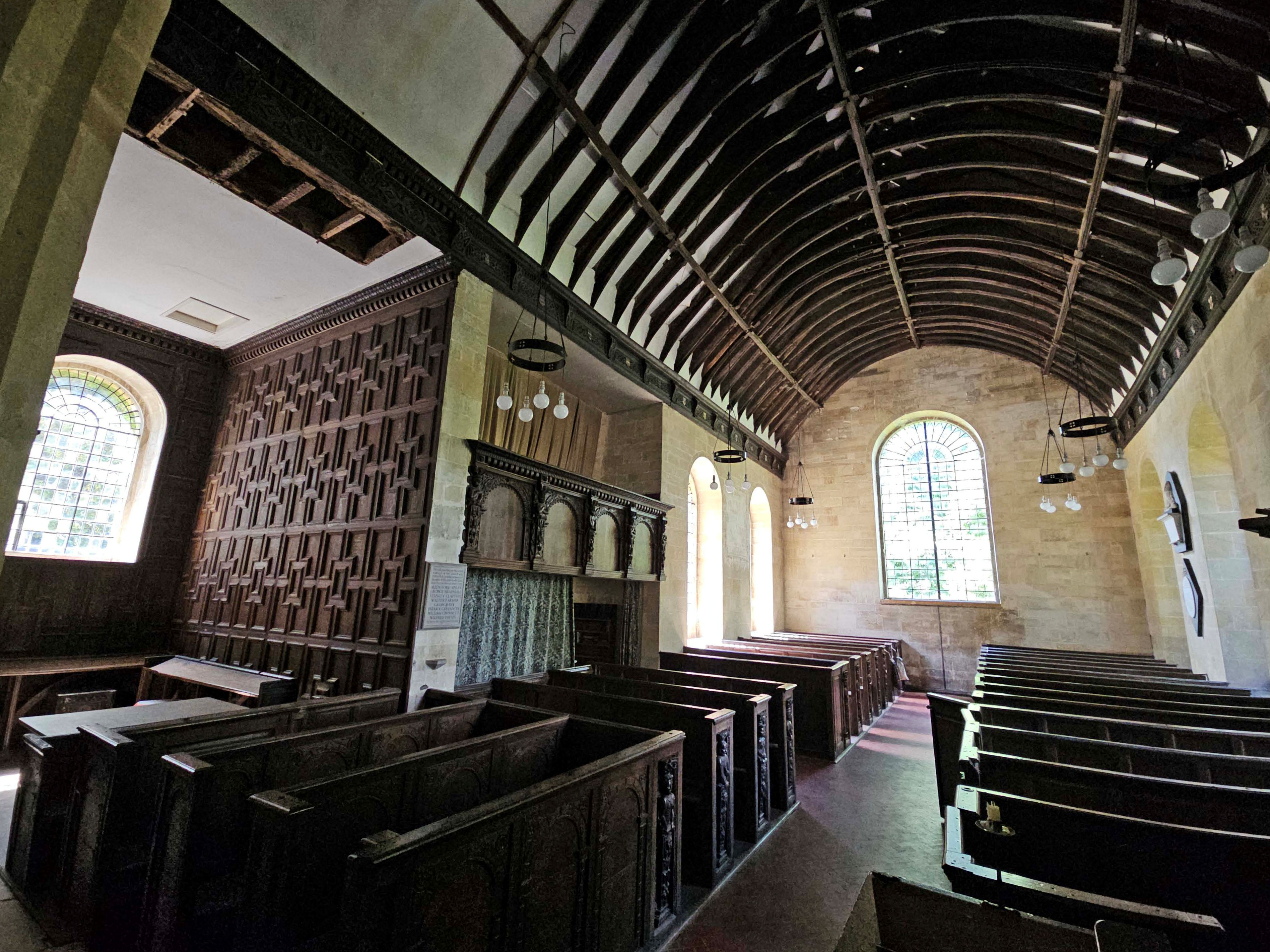
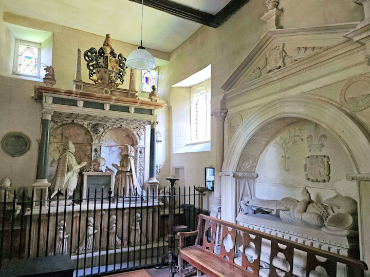
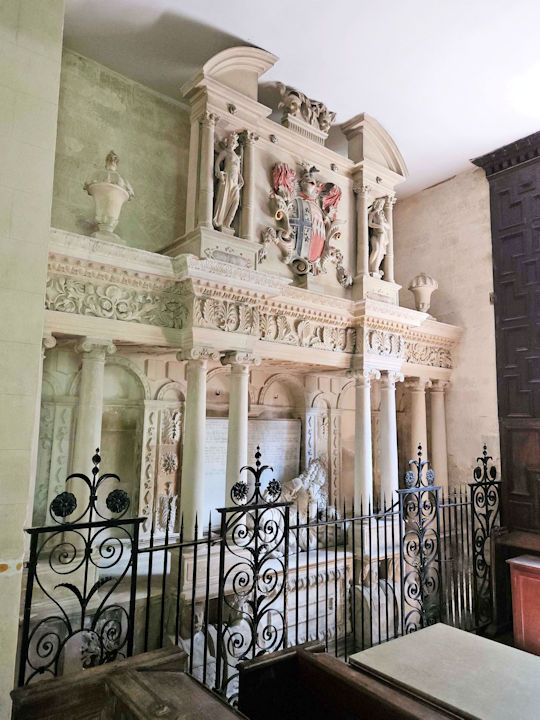
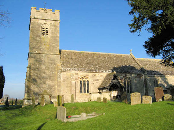
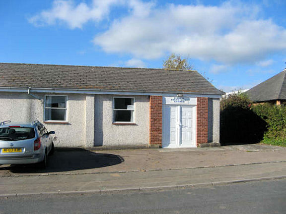
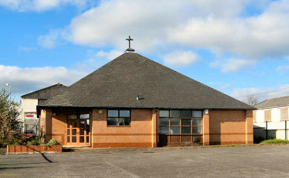
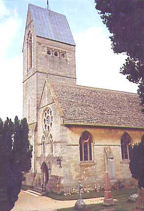
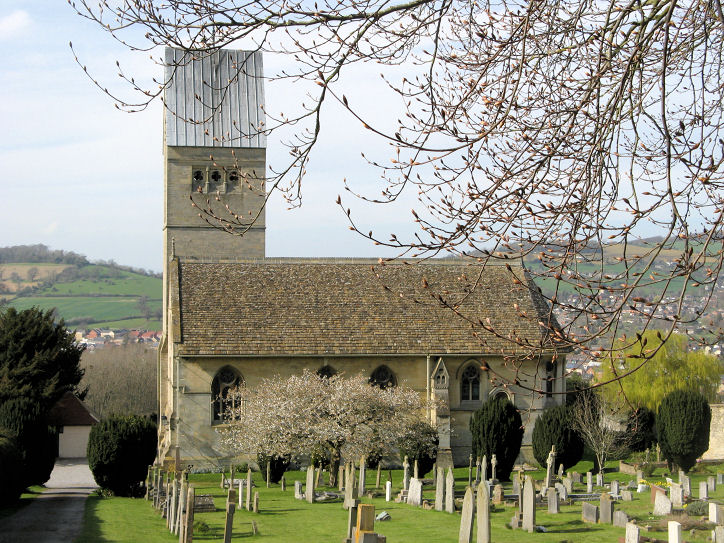
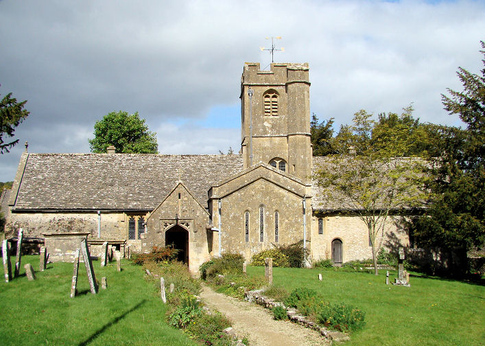
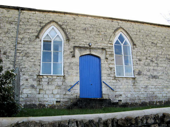
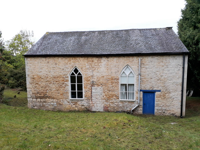
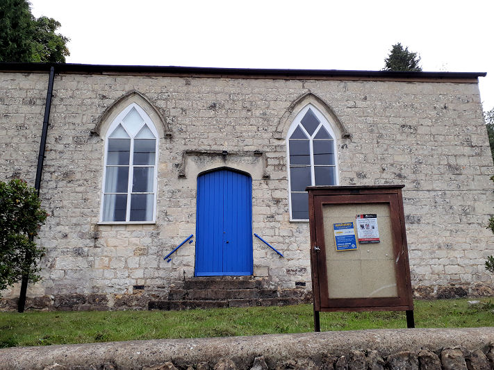
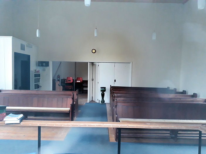
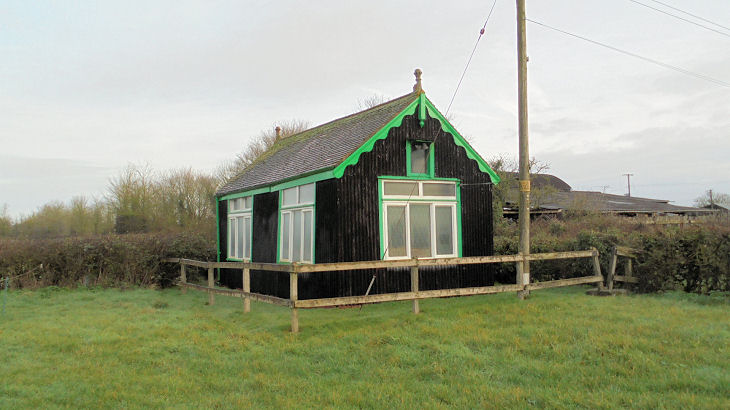
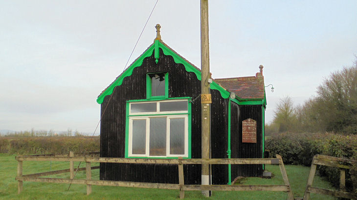
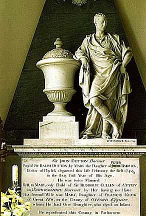
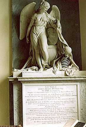
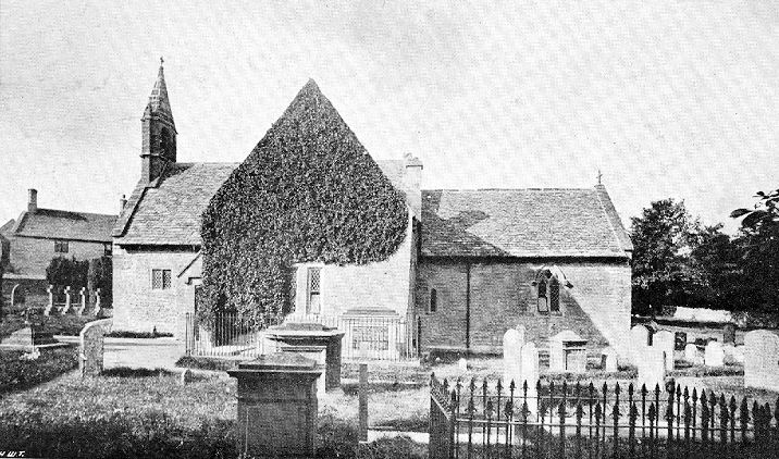
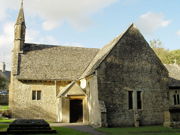
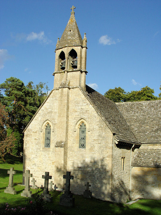
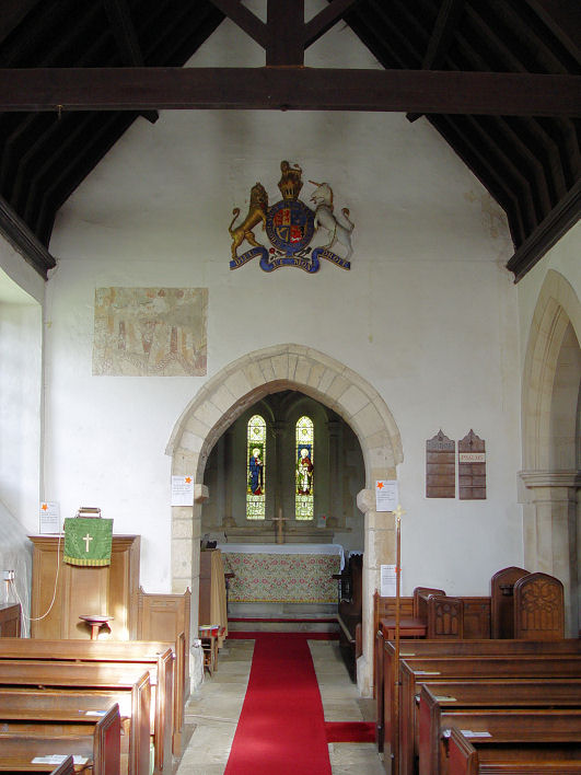
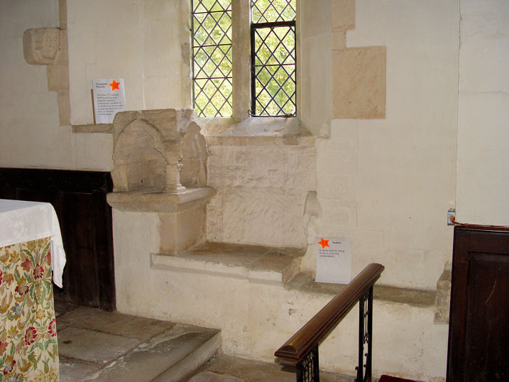
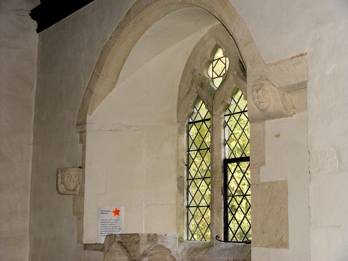
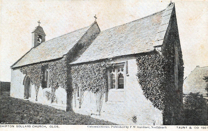
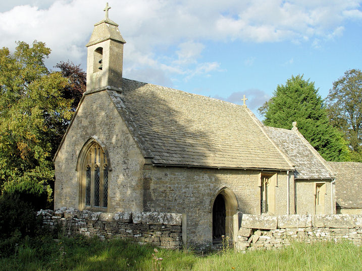
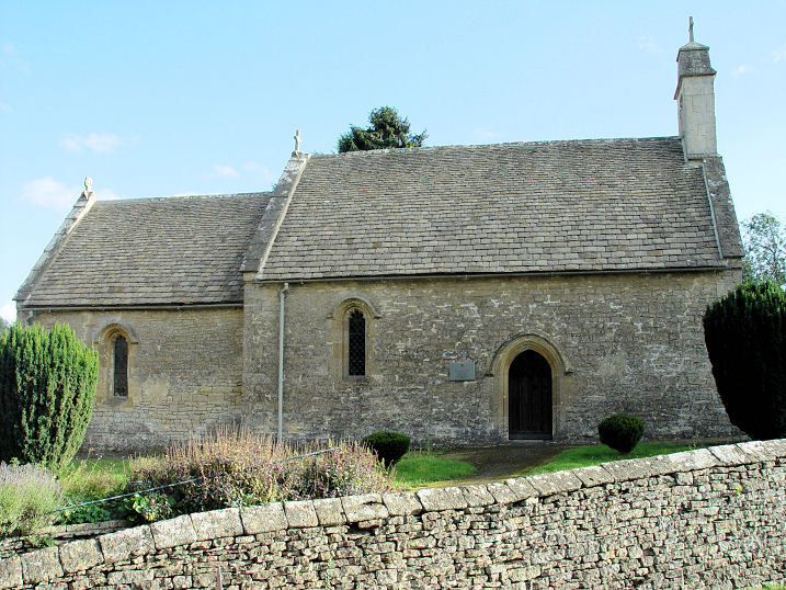
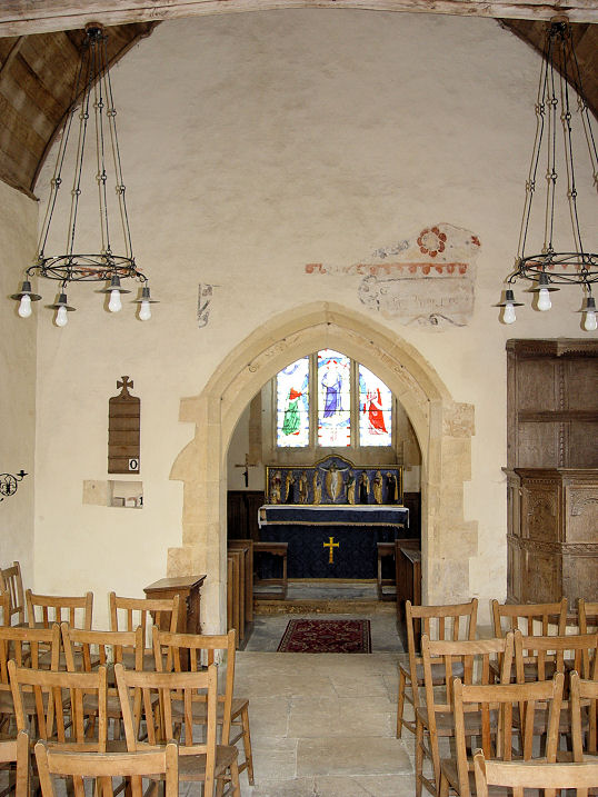
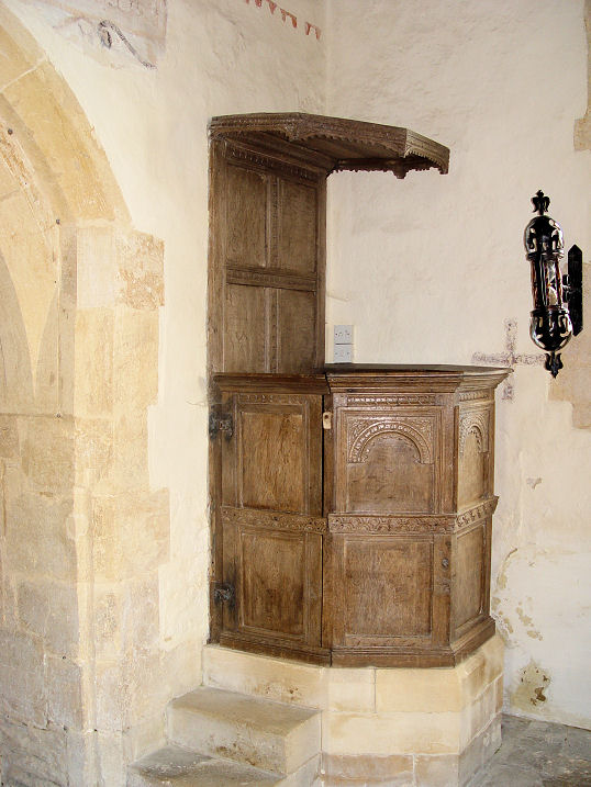
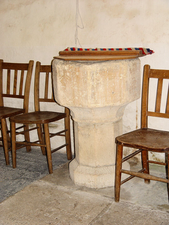
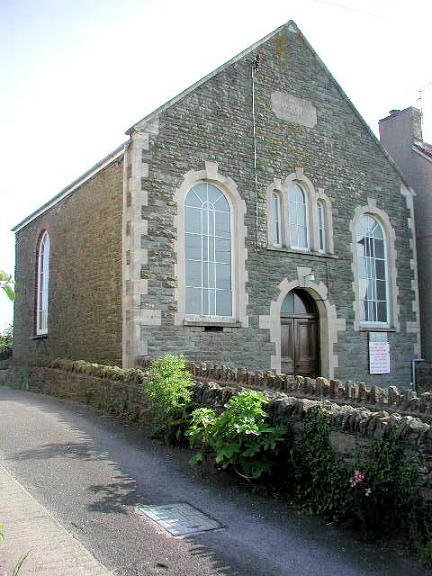
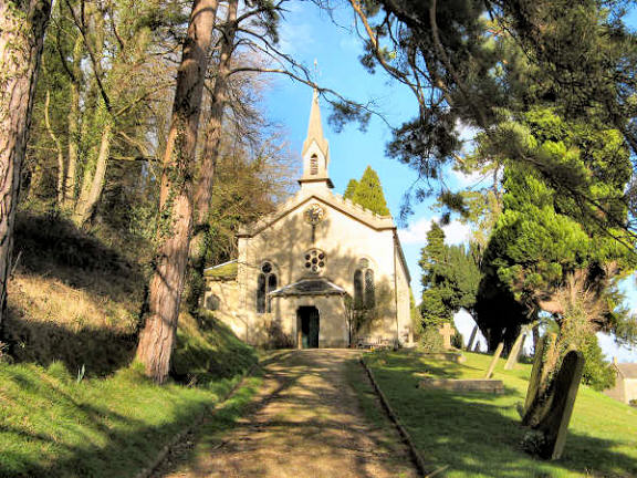
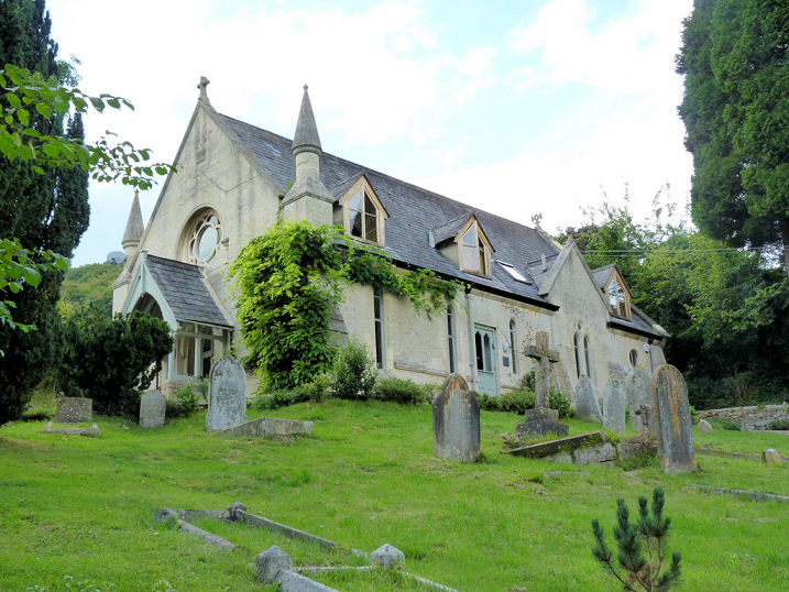
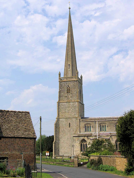
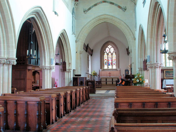
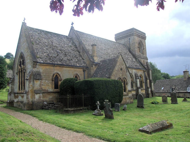
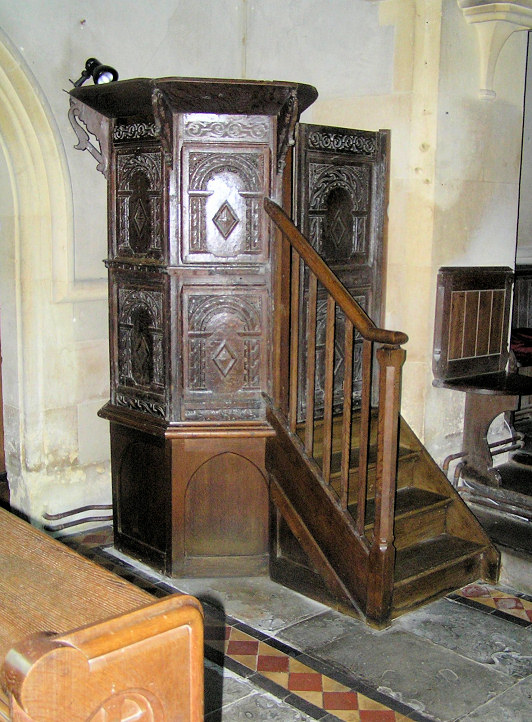
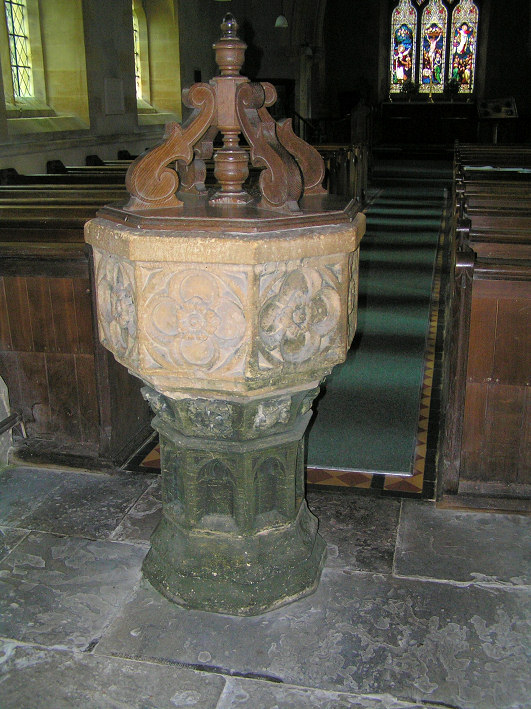
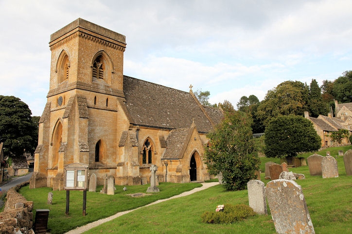
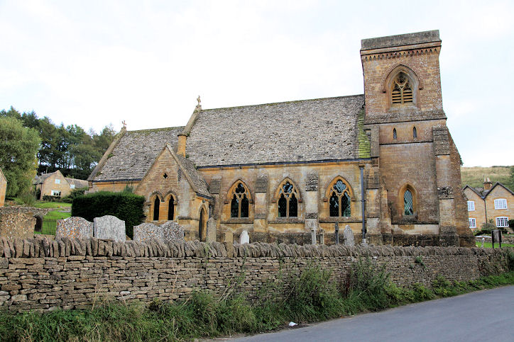
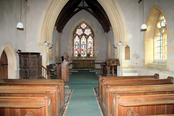
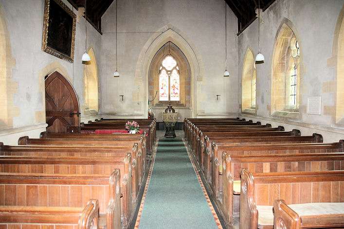
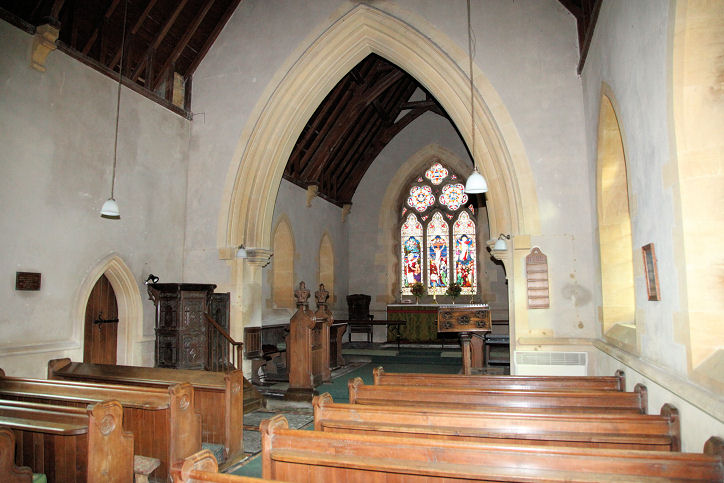
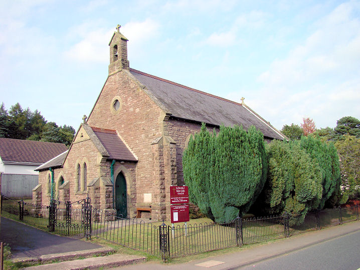
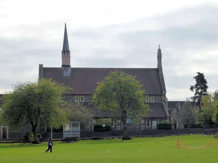
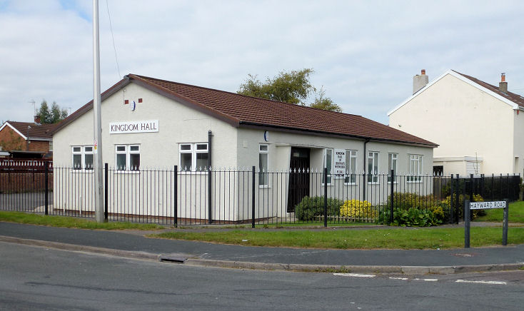
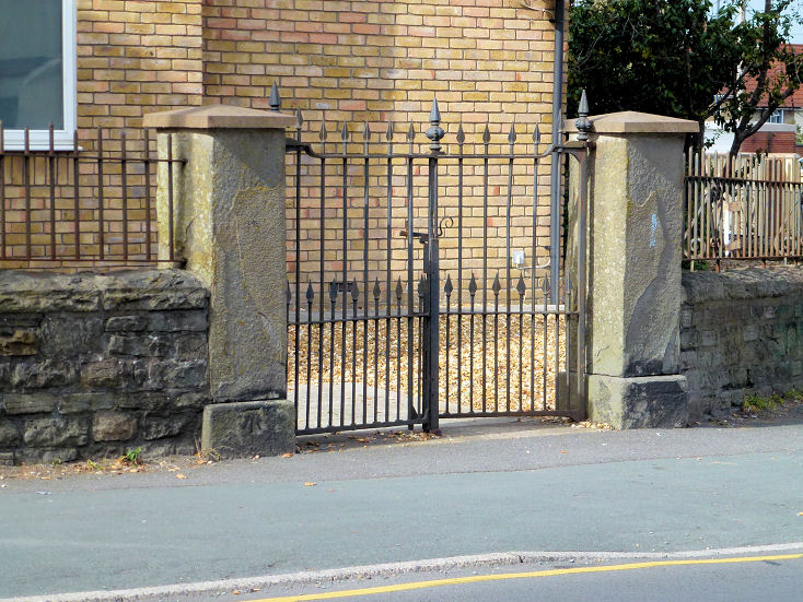
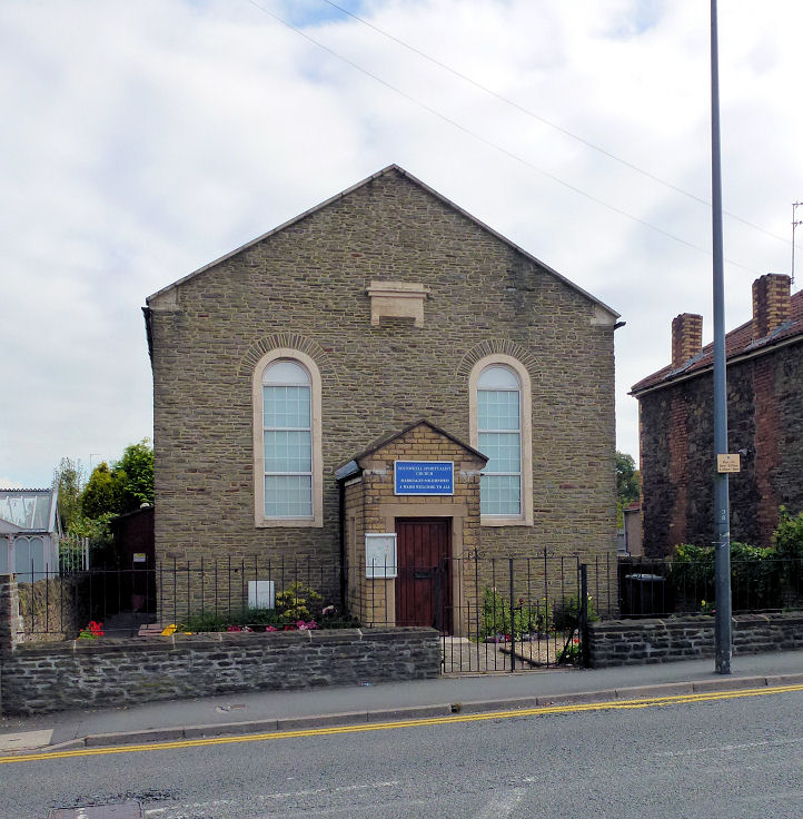
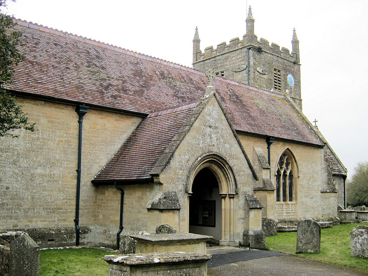
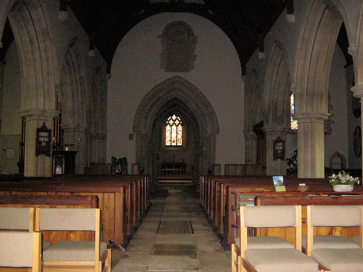
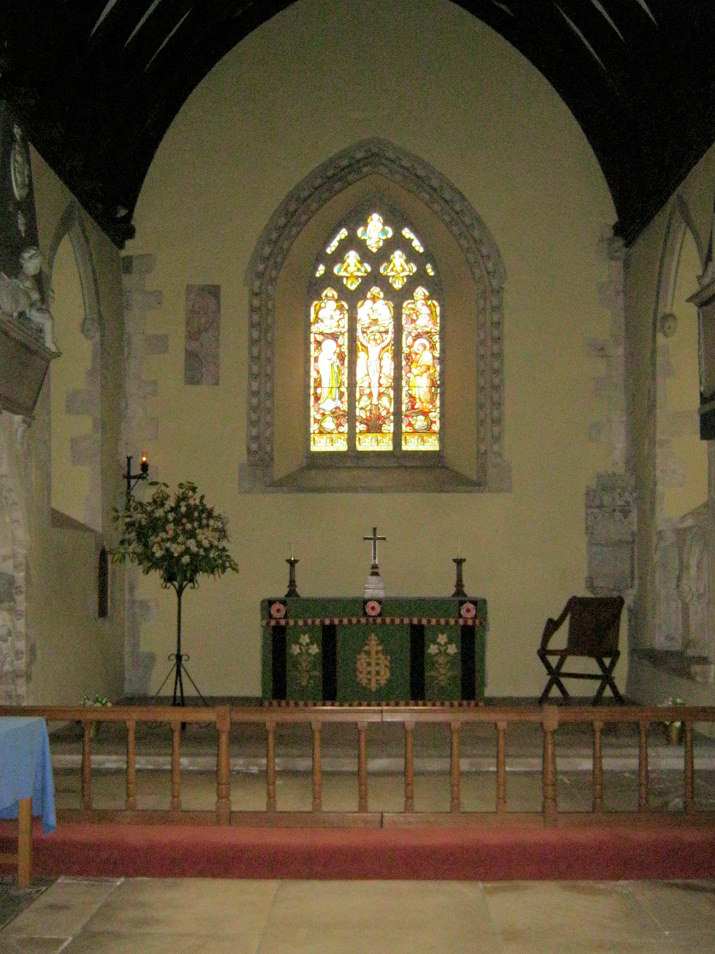
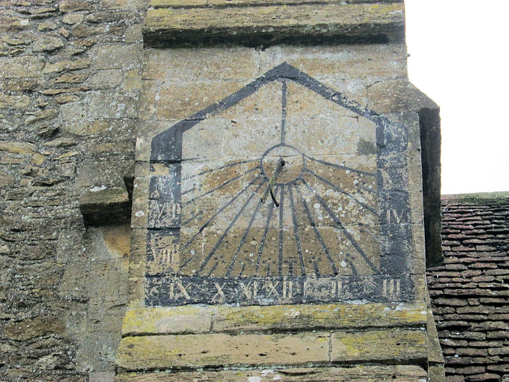
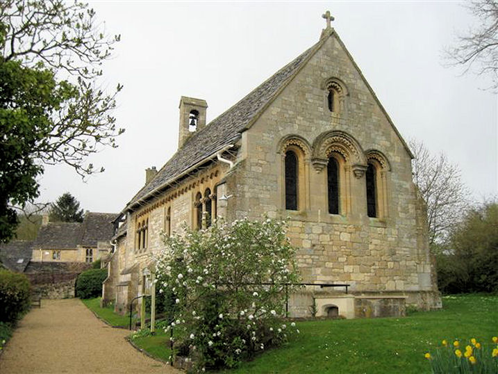
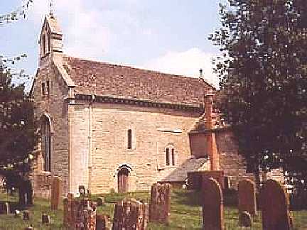
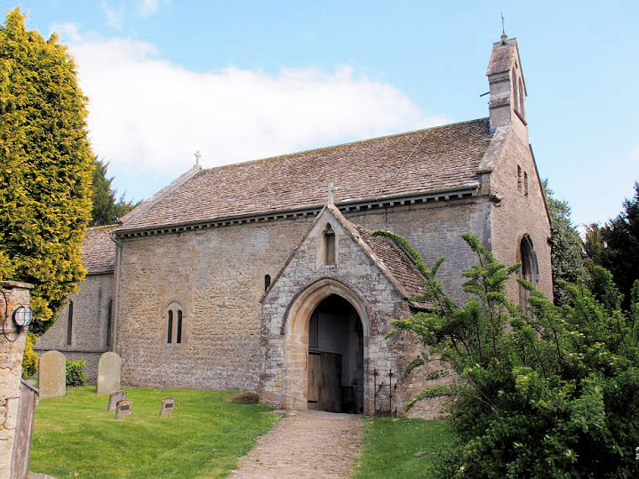
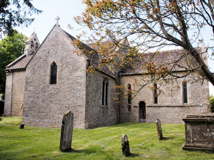
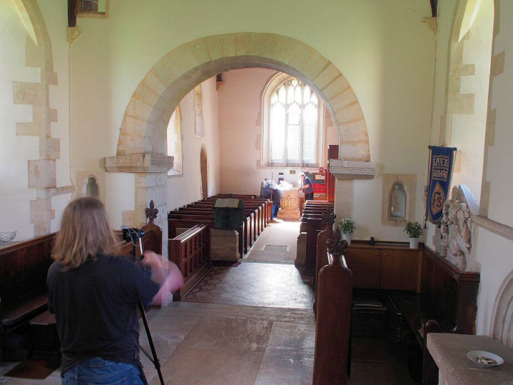
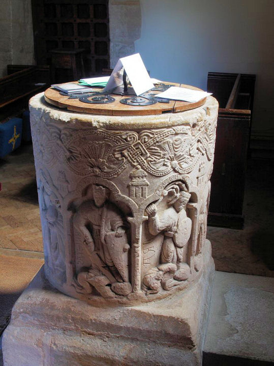
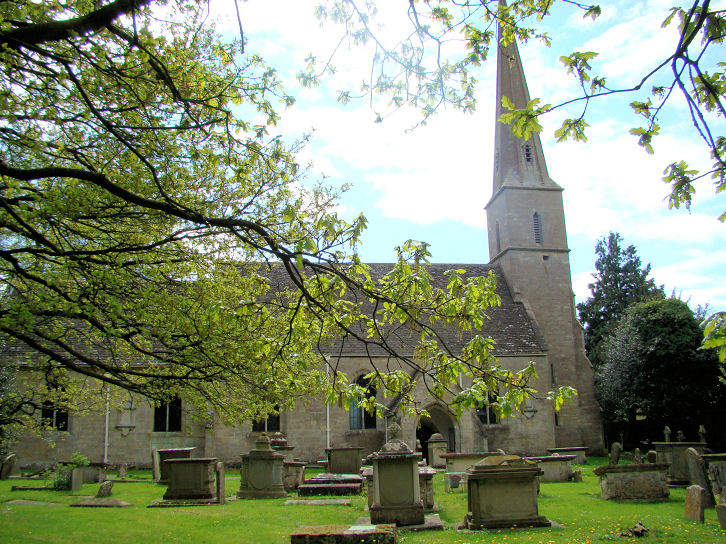
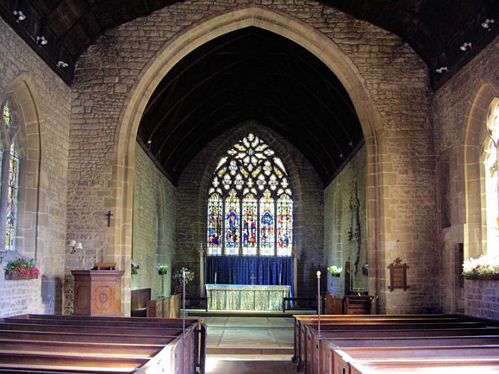
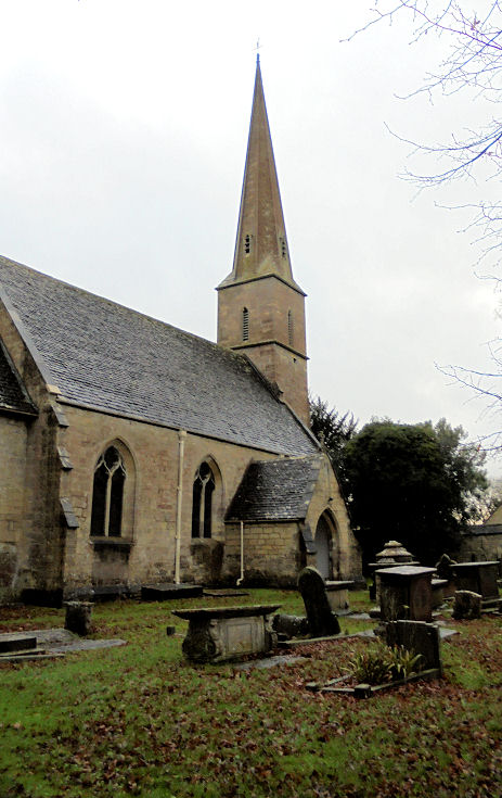
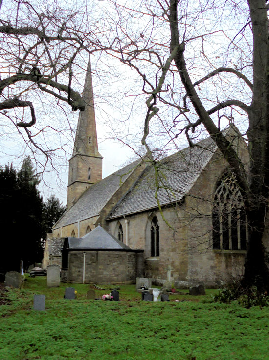
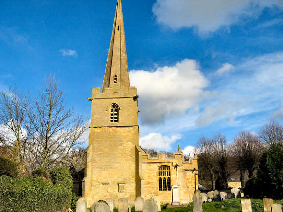
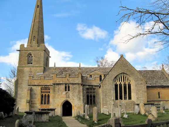
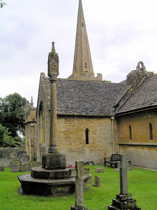
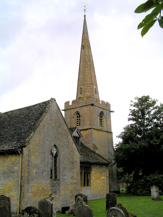
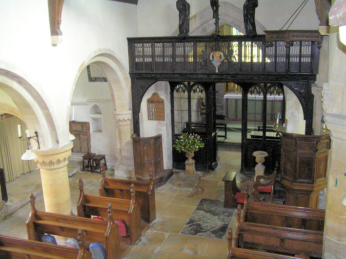
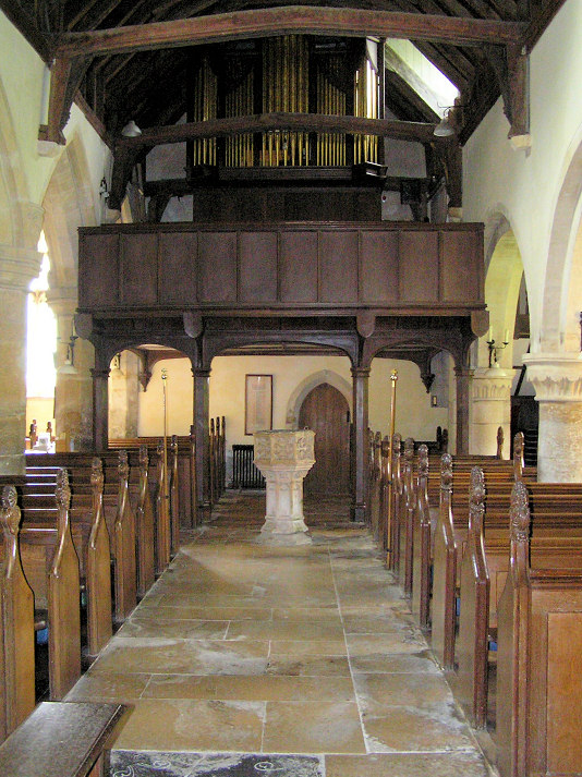
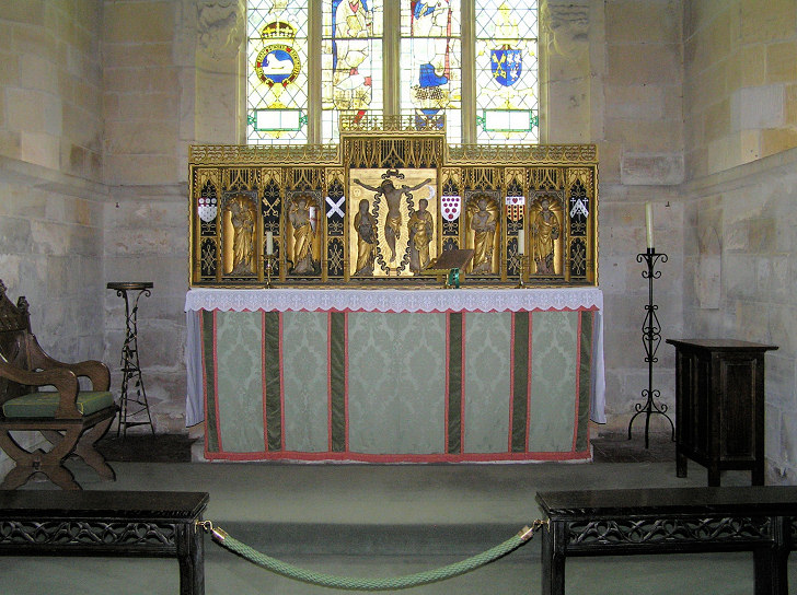
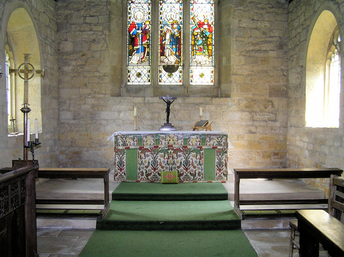
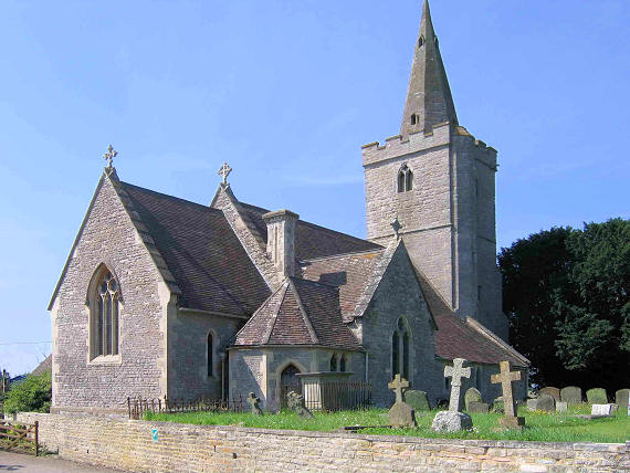
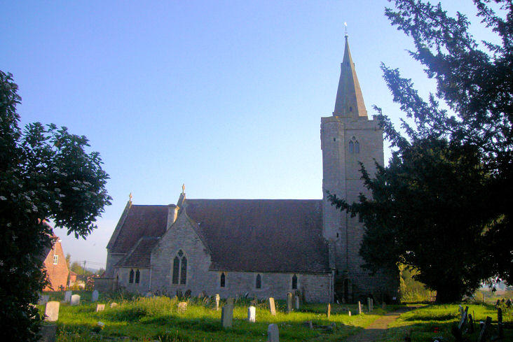
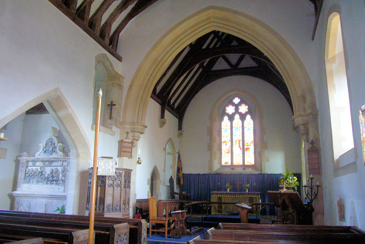
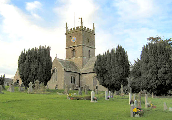
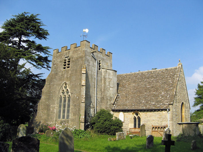
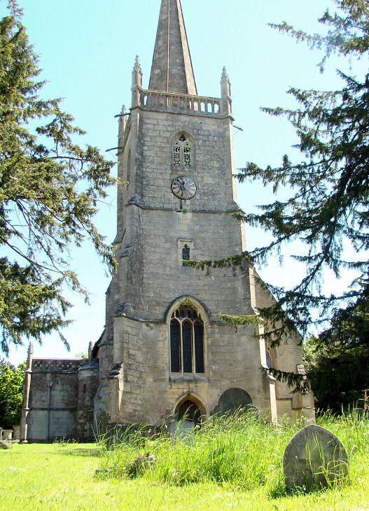
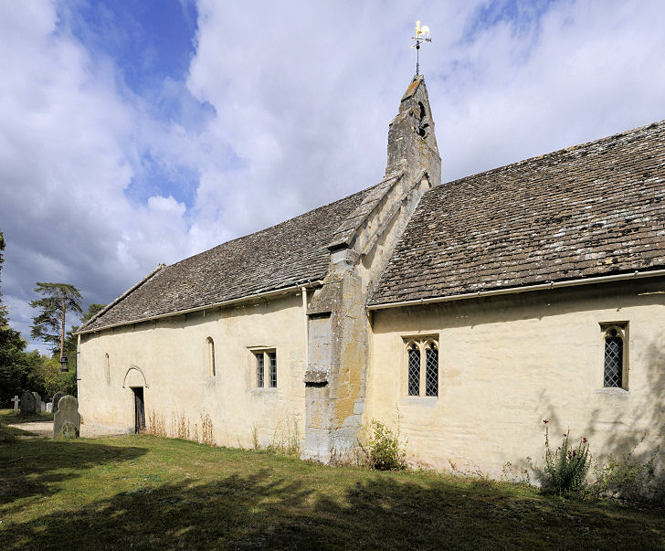
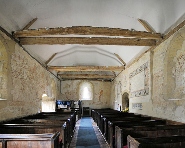
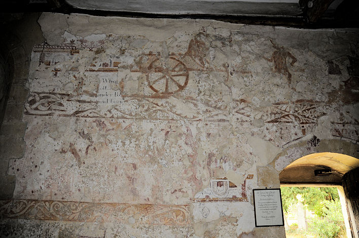
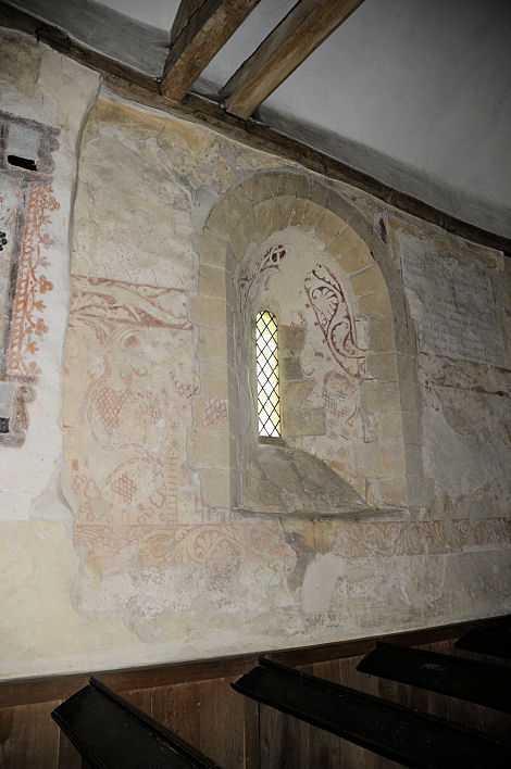
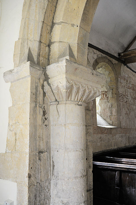
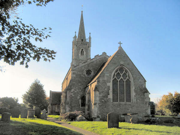
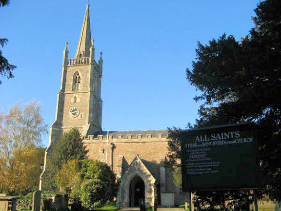
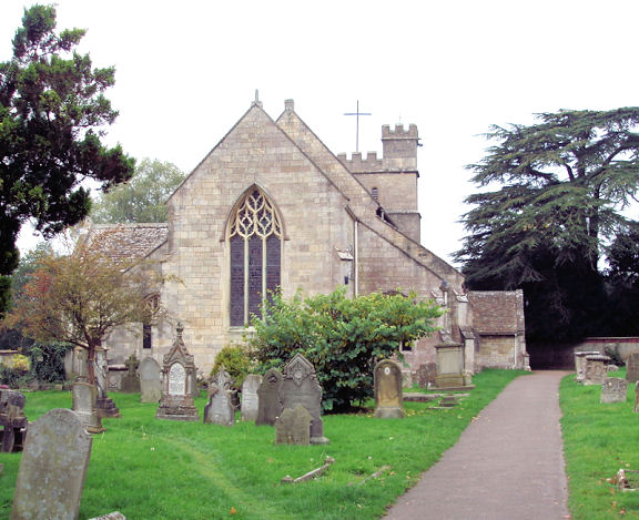
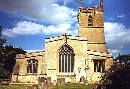
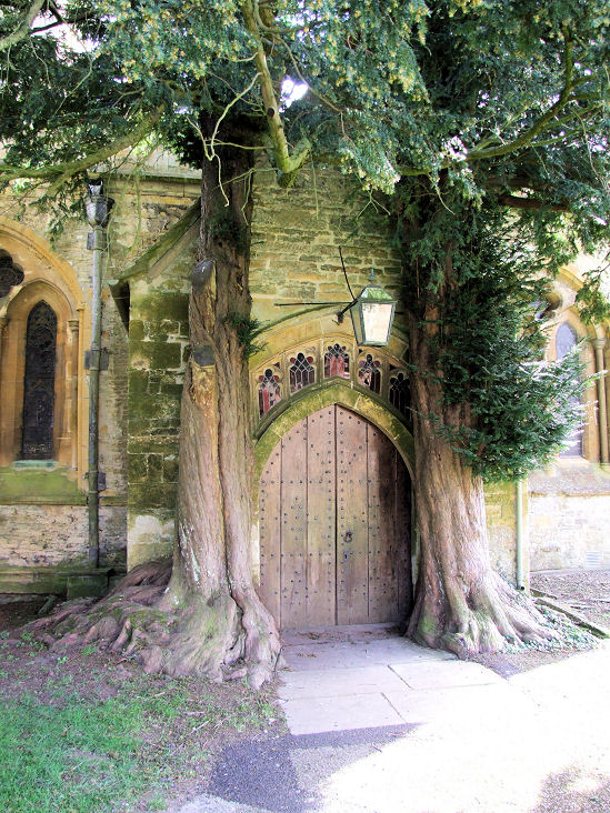
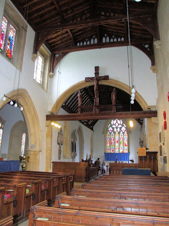
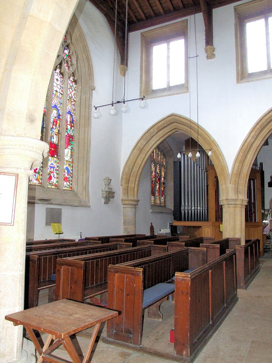
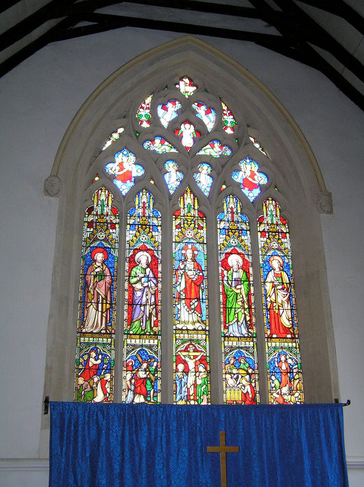
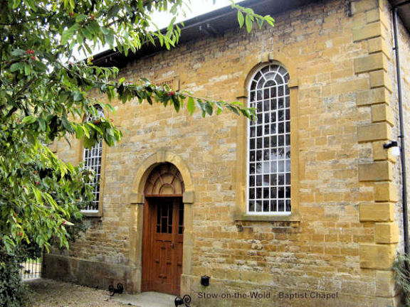
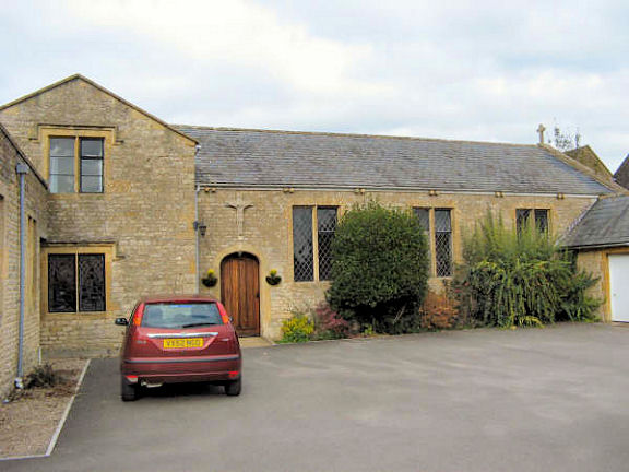
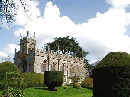
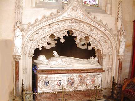
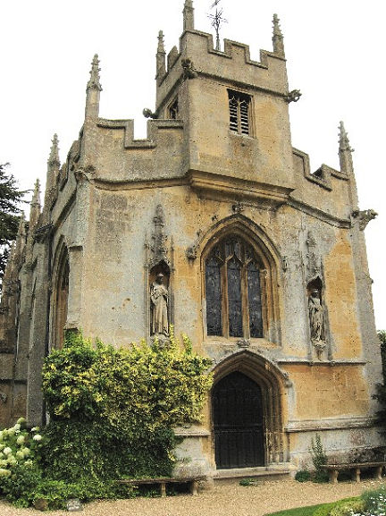
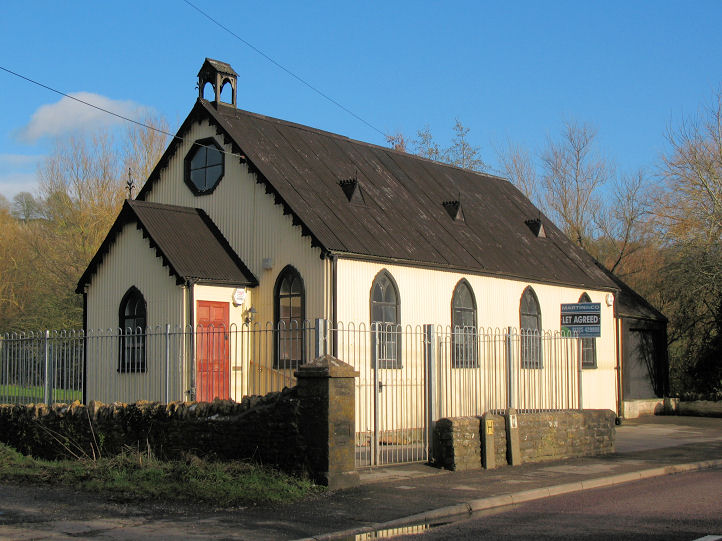
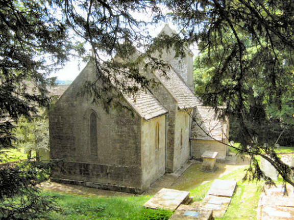
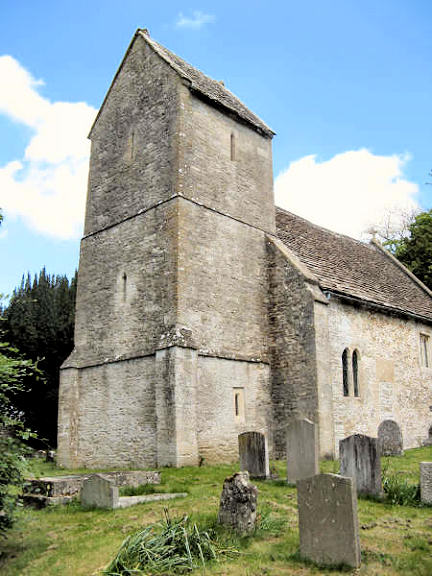
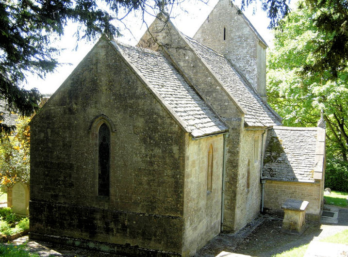
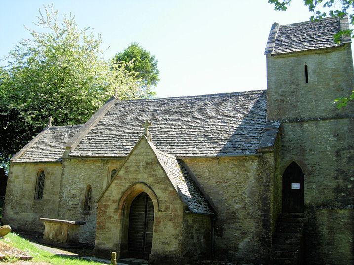
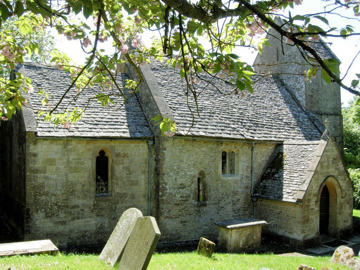
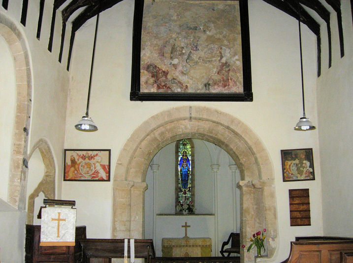
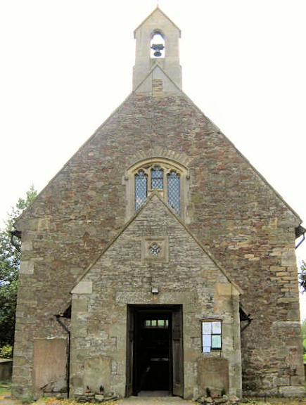
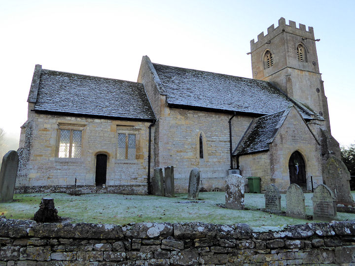
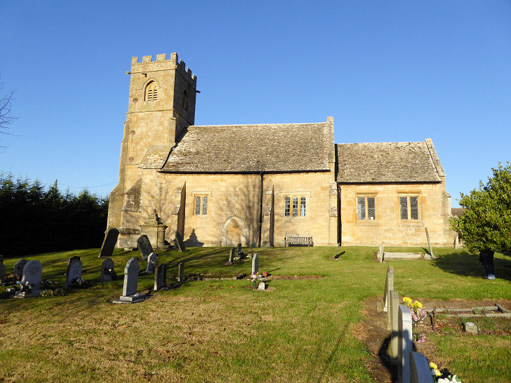
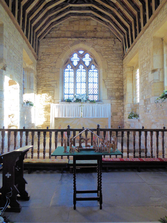
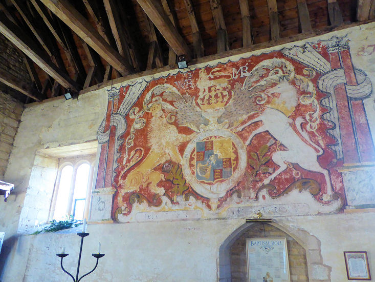
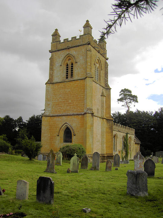
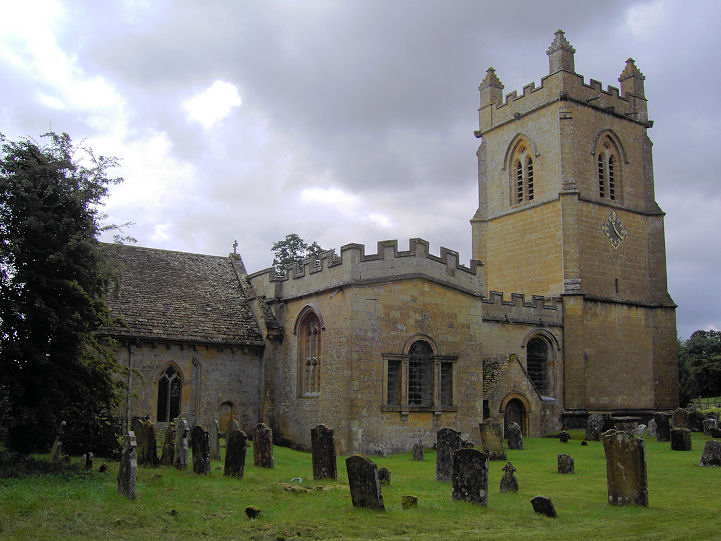
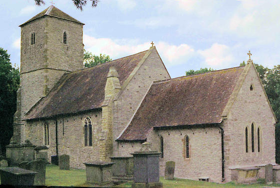
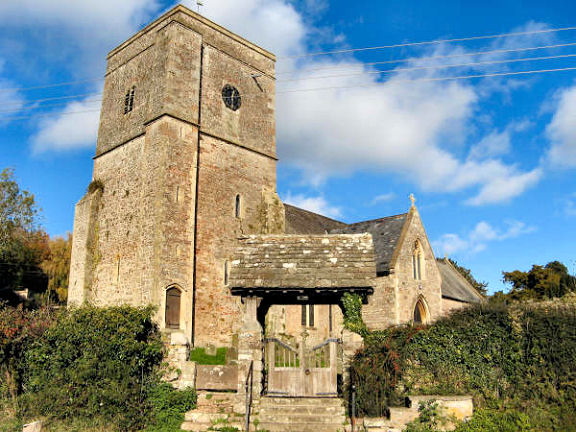
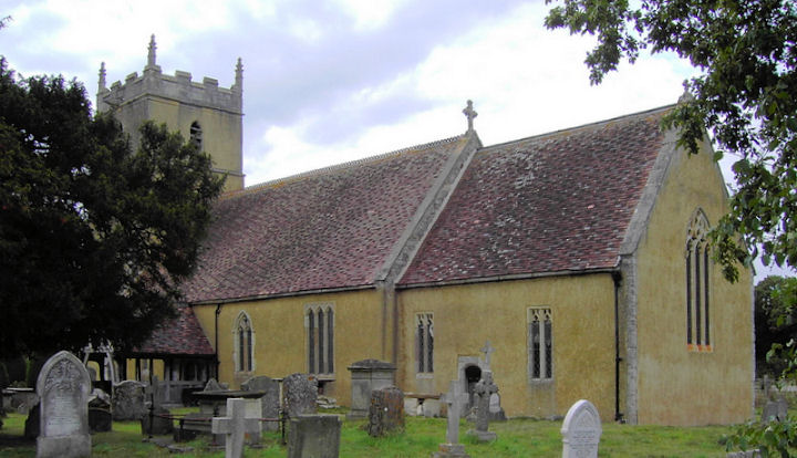
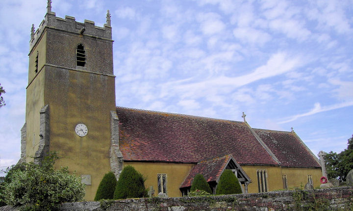
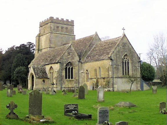
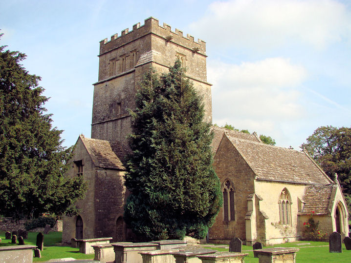
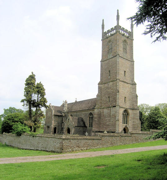
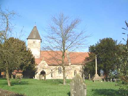
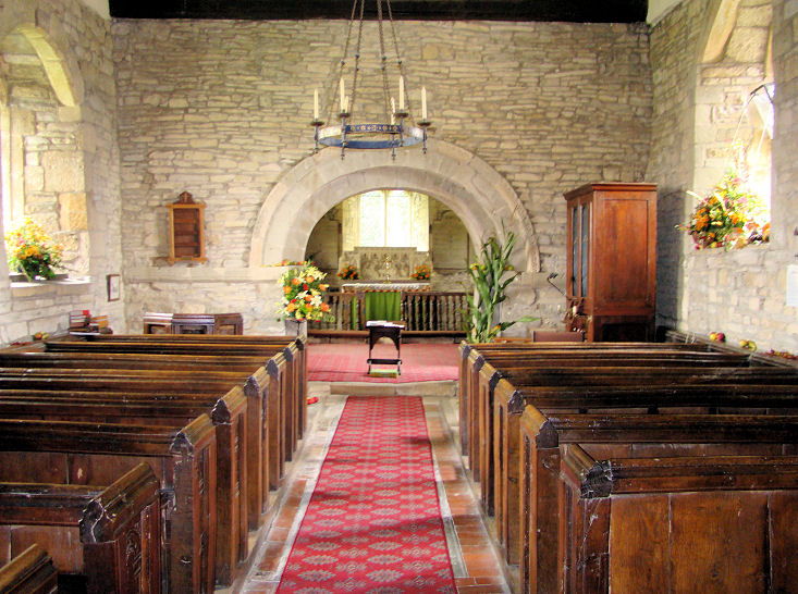
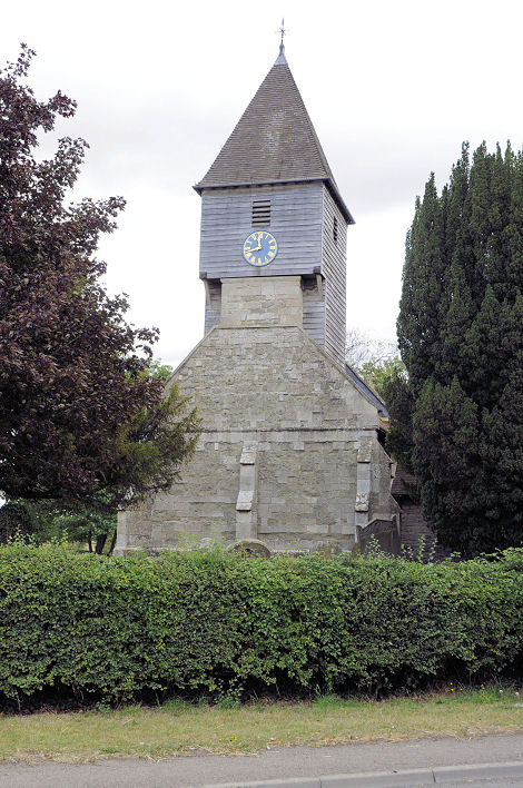
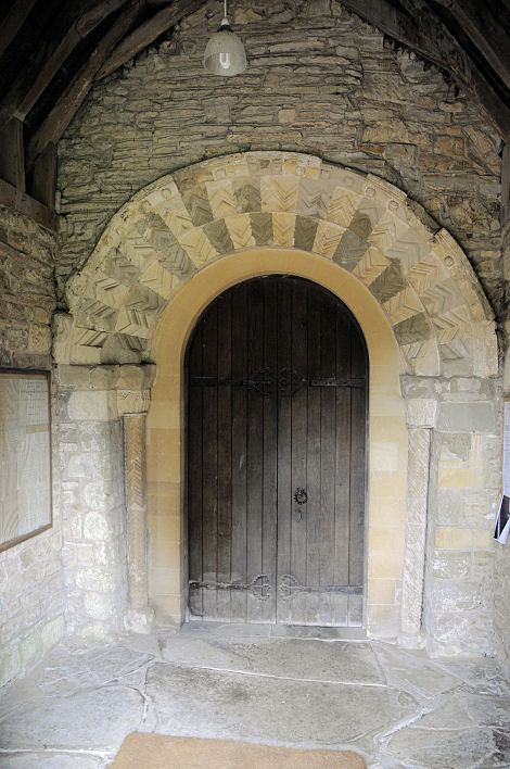
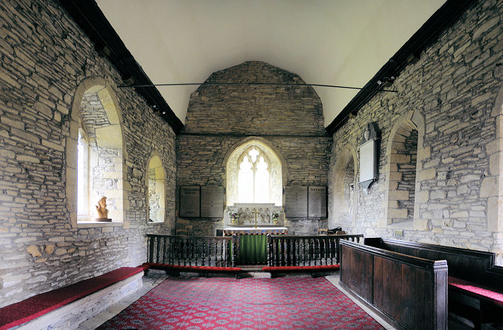
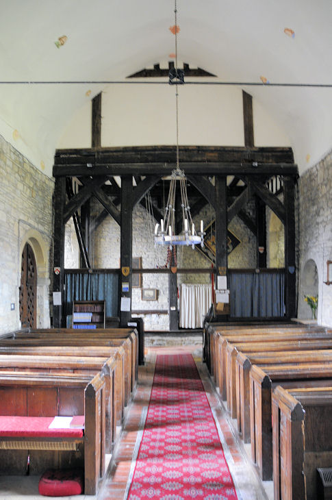
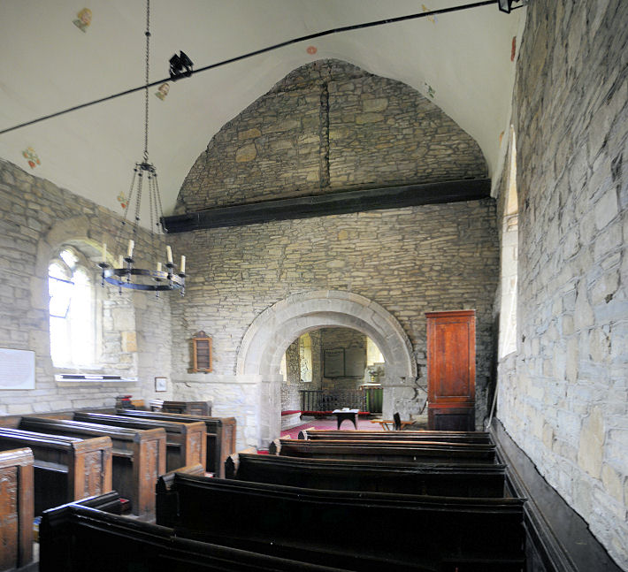
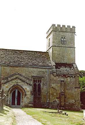
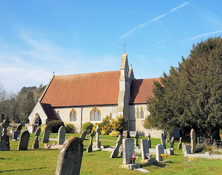
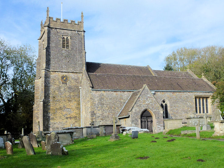
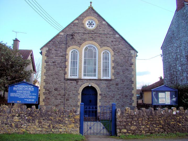
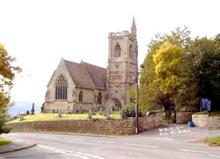
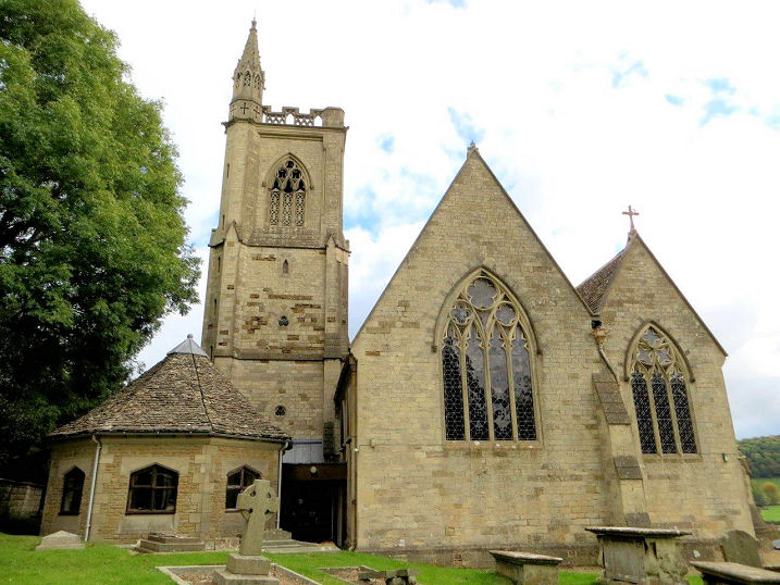
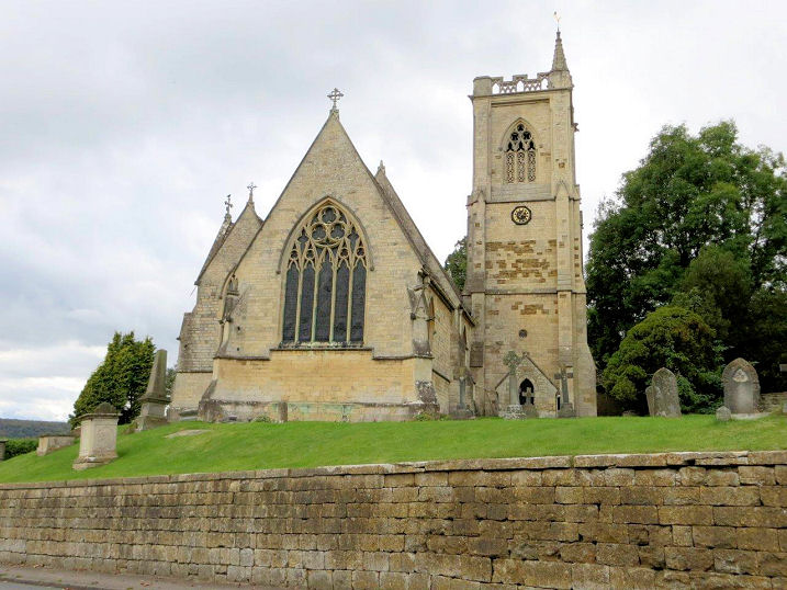
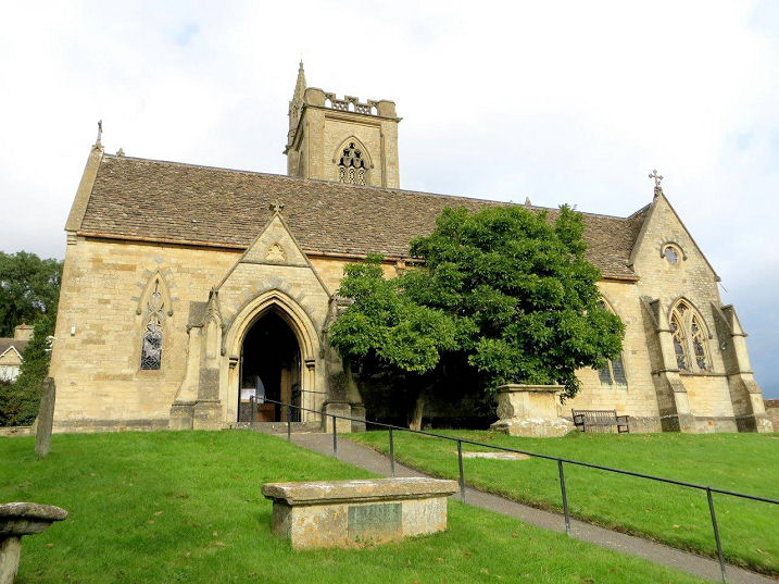
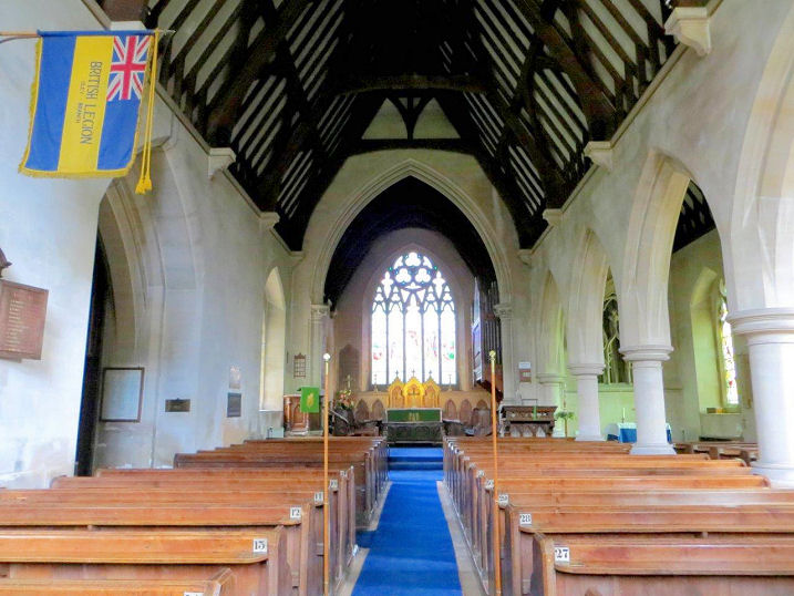
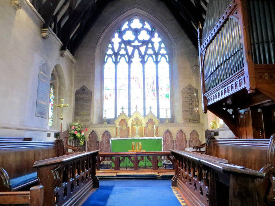
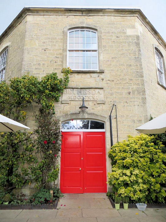
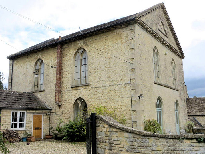
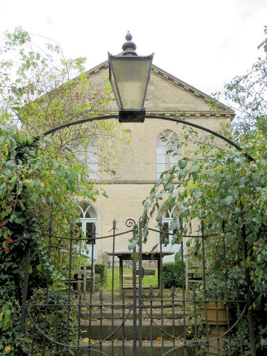
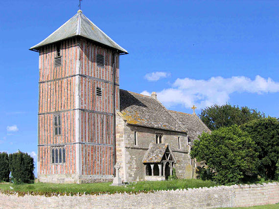
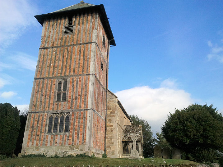
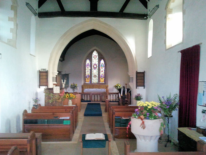
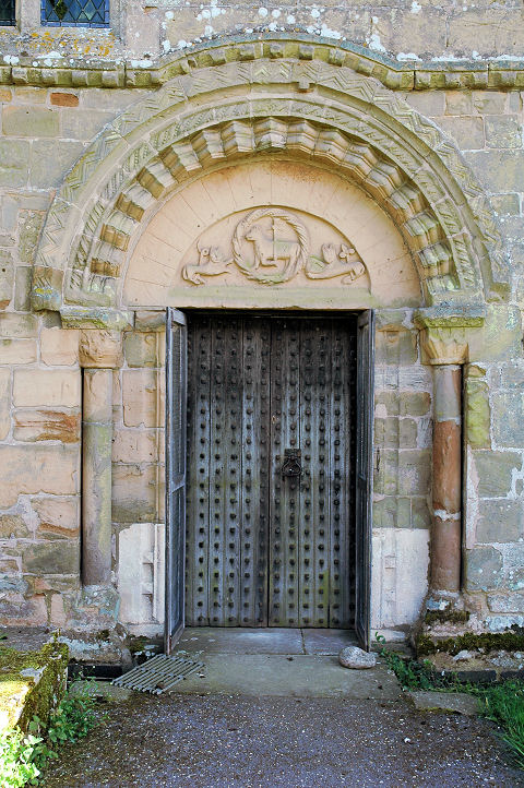
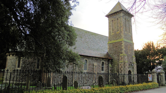
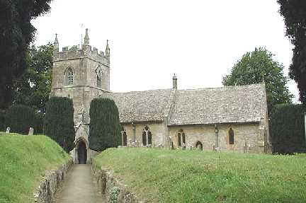
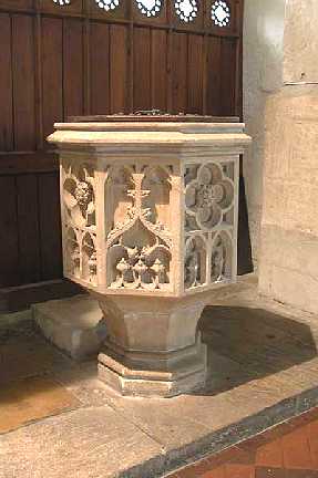
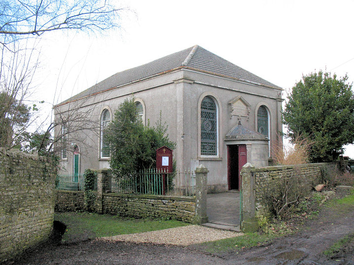
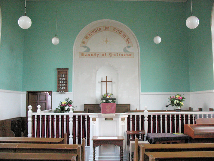
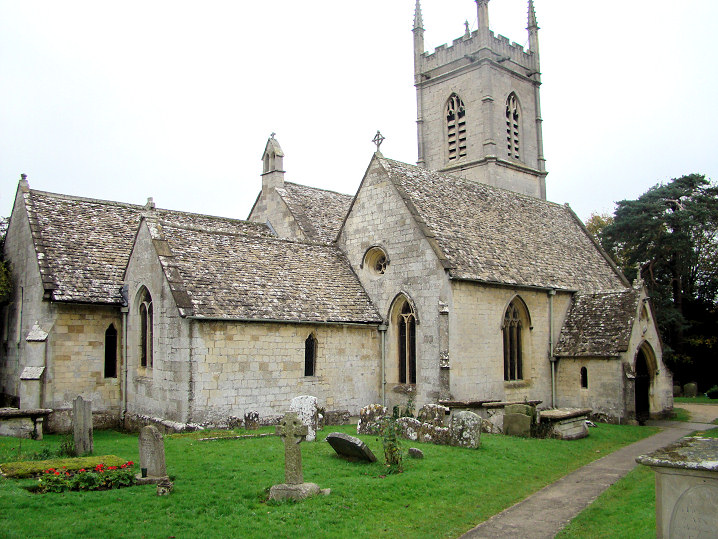
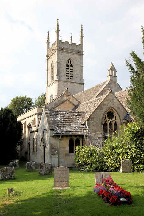
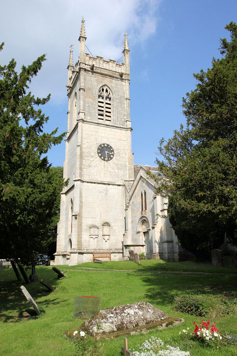
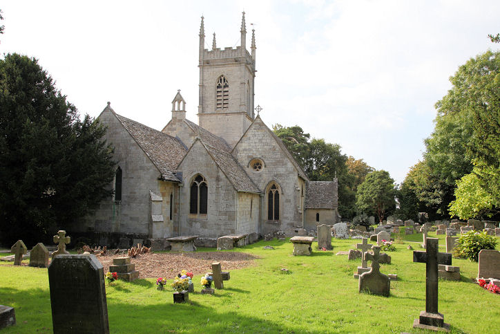
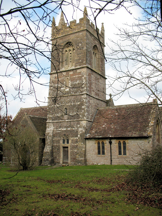
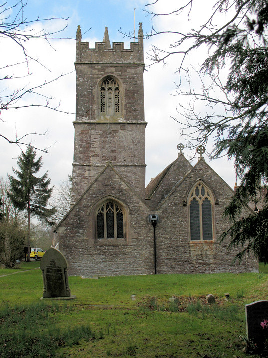
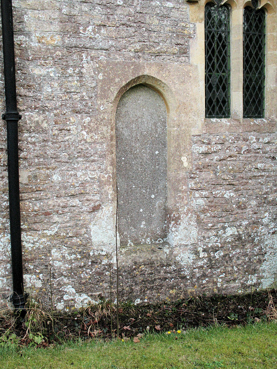
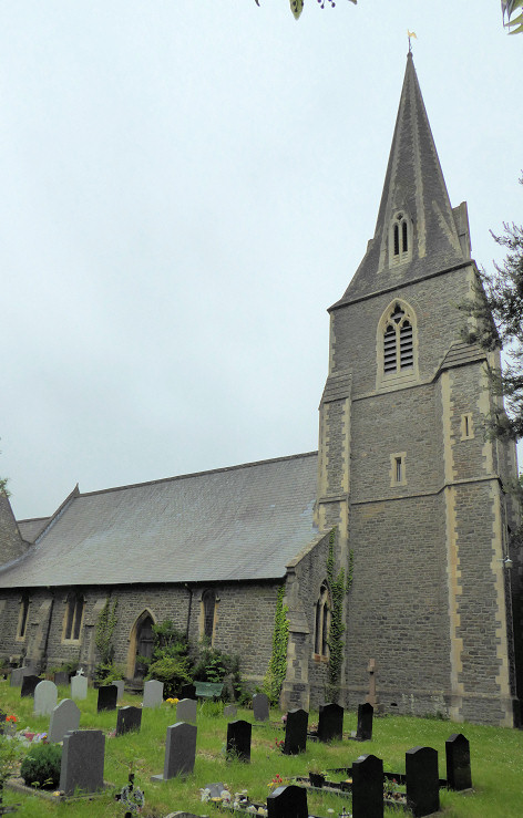
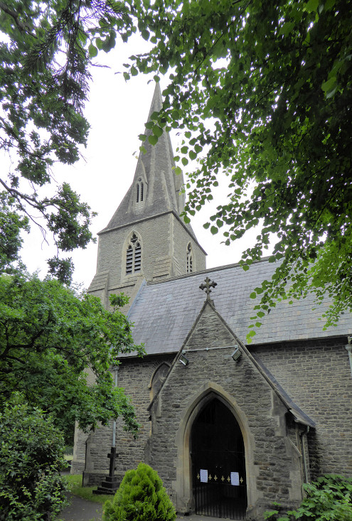
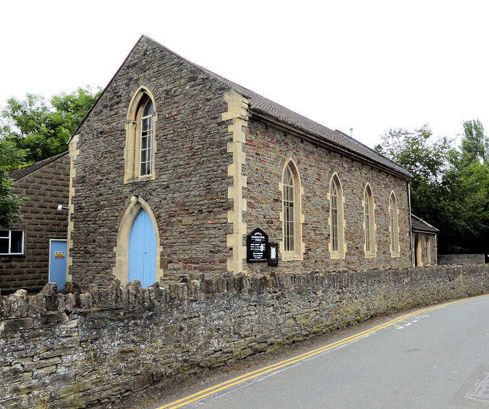
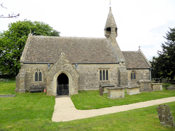
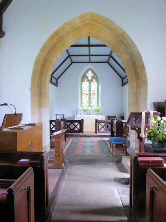
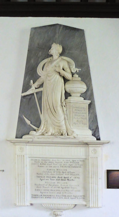
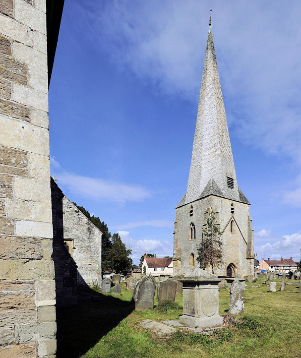
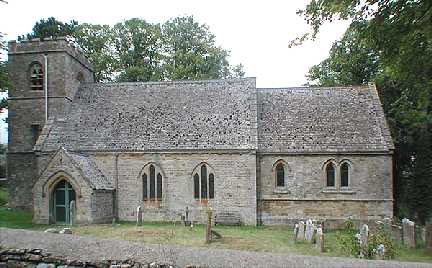
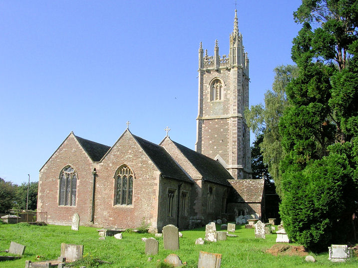
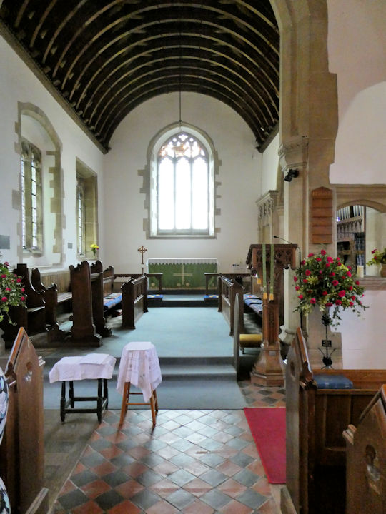
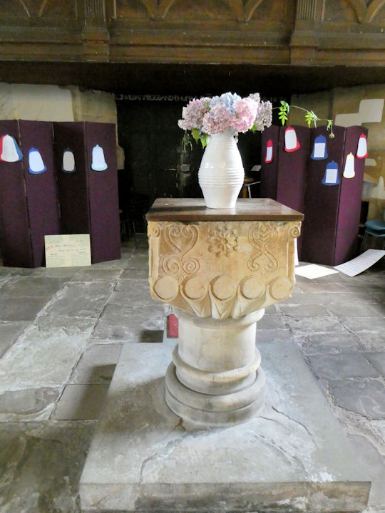
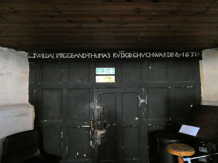
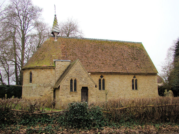
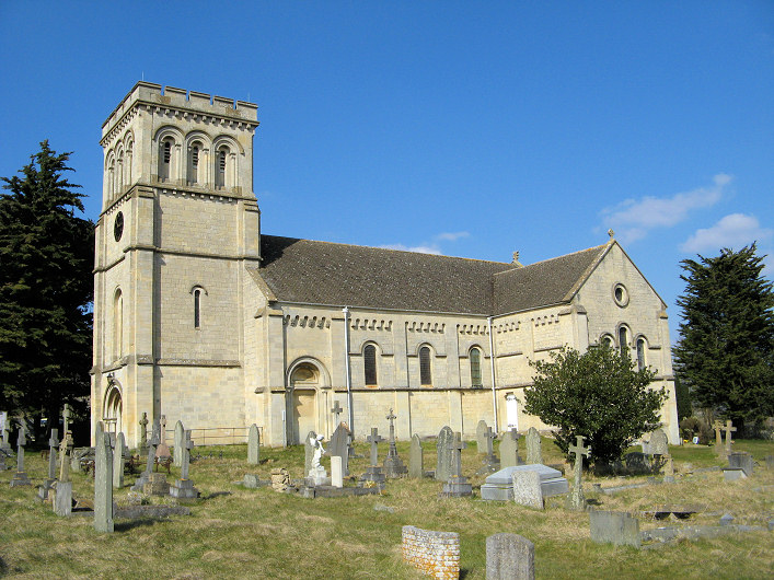
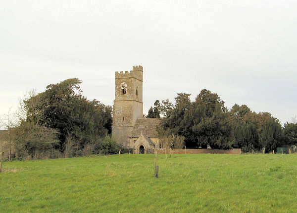
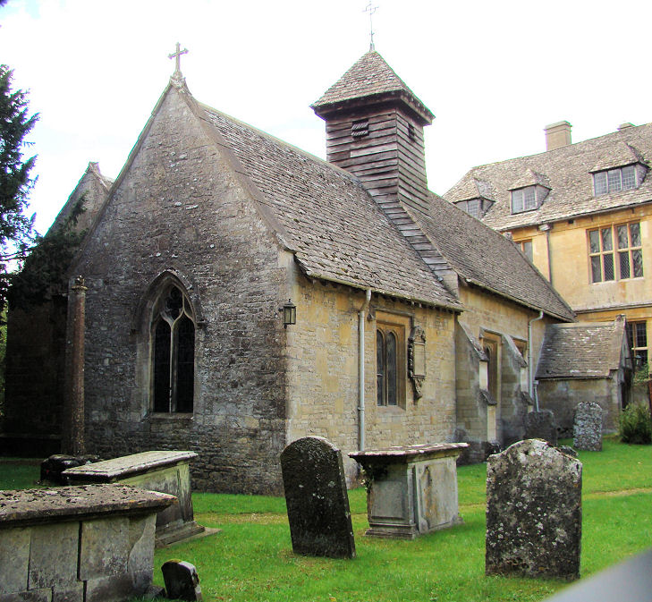
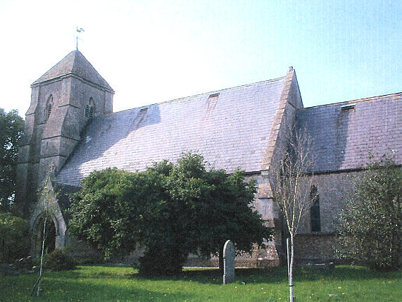
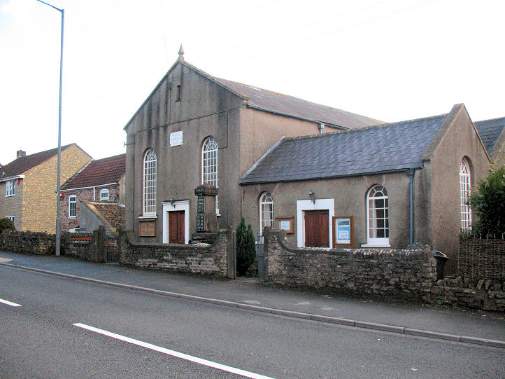
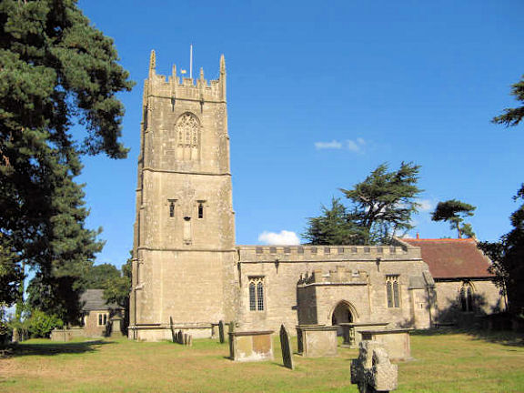
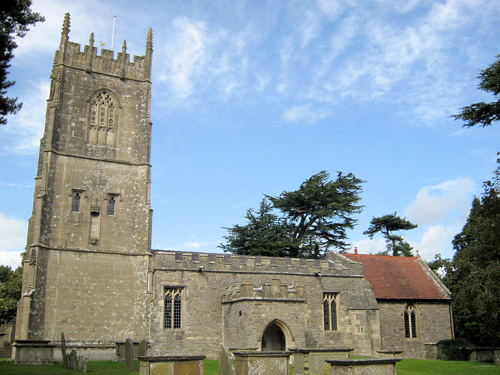
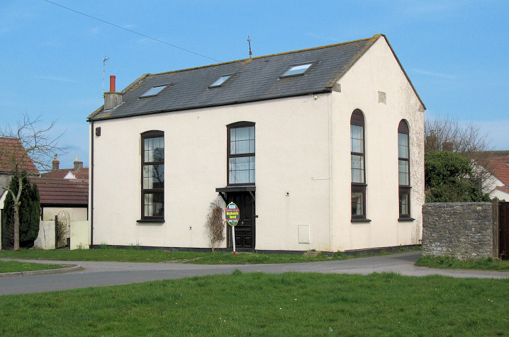
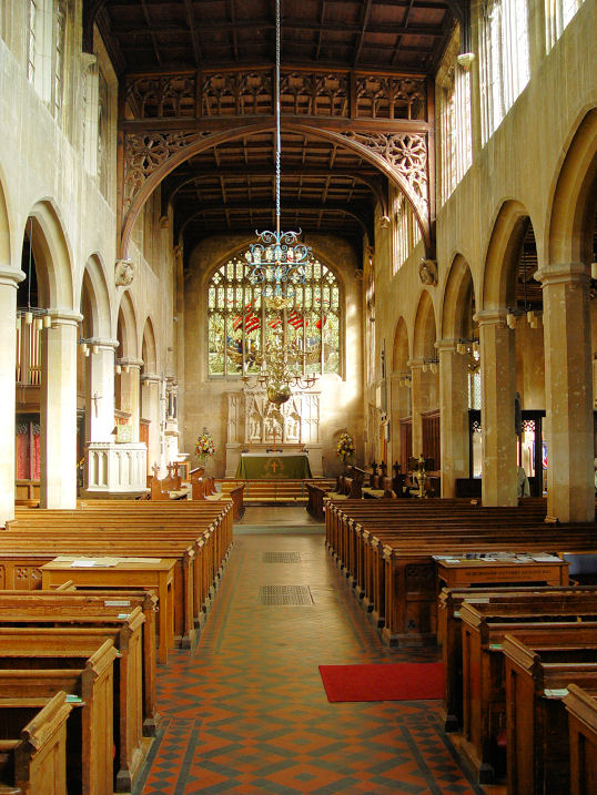
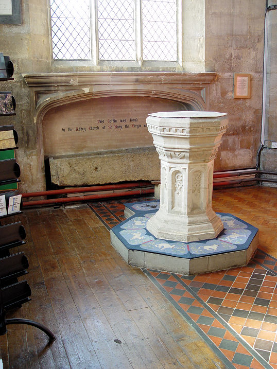
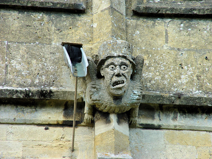
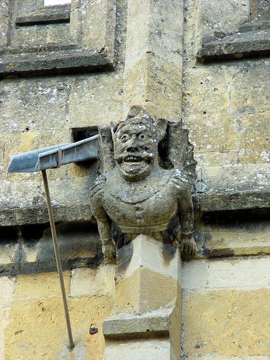
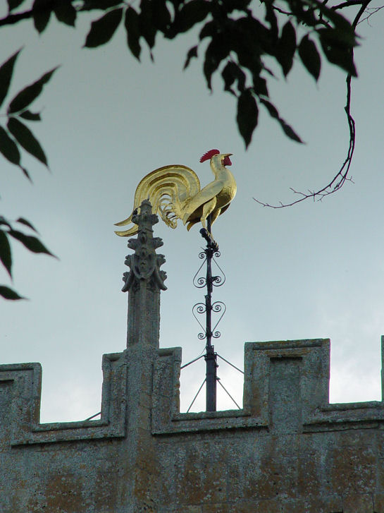
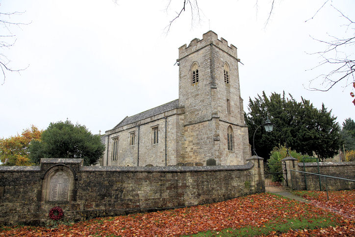
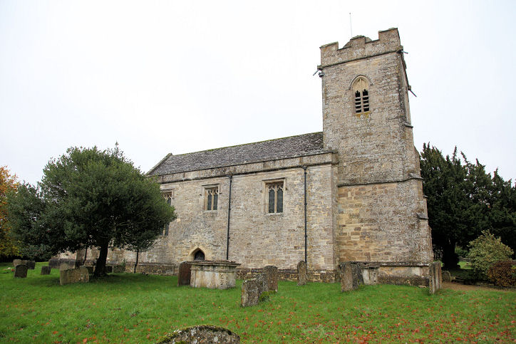
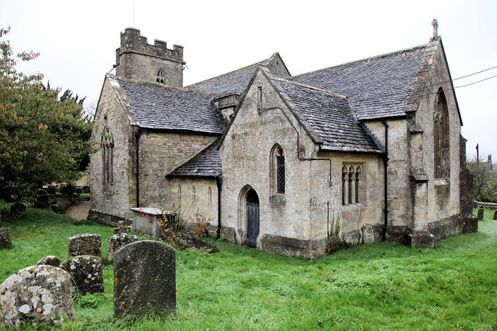
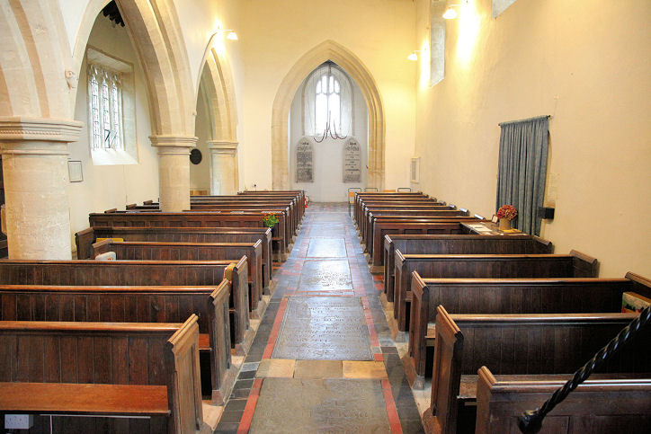
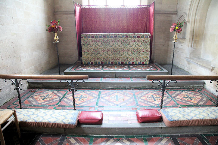
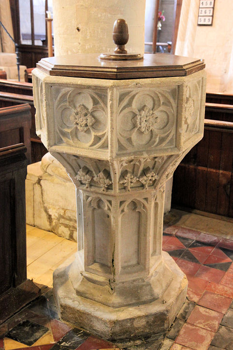
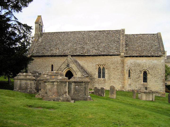
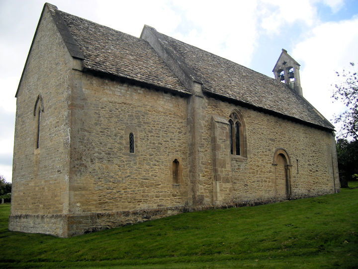
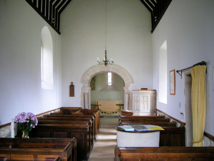
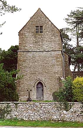
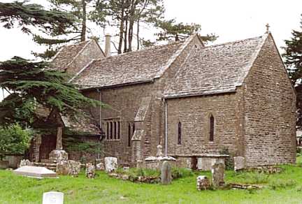
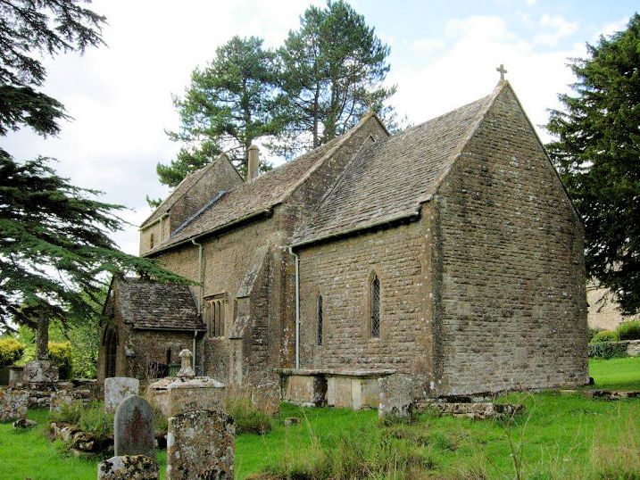
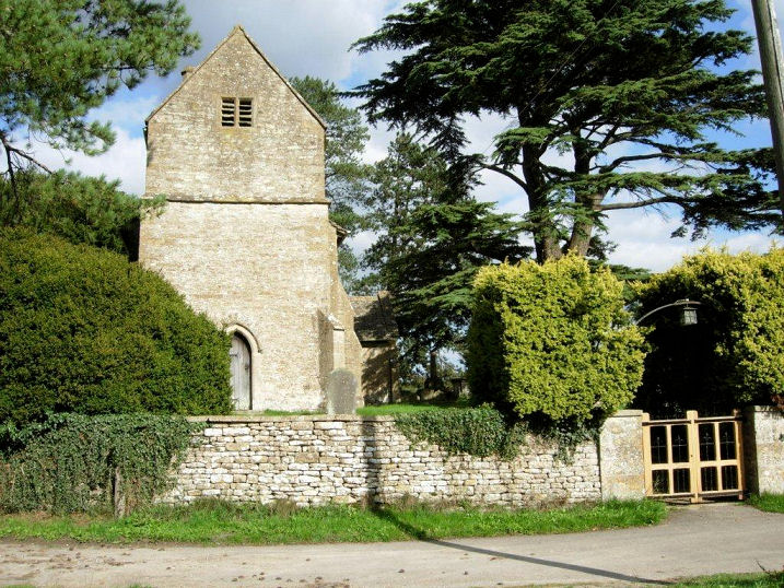
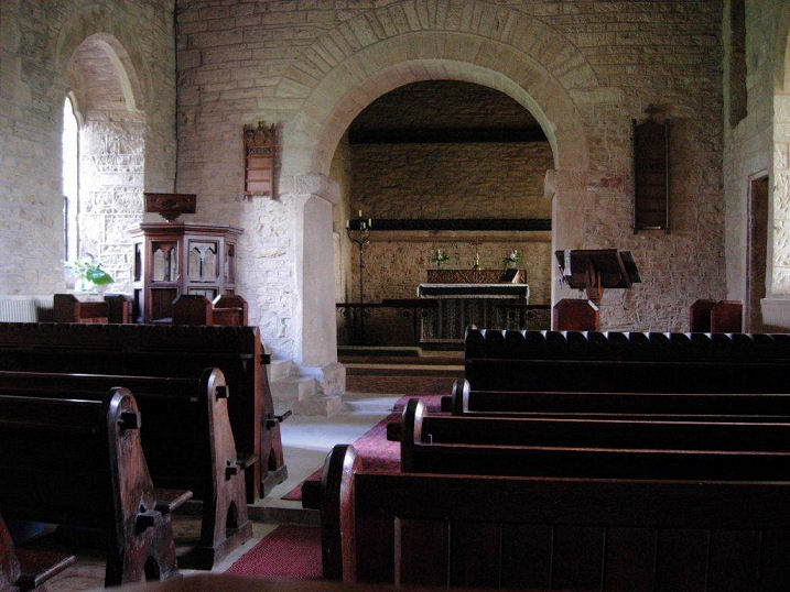
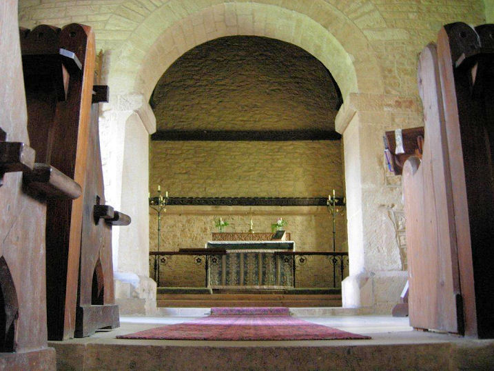
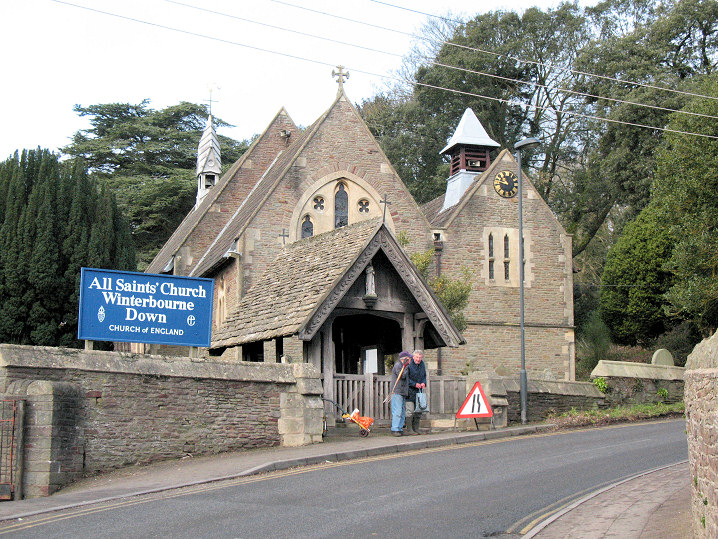
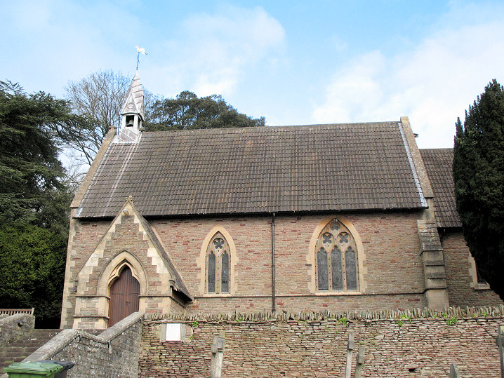
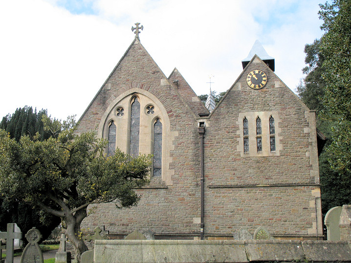
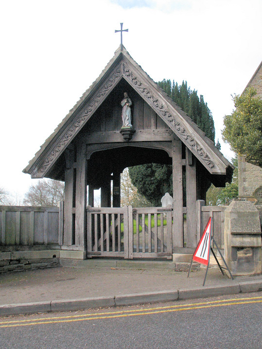
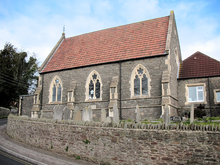
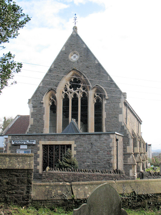
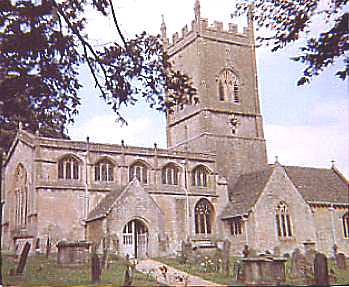
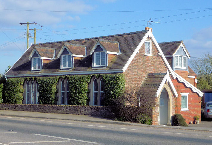
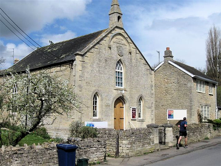
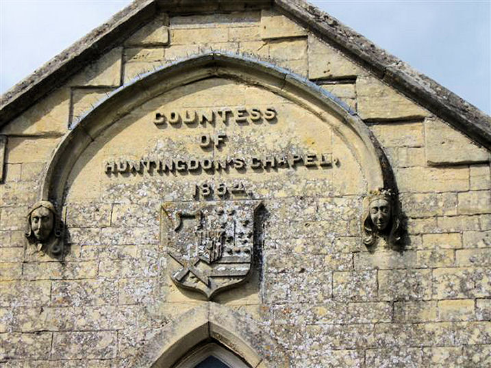
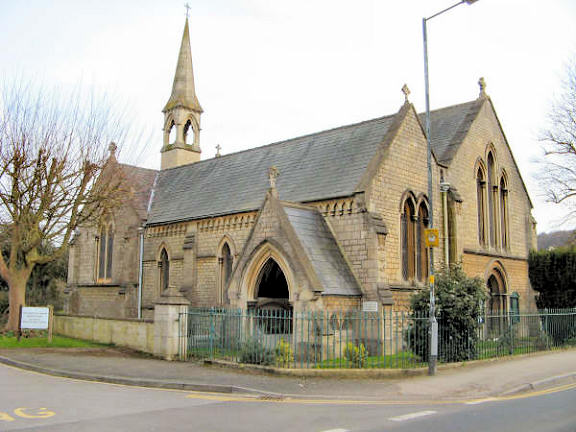
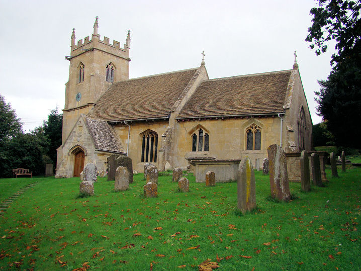
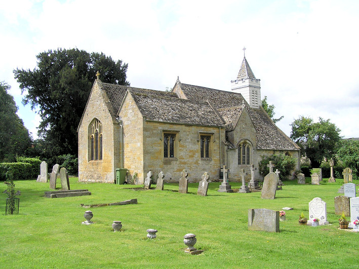
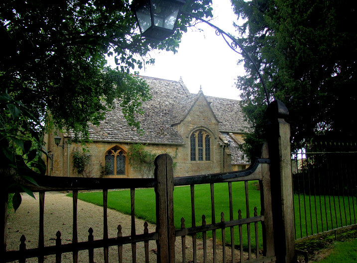
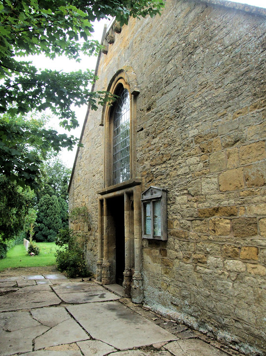
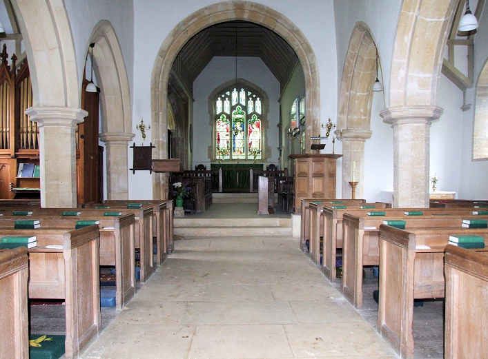
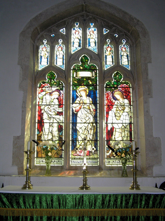
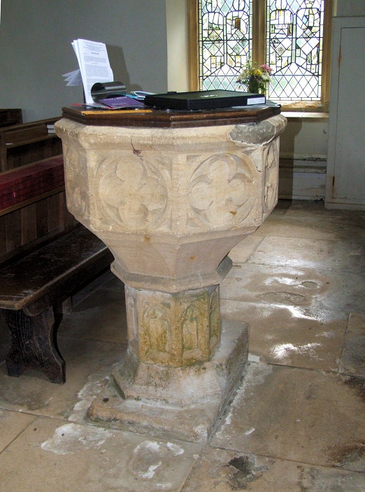
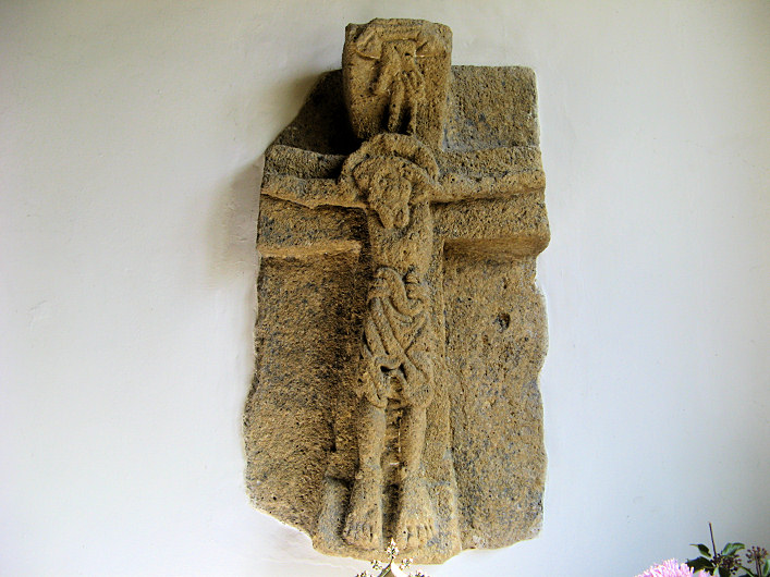
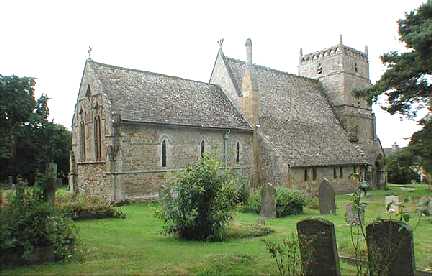
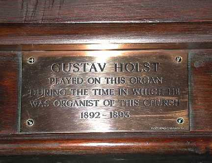
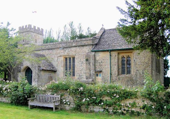
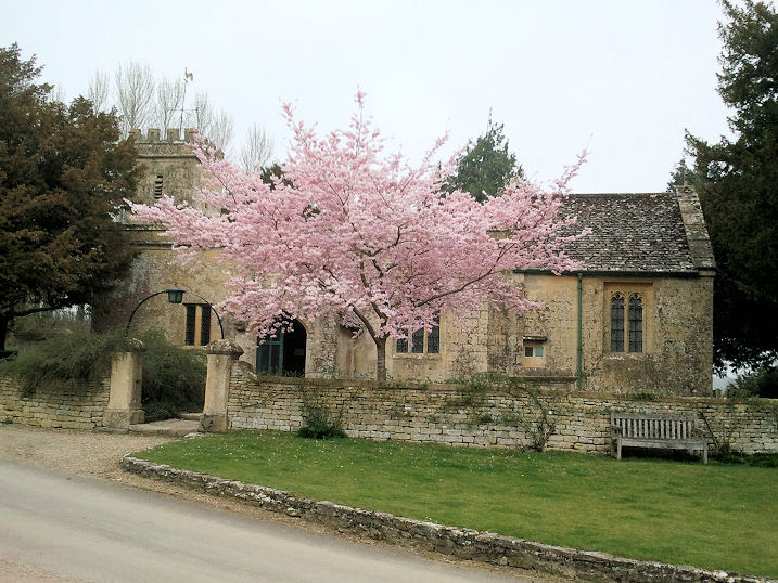
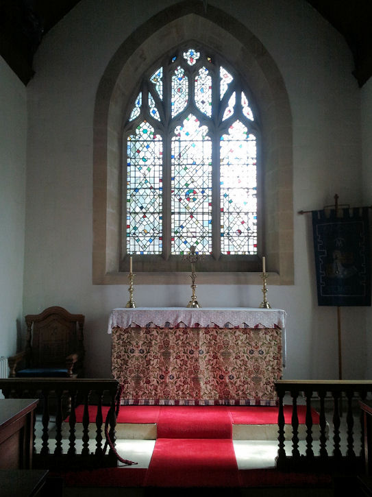
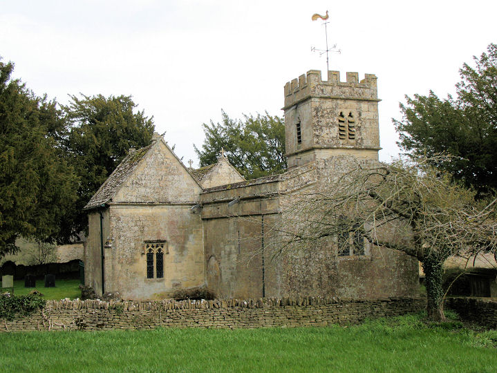