The Churches of Britain and Ireland
| Soham, Cambridgeshire
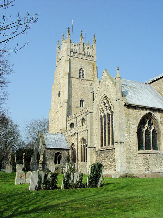
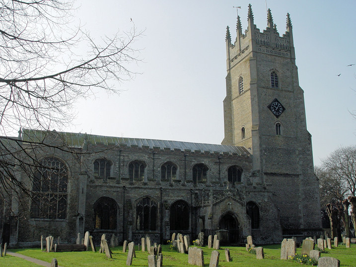
The Baptist Church (2018 Streetview) is on Clay Street. Its grade II listing dates it to circa 1832, however, this source says 1783, and includes a photo of a now-demolished building "thought to have been the original Baptist chapel" on Brook Dam Lane. TL 5940 7299. Link. The Methodist Church (2011 Streetview) on Berrycroft was originally Primitive Methodist. The church website dates it to 1869. Interior photo from 1969 here. This source says it had a predecessor of 1841, but doesn't say where it was. TL 5912 7359. The cemetery on Fordham Road has a pair of Mortuary Chapels. They were seen by Streetview in 2021 - the one clearly seen (TL 5994 7237) is labelled on the map as Nonconformist (grade II listed, circa 1855). Further to the left, and poorly seen, is the Church of England Chapel (TL 5996 7235) - grade II listed, circa 1855. St. Andrew. Two further views - 1, 2. TL 5932 7317. All © Steve Bulman (2012). An early interior photo can be seen here. Link. Grade I listed. Salvation Army Church on Bushel Lane, as seen by Streetview in 2016. This source, which dates it to 1927, says it was closed in 2020. TL 5929 7383. The former U.R.C. (2009 Streetview, Sunday School on the right) on Station Road is labelled on older maps as Congregational, and its grade II listing dates it to 1841. TL 5918 7338. A former Wesleyan Methodist Chapel stands on Churchgate Street. Seen by Streetview in 2021, its dated here to 1841, and it had gone out of use by 1939.
|
||
22 April 2023
© Steve Bulman
Contact Details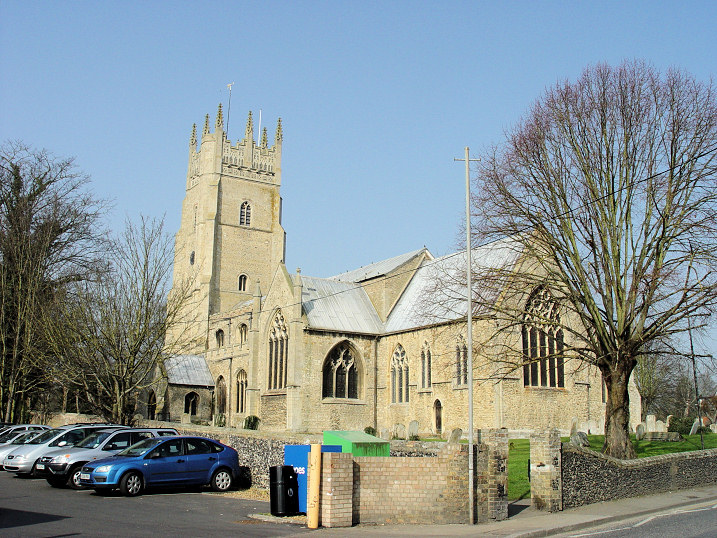