The Churches of Britain and Ireland
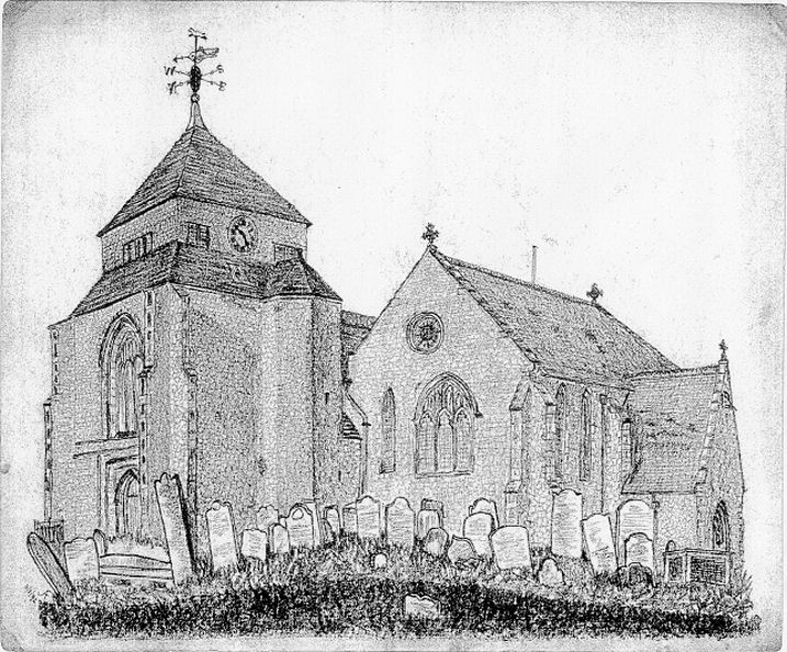
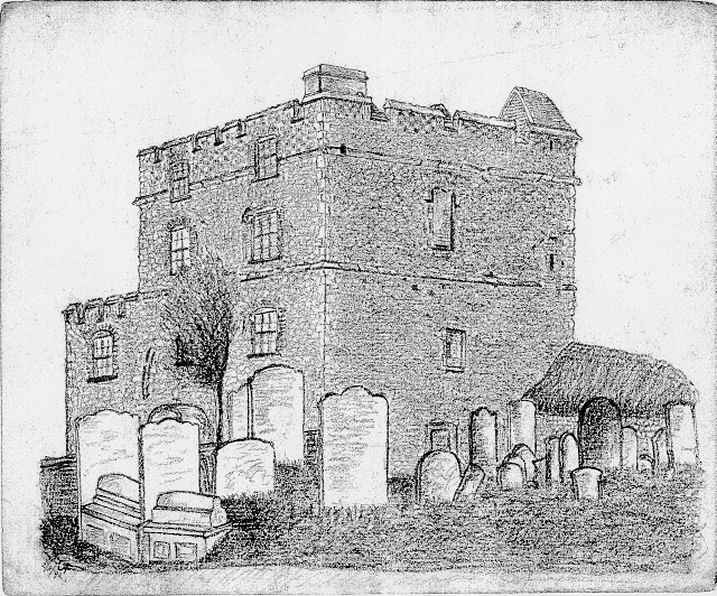
| Minster (Sheppey), Kent
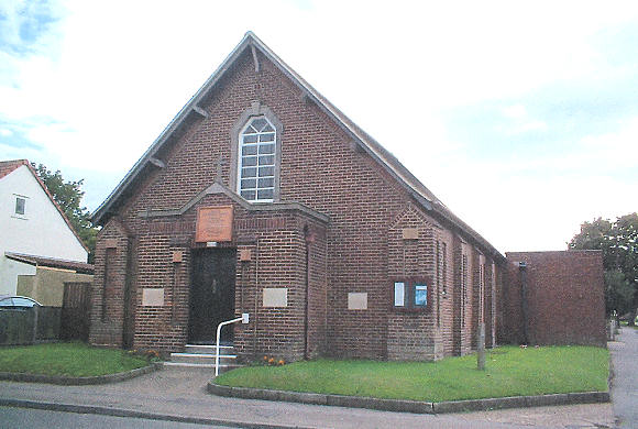
Bethel Congregational Church on Chapel Street is dated 1869. A map of 1898 labels it as Bethel Chapel (Independent). 2023 Streetview. TQ 9580 7294. Link. Methodist Church on Wards Hill Road and Highview Road. TQ 9541 7324. © Geoff Watt. At some point between 2009 and 2022 this had become New Covenant Church - 2022 Streetview. Link. Minster Road Baptist Church as seen by Streetview in 2009. A map of 1898 shows a smaller Baptist Chapel on the same site. TQ 9348 7296. Link. Older maps show a Mortuary Chapel in the cemetery on Halfway Road, at TQ 9307 7313. It hasn't survived. It site lies just with the gates seen in a Streetview from 2023. St. Peter (2019 Streetview) on Queenborough Road and St. Peter's Close, at TQ 9260 7266. Its predecessor stands directly across St. Peter's Close - 2022 Streetview). Sheppey Islamic Cultural Centre (2023 Streetview) on Minster Road. TQ 9325 7292. Link. The Immaculate Heart of Mary (R.C.) on the B2008 and Harps Avenue, as seen by Streetview in 2023. As of 2025 Google Streetview is labelling it as Temporarily Closed. TQ 9495 7274. Link.
|
||
29 July 2025
© Steve Bulman
Contact Details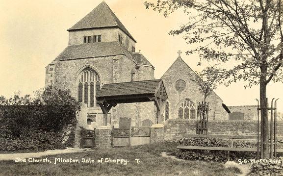