The Churches of Britain and Ireland
|
Marazion, Cornwall
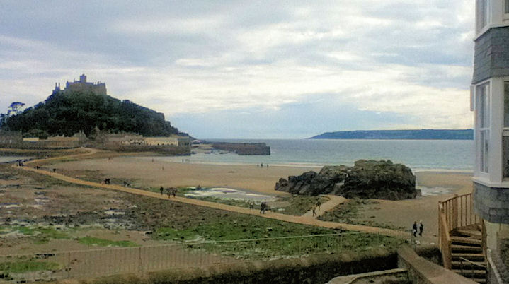
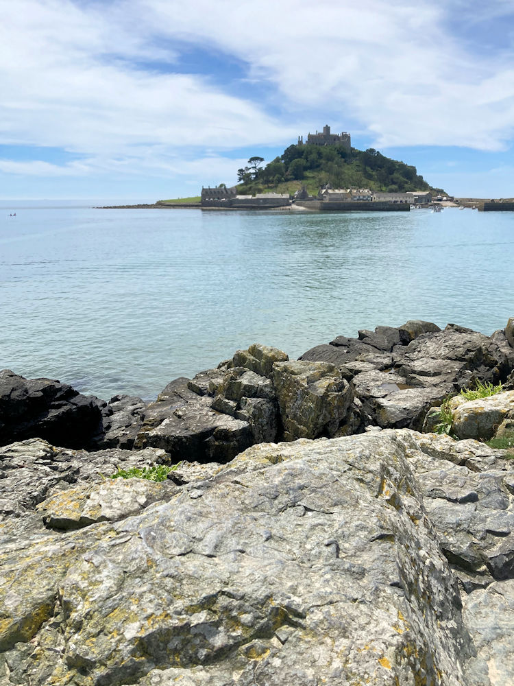
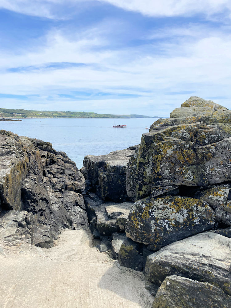
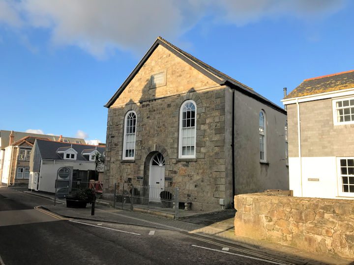
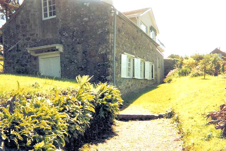
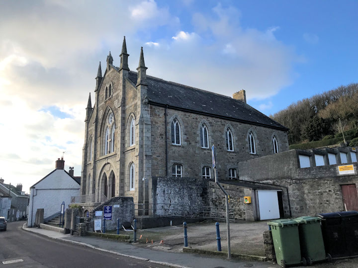
A map of 1878 shows a Baptist Chapel (Particular) off Fore Street at SW 5212 3070. Whether the building seen by Streetview in 2018 is the converted chapel, or a newer building is unclear. A Bible Christian Chapel is shown on a map of 1878 off the south side of Fore Street at SW 5222 3070. It's dated here to 1841, closing by 1901 when it was being offered for sale. Demolished at some point, its site (behind other buildings) can't be seen on a Streetview. A pile of rocks on the beach is known as Chapel Rock, and was the site of a shrine dedicated to the Virgin Mary. According to this website (no longer available in 2026), it survived until 1645. Possible remains of walls and floor or "seating" - 1, 2. SW 5167 3050. All © Paul E. Barnett (2014 & 2026). The former Ebenezer Chapel, which stands between North Street and West End, has been converted to residential use. The date-stone reads "Methodist Free Church 1862". A map of 1878 labels it as Wesleyan, and a 1940 list of Methodist places of worship indicates that this had also been a United Methodist church before the 1932 merger. The documents inventory in the National Archives suggests that it may have closed no later than 1967, even though it's still indicated as active on an O.S. map of 1976-7. SW 5172 3066. © Paul E. Barnett (2024). Link. Grade II listed. Society of Friends on Beacon Road. SW 5185 3070. © Rob Brettle. Link dates it to 1688. The Methodist Church (Wesleyan, 1893) on Fore Street. SW 5207 3065. © Paul E. Barnett (2024). Link. Grade II listed. What in all likelihood was its predecessor is shown on a map of 1878 nearby, off the south side of Fore Street at SW 5210 3062. The access to it was down the narrow alleyway and round to the right in this Streetview from 2009.
|
||
30 June 2026
© Steve Bulman
Contact Details