The Churches of Britain and Ireland
| Loftus,
North Yorkshire
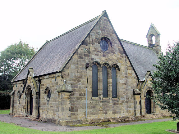
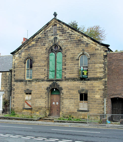
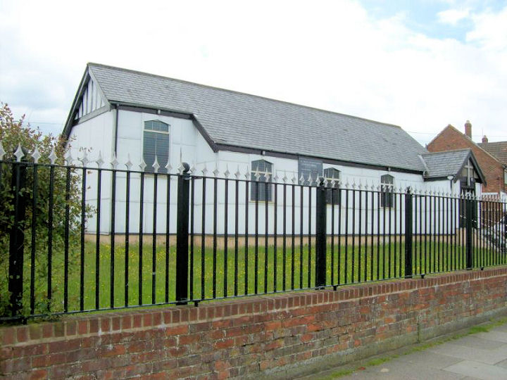
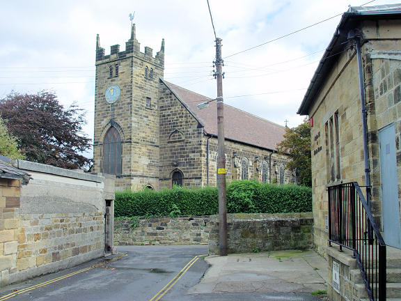
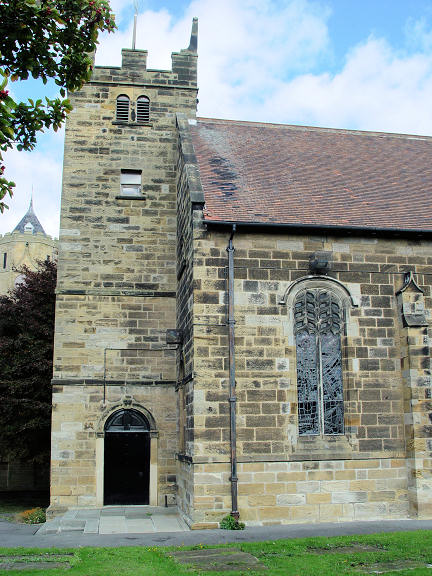
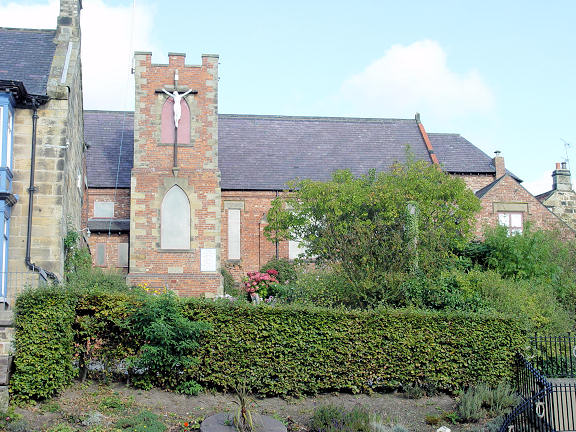
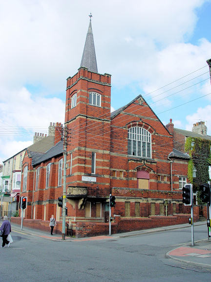
The 1856 O.S. map shows Ebenezer Chapel (Independent) on North Road and Chapel Row. It seems to have survived as the building seen by Streetview in 2025. An old photo of it (Old Congregational Chapel) can be seen here, where it's dated to 1827, "replaced in 1906" (for which see U.R.C., below). NZ 7218 1824. Grace Community Church stands on Deepdale Road, and was seen by Streetview in 2025. NZ 7144 3849. Link. Kingdom Hall of Jehovah's Witnesses on Water Lane. NZ 7218 1809. © Steve Bulman (2007). Grade II listed, wherein it's dated to circa 1840, originally a secular building. The cemetery on the Whitby road has a double Mortuary Chapel. Old large-scale O.S. maps show that the western part of the building was designated for the Church of England, and the eastern half for Nonconformists. NZ 7305 1815. © Steve Bulman (2007). The former Primitive Methodist Church on Arlington Street. It's dated here to 1853, on the site of an earlier small chapel. NZ 7246 1823. © Steve Bulman (2007). Ken Roddam has advised that the church has been demolished - Streetviews show that it went between August 2021 and June 2023. There was another P.M. Chapel on Cliff Crescent (previously Bank Top), at NZ 7131 1843. This source dates it to circa 1911, and its site was seen by Streetview in 2025. The same source says it was badly damaged by a landslide in 1929, whereupon a new P.M. Chapel was built off Deepdale Road. It survives as the hall which stands to the rear of Grace Church. 2025 Streetview. Yet another P.M. Chapel shows on the O.S. map from 1856, on Dam Street. Unfortunately, the map isn't clear about which building is meant, and none of the buildings there today shouts "Chapel". A 2025 Streetview provides a general view - the chapel could have stood on either side of the road. Circa NZ 7239 1815. St. Hilda on Liverton Road and St. George's Terrace, Liverton Mines, at NZ 7141 1800. © David Regan (2016). In 2026, the church website was advising that the church was currently closed "because of structural issues". It also says that they were planning to build a replacement church on the same site, starting in 2020. The most recent Streetview (2025) shows that the work still hasn't started. In the meantime, the congregation was said to be meeting in the Liverton Mines Community Centre. This is likely to be the village hall on Cleveland Street, seen by Streetview in 2021. St. Leonard on Water Lane. Another view. NZ 7220 1813. Both © Steve Bulman (2007). Link. Grade II listed. St. Joseph and St. Cuthbert (R.C.) on High Street. NZ 7231 1823. © Steve Bulman (2007). Link. U.R.C. stands at the junction of West Road and Westfield Terrace. See also the Ebenezer entry, above. NZ 7185 1827. © Steve Bulman (2007). A To Let webpage (dated March 2022) shows that the church had been closed by then. A former Wesleyan Methodist Chapel stands on Liverton Terrace, Liverton Mines, at NZ 7117 1798. A Streetview from 2021 shows a date-stone (1874) above the blocked doorway. Another Wesleyan Methodist Chapel shows on the earliest available O.S. map (1856) on a site between Victoria Terrace and East Crescent, at NZ 7253 1824. A photo of it can be seen here, where it's dated to 1876, as the Newton Memorial Chapel. If that date is correct, then it must have had a predecessor on the same site. A house now stands on its site (2025 Streetview)
|
||
24 January 2026
© Steve Bulman
Contact Details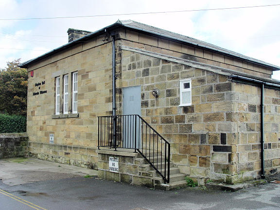