The Churches of Britain and Ireland
|
Llandudno, Conwy
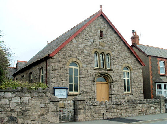
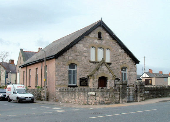
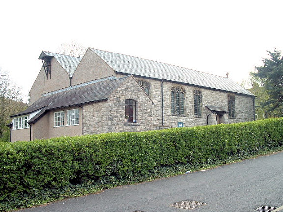
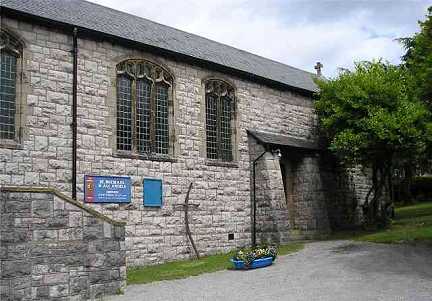
Llandudno Junction on Wikipedia. Former Baptist Chapel (labelled as such on a map of 1920), now Canolfan Iman Centre, on Glyn-y-Marl Road. SH 7972 7793. © Mike Berrell. Capel Coffa (2023 Streetview) on Broad Street and St. David's Avenue. Its Coflein entry lists it as Independent, of 1902. SH 7951 7806. A map of 1901 marks an Independent Chapel nearby on Victoria Drive at SH 7939 7804 - presumably its predecessor. Aerial views suggest it hasn't survived, but it stood behind the later housing seen in a Streetview from 2023. Eglwys Bresbyteraidd Cymru at Pensarn, formerly a Calvinistic Methodist Chapel, dating from 1888. SH 8047 7766. © Mike Berrell. Link. Most Holy Family (R.C.) on Bryn Eglwys, as seen by Streetview in 2022. SH 7933 7811. Link. The O.S. map of 1901 shows a Presbyterian Church on Victoria Drive at SH 7930 7798. A Streetview from 2022 shows the larger and more recent English Presbyterian Church which stands on its site. As of 2024, Google Streetview is showing it as "permanently closed". Preswylfa Methodist Chapel on Conwy Road and Queen's Road. Seventh-day Adventist Church also meets here. SH 7987 7779. © Mike Berrell. St. Michael and All Angels, on Glyn-y-Marl Road. SH 7979 7816. © Mike Berrell. Another view, © Noel Walley. Link.
|
||
04 April 2024
© Steve Bulman
Contact Details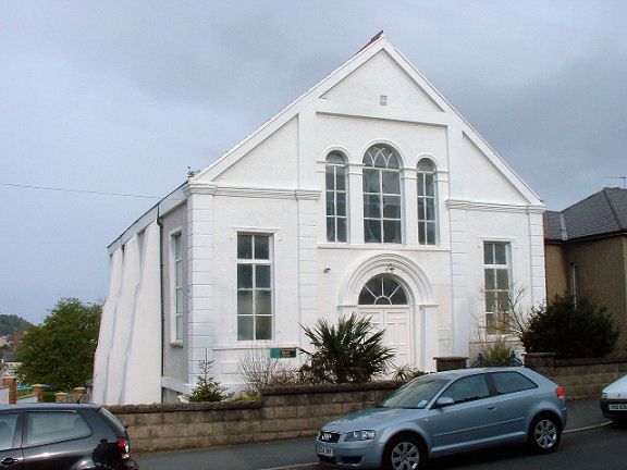