The Churches of Britain and Ireland
| Lewis, Western Isles
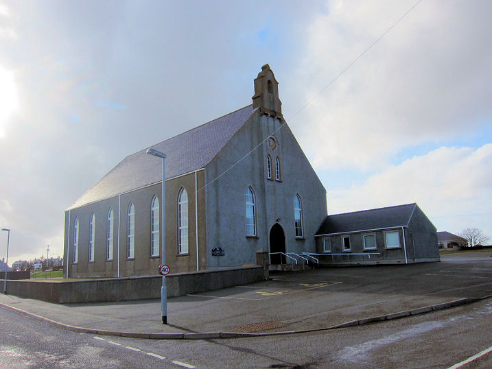
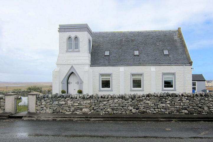
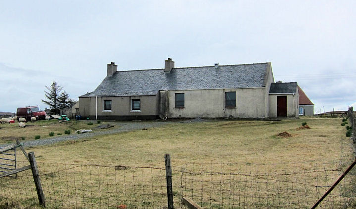
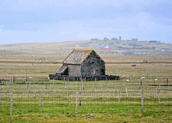
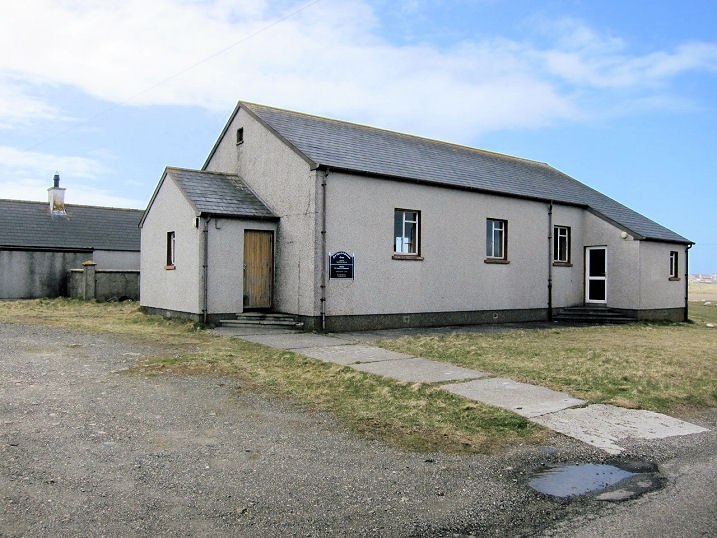
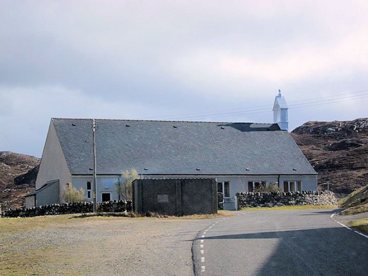
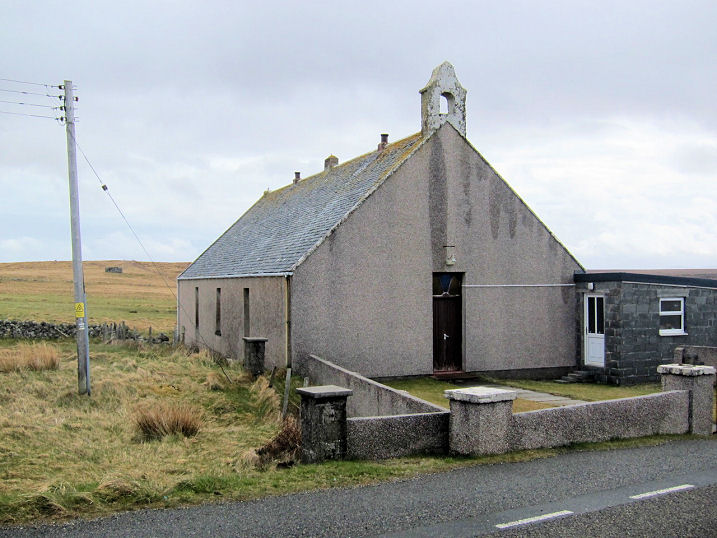
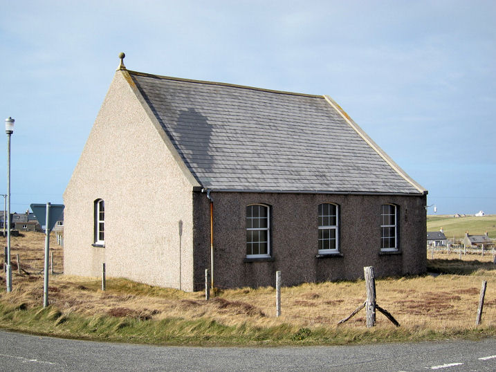
Back, Back Free
Church. There are also references to the settlement being known as Coll.
Another view. NB 4825
4005. Both © Martin Richter (2013). The brief
Canmore entry.
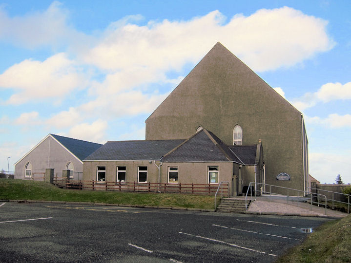
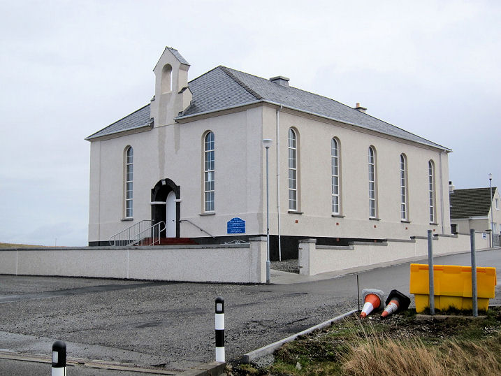
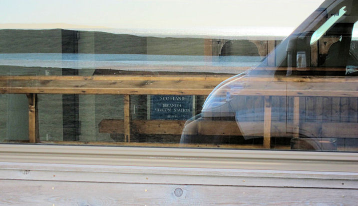
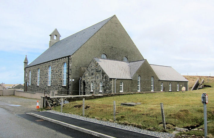
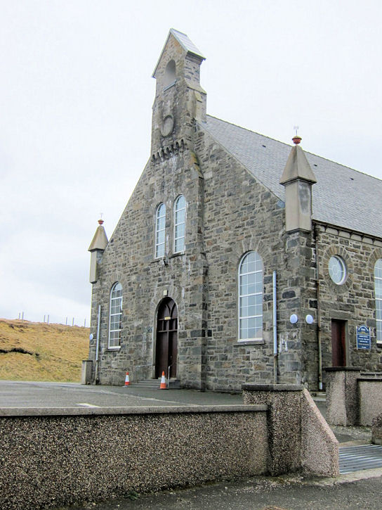
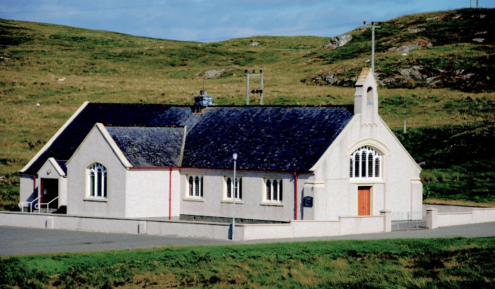
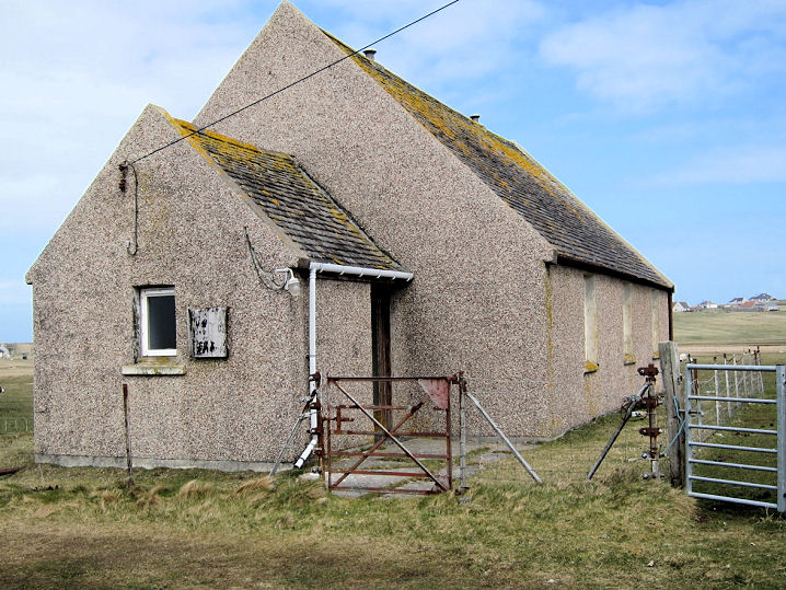
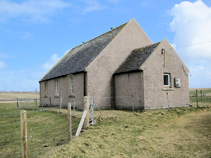
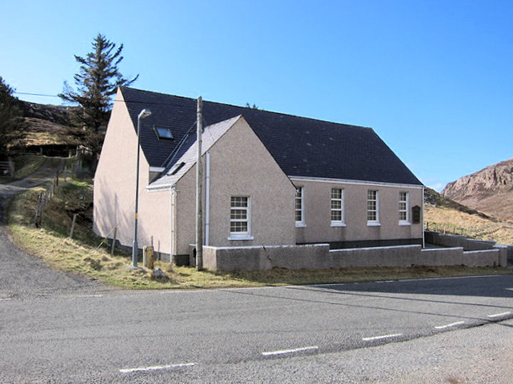
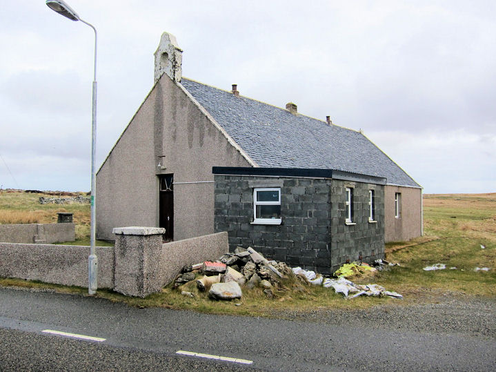
Callanish,
Free Church of Scotland.
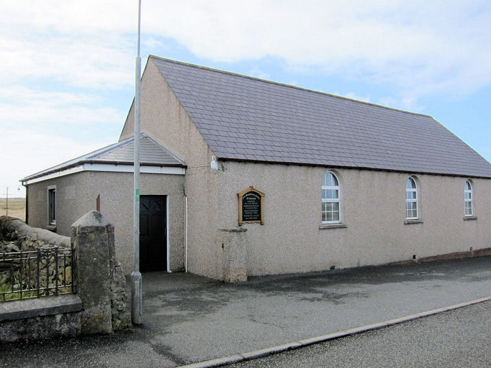
Another view. NB 218 340.
Link. The former(?)
Mission Hall (CoS) at NB 219 336. Current status is uncertain, but
from its absence from the Church of Scotland website, and its condition,
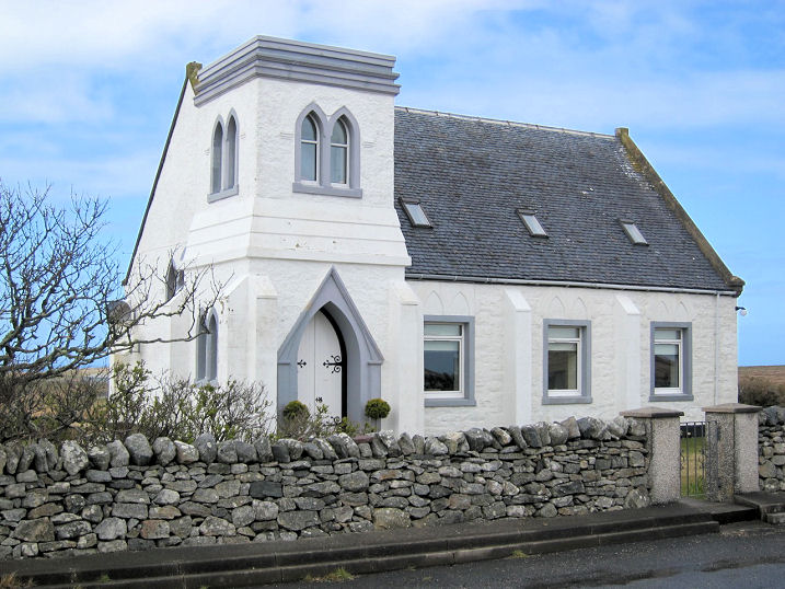
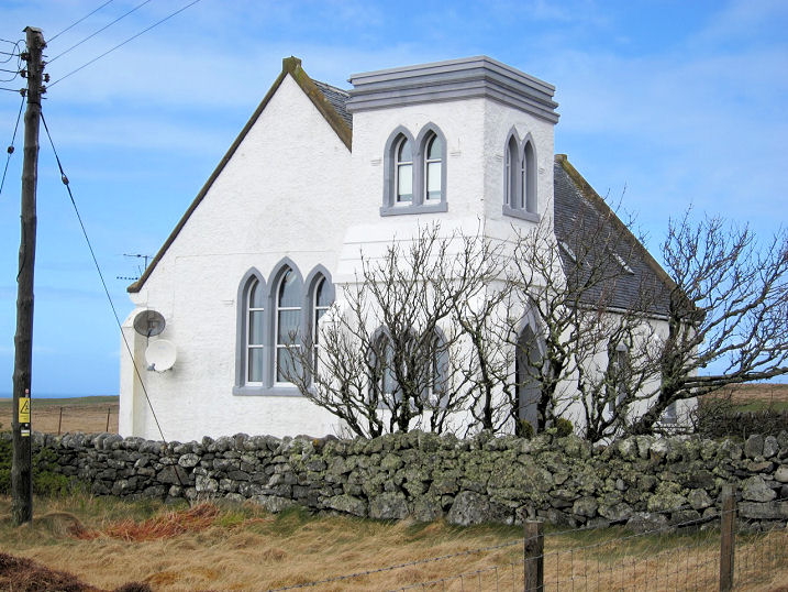
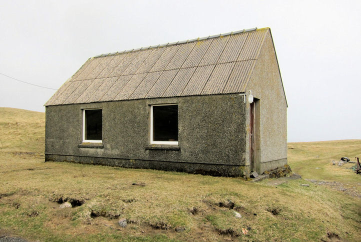
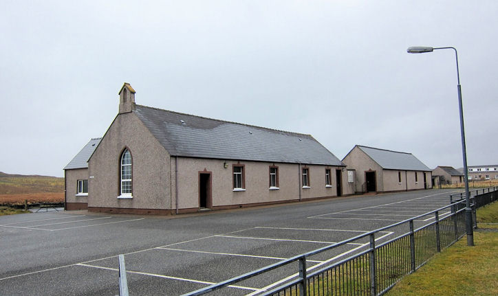
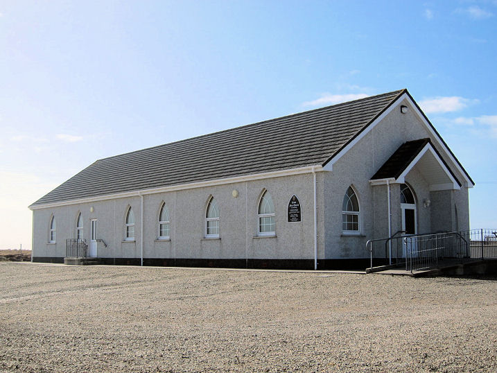
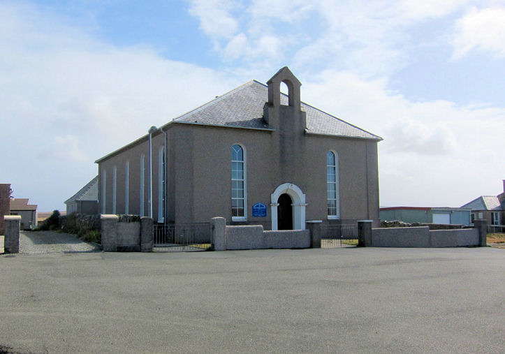
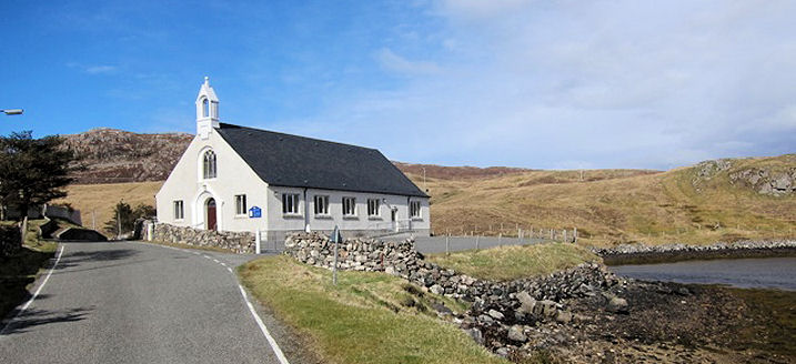
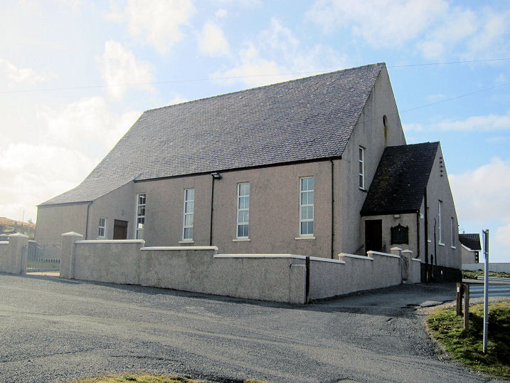
it is probably closed. All © Martin Richter (2013). Eoropie, St. Moluag (Episcopal). NB 5195 6515. The northernmost church on Lewis, it was restored from a ruin in 1912. The building itself is of uncertain age, though old, and it stands on an ancient site. © Martin Richter (2013). Link1. Link2. Link3. Link4. Kinloch, Church of Scotland, dating from 1911. NB 3223 3304. © Donnie Macleod (2002). Lionel, Free Presbyterian Church. Another view. NB 5256 6367. Canmore entry. Lionel Meeting House of Cross Free Church. Old maps show that the present building had a predecessor nearby. The present church is at NB 5232 6416, parallel to the road; the earlier building stood at NB 5234 6414, at 90 degrees to the road. The maps to which I have on-line access only de-limit it's dates as having been built between 1853 and 1897; the present church between 1974 and 1992. A Church of Scotland Mission stands quite close to the meeting house, on the other side of the road, at NB 5235 6418. Another view. All © Martin Richter (2013). Miavaig, Uig Church of Scotland. Another view. This link has some history, from wherein we learn that it was originally the Free Church (at Ceann Langabhat, or Miavaig) from 1843, Uigen Church (CoS) from 1972, and that it united with the nearby Baile na Cille Church in 1979. Baile na Cille church (1829) which is Grade B listed stood at NB 053 343. Still in use in 1998, it was subsequently closed, and was for sale in 2009 - see on Google Maps here. There is a comprehensive history (with photos) of it here. More here. NB 087 348. Both © Martin Richter (2013). Free Presbyterian Church of Scotland. NB 0870 3485. © Martin Richter (2013). Link. North Tolsta, Free Church. NB 538 475. © Martin Richter (2013). Howard Richter advises of a former Free Presbyterian Church building, which can be seen in a 2009 Streetview here.
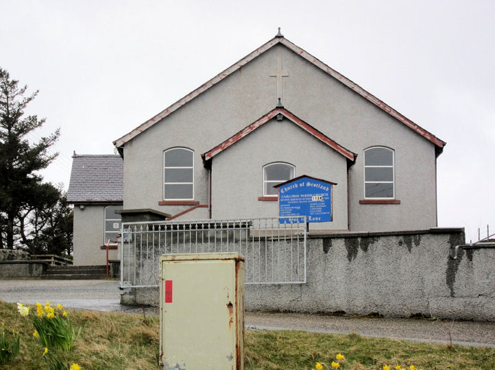
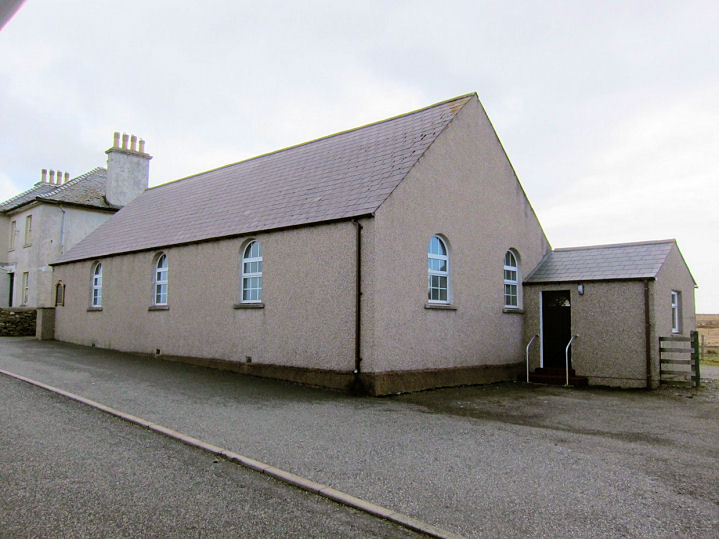
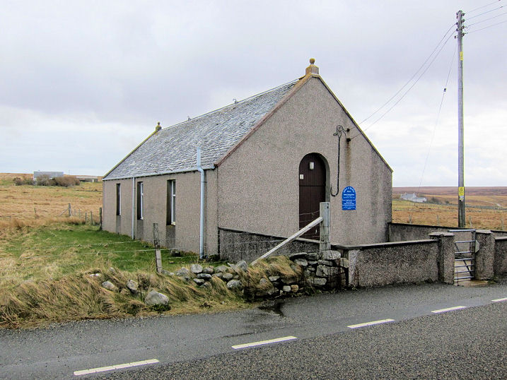
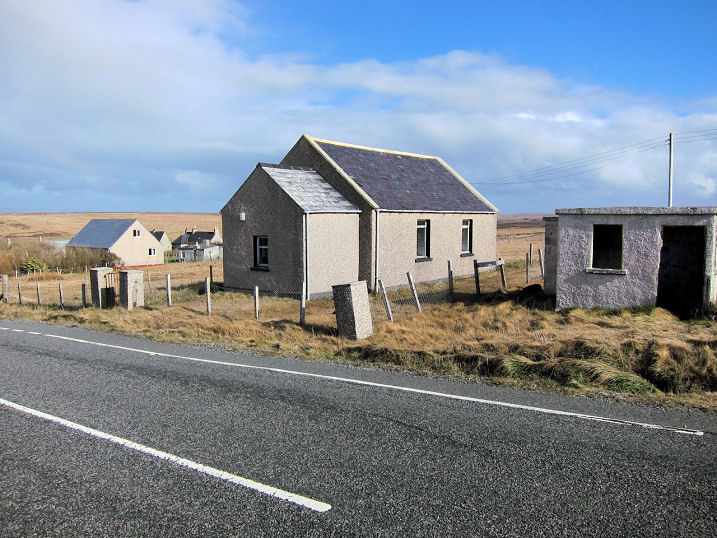
Shader, Church of Scotland .
NB 3887 5424. Free
Church.
Another view. NB 3896 5434. All © Martin Richter (2013). Both
churches get a (brief) mention
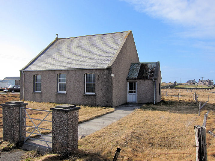
here. South Dell, the former South Dell Meeting Hall (Church of Scotland). Another view. NB 488 611. A un-dated property website entry has some more photos, including the interior. The former Ness Free Church (1844-5) stands nearby. It had a "Sold" sign in 2013. Another view. NB 4877 6113. Canmore entry. All © Martin Richter (2013).
|
||
10 October 2023
© Steve Bulman