The Churches of Britain and Ireland
|
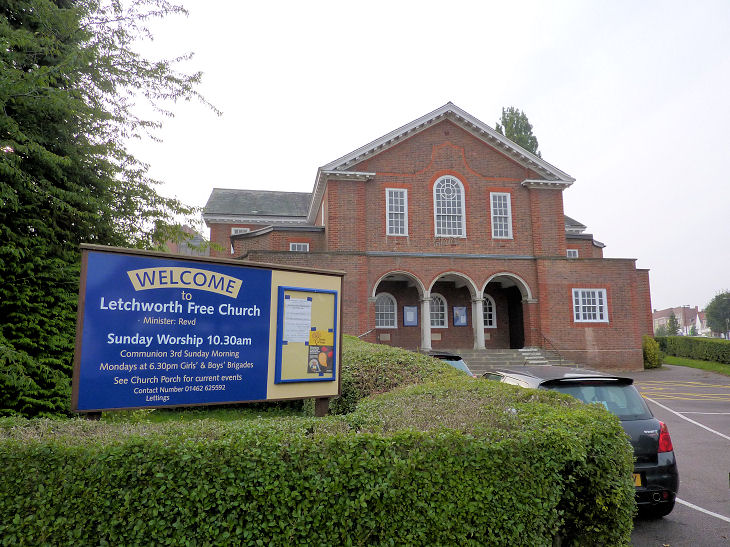
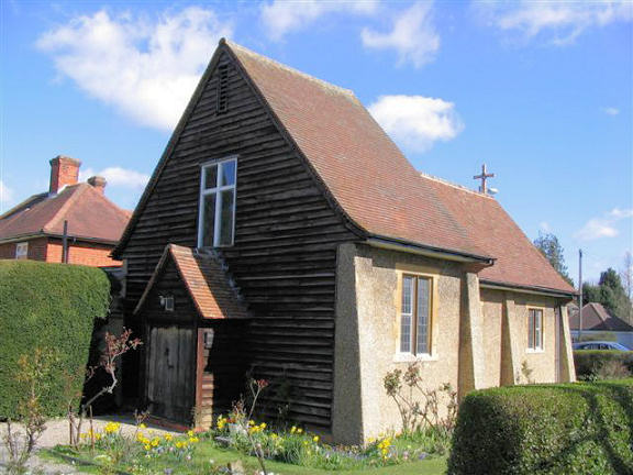
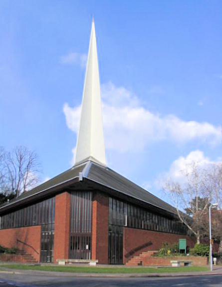
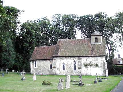
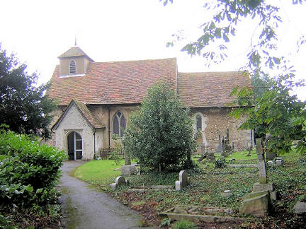
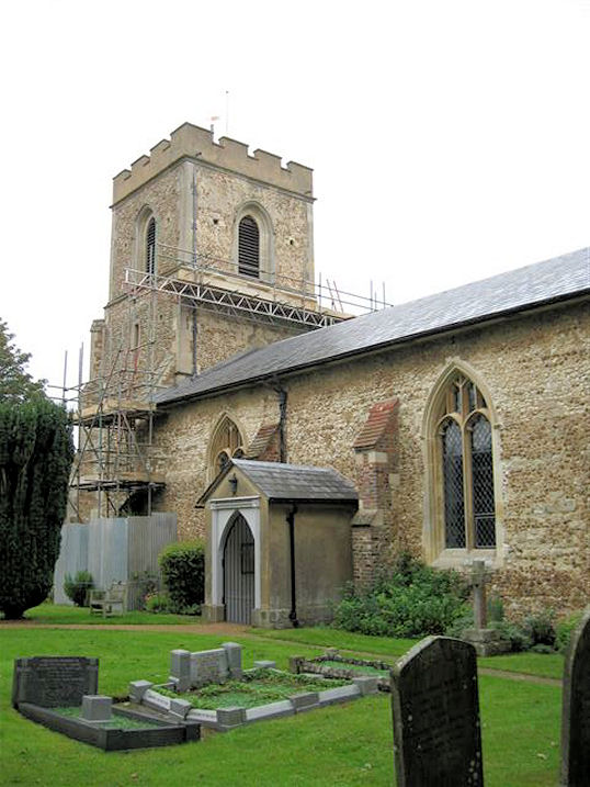
Letchworth, Hertfordshire The Baptist Church on Broadwater Avenue and West View, as seen by the Streetview van in 2016. Two more Streeviews - 1, 2. TL 2138 3217. Link. The Streetview camera saw Brotherhood Hall, which stands on Gernon Road, in 2010. Maps of the mid-1960's label it as a Mission Hall. TL 2173 3242. Central Methodist Church on Norton Road and Pixmore Way. It was previously Wesleyan. Map evidence dates it to the first two decades of the 20th century. TL 2208 3228. © Les Needham. Link. The Friends' Meeting House (1907) on South View, as seen by Streetview in 2018. TL 2189 3194. Link. Grade II listed. Grange Baptist Church on Danescroft, as seen by the Streetview van in 2009. Another Streetview, from the same year. Map evidence suggests that it dates from the 1960's. TL 2195 3415. Link. Kingdom Hall of Jehovah's Witnesses on Southern Way and Curlew Close was seen by the Streetview van in 2019. TL 212 342. Letchworth Buddhist Centre (Dhamma Nikethanaya Buddhist Academy) on Pix Road, was seen by Streetview in 2020. TL 2257 3262. Their website says it was founded in 2004. Letchworth Free Church (U.R.C., 1923) on Norton Way South. TL 2205 3254. © Christopher Skottowe (2013). Grade II listed. Letchworth Garden City Church (Elim Pentecostal) on Icknield Way, as seen by Streetview in 2020. Circa TL 223 333. Link. Kings Community Church on Whiteway, as seen by the Streetview van in 2009. It was a plant from King's Baptist Church in Stotfold, for which see the Stotfold page. It was previously Radburn Way Chapel (Christian Brethren). TL 2340 3174. Link. A Mission Room once stood at the corner of Gernon Road and Commercial Avenue. The site where it stood was seen by Streetview in 2020. TL 2184 3247. The Nanaksar Thath Isher Darbar (Gurdwara) on Gernon Walk was seen by Streetview in 2020. It was formerly a Christian Science Church, TL 2185 3240. Link. Norton Methodist Church (originally Primitive Methodist) on North Avenue, was seen by Streetview in 2009. The smaller building to the right is the original Mission Room, so labelled on a map of 1922. The present larger church is later. Another Streetview, of 2016. TL 2273 3378. Link. There was at one time a Primitive Methodist Chapel on Broadway. It seems to have closed by 1940, and was demolished at some unknown date. TL 2163 3251. A Streetview from 2015 shows an open area where the chapel once stood. St. Alban (Liberal Catholic). Their board explains "This is an independent church which combines the ancient form of sacramental worship with the utmost liberality of thought. It leaves its members free in matters of belief". TL 2207 3218. © Les Needham. Another view from Streetview in 2009. St Gabriel once stood on Spring Road at TL 2122 3229. Shown on older maps as Mission Room, it seems to have been active at least into the 1970's. It was in use as a Scout HQ in 2015, and was seen by Streetview. St. George on Norton Way North and Common View, Norton. Its grade II listing dates it to 1962-3. TL 2220 3354. © Les Needham. What is today the church hall on Common View served as the church from its opening in 1915. TL 2226 3358. It can be seen in a Streetview of 2016. St. Hugh of Lincoln (R.C., 1962-3) on Pixmore Way. TL 2173 3235. It was preceded by what is now the church hall (Fortescue Hall), also on Pixmore Way, and with the same dedication. It opened in 1908. The church website history page (About the Parish), has a photo of the interior from when it was the church, and Streetview saw it in 2020. TL 2179 3234. St. Mary the Virgin on Letchworth Lane. TL 2175 3091. © Bill McKenzie. Another view, © Dave Westrap. Link1. Link2. Grade II listed. The site of St. Michael and All Angels on Norton Way South, as seen by Streetview in 2018. A photo of the church is available here, where it says it was opened in 1908, as a mission from St. Mary's. TL 2204 3280. It was demolished after its successor, St. Michael the Archangel on West View was opened in 1967. It can be seen here in a Streetview from 2015, and here in 2019. Link. St. Nicholas at Norton. TL 2314 3444. © Les Needham (2010). St. Paul on Pixmore Way can be seen in two Streetviews, here in 2009 and here in 2020. Its Wikipedia entry dates it to 1924. TL 2261 3223. Link. St. Thomas of Canterbury on Bedford Road. Older maps label it as St. Thomas ŕ Becket. It's dated here to 1938. Streetview saw it in 2010. TL 2087 3315. A Salvation Army Hall stands on Norton Way North and Nevells Road. TL 2205 3303. Streetviews from 2020 here and here. Siri Guru Singh Sabha Gurdwara on Icknield Way, as seen by Streetview in 2015. This source dates its foundation to 2005, though whether this was in the current premises is not known. TL 2225 3325. Tabernacle Chapel on Norton Way and Icknield Way West first shows on a map of 1937-8. A map of 1966-8 labels it as Elim Pentecostal Church and it continued as such until the mid 1980's at least. The latest Streetview of 2020 shows it in use as a Montessori school.
|
||
04 March 2023
© Steve Bulman
Contact Details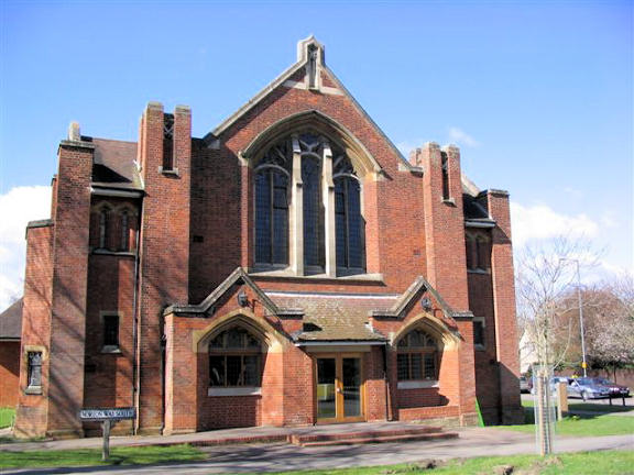