The Churches of Britain and Ireland
| Knottingley, West Yorkshire
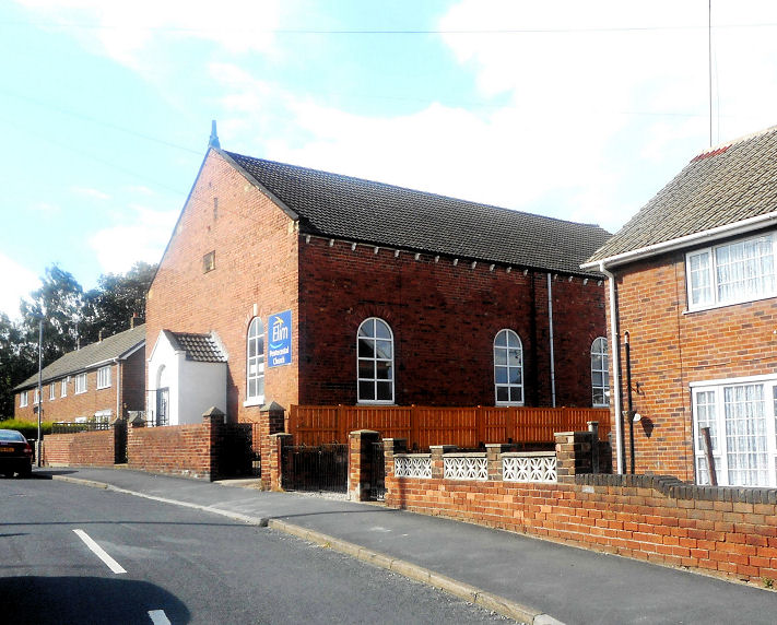
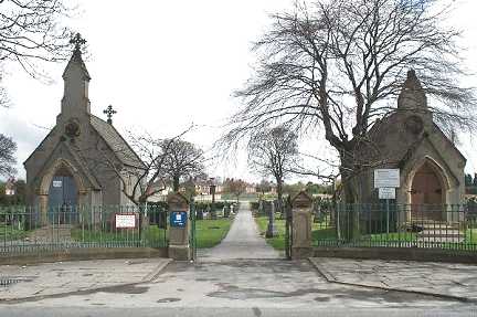
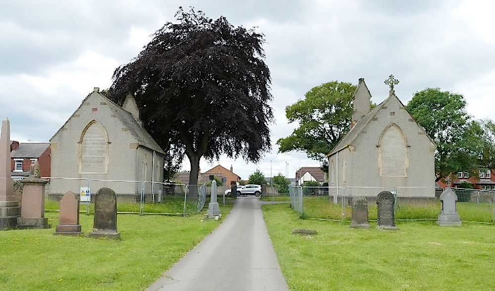
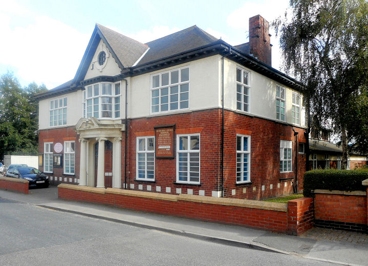
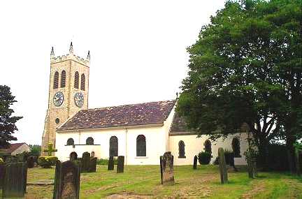
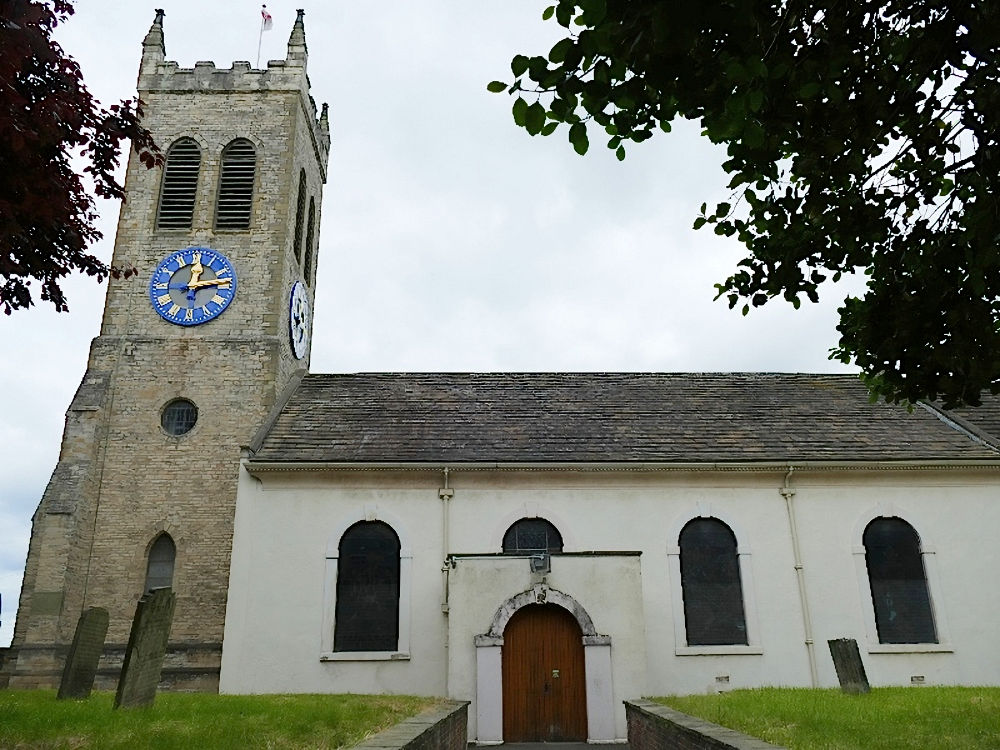
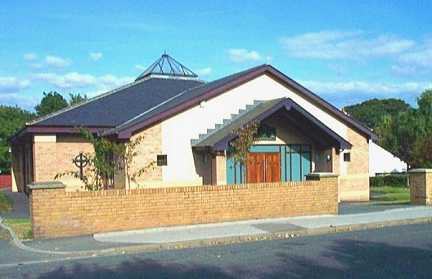
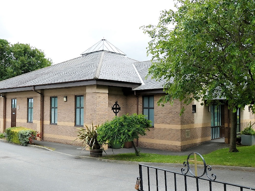
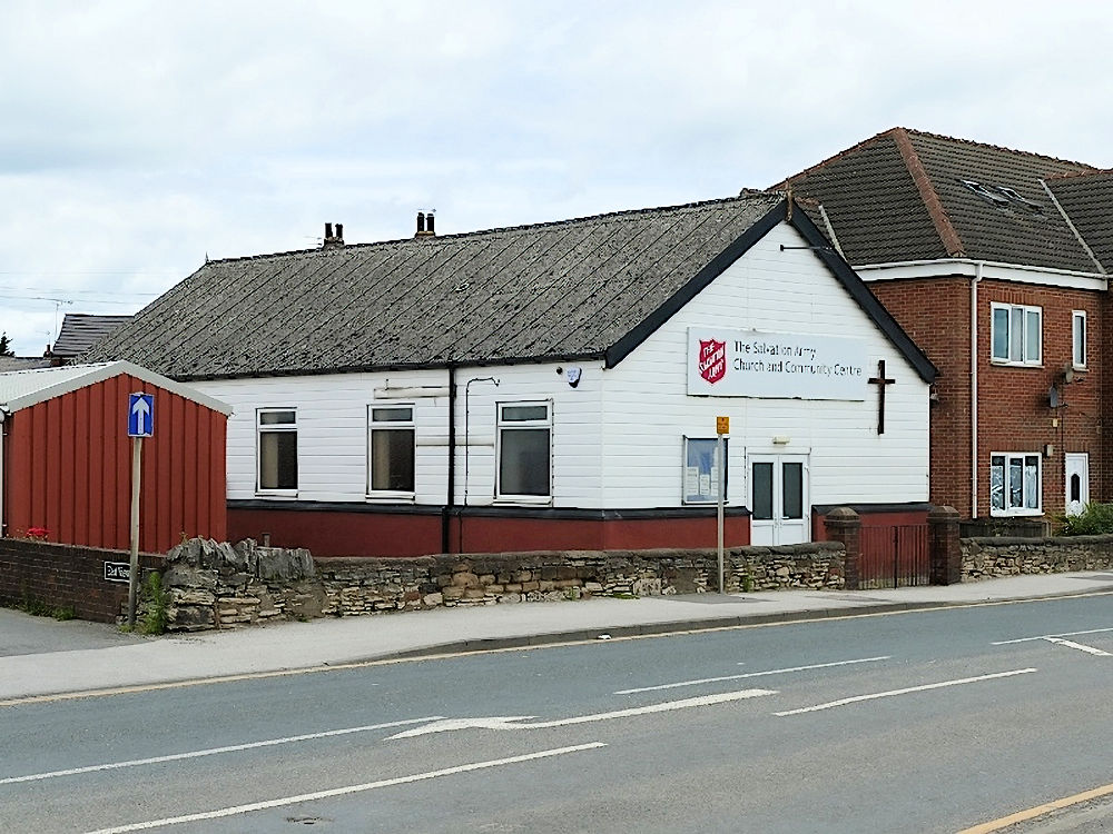
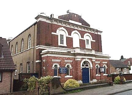
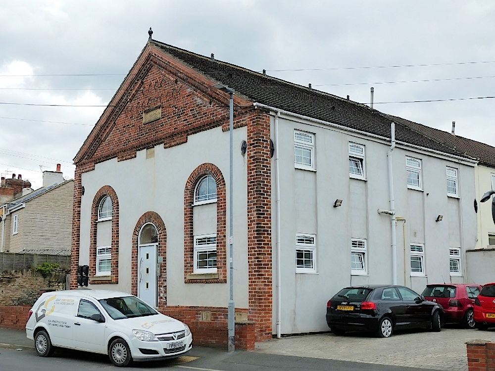
Elim Pentecostal Church on Tithe Barn Road. It has a defaced or eroded date-stone, though the date is still visible - 1882. Older maps label it as Tabernacle. SE 5038 2396. © Bill Henderson (2016). Facebook. The cemetery on Womersley Road has two Mortuary Chapels. © Bill Henderson. In this second view, the chapels were originally Nonconformist (SE 5053 2311) on the right, Anglican (SE 5053 2309) on the left. The cemetery was opened in 1859, providing a terminus post quem for the chapels. © David Regan (2026). Ropewalk Methodist Church. SE 5018 2395. © Bill Henderson (2016). Link. It may be the successor of the demolished Wesleyan Methodist Chapel which stood adjacent at SE 5020 2395, its site now a car park with surviving graveyard at the rear - 2026 Streetview. It pre-dated a map of 1852. Postcards of it can be seen here and here, the latter identifying what is the present church as a school. St. Botolph on Chapel Street. © Bill Henderson. Another view, © David Regan (2026). Link. Grade II listed - dates it to a re-build of a medieval building in 1750, tower added in 1873. St. Michael (R.C.) on Hill Top. SE 4983 2398. © Bill Henderson. Another view, © David Regan (2026). Link. The Salvation Army Church is on Weeland Road. SE 5049 2372. © David Regan (2026). Link. U.R.C. on The Croft and Willow Road was originally Congregational. SE 5028 2408. © Bill Henderson. Link - in 2026 says that the congregation now meets in the Salvation Army Church on Weeland Road. According to this source, the old church was closed in 2021. A map of 1852 has a label for Wesln. Methodt. Chapel (Unoccupied) which seems to be intended for a building on the east side of Primrose Hill. Housing now stands on its site - 2026 Streetview. This was presumably the predecessor of the demolished chapel which stood on Rope Walk. The oldest available map (surveyed no later than 1849) shows Zion Chapel (Primitive Methodist) on Forge Hill Lane, at SE 4929 2403. Converted to residential use, this source dates it to 1832, successor to an earlier chapel of 1818 on Bells Yard (somewhere off Aire Street) - I haven't been able to locate this. © David Regan (2026).
|
||
01 July 2026
© Steve Bulman
Contact Details