The Churches of Britain and Ireland
|
Kilmarnock, East Ayrshire
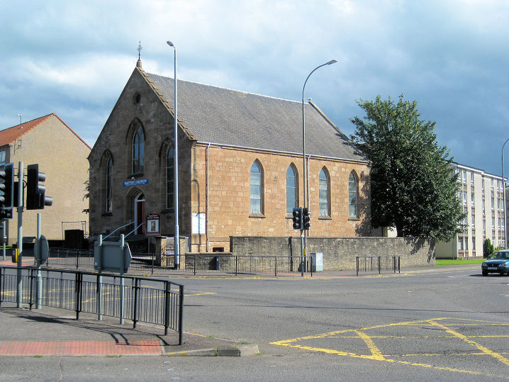
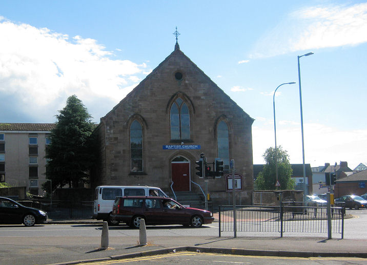
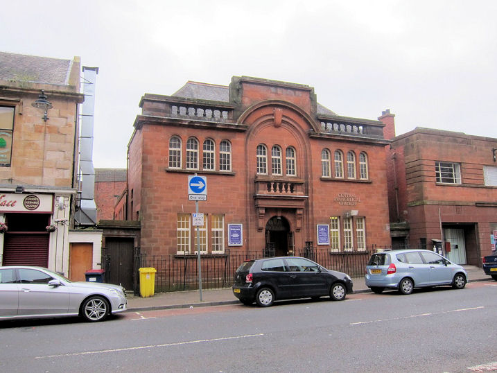
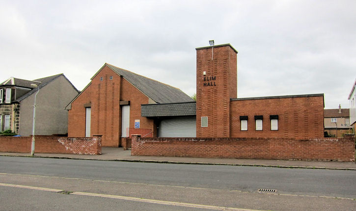
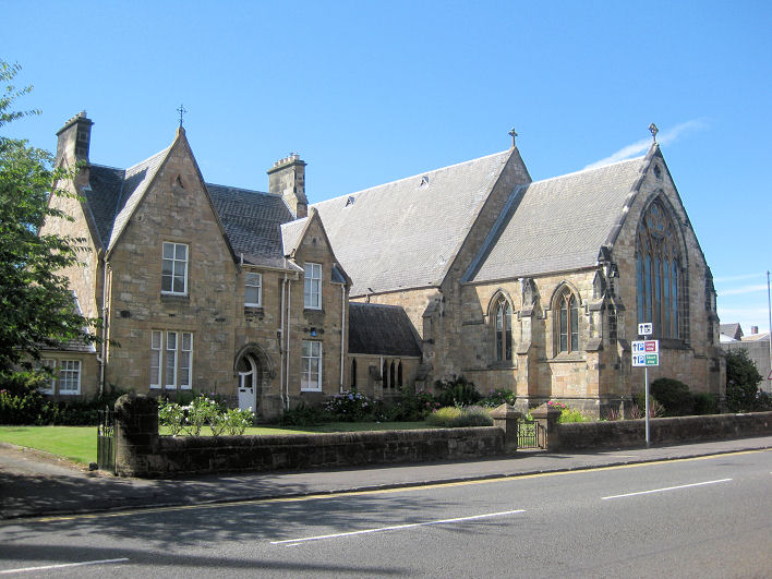
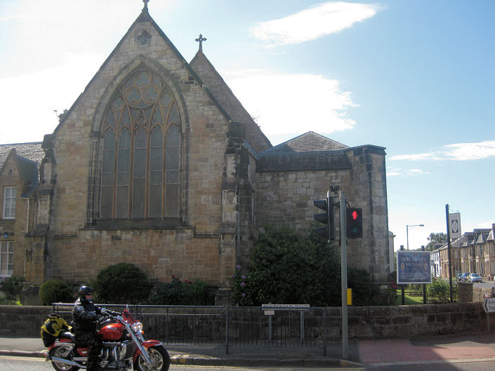
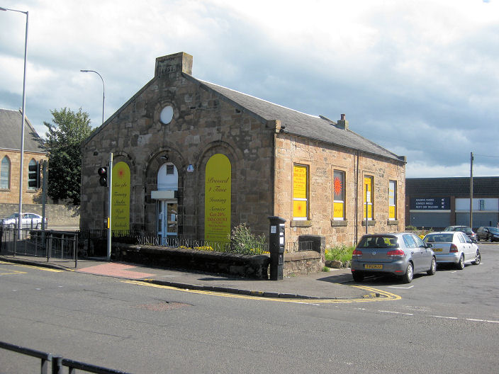
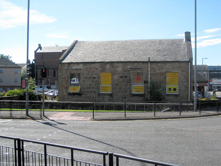
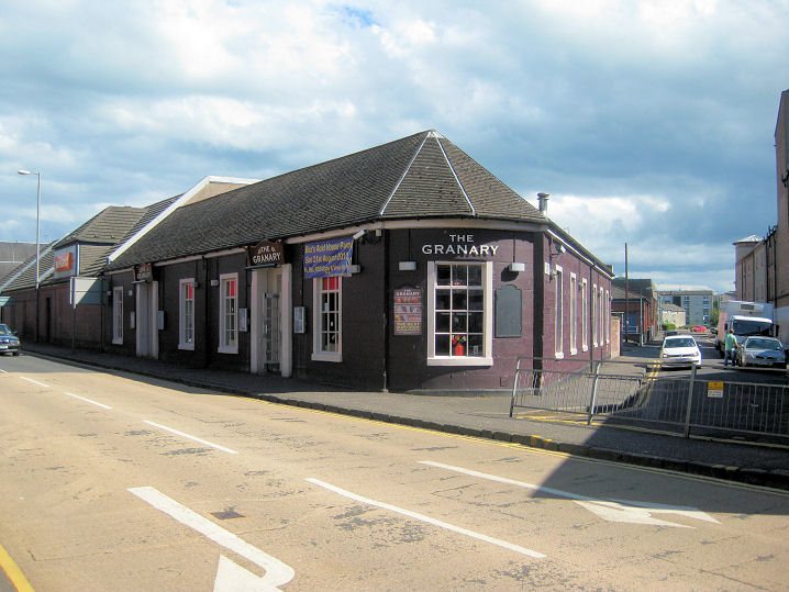
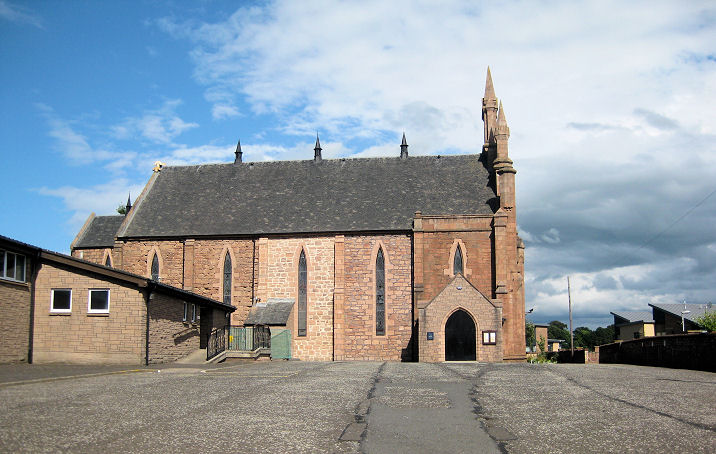
Baptist Church on Fowlds Street. Another view. From old maps, Howard Richter suggests a building date of between 1859 and 1896. NS 429 376. Both © Martin Richter (2013). Link. Central Evangelical Church (Independent) on John Finnie Street at NS 427 380. It pre-dates 1938, when it shows on a map of that year. © Martin Richter (2013). Link. Church of God on Bonnyton Road, aka Bonnyton Hall. Howard Richter advises that the 1937-8 OS map shows this building (or one of similar dimensions) in the same place, marked as "Misn. Hall". Another view. NS 4188 3835. Both © Martin Richter (2013). Link. Church of Jesus Christ of Latter-day Saints on New Street and Witchknowe Road. Another view. NS 431 361. Both © Martin Richter (2013). Elim Hall on Cuthbert Place. Ca. NS 431 386. © Martin Richter (2013). Link. The former Grange Free Church (1879) on Woodstock Street. Another view. An interior view is available here (external website). The congregation merged with Laigh West High Church in 2009 to form New Laigh Kirk (see news item). The church and church hall are both for sale or let as of 2013. NS 425 379. Both © Martin Richter (2013). Link. Some church history. Grade B listed. Holy Trinity (Episcopal, 1857) on Portland Road and Dundonald Road. Another view. NS 426 377. Both © Martin Richter (2013). Link1. Link2. Link3 (news item recording the 150th anniversary). Link4. Link5 (numerous photos). Grade A listed (the Notes section has some interesting background).
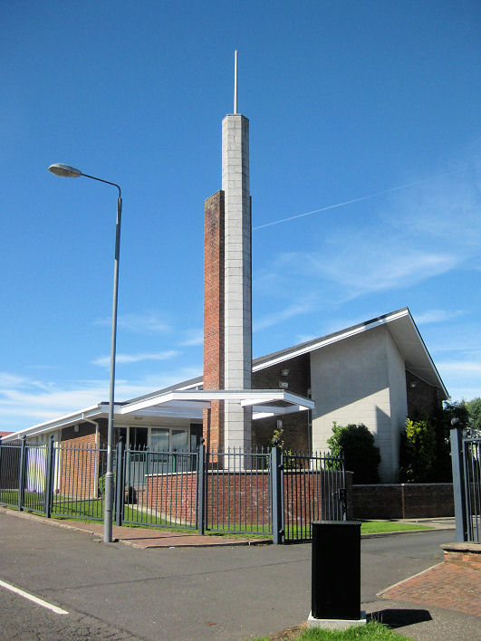
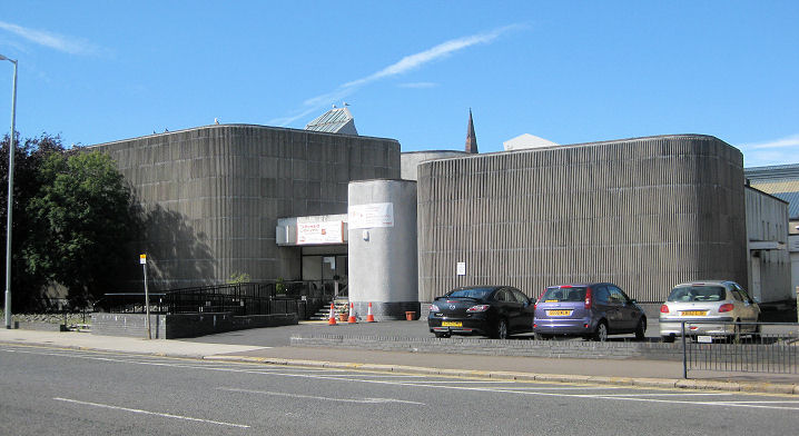
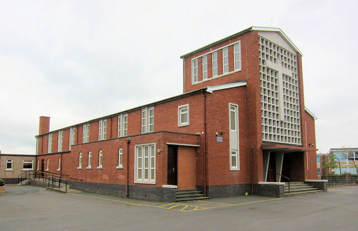
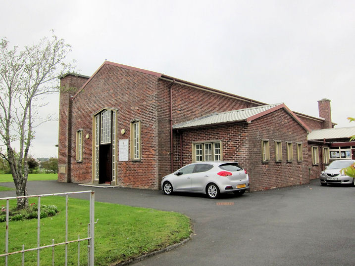
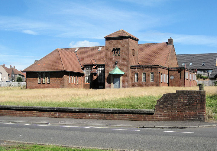
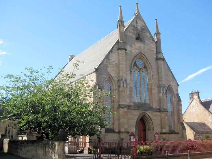
Howard Centre (1970-1) on Portland
Road, previously Howard St. Andrew's Parish Church (CoS). As their website says
"owned and facilitated by Church of Scotland but open to all". NS 426 378. © Martin Richter (2013).
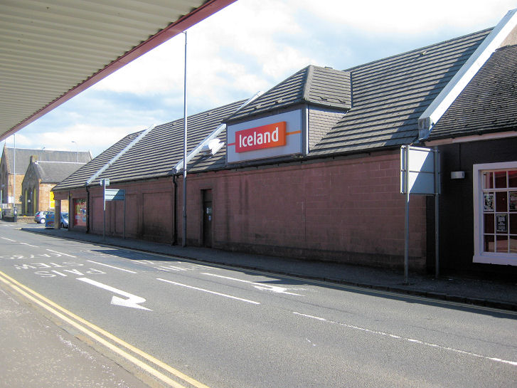
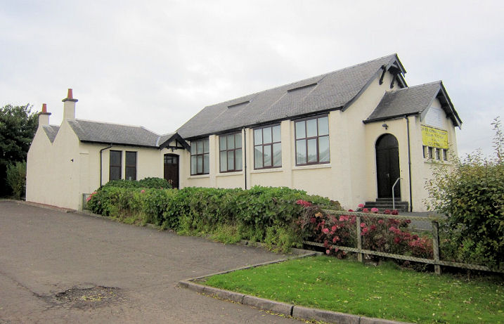
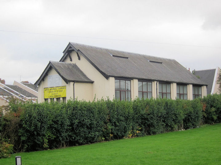
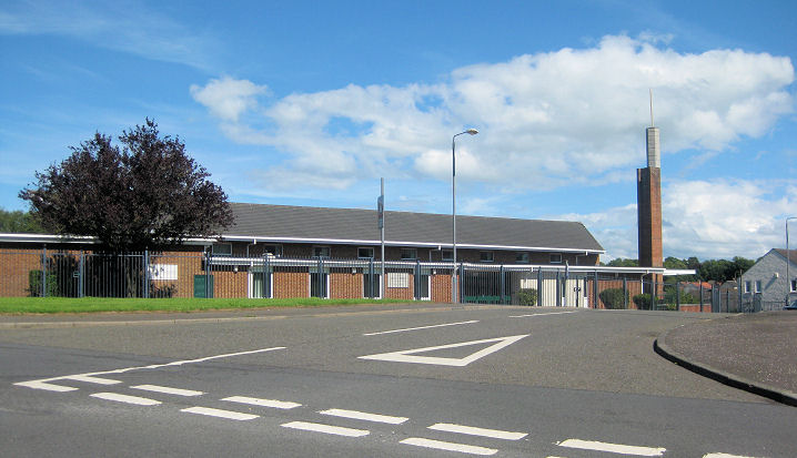
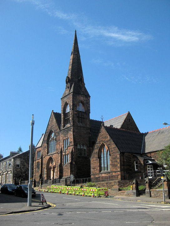
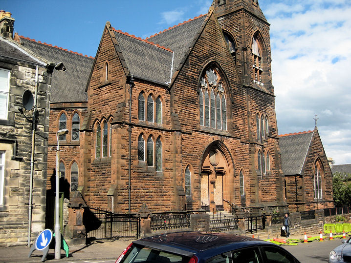
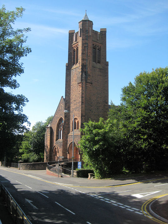
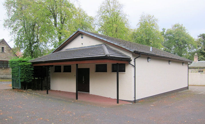
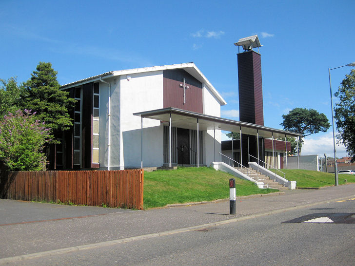
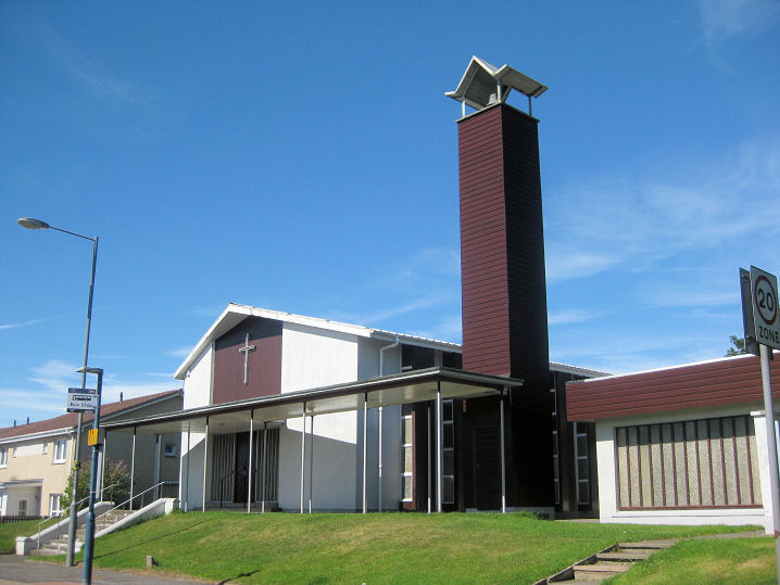
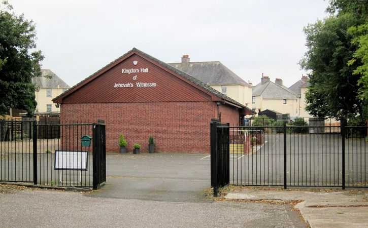
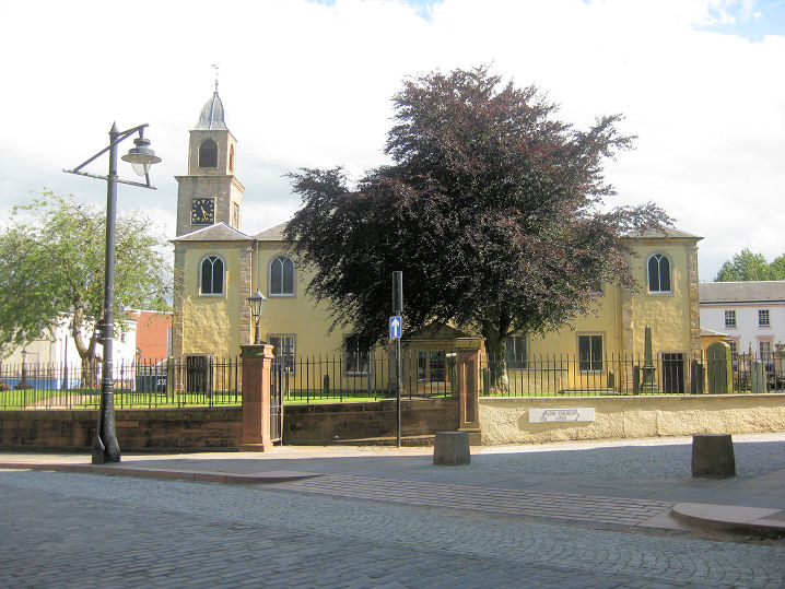
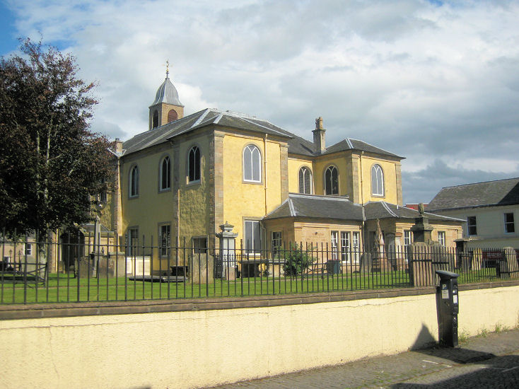
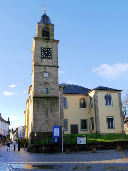
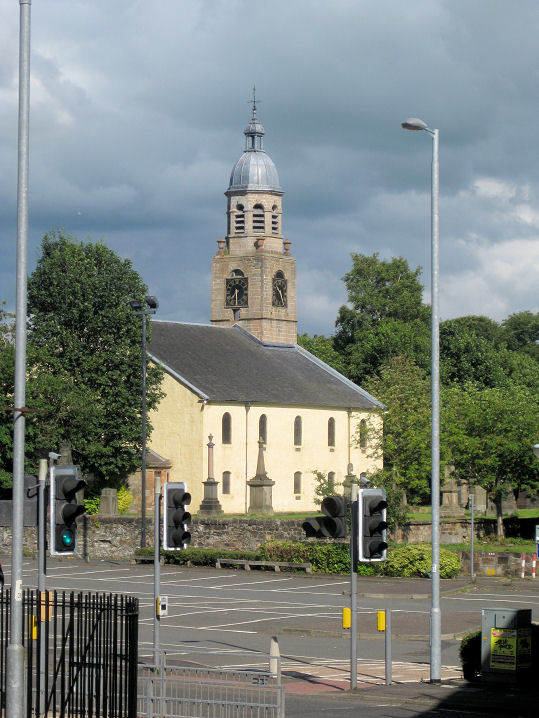
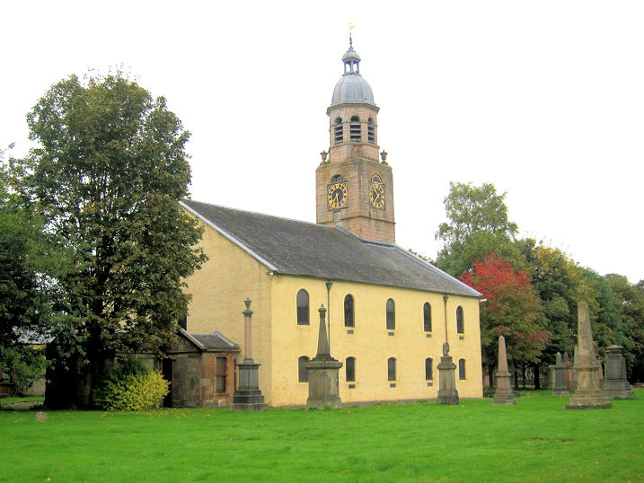
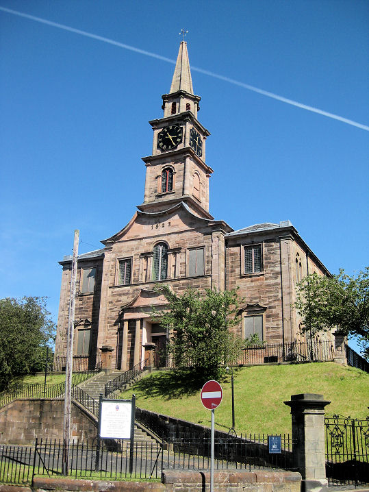
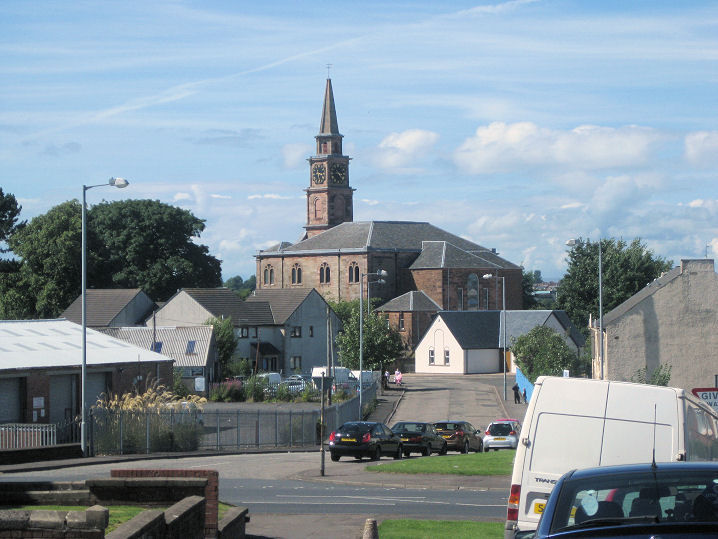
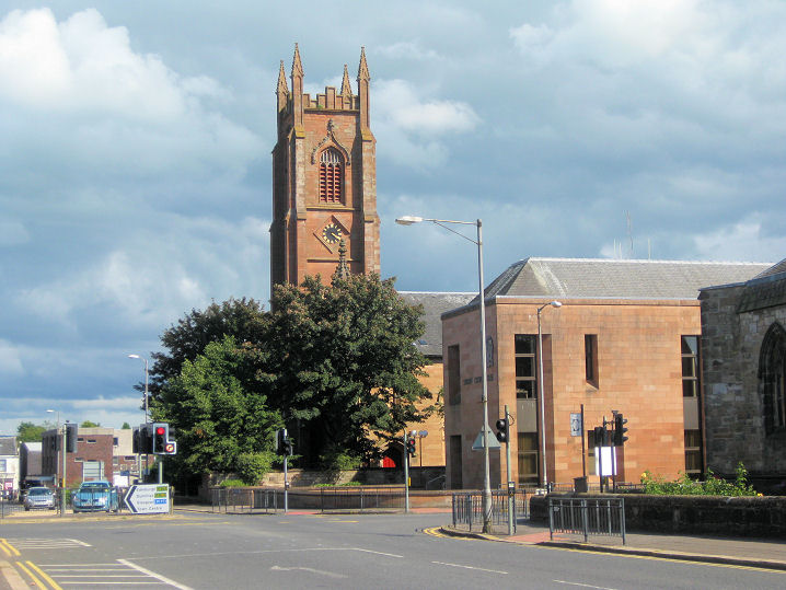
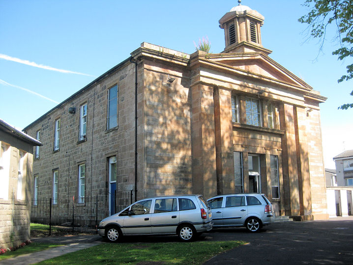
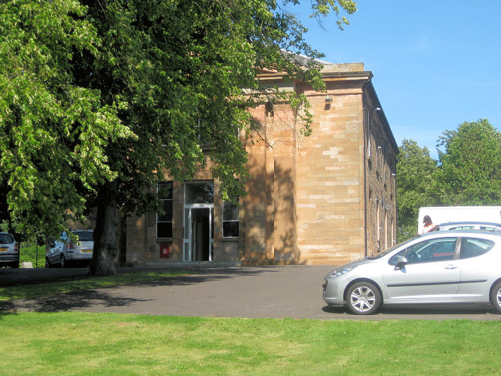
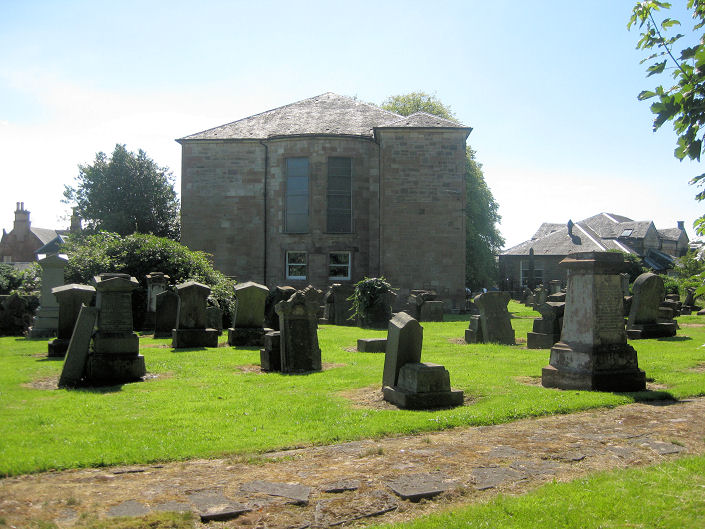
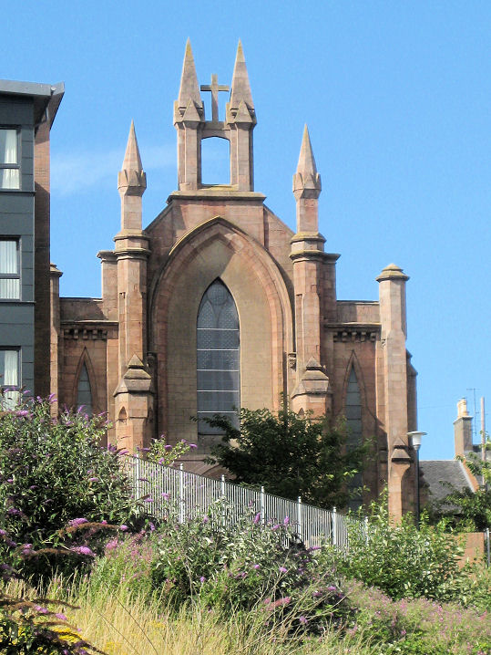
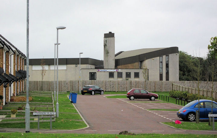
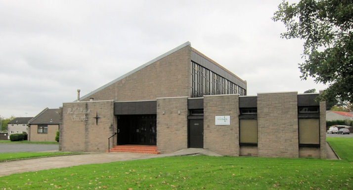
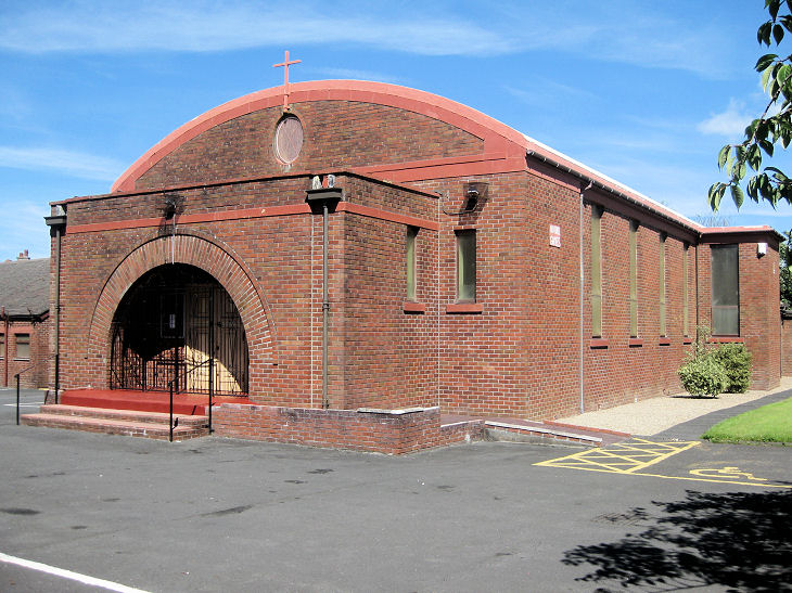
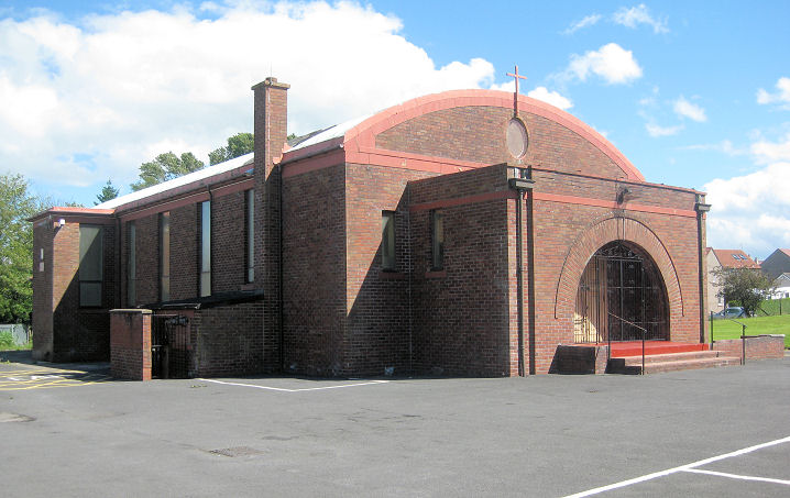
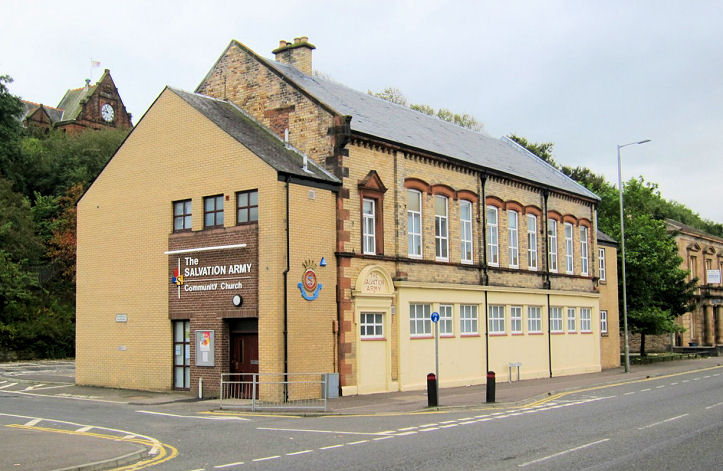
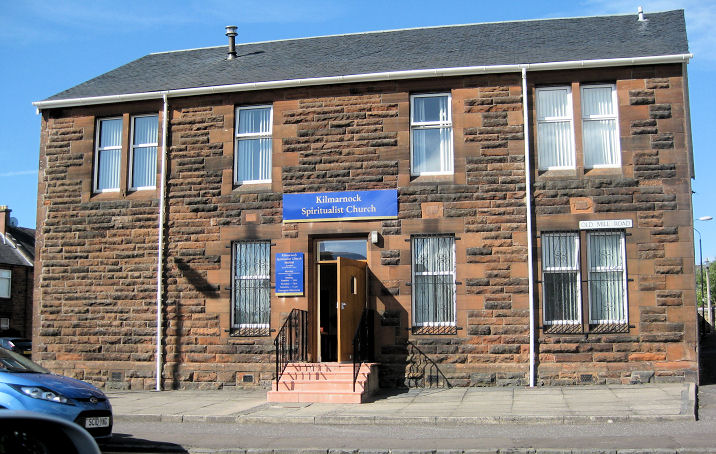
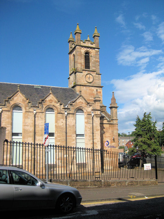
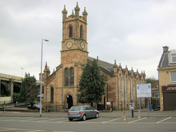
Link1. Link2. Kay Park Parish Church (CoS, 1907) was formed from the congregations of Henderson and Old High Parish Churches in 2012. NS 431 380. © Martin Richter (2013). Link1. Link2. Grade C(S) listed. Kilmarnock Gospel Trust on Melville Street at NS 436 377. © Martin Richter (2013). Kilmarnock South Parish Church (CoS) on Whatriggs Road. This was previously St. Ninian, and was re-named following the closure of Shortless (below) and the merger of the congregations in 2012. Another view. NS 435 358. Both © Martin Richter (2013). Link. Kingdom Hall of Jehovah's Witnesses on Craigie Place, at NS 426 359. © Martin Richter (2013). News item. The Laigh Kirk (CoS), though of medieval foundation, only dates from 1802. It was re-built following on from the Laigh Kirk Tragedy of 1801, when some 30 people died - see here. Parts of the tower are from the older building. There's a little history on the information plaque. See also Grange Free Church (above). Another view. NS 428 379. All © Martin Richter (2013). Another view, © John Balaam (2016). Link. Grade A listed. Mission Hall on a cul-de-sac off Knowehead road at NS 425 356. Additional information would be welcome. © Martin Richter (2013). The former Old High Kirk was built as a Chapel of Ease to Laigh Kirk. Although built in the 1730's, it wasn't made a parish church until 1811. The church was sold to a funerals service in 2013. Another view. NS 430 382. Both © Martin Richter (2013). Link1. Link2. News item. Grade A listed. Standing near to the Baptist Church on Fowlds Street is the former Original United Secession Church (1857), now in commercial use. Another view. There are a couple of minor mysteries here. Howard Richter advises that this church shows on the 1859 O.S. map as Original United Secession Church, but by the editions of 1910 and 1937-8 as U.O.S. - what does this stand for? The Wikipedia entry on the United Secession Church suggests that the church ceased to exist per se following the union with the Presbytery of Relief to form the United Presbyterian Church in 1847. But this church was built after that date - so was this another anti-union splinter? NS 429 376. Both © Martin Richter (2013). Our Lady of Mount Carmel (R.C.) on Kirkton Road at NS 428 401. © Martin Richter (2013). Link. Riccarton Parish Church (CoS, 1825) on New Street. Another view. It was preceded by several earlier churches which stood on what is now the churchyard. All © Martin Richter (2013). Link. St. Andrew's and St. Marnock's (CoS) on St. Marnock's Street. This was built as St. Marnock in 1836, and merged with the congregation of Howard St. Andrew's in 2008 (see Howard Centre, above). NS 427 377. © Martin Richter (2013). Link1. Link2 and Link3 refer to the carillon, though they disagree about dates. Aerial photos. Grade B listed. The site of St. Andrew's Free Church on Fowlds Street, also showing the Baptist and Original United Secession churches in the background. The nearer (western) end of the Iceland shop stands on the site of the church, which is shown on the O.S. map of 1859. Although the stonework looks old, the footprint of the shop and the church do not coincide, so this cannot be a fragment of the church. Built in 1844 (according to this website, with much other useful history), and active to at least 1936 (see here), it was demolished between 1978 and 1992, again on map evidence. Another view. NS 428 376. All © Martin Richter (2013). Link. The former St. Andrew's Glencairn (CoS, closed 2002) on St. Andrews Street has been converted to residential use. Two additional views - 1, 2. NS 430 373. All © Martin Richter (2013). Grade B listed. St. John (CoS), off Wardneuk Drive, Onthank. NS 433 399. © Martin Richter (2013). Link. St. Joseph (R.C., 1847) on Hill Street. Another view. According to an information plaque, this was only the second catholic church to be established in Ayrshire since the Reformation. The 1859 O.S. map shows this as Saint Joseph's Chapel (Roman Catholic) 750 seats. NS 428 384. Both © Martin Richter (2013). Link. St. Kentigern (CoS, 1969) on Dunbar Drive and Cameron Drive at NS 442 388. © Martin Richter (2013). Link. St. Matthew (R.C.) on Forbes Place at NS 441 389. © Martin Richter (2013). St. Michael (R.C.) on Treeswoodhead Road and Methven Avenue. Another view. NS 432 356. Both © Martin Richter (2013). Link. Salvation Army on Sturrock Street at NS 429 379. © Martin Richter (2013). Link. The former Shortlees Parish Church (CoS, circa 1949) on Central Avenue. NS 429 353. © Martin Richter (2013). Sale notice. Spiritualist Church on Old Mill Road. NS 432 375. © Martin Richter (2013). Link. West High Church (1844) on Garden Street. Another view. See also Grange Free Church (above). NS 428 382. Both © Martin Richter (2013). Link. Grade B listed. Winton Place E. U. Congregational Church (1860). E.U. is Evangelical Union, and some history can be found here. NS 426 377. © Martin Richter (2013). Link1. Link2. Link3. Grade B listed.
|
||
13 October 2023
© Steve Bulman