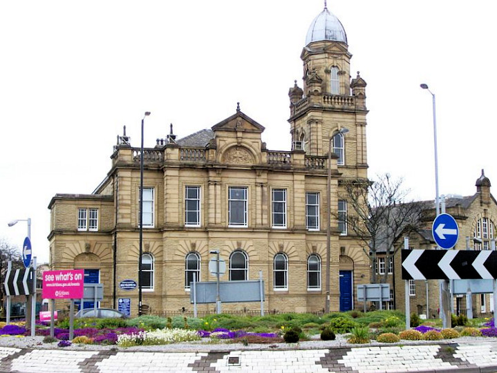
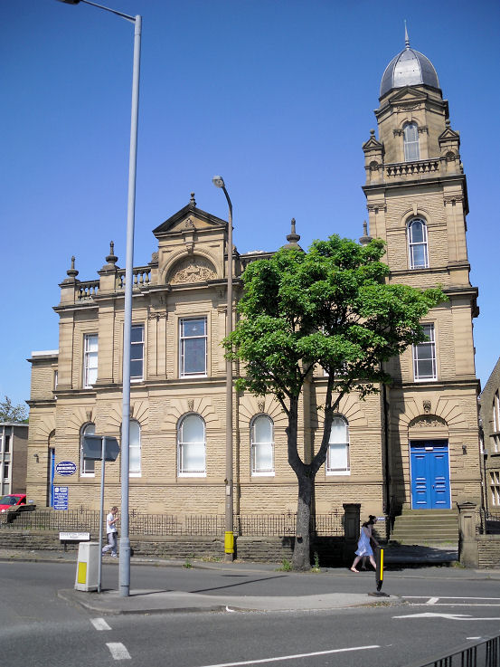
| Huddersfield, West Yorkshire
Huddersfield on Wikipedia.
Churches at Almondbury,
Birchencliffe, Bolster Moor, Bradley, Crosland Moor, Dalton,
Fixby, Golcar,
Lindley, Lockwood, Longley and Lowerhouses, Longwood,
Marsh,
Milnsbridge,
Moldgreen (inc. Aspley), New North Road/Trinity Street,
Newsome (incl. Berry Brow and Taylor Hill), Oakes,
Paddock, Primrose Hill,
Rashcliffe, Rawthorpe, Scapegoat Hill, Waterloo.
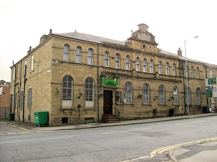
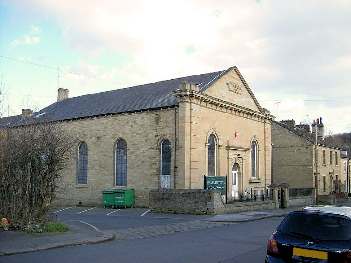
Ammadiyya Centre on Lower Fitzwilliam Street. © David Regan (2012).
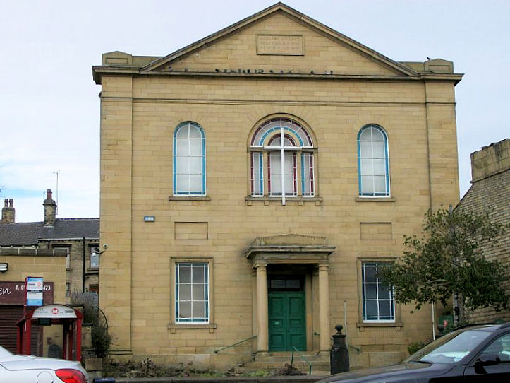
Baptist
Church on Moor Hill Road, Salendine Nook.
Another
view. Both © David Regan (2012).
Link.
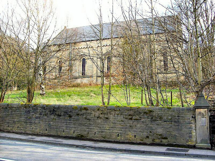
Cemetery Chapel at Edgerton.
© Steven Hill.
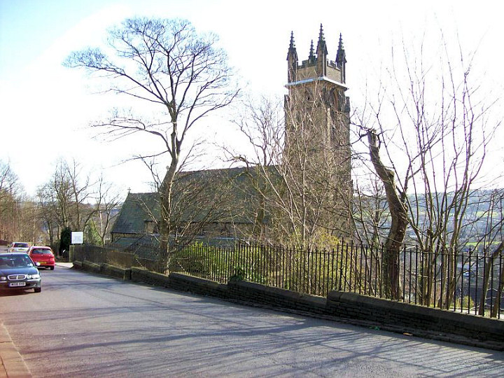
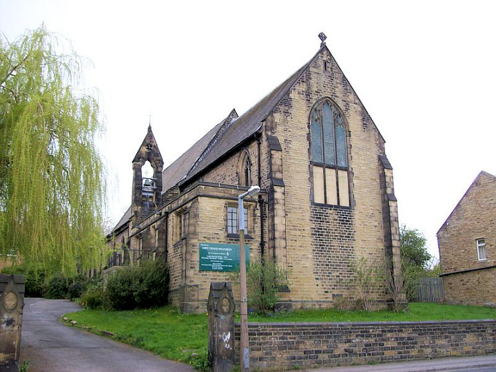
Christ Church on Woodhouse Hill. SE 153 190. © Bill Henderson
(2014). Link.
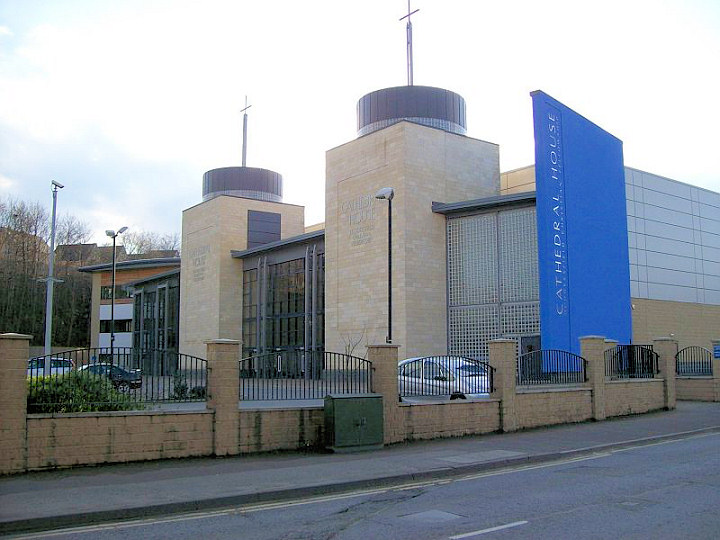
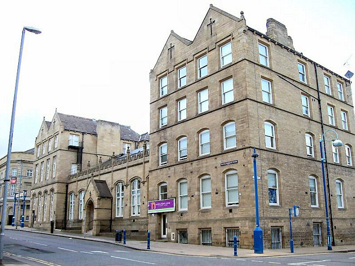
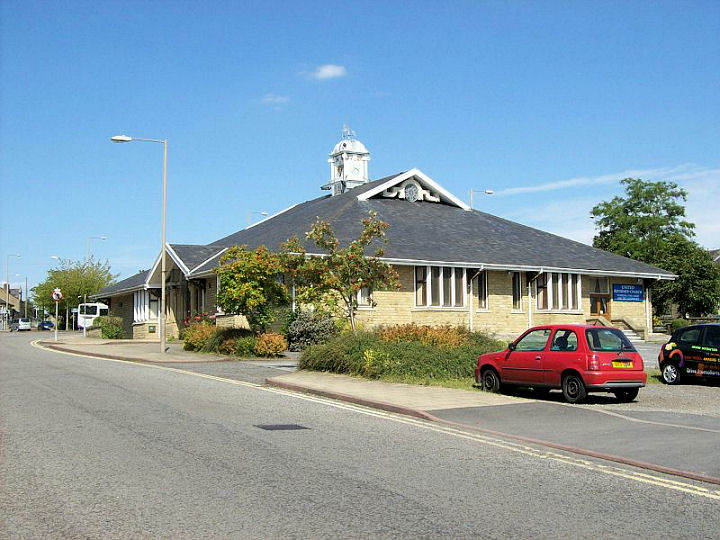
Christian Fellowship (2009) on St. Thomas Road, also known as
Cathedral House. The old building still stands on Northumberland Street. Both © David Regan
(2012). Link1. Link2.
Church of Good Fellowship on Sheepridge Road. SE 155 192. © Bill
Henderson (2014).
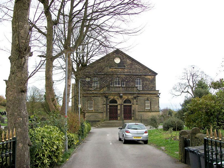
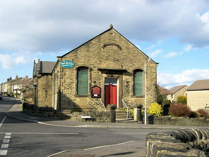
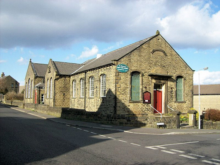
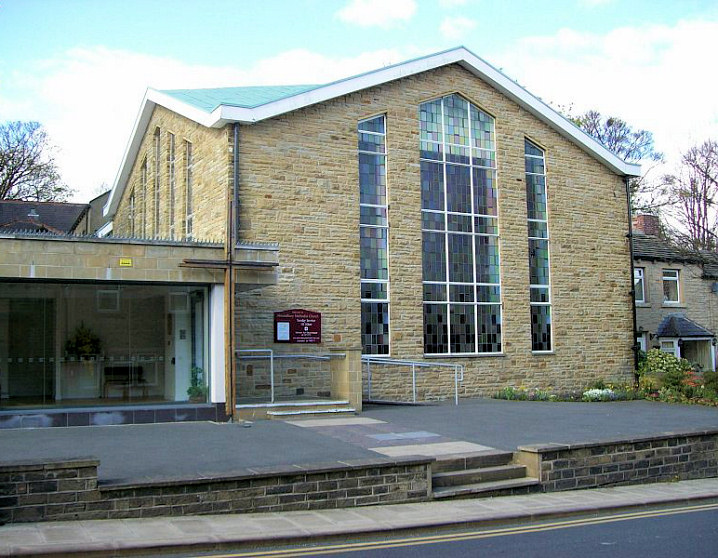
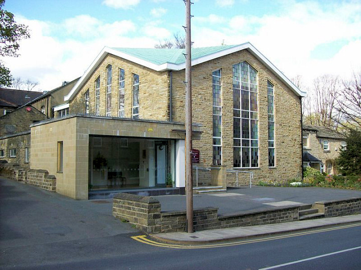
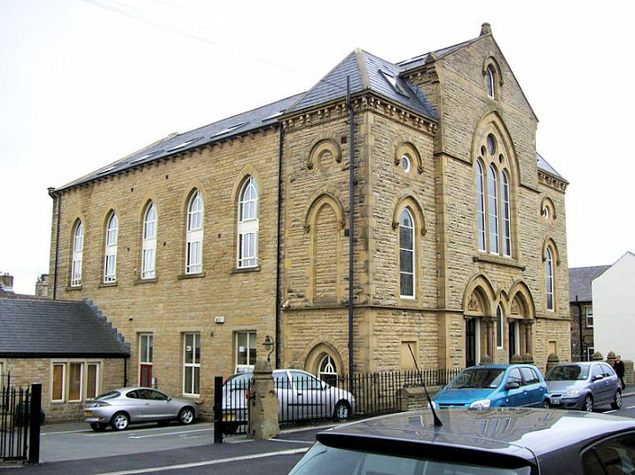
Crosland Hill Methodist Church.
Another view. Both © David Regan (2012).
Link.
Elim Pentecostal Church on Merton Street. © David Regan
(2012). Link.
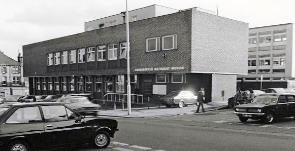
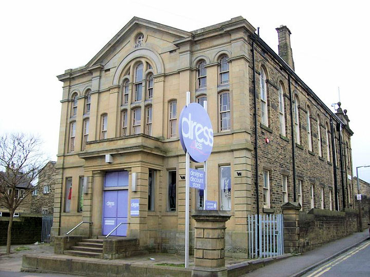
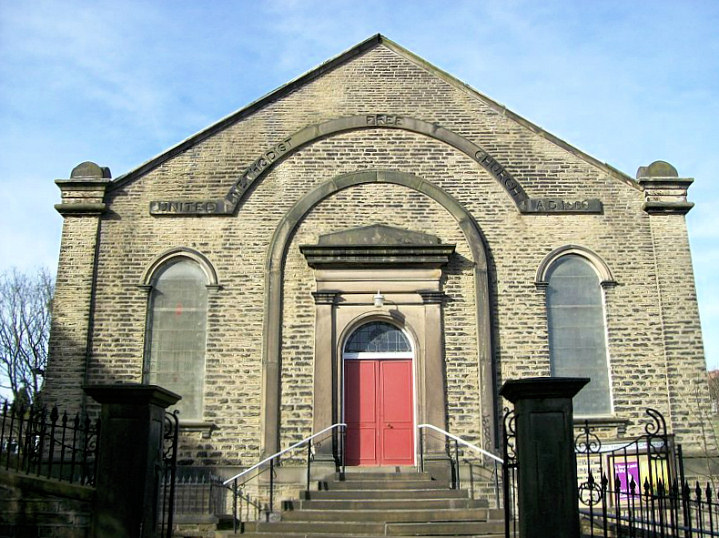
The former
Huddersfield Methodist
Mission (1970-2000), on King Street, was subject to a Compulsory Purchase
Order in 1998. The new
church on Lord Street opened in June 2000.
Another view. All
© Cyril D. Blount.
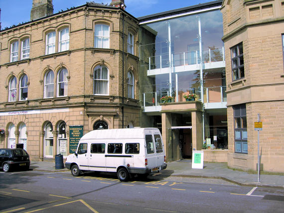
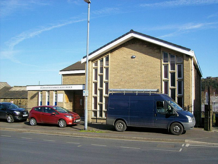
Link. Huddersfield Spiritualist Church on Old Leeds Road.
© David Regan (2012). Link.
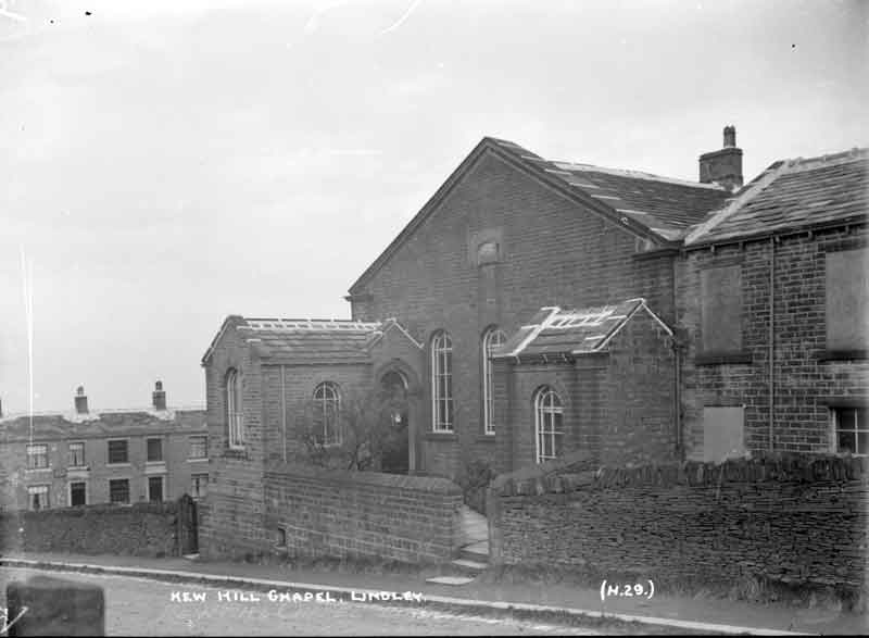
Kew Hill Methodist
Chapel was built as Primitive Methodist in 1868 and later sold to
the Wesleyans. It stood on Weather Hill Road at SE 1089 1929. Its site
now lies beneath the M62 (not far in front of the camera in this
2023 Streetview -
not too helpful, but an old photo of the chapel can be seen
here.
Link1.
Link2.
The former
Milton Congregational Church on Queen Street South is now part of the University.
Another view. Both © David Regan (2012).
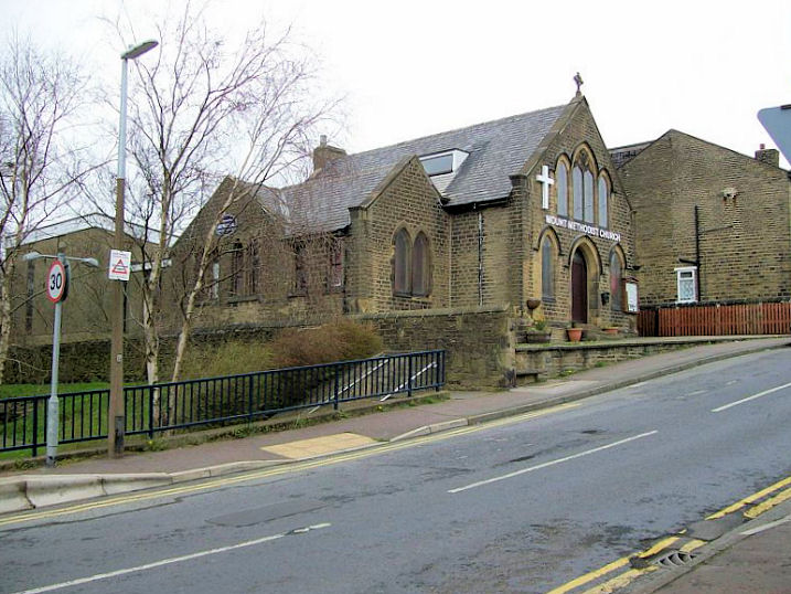
Mount
Methodist Church. © David Regan (2012).
Link.
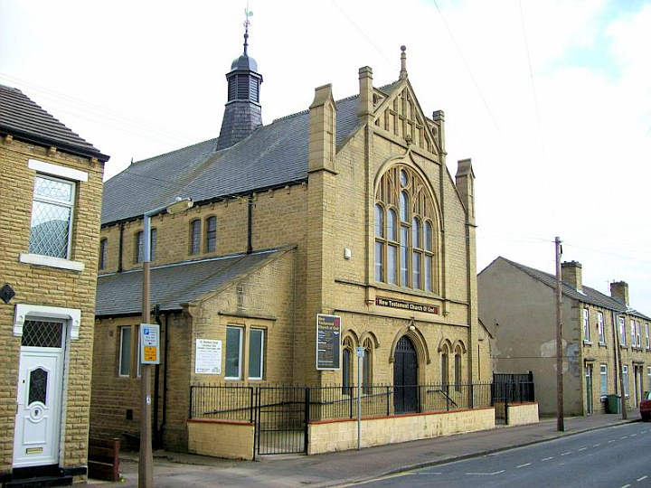
New Testament Church of God, originally Great Northern
Street Congregational Church. © David Regan (2012).
Our Lady of Lourdes (R.C.) on Bracken Hall Road and Sheepridge Road. SE 152 192. © Bill Henderson
(2014). Link.
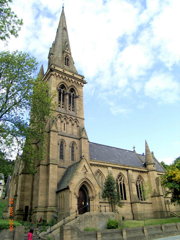
St. John the
Evangelist (1851-3) on St. John's Road, Birkby, a Butterfield
church. SE 1410
1773. © David Regan (2020).
Link1.
Link2.
Grade II* listed.
The former St. Mark on Old Leeds Road, now in
commercial use. © David Regan (2012).
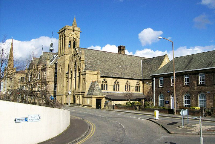
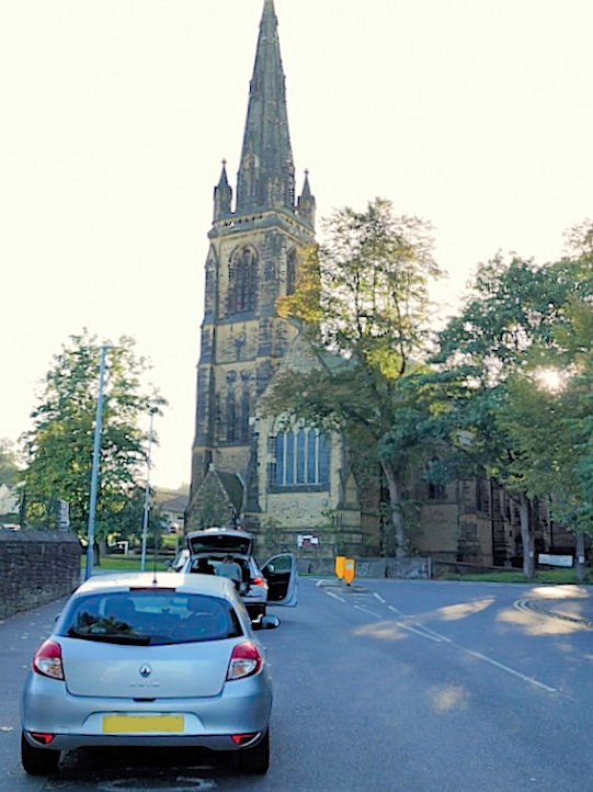
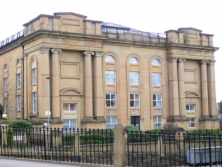
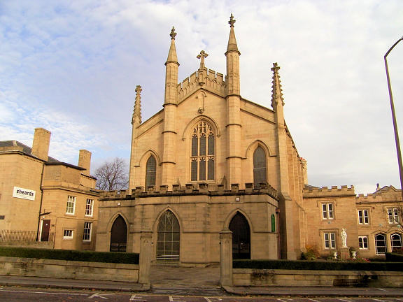
St. Paul on Queensgate,
1829, now serves as the University Chapel and as a Concert Hall.
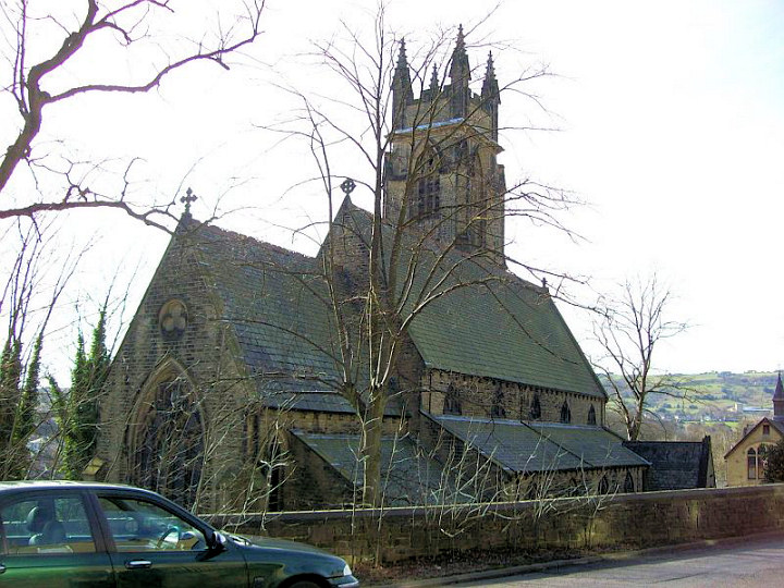
St. Peter, dating from
1836. © Stan Walker.
St. Thomas dates from
1859 and designed by George Gilbert Scott for the mill-owning Starkey family. ©
Stan Walker.
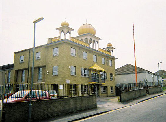
Former
Salvation Army Hall, on Prospect Street. ©
Rob Brettle. Sikh Temple, on Prospect Street. © Rob
Brettle.
The former
Wesleyan Chapel on
Queen St. It was reputedly the largest of its kind when opened in 1819. Now used
as a theatre. © Stan Walker. Westwood Christian Centre,
at Westwood was originally an Anglican Mission Church. © David Regan (2012). Link.
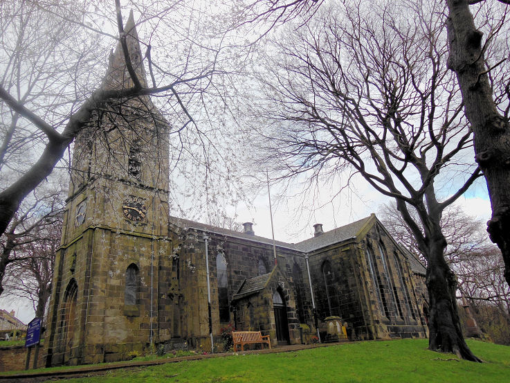
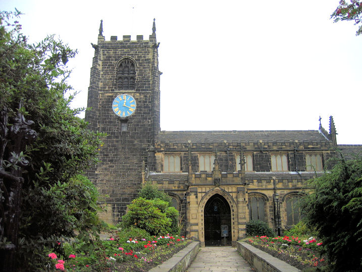
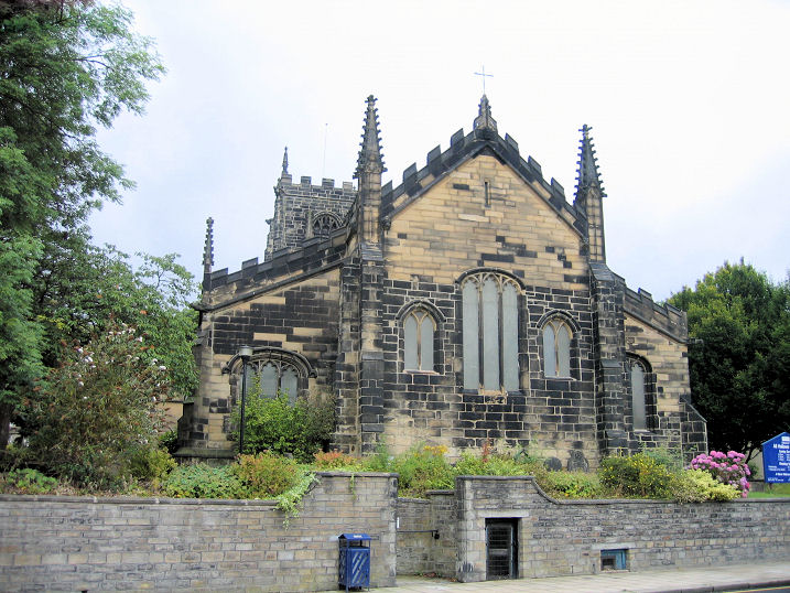
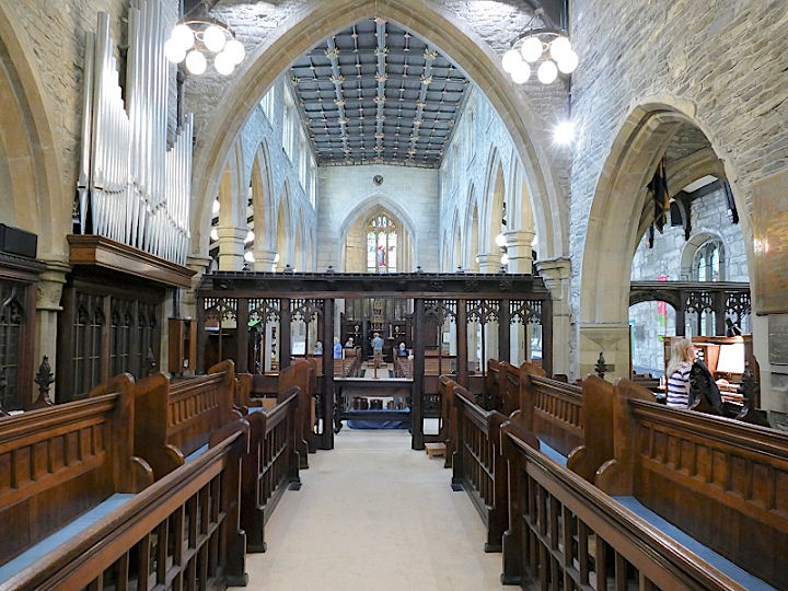
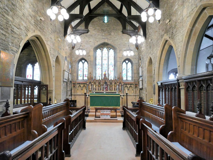
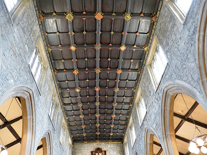
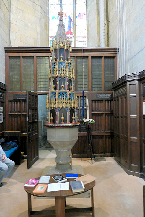
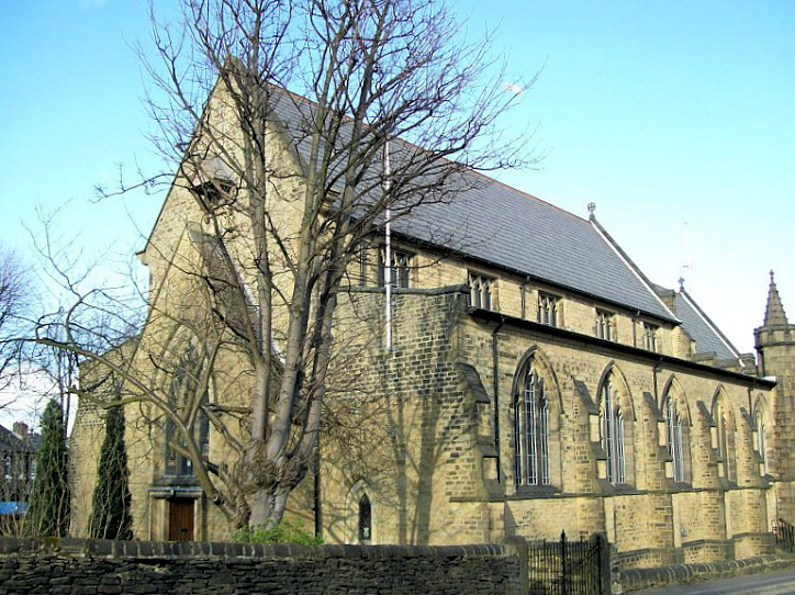
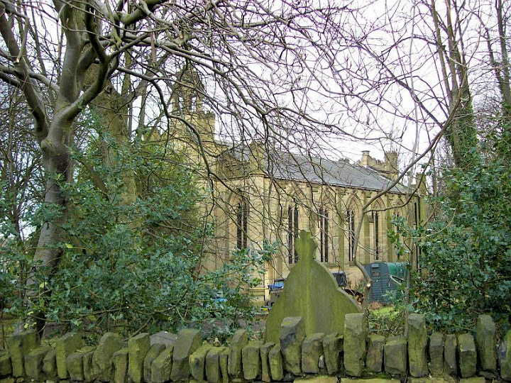
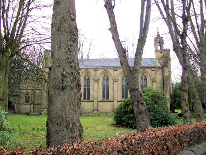
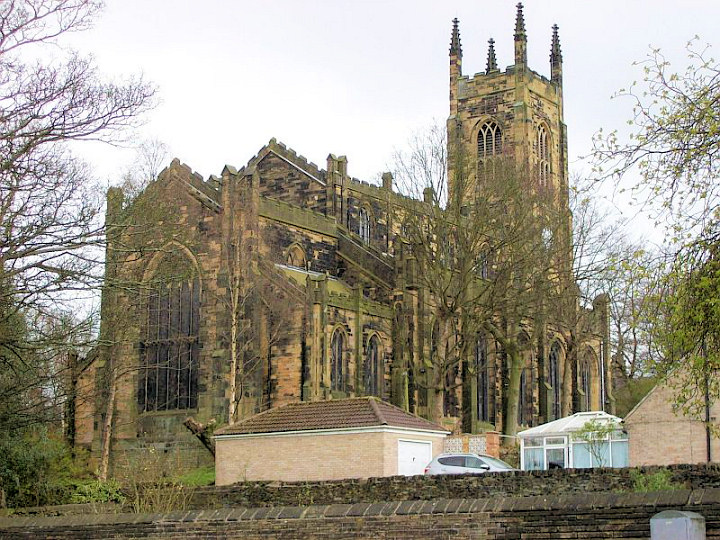
Almondbury.
All Hallows on
Westgate. Another view.
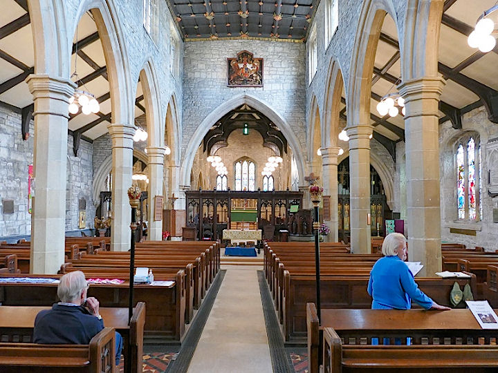
SE 1684 1506. Both © Ina Penneyston. Two interior views -
1,
2,
the
chancel,
nave
ceiling, and one of the more spectacular
font
covers, all
© David Regan (2021).
Link.
Grade I listed.
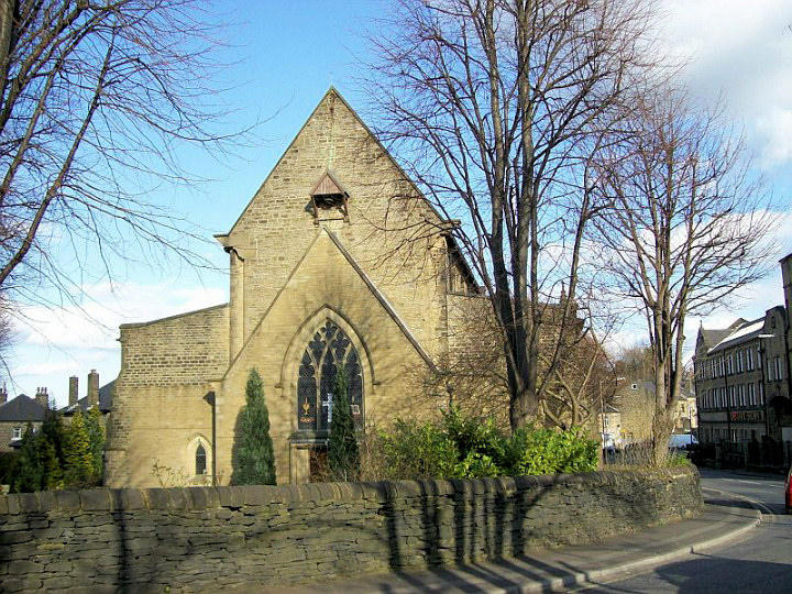
Almondbury Methodist Church on Westgate.
Another view.
SE 1673 1498. Both © David Regan (2012).
Link. Its predecessor was
St. John's Chapel (Wesleyan) on the same site - image on an external website.
A little way west of the Methodist Church, just short of the junction of
Westgate with Longcroft, was a chapel, identified
here as Zion Wesleyan Reform Chapel,
and dated to circa 1850-1960. It stood at about the middle of the
terrace of housing seen by
Streetview in 2020.
SE 1660 1490.
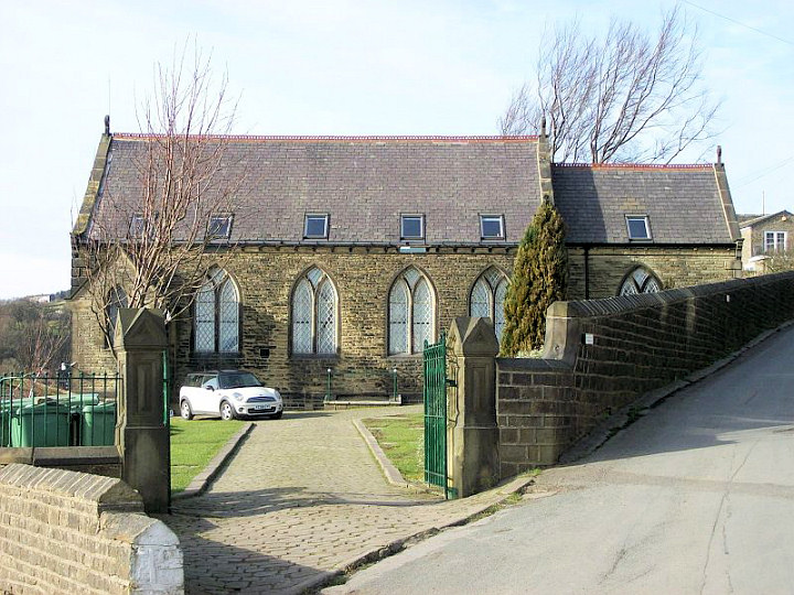
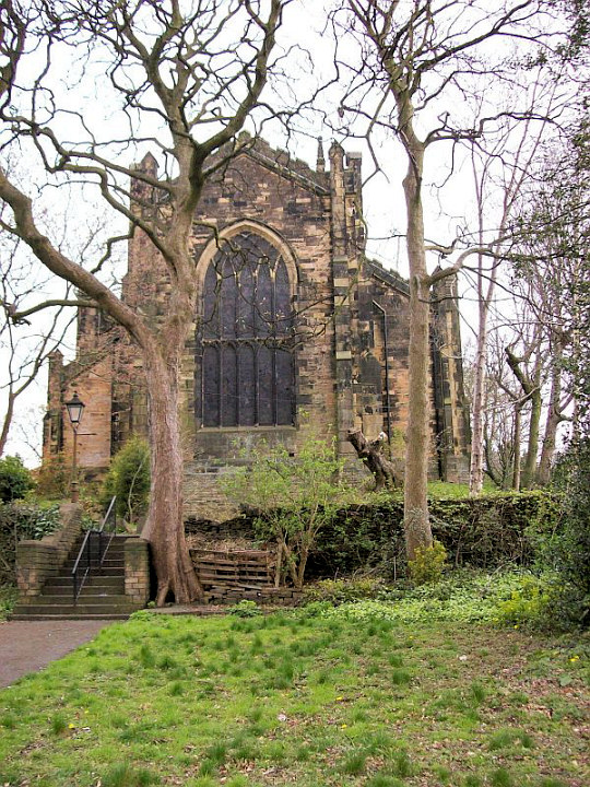
Birchencliffe
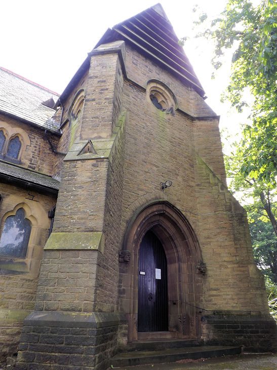
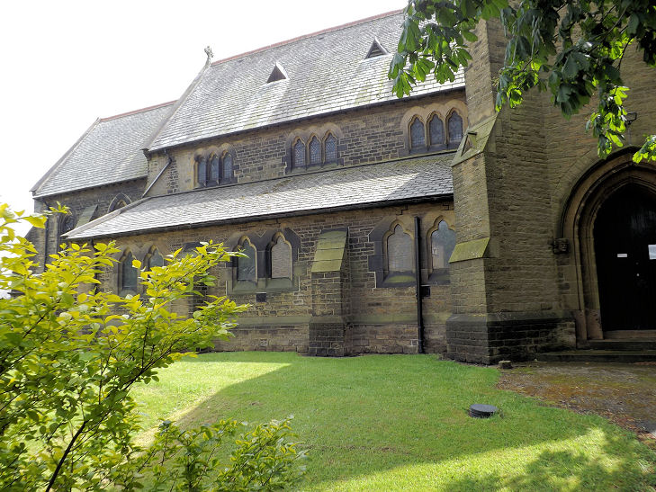
St. Philip
the Apostle (1876) on Halifax Road. Three additional views -
1,
2,
3. SE
1192 1881. All © Graham Sheard (2010). This
source has numerous photos, including of the interior. As the
unusual design of the porch suggests, and the
grade II listing confirms, a planned tower was never completed.
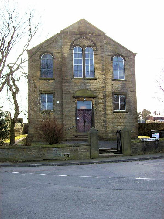
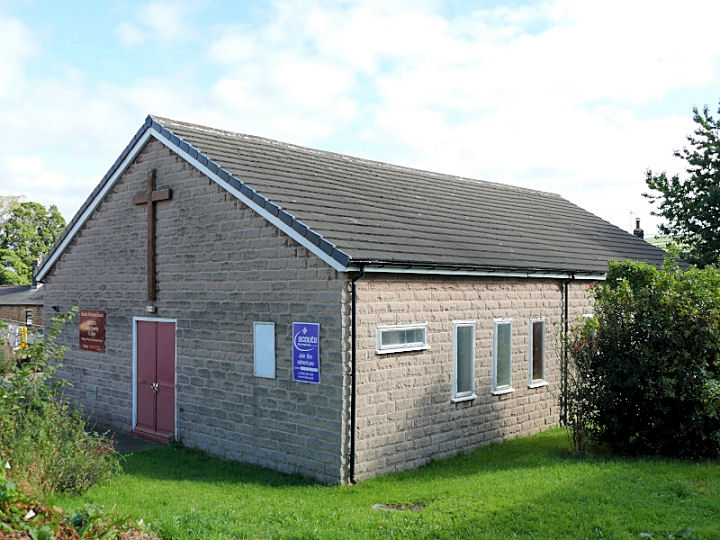
Bolster Moor.
Bolster Moor
Baptist Chapel was previously known as Sunny Bank Baptist Chapel. © David Regan (2012).
My appreciation to Nicholas Wilde for clarifying the names of this (and
the next) chapel.
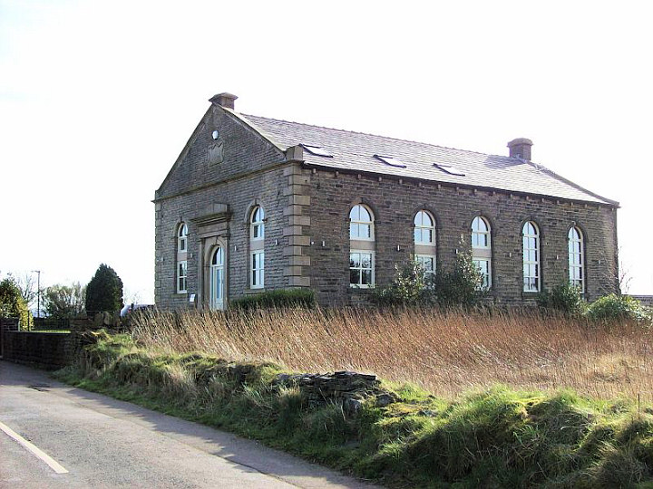
The former
Clough Head Baptist Chapel on Meeting House Lane is now in residential use.
© David Regan (2012).
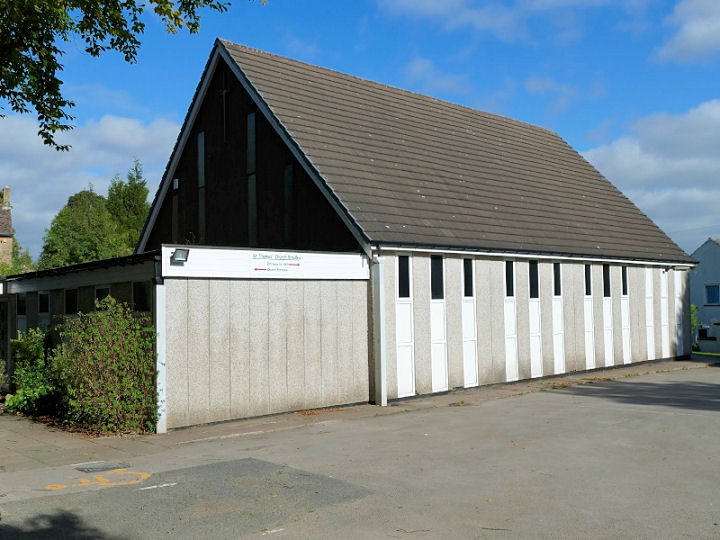
Bradley
Methodist
Church on Bradley Road.
SE 1734 2046. © David
Regan (2020).
Link.
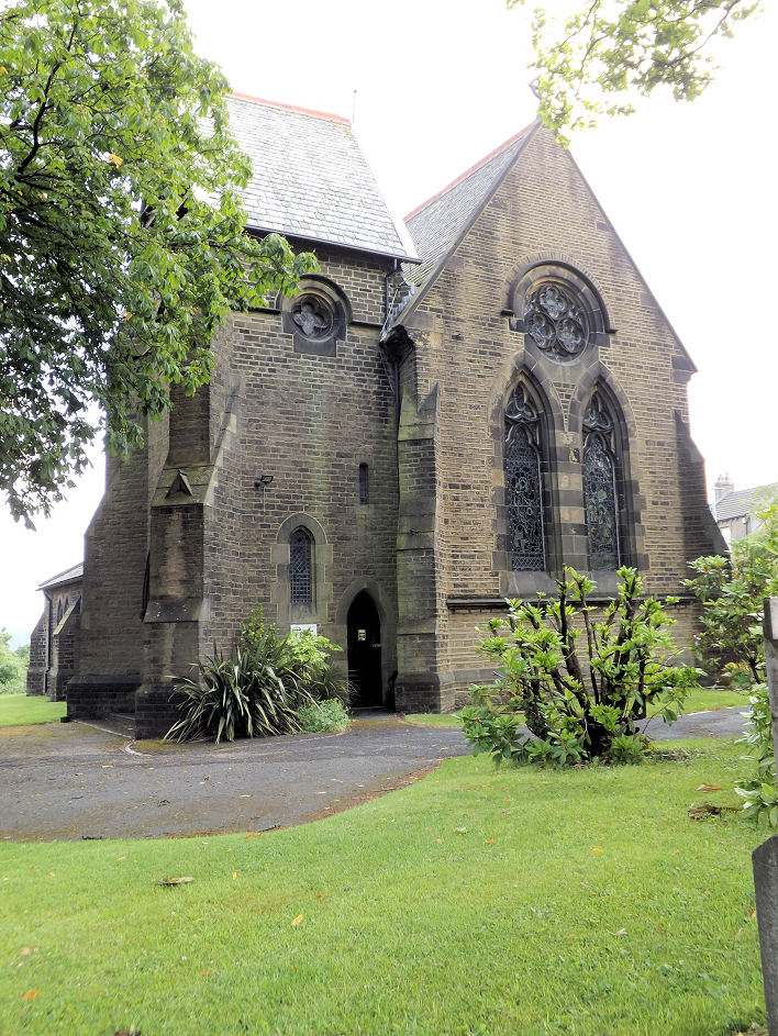
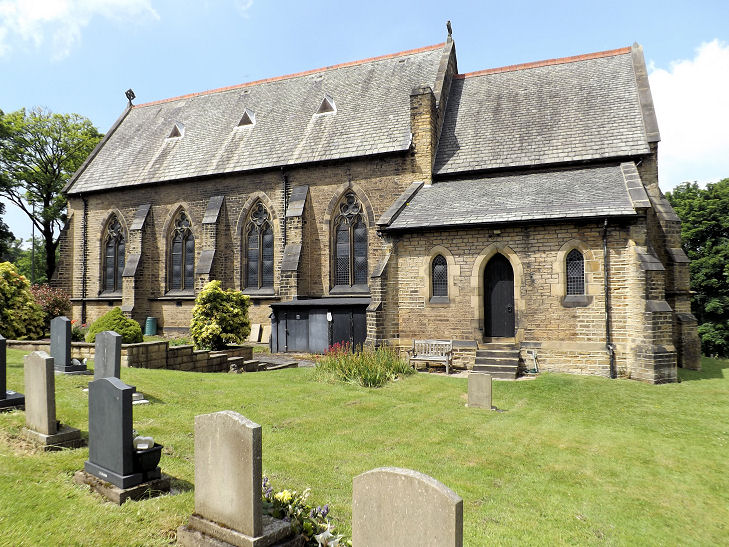
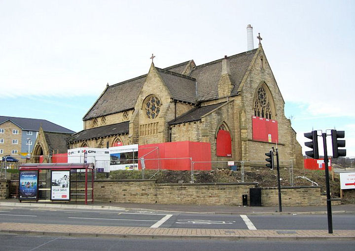
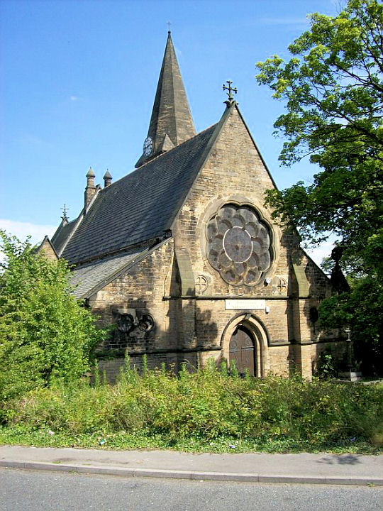
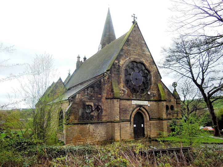
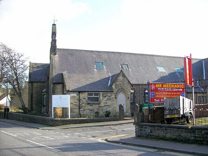
St. Andrew
(1870) at Bradley Mills. David advises that this church was originally
CoE, then R.C., and has since been sold. SE 1494 1770. © David Regan (2012). This
link has lots of photos of the church in its present dilapidated
state.
The former
St. Thomas on Station Road
is now in use as a gym. SE 1724 2016. © David Regan (2011).
Another view, © Bill Henderson (2014).
Link.
St. Thomas, on
St. Thomas Gardens, successor to the above church.
Circa SE 169 205. ©
David Regan (2020).
Link.
Crosland Moor.
Church of the Seventh-day Adventist.
Janet Gimber has advised that before the church took over, this was an
infants school. © David Regan (2012).
Link.
St. Barnabas.
Another view. Both © David Regan (2012).
Link.
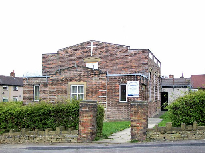
Dalton.
The Baptist Church actually stands in Rawthorpe. © David Regan (2012).
Link.
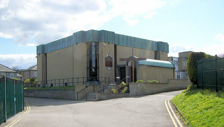
English Martyr's (R.C.) on Teddington Avenue. © David Regan (2012).
Link.
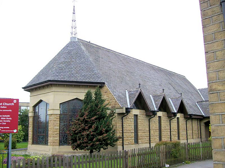
St. Paul (Methodist) stands only a short distance from the Moldgreen Wesleyan Chapel (see
below). © David Regan (2012). Link.
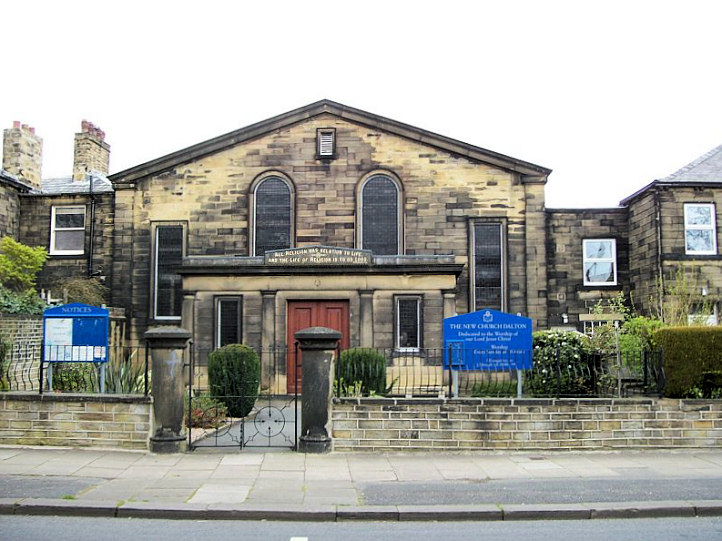
The New Church on Long Lane.
Howard Richter advises that this was Swedenborgian. SE 163 170. © David Regan (2012).
Grade II listed.
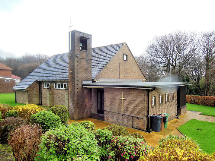
Fixby
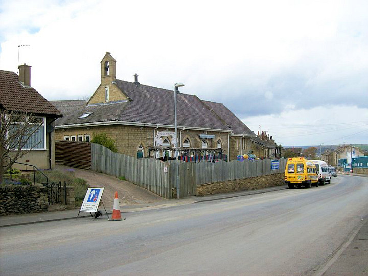
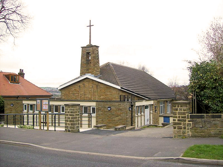
St Francis Church and Community Hall (1953-4). SE 142 202. © Bill Henderson (2014).
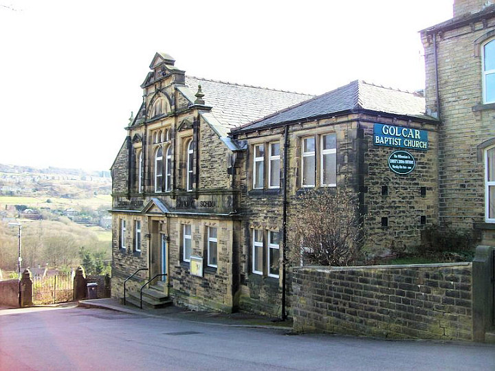
Golcar.
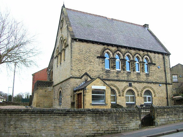
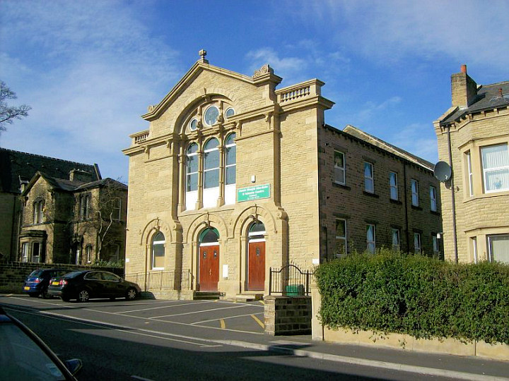
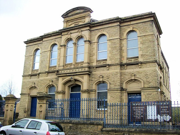
Baptist Church (1896). © David Regan (2012). Link.
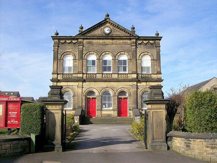
Providence Methodist Church. © David Regan (2012).
Link.
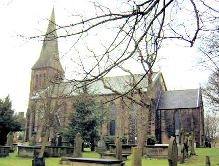
St. John. © Steven Hill.
Lindley.
The former Free Methodist Chapel on Thorncliff Street has been converted into
flats. © David Regan (2012).
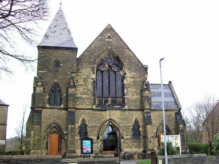
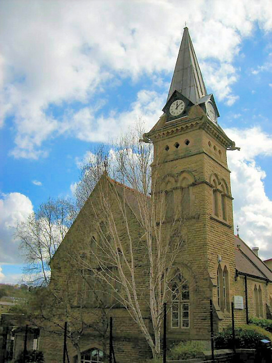
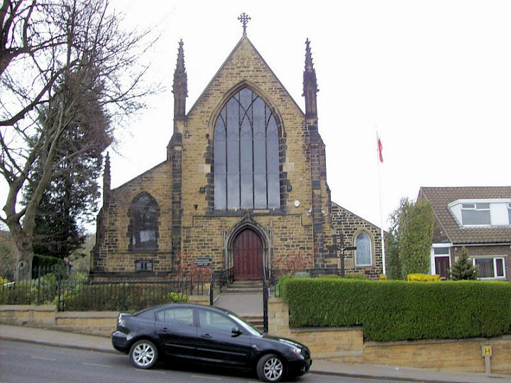
Lindley Methodist Church.
© David Regan (2012).
Interior view. © Cyril D. Blount.
Link.
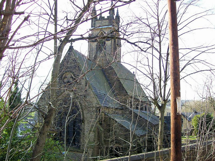
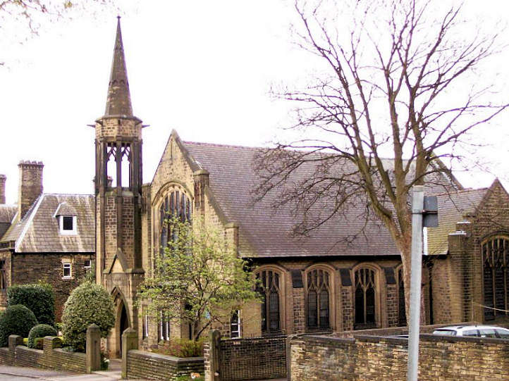
St Stephen at Lindley.
SE 118 181. © Paul Brown.
Link.
Although previously listed as the former
Zion Chapel on Lidget Street, Graham Sheard has advised that the
photo in fact shows the Zion Sunday School. The chapel, which looked
almost identical to the school, stood on the other side of the road. The
site can be seen here
on a 2015 Streetview - where the buildings beyond the car park now
stand. © David Regan
(2012). Lockwood.
Baptist
Church. © David Regan (2012).
Link.
The former Emmanuel Church, now in residential use. Another view. Both © David Regan (2012).
The Mosque on Bentley Street was previously Methodist. © David Regan (2012).
Although previously listed as the former Mount Pleasant Methodist Church on Mount Street,
Paul Kent has advised that it is in fact of Mount Pleasant School. The
church stood immediately to the left of the school, at SE 1375 1541. Its
site can be seen in a
Streetview from 2012. The church is presumably the building seen at
the extreme left
here. © David Regan (2012).
Longley and Lowerhouses.
Longley and Lowerhouses Community Church. © David Regan (2012).
Link.
The former St. Mary's Mission Church at Lowerhouses, now a school. © David Regan (2012).
Longwood.
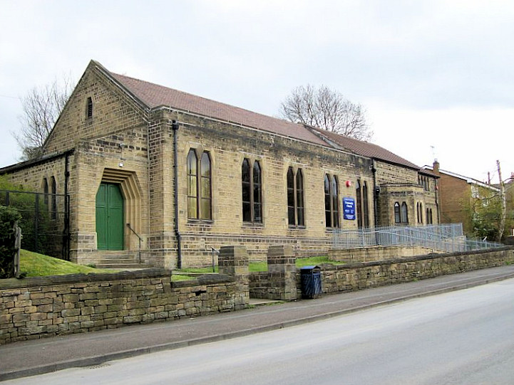
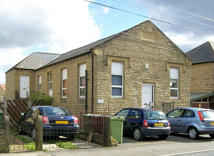
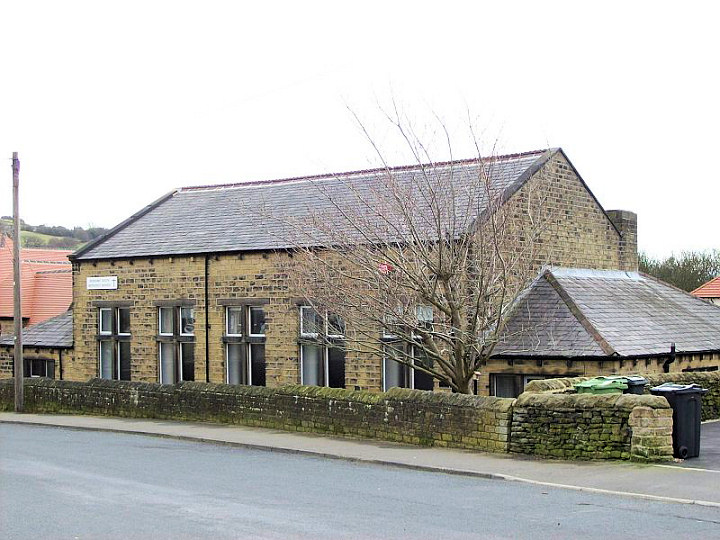
Parkwood Methodist Church (1869) on Parkwood Road. © David Regan (2012).
Link.
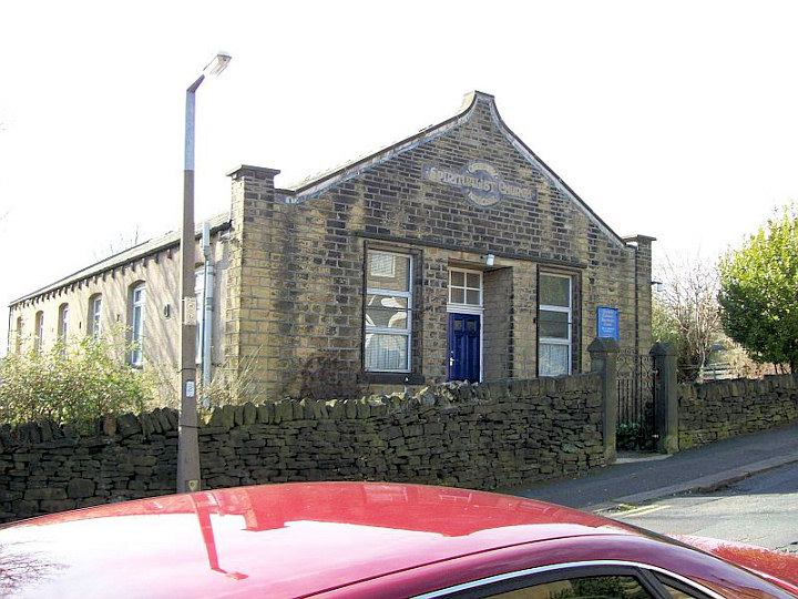
Quarmby Spiritualist Church. © David Regan (2011).
Link.
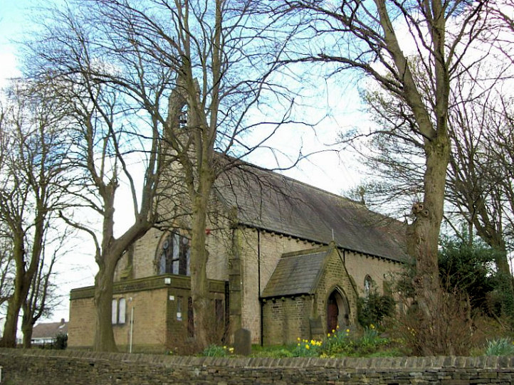
St. Mark on Longwood Gate. Two further views -
1, 2. All © David Regan
(2012). Link.
Marsh.
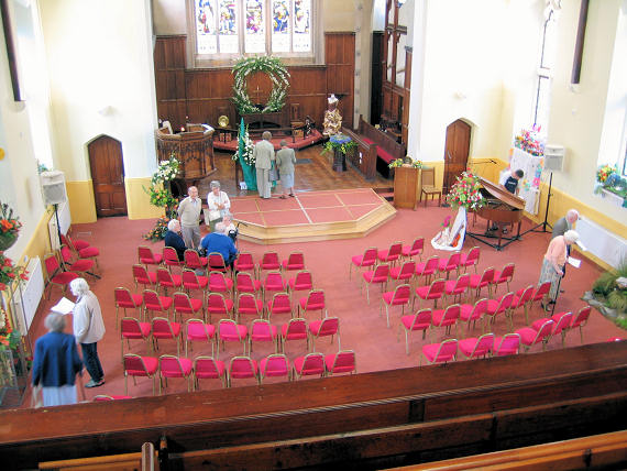
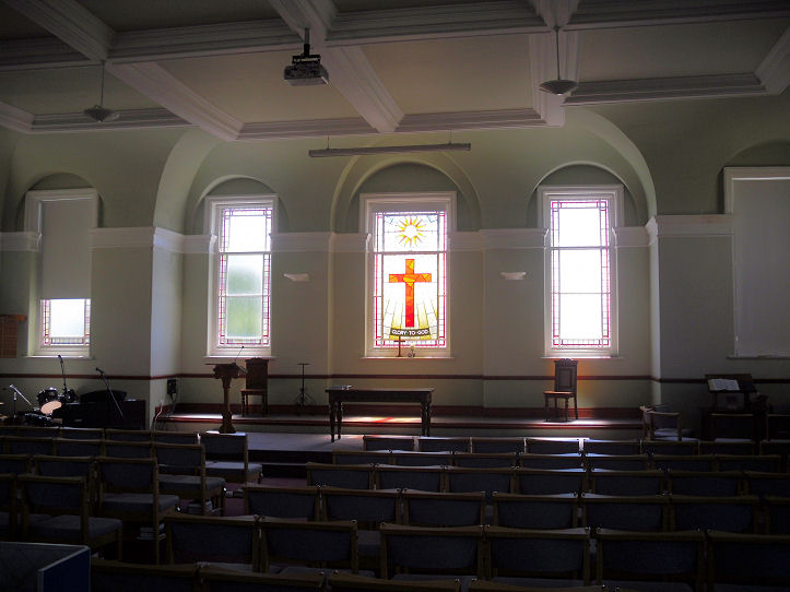
Gledholt Methodist Church. © David Regan (2012).
Another view, and an interior
view showing the newly created worship area. Both © Gerard Charmley (2013). Link.
David has pointed out this old photo of the
Methodist New
Connexion Chapel in Marsh (link to external site), but doesn't know its location, or whether it still exists - can you help?
Howard Richter has advised that this was on the corner of New Hey Road
and Cleveland Road at SE 1264 1725. The 1918 O.S. map shows it as U.M
Ch. (i.e. United Methodist), and the 1961 edition as Marsh
Methodist Church. The chapel was closed in 1965, and demolished at
an unknown date. A "Tesco Express" and its car park now occupy the site.
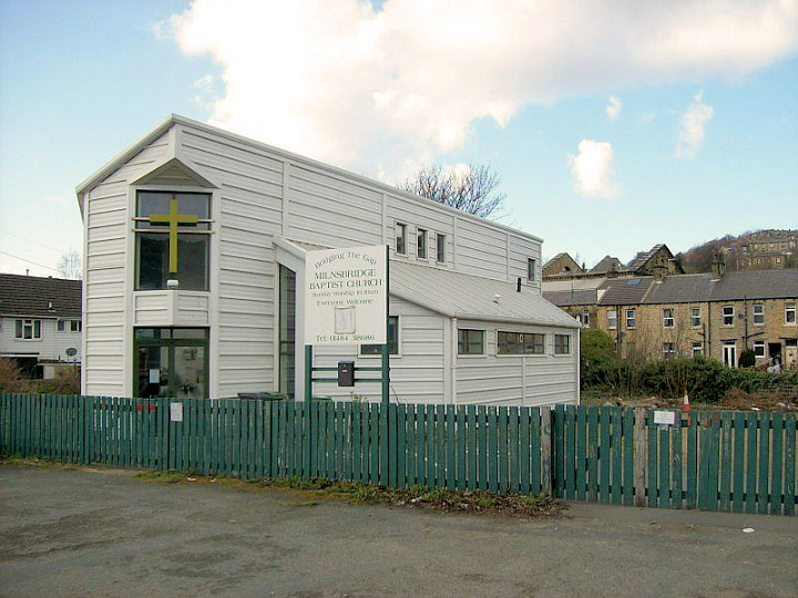
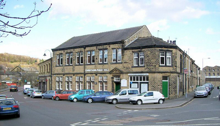
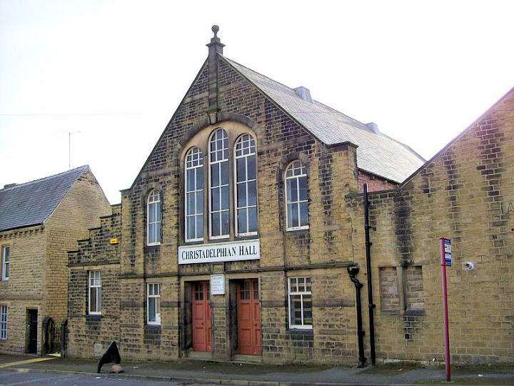
Milnsbridge
Baptist Church. © David Regan (2012).
Christadelphian Hall. © David Regan (2012).
Link.
The former St. Luke, now in commercial use. © David Regan (2012).
Moldgreen (inc. Aspley).
Christ Church. © David Regan (2011).
Link.
Moldgreen
U.R.C. © David Regan (2011).
Link. The previous Congregational Church is shown
here (external website), and on an old postcard
here.
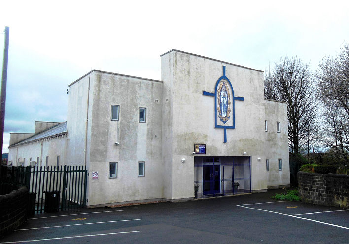
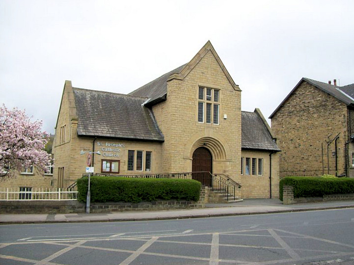
St. Joseph (R.C., since 1953) at Aspley was originally CoE (1915). © David Regan (2012).
Link.
The demolished
United Free Methodist Church on an external website. It stood on
Chapel Lane at SE 1566 1637. It pre-dated an 1890 map, where it is shown
as Methodist Chapel (Free United). It went out of use some time
prior to the compilation date of the O.S. map of 1972-8, when it shows
as Mold Green Civic Youth Club. It was demolished in 1989. A
Google Streetview of the site is available
here.
The former
Wesleyan Chapel (external link).
New North Road/Trinity Street.
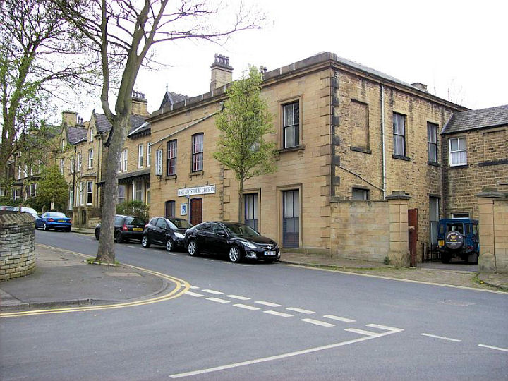
Apostolic Church on Mountjoy Road. © David Regan (2012).
Link.
The former Highfield Congregational Church has been converted into flats. ©
David Regan (2012).
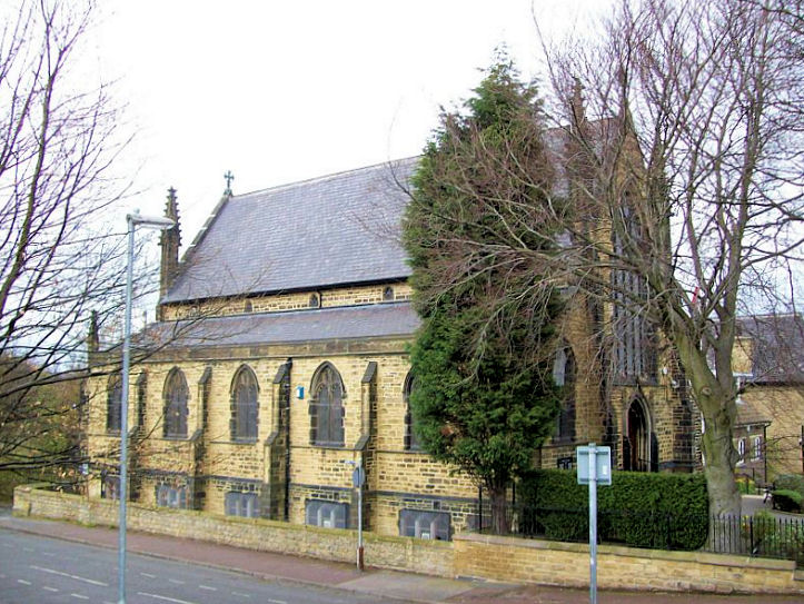
Holy Trinity on Trinity Street. Another view.
Both © David Regan (2012). Link.
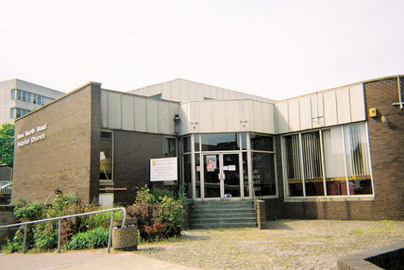
New North Road Baptist Church.
It replaced an earlier building seen
here (external website) - it was demolished in 1971. © Rob Brettle.
Link.
Polish Catholic
Church on Fitzwilliam Street was formerly Unitarian Church.
Another view.
Both © David Regan (2012).
Link (in
Polish).
St. Patrick (R.C.) on New
North Road dates from 1832. © Stan Walker.
Link.
U.R.C. on Waverley Road. © David Regan (2012).
Link.
Newsome (incl. Berry Brow and Taylor Hill).
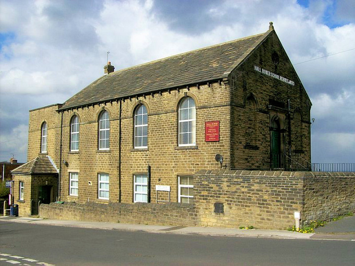
Hall Bower Chapel on High Lane, Hall Bower. Also known as Hall Bower Sunday School.
Services are still held here, on a non-denominational basis, with visiting preachers from different churches in the area. See the interesting history
here. © David Regan (2012).
Former Primitive Methodist Chapel at Taylor Hill. © David Regan (2012).
Former Primitive Methodist Chapel on Towngate
is now flats. © David Regan (2012).
St. John. Another view. Both ©
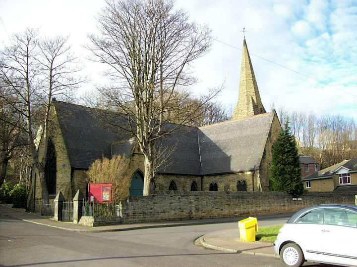
David Regan (2012). Link.
South
Newsome Methodist Church at Berry Brow. © David Regan (2011).
Link. The previous church building is shown
here, on an external website.
Oakes.
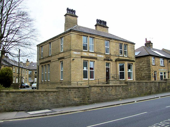
Lindley
Evangelical Church is in Oakes. © David Regan (2012).
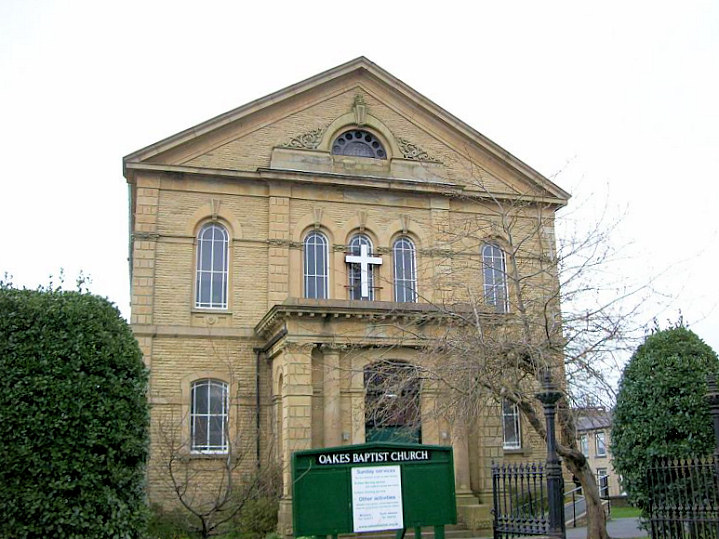
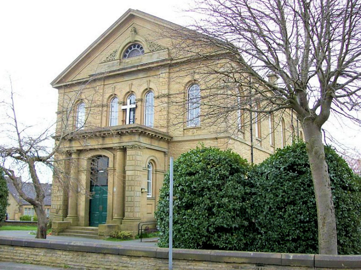
Oakes Baptist Church. Another
view. Both © David Regan (2012). Link.
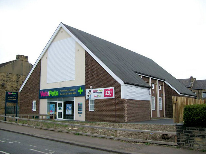
The former St. James (R.C.)., now in commercial use. © David Regan (2012).
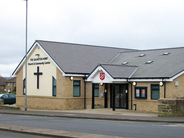
Salvation Army. © David Regan (2012).
Link.
Paddock.
The former All Saints on Church Road. David advises that this was at one time was in residential
use, but now appears derelict. © David Regan (2011).
Friend's Meeting House on Church Road. © David Regan (2011).
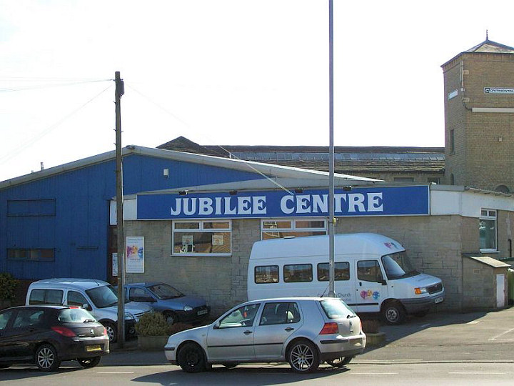
The Jubilee Centre on Market Street hosts Huddersfield Community Church. © David Regan
(2011). Link.
Mosque on Church Road. This was originally Wesleyan. © David Regan (2011).
Primrose Hill.
Church of God of Prophecy on Stile Common Road. David suspects that this is a former
Methodist New Connexion church. Another view. Both © David Regan (2012).
My appreciation to Steve Harrison who has confirmed that David's
suspicion is correct, and has advised of this
link as proof.
A Methodist New Connexion Chapel stood on
Whitehead Lane, at SE 1429 1557. Graham Sheard advises dates of
1863-1913, and that it was later used as a Sunday School. By the 1950's
it (or a replacement on the same site) was in use as a factory. A
2019 Streetview
shows the site where it once stood.
The former Primrose Hill Baptist Church on Cross Lane, for sale in 2012. © David Regan
(2012). Link.
St. Matthew stood on Orchard Street. A
2012 Streetview
shows the housing built on the site following its demolition. Old O.S.
maps show the church still standing in 1965-6, with housing replacing it
on the 1976-8 map. I've been unable to find a photo of the church
on-line. SE 1441 1566.
St. Stephen's Mission Church is shown on
Primrose Hill on O.S. maps from 1890. It seems to have been fairly
short-lived, as, though still apparently present on the 1916 map, it's
labelled as "Hall". It was set back somewhat from the road, and it's at
least possible that the low line of stonework visible in the
2019 Streetview was
associated with the church. SE 1428 1553.
Rashcliffe
The former Christadelphian Hall was previously a Methodist Chapel. © David
Regan (2012).
Link.
St. Stephen
at Rashcliffe. © David Regan (2012). Now closed - see
disposal notice. Rawthorpe.
See also Dalton Baptist Church (above).
St. James. © David Regan (2012).
Link.
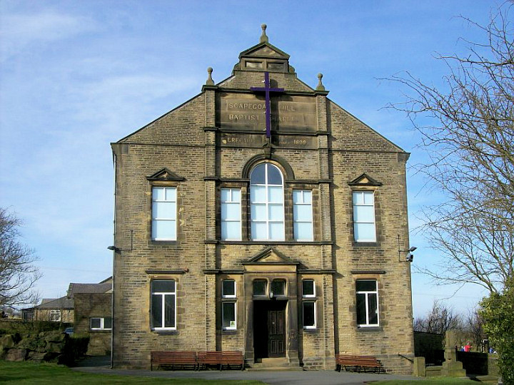
Scapegoat Hill.
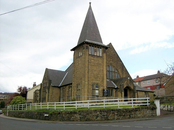
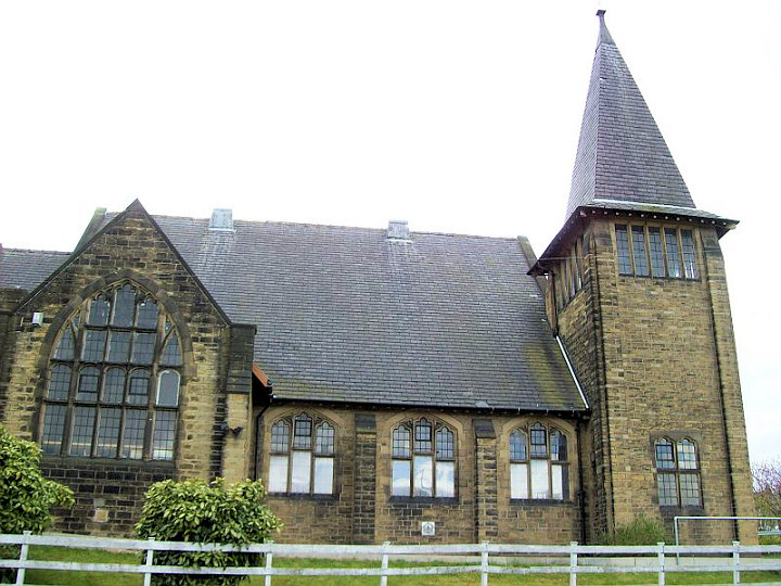
Baptist Church (1899). © David Regan (2012).
Link.
Waterloo.
St. Michael and St. Helen on Quarry Hill. © David Regan (2012).
Link.
|