The Churches of Britain and Ireland
| Hinckley, Leicestershire
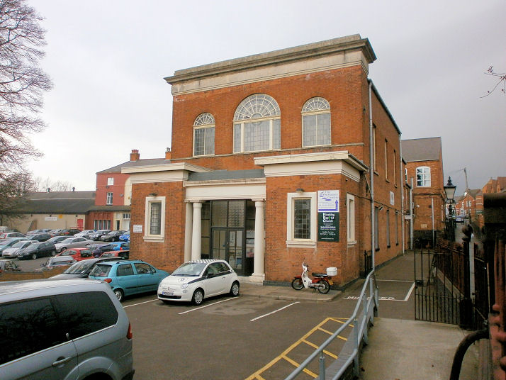
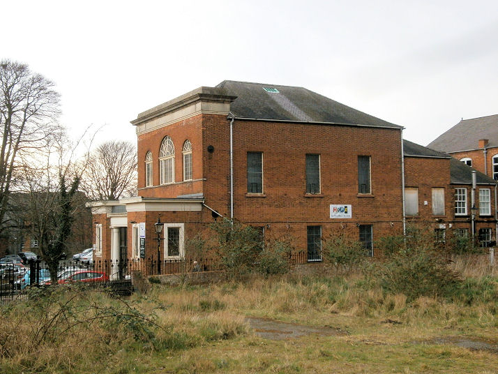
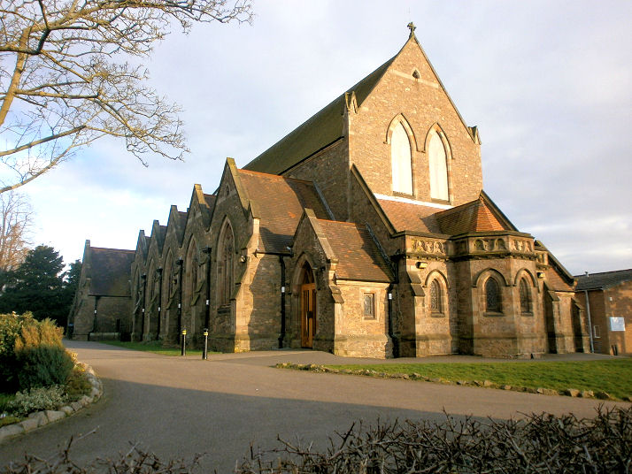
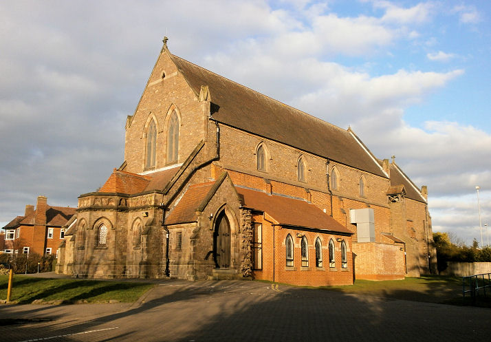
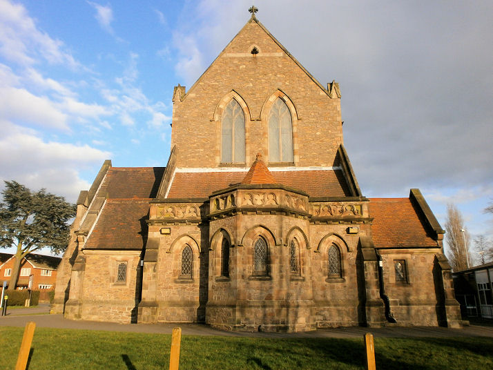
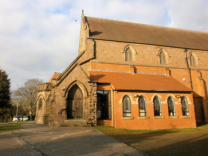
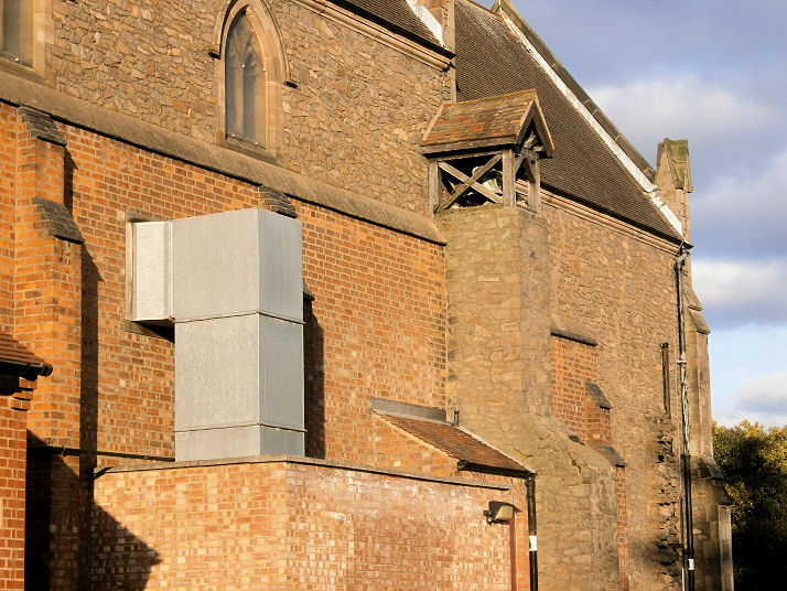
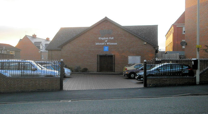
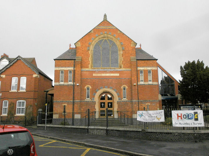
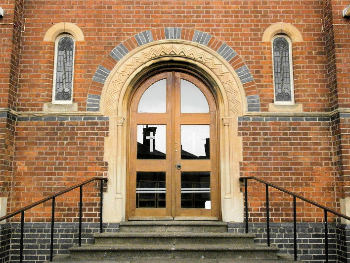
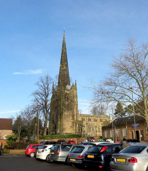
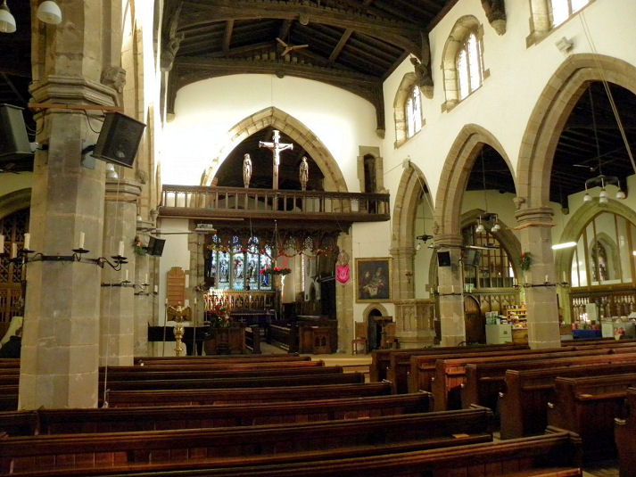
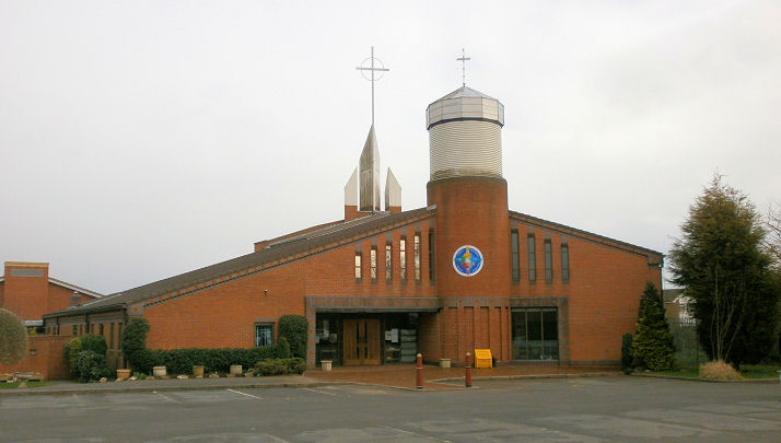
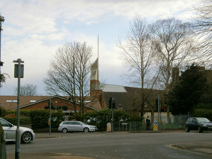
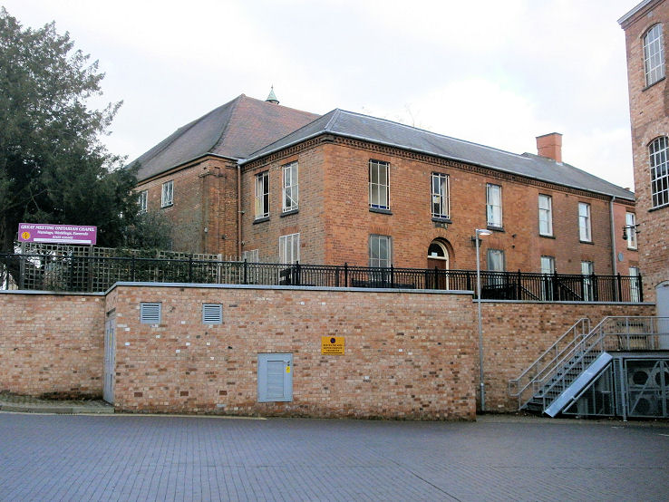
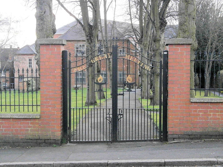
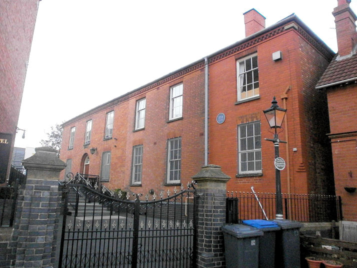
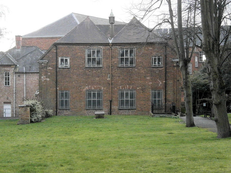
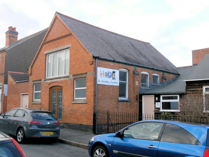
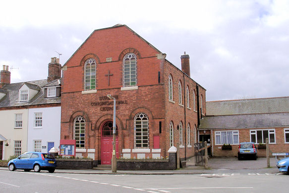
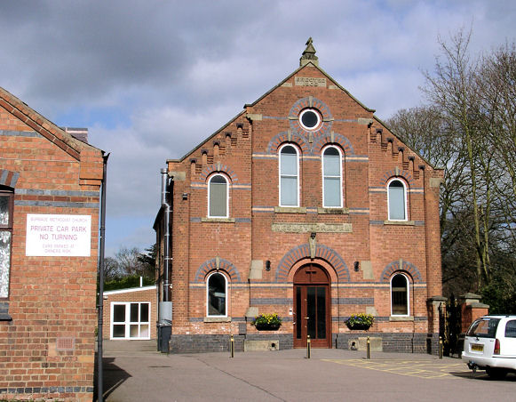
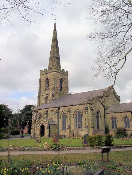
Churches in Burbage. Baptist Church (1806-7) on Baptist Walk. Another view. SP 4278 9414. Both © Howard Richter (2014). A history formerly available here had photos showing the radical alterations carried out in 1921, partly to serve as a War Memorial. Link. History page. The town formerly had a Benedictine Priory, which, according to its Wikipedia link, stood immediately adjacent to St. Mary's, on its south side. Old O.S. maps concur, labelling its site as beneath Hunter's Row (a terrace of housing), On Site of Priory (Benedictine). Hunter's Row has gone, replaced by St. Mary's Community Hall - 2024 Streetview. Circa SP 4271 9379. Hinckley National Spiritualist Church (2024 Streetview) stands on Brunel Road and Station Road. SP 4262 9359. Link. Holy Trinity (1909-10) on Trinity Vicarage Road. Three additional views - 1, 2, 3, and the bell. SP 4232 9288. All © Howard Richter (2015). Link. Grade II listed. As Howard points out, the writer of the listing seems to have gone astray with his comments regarding aisles. It says that a south aisle was built, but the north aisle (and tower) never added. However, the first photo in this entry shows the north side of the church (with aisle), and the third additional photo shows the south side, and a stub-wall immediately right of the door, where the south aisle would have been added. There's no doubt, however, that the tower was never built. Hope Community Church (2022 Streetview) stands on Deveron Way and Clifton Court. SP 4162 9420. Link. Kingdom Hall of Jehovah's Witnesses on Derby Road. It pre-dates 1981, when planning permission was granted for an extension. SP 4292 9431. © Howard Richter (2015). Madina Masjid (2024 Streetview) is on Rugby Road and Willowbank Road. SP 4231 9337. Facebook. Methodist Church on Albert Road, built as Primitive Methodist in 1884. The doorway is rather handsome, in the Norman style. This link shows how the window was radically altered, in 1922. At some time (presumably after the unification of 1932) the name-stone was truncated (compare with the old photo on the link), probably having had "Primitive" cut off. SP 4277 9426. All © Howard Richter (2014). Facebook. This webpage discusses earlier P.M. Chapels, both bought from other churches. Firstly, a chapel bought in 1841 and demolished in 1958. Second, a chapel of 1802, built as Ebenezer Strict Baptist, and bought by the P.M.'s in 1854. An illustration of the 1854 chapel can be seen here, where it says it was eventually demolished in the 1980's, its site now lying somewhere beneath the B&Q store on Leicester Road and New Buildings - 2024 Streetview. Circa SP 4295 9418. Mount Road Baptist Church, on Mount Road, as seen by Streetview in 2024. SP 4281 9368. Link. The history page dates it to 1975. Ashby Road Cemetery has a double-Mortuary Chapel. Not well seen in any of the available Streetviews, here's one from 2021. Large-scale O.S. maps label them as (Northern) Nonconformist, at SP 4300 9478, and (Southern) Church of England at SP 4299 9477. This source dates the cemetery to 1858, as (presumably) do the chapels. There was a Quaker Meeting in Hinckley from the 17th to the 19th century (see e.g here). This source specifies a meeting in Upper Bond Street from 1680, replaced a few years later by a new building on the same site. This in its turn was followed by another new building on Castle Street in 1736. It was "situated in a yard behind the premises of [what is now] Knight & Croft, chemist, on Castle Street". As far as I can ascertain, the chemist has also gone, and I've been unable to establish the site of either meeting. St. John on Coventry Road - 2024 Streetview. SP 4098 9329. Link. St. Mary, and its interior. SP 4271 9382. Both © John Balaam (2012). Link. Grade II* listed. The site of the demolished St. Paul (1911 to "about 1994"), which stood on Leicester Road at SP 4311 9426. © Howard Richter (2014). This link has some history, and photos. St. Peter (R.C., 1992-3) on Leicester Road. Another view. According to the history here (no longer available in 2026), this is the fifth Catholic church in Hinckley, the earliest dating from 1765. SP 4314 9415. Both © Howard Richter (2014). Link. This source has photos of its immediate predecessor which stood on Station Road, dated to 1958-60 and demolished in "about 1991" for structural reasons. I suspect that it stood at the northern end of Station Road, perhaps where the large car park is today - 2024 Streetview. Can you confirm if this is correct, or advise of the earlier R.C. churches? The Beacon Church (a plant from St. John's) meets in the St. Francis Community Centre on Tudor Road and St. Francis Close. SP 4241 9509. Link. The Great Meeting Unitarian Chapel (1722) on Baine's Lane. Three additional views - 1, 2, 3. SP 4263 9410. All © Howard Richter (2015). Link1. Link2. Grade II* listed. Trinity Community Church meets in Wesley House (2024 Streetview) on Stockwell Head and Chapel Yard. SP 4280 9403. Link.
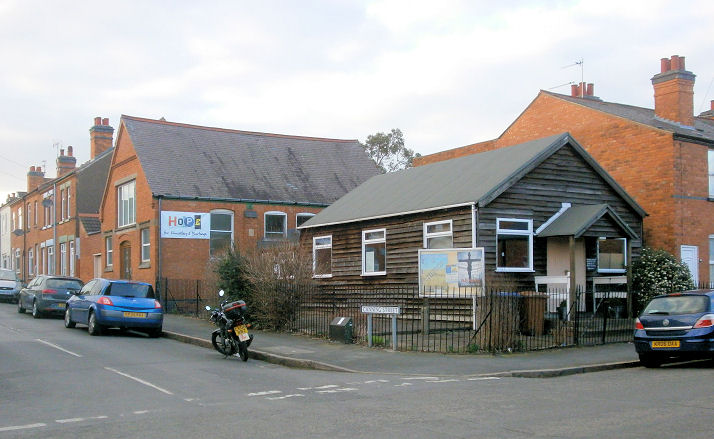
Trinity Lane Christian Church (Fellowship of Churches of Christ) on Trinity Lane and Canning
Street. The brick built chapel came first, in 1904, though the congregation met in a rented room in
the town from 1899; the nearer wooden building was added in the 1920's. Originally a splinter from the Scotch Baptist Church, a brief history of the
church can be found here. SP 4245 9410. All © Howard Richter (2015).
Link. Burbage
|
||
19 August 2026
© Steve Bulman
Contact Details