The Churches of Britain and Ireland
|
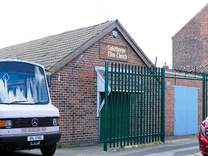
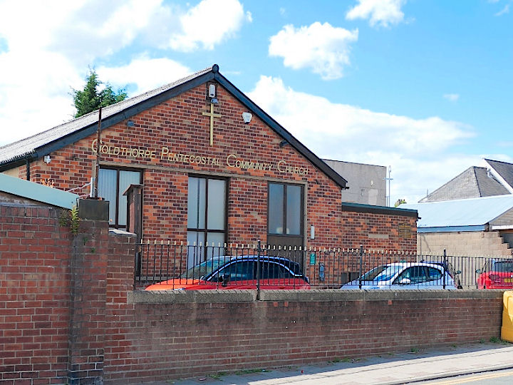
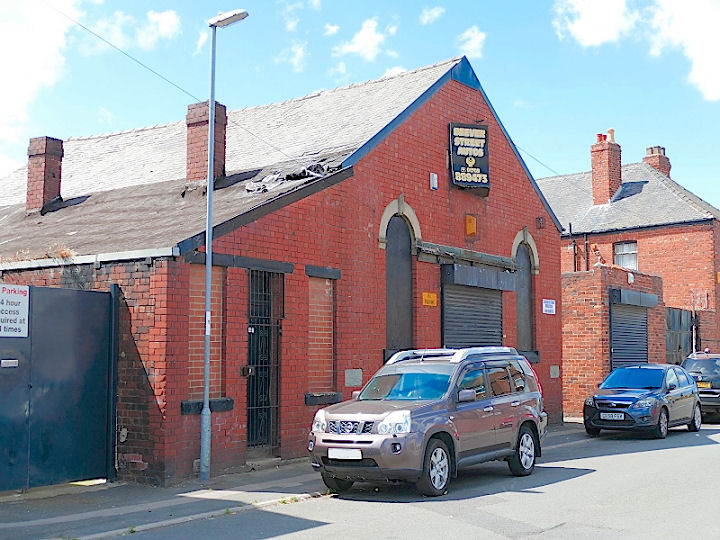
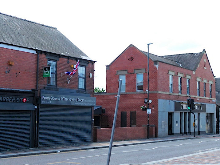
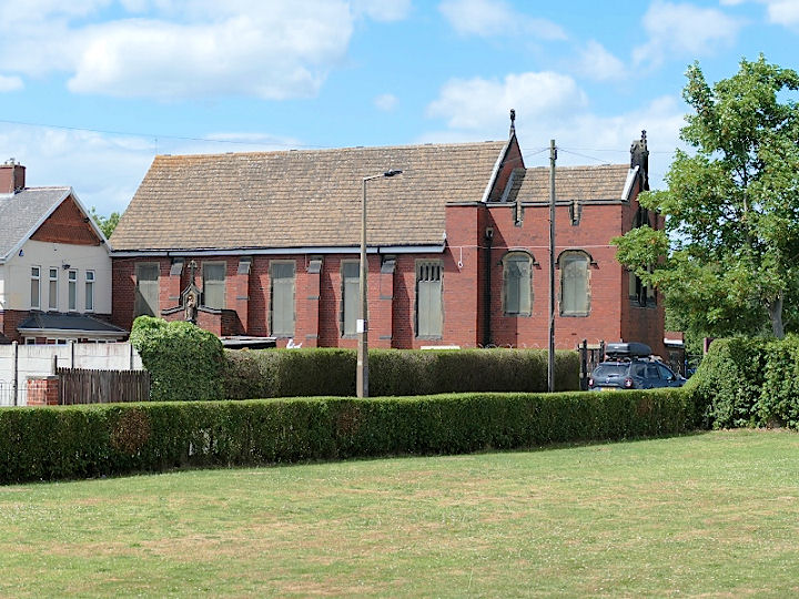
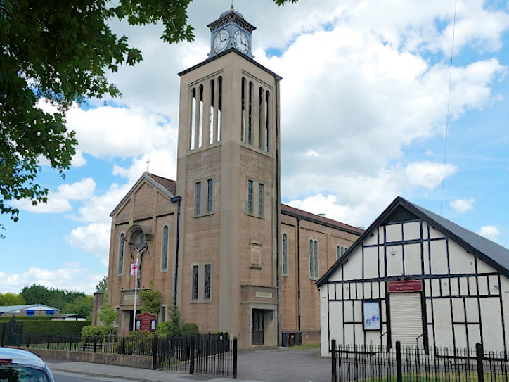
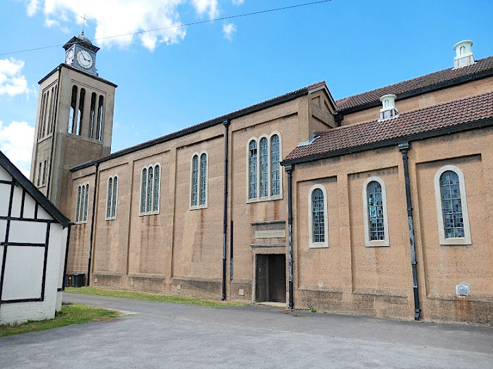
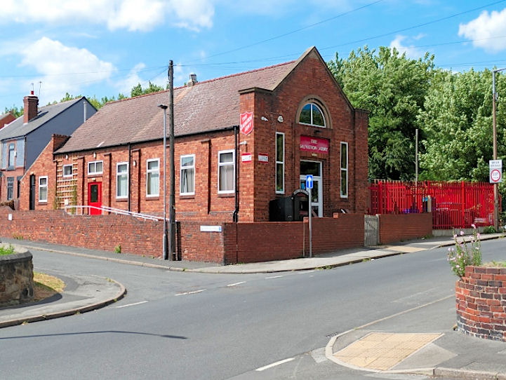
Goldthorpe, South Yorkshire The site (the waste ground) of the demolished Congregational Church on High Street. It's dated here to 1912-1950. SE 4625 0429. © David Regan (2022). Elim Church on Beever Street and Cross Street. The congregation arrived here in 1964, having previously met in rented rooms since the 1950's (source). In 2010 the congregation moved again, into the former St. Mark's Methodist Church on Market Street, and it has since become independent, and re-named as Goldthorpe Pentecostal Community Church (see below). The Beever Street building retains its Elim Church signage, so is perhaps still used by the church. SE 4654 0434. © David Regan (2022). Goldthorpe Pentecostal Community Church on Market Street. This was previously St. Mark's Methodist Church, the present congregation arriving in 2010 from Elim Church - for which see above. SE 4634 0435. © David Regan (2022). A Mission Church can be found on old O.S. maps in Highgate, set back from the south side of the Barnsley Road, at SE 4548 0420. It must be the same church as mentioned here as St. Michael's Mission. Another newspaper report mentions its silver jubilee in 1949, dating the church to 1924. Yet another article shows that it was still active in 1967. Its site (beyond the trees), © David Regan (2022). The former Primitive Methodist Chapel, which stands near the northern end of Beever Street. It pre-dates a map of 1904. SE 4650 0442. What must be its successor stood on Doncaster Road at SE 4632 0440, which was built by 1929. Its site is now a gap between shops. Both © David Regan (2022). Sacred Heart (R.C.) on Lockwood Road, consecrated in 1907 (source). SE 4628 0464. © David Regan (2022). Link1. Link2. St. John the Evangelist and St. Mary Magdalene on Lockwood Road. Another view. SE 4634 0456. © David Regan (2021). Link. The grade II listing has interior views, and dates it to 1914-16, an early example of a reinforced concrete building. It's predecessor is marked on old maps - St. Alban's Mission Church, dated here to 1895. It stood just a few yards to the south, at SE 4632 0453. The short-wall entry was about where the tree stands, and running back along the line of the path, as seen here in a Streetview from 2011. The former St. Mark (Methodist) on Market Street, is now Goldthorpe Pentecostal Community Church. SE 4634 0435. © David Regan (2022). The date of St. Mark is not apparent. Wesley Hall was (according to this source, with photo) opened in 1928, but exactly where was it? Was Wesley Hall on the site of St. Mark's? The Salvation Army Church on Straight Lane and Highfield Avenue was (according to this source) registered for worship in "about 1937". SE 4602 0420. © David Regan (2022). Link. The site of the demolished Spiritualist Church on Lockwood Road. This source says it was registered in about 1950, and identifies it with a building opposite the Street junction. If correct, it was still standing, but derelict, when Streetview made its most recent visit in 2011. Circa SE 4630 0450. © David Regan (2022).
|
||
04 March 2023
© Steve Bulman
Contact Details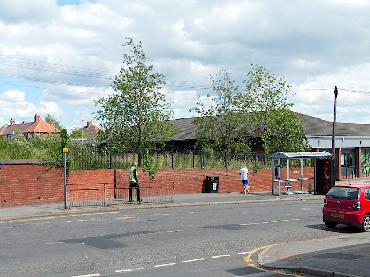