The Churches of Britain and Ireland
| Durham, County Durham
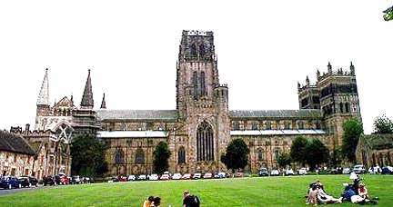
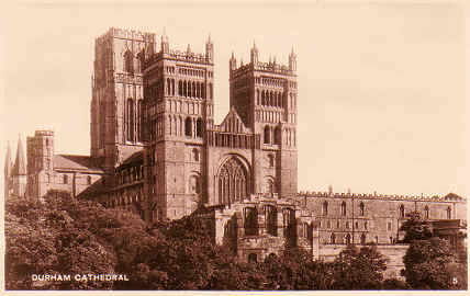
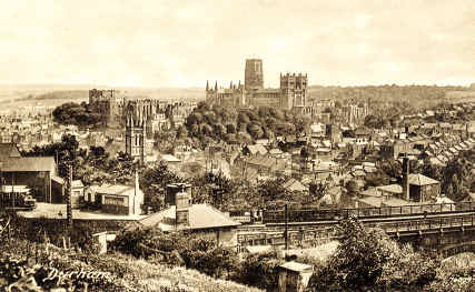
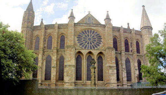
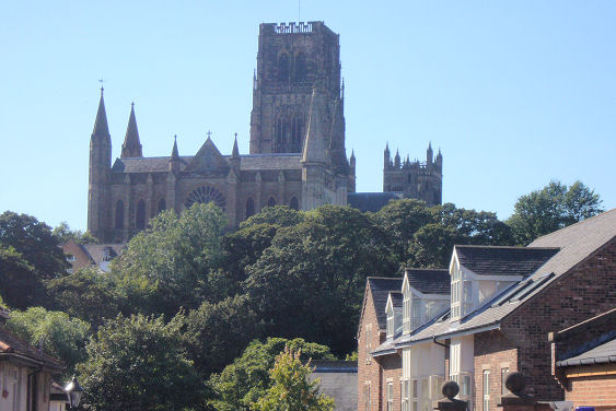
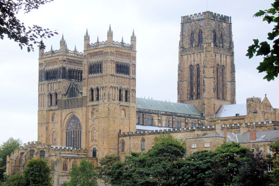
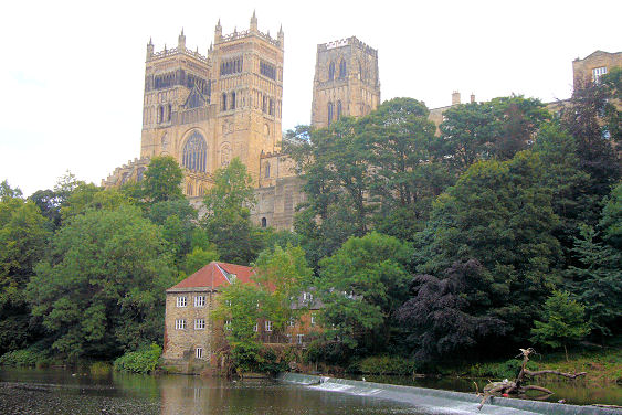
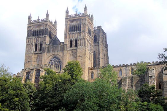
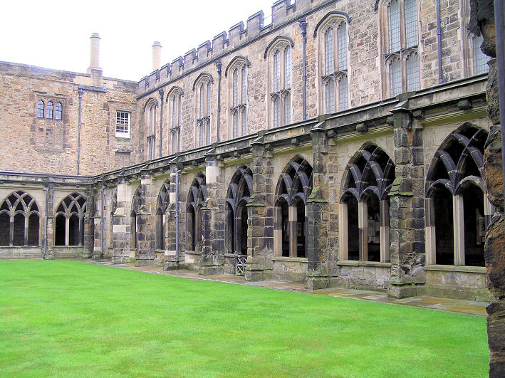
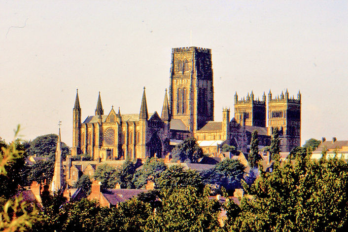
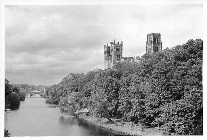
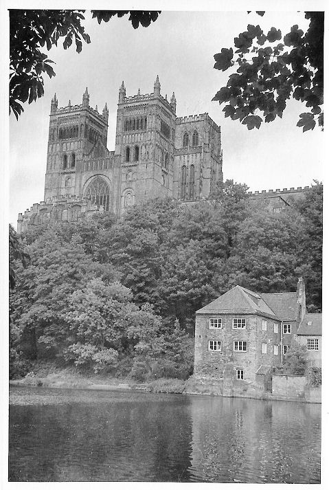
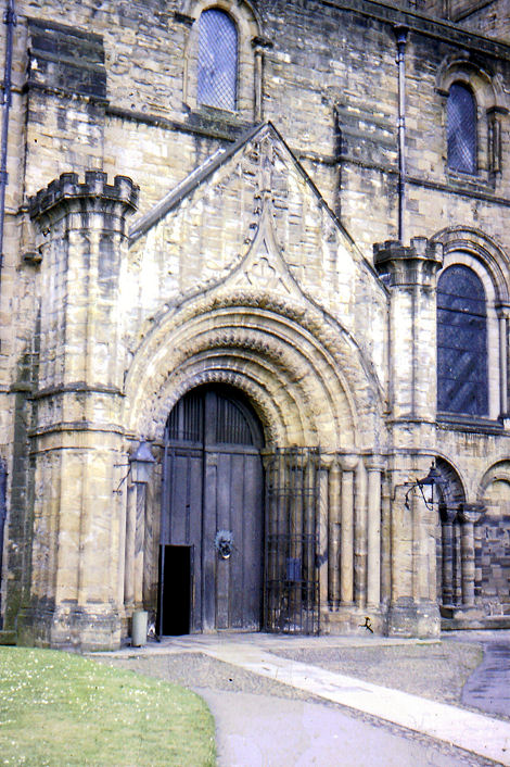
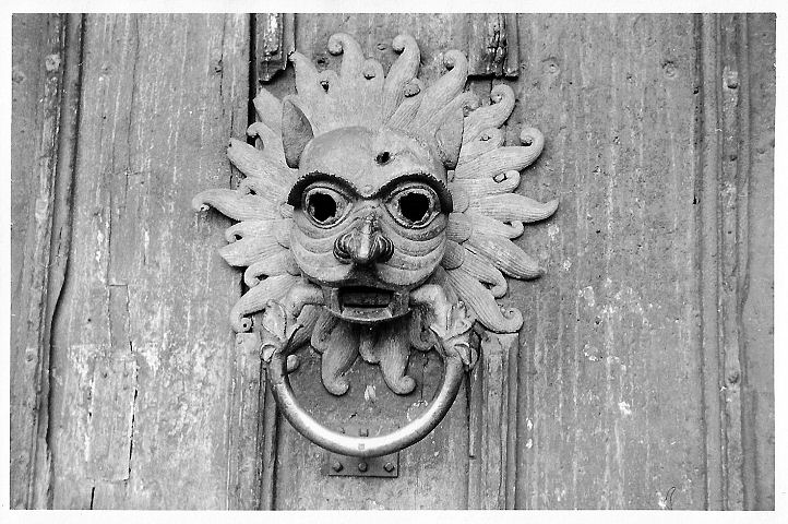
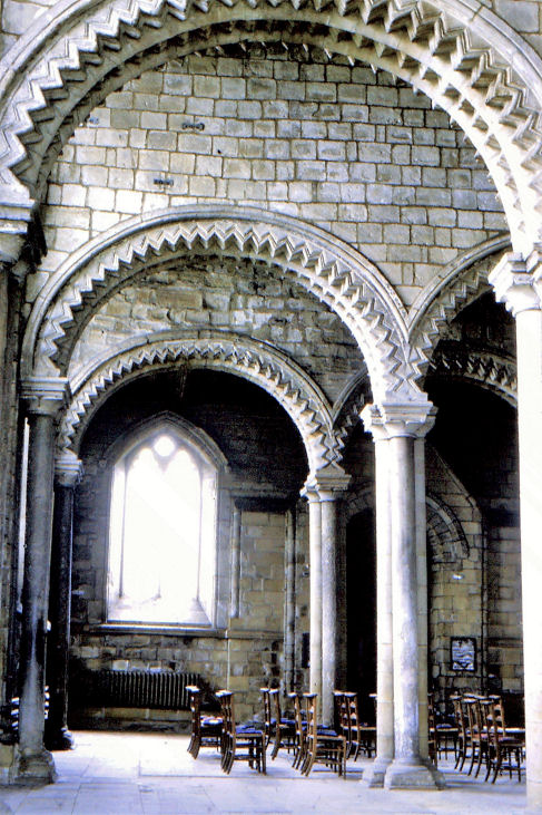
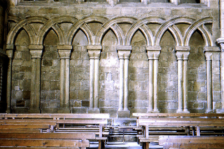
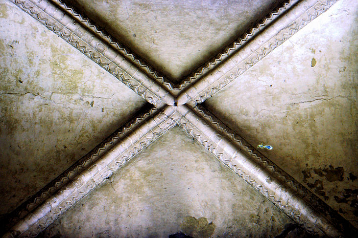
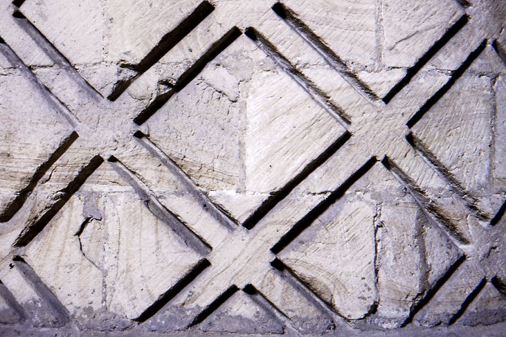
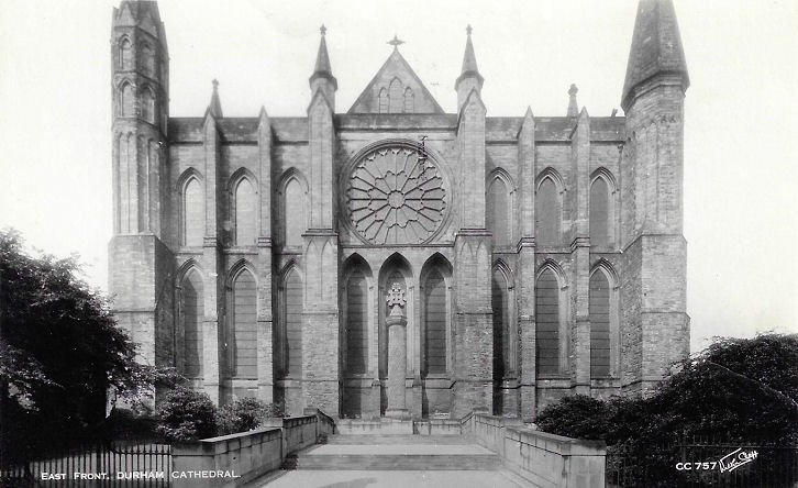
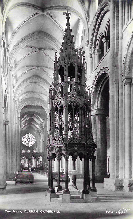
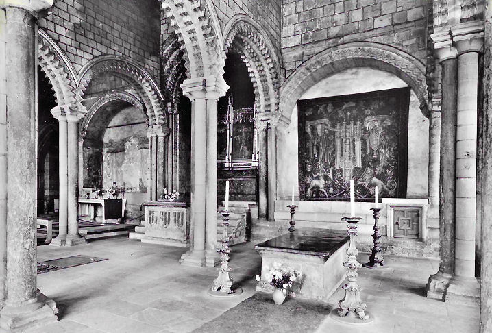
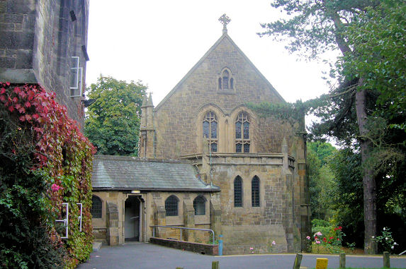
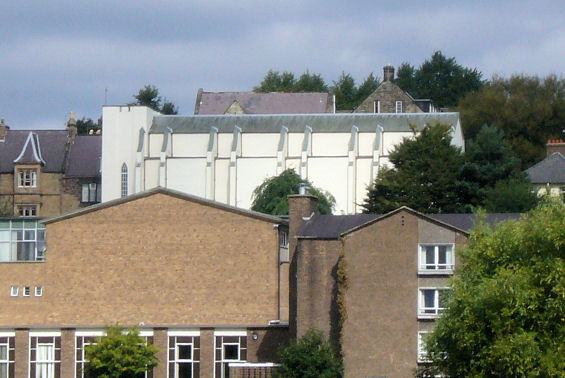
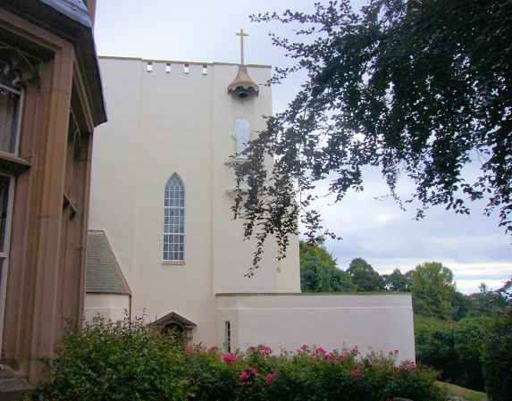
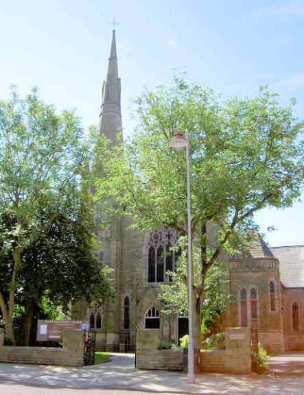
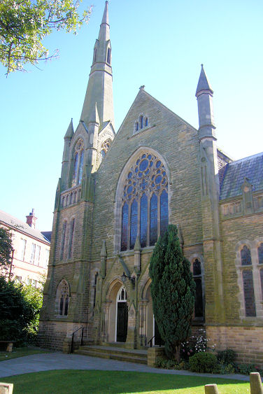
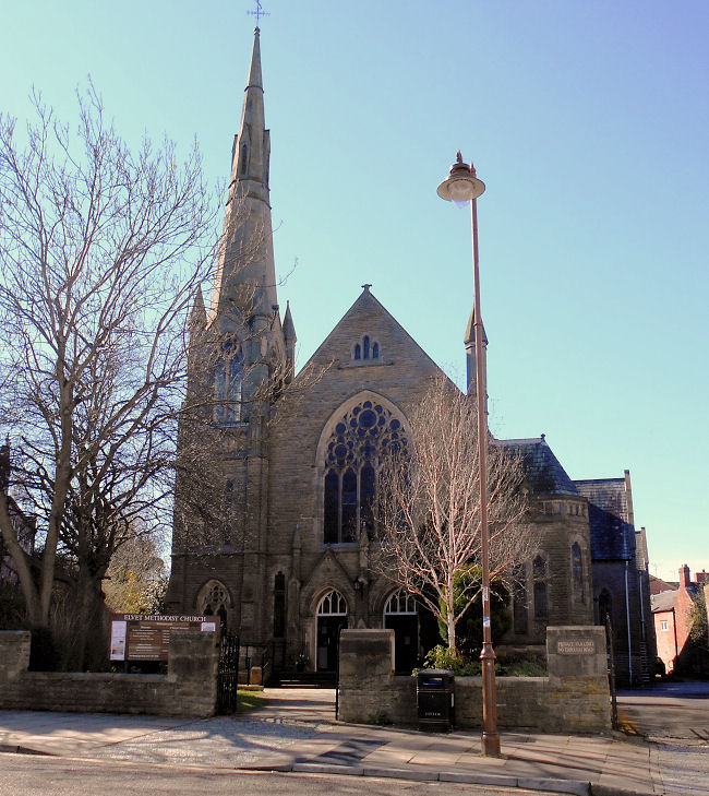
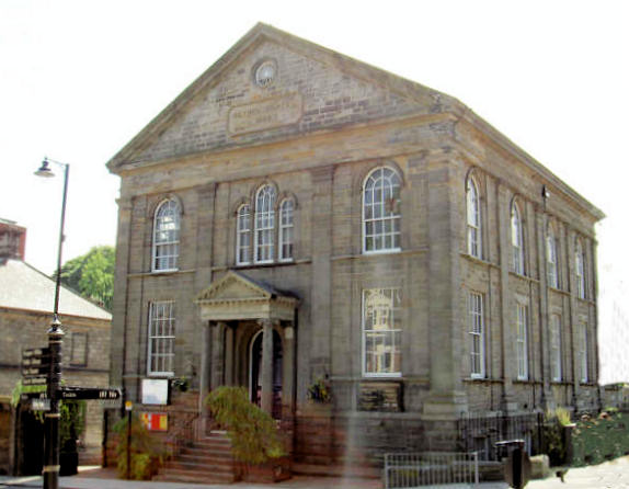
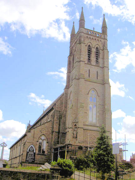
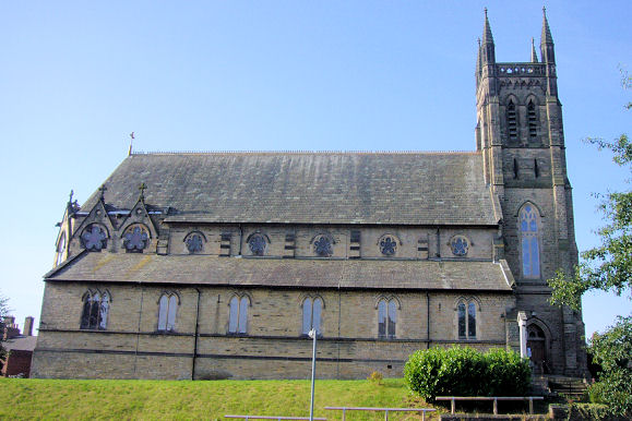
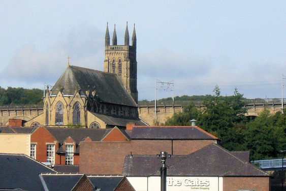
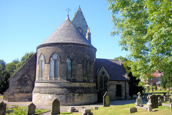
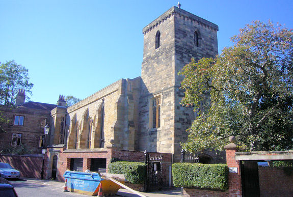
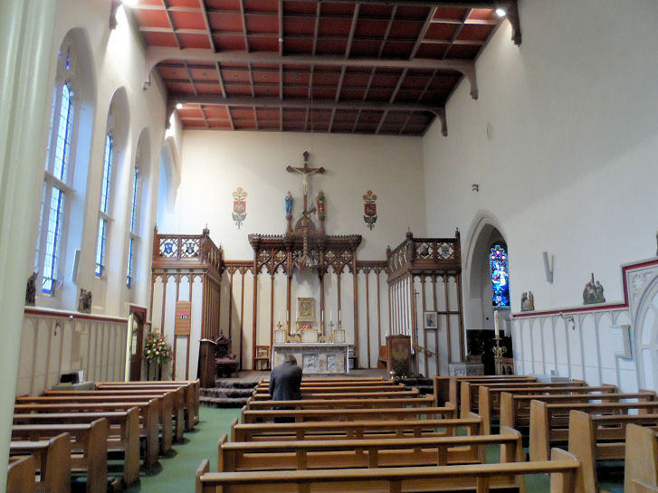
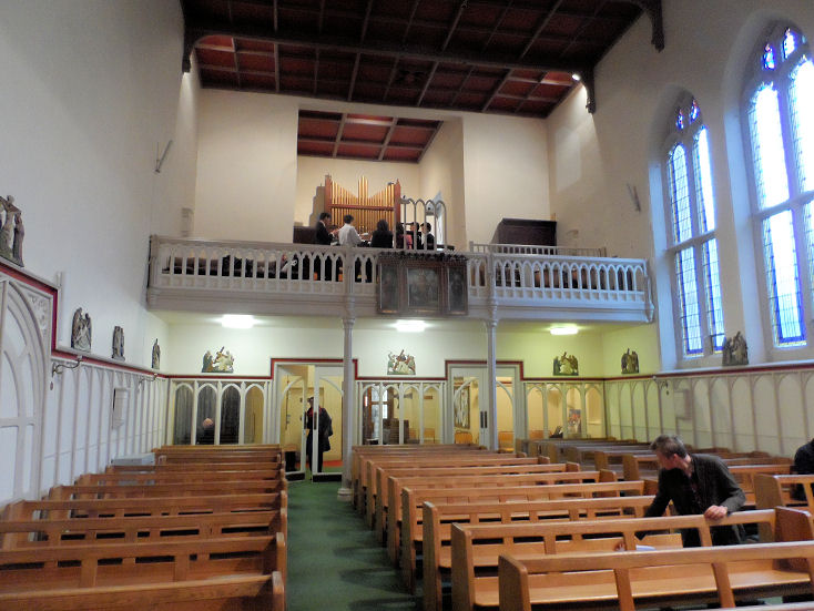
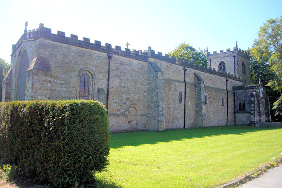
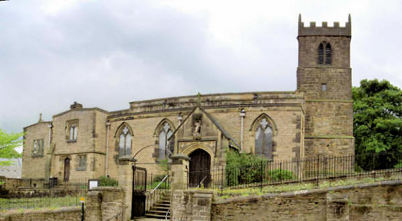
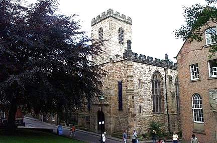
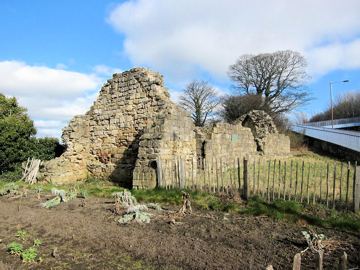
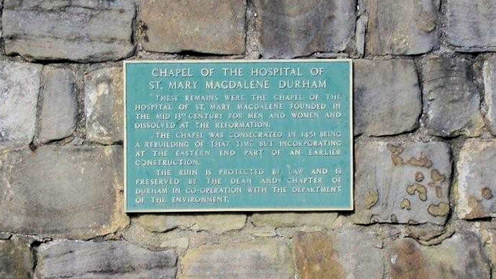
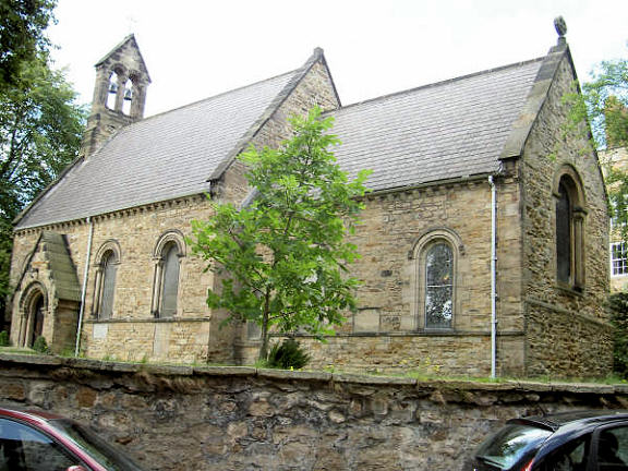
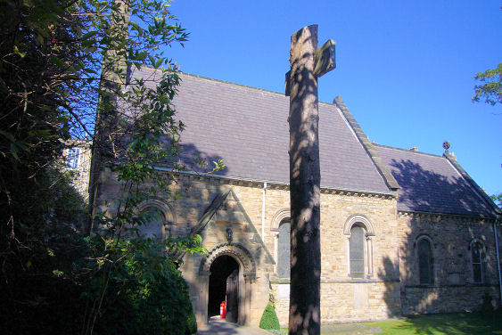
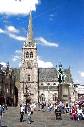
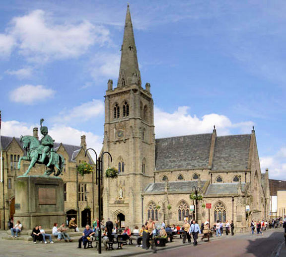
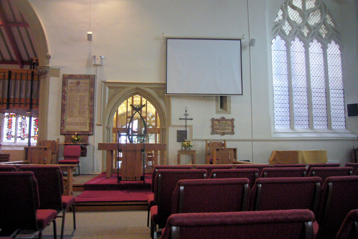
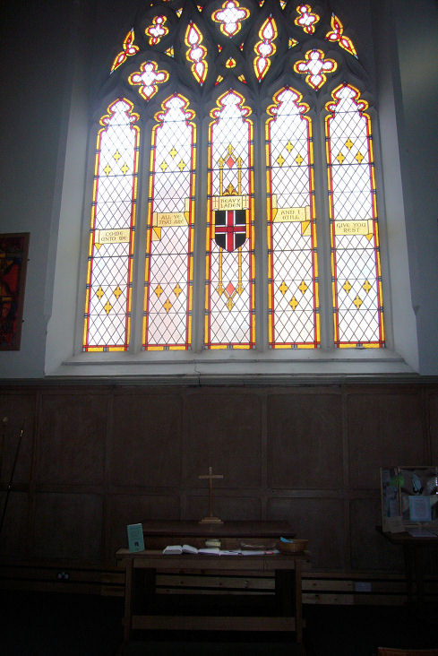
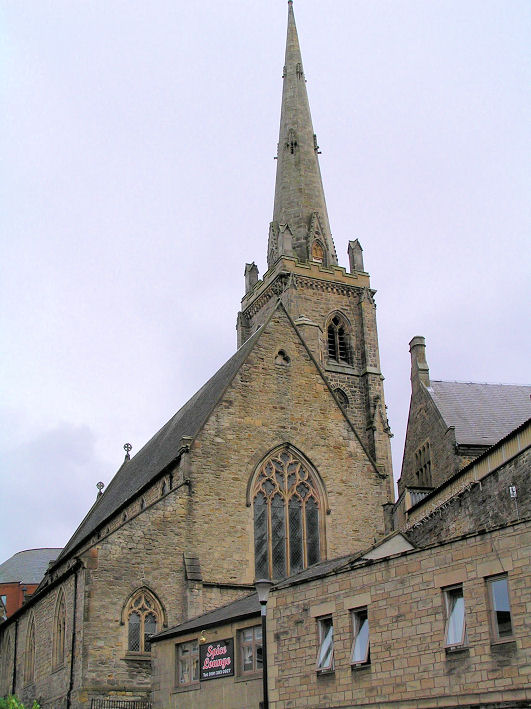
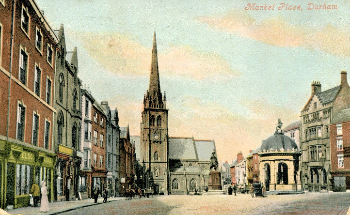
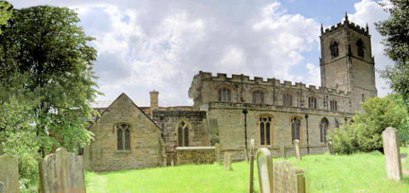
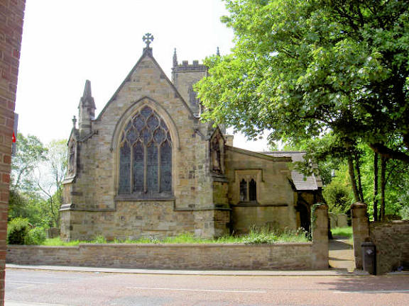
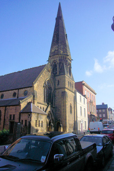
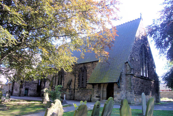
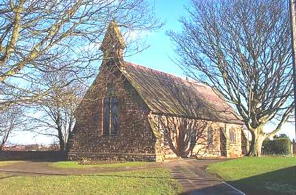
Churches in Belmont (including Carrville and Gilesgate Moor), Framwellgate Moor, Neville's Cross, Newton Hall. Baptist Church, off Sunderland Road, as seen in the background in a Streetview of 2018. NZ 2903 4280. The church website includes a history which details the places the congregation met following its formation in 1949 until the present church was opened in 1959. These include Shakespeare Hall on North Road (2018 Streetview - the green door gives access to meeting rooms upstairs, circa NZ 271 425), and a St. John’s Ambulance Brigade hut (somewhere off Churchill Avenue). The Cathedral, dedicated to St. Cuthbert. Its full official dedication is "The Cathedral Church of Christ, Blessed Mary the Virgin and St. Cuthbert of Durham". NZ 2735 4215. © Bill Henderson. A view from an old postcard in Steve Bulman's Collection. Another postcard view (card franked 1929), from the collection of Mrs. Marion Allen. Another view, © Alan Blacklock. Further views of the cathedral (1, 2, 3, 4) all © James Murray. And two more © John Bowdler - 1, 2. Three more views - 1, 2, 3, the north doorway and its knocker (since replaced with a replica), the interior, the Galilee Chapel, blind arcading in the north transept, nave vaulting, detail of a carved pier in the north aisle of the nave, a cross showing Christ in Majesty, said to be from the vanished Neasham Priory (for which, see the Durham page). All © Christopher Skottowe (1962 and 1977). The East front, nave, Galilee Chapel and the clock, all from old postcards in © Christopher Skottowe's Collection. Link. Grade I listed. Chapel of Hatfield College, © James Murray. Chapel of the College of St. Chad. Interior view. Both © James Murray. Former Chapel on Gilesgate. NZ 2854 4278. © James Murray. Janet Gimber has advised that this was originally Wesleyan Methodist, and was later known as Gilesgate Methodist Chapel. Former Chapel of the College of St. Hild, which now serves as a library. The college amalgamated with Bede College in the 1980's, the Chapel of which now serves as the Chapel of St. Hild and St. Bede College. Another view. All © James Murray. Durham School Chapel (private) as seen by the Streetview van in 2010. Built 1924-8, it stands behind the school (on Quarryheads Lane) at NZ 2678 4187. Link (includes interior photos). Durham University Islamic Society Mosque is in a building behind the Dun Cow pub (2019 Streetview) on Old Elvet. NZ 2787 4235. Link. Elvet Methodist Church. NZ 2770 4233. © Alan Blacklock. Another view, © James Murray, and another, © Bill Henderson (2016). A Friends' Meeting House is shown on a map of 1860-1, off the south side of Claypath. A library was built circa 1900 (seen here in 2019, now in commercial use), but whether the meeting house remains at the rear, was demolished, or was incorporated into the new building, is not known. North Road Methodist Chapel, originally the Bethel Chapel, dates from 1853. © Alan Blacklock. Thanks to James Murray for its current status. Our Lady of Mercy and St. Godric (R.C., Pugin, 1864). The tower was added in 1909. NZ 2705 4264. © Alan Blacklock. Another view, and a view over the rooftops. Both © James Murray. The church website advises of a severe fire in 1985, forcing its closure for two years. Grade II listed. Presbyterian Church on Laburnum Avenue, as seen by the Streetview van in 2014. Built sometime after 1898 (no building present on a map of that vintage), what seems to be the same building (at least it has the same footprint) is marked on maps of 1919 - 1966 as a synagogue, in 1967 as a Pentecostal Church, and thereafter as" Ch." or "PW". NZ 2653 4240. Link. The former Primitive Methodist Chapel on Back Silver Street (NZ 2731 4249), as seen by the Streetview van in 2010. Its My Primitive Methodists entry dates it to 1826 (click on the census image). It also says that it was superseded by Jubilee P.M. Chapel on North Road from 1861. The Jubilee Chapel was demolished in 1961, and its site (now Iceland) can be seen here in a 2018 Streetview, though the chapel stood further back than the current frontage. St. Anthony's Priory (Anglican) stands off Claypath at NZ 2767 4264, in what was the vicarage of St. Nicholas Church. It is probably the building in the distance immediately above the silver car seen in this 2019 Streetview. Link. St. Cuthbert on Framwellgate Peth. NZ 2678 4312. © James Murray. Another view, © Bill Henderson (2016). St. Cuthbert (R.C.) at Elvet. NZ 2780 4228. © James Murray. Two interior views - 1, 2, both © Mike Forbester. Link, and history here). The grade II listing says it was built in 1826-7; the tower and Lady Chapel added in 1869. St. Giles on Gilesgate. Parts of it date back to the 12th century, when it was founded as part of St. Giles Hospital. NZ 2838 4267. © James Murray. Another view, © Alan Blacklock. Grade I listed. According to this source there were two bridge chapels on Elvet Bridge. St. James Chapel, at the western end (NZ 2752 4243) and at the opposite end, St. Andrew's Chapel (NZ 2757 4240). Here's a view of the western end of the bridge from Streetview. Apparently a fragment of St. Andrew's survives, but the photographs I've been able to find on-line don't indicate exactly where - but here's a general view. St. Joseph (R.C., 1966) on Belles Ville (originally Mill Lane), as seen in a 2016 Streetview. NZ 2930 4272. Link. Some O.S. maps mark "Site of St. Leonard's Chapel" just to the north of St. Cuthbert, at NZ 2675 4318. The point marked is to the left of the large white building, as seen here on a 2016 Streetview. St. Margaret of Antioch. NZ 2711 4239. © Alan Blacklock. Grade I listed. St. Mary le Bow stands on North Bailey, at NZ 2746 4216. It's now a heritage centre. © Bill Henderson. Grade I listed. The ruins of St. Mary Magdalene medieval chapel stand at NZ 283 429, immediately north of the A690. Another view. A plaque gives a little history - the chapel was also a hospital, which at the time served the spiritual as well as the physical needs of the patients. It was also a parish church. All © Martin Richter (2012). Link1. Link2. Link3 (which includes a scale drawing). Grade I listed. St. Mary the Less, the chapel to St. John's College, is a former parish church. NZ 2733 4195. © Alan Blacklock. Another view. © James Murray. Link. Grade II listed. St. Nicholas (1857-8). NZ 2740 4257. © Bill Henderson. Another view, © Alan Blacklock. Interior view, © James Murray. James advises that the ecclesiastical usage of the church was turned by 90 degrees in the 1990's. The site of the original high altar. Another view of the church, © John Bowdler. An attractive old postcard view of the market place and St. Nicholas. From Andrew Ross's Collection. Link. Grade II listed. St. Nicholas' Cemetery on Providence Row has a mortuary chapel, as seen by the Streetview van in 2010. NZ 2766 4291. St. Oswald. Another view. NZ 2762 4191. Link. Its grade II* listing says that it dates from the late 12th century, and is probably on the site of an earlier church. St. Oswald Church Institute. All © Alan Blacklock. The site of another medieval chapel - St. Thomas the Martyr - is also indicated on some maps, at NZ 2770 4279. North of Claypath, the site is now near the western end of Hill Crest. The site indicated is behind the property seen in this 2014 Streetview. Salvation Army on Saddler Street incorporates part of the North Gate of the castle. NZ 2747 4236. © James Murray. Grade II* listed. The Spiritualist Church on John Street can be seen here on a 2014 Streetview. NZ 2675 4247. Link. Former U.R.C. (1905) on Claypath was previously Congregational. NZ 2757 4267. © James Murray. Previously unnamed, thanks to David Regan for providing the identification. This source lists 3 previous chapels on the same site since 1751. Since James took his photo, the church has become Christchurch - link. Grade II listed. Waddington Street U.R.C. (1872) was originally Presbyterian. It can be seen in Streetviews here (2019) and here (2018). NZ 2675 4265. Link, history here. A Wesleyan Methodist Chapel is shown on an 1861 O.S. map at NZ 2770 4243, on what was then Chapel Passage. By 1919 it was being indicated as a Salvation Army Hall, and the last map showing it is of 1938-9. Since demolished (date not known), the site can be seen on a 2019 Streetview here, about where the two white cars stand, visible between the gates.
Belmont (including Carrville and Gilesgate Moor).
Framwellgate Moor.
Neville's Cross.
Newton Hall
|
||
20 July 2025
© Steve Bulman