The Churches of Britain and Ireland
| Duns,
Borders
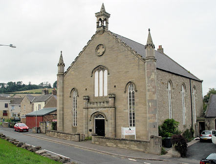
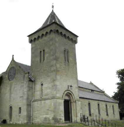
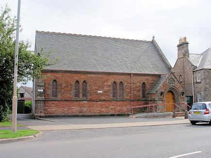
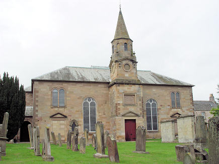
Boston Free Church is shown on older maps on Station Road at NT 7867 5352. This source, which calls it Boston Memorial Church, dates it to 1838, as United Presbyterian - it was later CoS. It site, which is now home to sheltered housing, was seen by Streetview in 2021. The former South United Presbyterian Church, now a carpet shop. An inscription just below the bell reads "Built 1763, Rebuilt 1851". NT 7866 5392. © Steve Bulman. Christ Church (Episcopal) on Teindhillgreen. NT 7859 5425. © Bill McKenzie. Link. Older maps label East United Presbyterian Church on Easter Street at NT 7868 5404. Housing now stands on the site - the church stood a little further back from the road. This source dates it to 1743, originally as Antiburgher. Our Lady and St. Margaret (church board), Our Lady Immaculate and St. Margaret (Pevsner), (R.C.). NT 7915 5373. © Steve Bulman. Link. Parish Church. A tablet above the door reads "Erected 1790, Destroyed by fire 1879. Restored 1880". NT 7862 5386. © Steve Bulman. Link.
|
||
20 July 2025
© Steve Bulman