The Churches of Britain and Ireland
| Downham Market, Norfolk
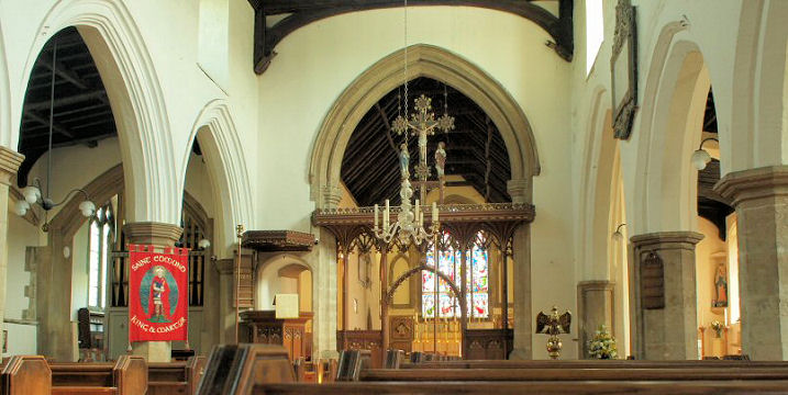
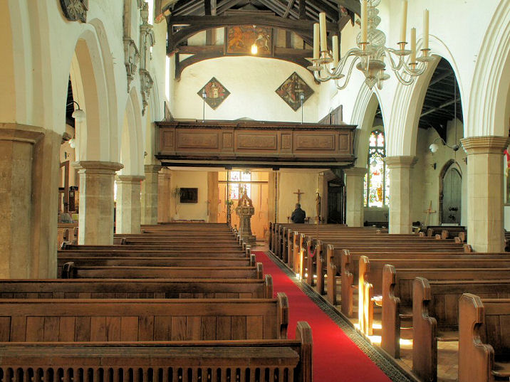
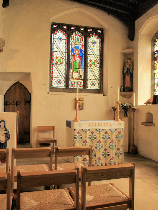
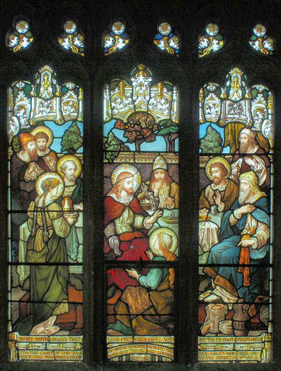
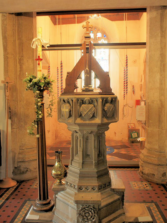
A former Baptist Chapel (2010 Streetview) on a tongue of land between London Road and Ryston End survives as a Masonic Hall. Its grade II listing dates it to the mid-19th century. TF 6122 0291. Downham Market Christian Fellowship meets in the The Sovereign Centre on Sovereign Way. It was seen by Streetview in 2016. TF 6037 0283. Link. The cemetery a little way south of the St. Edmund has two identical Mortuary Chapels - the northernmost is CoE, at TF 6134 0318, with the Nonconformist at TF 6133 0316. This photo is, I suspect, of the CoE chapel. © Chris Stafford (2013). Link. The Methodist Church is on Paradise Road at TF 6094 0339. It was seen by Streetview in 2016. Link. The former Mount Tabor United Methodist Chapel on Bridge Street is grade II listed, wherein it's dates it to 1859. Streetview saw it in 2016. TF 6081 0318. The Primitive Methodist Chapel is mentioned here as having been built in 1870 "nearly opposite the courthouse on London Road" in the notes at the bottom of the page. This puts it about opposite the junction of London Road with Ryston End, at circa TF 6117 0299. No available maps mark a place of worship here. The same source also notes an earlier chapel of 1834, but not whether it was on the same site or not. There is a photo of one of these chapels. In this 2018 Streetview, the old courthouse is on the left, so the later chapel (or both) would have stood somewhere on the other side of the road. St. Dominic (R.C.) on Howdale Road, as seen by Streetview in 2012. TF 6129 0209. Link1. Link2. St. Edmund. TF 6127 0330. © David Regan (2019). Two more views - 1, 2, two of the interior - 1, 2, a side chapel, a window, and the font, all © Chris Stafford (2013). Link1. Link2. Grade I listed. Part of the churchyard wall is listed as grade II. The former Wesleyan Methodist Chapel (2016 Streetview) is on Cannon Square, at TF 6121 0336. Link, wherein it's dated to 1810 or 1813, with closure in 1964. Old O.S. maps mark Zion Baptist Chapel on Priory Road at TF 6107 0311. It didn't survive in active use beyond the mid20th century. It survives, now as a florist, and was seen by Streetview in 2018. Older maps also mark a so far unidentified Chap. on High Street, about opposite the end of Howdale Road, at TF 6114 0304. Its site now lies beneath the closer shops and the car park behind seen here in a Streetview from 2016. Can you name it?
|
||
20 July 2025
© Steve Bulman