The Churches of Britain and Ireland
| Cudworth, South Yorkshire
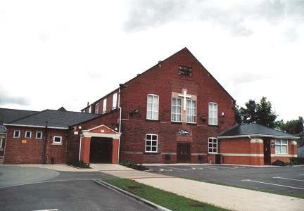
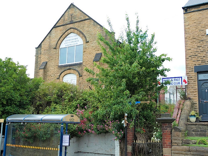
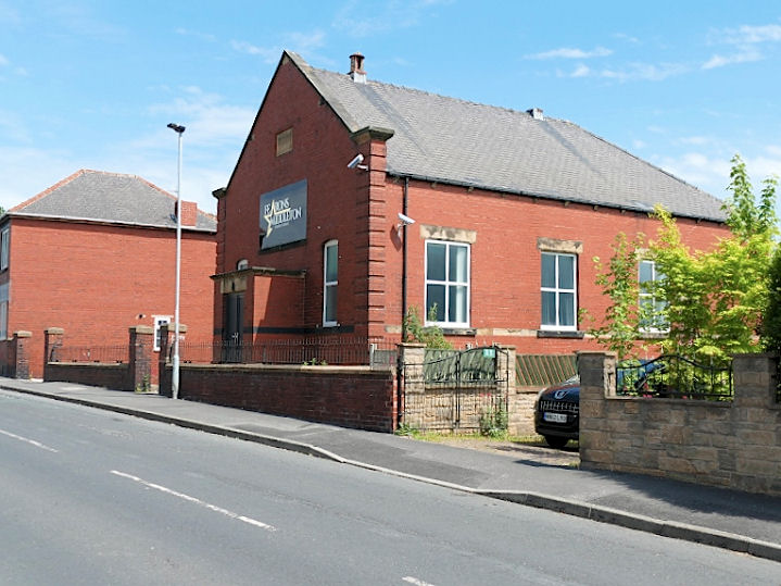
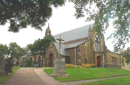
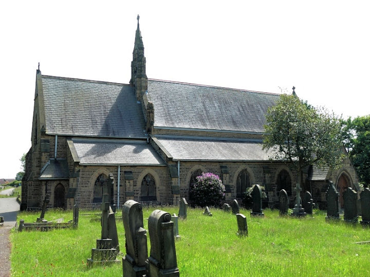
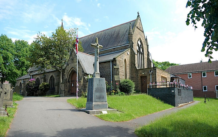
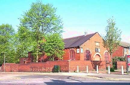
A former Methodist New Connexion Chapel stands on Barnsley Road, near its junction with Manor Road. It's currently in use as a boxing club. SE 3823 0875. © David Regan (2022). Older O.S. maps show a Mission Room on St. John's Road. It stood where the trees are near the road in this Streetview from 2018, long axis parallel to the road. It pre-dates a map of 1904, and had gone by 1930. SE 3862 0880. The former Primitive Methodist Chapel on White Cross Road is now in use as a dance school. It's dated here to 1928-1963. SE 3901 0851. It also says that it was successor to an earlier chapel of 1860 on the same road. This was at SE 3882 0846, and its site was seen by Streetview in 2019 - the house with the gable end to the camera. © David Regan (2022). St. John the Baptist, on Church Street. This source dates it to 1893. SE 3871 0885. © Bill Henderson. Two more views - 1, 2, both © David Regan (2022). Link. St. Mary Magdalene (R.C.) on Prospect Street, as seen by Streetview in 2014. Link. Zion Wesleyan Reform Church, off Pontefract Road. SE 3903 0996. © Bill Henderson.
|
||
04 March 2023
© Steve Bulman