The Churches of Britain and Ireland
| Cockermouth, Cumbria
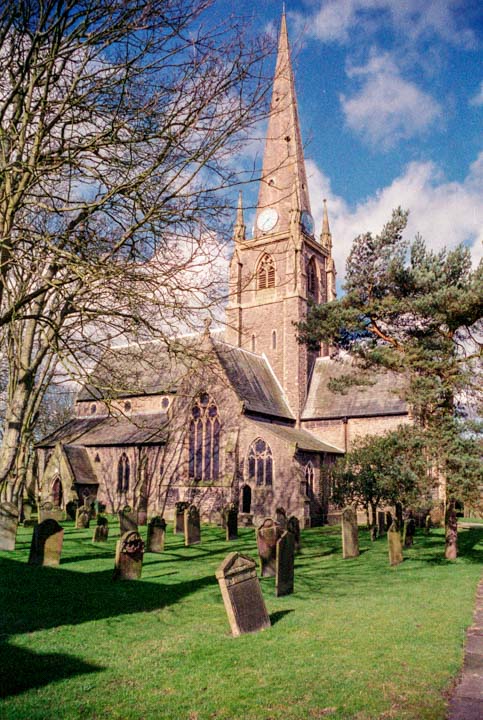
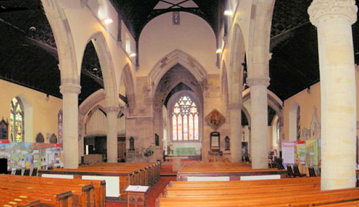
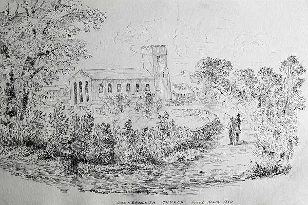
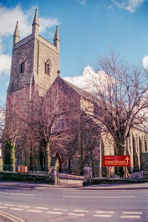
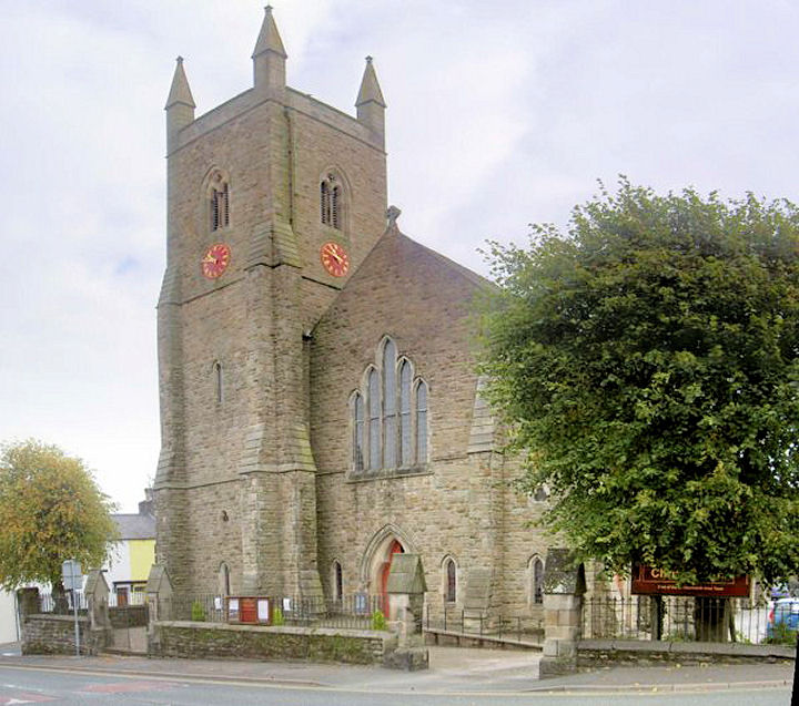
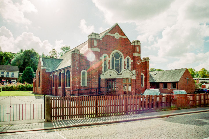
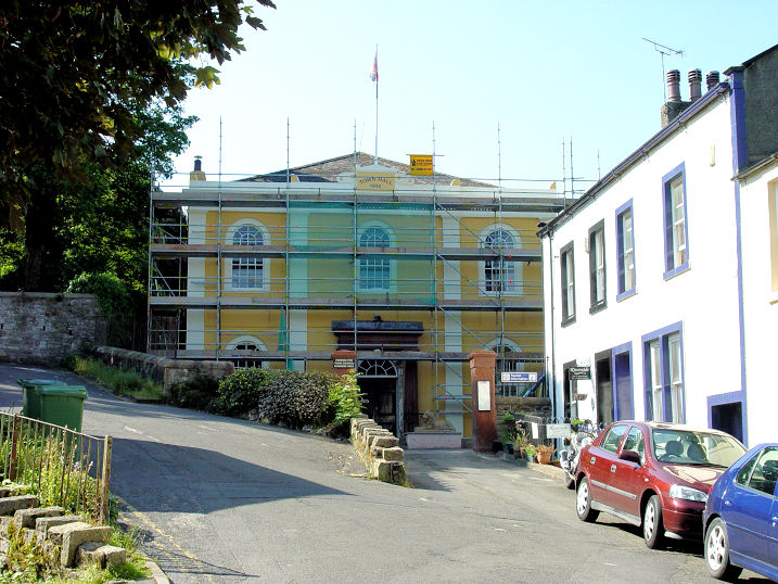
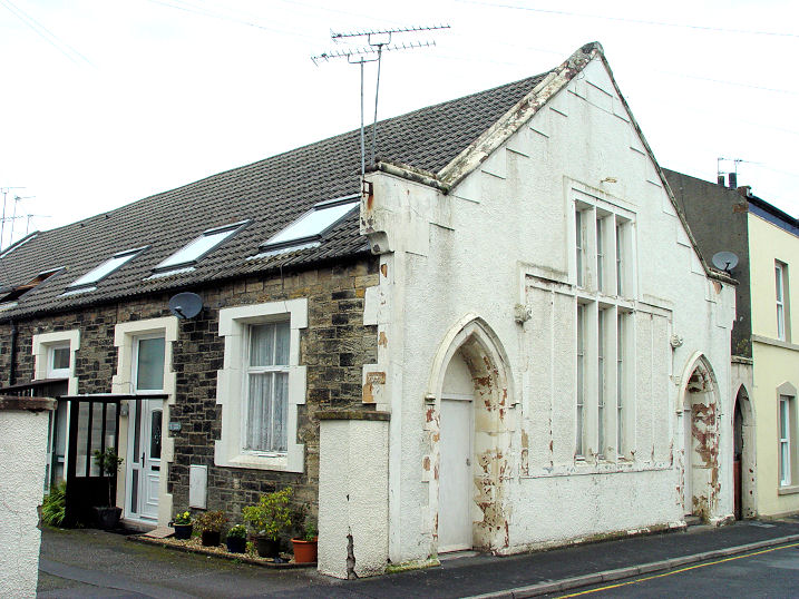
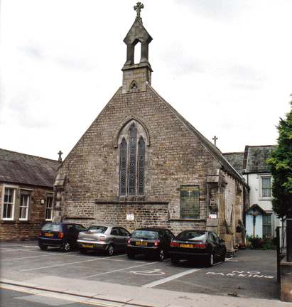
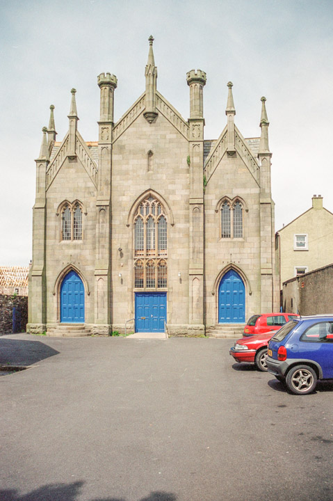
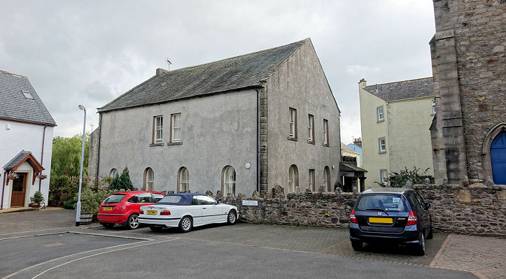
All Saints (1852-4). NY 1236 3064. © Steve Bulman. Interior view, © Alan Blacklock. Link. This building was preceded by another, dating from 1711, which burned down in 1850. A drawing of the old church, made by Thomas Bland in the 1850's is available here, reproduced by kind permission of Carlisle Library. It's from the searchable Cumbria Image Bank, which can be accessed here. Grade II* listed. Cemetery Chapel. NY 1273 3014. © Judith Anderson. Grade II listed. This source mentions a medieval Chapel of St. Leonard, "at west end of town". Another source (pdf) says that it stood west of the Derwent Bridge. In this 2018 Streetview, the bridge is round the corner to the right, where the white car has come from, so the chapel will have been somewhere along the road straight on. This same source mentions a medieval Chapel of St. Helen, "at head of St Helen’s Street". If we assume this to mean roughly where St. Helens Street joins Kirkgate, and becomes Market Place, then it will have stood somewhere round here, as seen by the Streetview van in 2015. Kirkgate joins from the left, just before the trees. Christ Church (1863-5). NY 1188 3056. © Steve Bulman. Another view, © Alan Blacklock. Link. Grade II listed. Friends Meeting Room (1884) on Kirkgate. Another view. NY 1244 3050. Both © Steve Bulman (2016). Link. The King's Church meets at Cockermouth School - seen here in a 2015 Streetview. Link. Methodist Chapel. NY 1215 3037. Link, which says that the present town hall was also one of their previous homes. NY 1229 3064. Both © Steve Bulman (2011). The former Primitive Methodist Chapel (1841) on New Street. A 1901 directory says "The Primitive Methodist Chapel, in New Street, was built in 1845, as the National Schools. The building was purchased in 1885, and refurnished as a chapel at a cost of about £1,300. There is accommodation for about 400 persons. The Sunday school is attached. The old chapel is now used by the Salvation Army." It now seems to be in use as housing. NY 1171 3060. © Steve Bulman (2011). Another P.M. Chapel stood in the warren of lanes and courts just west of High Sand Lane. It shows on a map of 1866 as Meth. Chap. (Primitive), and is dated here [which calls it Victorian Hall (Gospel Hall)] to 1797. Another source, which refers to it as Victoria Hall, says it's now called The Vicky Business Centre. Access to it is from High Sand Lane, through the open door immediately to the right of the yellow painted building, seen in a Streetview from 2022. I finally managed to gain access to take this photo in 2023 from the extremely small courtyard. NY 1206 3076. © Steve Bulman (2023). St. Joseph (R.C., 1856). NY 1174 3067. © Steve Bulman. Link. United Reformed Church, formerly the Congregational Chapel (1850, Pevsner, 1856 in the appended listing), on Main Street. NY 1193 3074. © Steve Bulman. A directory of 1901 says "The old chapel, built in 1735, stands behind the new one, and is used as a Sunday school". Still standing, it is visible from the footpath to the footbridge over the river, and is now in residential use. NY 1193 3076. Link. Grade II listed.
|
||
19 July 2025
© Steve Bulman