The Churches of Britain and Ireland
| Bentley, South Yorkshire
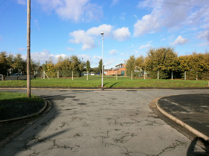
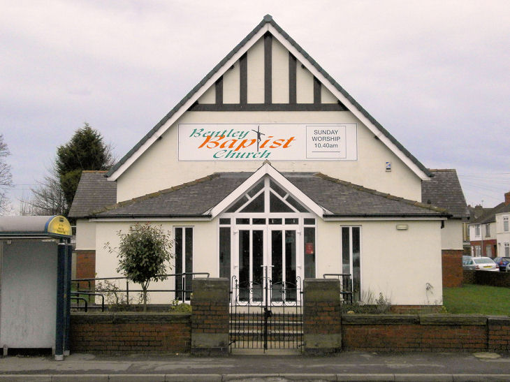
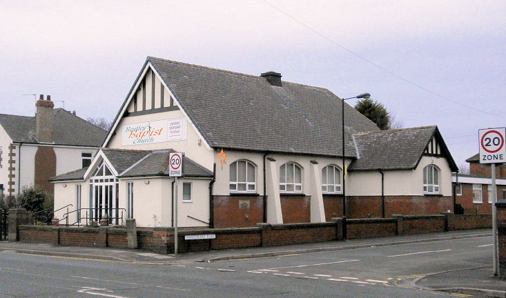
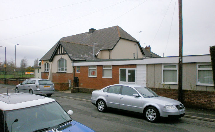
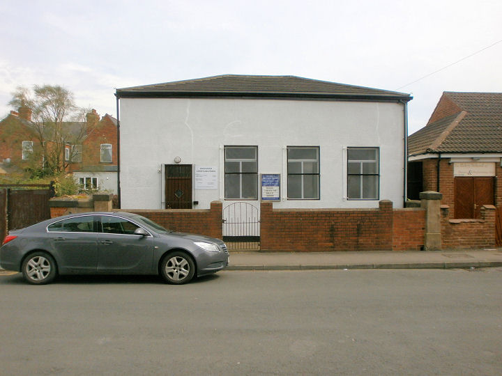
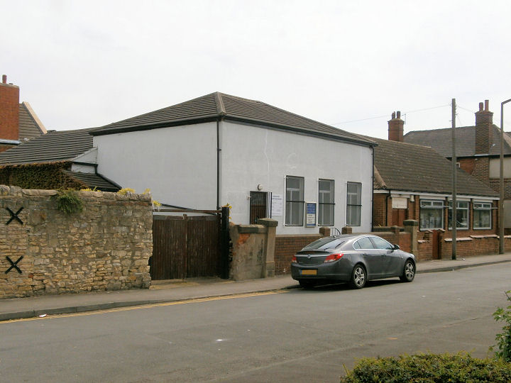
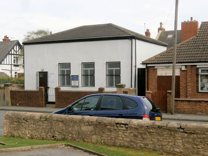
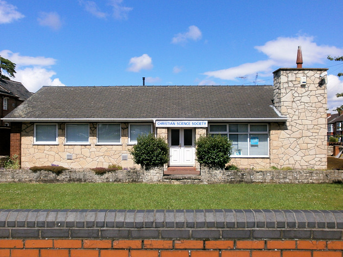
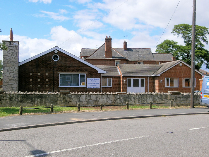
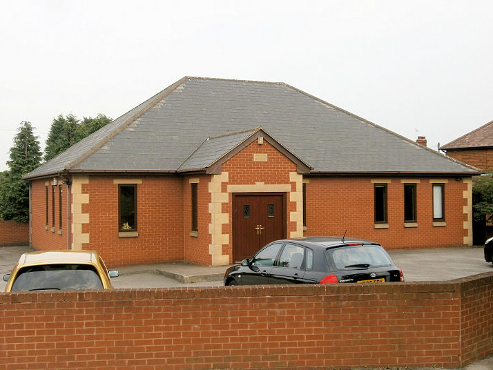
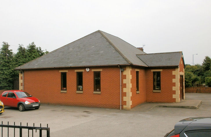
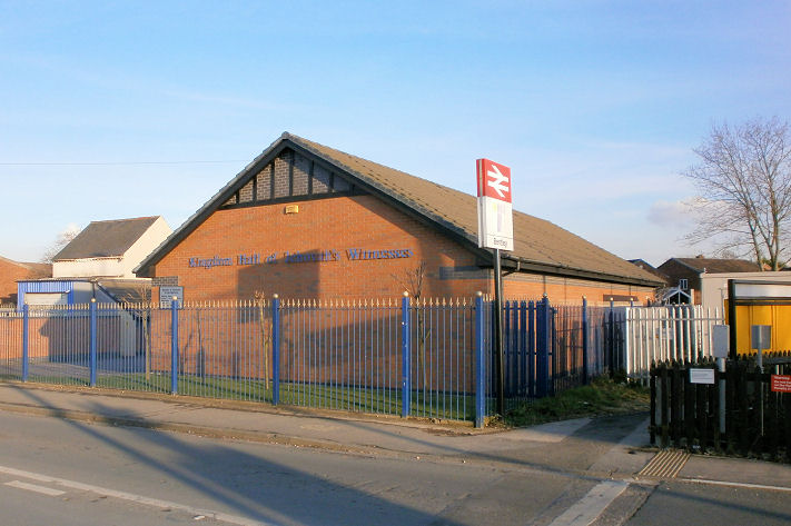
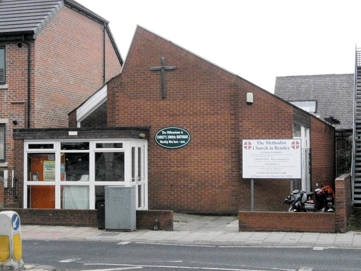
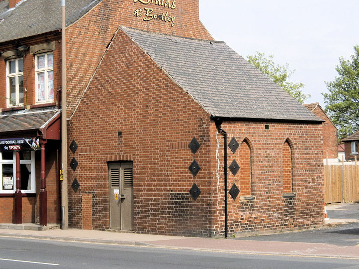
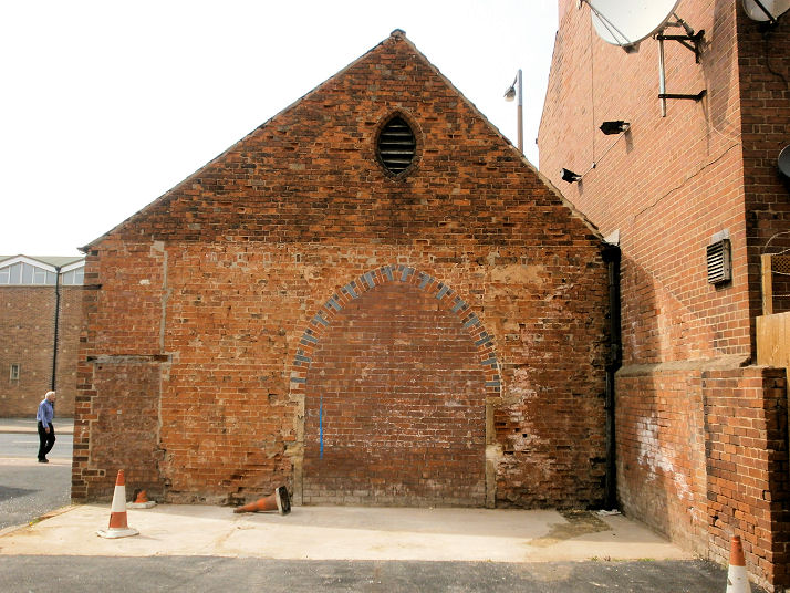
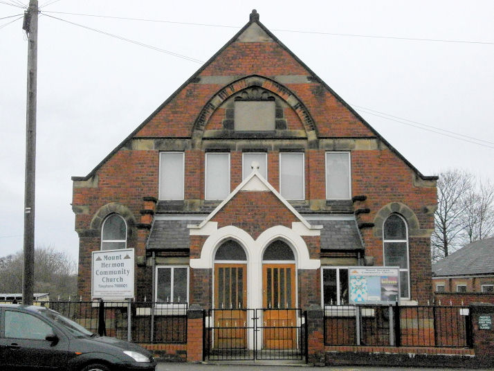
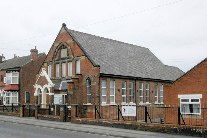
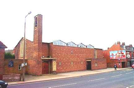
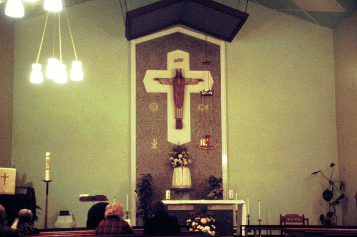
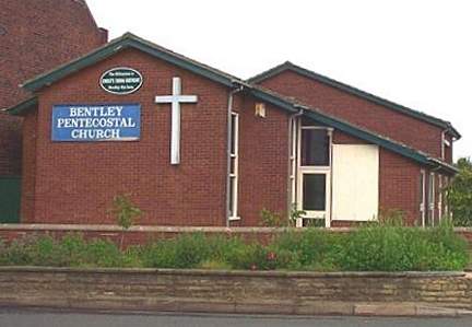
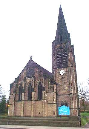
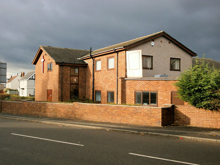
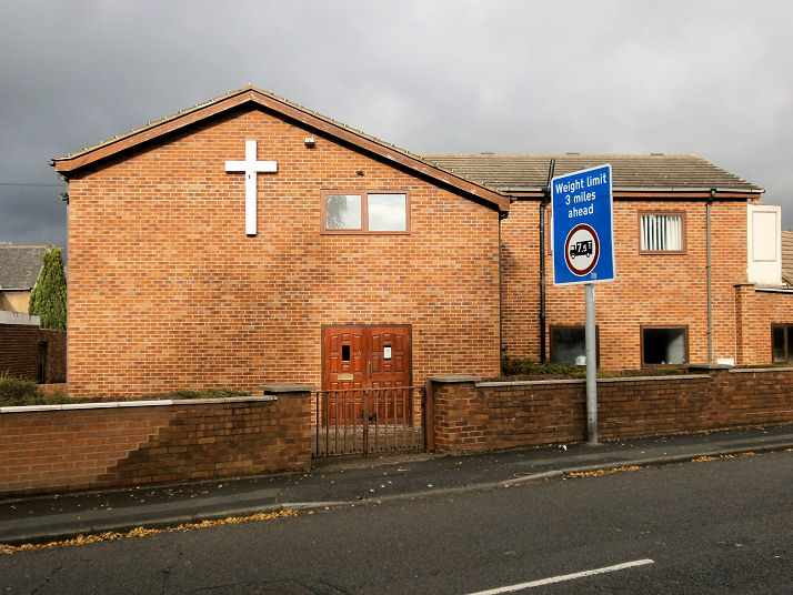
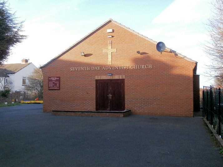
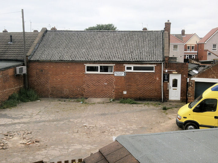
Bentley Baptist Church, built between 1906 and 1930, when it first appears on an OS map. Two additional views - 1, 2. All © Howard Richter (2012). Link. The Christadelphian Church on Chapel Street was probably built as Ebenezer Chapel (Primitive Methodist) - it shows as such on the OS map of 1892. Later Methodist (1959 map), it closed in 1968. How long it has been Christadelphian is not at present known. Two additional views - 1, 2. SE 566 059. All © Howard Richter (2014). This link shows it as it was in 2009. Link. Christian Science Centre on York Road and Grove Avenue. Another view. SE 561 043. Both © Howard Richter (2012). Link. The former Church of Christ on Askern Road and Huntington Street. Built some time after 1906 (not shown on the OS map of that year), on the 1930 edition it shows simply as "Church", and by 1959 it had been converted to secular use, "Works". A directory of 1927 has it as Church of Christ, and it was evidently a tin tabernacle. Two additional views - 1, 2. SE 5657 0655. All © Howard Richter (2013). Link (on the movement). Cornerstone Wesleyan Reform Church (1992) on York Road and Watch House Lane. Another view. SE 557 047. Both © Howard Richter (2013). Link. Kingdom Hall of Jehovah's Witnesses on Church Street. Another view, in which can also be seen the spire of St. Peter. SE 564 057. Both © Howard Richter (2014). Methodist Church on High Street. It stands on the site of (or at least, very near to the site of) the third of three Wesleyan Chapels in the village, which was opened in 1892, and seems to have survived until the 1980-92 edition of the OS map. It was a much larger building. SE 566 057. © Howard Richter (2013). Link. The former Mission Room on High Street. It pre-dated the 1892 O.S. map. Much altered, it now serves as an electrical sub-station. Another view. SE 5662 0571. Both © Howard Richter (2014). An old photo can be seen here (scroll down). Mount Hermon Community Church. Built as Primitive Methodist some time between 1892 and 1906, it shows on 1938-9 and 1960 OS maps as Methodist Church. A local resident told Howard that it became Mount Hermon Mission Church by the mid 1960's. Another view. SE 566 049. Both All © Howard Richter (2012). Link. Our Lady of Perpetual Help (R.C.). © Bill Henderson. Interior view, © Mike Forbester. Pentecostal Church. © Bill Henderson. St. Peter. © Bill Henderson. Salvation Army Hall on Arksey Lane at SE 571 062. Dating to 1979 or earlier (it shows on the OS map of that year). The 1930 map also shows "S.A. Hall" at the same place, evidently an older building. Another view. It is probably closed, as there is a newer building in Doncaster, on Booth Avenue, which has been in use since 2005. Both © Howard Richter (2013). Seventh Day Adventist Church on Bentley Road. Another view. SE 565 054. Both © Howard Richter (2014). Link. Spiritualist Church, in a yard off Askern Road. SE 5663 0660. © Howard Richter (2016). Link.
|
||
13 October 2023
© Steve Bulman