The Churches of Britain and Ireland
|
Battle, East Sussex
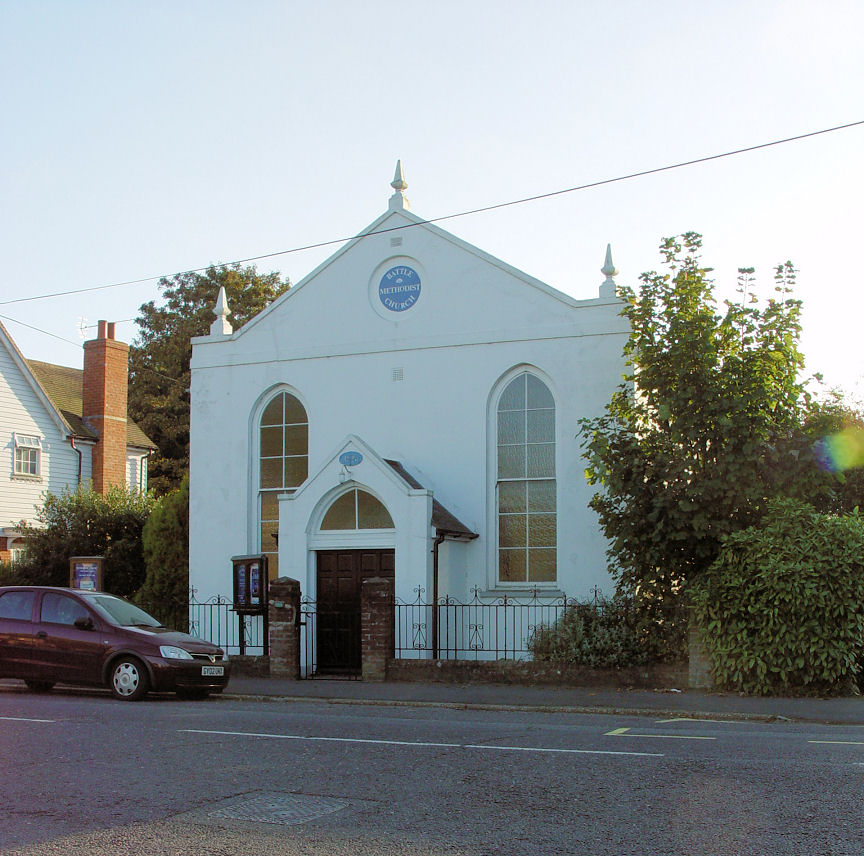
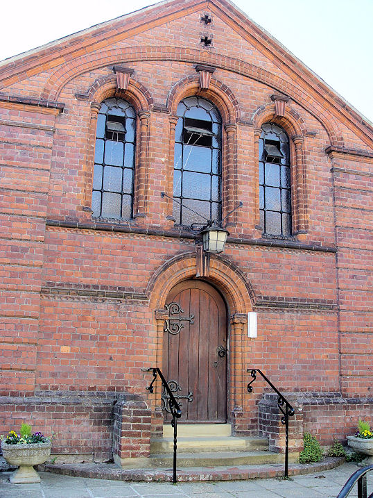
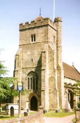
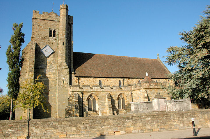
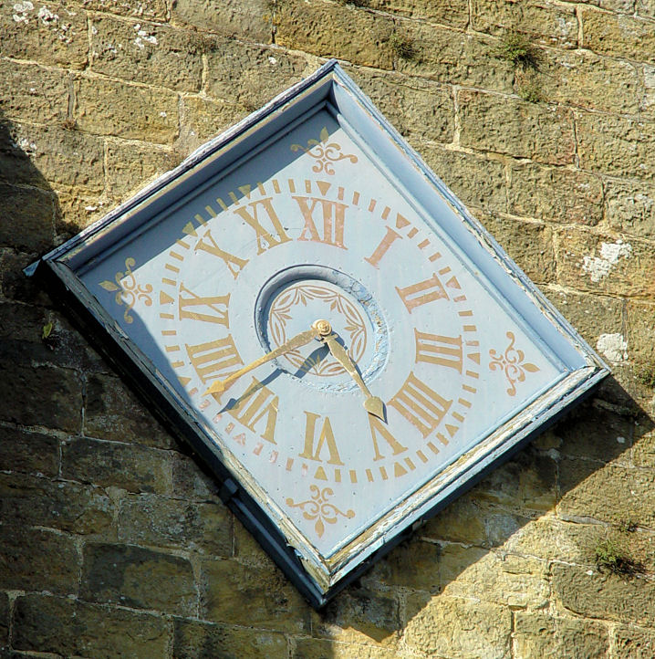
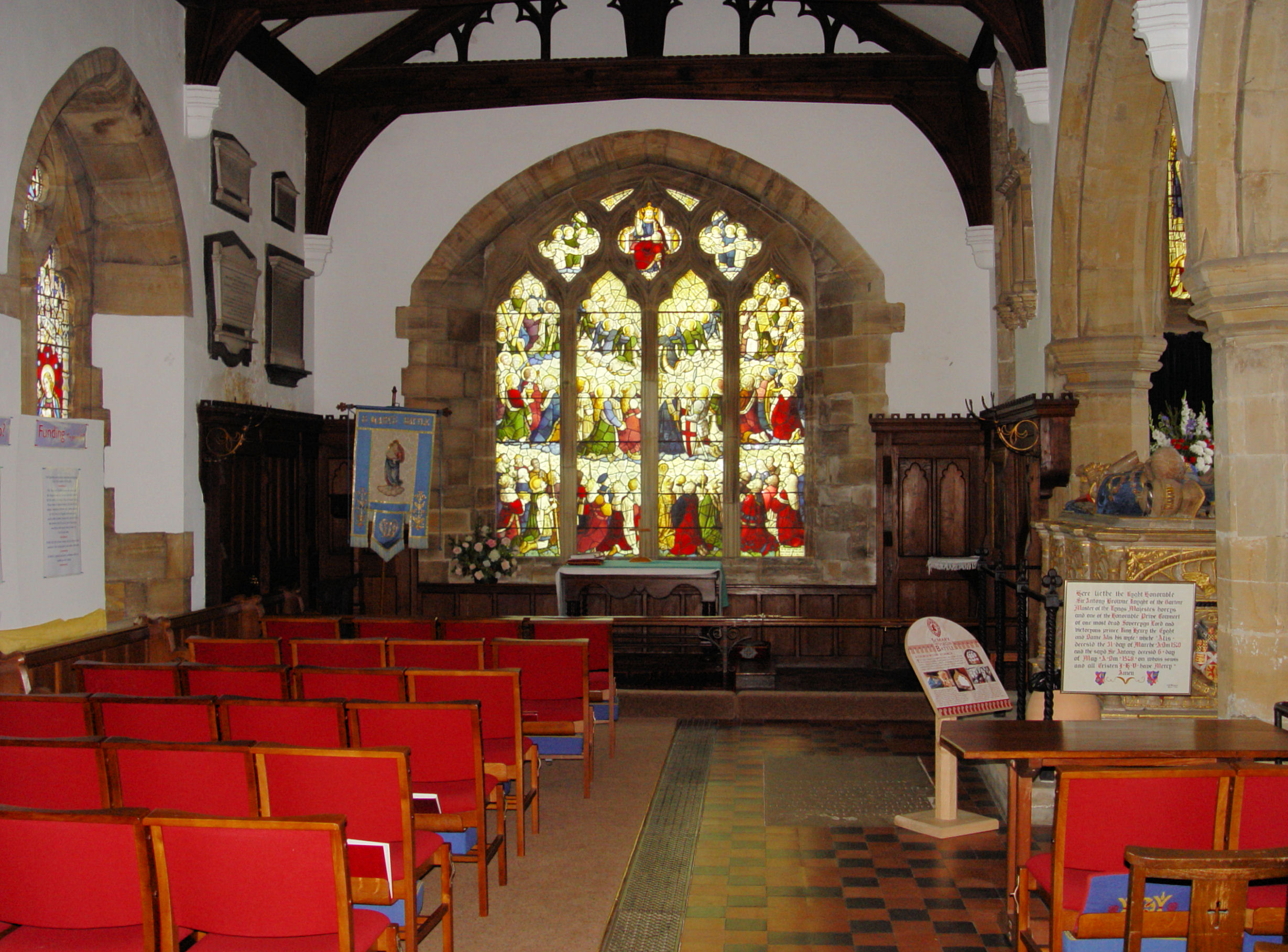
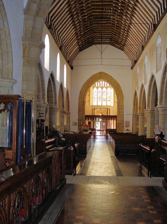
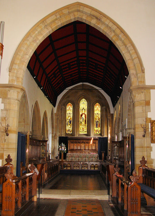
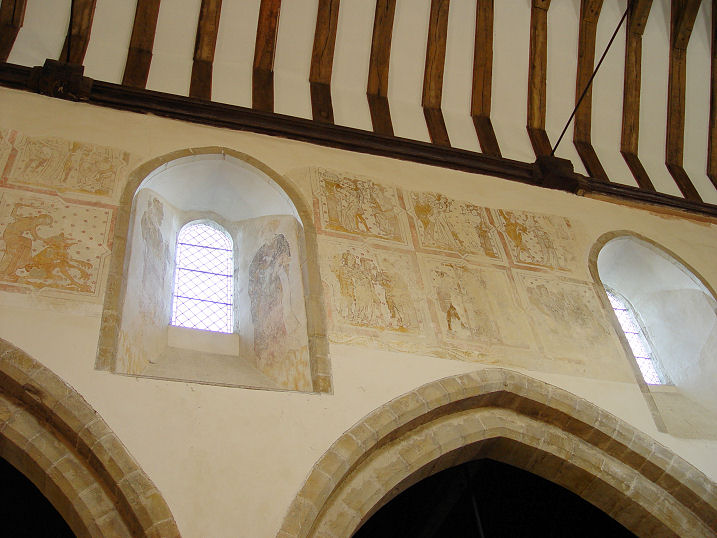
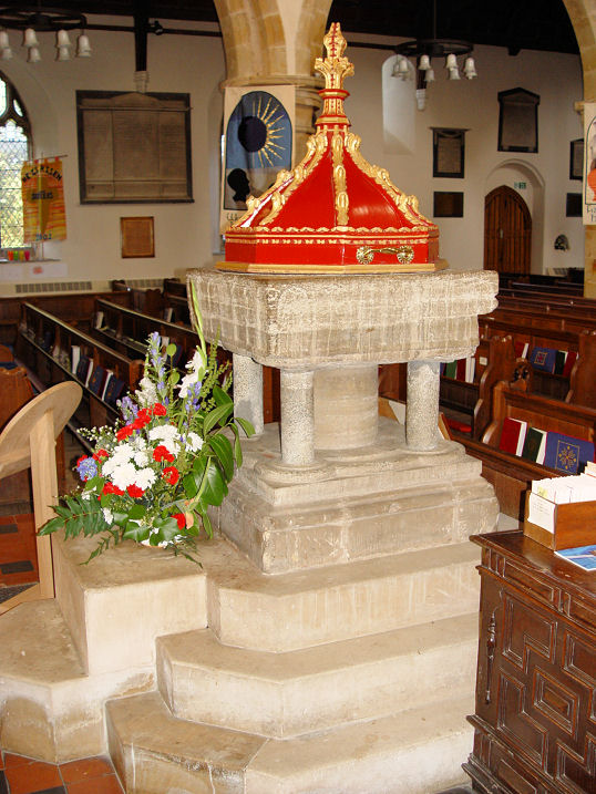
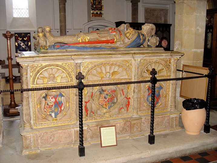
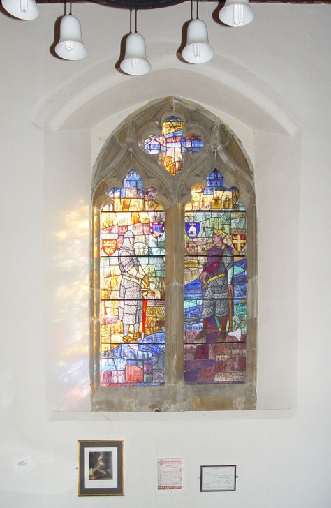
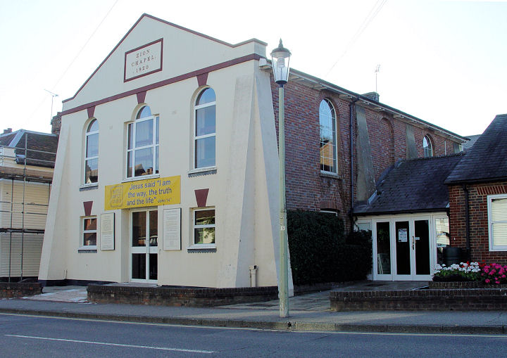
Battle Methodist Church on Lower Lake. Its date-stone is for 1826, as Wesleyan. TQ 7530 1541. © Steve Bulman (2009). Streetviews show it as having closed between 2011 and 2016. The 25" O.S. map of 1909 marks a Congl. Chap. on the east side of High Street at TQ 7472 1601. Still active up to the mid-20th century, it's now The Chapel Bar, and was seen by Streetview in 2024. The modern Emmanuel Centre (Methodist) on Harrier Lane, as seen (distantly) by Streetview in 2022. TQ 7580 1564. Link. The cemetery off Marley Lane has a double Mortuary Chapel, seen by Streetview in 2024. A large scale map of 1909 labels them as CoE (closest to the camera), and Nonconformist. TQ 7538 1589. Our Lady Immaculate and St. Michael (R.C.) in a tiny courtyard behind Zion Chapel, on Mount Street. TQ 7470 1614. © Steve Bulman (2009). Link. St. Mary the Virgin (O). TQ 7503 1580. © Mark Turbott. Another view, © Judith Anderson (2009). The clock, three interior views - 1, 2, 3, wall paintings, the font, the colourful monument to Sir Anthony Browne, and the Senlac Memorial window, all © Steve Bulman (2009). Link. Grade I listed. The churchyard war memorial is also listed, at grade II. Zion Baptist Chapel (1820) on Mount Street is home to Battle Baptist Church. TQ 7472 1615. © Steve Bulman (2009). Link. On a map of 1878 Zion is labelled as Zion Chapel (Par. Bapt.) for Particular Baptist. The adjacent building to its north is labelled as Baptist Chapel (General). It isn't labelled as a place of worship on a map of 1899, instead showing as Inst., or Institute. Its site, now a car park, was seen by Streetview in 2024.
|
||
10 November 2026
© Steve Bulman