The Churches of Britain and Ireland
| Balham, Greater London
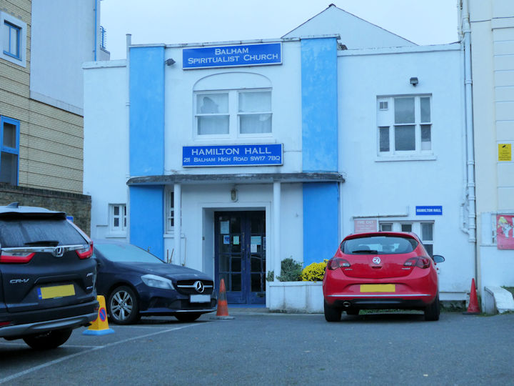
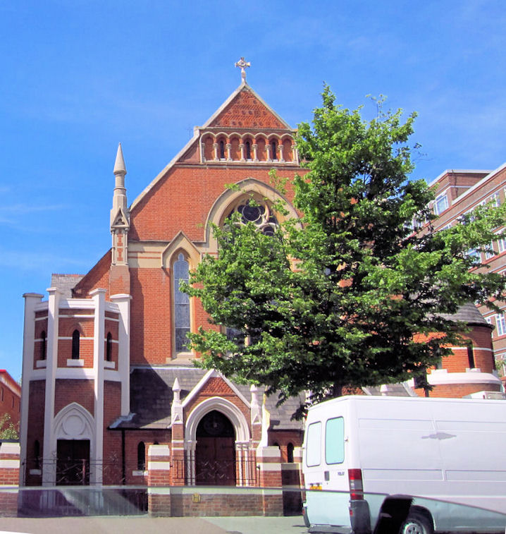
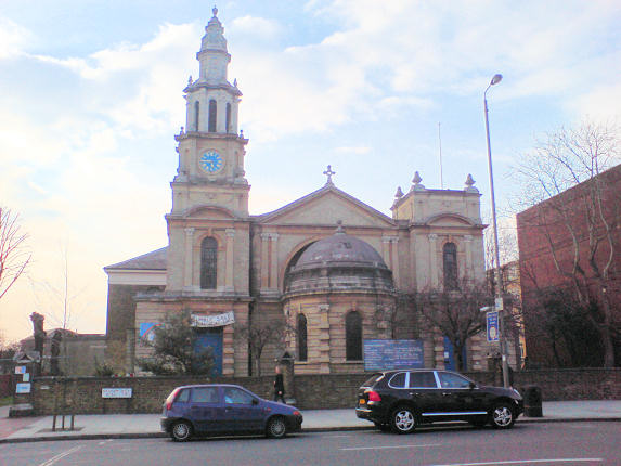
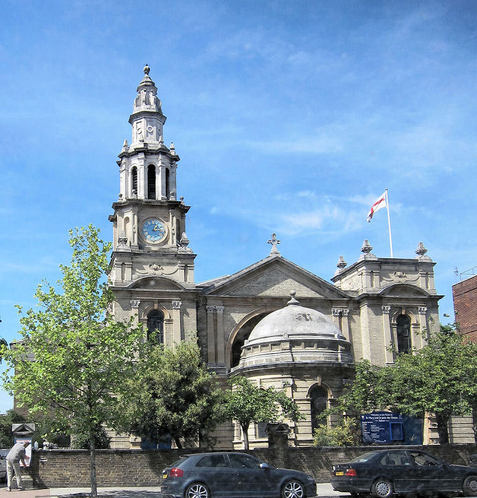
Ascension Church (2024 Streetview) on Malwood Road. Pevsner dates it to 1883-90. TQ 2869 7404. Link. Off Balham High Road is Balham Seventh-day Adventist Community Church. Access to it is via a narrow alley, seen by Streetview in 2022. Circa TQ 2838 7289. Link. The History page says that the present church was built on the site of its predecessor, which had previously "belonged to Spiritualists". Balham Baptist Church on Ramsden Road, as seen by Streetview in 2021. TQ 2847 7342. Link. This page says the church dates from 1874, though whether it began on the present site isn't made clear. Balham Mandir (2025 Streetview) on Balham High Road. TQ 2874 7364. Link. Balham Pentecostal Church (2025 Streetview) is on Balham New Road. TQ 2884 7359. Link. Balham Spiritualist Church, on Balham High Road. TQ 2834 7282. © Janet Gimber (2023). Link. A so-far unidentified Chapel is marked on O.S. maps on Boundaries Road at TQ 2824 7320. Pre-dating the 1894-6 map, it was still active at least up to 1938 but seems to have gone out of use by the 1950's. Still standing in 2024 (Streetview) it was demolished soon after. Can you advise what it was? Christ Church meets in Chestnut Grove Academy (2025 Streetview) on Chestnut Grove and Hearnville Road. TQ 2832 7340. Link. Church of Jesus Christ of Latter-day Saints (2018 Streetview) on Nightingale Lane and Ravenslea Road, dated by Pevsner to 1966, with later alterations. TQ 2777 7375. Holy Ghost (R.C.) (2019 Streetview) on Nightingale Square. TQ 2813 7369. Link. The Our History page dates it to 1896-7. Kosciól Chrystusa Króla (Christ the King, Polish Catholic), on Balham High Road. Janet Gimber has advised that it was previously Congregational. TQ 2828 7293. © Gerard Doherty (2011). Link. O.S. maps from 1894-6 show a Meth. Chap. off Balham New Road. It had gone out of use by the mid-20th century. Its site is beneath the rear half of the building seen by Streetview in 2025. This source mentions a Primitive Methodist Chapel on Balham New Road. TQ 2877 7364. Older maps show a Mission Room, set well back from Balham Hill. Pre-dating the 25"1897 map, mid-20th century maps don't label it as a place of worship. Gone by the time of the first Streetview visit in 2012, shops now stand on its site (2024 Streetview). TQ 2875 7381. The former St. John on Bedford Hill, as seen by Streetview in 2019. It's dated in Pevsner to 1883, with nave added in 1899. It's probably the church mentioned here as St. John the Divine, given as "declared redundant in 1985". TQ 2880 7277. St. Jude (2012 Streetview) on Heslop Road and Sarsfeld Road. TQ 2798 7310. Link. The History page dates it to 1892, successor to a tin tabernacle which stood where Balham Park Mansions is today - 2015 Streetview. Circa TQ 2798 7327. St. Luke on Ramsden Road and Thurleigh Road, as seen by Streetview in 2019. TQ 2818 7421. Link. The history page says that there was initially an iron church, from 1874, replaced by the present building commencing in 1883. St. Mark (U.R.C.) on Rowfant Road, as seen by Streetview in 2022. TQ 2822 7295. Link. St. Mary and St. John the Divine (1808), on Balham High Road. TQ 2837 7313. © Steve Bulman. Another view, © Gerard Doherty (2011). Link. Grade II listed, wherein it's dated to circa 1806 with later additions, particularly the west front of circa 1904. St. Thomas with St. Stephen on Telford Avenue and Salford Road, as seen by Streetview in 2019. TQ 2976 7309. Link. The history page gives a building date of 1901 (with later additions), successor to a tin church of 1885 which stood at the junction of Telford Avenue and Thornton Avenue. This shows on the 1897 25" map at TQ 2998 7307. Housing now stands on its site (2022 Streetview), though the church was a little further from the road. Salvation Army Community Church (2025 Streetview) is on Balham High Road and Rinaldo Road. TQ 2872 7372.
|
||
14 December 2025
© Steve Bulman