The Churches of Britain and Ireland
| Ashton-under-Lyne, Greater Manchester
Ashton-under-Lyne on
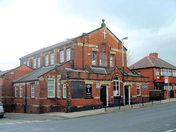
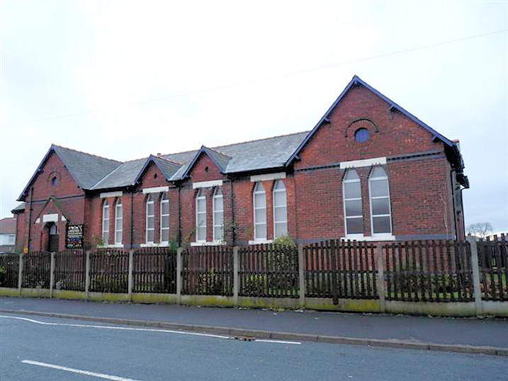
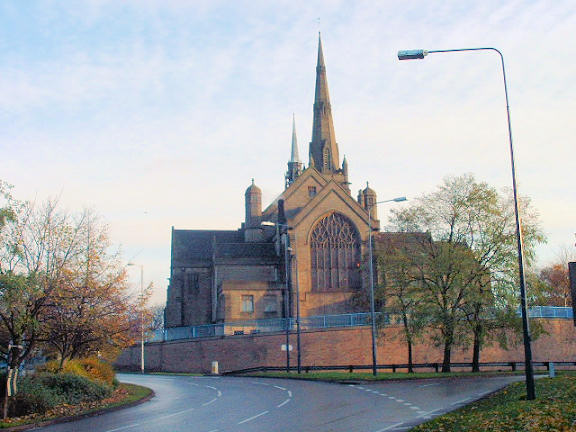
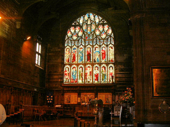
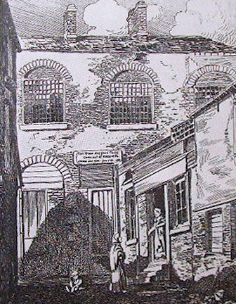
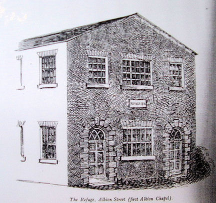
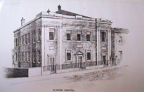
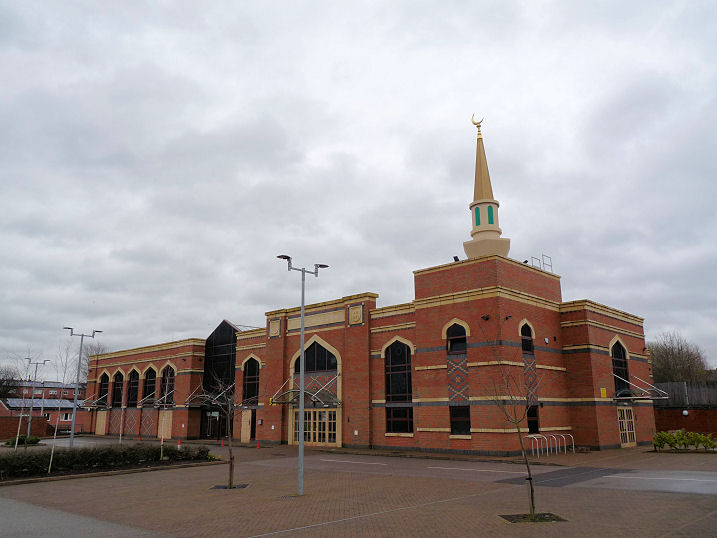
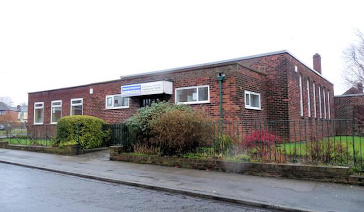
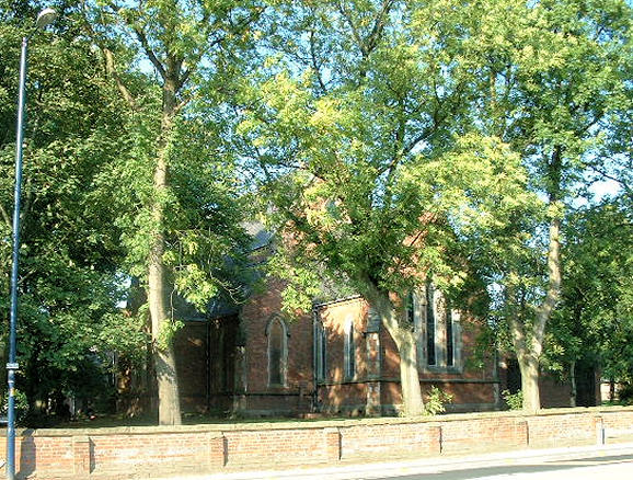
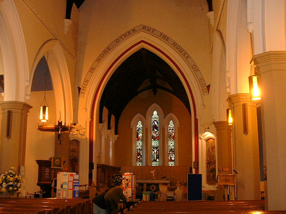
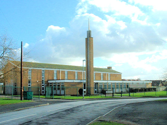
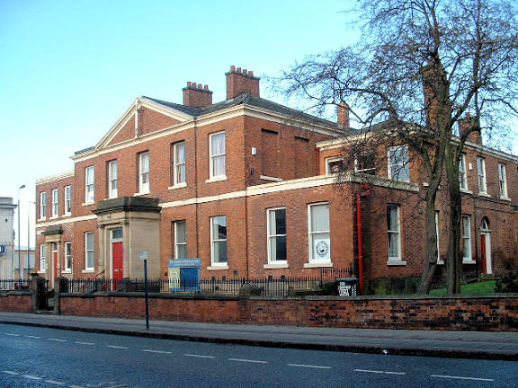
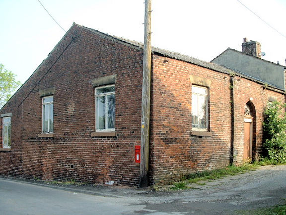
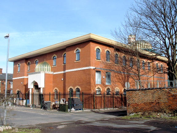
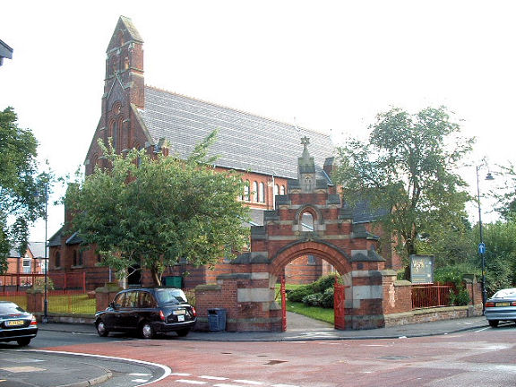
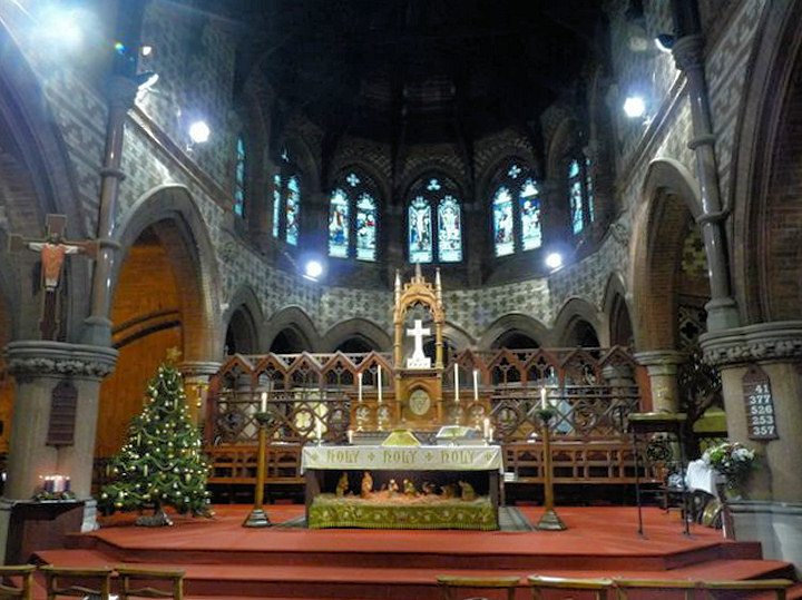
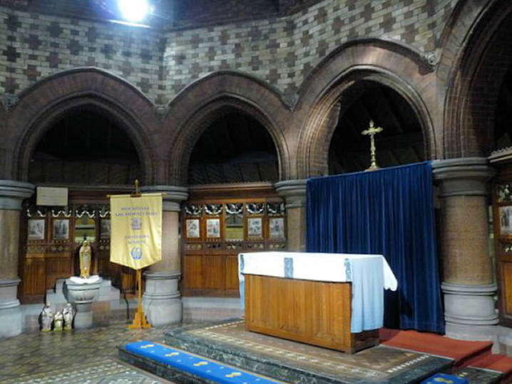
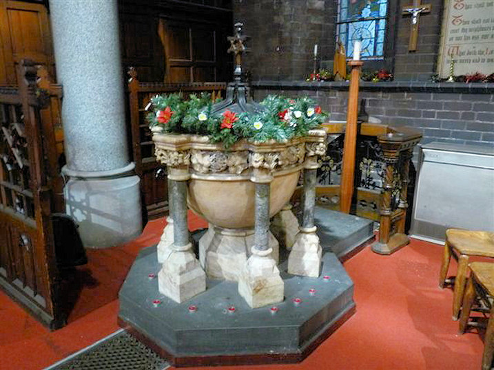
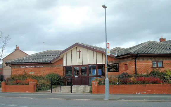
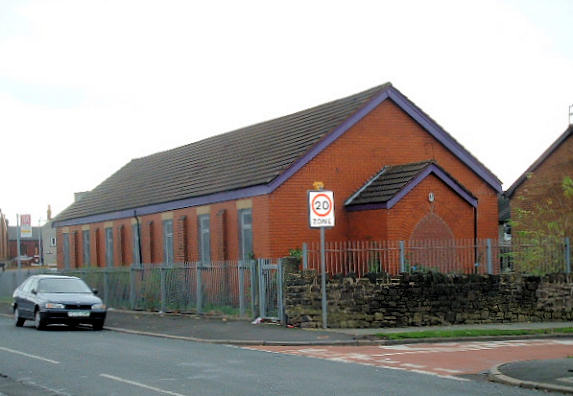
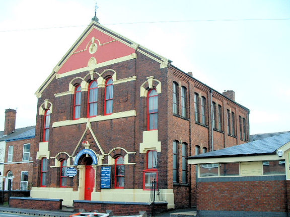
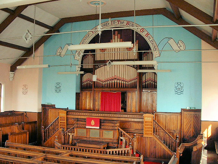
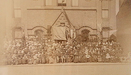
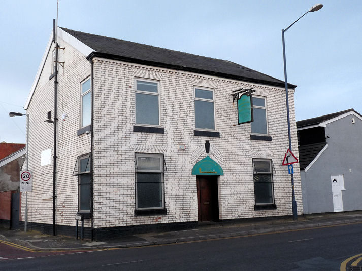
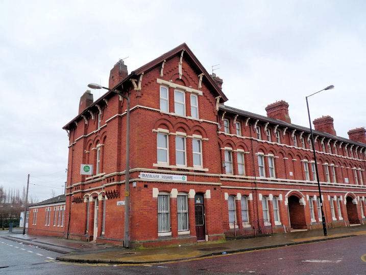
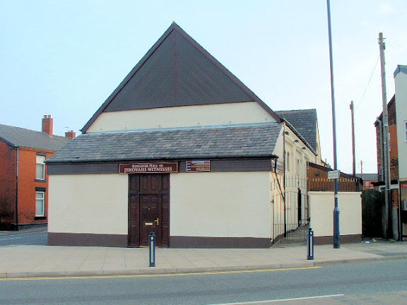
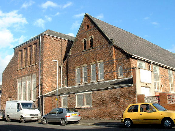
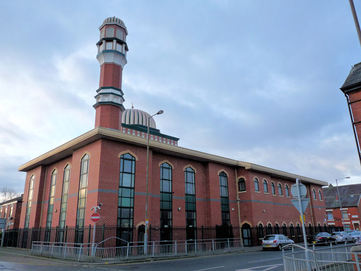
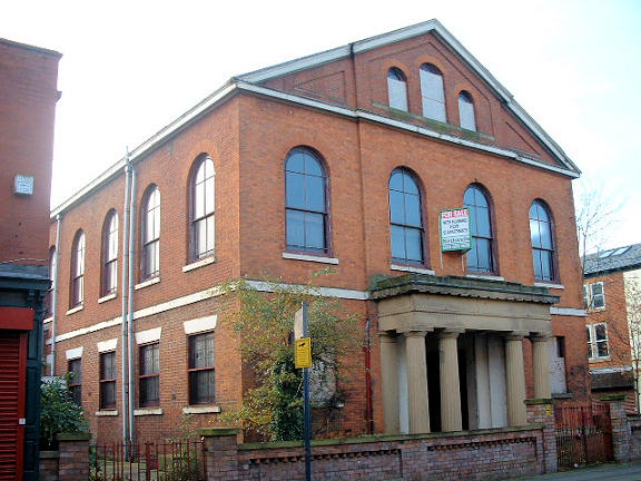
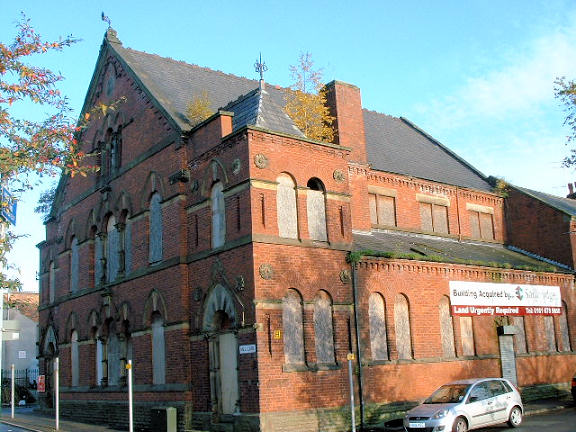
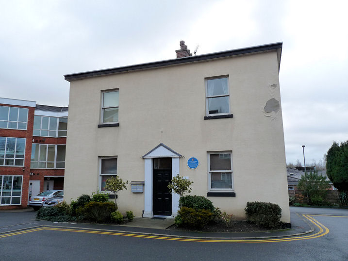
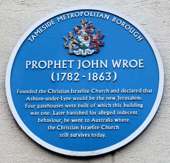
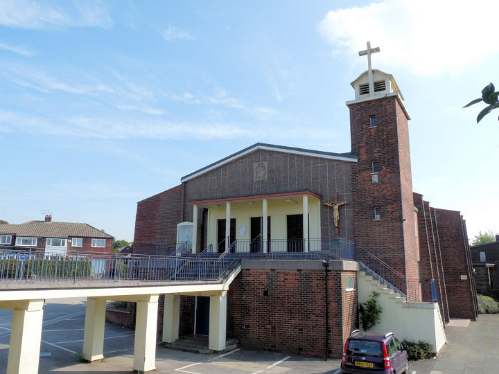
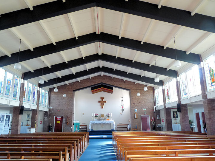
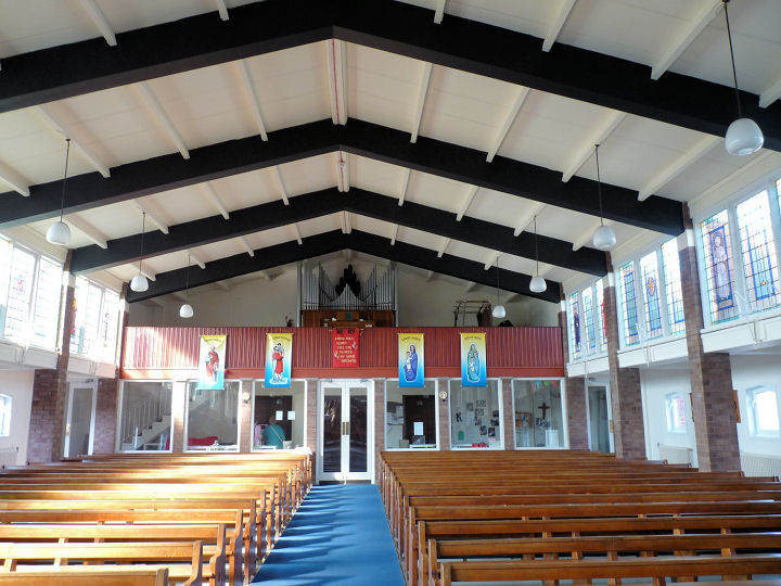
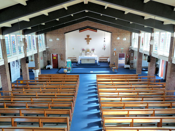
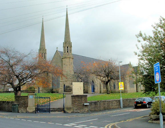
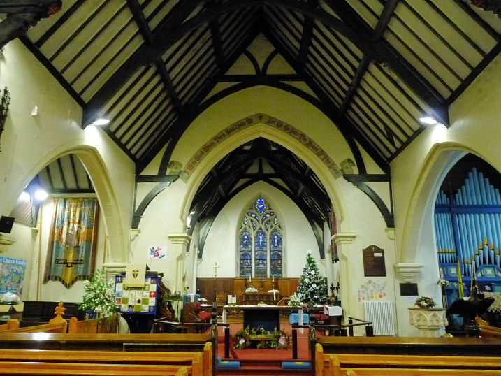
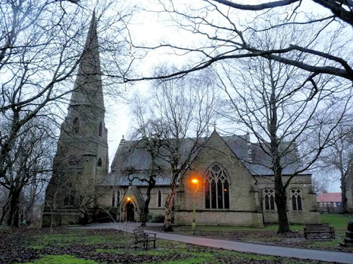
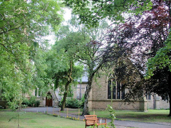
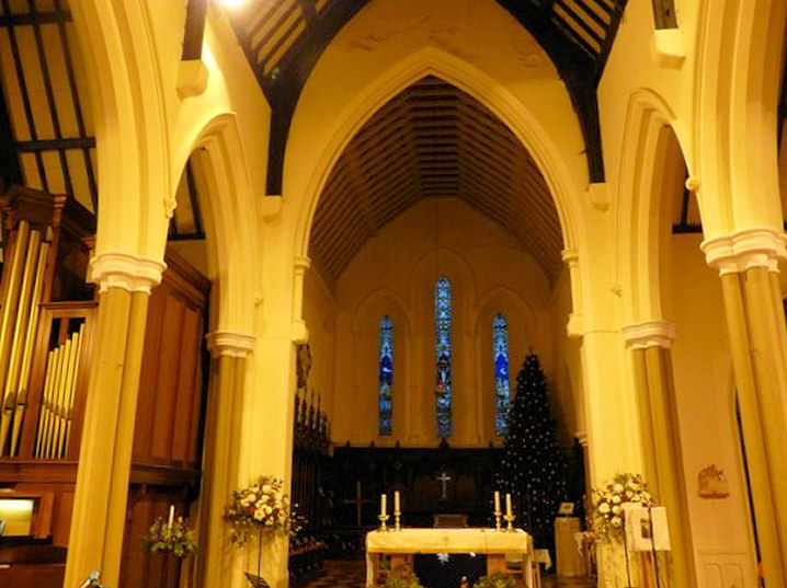
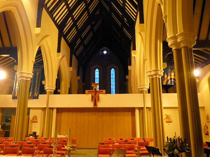
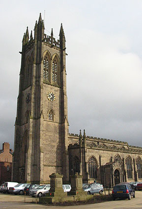
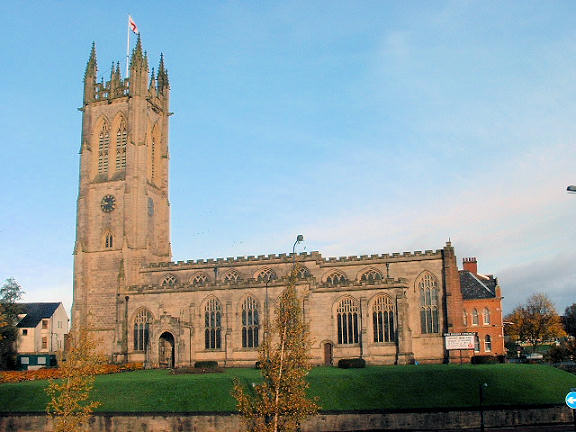
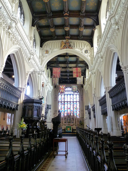
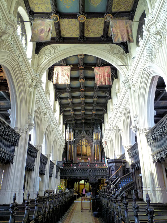
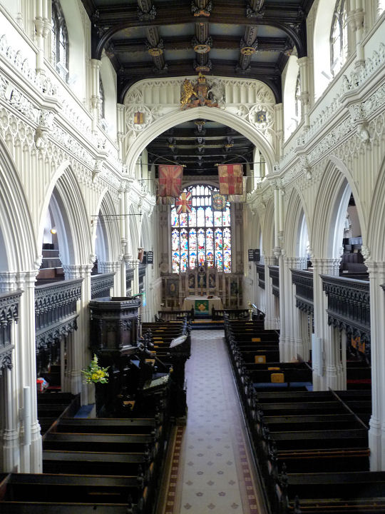
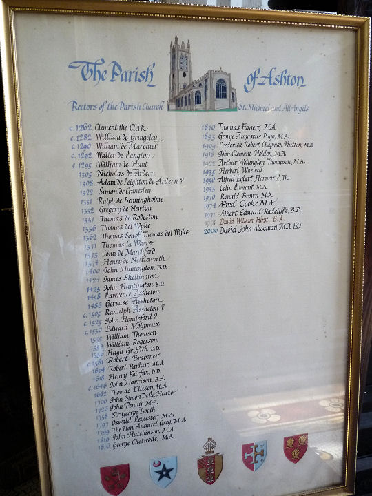
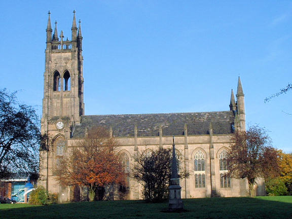
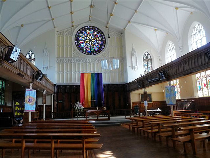
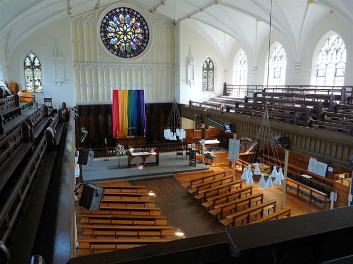
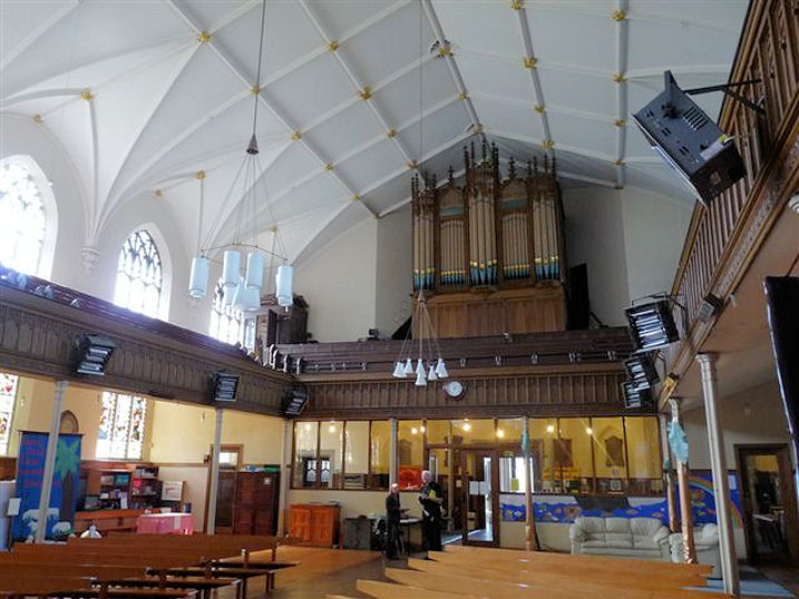
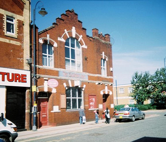
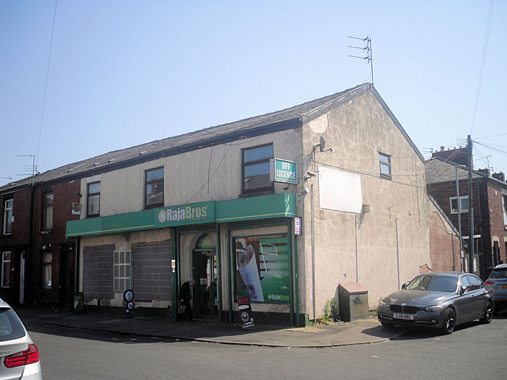
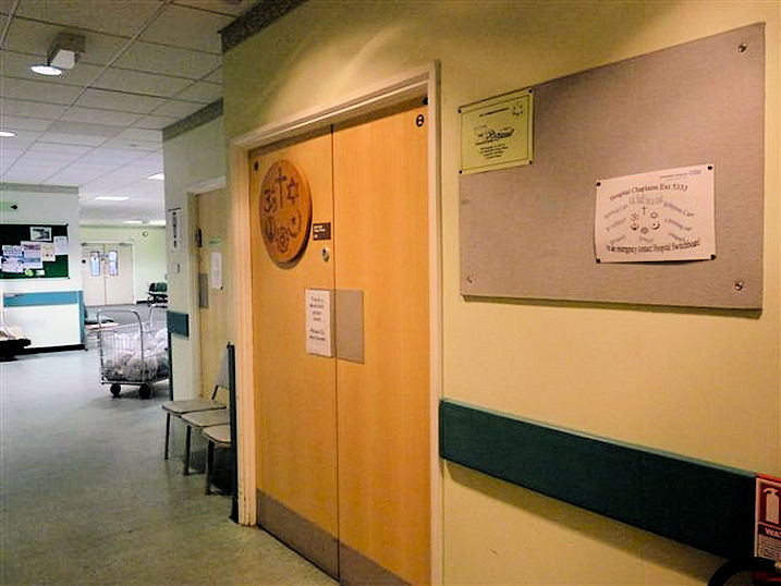
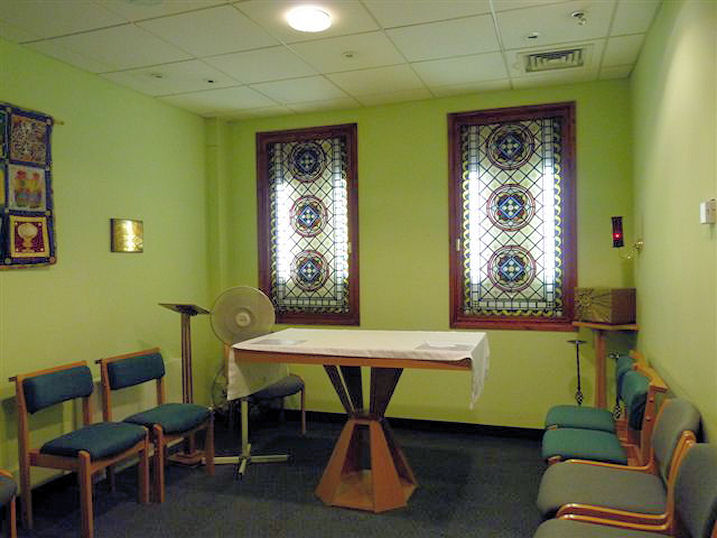
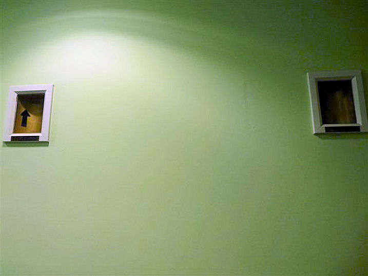
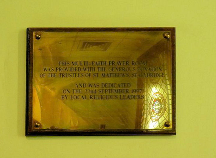
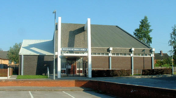
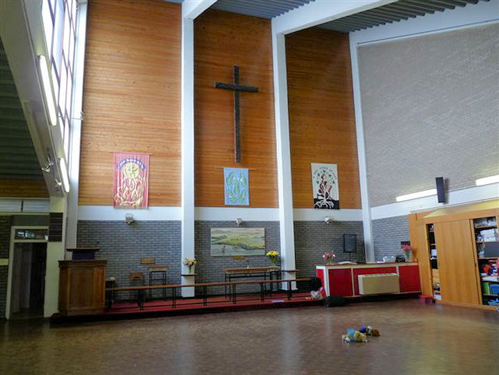
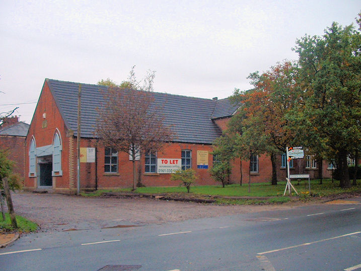
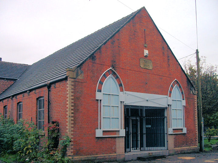
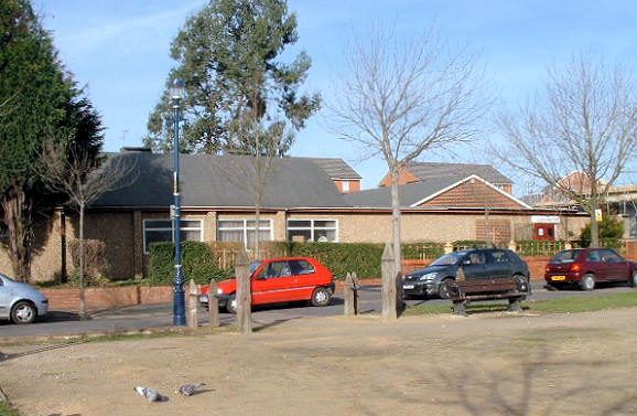
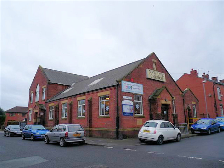
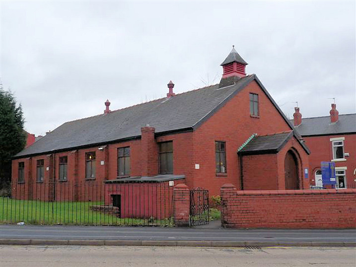
Wikipedia. Churches in Cockbrook. Albion U.R.C. (Charlestown Branch) on Alexandra Road and Lord Street. The building is a former Sunday School or stands on the site of one, as it's so labelled on maps of the early 20th century. Mid-century maps don't label it as a place of worship. SJ 9391 9958. © Mike Berrell. Link. Albion U.R.C. (Hurst Nook Branch) on Nook Lane, Hurst Nook. Just as with the previous entry, this is or seems to be a former Sunday School. SD 9499 0064. © Mike Berrell (2011). Link. Albion U.R.C. on Stamford Street is labelled as Congregational on older maps. Its grade II* listing dates it to 1890-5. SJ 9433 9901. Interior view. Both © Mike Berrell. Link. The following drawings of previous churches were photographed by Mike Berrell, and reproduced here by kind permission of the church. The Old Chapel on Harrop's Yard (1793-1816), The Refuge on Albion Street (1816-1835), and Albion Chapel (1835-1895). Available maps either don't show the street or chapel for any of these. Ashton Central Mosque on Hillgate Street and Holden Street. SJ 9435 9953. © Mike Berrell (2016). Link. Ashton Christadelphian Church is on Currier Lane. SJ 9430 9890. Link. The about us page says that it dates from 1974, successor to a hall on Bedford Street. No available maps show a place of worship on Bedford Street other than the surviving Albion U.R.C. (Charlestown Branch). The street ran along its north-west side, but Bedford Street itself no longer exists. Breakthrough City Church International on Ripon Street. SJ 9438 9944. © Mike Berrell (2010). In 2024 Google Maps was listing this as "Permanently Closed". Christ Church, on Oldham Road. Interior view. SJ 9337 9968. Both © Mike Berrell. A 2016 Streetview is less spoiled by vegetation. Link. Grade II listed, wherein it's dated to 1847-8. Church of Jesus Christ of Latter-day Saints, on Patterdale Road. SD 9300 0011. © Mike Berrell. Link. Church of the Nazarene (Wesleyan Evangelical; formerly Wesleyan Methodist) on Stamford Street Central and Mill Lane. It isn't indicated as a place of worship on a map of 1961; Genuki dates it to "before 1993. SJ 9369 9887. © Mike Berrell. Link. The former Fairbottom Wesleyan Methodist Chapel on Alt Hill Lane, Alt Hill. It seems to have been the same building as is indicated on a map of 1882 as a school - both then and on later maps it's shown as having a benchmark. It was renovated for secular use at some point after 2012, and the first Streetview to see it so was in 2020. SD 9402 0190. © Mike Berrell. Hamja Mosque, on Mowbray Street and Katherine Street (under construction, February 2007). SJ 9305 9883. © Mike Berrell. Mike has advised (2016) that this is now known as Masjid E Hamza (Deobandi). Link. Holy Trinity on Portland Street and Dean Street. It post-dates a map of 1848 - Genuki dates it to 1878. SJ 9324 9916. © Mike Berrell. Interior view, the Lady Chapel, and the font, all © Mike Berrell (2011). Link. An Independent Chapel used to stand between Stockport Road and Bollington Street at SJ 9310 9842. Pre-dating a map of 1848, available maps show that it survived in active use into the second half of the last century. It had an adjacent Sunday School, which in this 2021 Streetview stood at the corner; the chapel was further along to the left. Its Genuki entry, where there is a photo, calls it Ryecroft Congregational, dates it to 1852 (contradicting the map evidence) and says it was closed in 1967. Hurst Methodist Church on Curzon Road and Leam Street at SJ 9480 9962. It was built in 1996 on the site of a Wesleyan Methodist Chapel shown on a map of 1922 (and just as Meth. Chap. on one of 1894). However, a 6" map of 1911 shows no buildings on the site. According to Mike, Hurst Methodist was built to replace the former church on Curzon Road and French Street (which is now in secular use) though I now think this unlikely. On the 1922 map it's shown as Queen Victoria Memorial Church, which this source dates to 1902, as a daughter church of St. James (Anglican). SJ 9475 9962. Both © Mike Berrell. More research needed here! Independent Methodist Church (1877) on Wellington Road. Interior view. The chapel is almost unused now, because access is via a steep flight of stairs; the congregation now normally meets in a room on the ground floor. SJ 9375 9936. Both © Mike Berrell. This photo, taken by Mike Berrell of a photo on display in the church, and reproduced by kind permission of the church, shows the congregation gathered outside on the pavement. The caption (not included here) is quite difficult to read, but judging by the clothes, the photo must date from Victorian times. The signage in Mike's photo had changed by 2017 (Streetview), reading Wellington Road Christian Fellowship, but although the signage remained in 2021 (Streetview), the growth of shrubs and boarded up windows suggest that it is now closed. Jame' Mosque and Islamic Centre (Bangladeshi) on Cavendish Street and Dean Street. SJ 9339 9919. © Mike Berrell (2016). Jamia Al-Nur Mosque and Islamic Centre (Sufi-Bareilawi) on Trafalgar Square. SJ 9299 9813. © Mike Berrell (2016). Link. Kingdom Hall of Jehovah's Witnesses, on Mossley Road and Alexandra Street. Old maps show that it stands on the site of a (or is a former) Sunday School. SJ 9487 9959. © Mike Berrell. Markazi Jamia Mosque on Newton Street. SJ 9413 9930. © Mike Berrell. Older O.S. maps show it to be a former school. Streetviews show that it was demolished between 2011 and 2014, by which time it was a car park. Masjid Ar-Raheem stands between Stanhope Street and Leam Street at SJ 9480 9964. The most recent Streetview comes from 2019. In 2014 (Streetview) it was Jame Masjid Ahl e Hadith. Link. Masjid At-Taqwa on Moss Lane, as seen by Streetview in 2023. SJ 9266 9865. Link. Masjid Hamza (Deobandi) on Katherine Street, Richmond Street, Mowbray Street and Moss Street West. SJ 9297 9883. © Mike Berrell (2016). Link. It stands on the site of a Unitarian Church and Sunday School, shown on a map of 1898. Its Genuki entry dates it to 1897-1984. The former Methodist New Connexion Chapel on Stamford Street and Warrington Street. Now granted planning permission for conversion into flats. SJ 9395 9896. Its (now derelict) Sunday School, dated 1877, stands nearby on Mill Lane and Fleet Street. It remained in a deteriorating condition when seen by Streetview in 2023, though scaffolding is suggestive of making safe or refurbishing. SJ 9371 9882. Both © Mike Berrell. Of the New Christian Israelite Church, only a gatehouse (one of four originally) survives, on Park Square, Mossley Road. Founded by the eccentric John Wroe, a plaque commemorates him. Currently in use as offices, it has previously been a pub (The Odd Whim) and a hotel. SJ 9550 9996. Both © Mike Berrell (2014). Article on John Wroe and his church here, and on the church here. Queen Victoria Memorial Church - see Hurst Methodist Church, above. St. Ann (R.C.) on Burlington Street. SJ 9343 9911. © Mike Berrell. Two interior views - 1, 2. Both © Mike Berrell (2010). Genuki, which has interior views, dates it to 1870, when it replaced a church of 1850's badly damaged in rioting. Link. St. Christopher (R.C.) on Lees Road and St. Christopher's Road, Hurst Cross. Three interiors - 1, 2, 3. SD 9496 0078. All © Mike Berrell (2015). Link, where it's dated to 1954-5. . St. James the Apostle on Union Street. SJ 9417 9943. © Mike Berrell. Interior view, © Mike Berrell (2015). Link. Grade II listed, wherein it's dated to 1863-5. St. John the Evangelist, on King's Road. SD 9470 0039. © Mike Berrell (2011). Another view, © Mike Berrell. Two interior views - 1, 2, both © Mike Berrell (2011). Link. Grade II listed. A map of 1848 shows St. Mary's R.C. Chapel on Wellington Road, Yorkshire Street and West Street, at SJ 9372 9936. Genuki provides dates of 1856-2003, and a photo of it can be seen here. It hasn't survived - its site was seen by Streetview in 2008 when it was in use as a car park. St. Michael and All Angels on Church Street. SJ 9414 9900. © Paul Brown. Another view, © Mike Berrell. Three interiors of this fine church - 1, 2, 3. The list of rectors commences in 1262. All © Mike Berrell (2015). Link. Grade I listed. A headstone in the churchyard is separately listed, as grade II. St. Peter (CoE) on Manchester Road. It's dated here to 1821-4. Three interior views - 1, 2, 3. SJ 9307 9859. All © Mike Berrell. Link. Salvation Army Hall on Old Street. SJ 9370 9901. © Rob Brettle. The last Streetview to show it as S.A. was in 2011. By 2014 (Streetview) it was in commercial use. Shree Bharatiya Mandal (2023 Streetview) on Union Road. SJ 9434 9985. Link. The former Strict Baptist Church which stands at the corner of Graville Street and Crawford Street. Almost unrecognisable as a former church (though notice the arch-headed doorway), it's now in commercial use. SJ 9486 9883. © Gerard Charmley (2023), who advises that it closed in 1919. Tameside General Hospital on Fountain Street has a Multi-faith Chapel in Ladysmith Building. Interior view. Arrows point to Jerusalem (left) and Mecca (right). Dedication plaque. SJ 953 995. All © Mike Berrell (2010). Waterloo Methodist Church, on Vale Street, Waterloo. SD 9315 0068. © Mike Berrell. Interior view, © Mike Berrell (2010). Link. The former Wesleyan Methodist Chapel (1863), on Oaken Clough, Waterloo, is now in secular use. Another view. SD 9306 0086. Both © Mike Berrell. West End Methodist Church, on Trafalgar Square. SJ 9290 9816. It stands on the site of a Methodist New Connexion Chapel shown on a map of 1894. SJ 9290 9816. © Mike Berrell. A map of 1922 shows the M.N.C. Chapel as a Sunday School, and what must be presumed to be its successor as a U(nited) M(ethodist) Church on adjacent land just yards away along Hamilton Street. It has since been demolished, and its site was seen by Streetview in 2021.
Cockbrook
|
||
25 January 2024
© Steve Bulman